Nova Scotia Archives
Historical Maps of Nova Scotia
Results 406 to 420 of 2074 from your search:
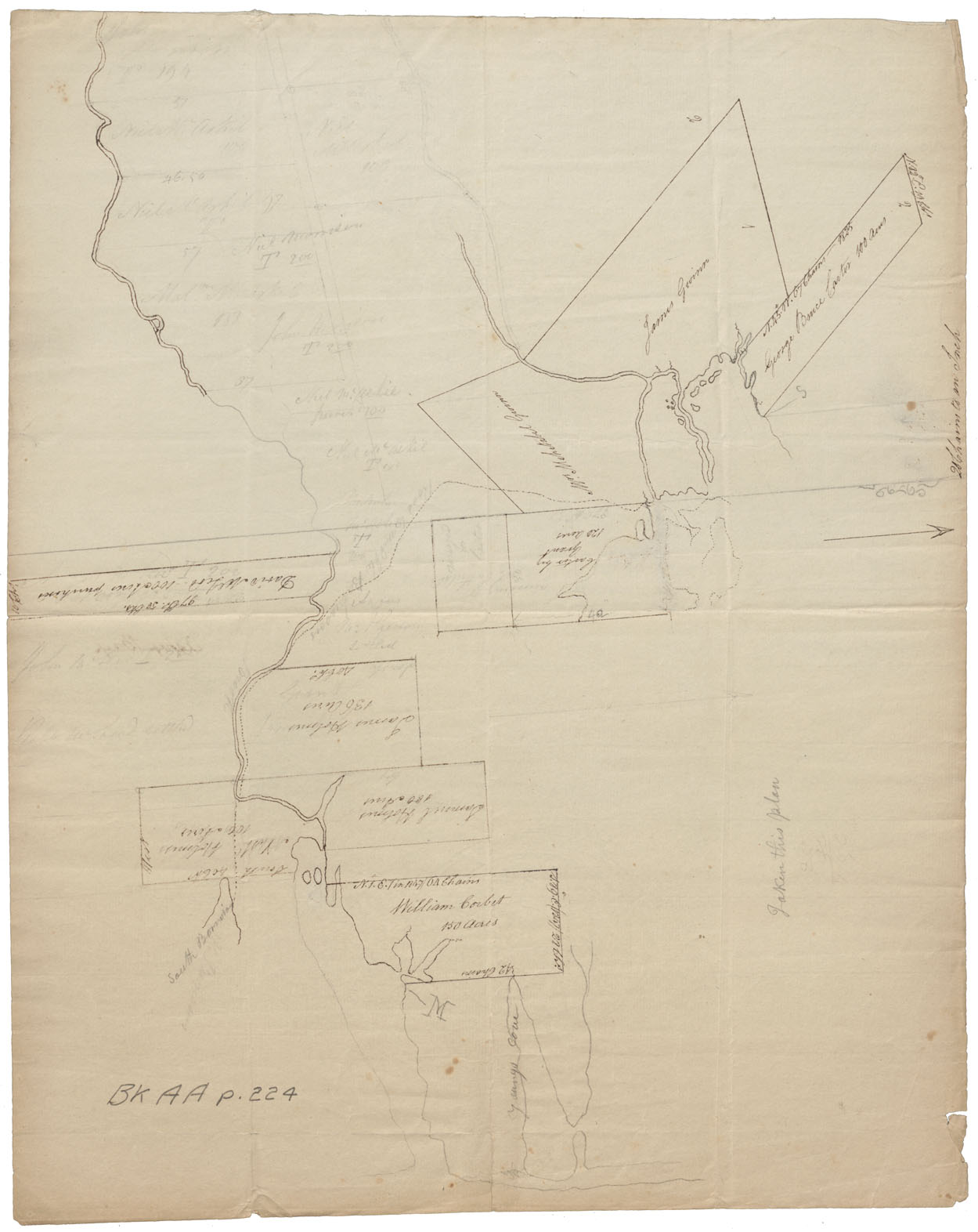
Cape Breton Aspy bay Bk AA p.224
Date: 1825
Reference: Nova Scotia Archives Map Collection: F/240 - 1825
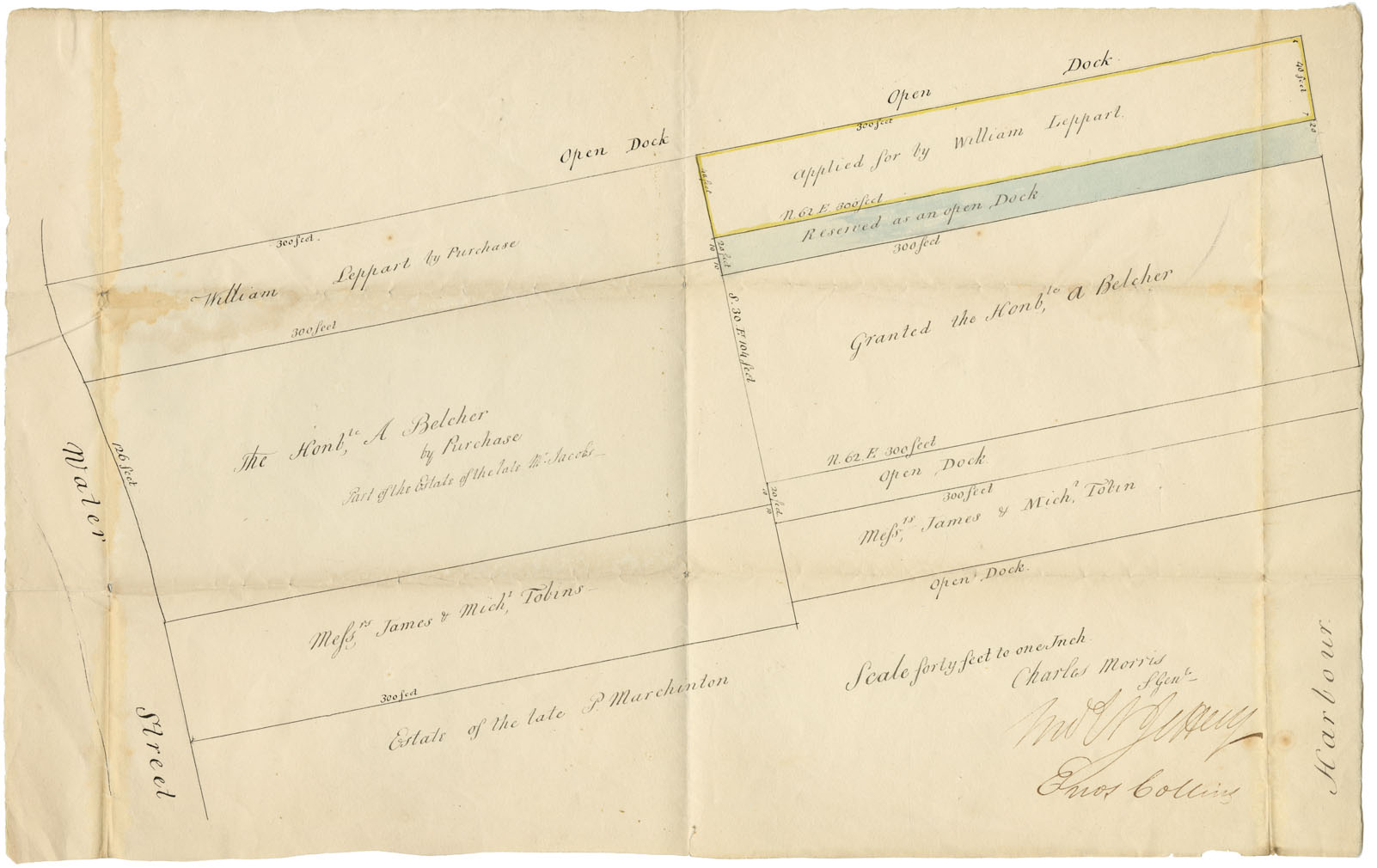
Halifax County Water Street, Halifax, N.S. wm 1825
Date: 1825
Reference: Nova Scotia Archives Map Collection: F/240 - 1825
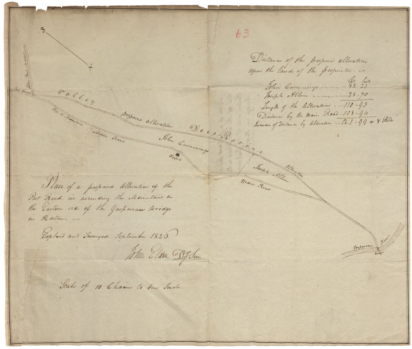
Plan of the proposed alteration of the Post Road in ascending the mountain on Eastern side of the Gaspareau Bridge in Horton
Date: 1826
Reference: Nova Scotia Archives Map Collection: F/209 - 1826
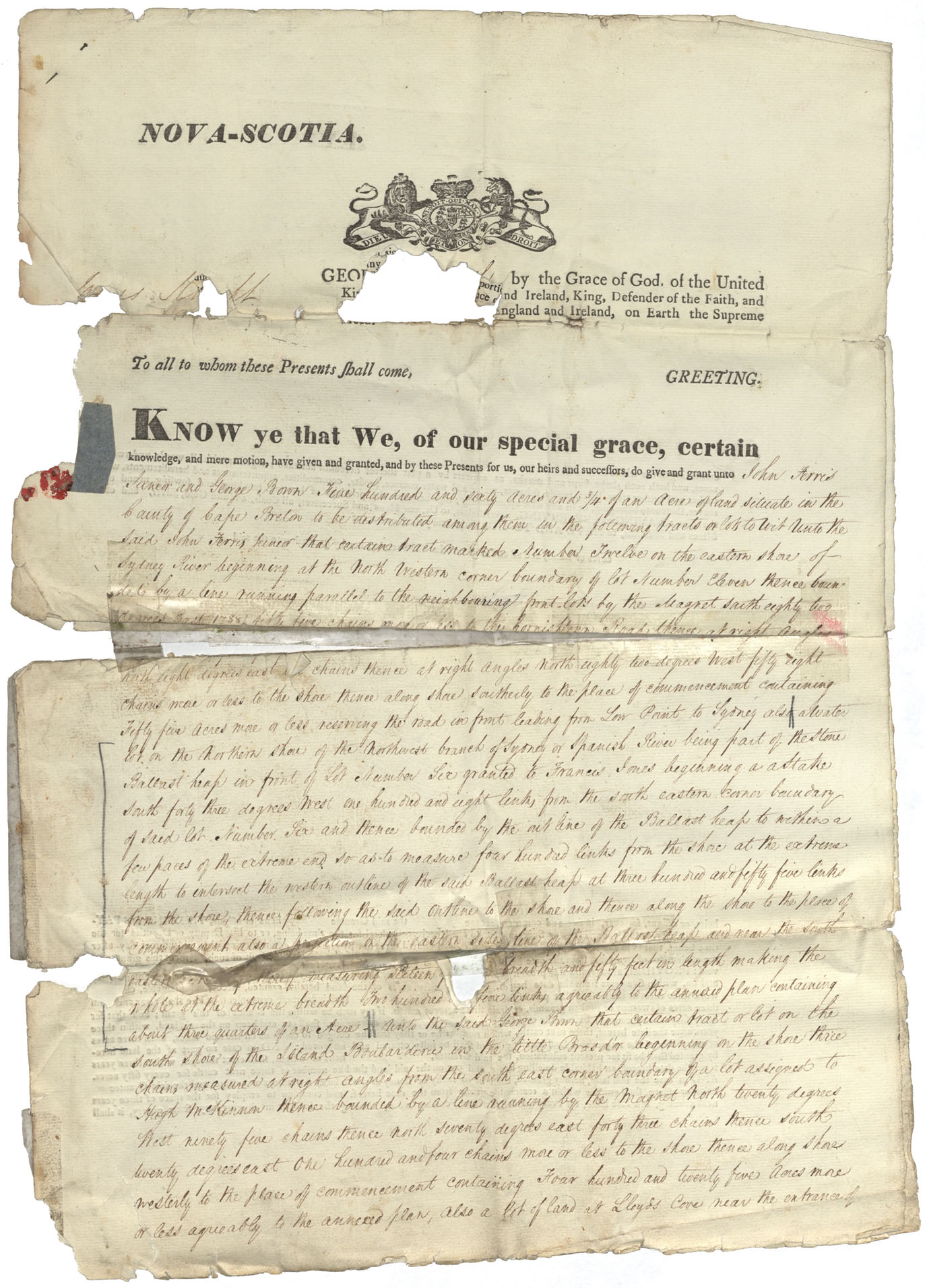
Cape Breton County Lot No12 on the eastern shore of Sydney River, 1826 to Lot No23 Land at Lloyd's Cove at entrance of Spanish River
Date: 1826
Reference: Nova Scotia Archives Map Collection: F/210 - 1826
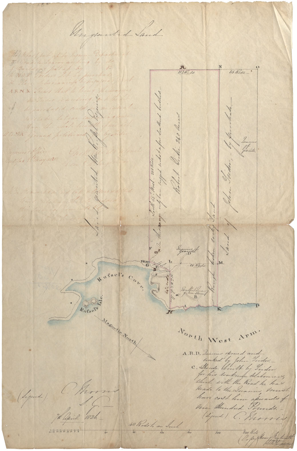
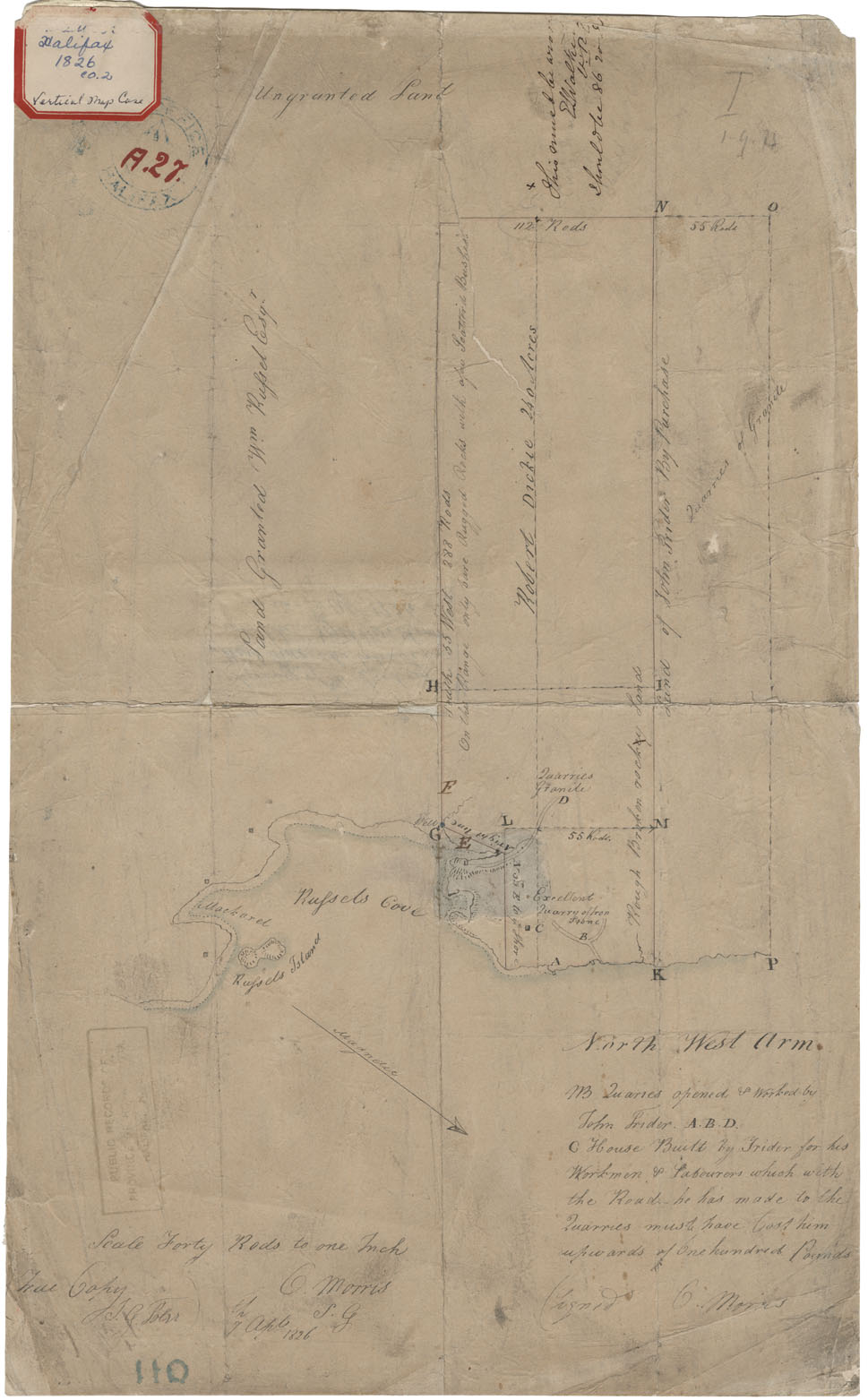
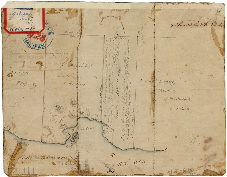
Halifax County Russel's Cove N.W.A. Halifax 1826
Date: 1826
Reference: Nova Scotia Archives Map Collection: F/210 - 1826
Halifax County East & South Branches of the Gays River, 1826
Date: 18 January 1826
Reference: Nova Scotia Archives Map Collection: F/230 - 1826
Survey of the West side the Entrance into the North West Arm
Date: 7 April 1826
Reference: Nova Scotia Archives Map Collection: F/239 - 1826
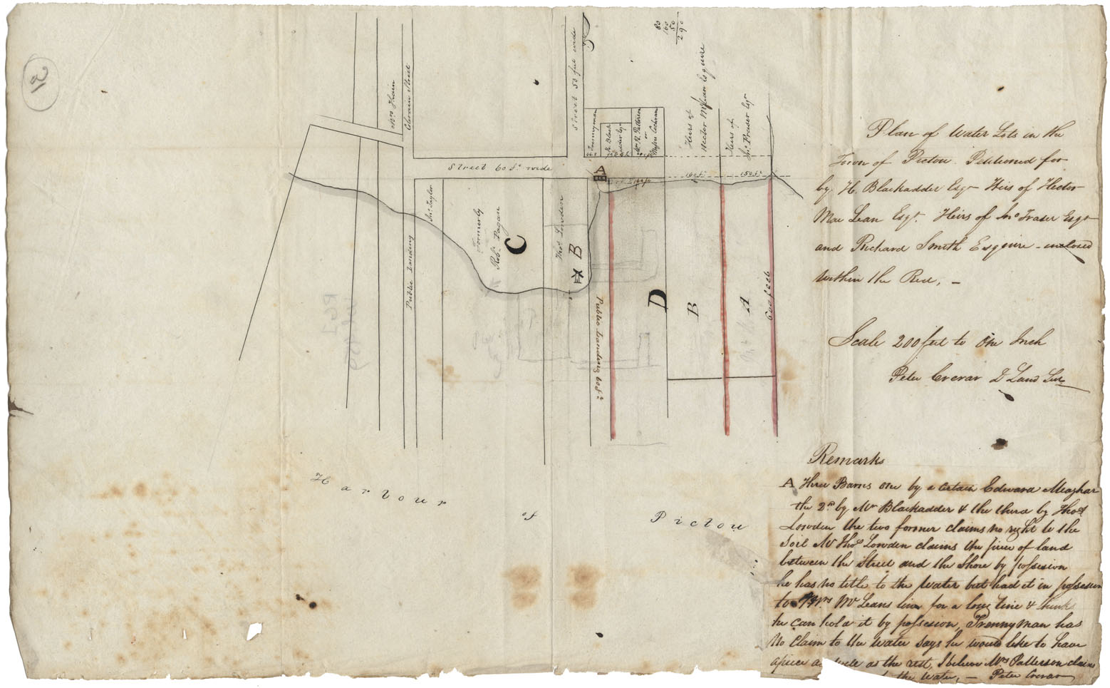
Plan of Water lots in the Town of Pictou
Date: 1826
Reference: Nova Scotia Archives Map Collection: F/239 - 1826
West side of the N.W.Arm Halifax
Date: 1826
Reference: Nova Scotia Archives Map Collection: F/240 - 1826
South Suburbs of Halifax from Salter to Morris St
Date: 1826
Reference: Nova Scotia Archives Map Collection: F/240 - 1826
Cape Breton Plaister Cove Great Bras d'Or, wm 1826
Date: 1826
Reference: Nova Scotia Archives Map Collection: F/240 - 1826
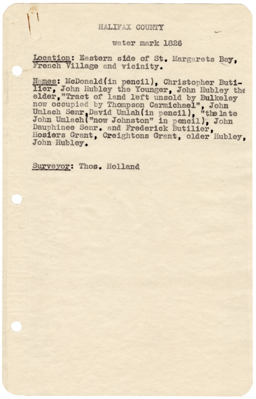
Halifax County Eastern side of St Margaret's Bay, French Village and vicinity wm.1826
Date: 1826
Reference: Nova Scotia Archives Map Collection: F/240 - 1826
"Coppy [sic] of the Plan of Land Survey to Sundry Person on Esteheated [Escheated] Land Late Hales Grant"
Date: 2 March 1827
Reference: Department of Lands and Forests Nova Scotia Archives RG 20 Series C vol. 88 no. 180
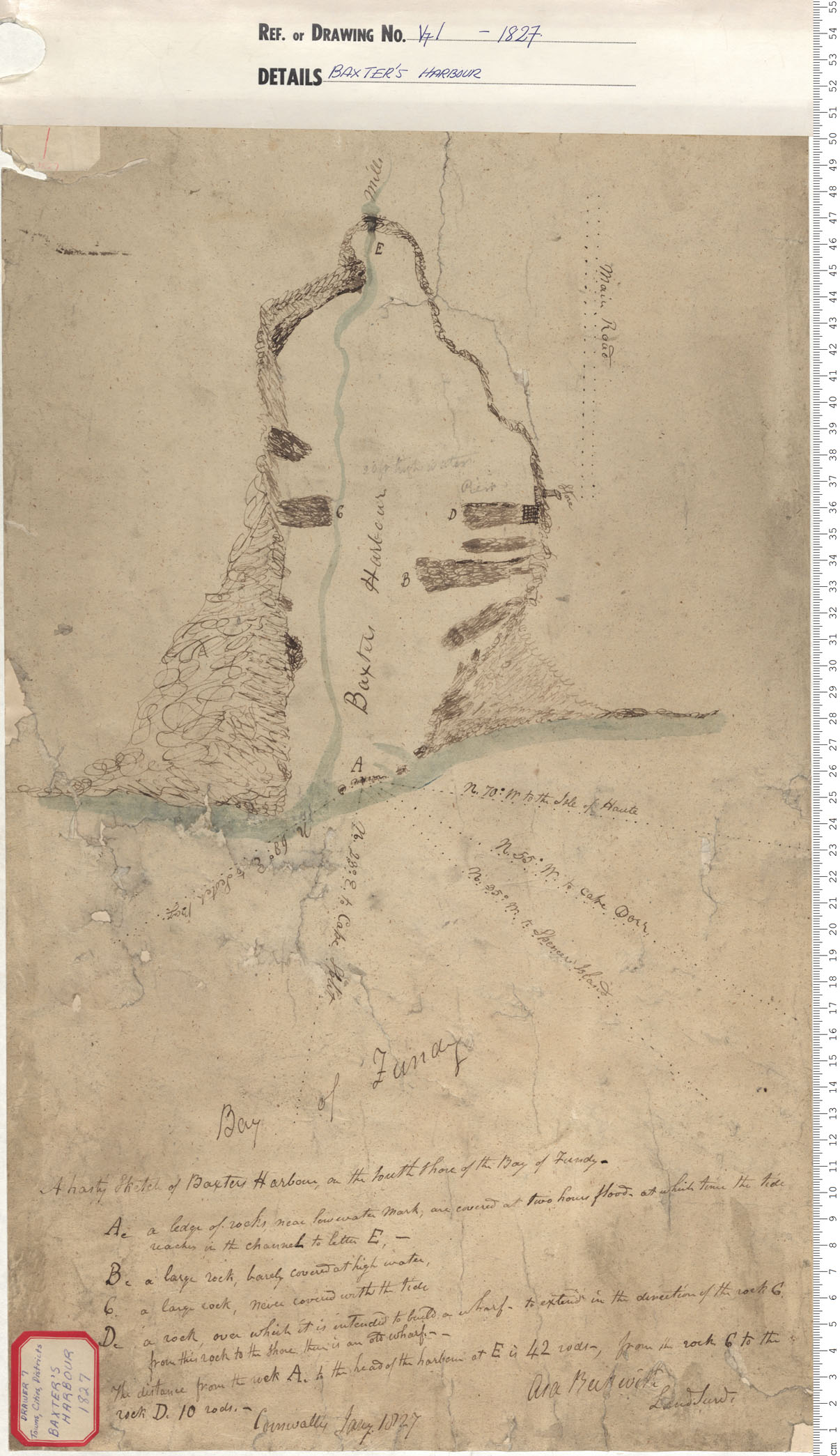
Baxter's Harbour
Date: 1827
Reference: Nova Scotia Archives Map Collection: V7 Baxter's Harbour, Nova Scotia
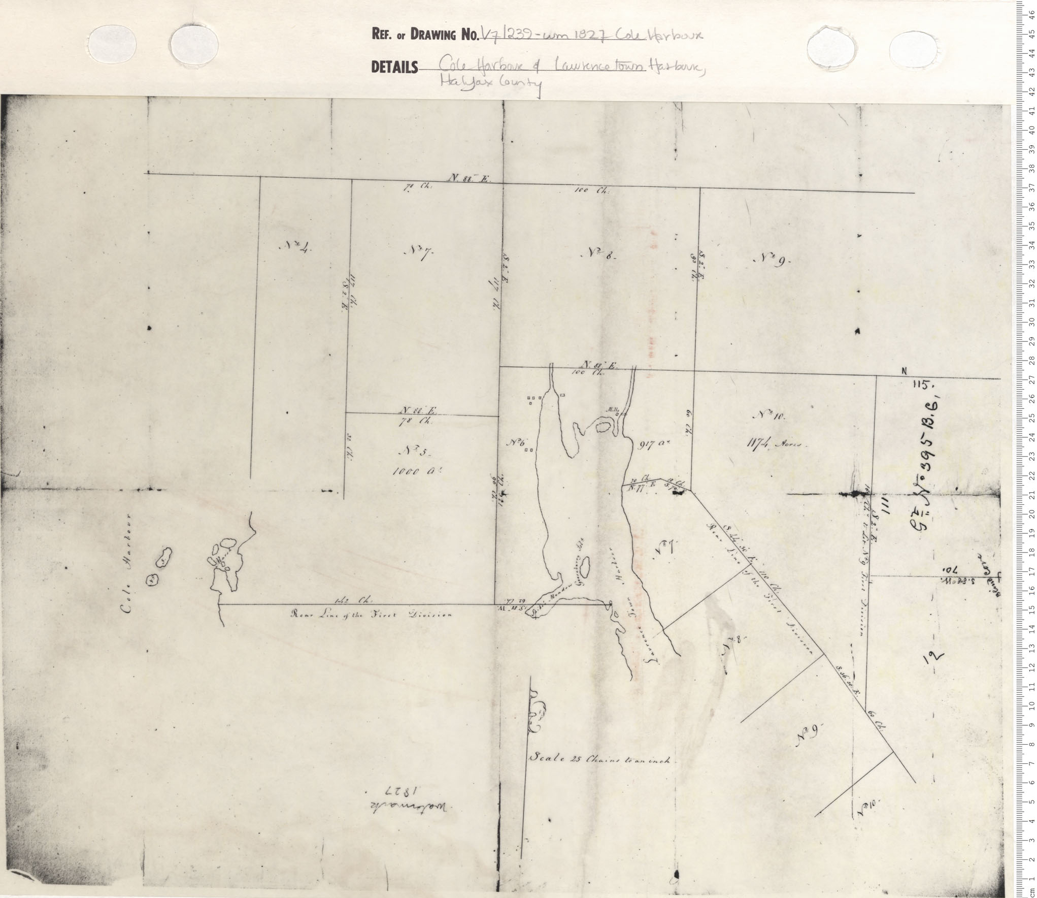
Cole Harbour and Lawrencetown Harbour, Halifax County
Date: 1827
Reference: Nova Scotia Archives Map Collection: V7 239 Cole Harbour, Nova Scotia
