Nova Scotia Archives
Historical Maps of Nova Scotia
Results 451 to 465 of 2074 from your search:
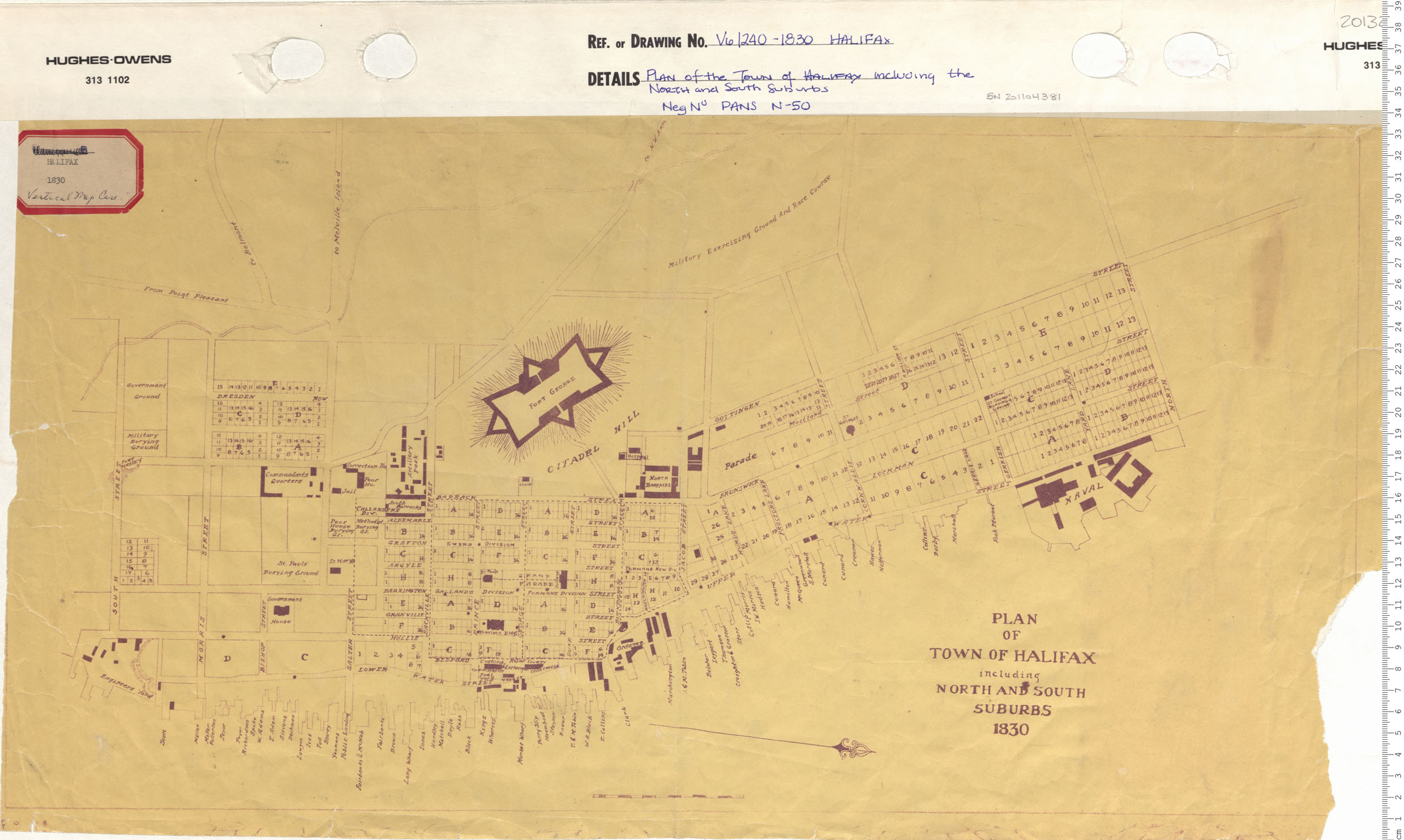
Plan of the Town of Halifax including the North and South Suburbs
Date: 1830
Reference: Nova Scotia Archives Map Collection: V6 240 Halifax, Nova Scotia
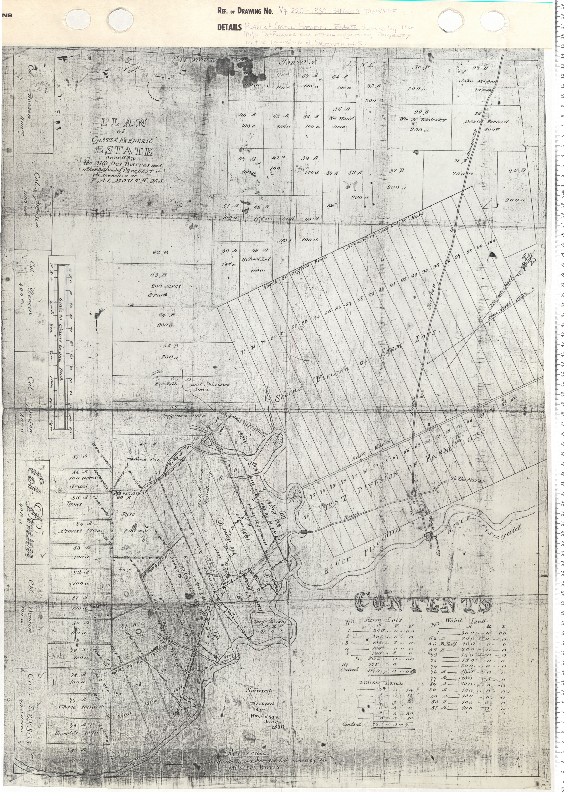
Plan of Castle Frederick Estate - owned by Messrs DesBarres and other adjoining Property in the Township of Falmouth, N.S.
Date: 1830
Reference: Nova Scotia Archives Map Collection: V7 220 Falmouth Township, Nova Scotia
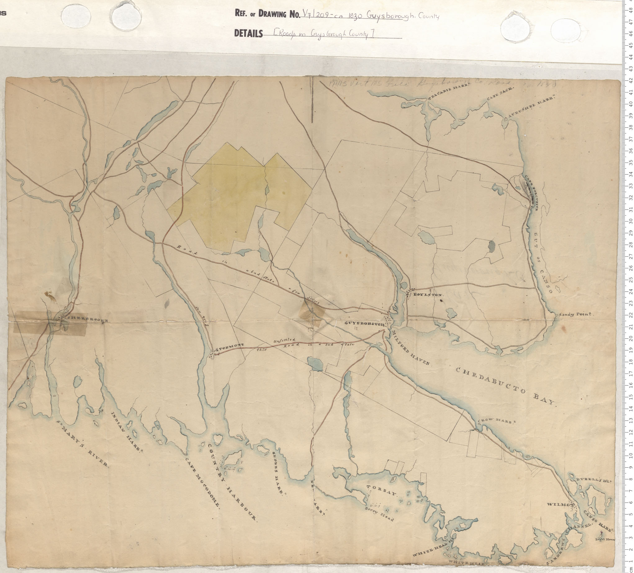
Roads in Guysborough County
Date: 1830
Reference: Nova Scotia Archives Map Collection: V7 209 Guysborough County, Nova Scotia
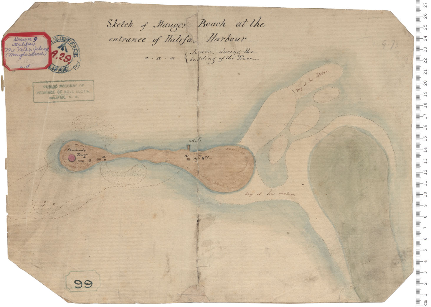
McNab's Island - Maugher's Beach
Date: 1830
Reference: Nova Scotia Archives Royal Engineers Maps and Plans A.29
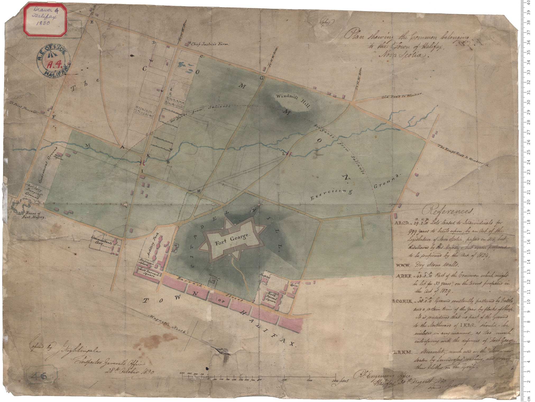
Halifax - Commons
Date: 30 August 1830
Reference: Nova Scotia Archives Royal Engineers Maps and Plans A.04
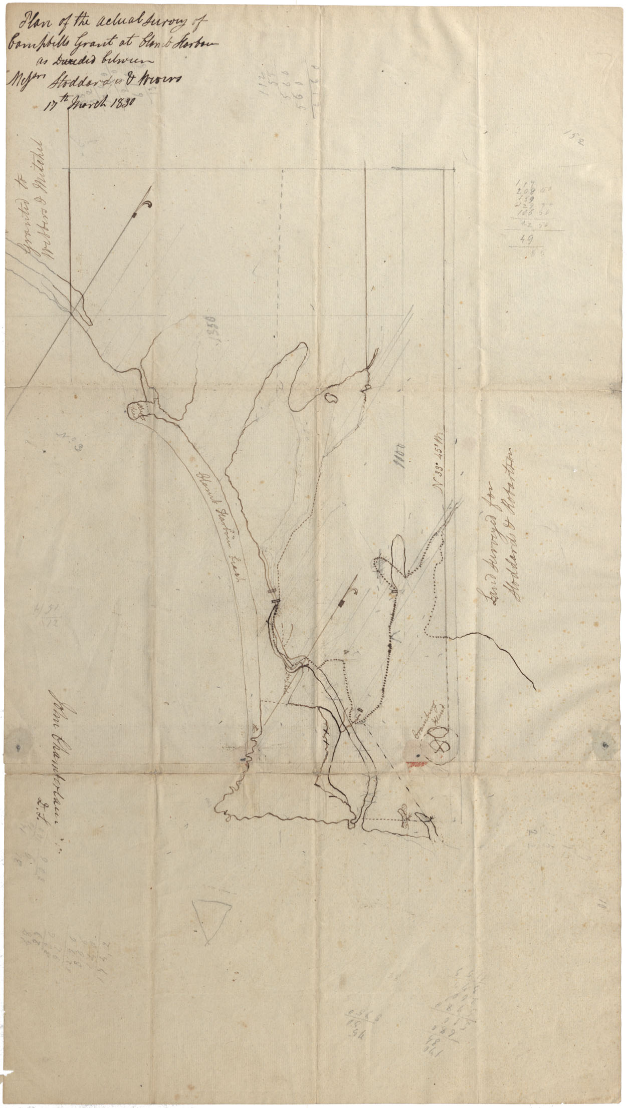
Halifax County Clam Harbour 1830
Date: 17 March 1830
Reference: Nova Scotia Archives Map Collection: F/210 - 1830
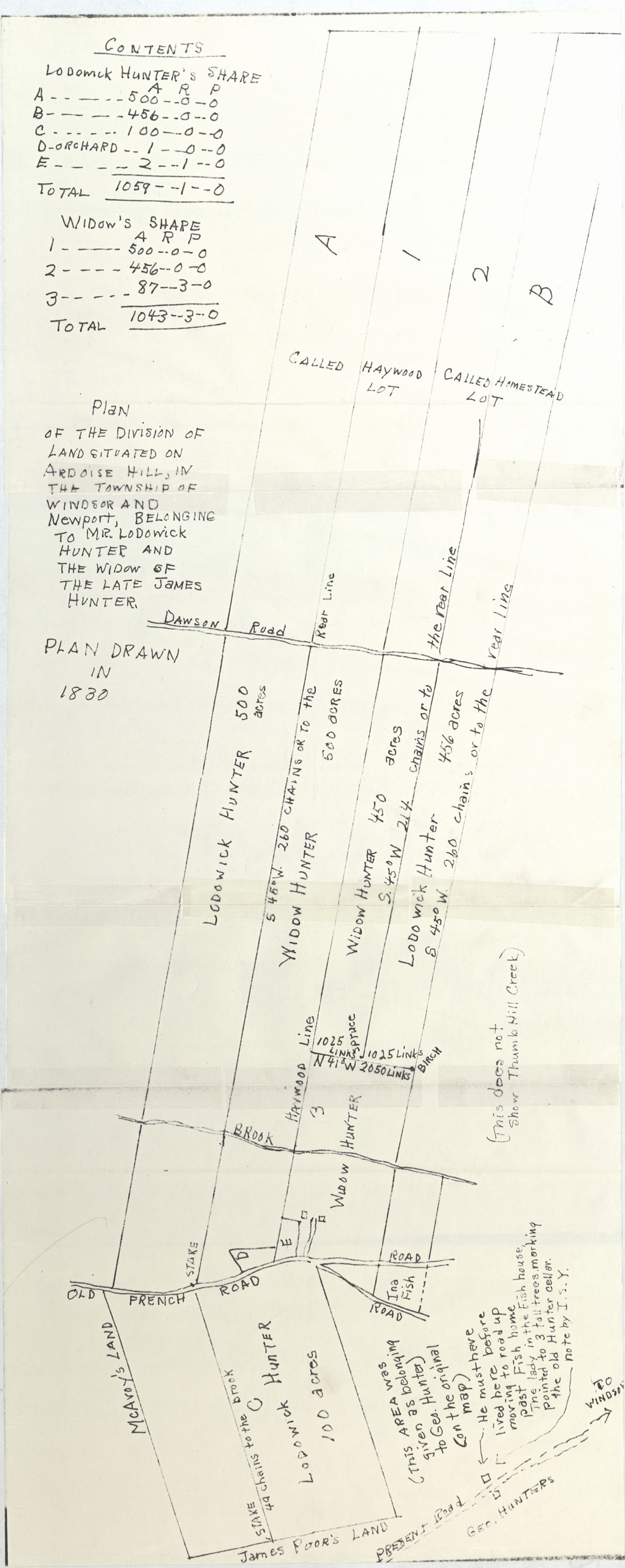
Plan of the Division of Land Situated on Ardoise Hill, in Township of Windsor and Newport
Date: 1830
Reference: Nova Scotia Archives Map Collection: F/230 - 1830
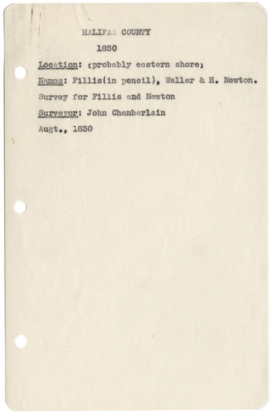
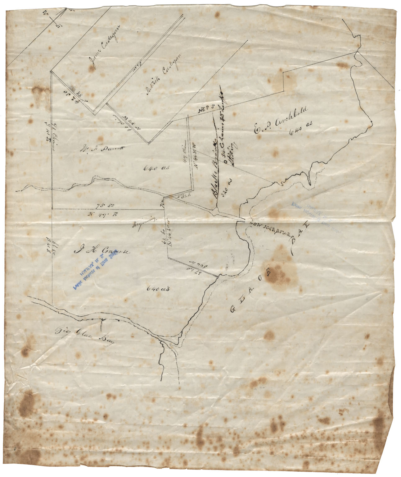
Halifax County (Probably Eastern Shore)
Date: August 1830
Reference: Nova Scotia Archives Map Collection: F/230 - 1830
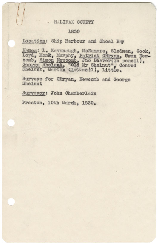
Halifax County Ship Harbour & Shoal Bay 1830
Date: 10 March 1830
Reference: Nova Scotia Archives Map Collection: F/230 - 1830
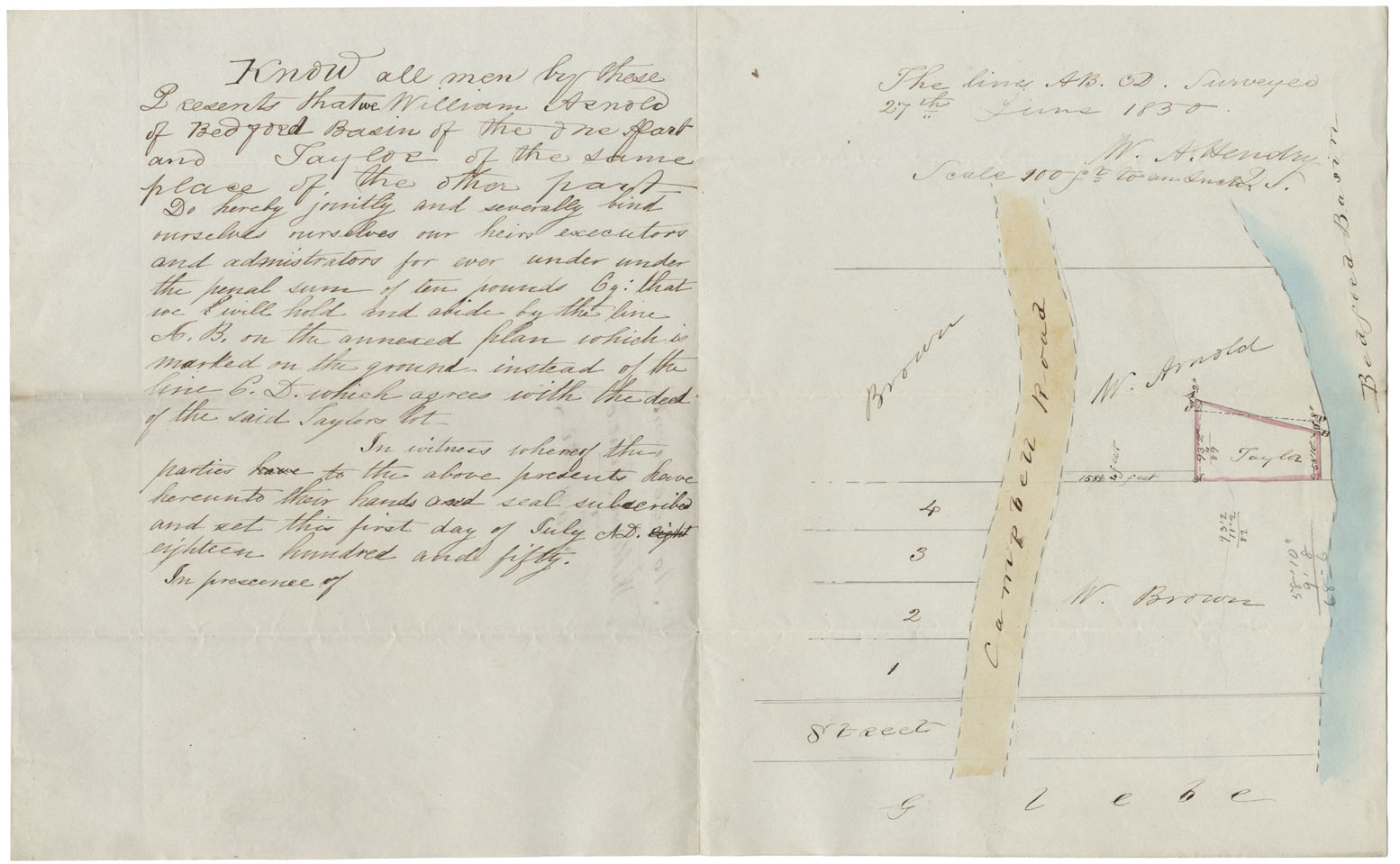
Agreement William Arnold Taylor Campbell Raod, Bedford
Date: 27 June 1830
Reference: Nova Scotia Archives Map Collection: F/239 - 1830
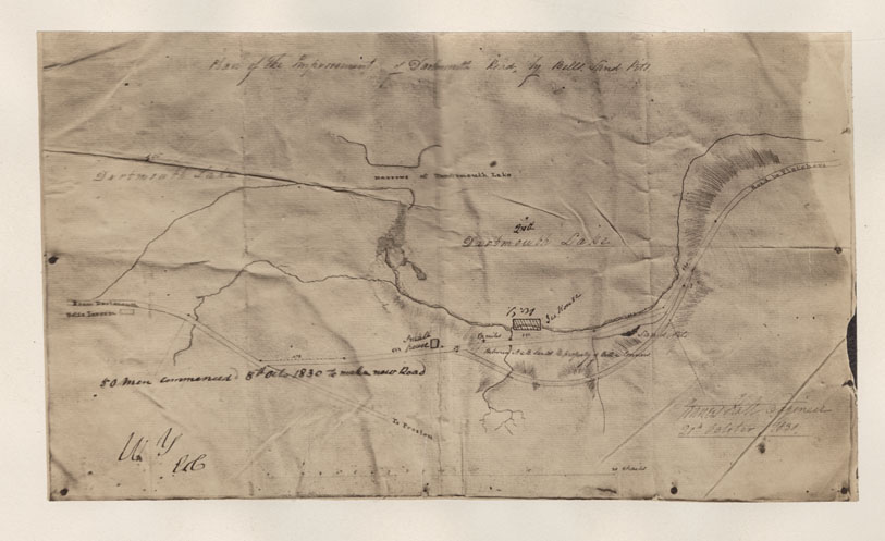
Plan of the Improvement of Dartmouth Road by Bells Sand Pit
Date: 20 October 1830
Reference: Nova Scotia Archives Map Collection: F/239 - 1830
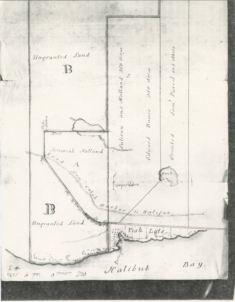
Petition & Plan. Inhabitants Portuguese Cove for Reservation of Common
Date: 1830
Reference: Nova Scotia Archives Map Collection: F/239 - 1830
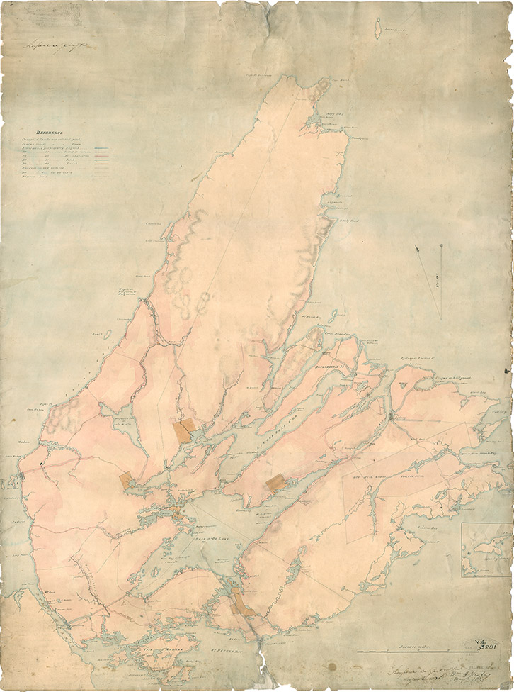
Map of Cape Breton, 1831
Date: 1831
Reference: Nova Scotia Archives Map Collection: F/201 - Cape Breton 1831
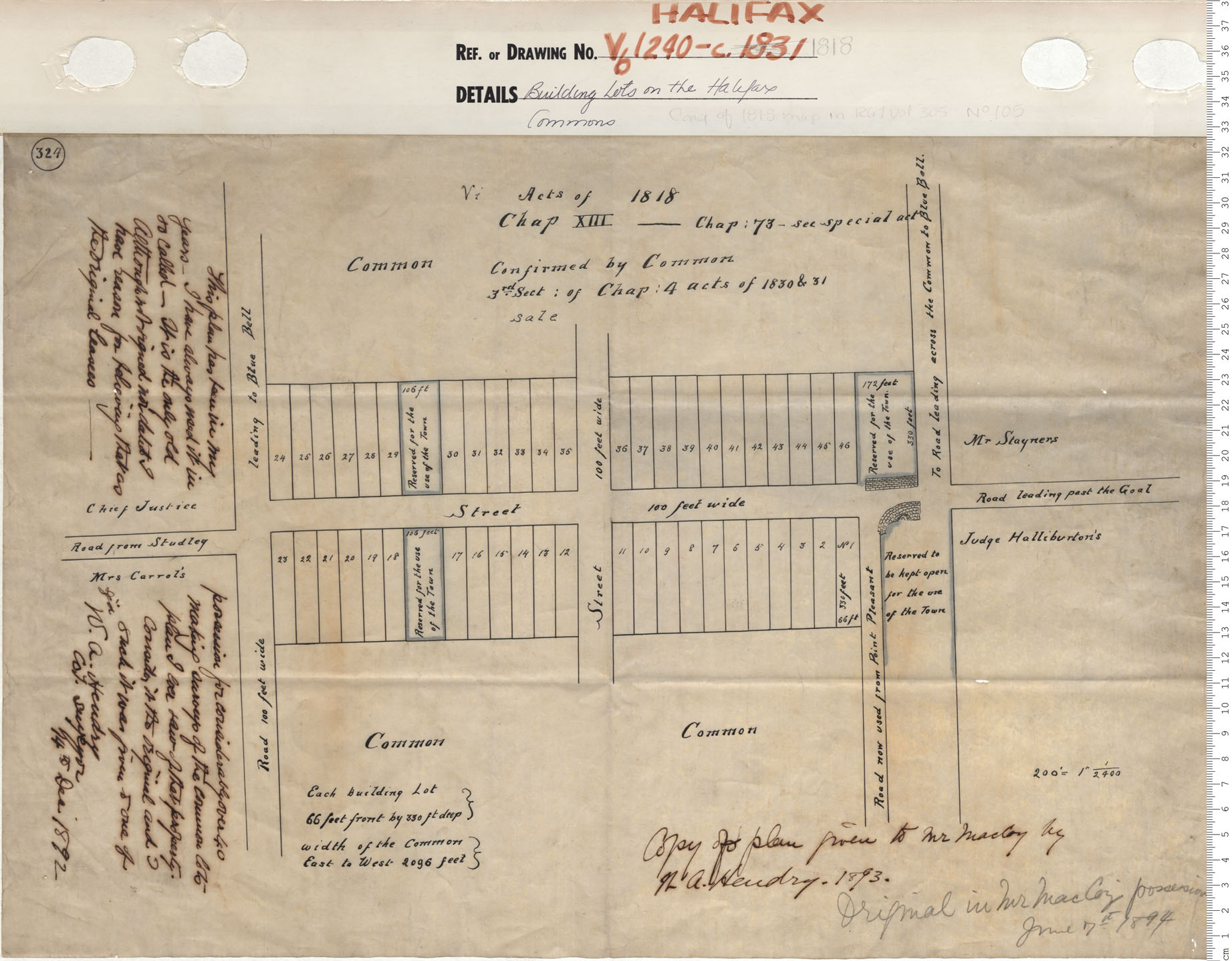
Building Lots on the Halifax Commons
Date: 1831
Reference: Nova Scotia Archives Map Collection: V6 240 Halifax, Nova Scotia
