Nova Scotia Archives
Historical Maps of Nova Scotia
Results 436 to 450 of 2074 from your search:
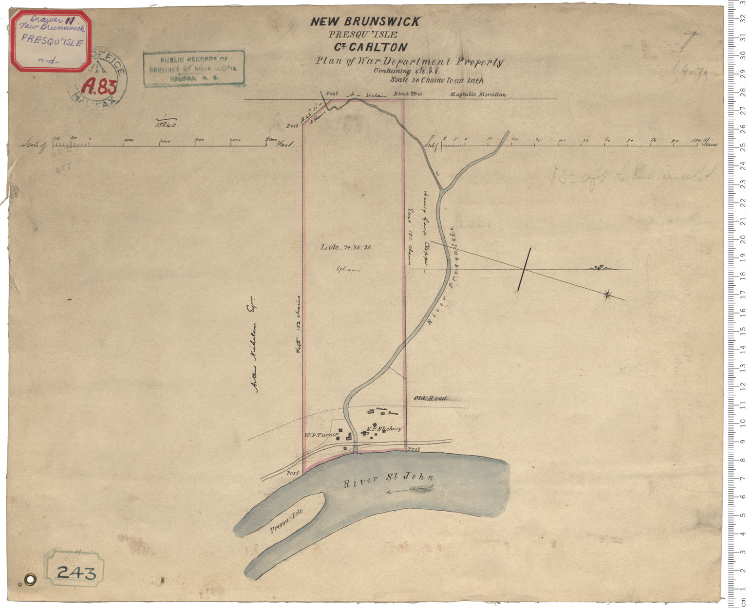
War Department Property - Presqu'Isle
Date:
Reference: Nova Scotia Archives Royal Engineers Maps and Plans A.83
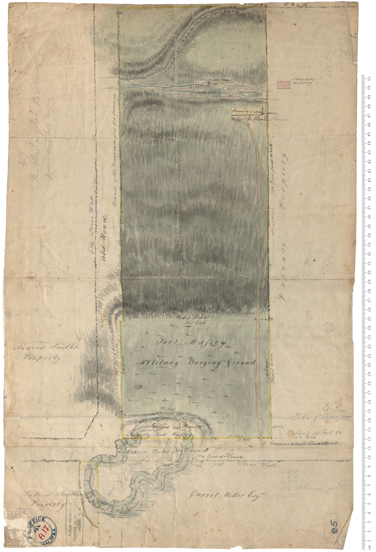
Fort Massey - Military Burying Ground
Date: 25 June 1828
Reference: Nova Scotia Archives Royal Engineers Maps and Plans A.17
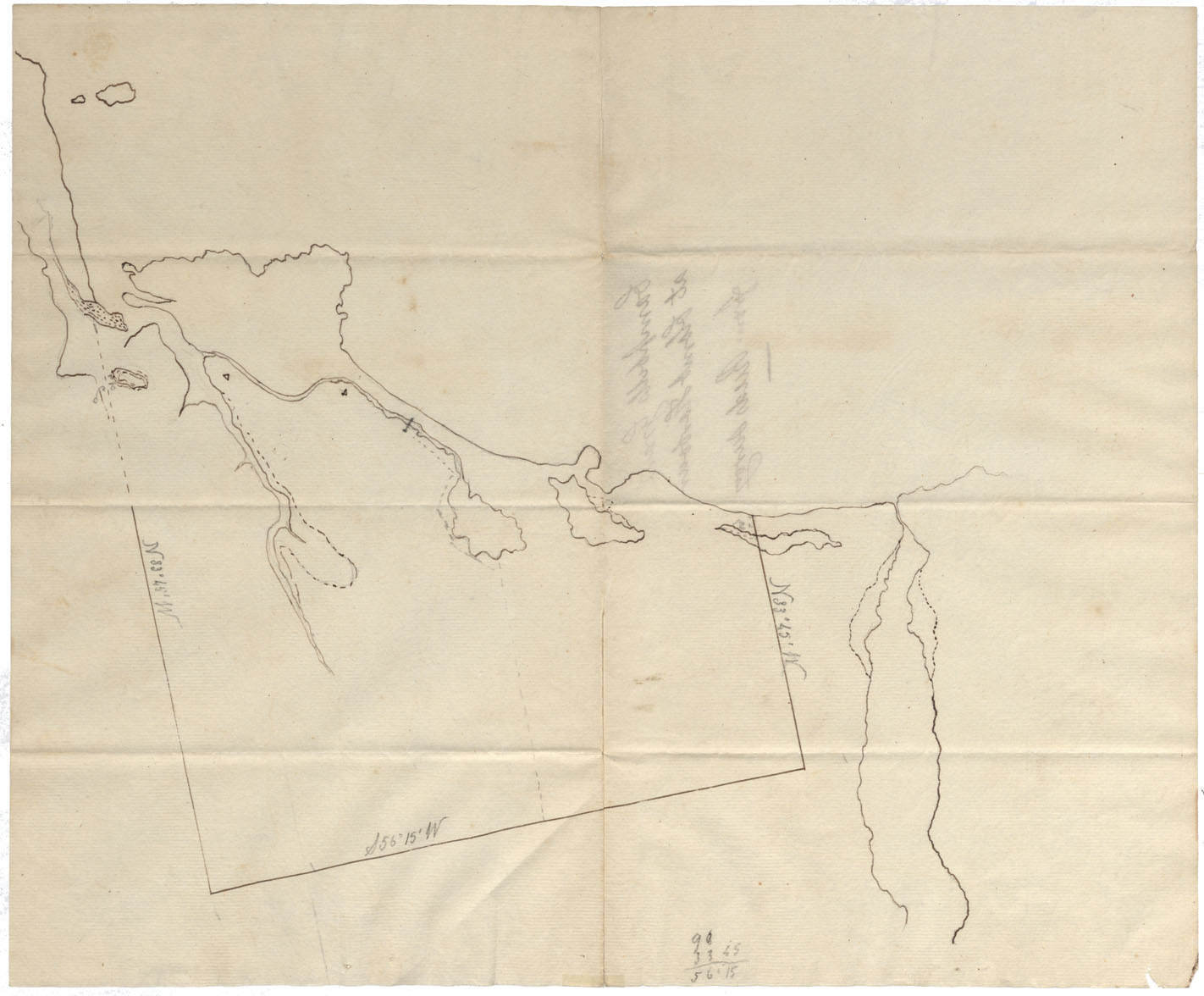
Halifax County Clam Harbour w.m. 1828
Date: 1828
Reference: Nova Scotia Archives Map Collection: F/210 - 1828
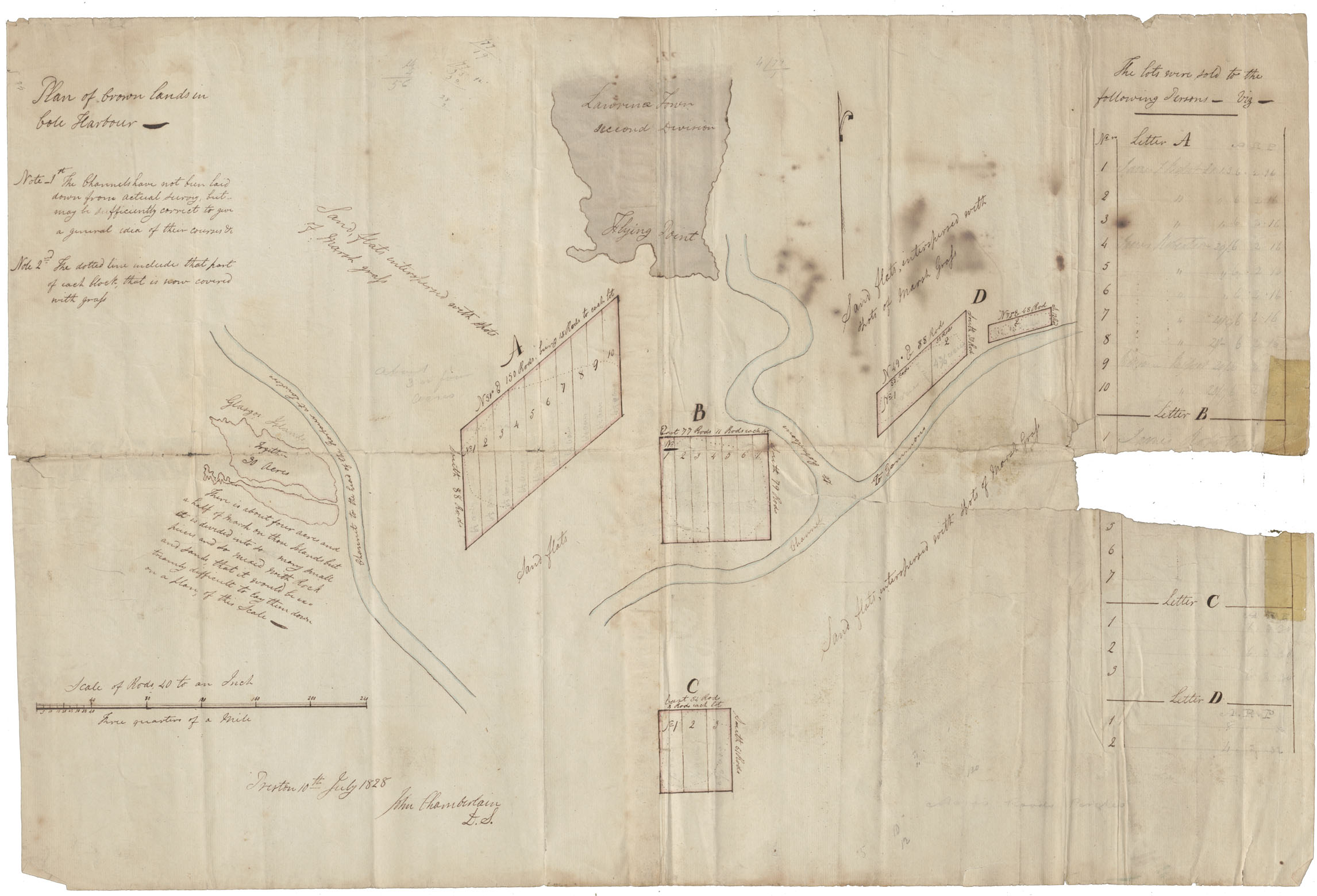
Halifax County Marsh Lots at Cole Harbour
Date: 10 July 1828
Reference: Nova Scotia Archives Map Collection: F/239 - 1828
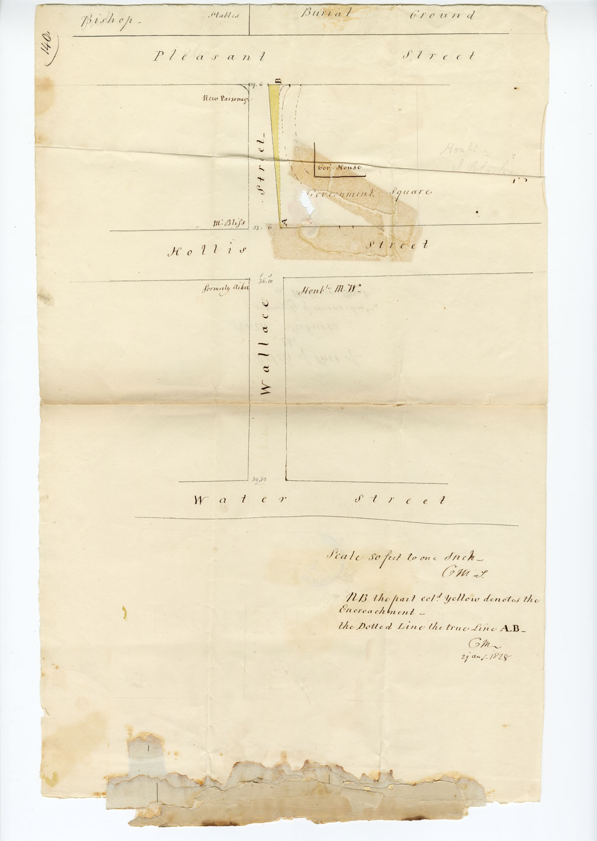
Sketch of Part of the South Suburbs representing encroachment on Wallace (Bishop) St
Date: 29 August 1828
Reference: Nova Scotia Archives Map Collection: F/240 - 1828
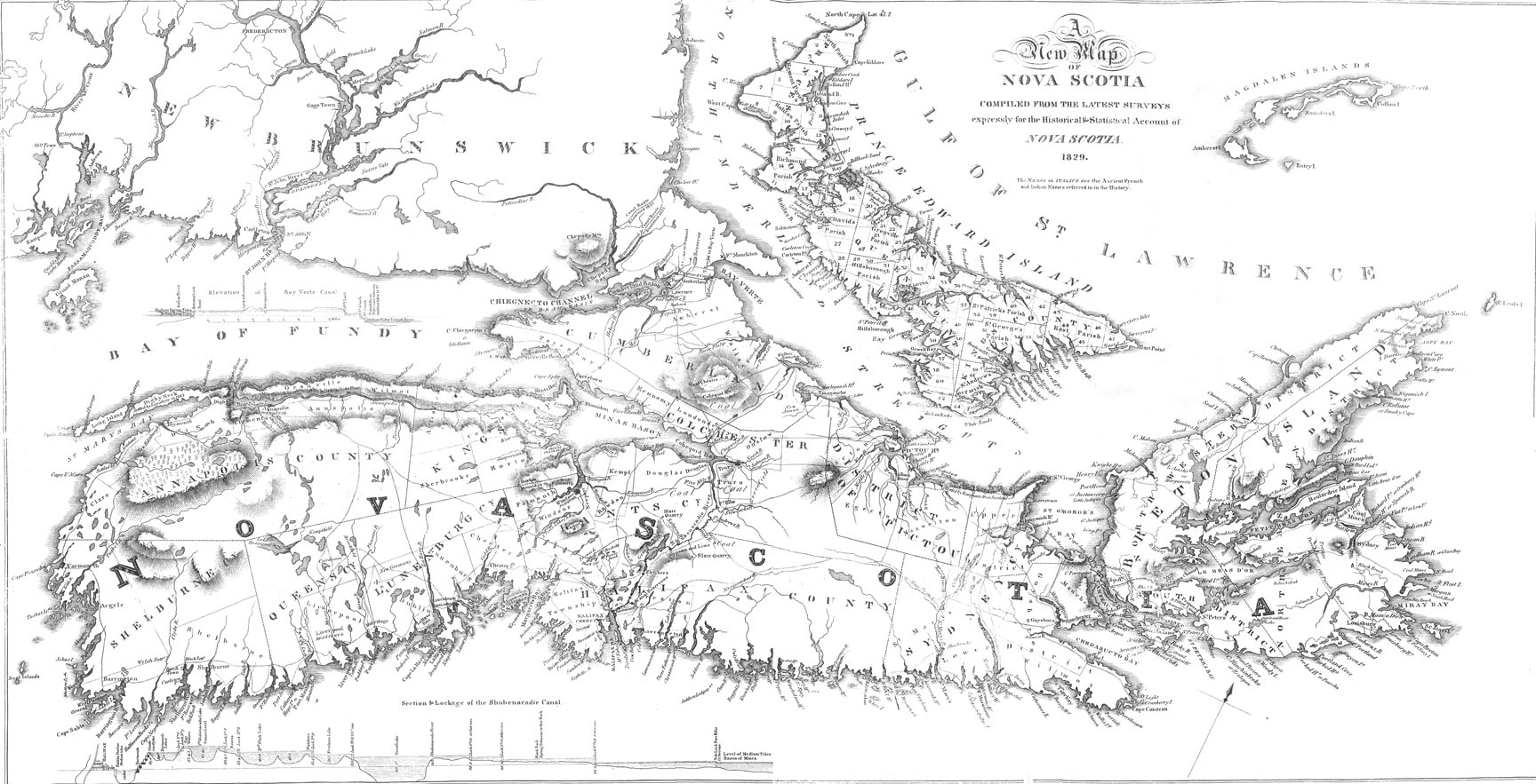
"A New Map of Nova Scotia, compiled...for the Historical & Statistical Account of Nova Scotia"
Date: 1829
Reference: Nova Scotia Archives Map Collection
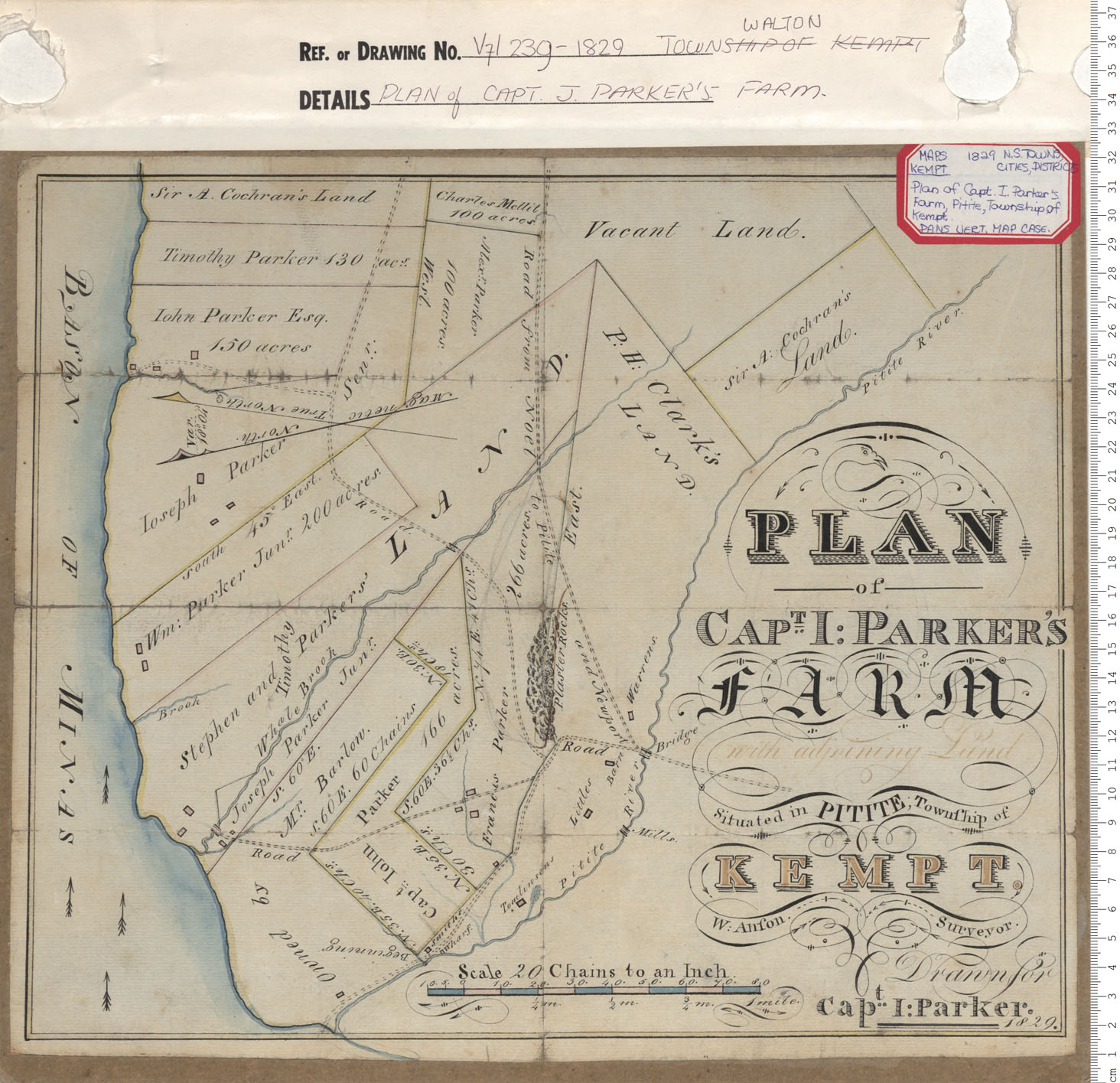
Plan of Capt. J. Parker's Farm
Date: 1829
Reference: Nova Scotia Archives Map Collection: V7 239 Town of Walton, Nova Scotia
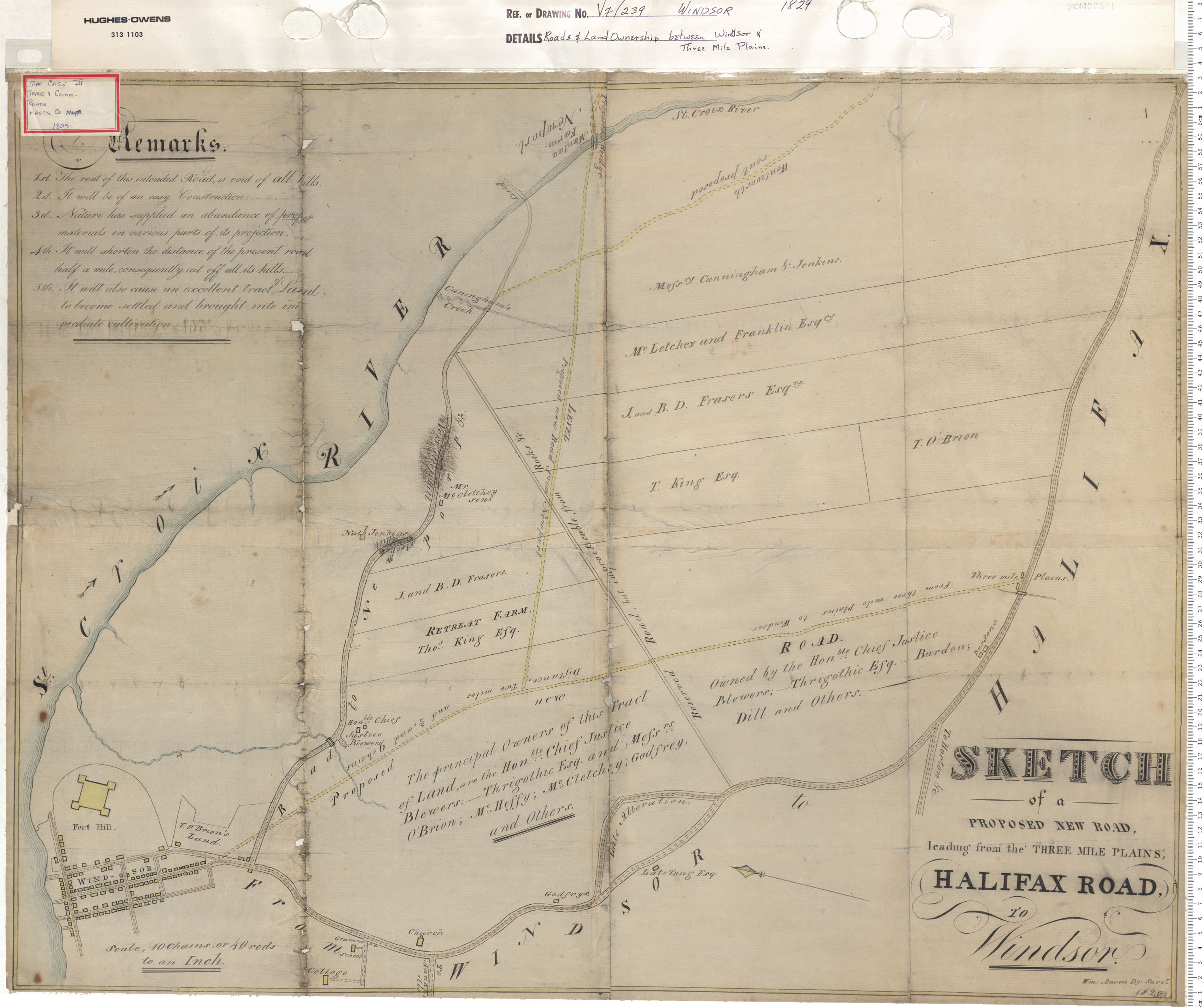
Roads and Land Ownership between Windsor and Three Mile Plains
Date: 1829
Reference: Nova Scotia Archives Map Collection: V7 239 Windsor, Nova Scotia
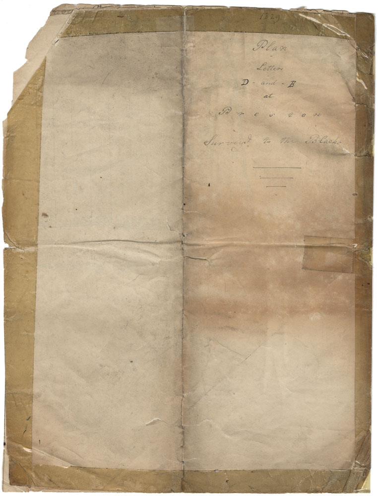
Plan - Letters D and E at Preston. Surveyed to the Blacks
Date: 1829
Reference: Nova Scotia Archives Map Collection: F/230 - 1829 African Nova Scotians
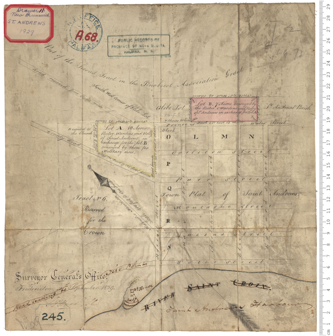
Town of Saint Andrews, New Brunswick
Date: 19 September 1829
Reference: Nova Scotia Archives Royal Engineers Maps and Plans A.68
Sketch proposed Road from Bras d'Or Lake to Lakes at the Head of Grande Riviere, Richmond County
Date: 1829
Reference: Nova Scotia Archives Map Collection: F/209 - 1829
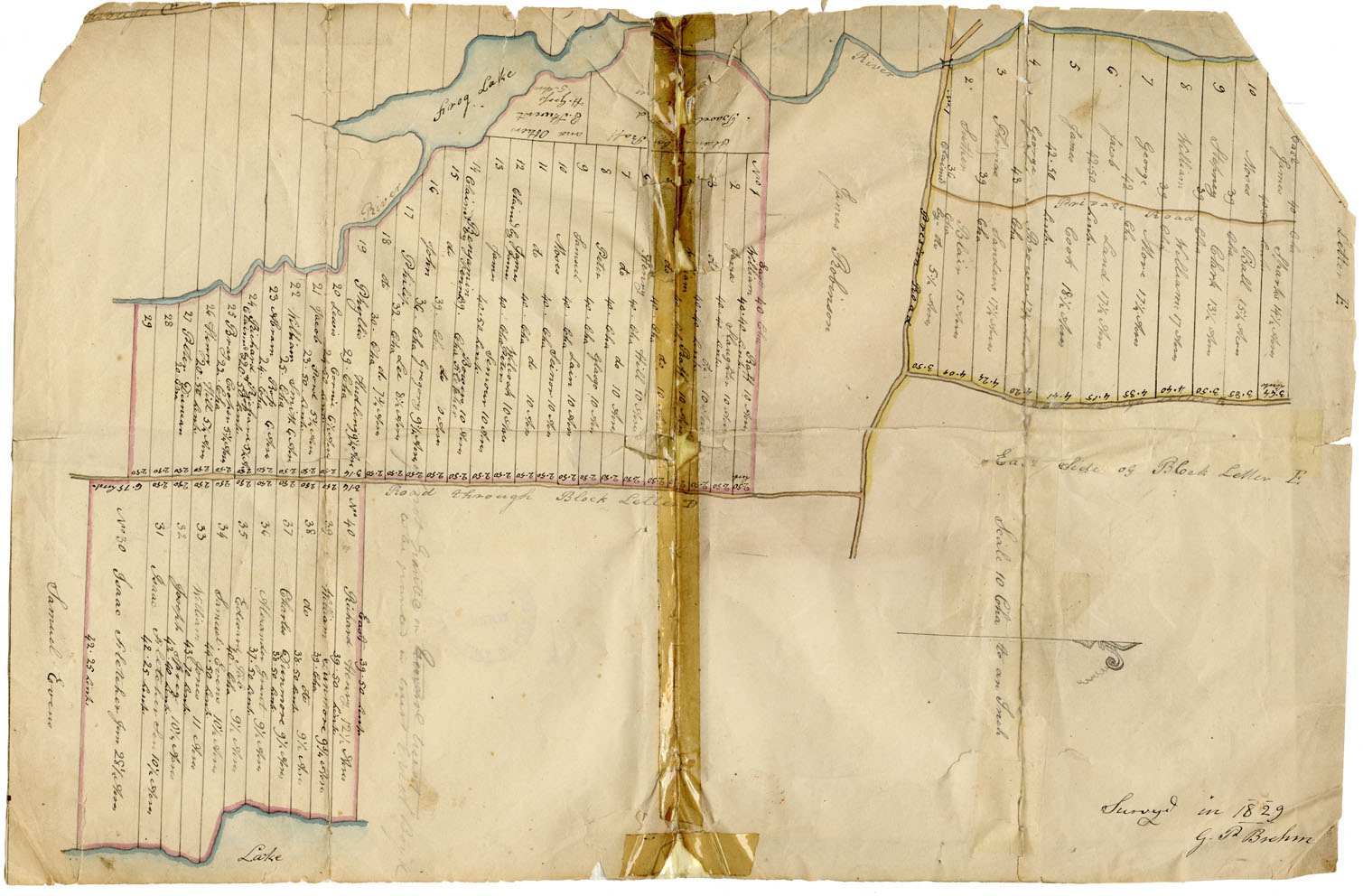
Preston Township Plan Letters D-and E at Preston
Date: 1829
Reference: Nova Scotia Archives Map Collection: F/230
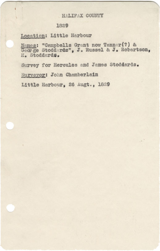
Halifax County Little Harbour
Date: 26 August 1829
Reference: Nova Scotia Archives Map Collection: F/239 - 1829
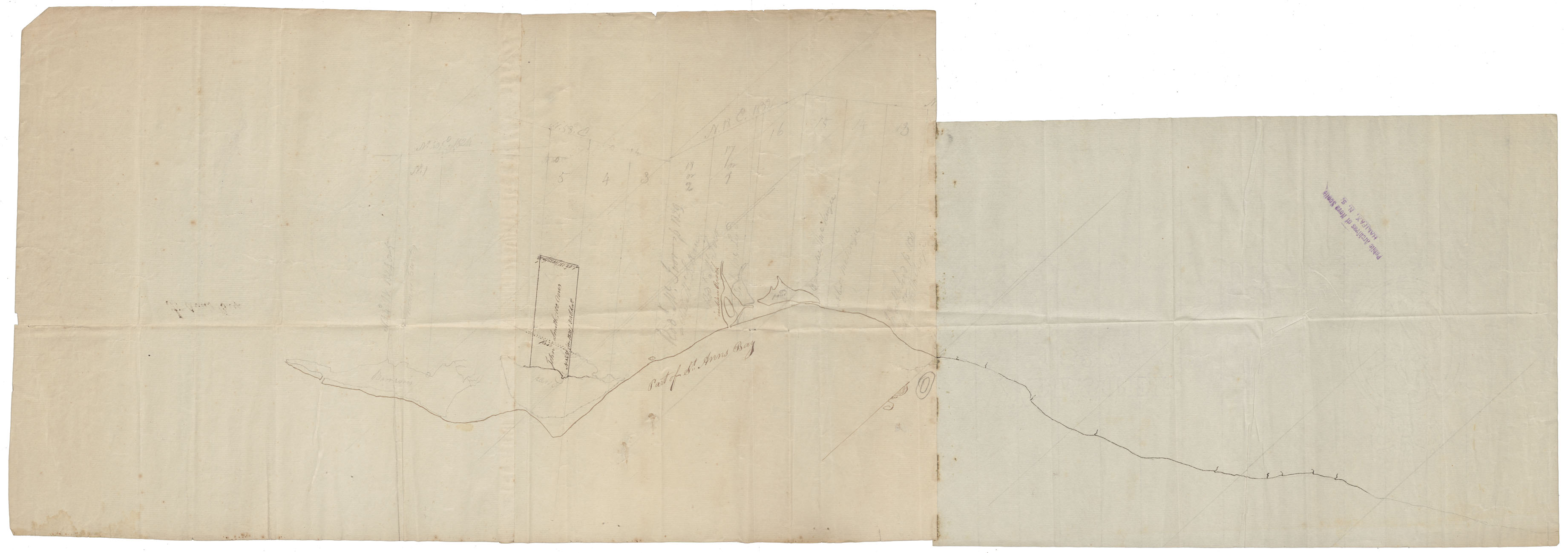
Cape Breton St Ann's Bay w.m.1829
Date: 1829
Reference: Nova Scotia Archives Map Collection: F/240 - 1829
