Nova Scotia Archives
Historical Maps of Nova Scotia
Results 376 to 390 of 2074 from your search:
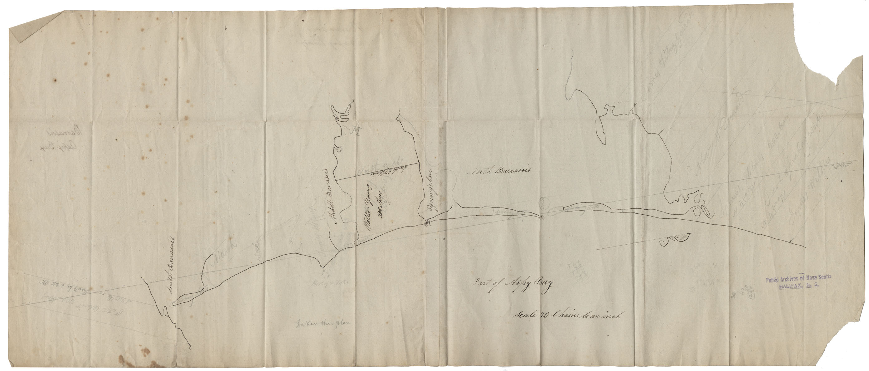
Cape Breton Barrasors, Aspy bay w.m.1819
Date: 1819
Reference: Nova Scotia Archives Map Collection: F/239 - 1819
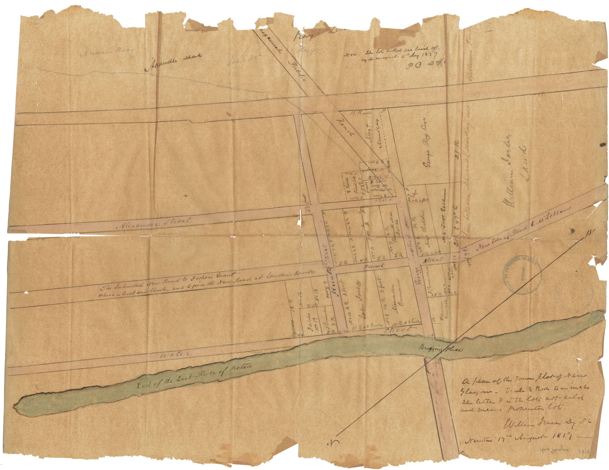
A Plan of the Town Plot of New Glasgow
Date: 19 August 1819
Reference: Nova Scotia Archives Map Collection: F/239 - 1819
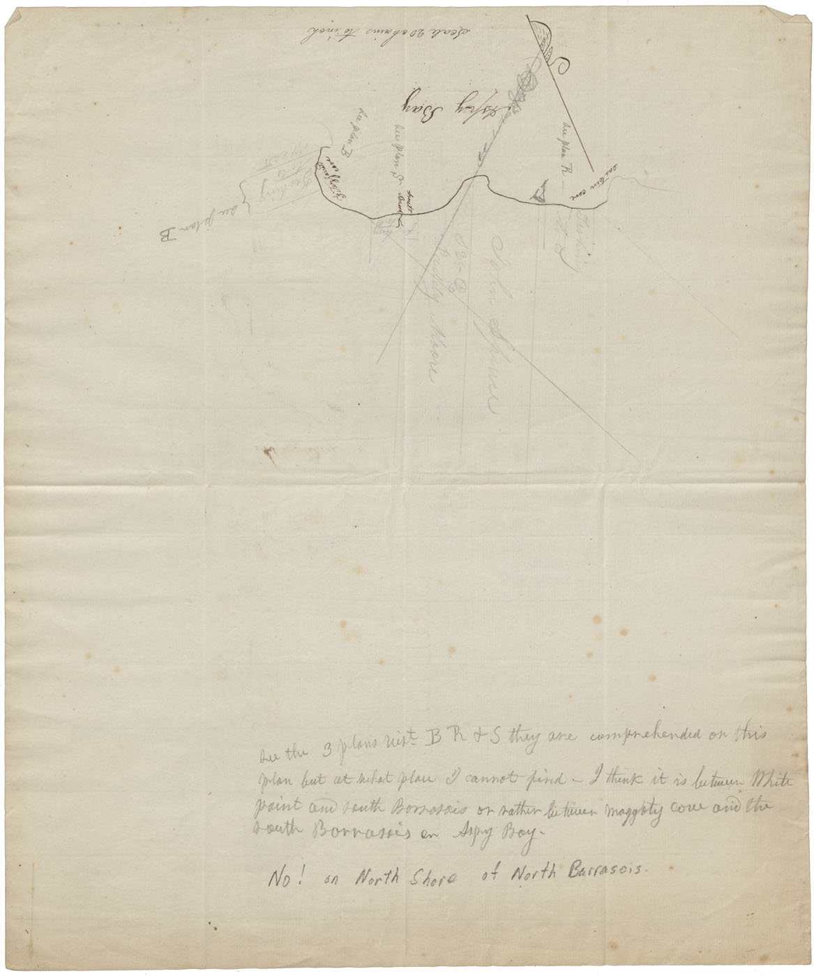
Cape Breton Aspy bay w.m.1819
Date: 1819
Reference: Nova Scotia Archives Map Collection: F/240 - 1819
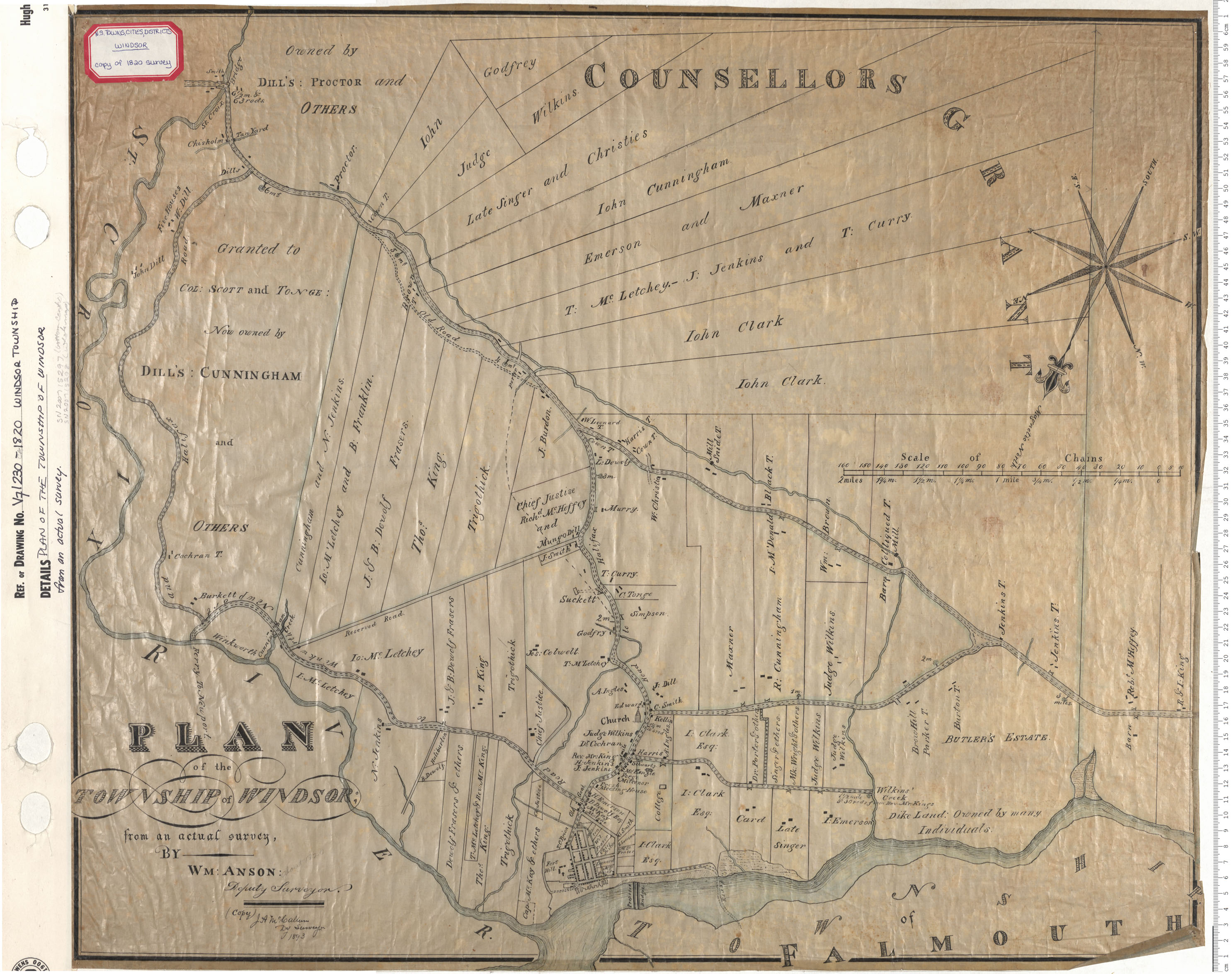
Plan of the Town of Windsor from Actual Survey
Date: 1820
Reference: Nova Scotia Archives Map Collection: V7 230 Windsor, Nova Scotia
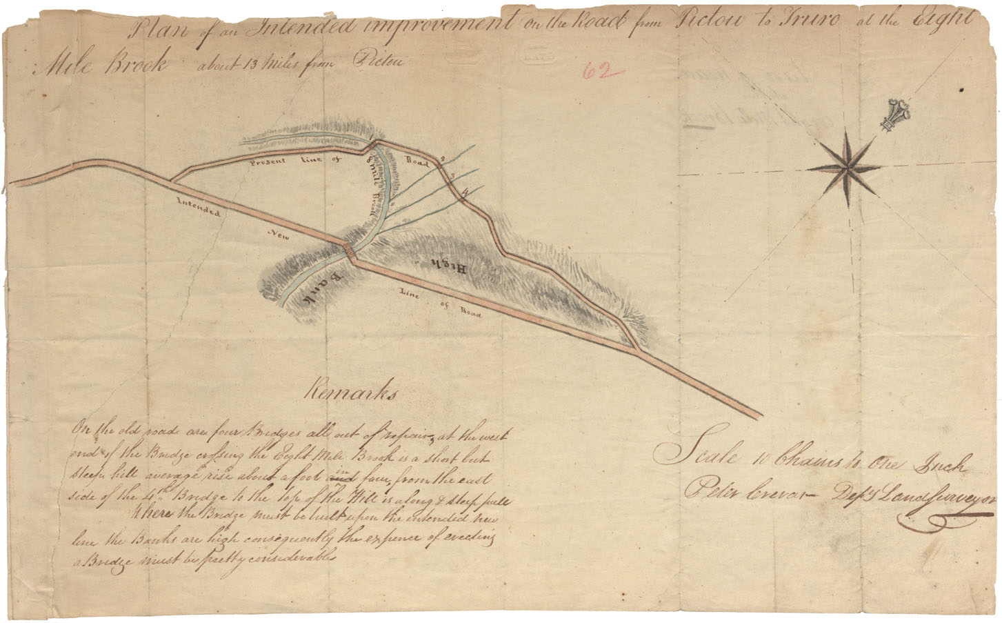
Plan of an intended improvement on the Road Pictou to Truro at the Eight Mile Brook about thirteen miles from Pictou
Date: 1820
Reference: Nova Scotia Archives Map Collection: F/209 - 1820
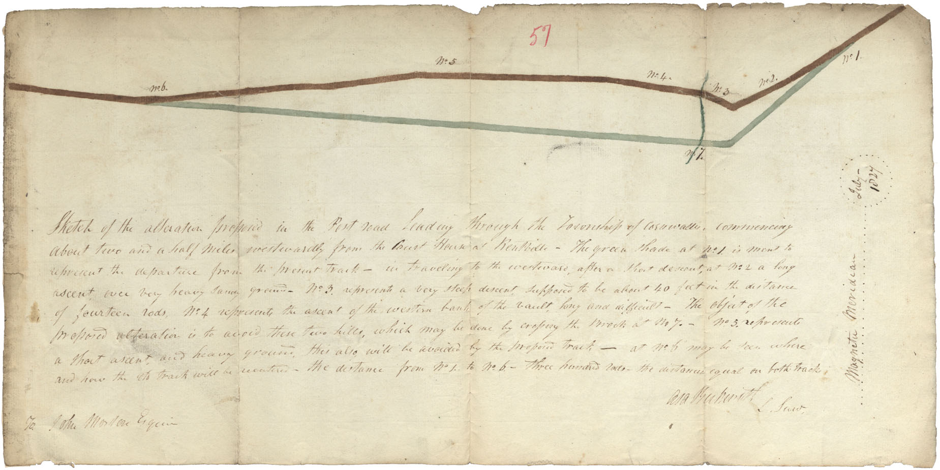
Sketch of the alterations proposed in the post road leading through the township of Cornwallis commencing about 21/2 miles westwardly from the court house in Kentville
Date: 1820
Reference: Nova Scotia Archives Map Collection: F/209 - 1827
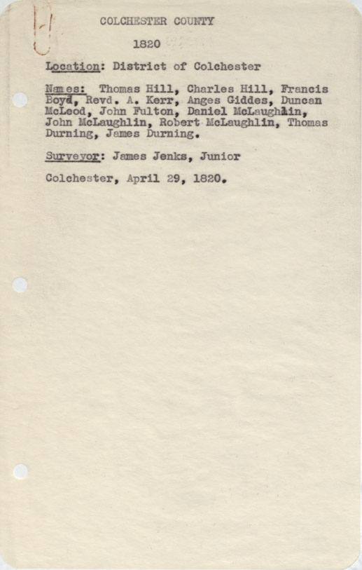
Colchester County District of Colchester, 1820
Date: 29 April 1820
Reference: Nova Scotia Archives Map Collection: F/230 - 1820
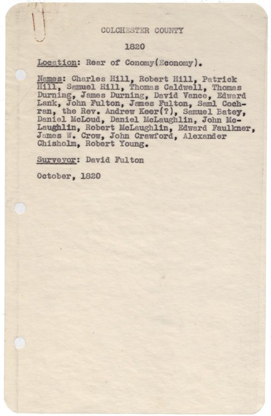
Colchester County Rear of Conomy (Economy) 1820
Date: October 1820
Reference: Nova Scotia Archives Map Collection: F/230 - 1820
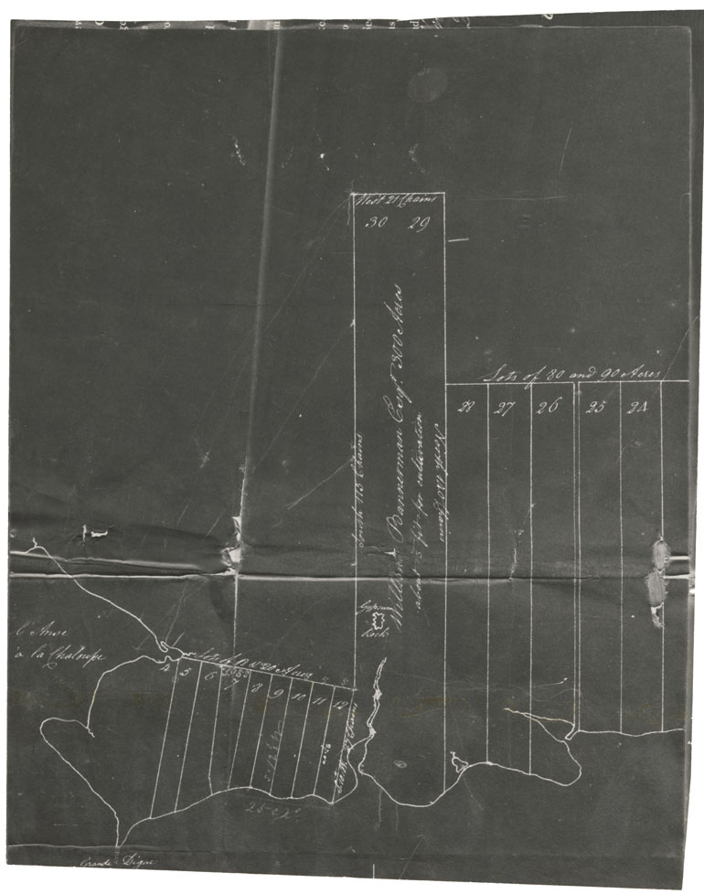
[Grant of Land to William Bannerman at Lennox, Richmond County. 1820]
Date: 1820
Reference: Nova Scotia Archives Map Collection: F/230 - 1820
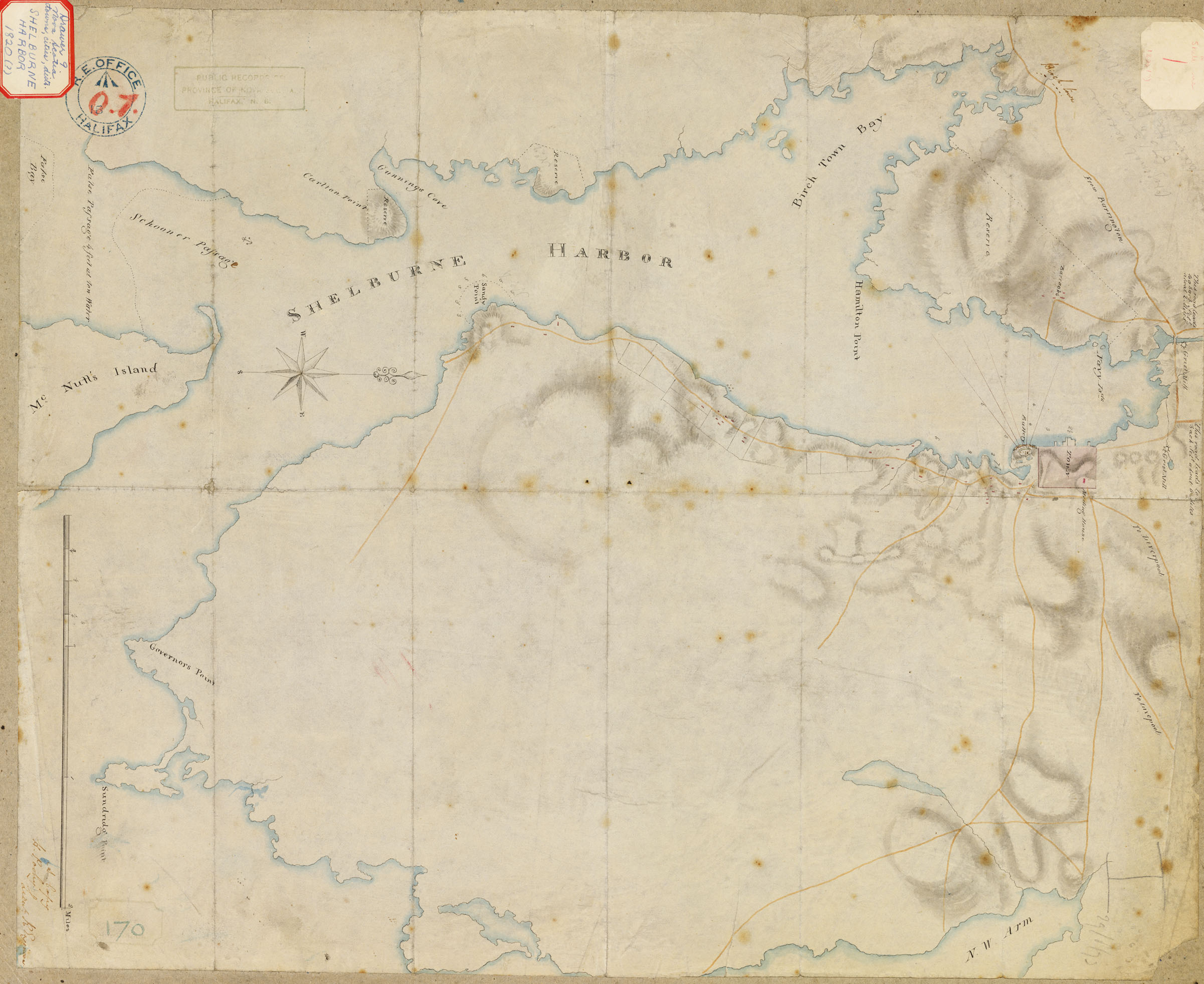
Shelburne Harbour
Date: 1820
Reference: Nova Scotia Archives Royal Engineers Map Collection: F/239 - 1820 V7 239 Shelburne, Nova Scotia
Clements TP. Lands Granted to Capt. Christopher Benson and others
Date: 1821
Reference: Nova Scotia Archives Map Collection: F/230 - 1821
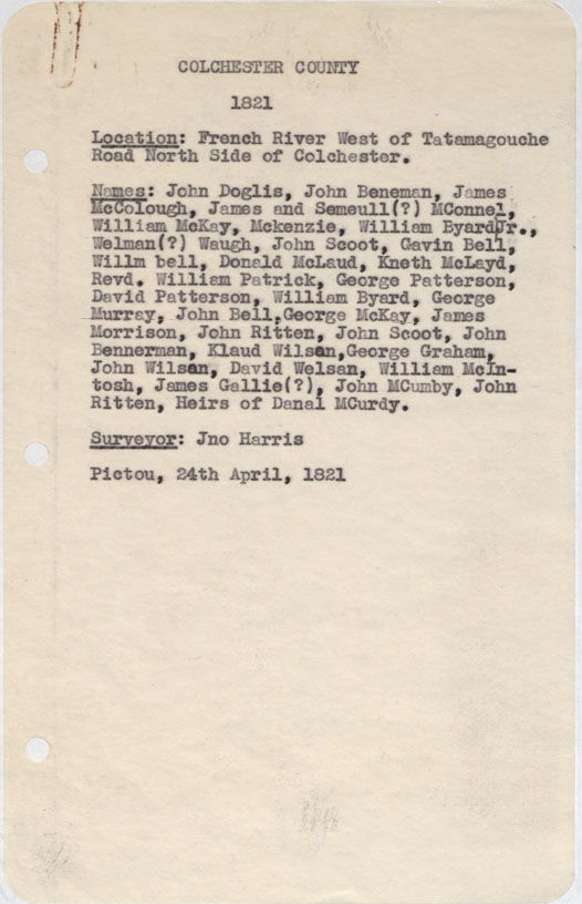
Colchester County French River west of Tatamagouche Road north side of Colchester 1821
Date: 24 April 1821
Reference: Nova Scotia Archives Map Collection: F/230 - 1821
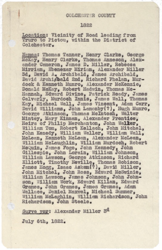
Colchester County Vicinity of Rd leading from truro to pictou within the District of Colchester 1822
Date: 6 July 1822
Reference: Nova Scotia Archives Map Collection: F/230 - 1822
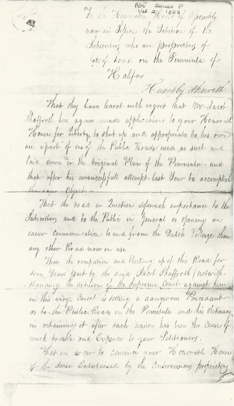
Petition of John Merkel & others Lands at Richgmond Halifax
Date: March 1822
Reference: Nova Scotia Archives Map Collection: F/240 - 1822
