Nova Scotia Archives
Historical Maps of Nova Scotia
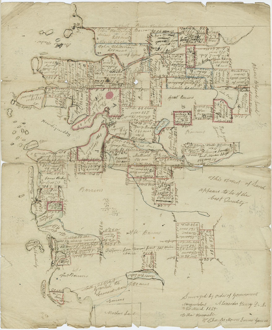
"Coppy [sic] of the Plan of Land Survey to Sundry Person on Esteheated [Escheated] Land Late Hales Grant"
Researchers should peruse the RG 20, Series “C” inventory for miscellaneous crown lands documents, listed by county.
This plan surveyed by Alexander Henry, D.S., shows the various land grants given at Salmon River [Port Dufferin] and at Newdy Quoddy and identifies the location of houses in these communities.
Date: 2 March 1827
Reference: Department of Lands and Forests Nova Scotia Archives RG 20 Series C vol. 88 no. 180

