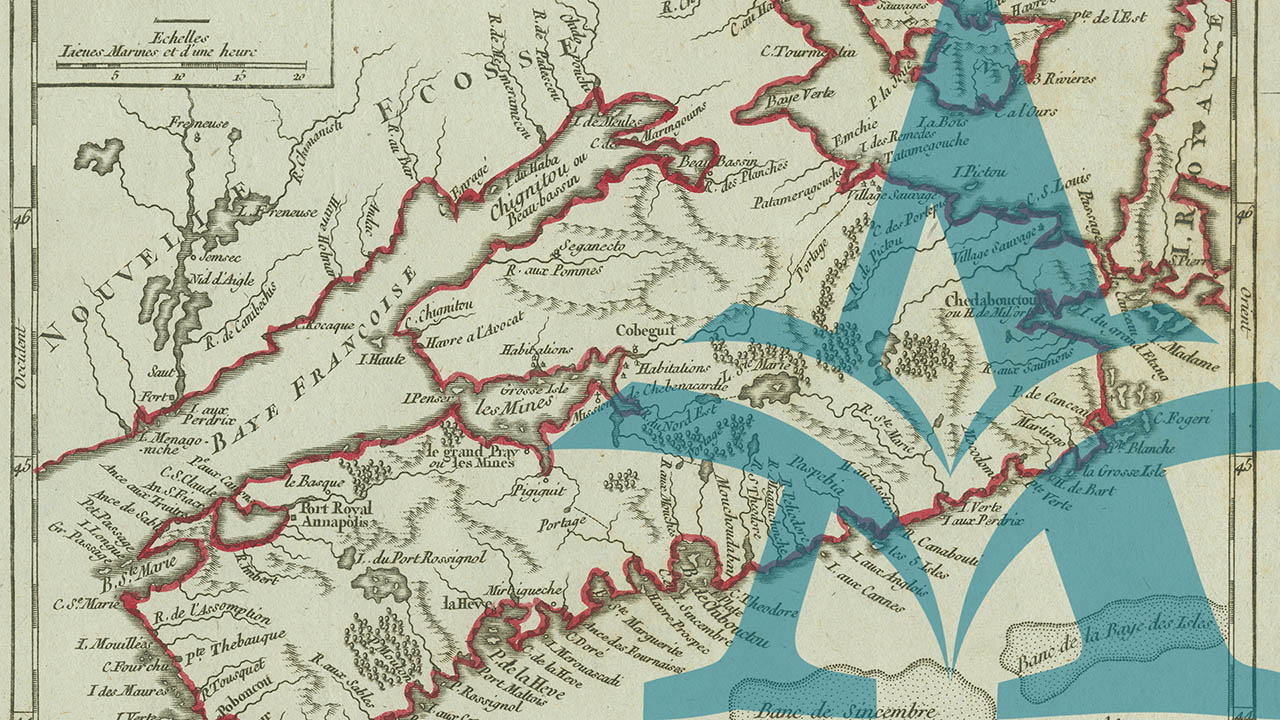
Nova Scotia Archives’ map collection is extensive and frequently referenced. To facilitate easier access to these essential resources we regularly digitize the materials and make them available online.
- All the single map items featured elsewhere within this website have been duplicated and brought together here in one exhibit, arranged chronologically by the date of creation for each
- Google map of Nova Scotia
- Outline map of Nova Scotia, identifying and explaining the 18 counties and their boundaries
- Woolford's Surveys: The Roads from Halifax to Windsor and Truro, 1817-18
- City Atlas of Halifax, Nova Scotia. From Actual Surveys and Records by and under the supervision of H.W. Hopkins, civil engineer. Provincial Survey and Pub. Co. G. B. Vandervoort Manager. 1878.
- "The Great Map", published in 1834 by William MacKay, is important as the first printed map to present the entire interior of Nova Scotia, Compiled from Actual and Recent Surveys. It was a great effort then in size and scope, but unfortunately its greatness was neither achieved by the mapmaker himself, nor by the subsequent history of the product, which nevertheless remains a remarkable accomplishment for its time.
- Maps and Plans of the Royal Engineers
- Nova Scotia Archives Maps Collection:
previous
