Nova Scotia Archives
Historical Maps of Nova Scotia
Results 1 to 15 of 827 from your search: 1900
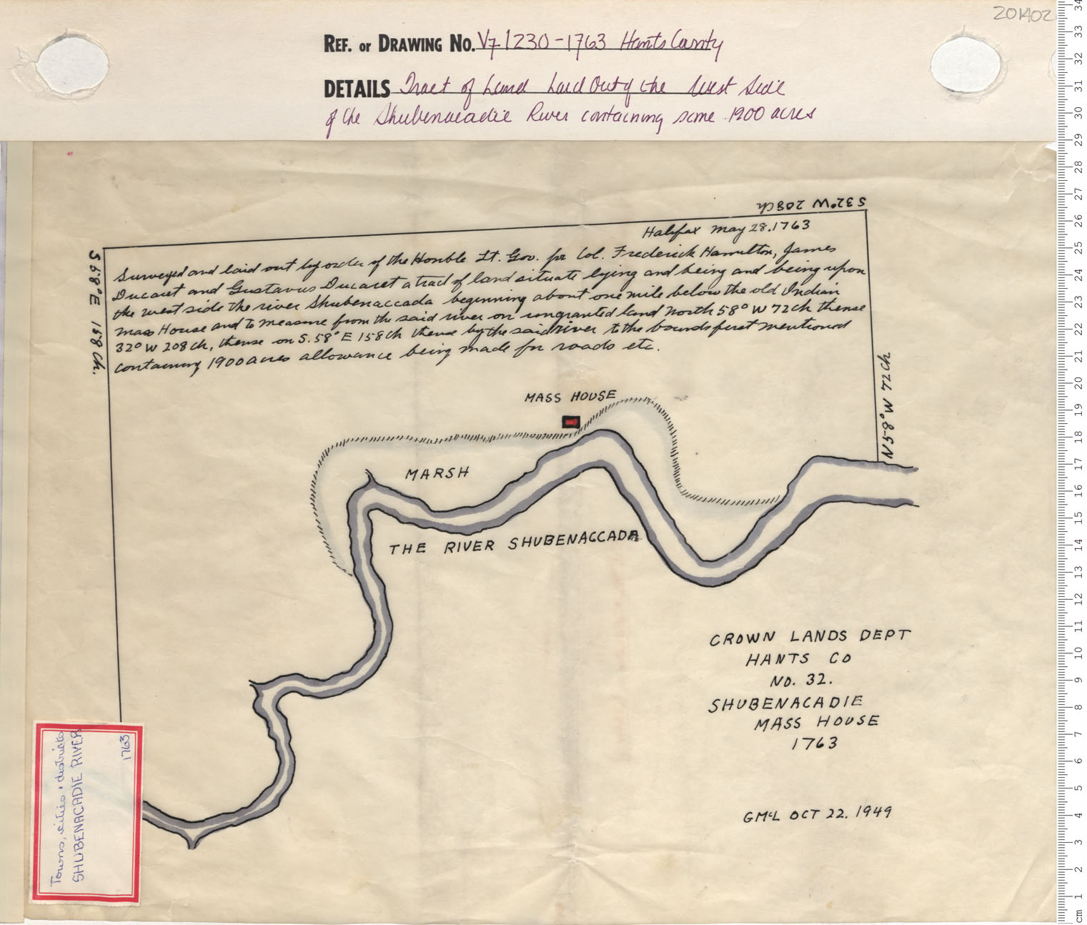
Tract of Land Laid Out of the West Side Of the Shubenacadie River containing some 1900 acres
Date: 1763
Reference: Nova Scotia Archives Map Collection: V7 230 Hants County, Nova Scotia
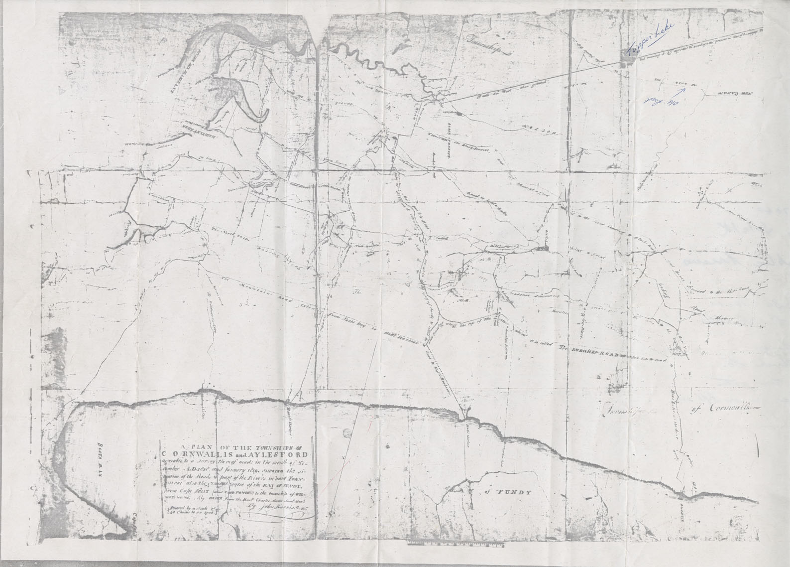
Cornwallis Township A Plan of the Townships of Cornwallis and Aylesford
Date: December 1818
Reference: Nova Scotia Archives Map Collection: F/230 - 1818/19
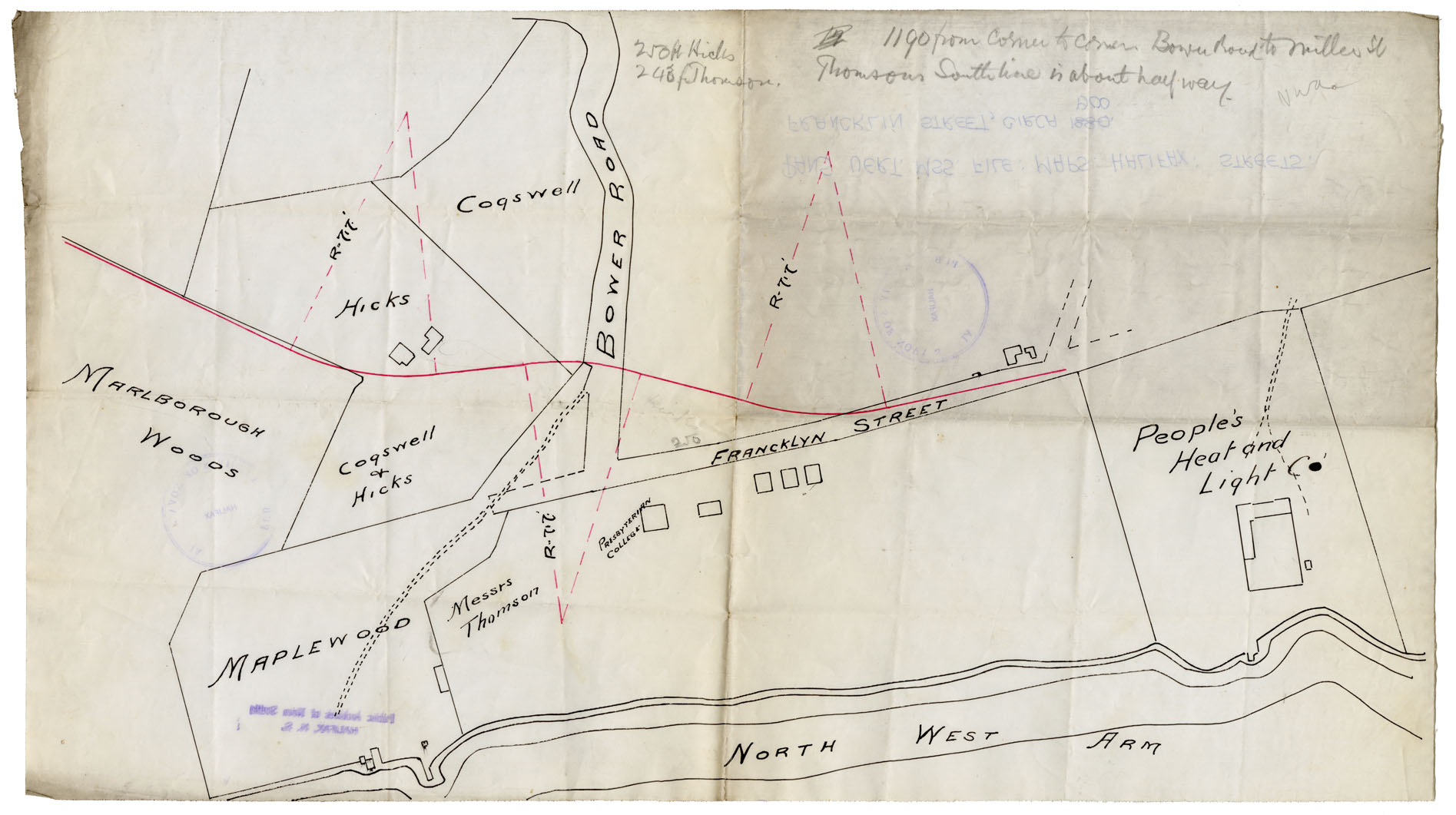
Maps: Halifax, N.D., circa 1900 Streets: Francklin Street
Date: 1880
Reference: Nova Scotia Archives Map Collection: F/240 - 1880
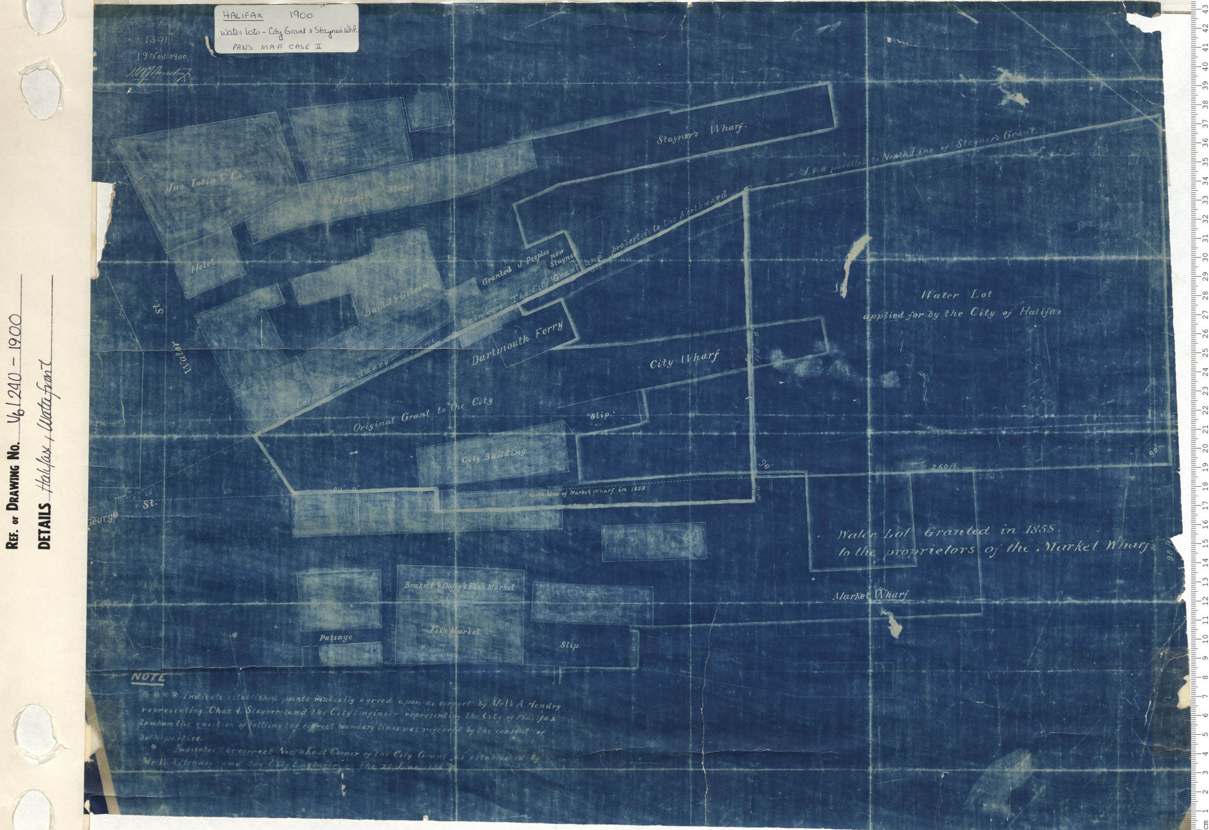
Halifax, Waterfront
Date: 1900
Reference: Nova Scotia Archives Map Collection: V6 240 Halifax, Nova Scotia
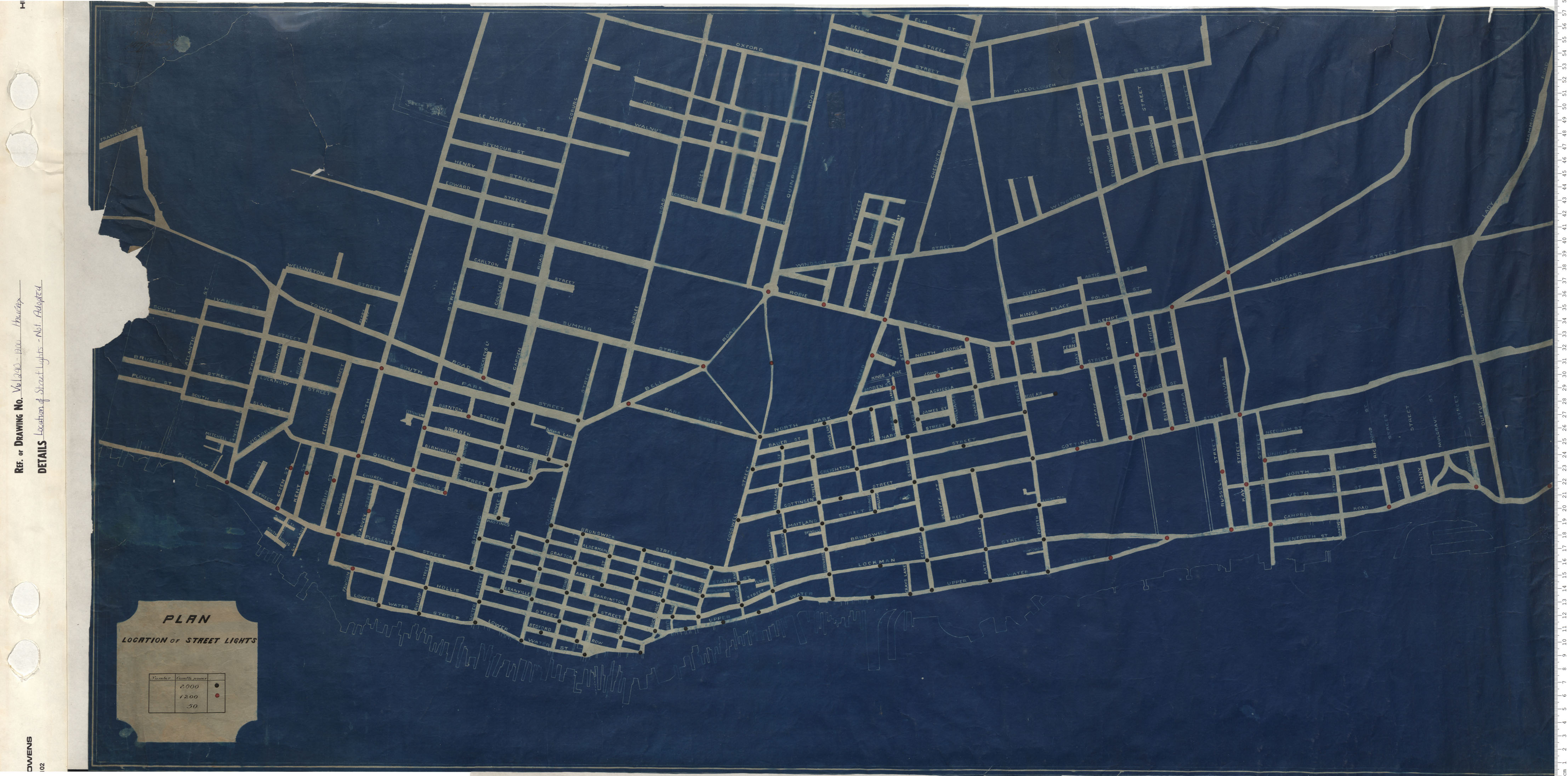
Location of Street Lights Not Adopted
Date: 1900
Reference: Nova Scotia Archives Map Collection: V6 240 Halifax, Nova Scotia
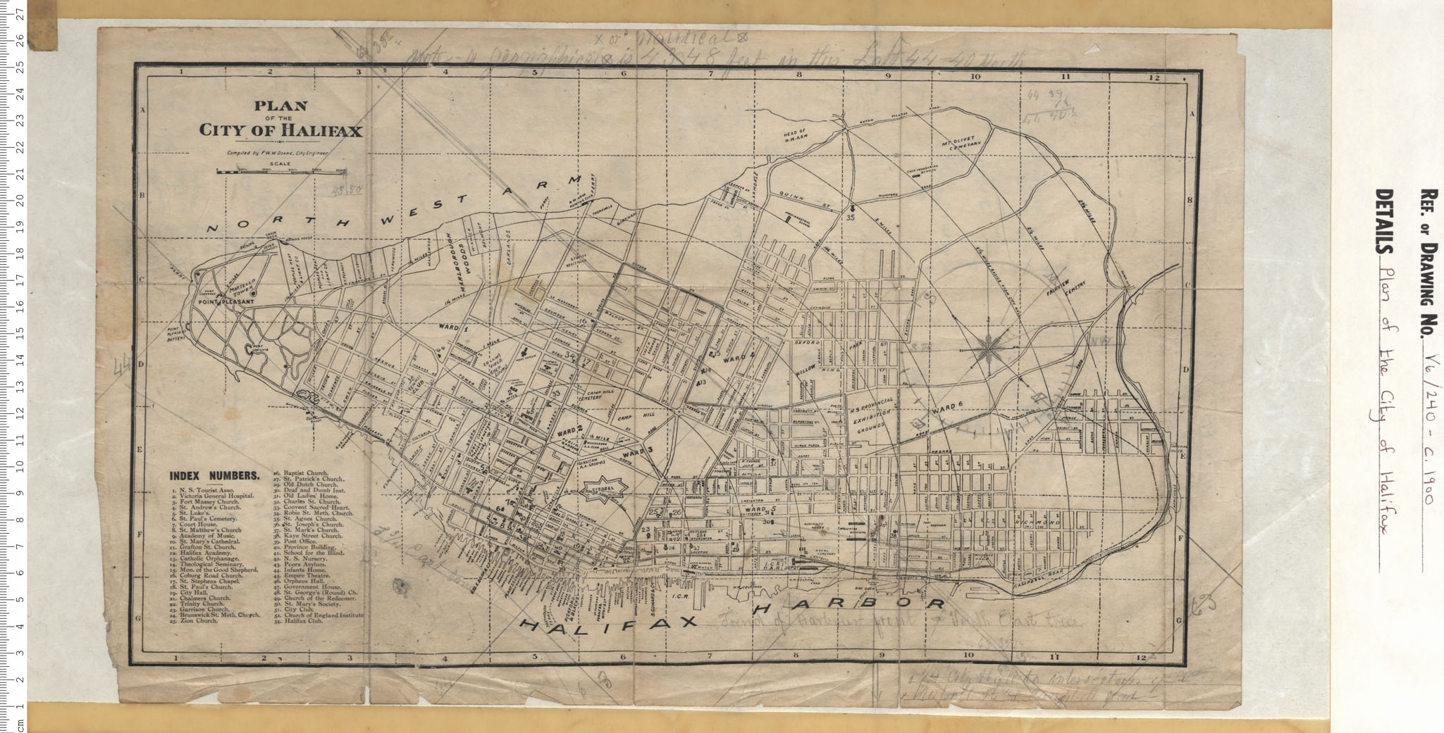
Plan of the City of Halifax
Date: 1900
Reference: Nova Scotia Archives Map Collection: V6 240 Halifax, Nova Scotia
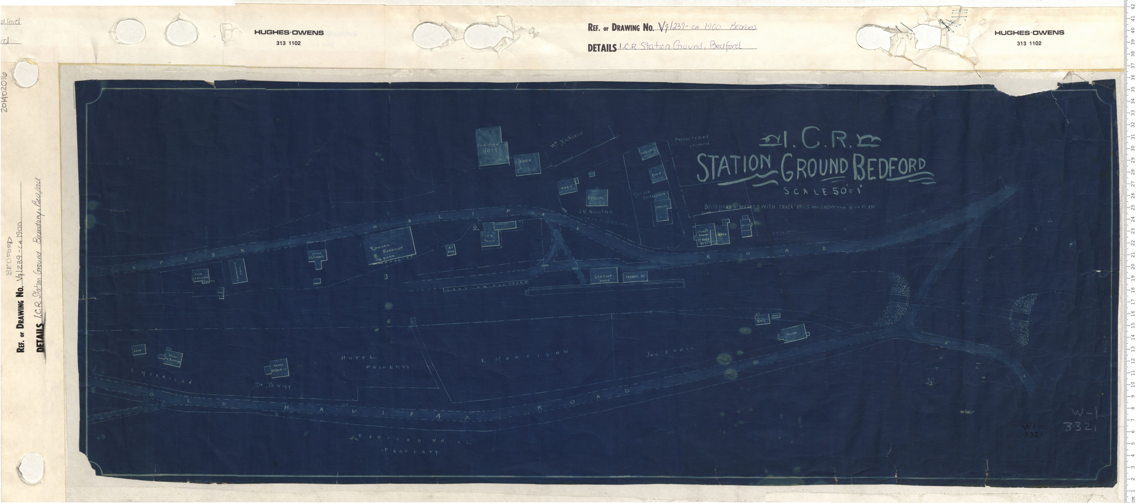
I.C.R. Station Ground, Bedford
Date: 1900
Reference: Nova Scotia Archives Map Collection: V7 239 Bedford, Nova Scotia
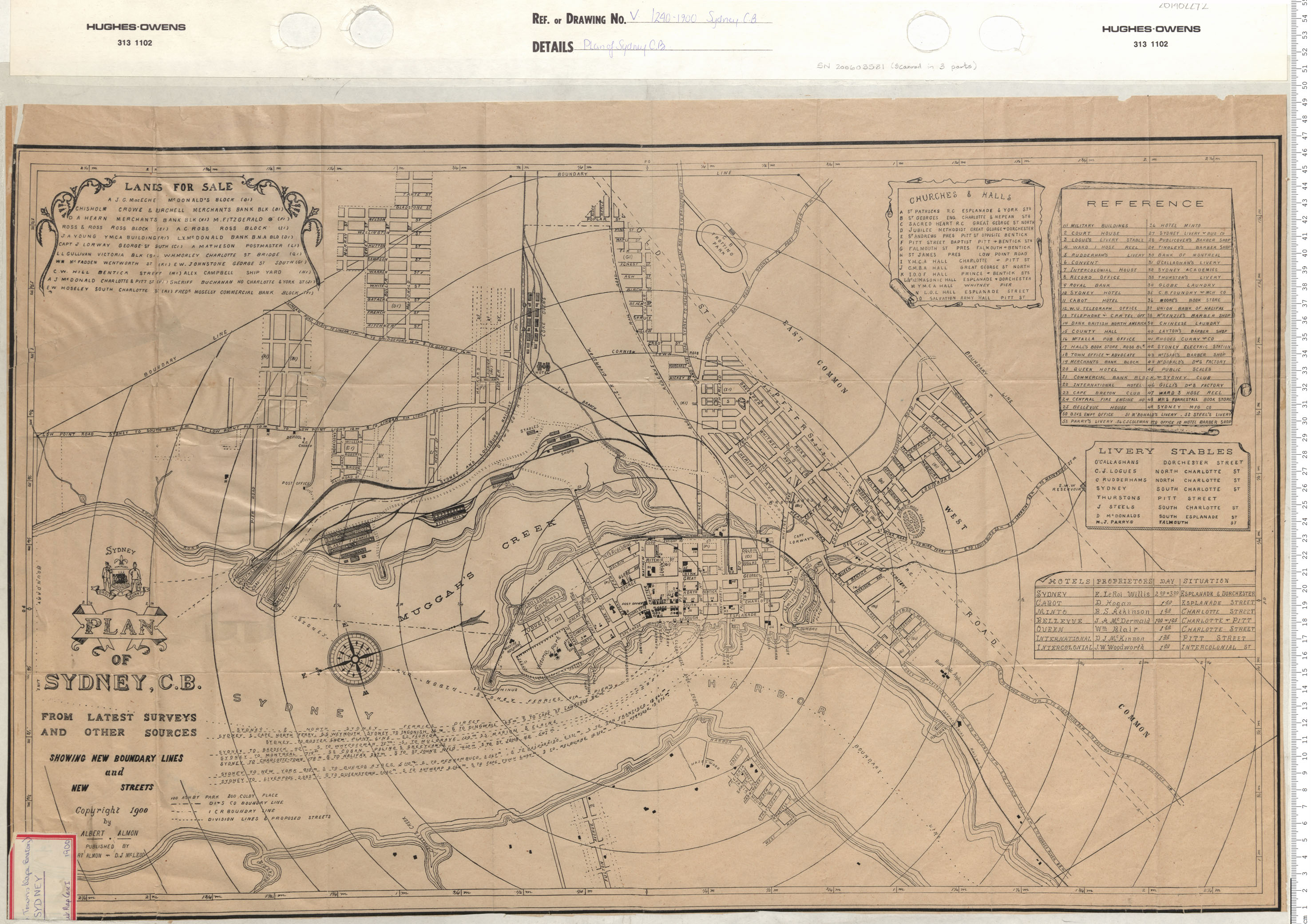
Plan of Sydney, Cape Breton
Date: 1900
Reference: Nova Scotia Archives Map Collection: V7 240 Sydney, Nova Scotia
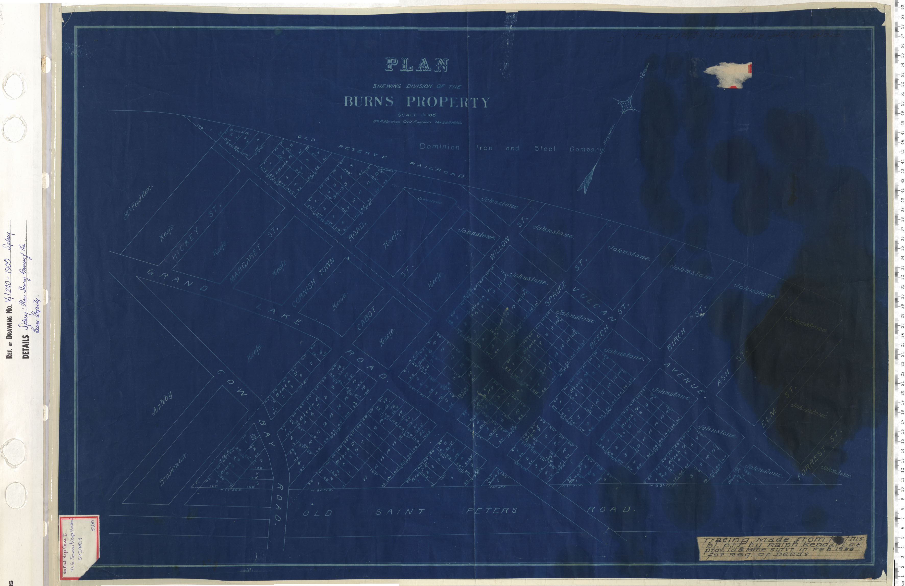
Sydney: Plan Shewing Division of the Burns Property
Date: 1900
Reference: Nova Scotia Archives Map Collection: V7 240 Sydney, Nova Scotia
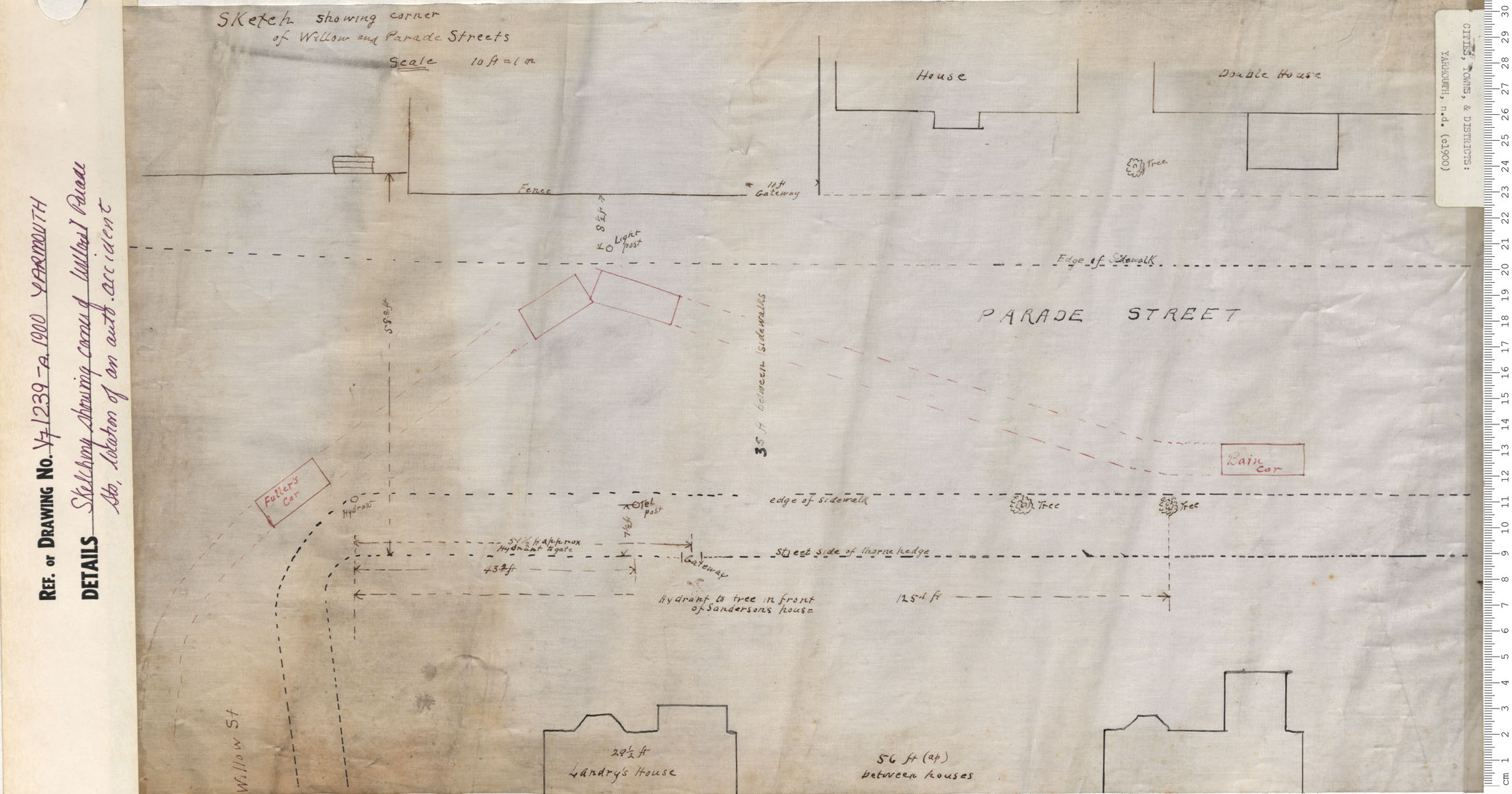
Sketching Showing corner of Willow and Parade Sts. Location of auto accident
Date: 1900
Reference: Nova Scotia Archives Map Collection: V7 239 Yarmouth, Nova Scotia
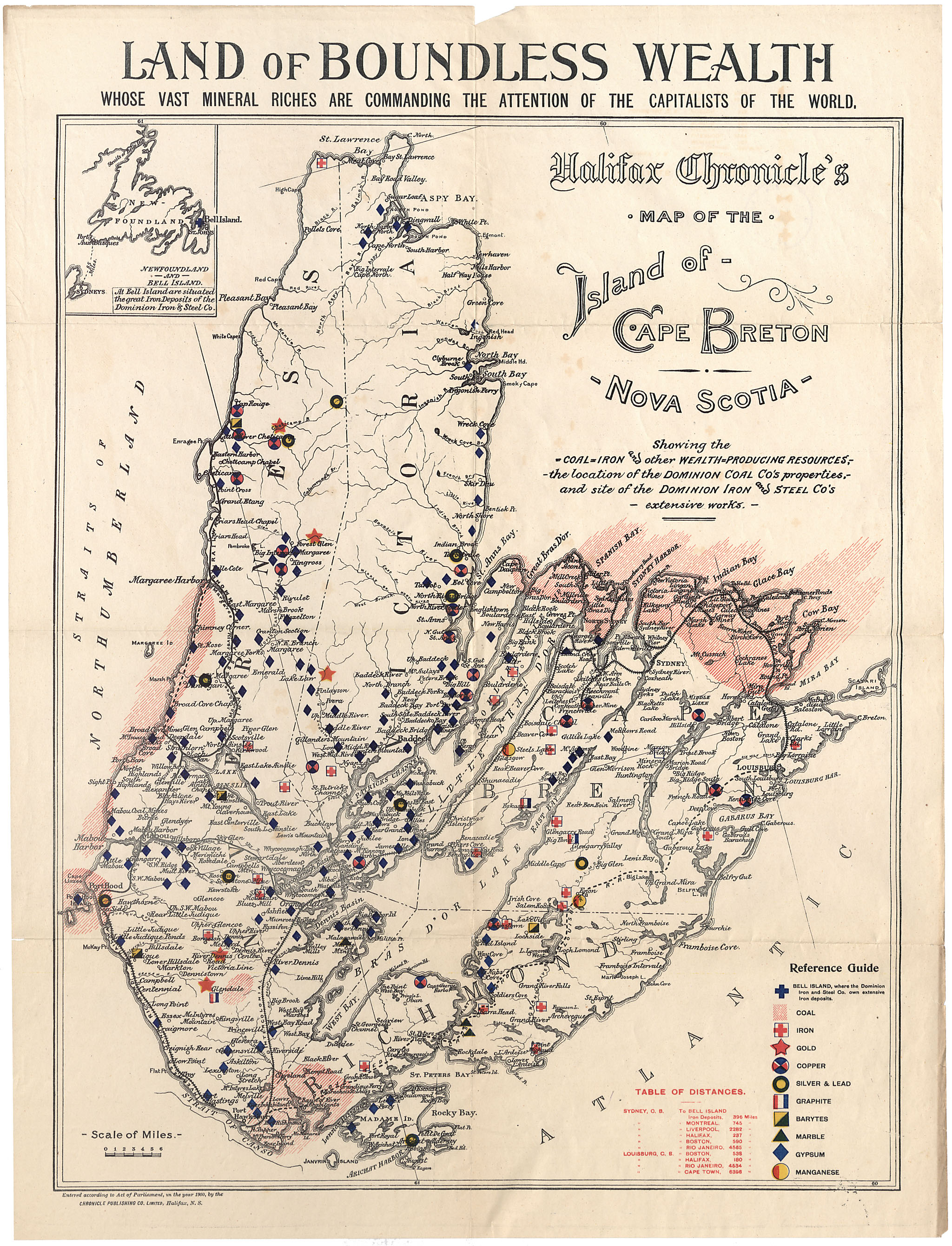
Map of the Island of Cape Breton
Date: 1900
Reference: Nova Scotia Archives Map Collection: F/201 - 1900
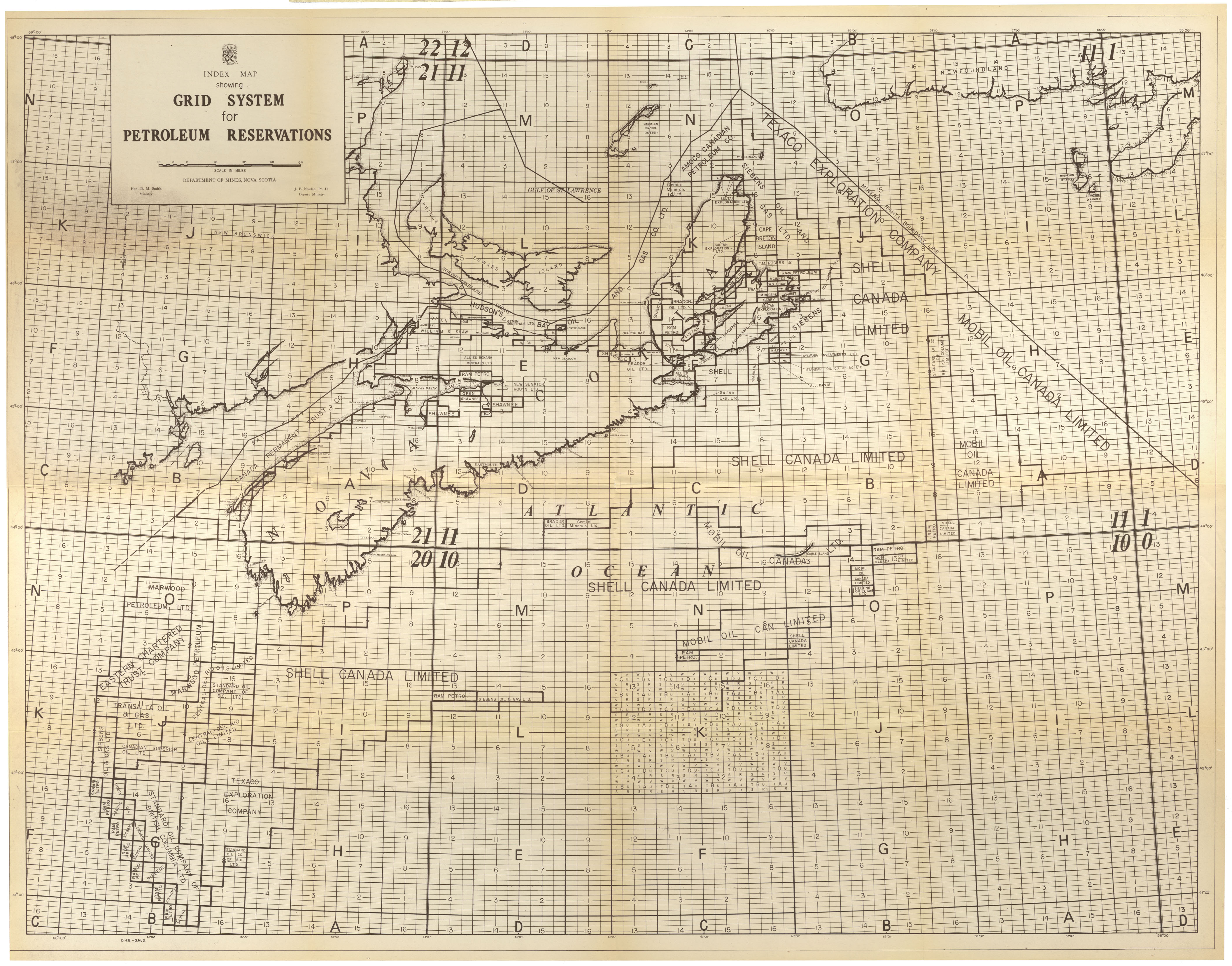
Index Map showing Grid System for Petroleum Reservations
Date: 1900
Reference: Nova Scotia Archives Map Collection: F/202 - 1900s
Shubenacadie Canal & Dartmouth Lakes
Date: 1900
Reference: Nova Scotia Archives Map Collection: F/210 - 19__
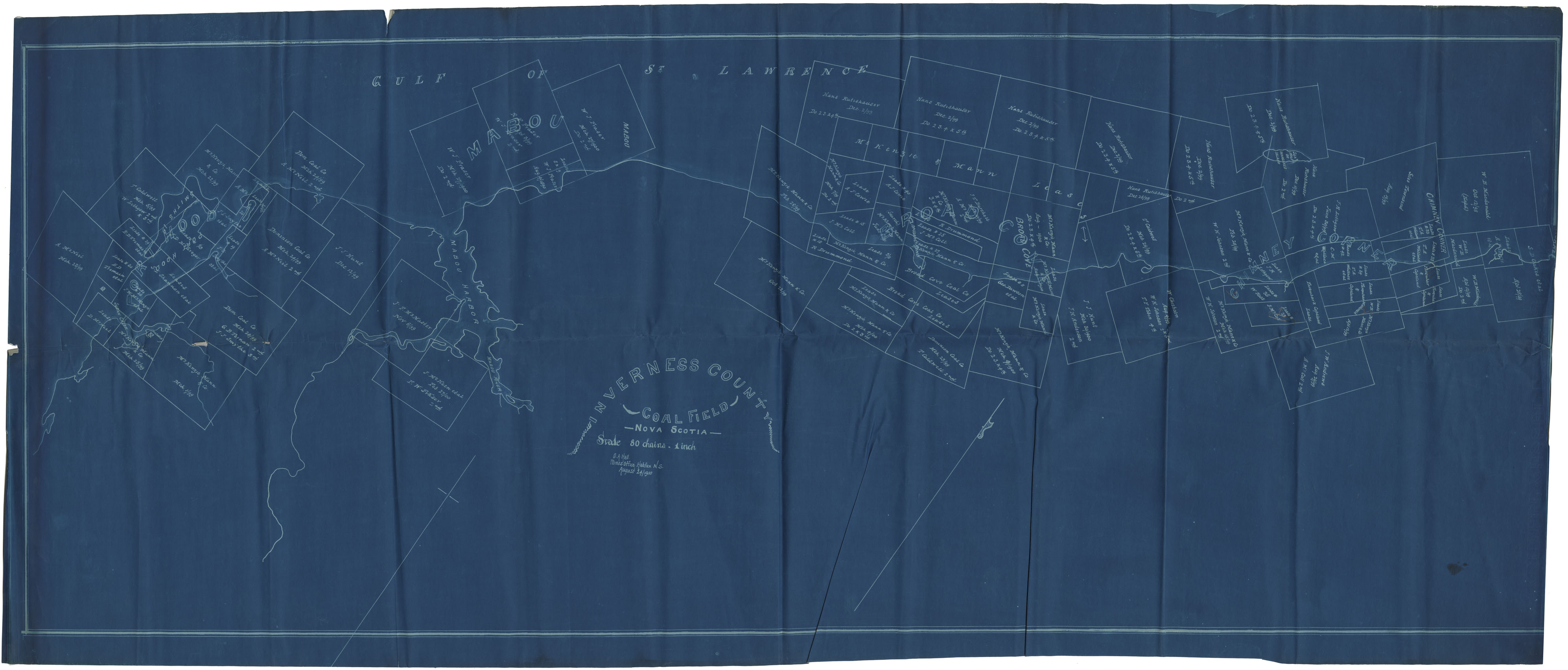
Inverness County Coal Field
Date: 24 August 1900
Reference: Nova Scotia Archives Map Collection: F/230 - 1900
