Nova Scotia Archives
Woolford's Surveys: The Roads from Halifax to Windsor and Truro, 1817-18
Results 1 to 19 of 47 from your search:
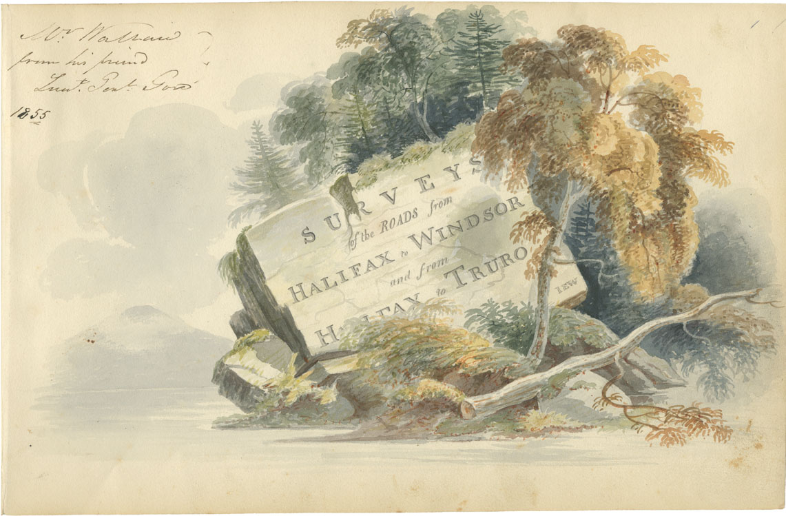
Sheet 1: 'Surveys of the Roads from Halifax to Windsor and from Halifax to Truro'
Date: 1817-18
Draughtsman: John Elliott Woolford
Reference: Nova Scotia Archives Map Collection: 15.1
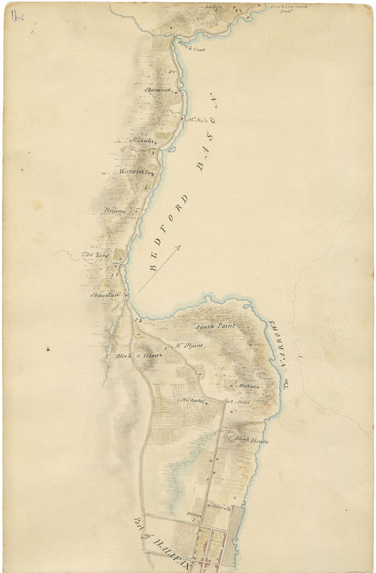
Sheet 2: Mile 0 to Mile 6: Halifax to Prince's Lodge
Date: 1817-18
Draughtsman: John Elliott Woolford
Reference: Nova Scotia Archives Map Collection: 15.1
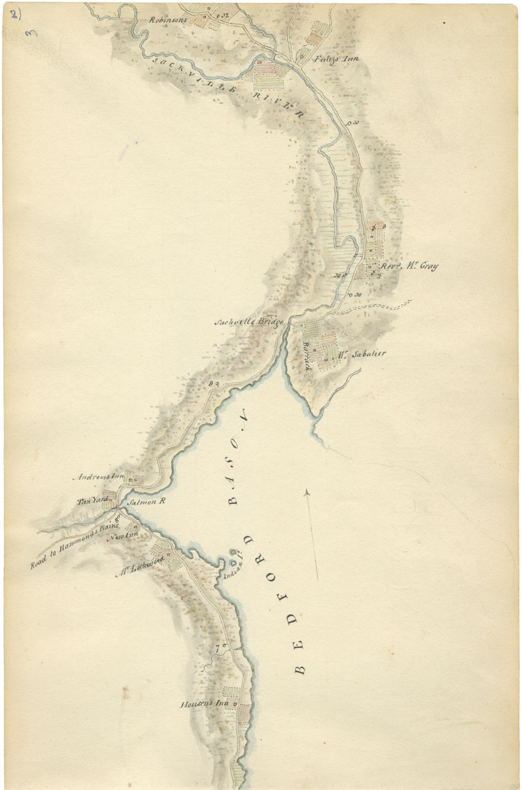
Sheet 3: Mile 7 to Mile 12: Bedford Basin, Bedford and Sackville
Date: 1817-18
Draughtsman: John Elliott Woolford
Reference: Nova Scotia Archives Map Collection: 15.1
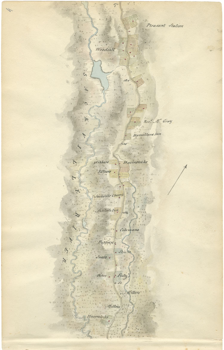
Sheet 4: Mile 13 to Mile 17: Sackville
Date: 1817-18
Draughtsman: John Elliott Woolford
Reference: Nova Scotia Archives Map Collection: 15.1
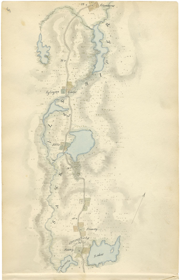
Sheet 5: Mile 18 to Mile 22: Sackville
Date: 1817-18
Draughtsman: John Elliott Woolford
Reference: Nova Scotia Archives Map Collection: 15.1
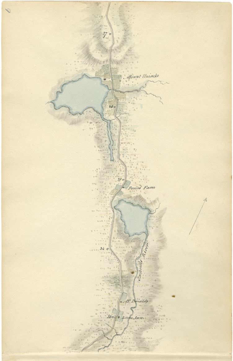
Sheet 6: Mile 23 to Mile 27: Sackville and Mount Uniacke
Date: 1817-18
Draughtsman: John Elliott Woolford
Reference: Nova Scotia Archives Map Collection: 15.1
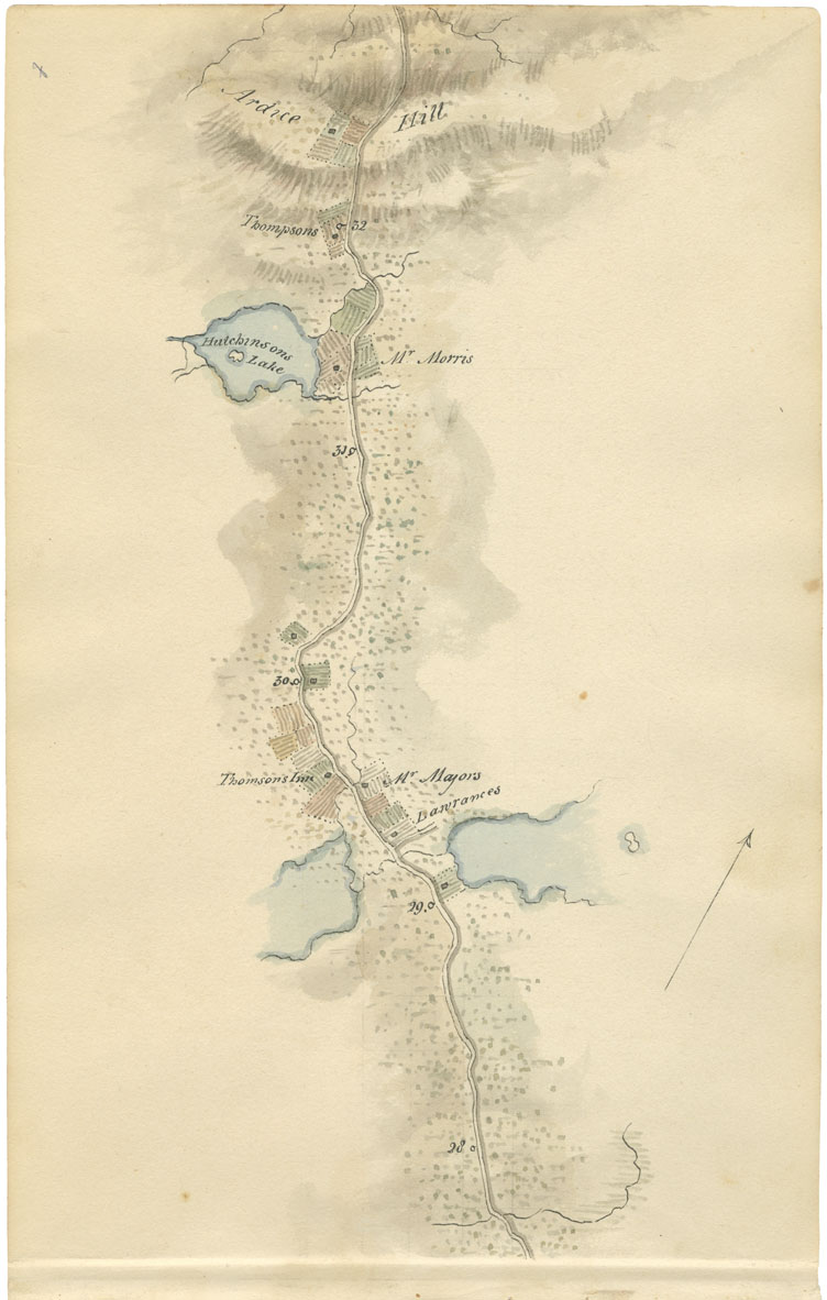
Sheet 7: Mile 28 to Mile 32: Cameron's Lake to Ardoise Hill
Date: 1817-18
Draughtsman: John Elliott Woolford
Reference: Nova Scotia Archives Map Collection: 15.1
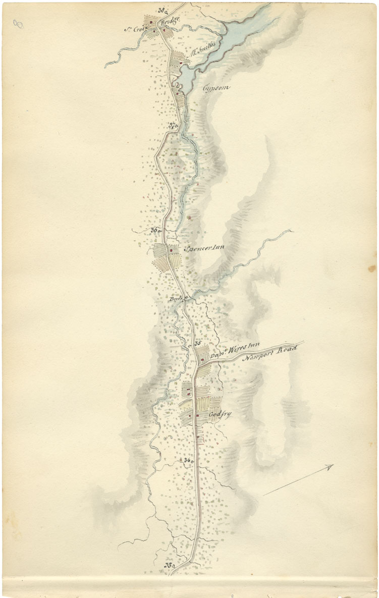
Sheet 8: Mile 33 to Mile 38: Newport Road and St. Croix
Date: 1817-18
Draughtsman: John Elliott Woolford
Reference: Nova Scotia Archives Map Collection: 15.1
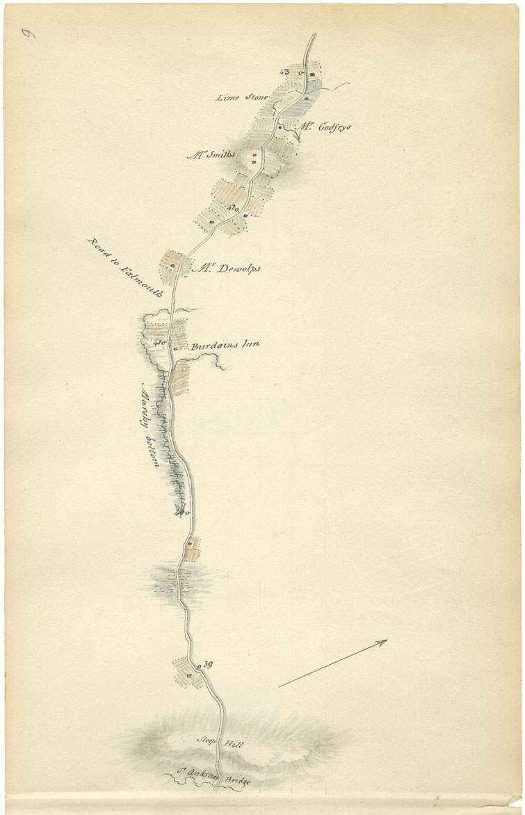
Sheet 9: Mile 39 to Mile 43: St. Andrew's Bridge to road to Falmouth
Date: 1817-18
Draughtsman: John Elliott Woolford
Reference: Nova Scotia Archives Map Collection: 15.1
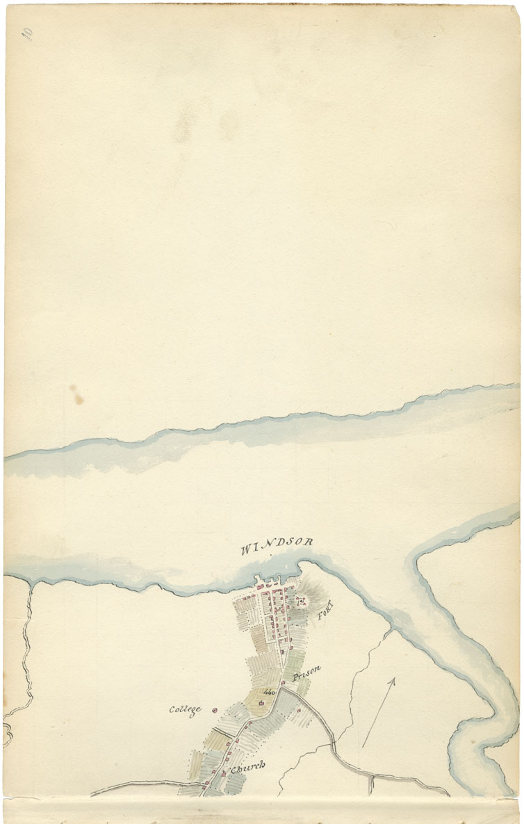
Sheet 10: Mile 44: Windsor
Date: 1817-18
Draughtsman: John Elliott Woolford
Reference: Nova Scotia Archives Map Collection: 15.1
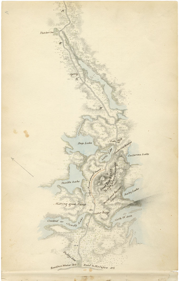
Sheet 11: Mile 12 to Mile 19: Sackville to Fletcher Inn
Date: 1817-18
Draughtsman: John Elliott Woolford
Reference: Nova Scotia Archives Map Collection: 15.1
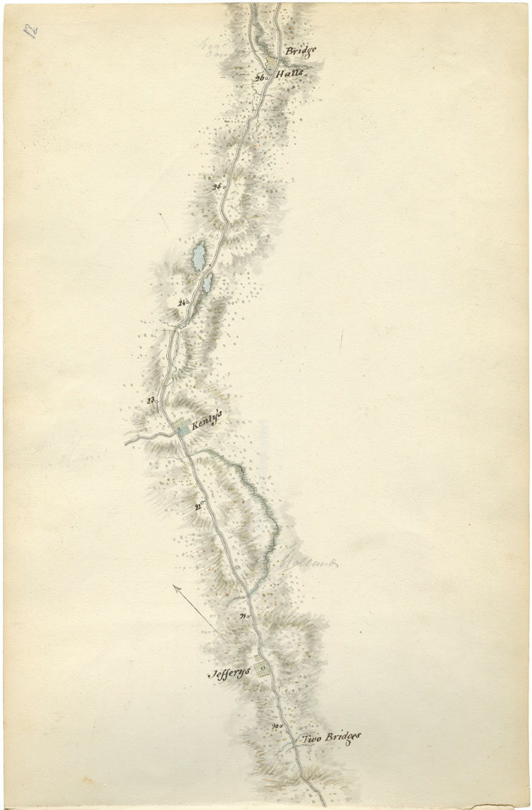
Sheet 12: Mile 20 to Mile 26: Grand Lake area
Date: 1817-18
Draughtsman: John Elliott Woolford
Reference: Nova Scotia Archives Map Collection: 15.1
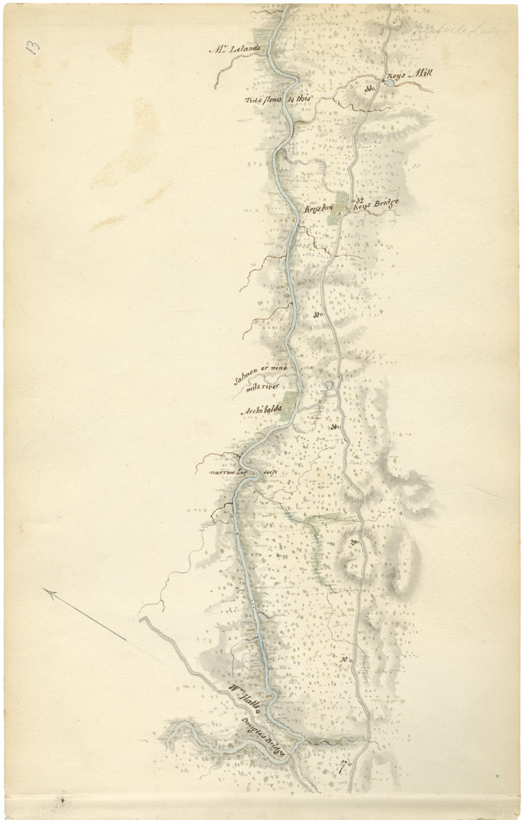
Sheet 13: Mile 27 to Mile 33: Enfield
Date: 1817-18
Draughtsman: John Elliott Woolford
Reference: Nova Scotia Archives Map Collection: 15.1
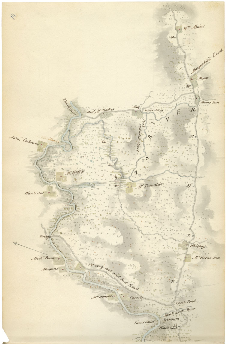
Sheet 14: Mile 34 to Mile 40: Shubenacadie River and Gays River
Date: 1817-18
Draughtsman: John Elliott Woolford
Reference: Nova Scotia Archives Map Collection: 15.1
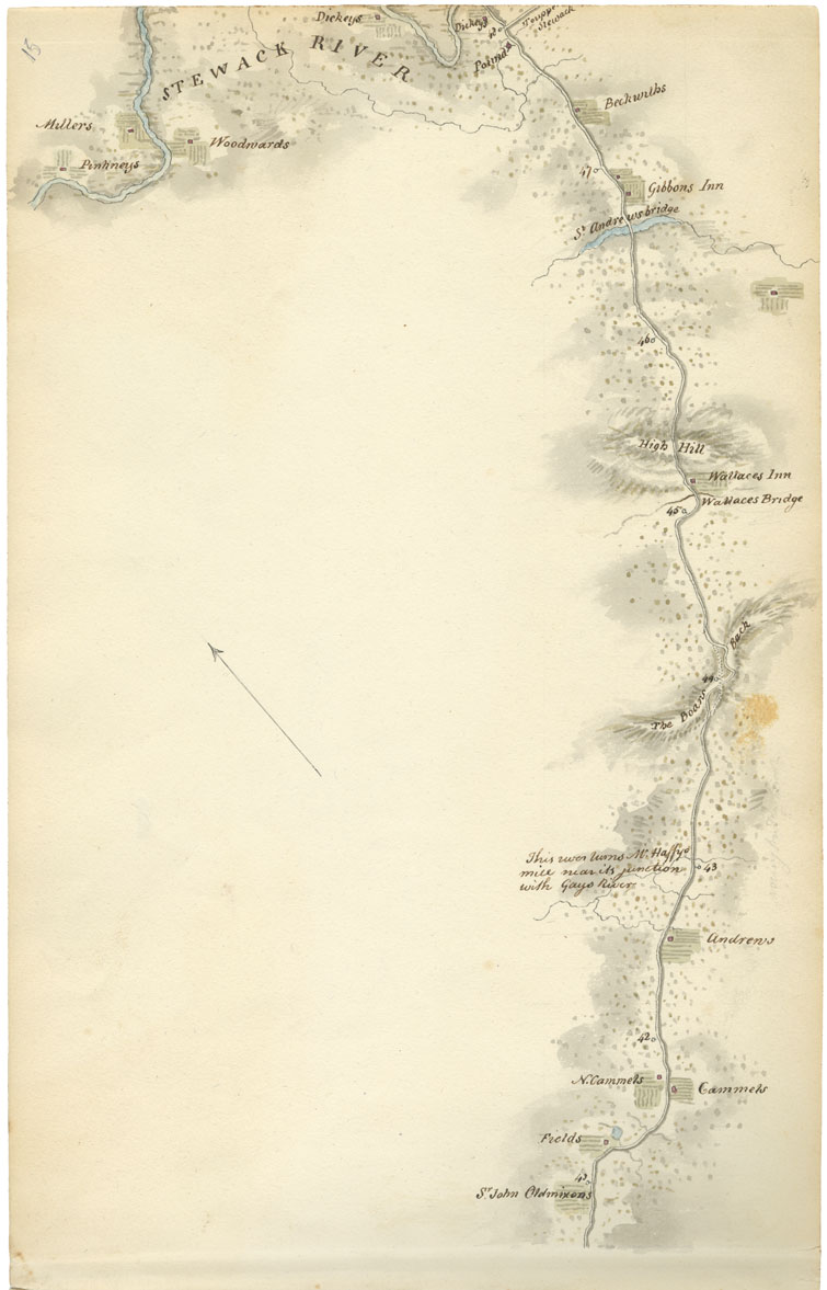
Sheet 15: Mile 41 to Mile 48: Gays River and Stewiacke
Date: 1817-18
Draughtsman: John Elliott Woolford
Reference: Nova Scotia Archives Map Collection: 15.1
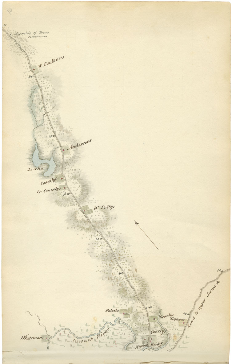
Sheet 16: Mile 49 to Mile 55: Stewiacke River to Truro Township
Date: 1817-18
Draughtsman: John Elliott Woolford
Reference: Nova Scotia Archives Map Collection: 15.1
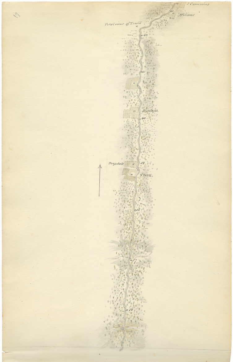
Sheet 17: Mile 56 to Mile 63: Truro Township
Date: 1817-18
Draughtsman: John Elliott Woolford
Reference: Nova Scotia Archives Map Collection: 15.1
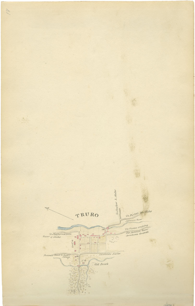
Sheet 18: Mile 64: Truro
Date: 1817-18
Draughtsman: John Elliott Woolford
Reference: Nova Scotia Archives Map Collection: 15.1
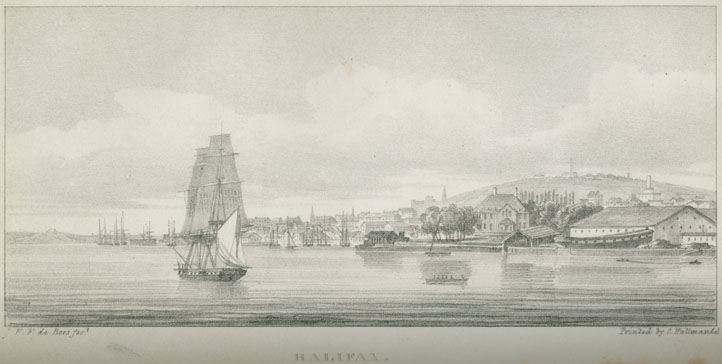
''Halifax''
Reference: Nova Scotia Archives Library AK F28 D43
