Nova Scotia Archives
Woolford's Surveys: The Roads from Halifax to Windsor and Truro, 1817-18
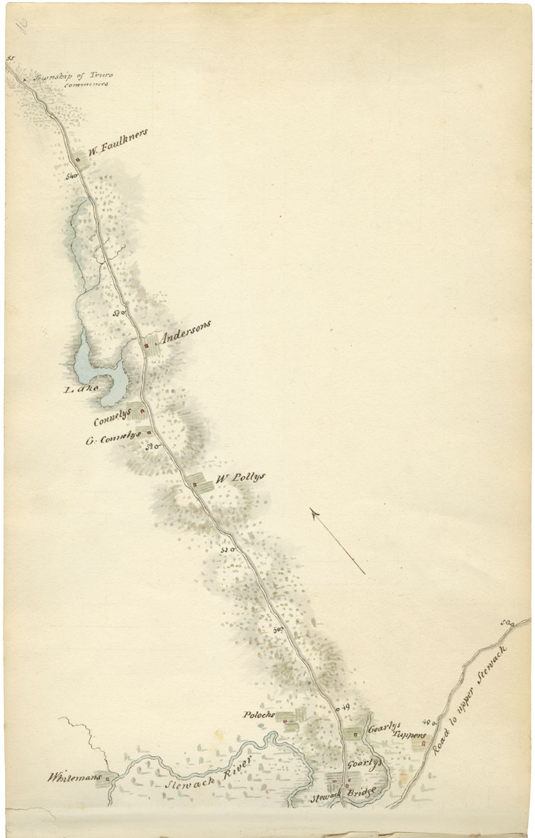
Sheet 16: Mile 49 to Mile 55: Stewiacke River to Truro Township
Miles 49 to 55 included the properties of Whiteman, Goarly (two properties), Tupper, W. Polly, G. Connely, Connely, Anderson, and W. Faulkner. Woolford also identified the Stewiacke River, Stewiacke Bridge, and the road to Upper Stewiacke (mile 49). The map ends where the Township of Truro commences.
Date: 1817-18
Draughtsman: John Elliott Woolford
Reference: Nova Scotia Archives Map Collection: 15.1

