Nova Scotia Archives
Historical Maps of Nova Scotia
Results 31 to 45 of 207 from your search: F/230
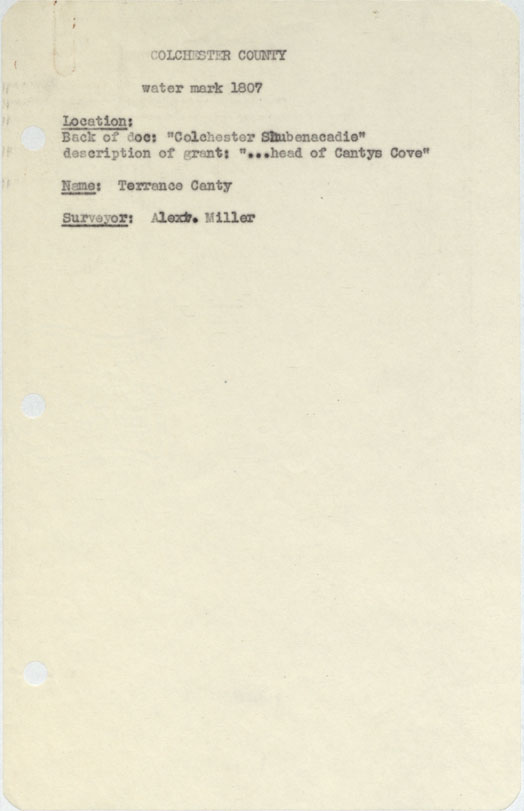
Colchester County "Colchester, Shubenacadie" description of grant…head of Canty's Cove 1807
Date: 1807
Reference: Nova Scotia Archives Map Collection: F/230 - 1807
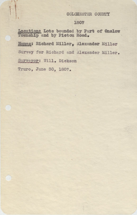
Colchester County Lots bounded by part of Onslow Township and by Pictou Road, 1807
Date: 30 June 1807
Reference: Nova Scotia Archives Map Collection: F/230 - 1807
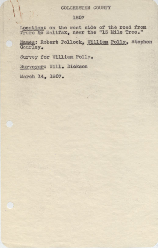
Colchester County On the west side of the Road from Truro to Halifax near the "Thirteen Mile Tree" 1807
Date: 14 March 1807
Reference: Nova Scotia Archives Map Collection: F/230 - 1807
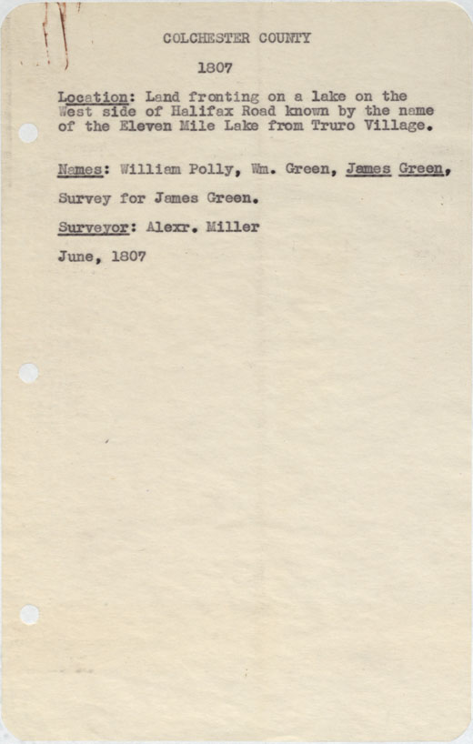
Colchester County Land fronting on a lake on the west side of halifax Road known by the name Eleven Mile lake from truro 1807
Date: June 1807
Reference: Nova Scotia Archives Map Collection: F/230 - 1807
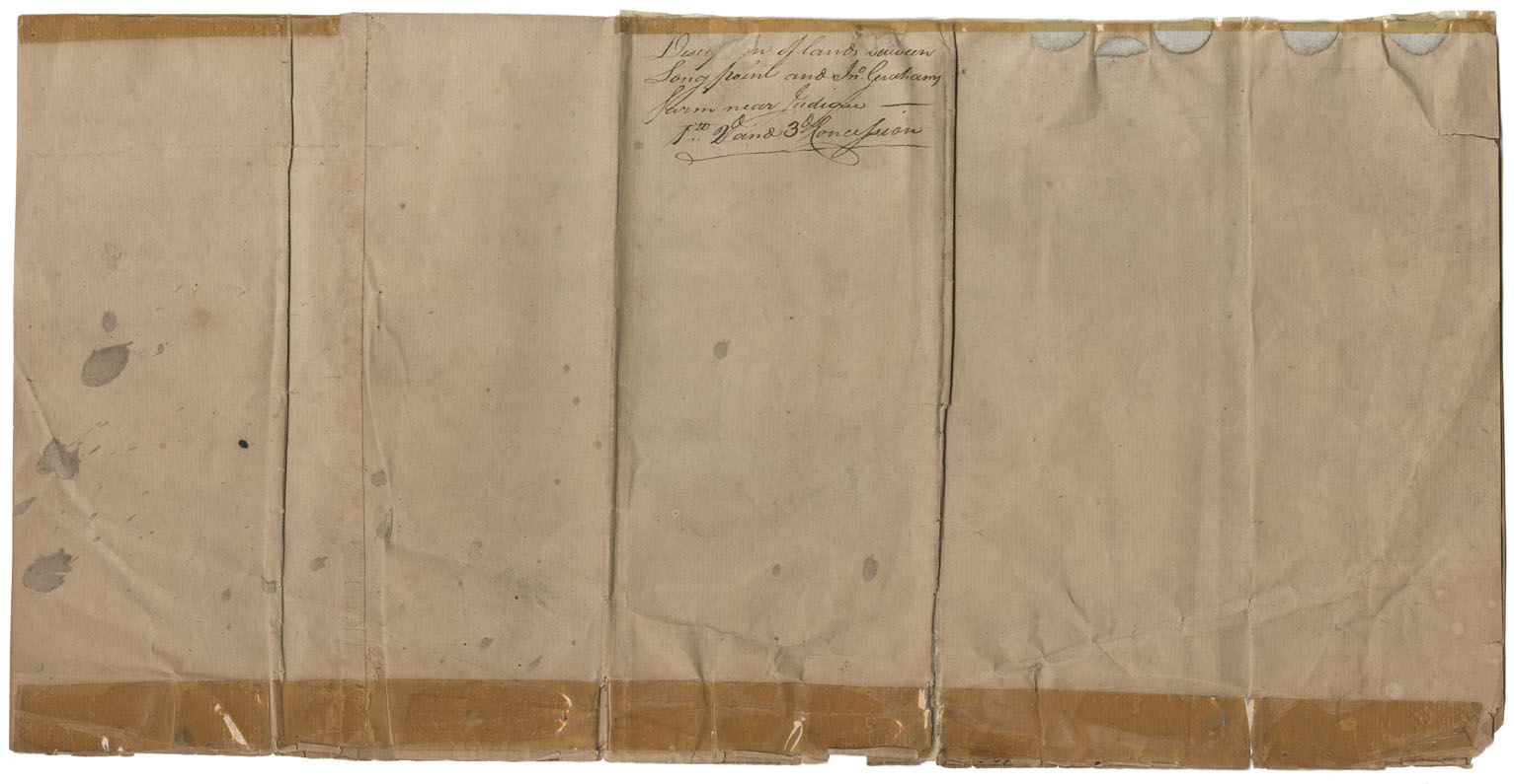
Cape Beton Description of lands between Long Point near Judique
Date: 1 November 1807
Reference: Nova Scotia Archives Map Collection: F/230 - 1807
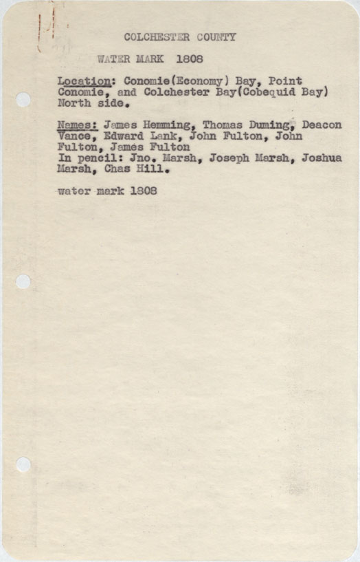
Colchester County Economy Bay, Point Economie and Colchester bay (Cobequid Bay) north side w.m.1808
Date: 1808
Reference: Nova Scotia Archives Map Collection: F/230 - 1808
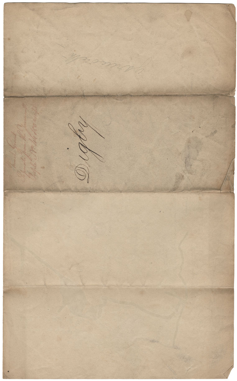
The plan at the French lots separate from the Yarmouth People
Date: 1808
Reference: Nova Scotia Archives Map Collection: F/230 - 1808
Halifax County Ibeginbic between Clamb Harbour & Jeddore w.m.1808
Date: 1808
Reference: Nova Scotia Archives Map Collection: F/230 - 1808
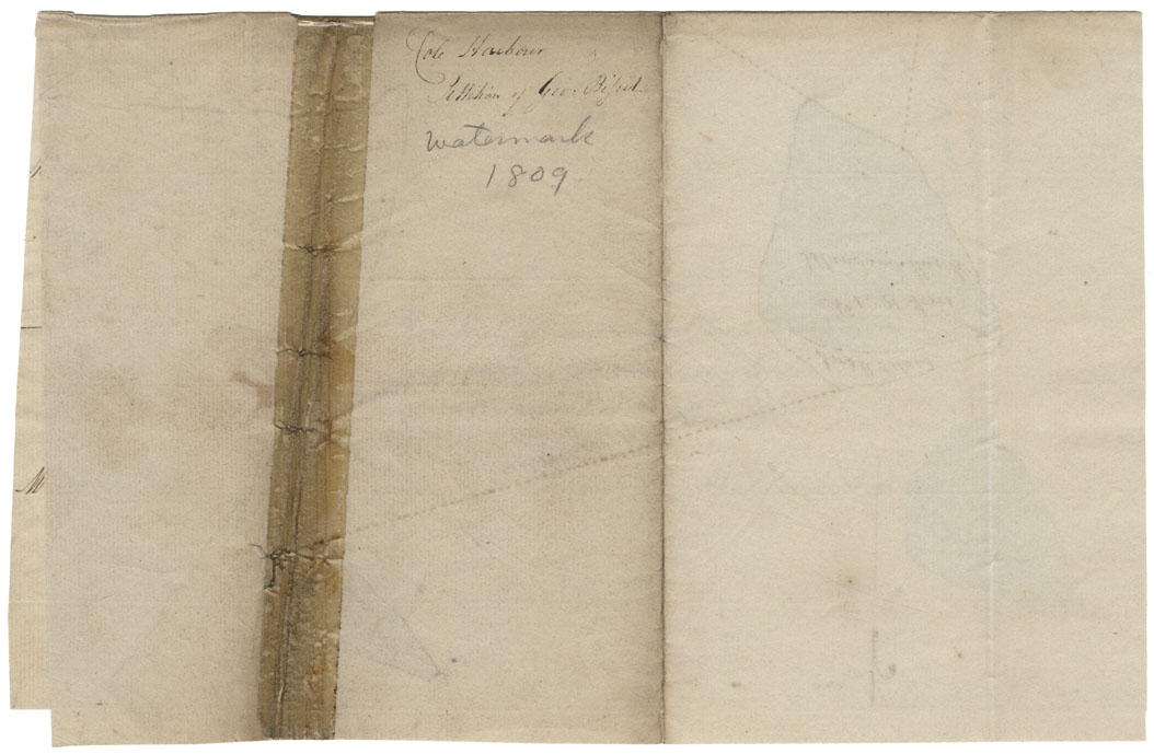
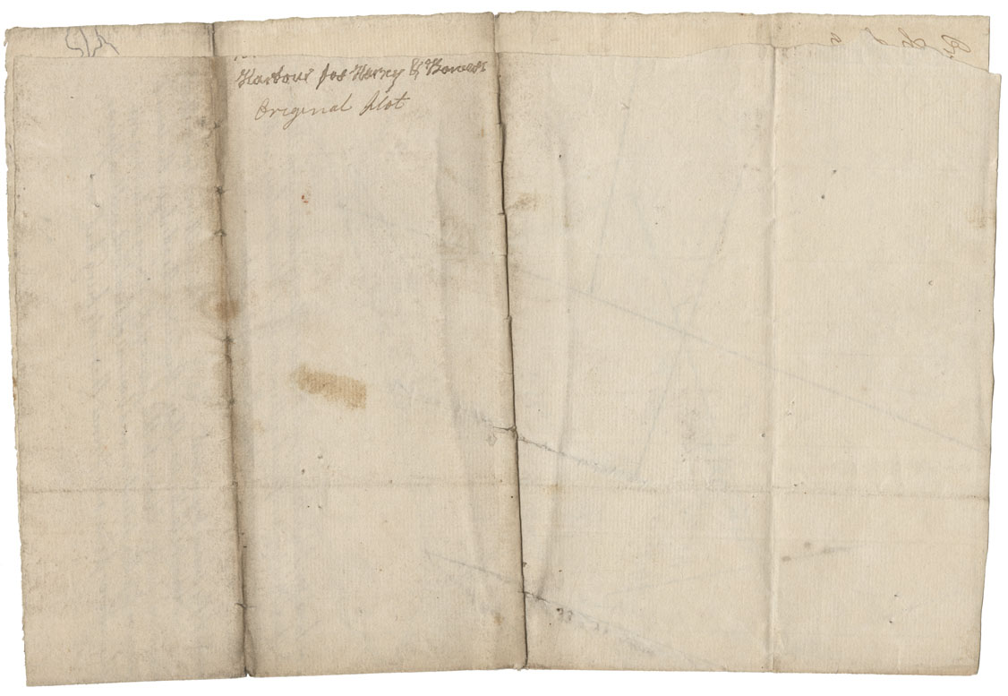
Plan of Three pieces of Marsh & Beach situate in Cole Harbour
Date: 21 August 1809
Reference: Nova Scotia Archives Map Collection: F/230 - 1809
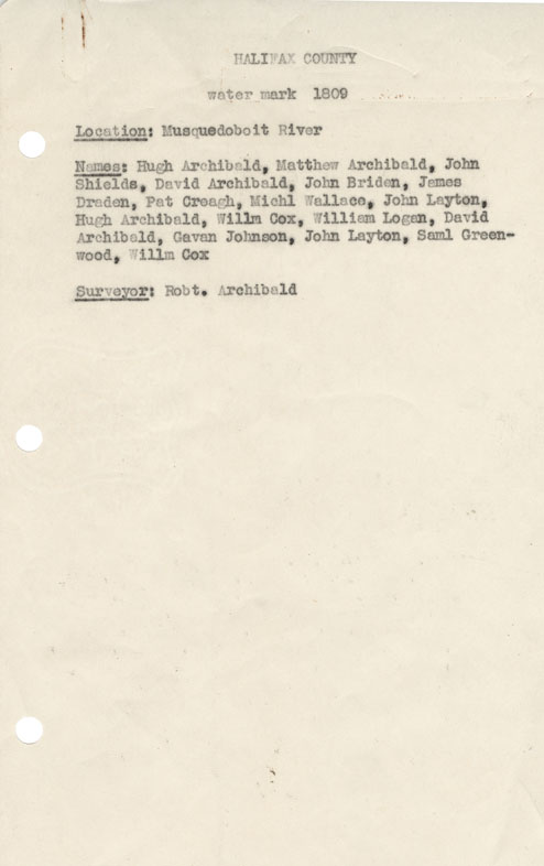
Halifax County Musquodoboit River w.m.1809
Date: 1809
Reference: Nova Scotia Archives Map Collection: F/230 - 1809
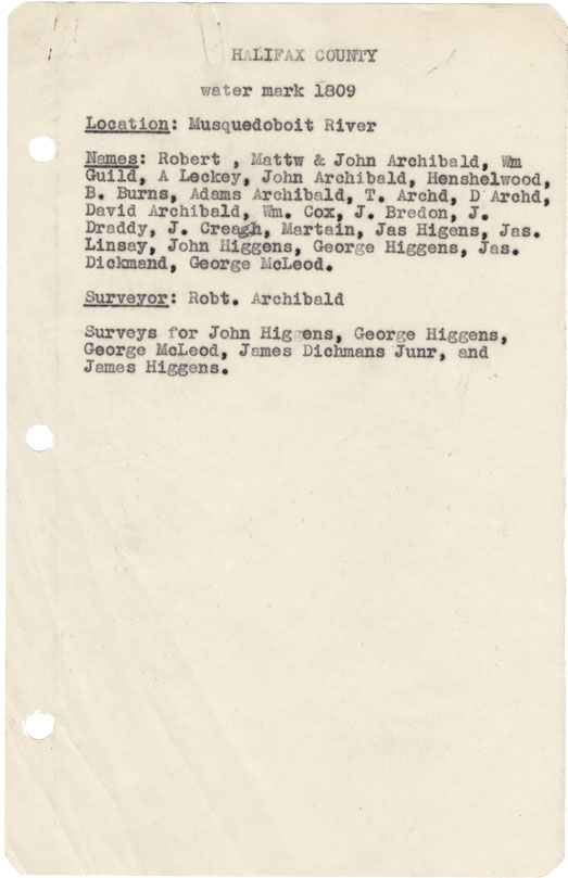
Halifax County Musquodoboit River w.m.1809
Date: 1809
Reference: Nova Scotia Archives Map Collection: F/230 - 1809
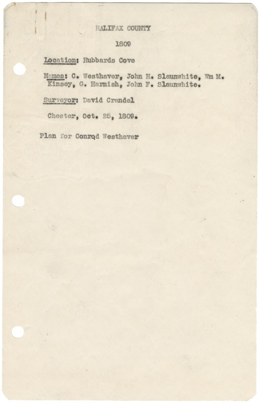
Halifax County Hubbard's Cove 1809
Date: 25 October 1809
Reference: Nova Scotia Archives Map Collection: F/230 - 1809
Plan of the Lots opposite Fort Dalhousie, E.A.Mills
Date: 18 July 1810
Reference: Nova Scotia Archives Map Collection: F/230 - 1910
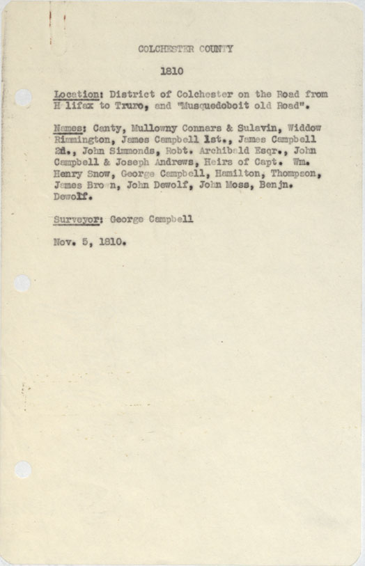
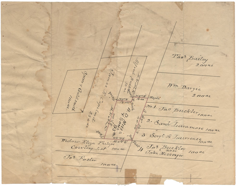
Colchester County District of Colchester on the Road from halifax to Truro and "Musquodoboit Old Road 1810
Date: 5 November 1810
Reference: Nova Scotia Archives Map Collection: F/230 - 1810
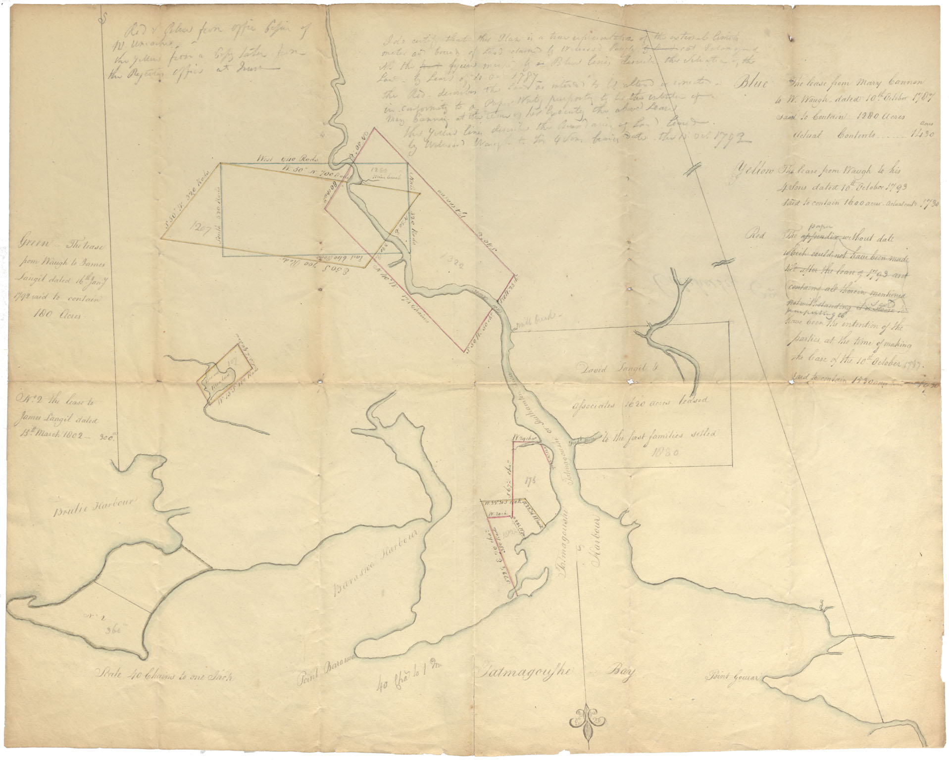
Colchester County From Brule Harbour to Tatamagouche Bay & Road w.m.1810
Date: 1810
Reference: Nova Scotia Archives Map Collection: F/230 - 1810