Nova Scotia Archives
Historical Maps of Nova Scotia
Results 136 to 150 of 207 from your search: F/230
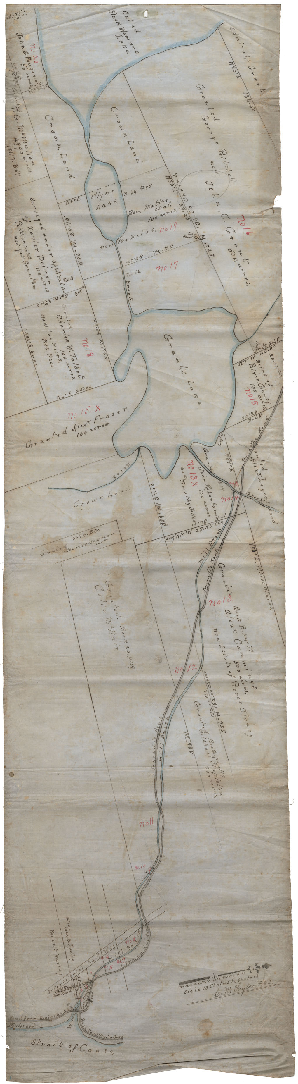
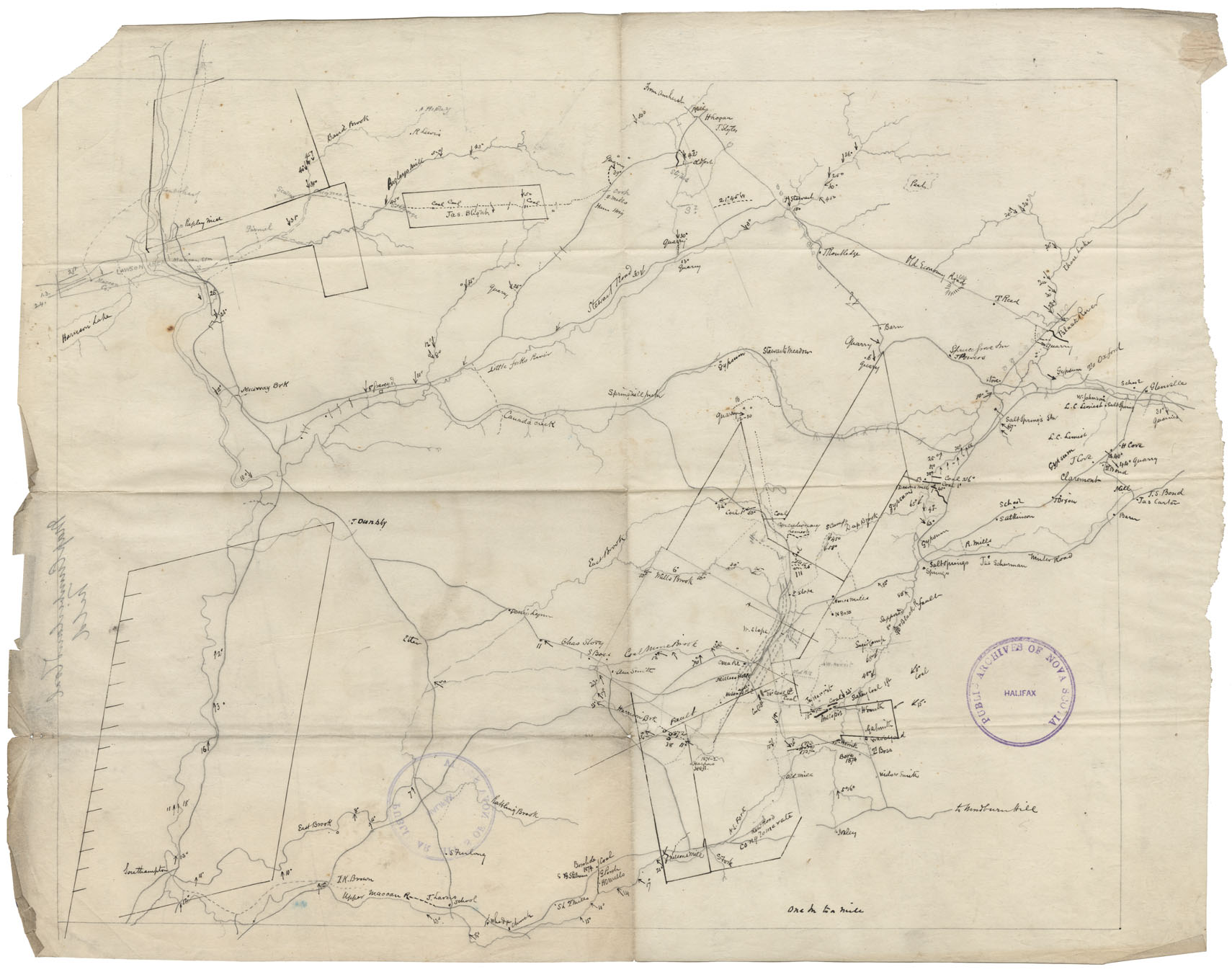
District of Colchester, vicinity of St.Andrew's River and "Bridge over Suack" and Halifax Road
Date:
Reference: Nova Scotia Archives Map Collection: F/230
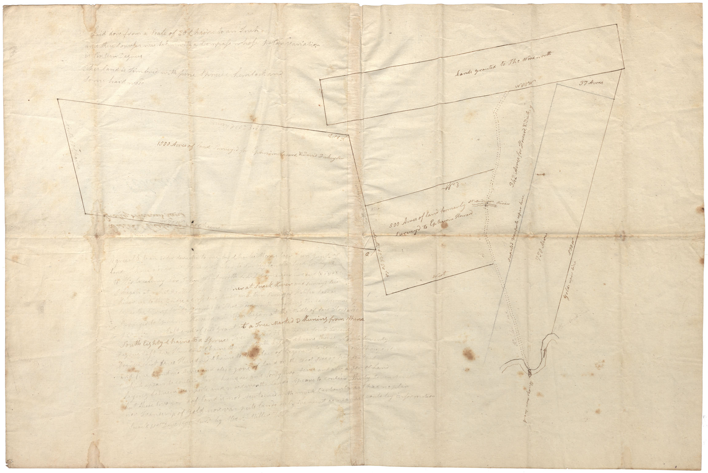
Lots bounded by Stewiacke River, Upper Stewiacke Grant & Manchester Road
Date:
Reference: Nova Scotia Archives Map Collection: F/230
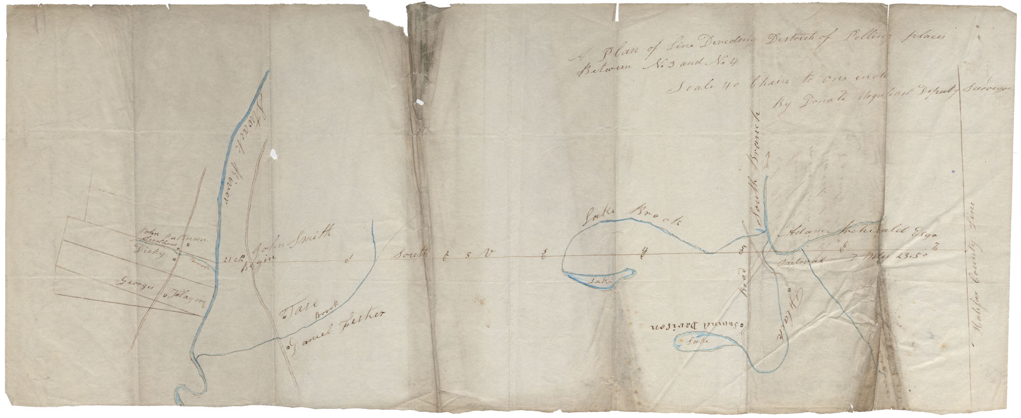
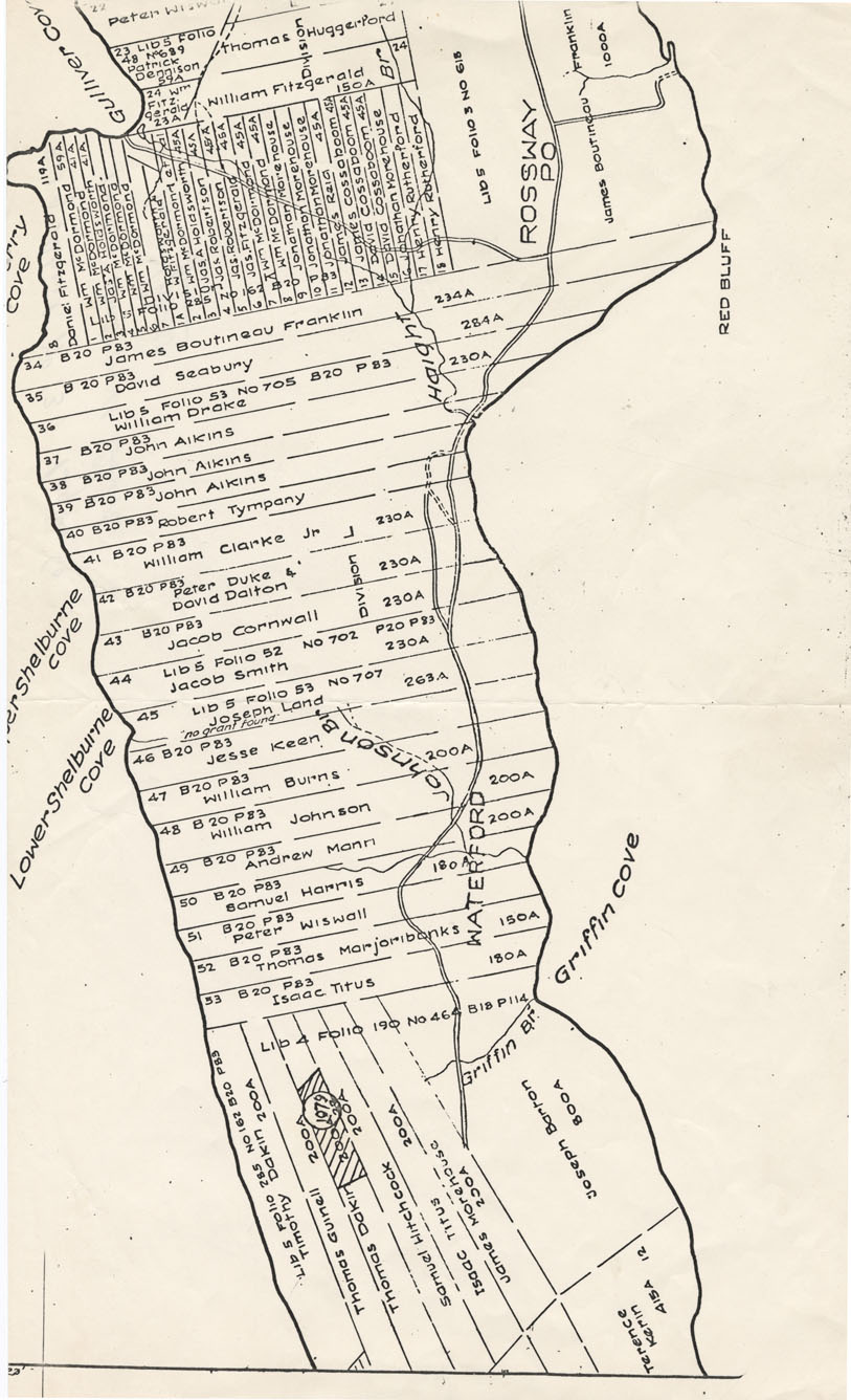
Between Stewiacke River and Halifax county Line
Date:
Reference: Nova Scotia Archives Map Collection: F/230
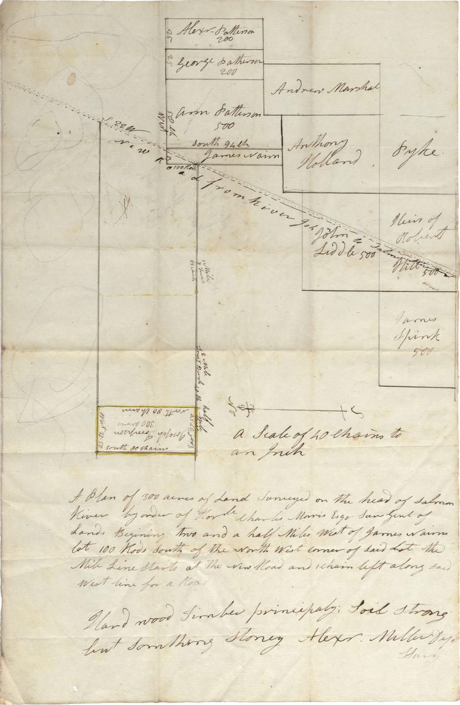
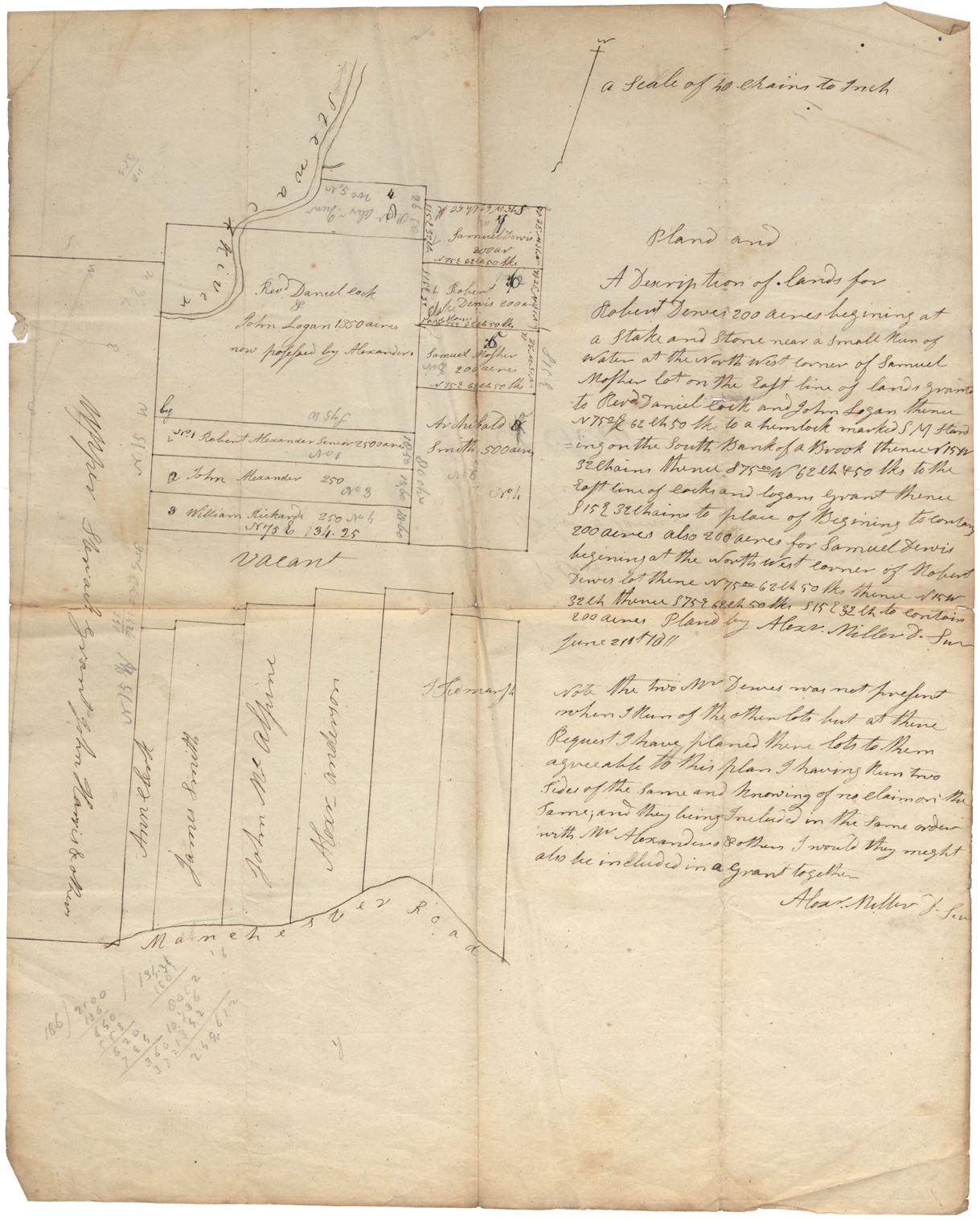
Onslow-head of Salmon River near "New Road from River John to Salmon River"
Date:
Reference: Nova Scotia Archives Map Collection: F/230
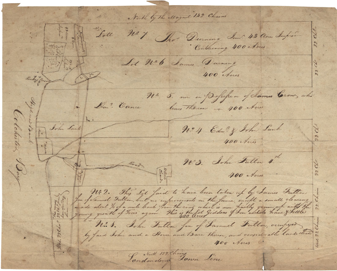
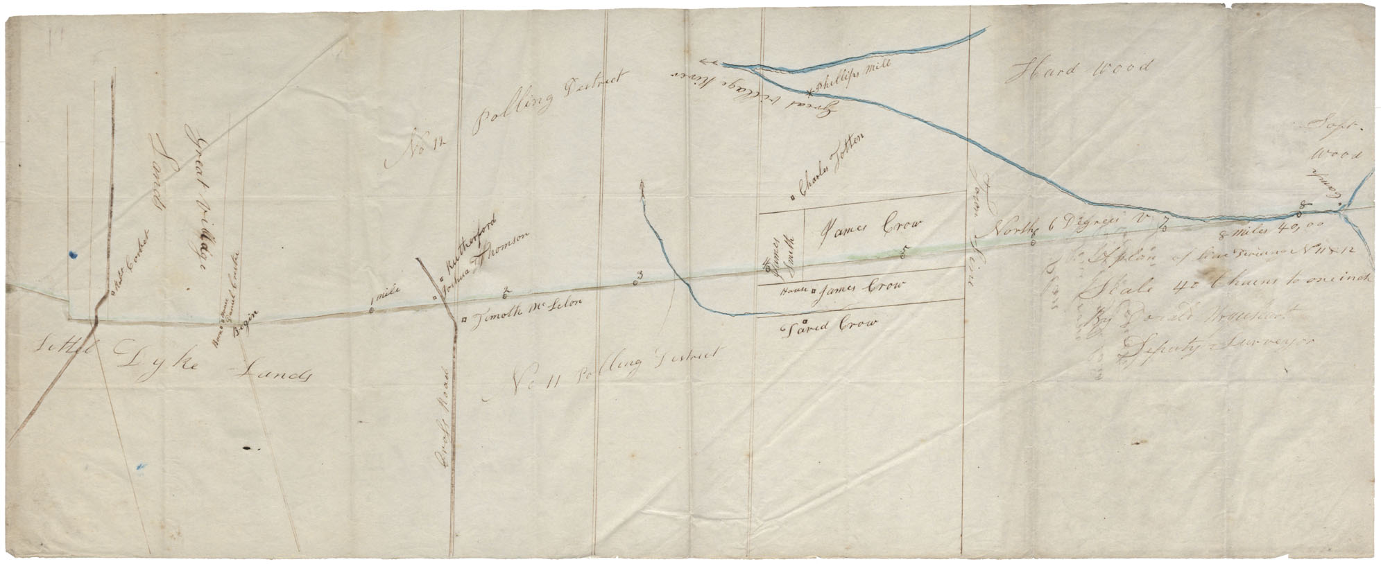
Colchester County "Plan of line from Littel Dyke lands north to County line" district of Great Villiage and Grant Villiage River
Date:
Reference: Nova Scotia Archives Map Collection: F/230

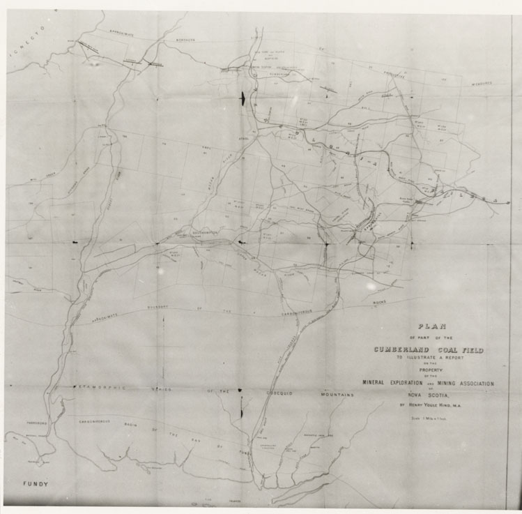
Plan of part of the Cumberland Coal Field to illustrate report on property…by Henry Y. Hind
Date:
Reference: Nova Scotia Archives Map Collection: F/230
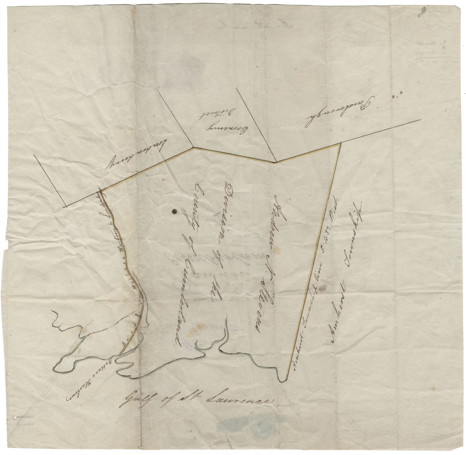
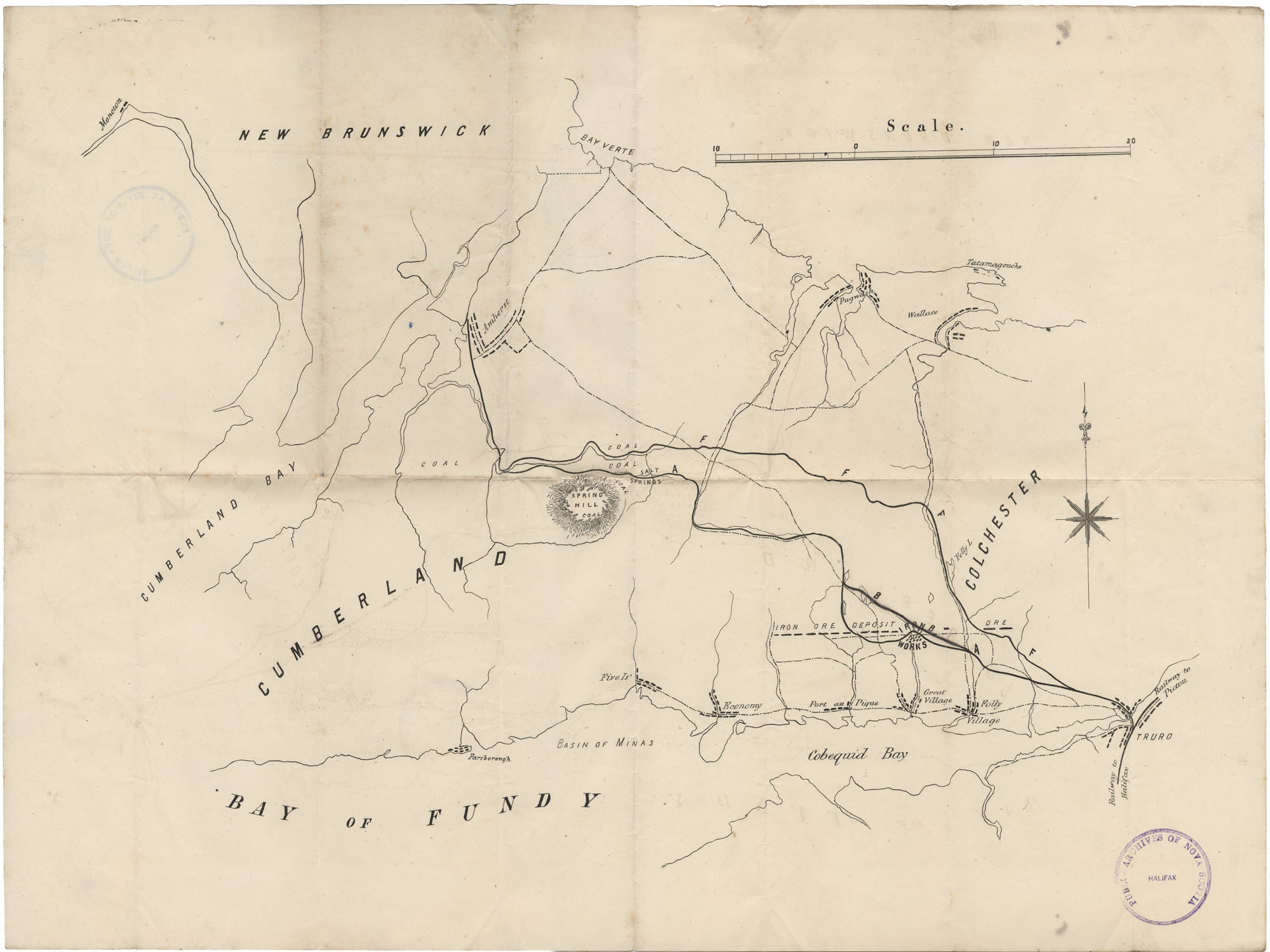
Cumberland County Wallace Harbour, Road from Wallace harbour to Londonderry, Londonderry, Economy District, Parsbourgh, Amherst Township and Gulf of St.Lawrence
Date:
Reference: Nova Scotia Archives Map Collection: F/230
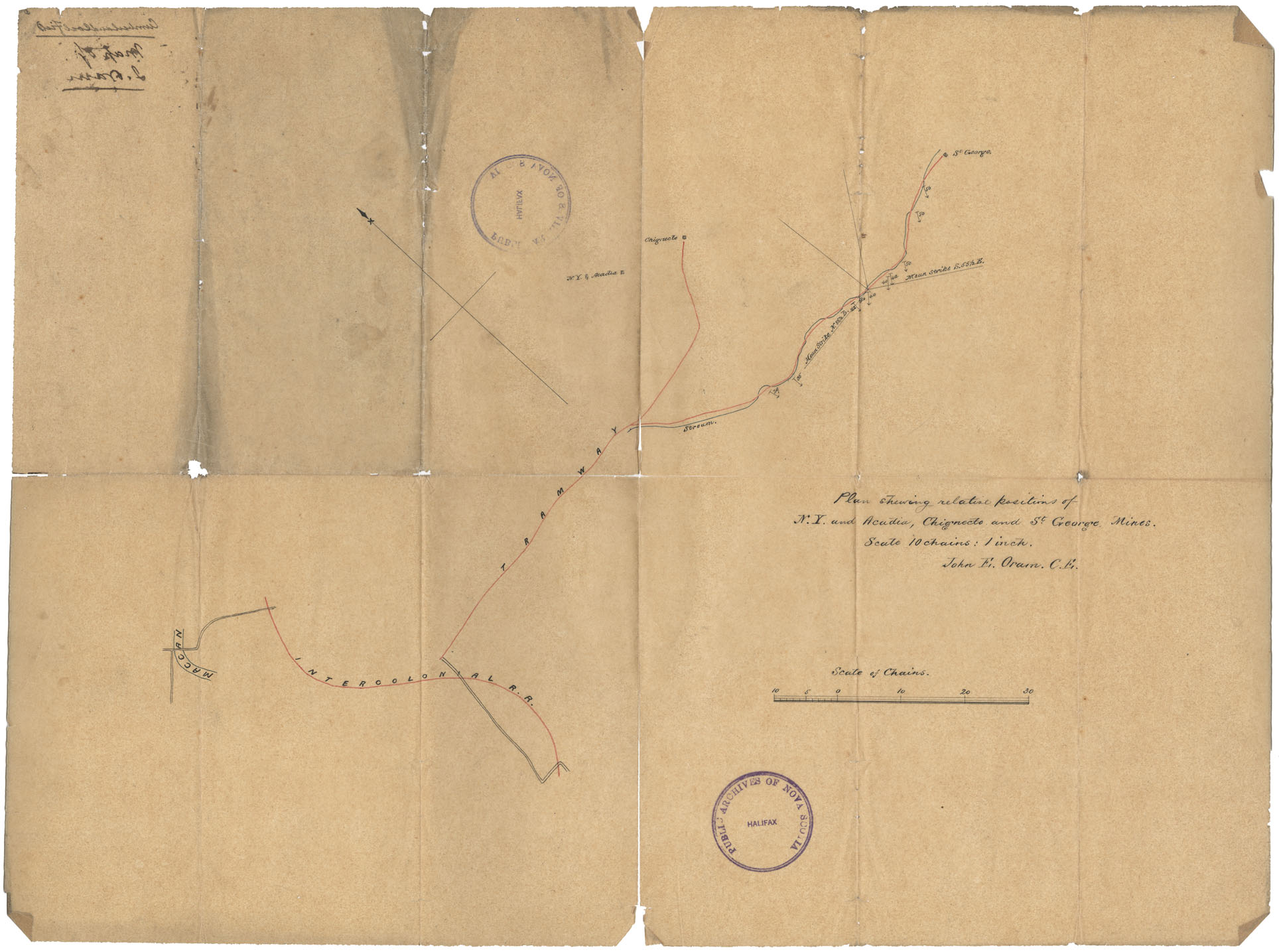
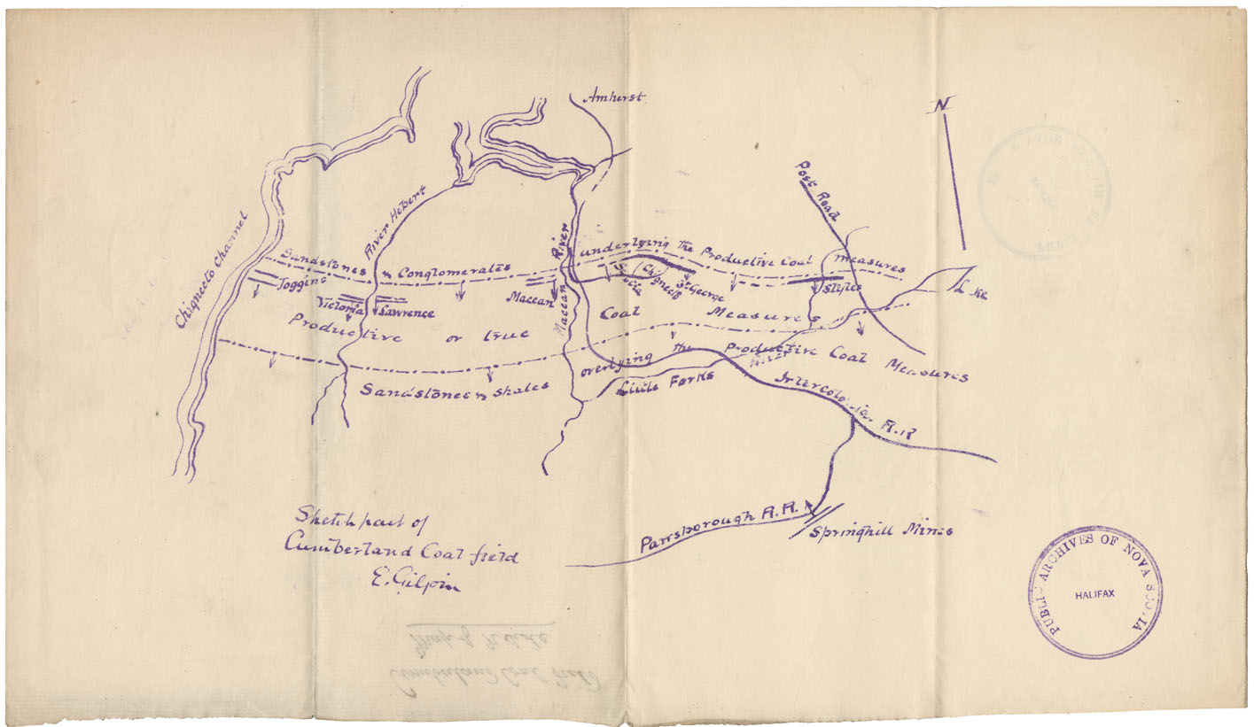
Plan showing relative positions of N.Y. Acadia, Chegnecto & St.George Mines, Cumb. Co
Date:
Reference: Nova Scotia Archives Map Collection: F/230