Nova Scotia Archives
Historical Maps of Nova Scotia
Results 16 to 30 of 296 from your search: V7
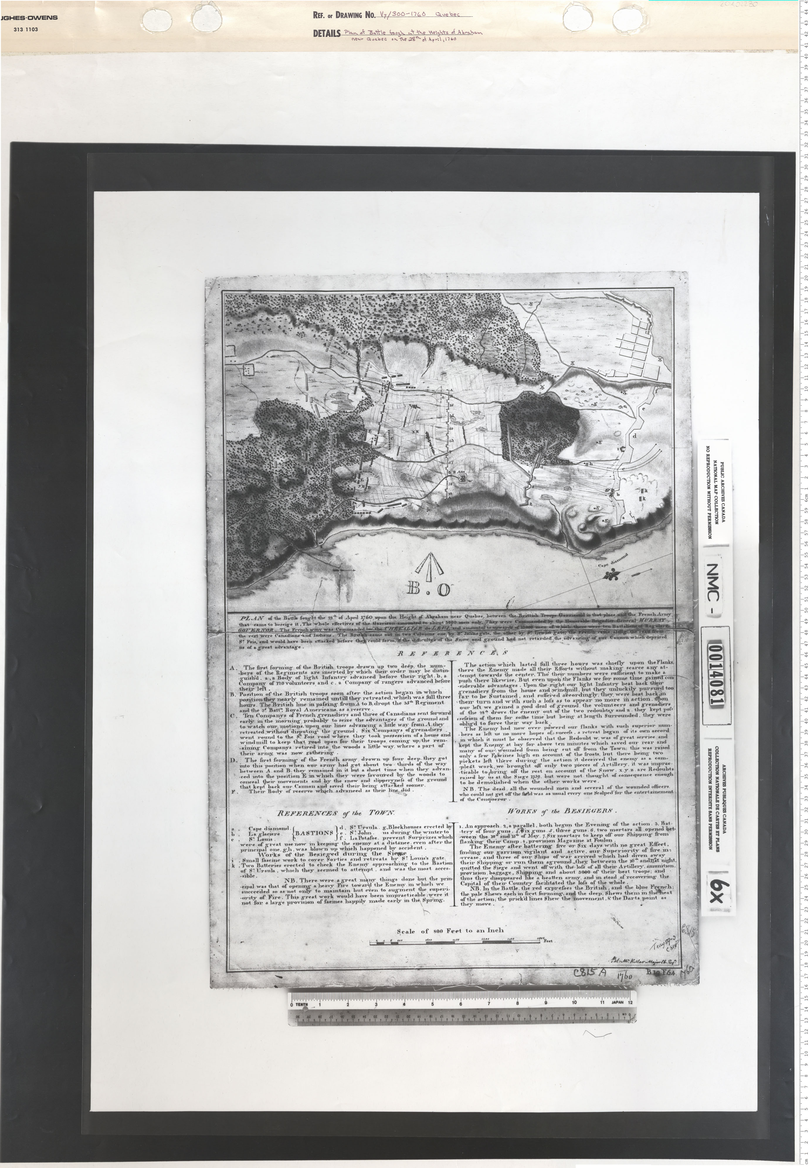
Plan of the Battle fought at the height of Abraham near Quebec on the 28th of April 1760
Date: 1760
Reference: Nova Scotia Archives Map Collection: V7 300 Quebec, Nova Scotia
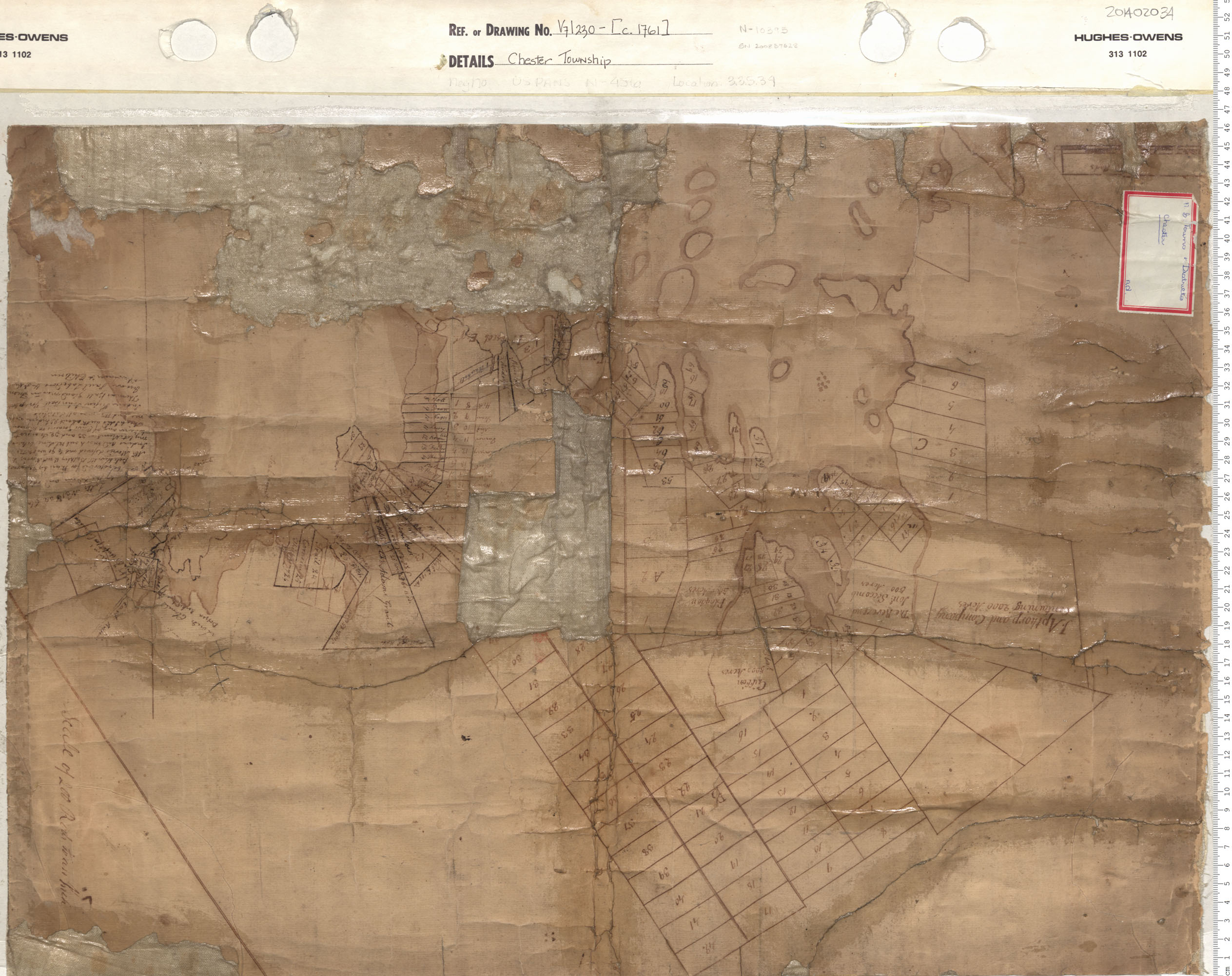
Chester Township
Date: 1761
Reference: Nova Scotia Archives Map Collection: V7 230 Chester, Nova Scotia
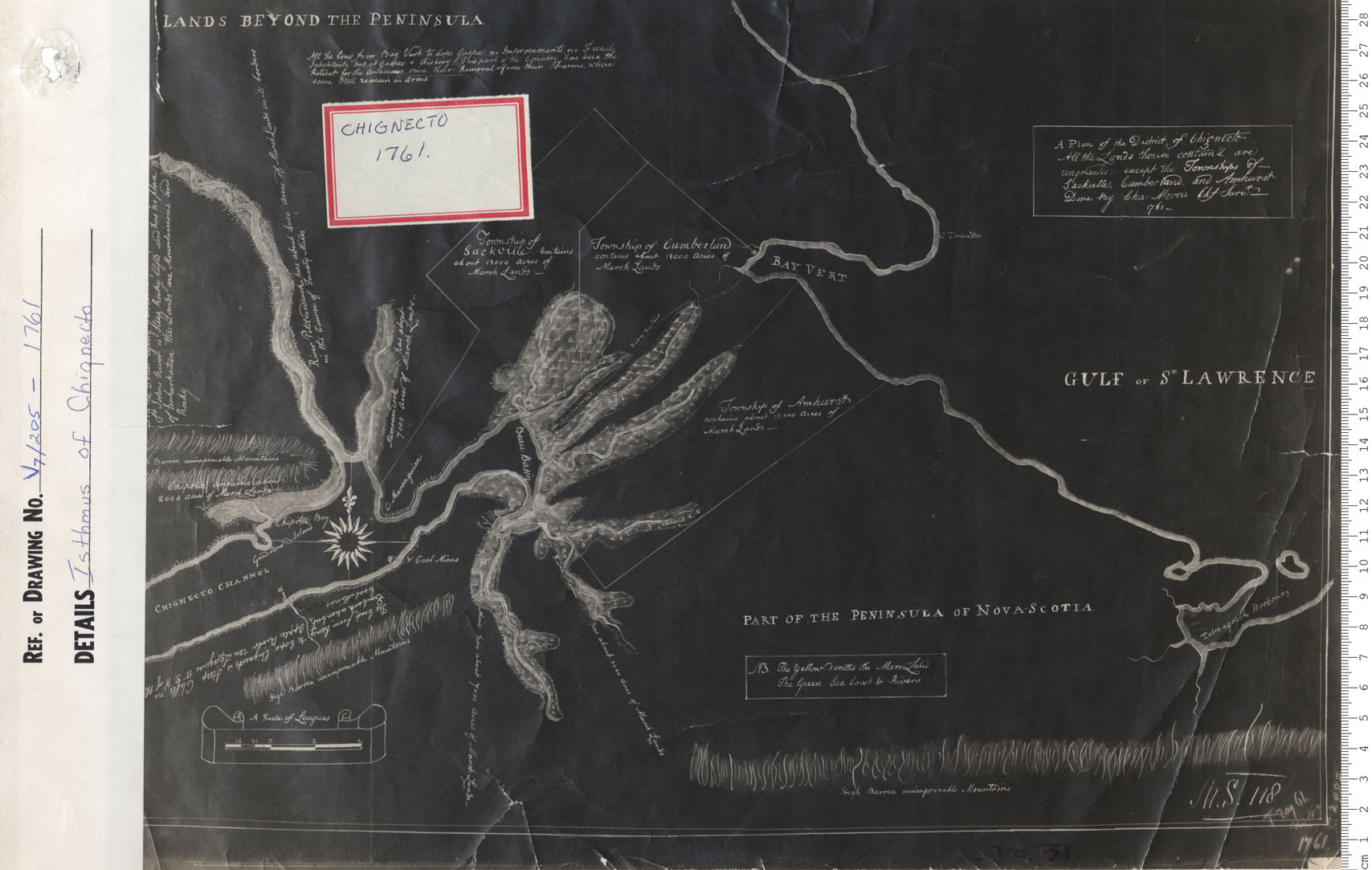
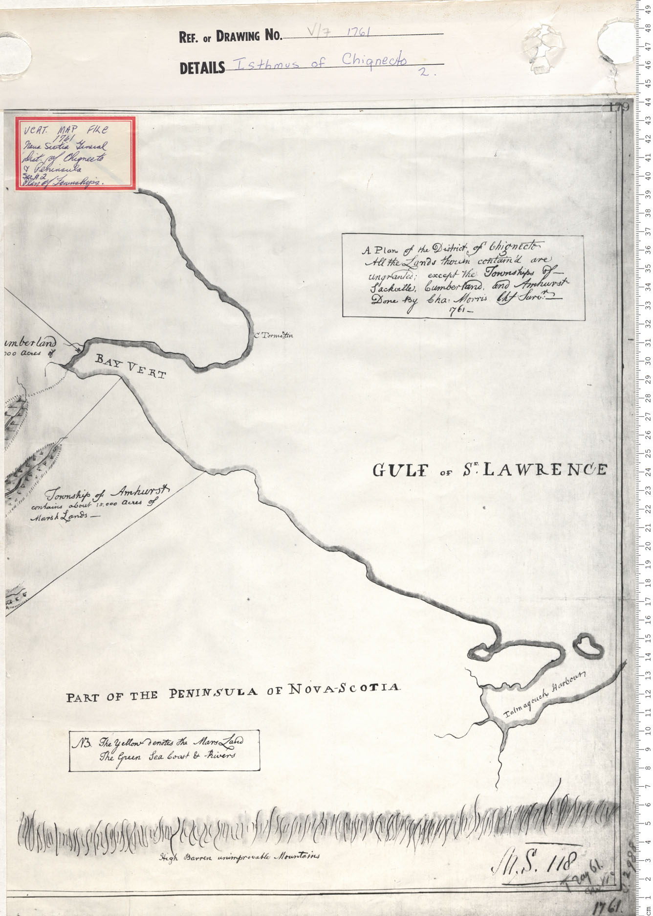
Isthmus of Chignecto
Date: 1761
Reference: Nova Scotia Archives Map Collection: V7 205 Chignecto, Nova Scotia
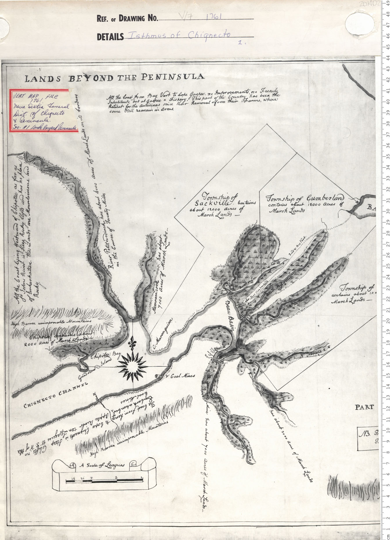
Isthmus of Chignecto
Date: 1761
Reference: Nova Scotia Archives Map Collection: V7 Chignecto, Nova Scotia
Isthmus of Chignecto
Date: 1761
Reference: Nova Scotia Archives Map Collection: V7 Chignecto, Nova Scotia
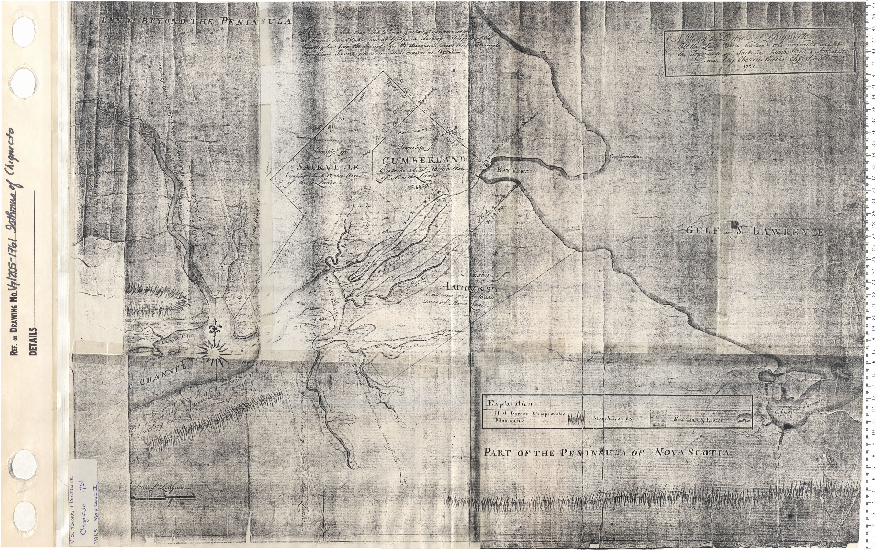
Isthmus of Chignecto
Date: 1761
Reference: Nova Scotia Archives Map Collection: V7 205 Chignecto, Nova Scotia
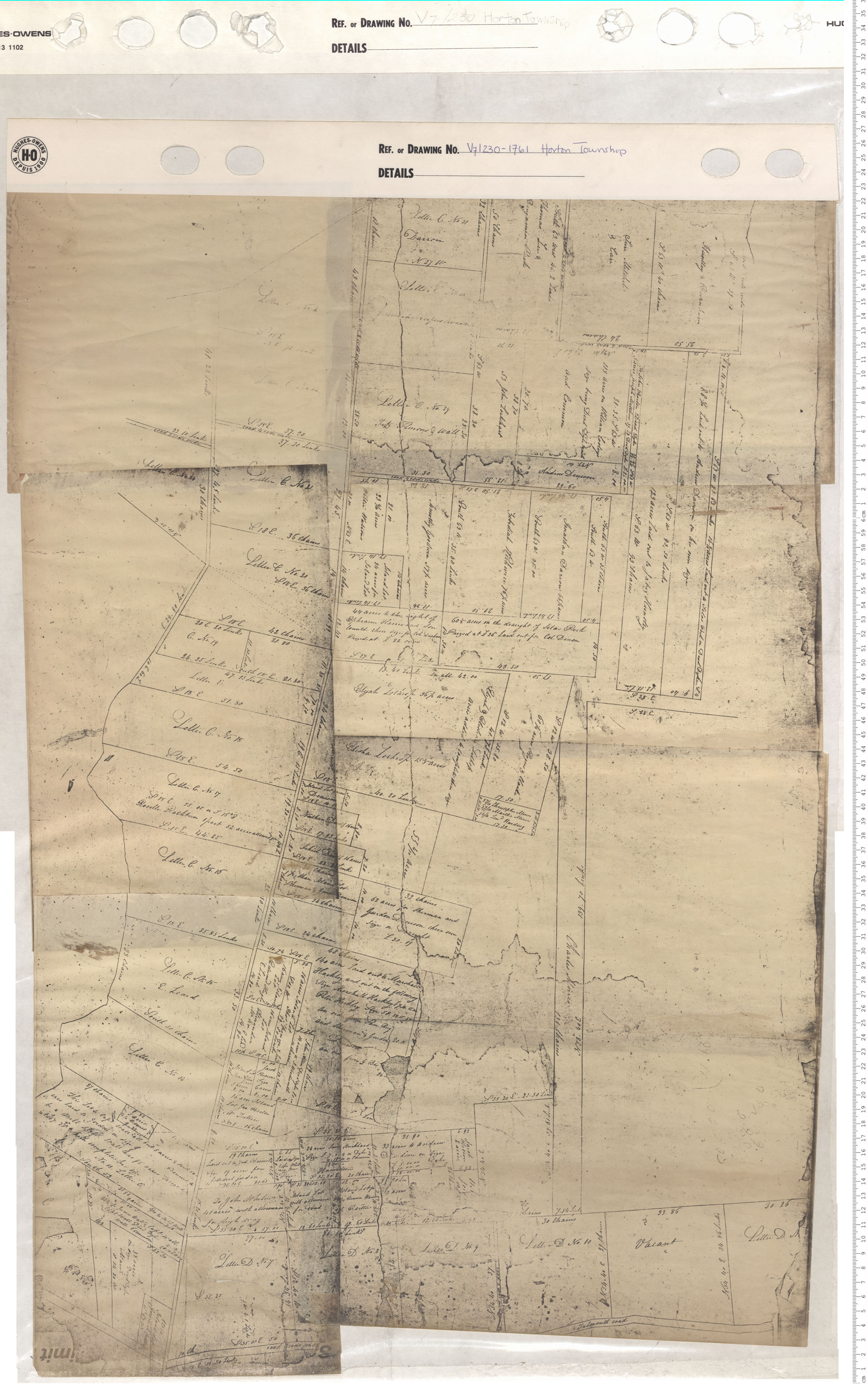
Horton Township
Date: 1761
Reference: Nova Scotia Archives Map Collection: V7 230 Horton Township, Nova Scotia
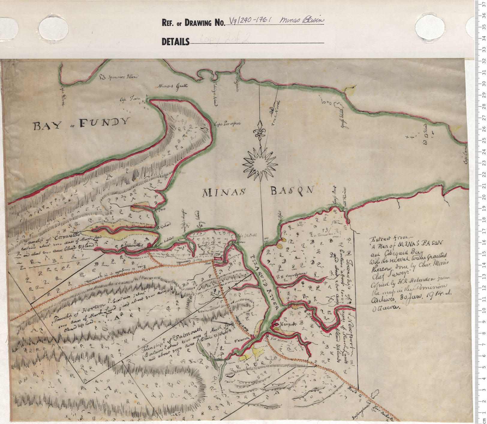
Plan of Minas Basin and Cobequid Bay
Date: 1761
Reference: Nova Scotia Archives Map Collection: V7 240 Minas Basin, Nova Scotia
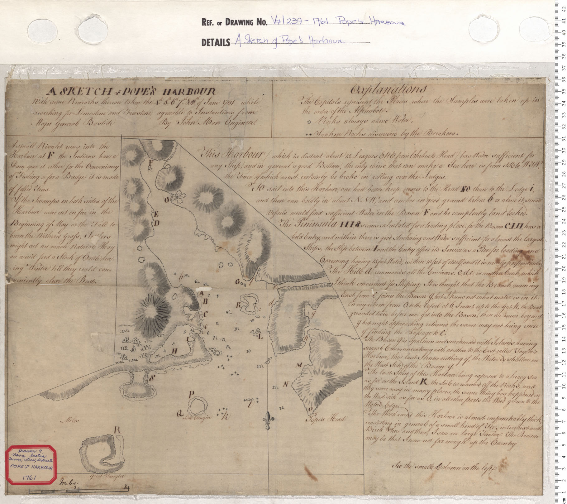
A Sketch of Pope's Harbour
Date: 1761
Reference: Nova Scotia Archives Map Collection: V7 239 Pope's Harbour, Nova Scotia
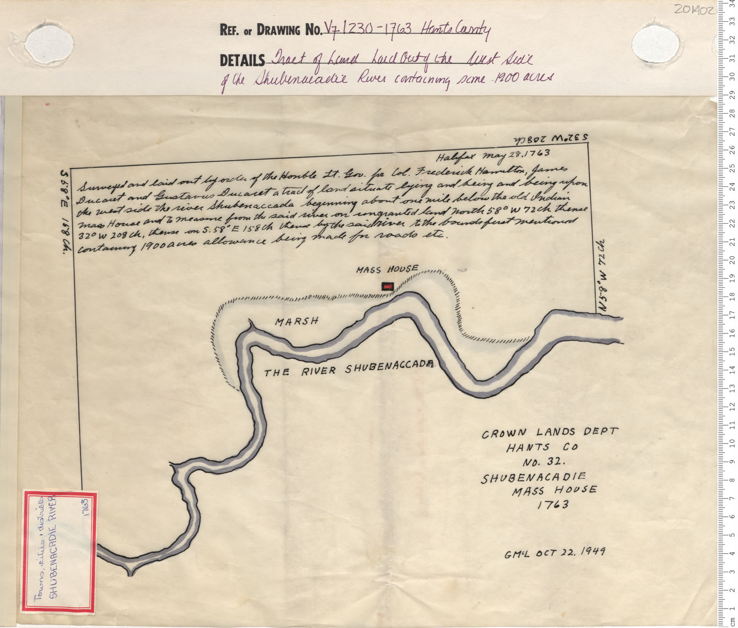
Tract of Land Laid Out of the West Side Of the Shubenacadie River containing some 1900 acres
Date: 1763
Reference: Nova Scotia Archives Map Collection: V7 230 Hants County, Nova Scotia
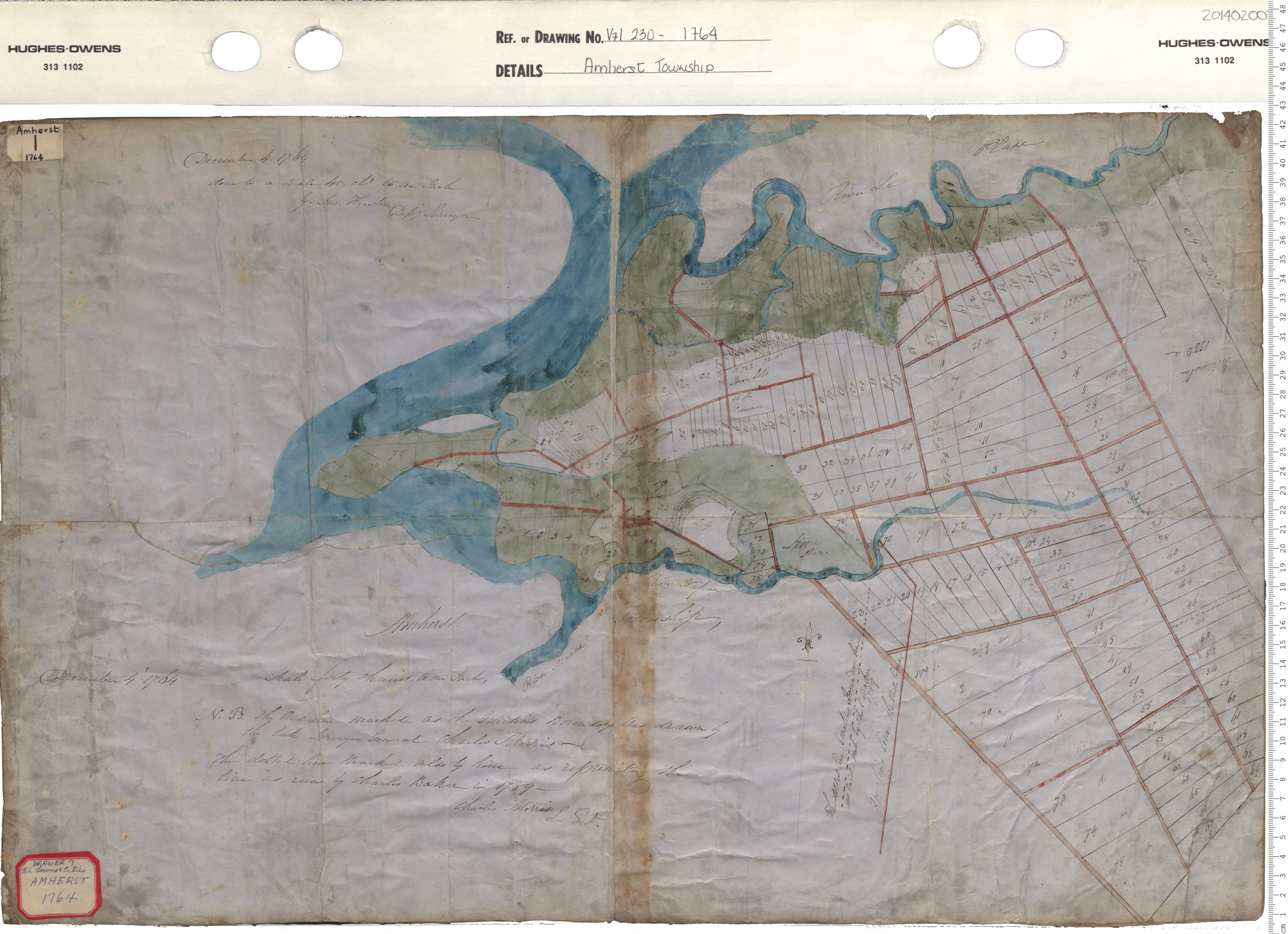
Amherst Township
Date: 1764
Reference: Nova Scotia Archives Map Collection: V7 230 Amherst Township, Nova Scotia
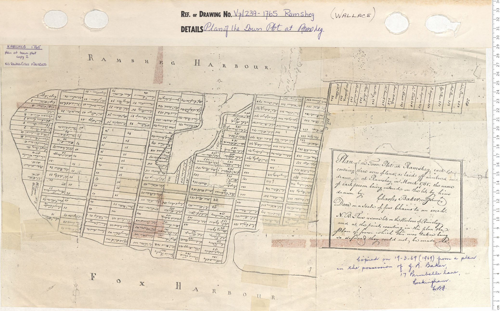
Plan of the Town Plot at Ramsheg
Date: 1765
Reference: Nova Scotia Archives Map Collection: V7 239 Ramsheg Wallace, Nova Scotia
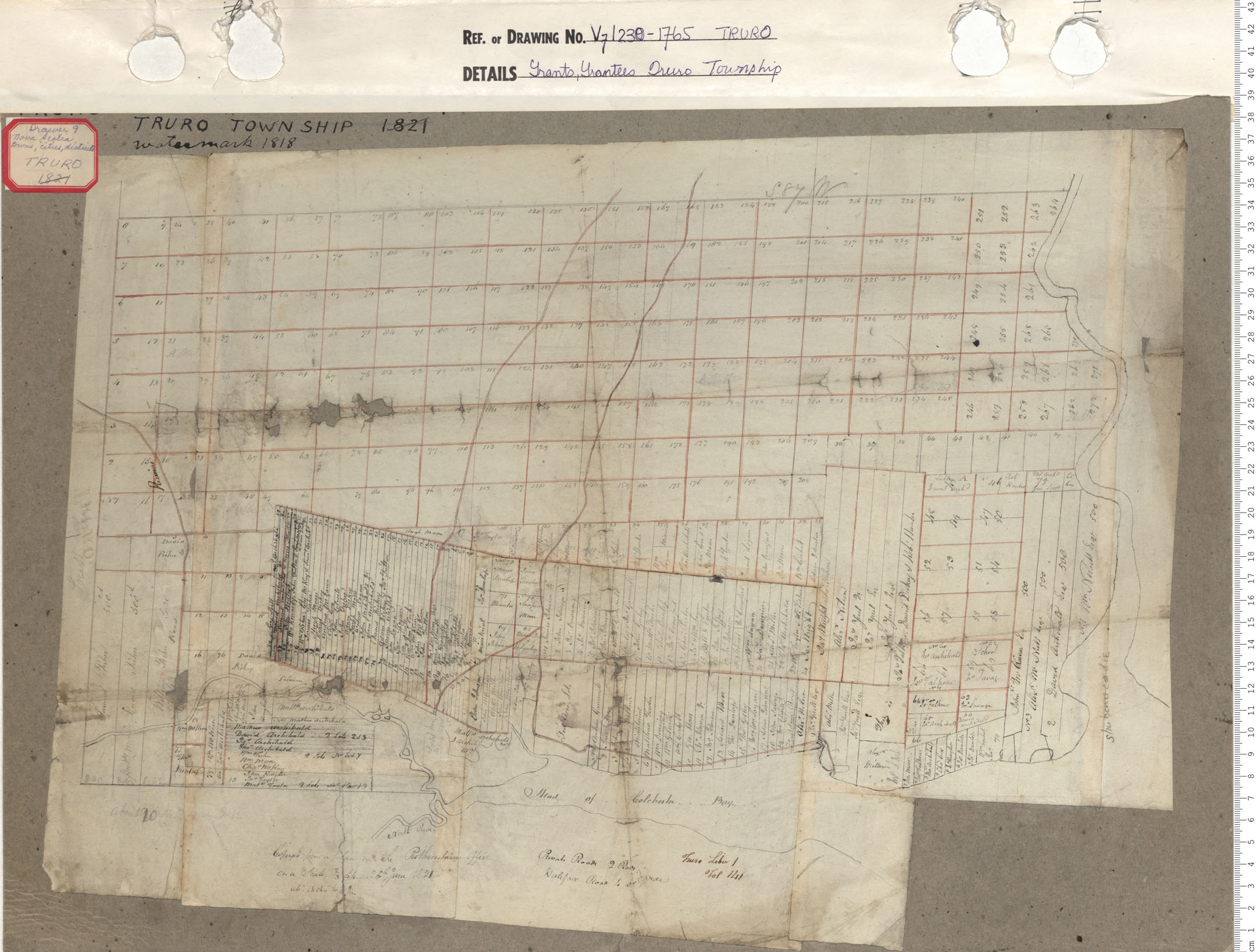
Grants, Grantees of Truro township
Date: 1765
Reference: Nova Scotia Archives Map Collection: V7 239 Truro, Nova Scotia
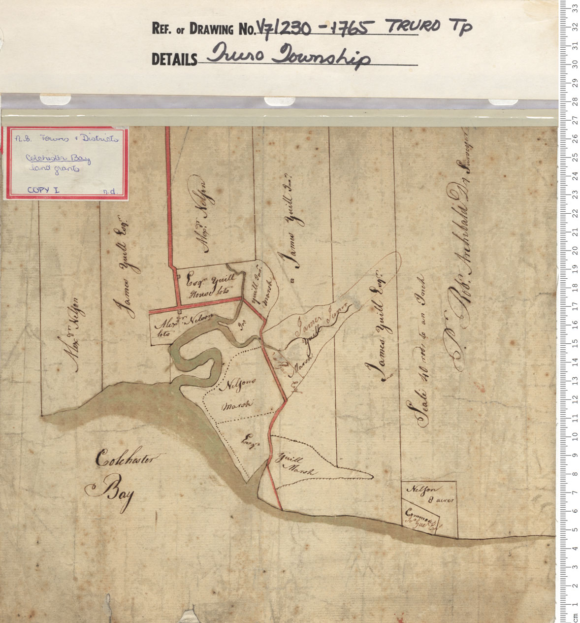
Truro Township: Land Grants of Alex Nelson 2 James Yuill
Date: 1765
Reference: Nova Scotia Archives Map Collection: V7 230 Truro, Nova Scotia
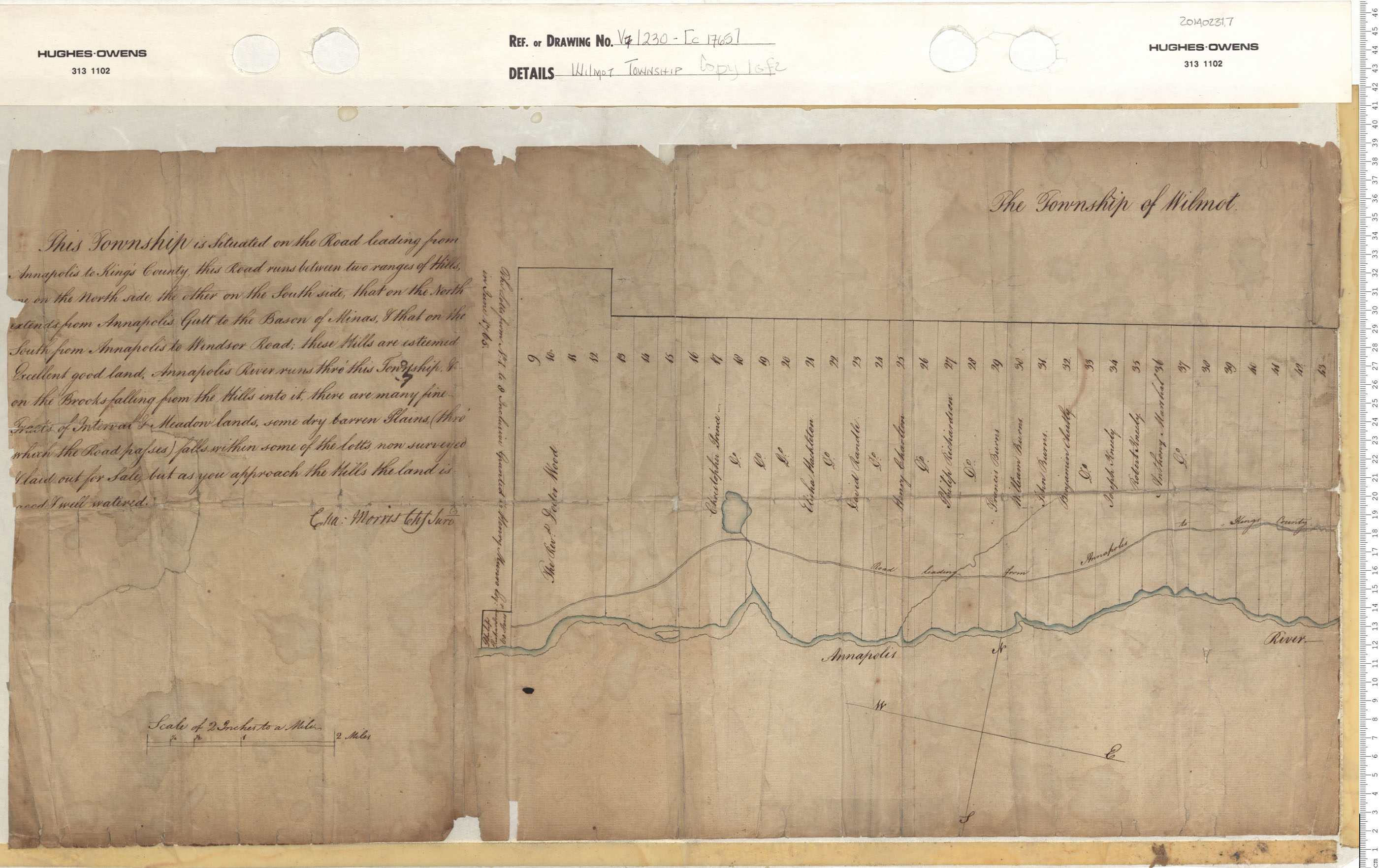
Wilmot Township
Date: 1765
Reference: Nova Scotia Archives Map Collection: V7 230 Wilmot, Nova Scotia
