Nova Scotia Archives
Historical Maps of Nova Scotia
Results 631 to 645 of 905 from your search: 1800
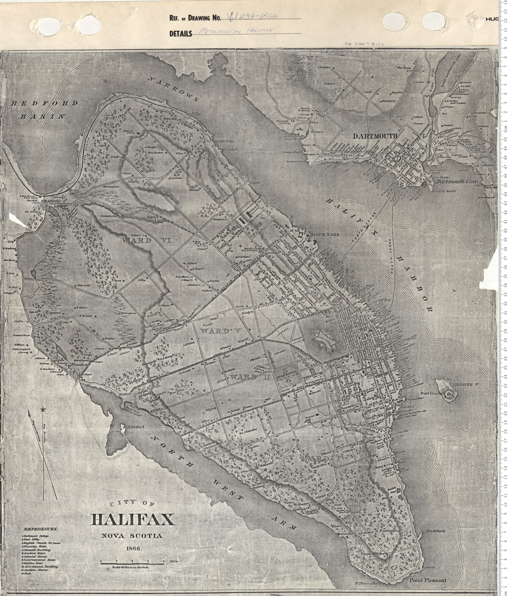
Metropolitan Halifax
Date: 1866
Reference: Nova Scotia Archives Map Collection: V6 240 Halifax, Nova Scotia
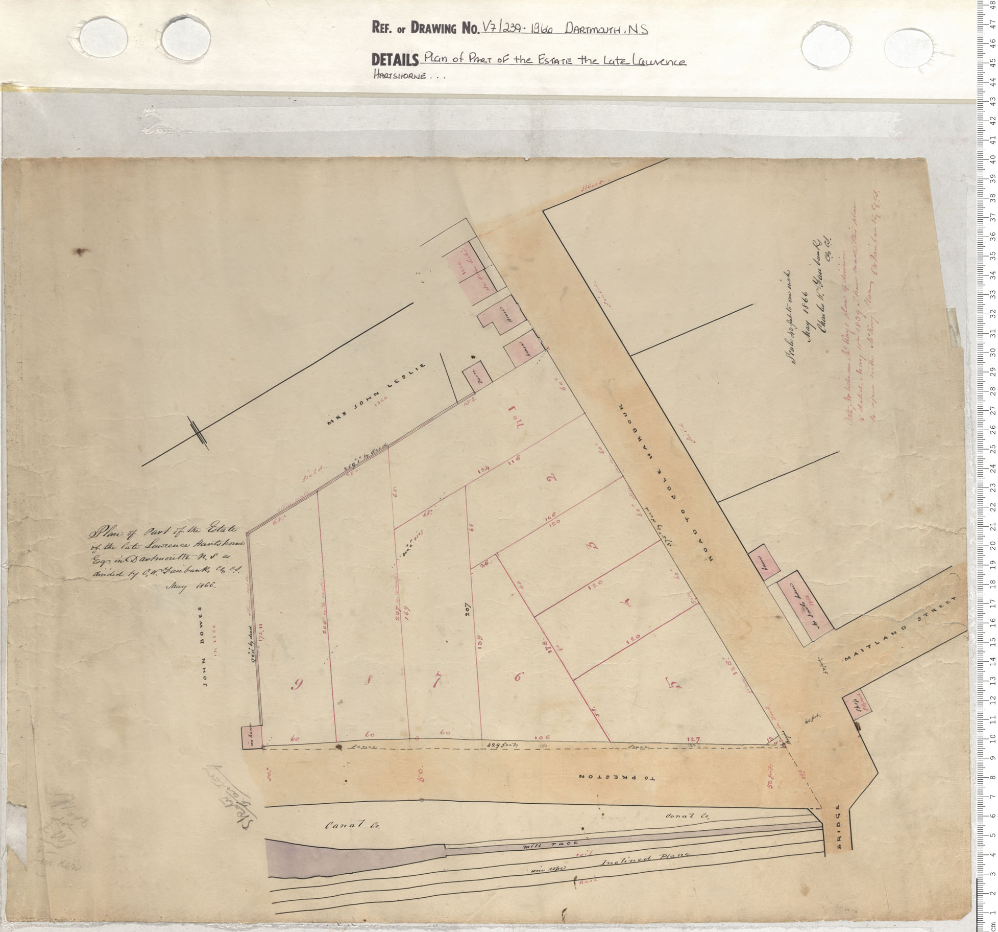
Plan of Part of the Estate the Late Lawrence Hartshorne…
Date: 1866
Reference: Nova Scotia Archives Map Collection: V7 239 Dartmouth, Nova Scotia
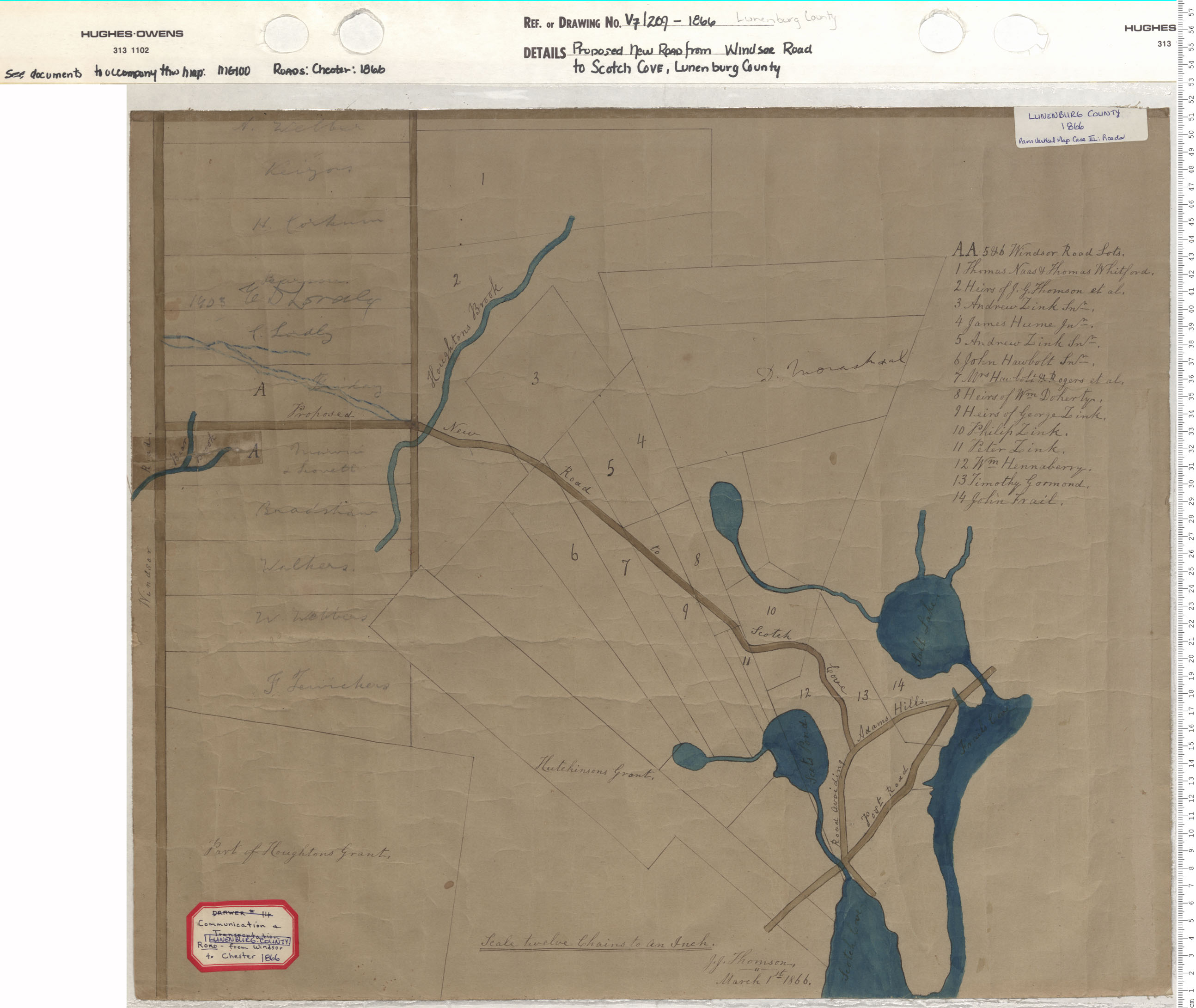
Proposed New Road from Windsor Road to Scotch Cove, Lunenburg County
Date: 1866
Reference: Nova Scotia Archives Map Collection: V7 209 Lunenburg County, Nova Scotia
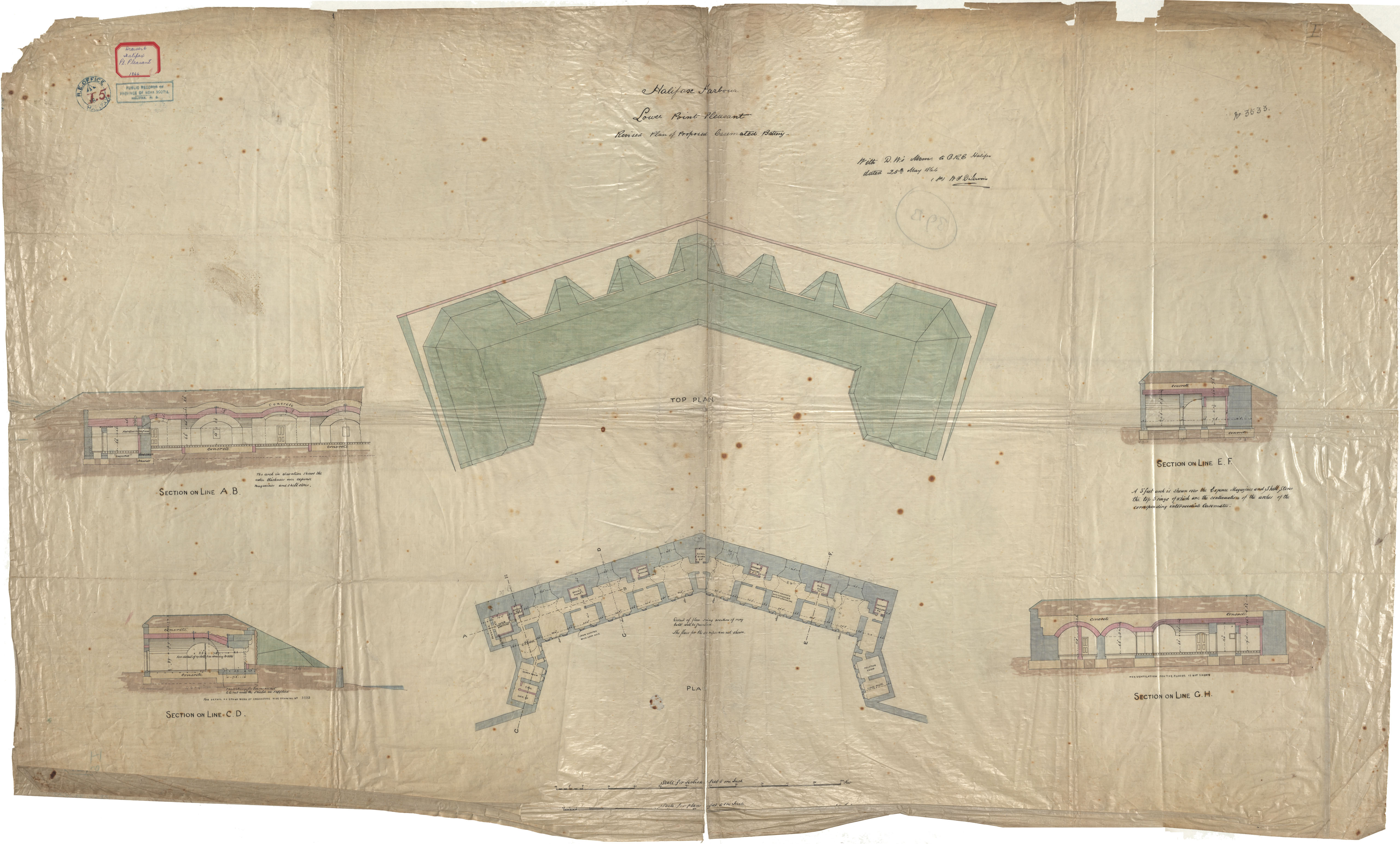
Point Pleasant Battery
Date: 25 May 1866
Reference: Nova Scotia Archives Royal Engineers Maps and Plans I.5
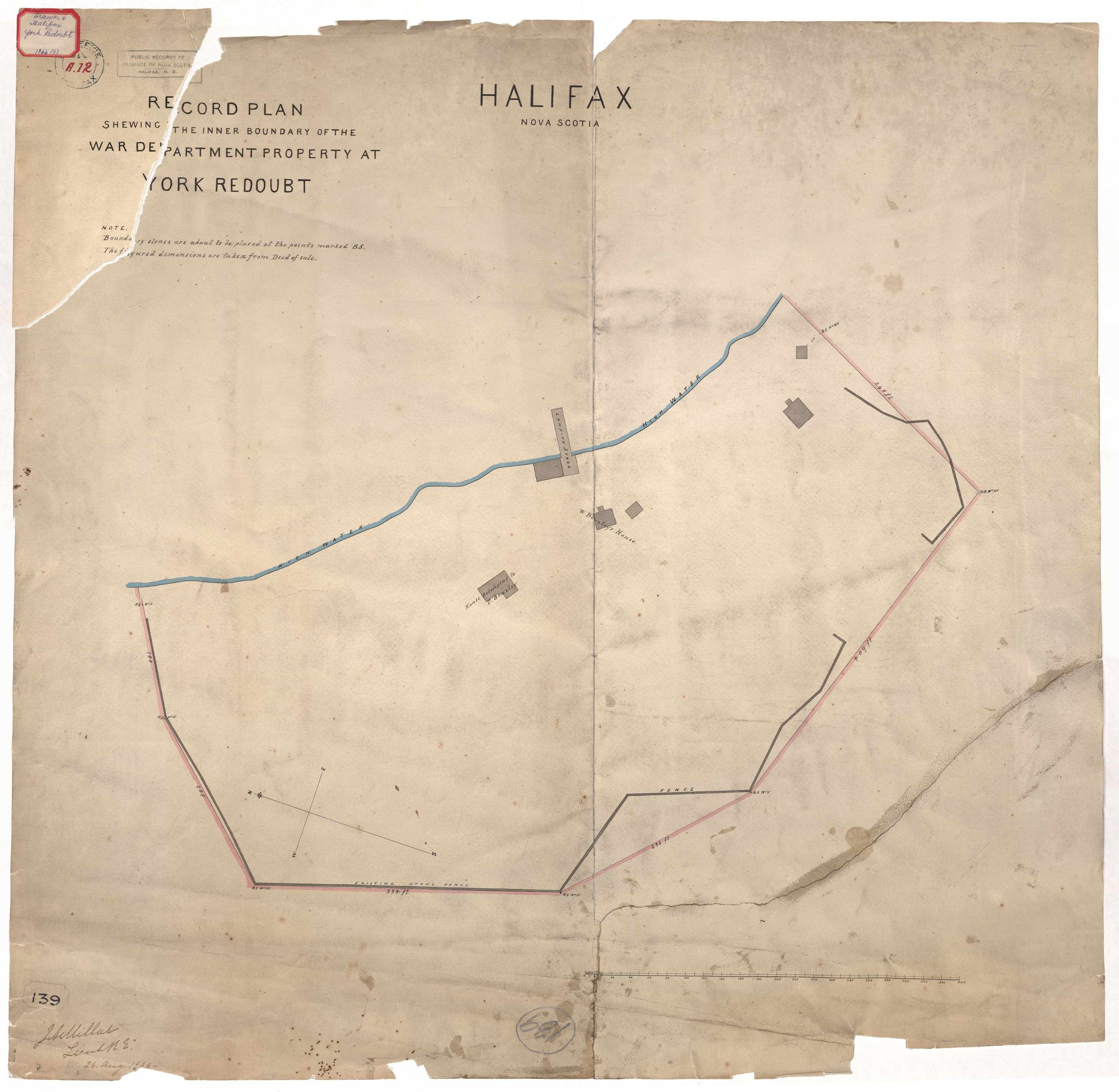
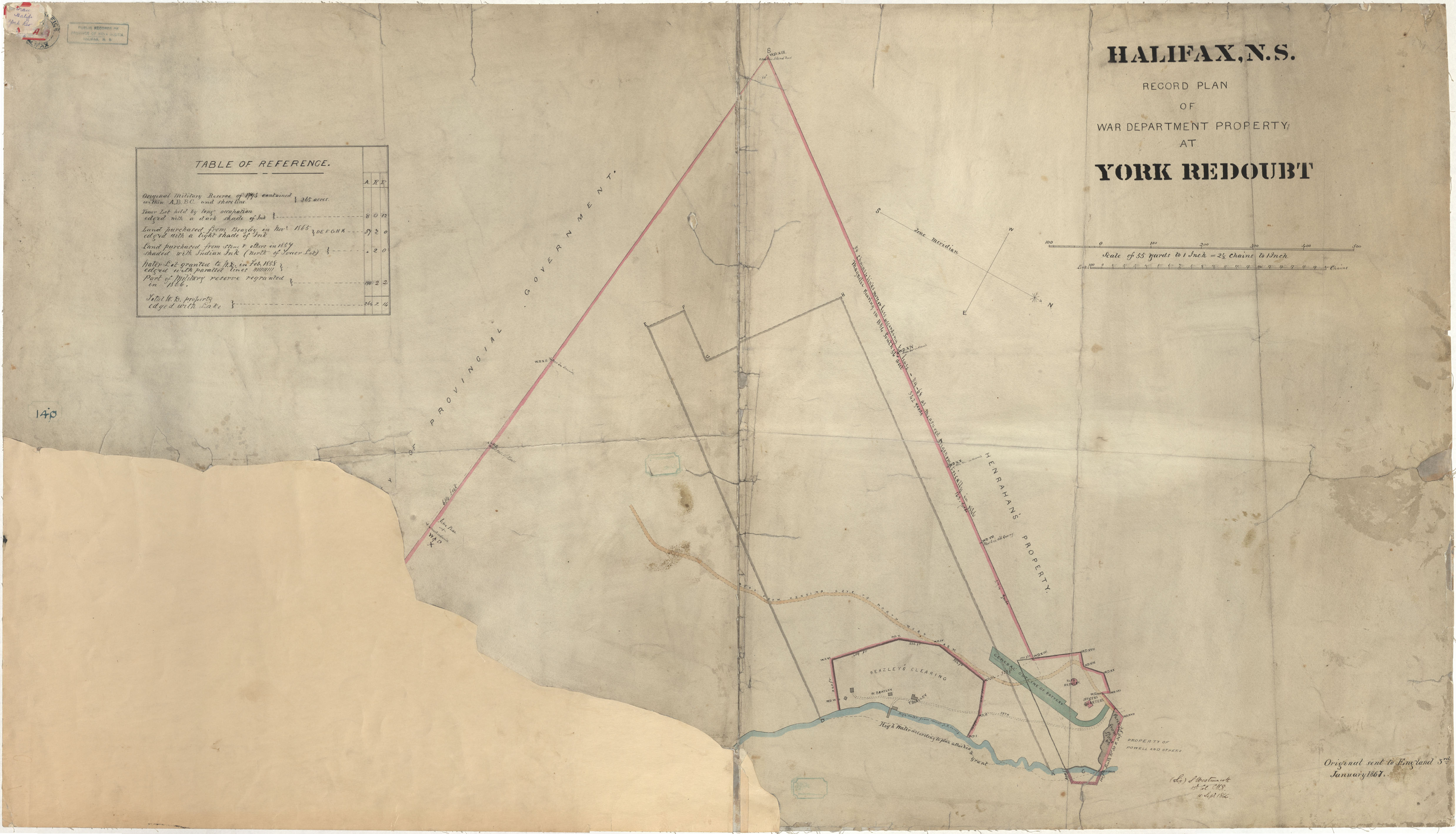
York Redoubt
Date: 26 August 1866
Reference: Nova Scotia Archives Royal Engineers Maps and Plans A.12
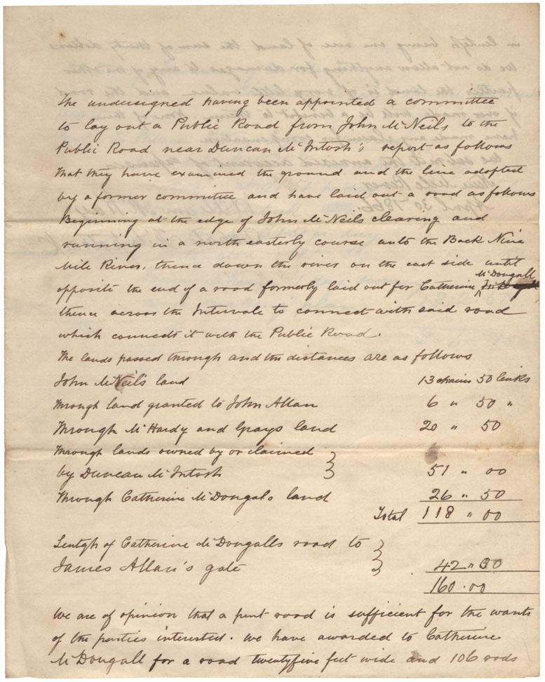
Plan of Road laid out from John McNeil's to Catherine M'Dougall
Date: 1866
Reference: Nova Scotia Archives Map Collection: F/209 - 1866
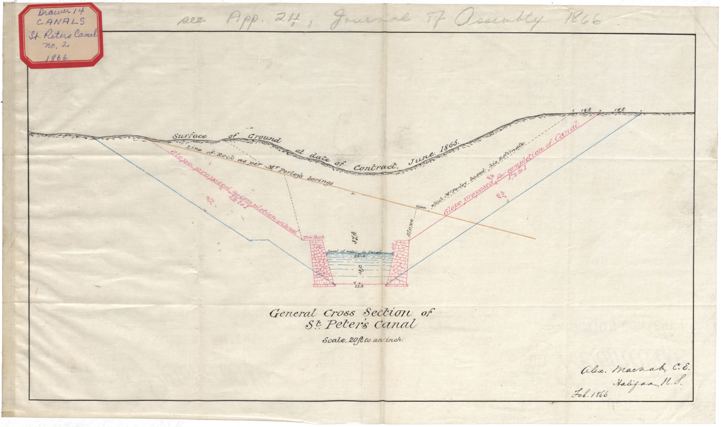
General Cross Section of St. Peter's Canal Feb 1866
Date: 1866
Reference: Nova Scotia Archives Map Collection: F/210 - 1866
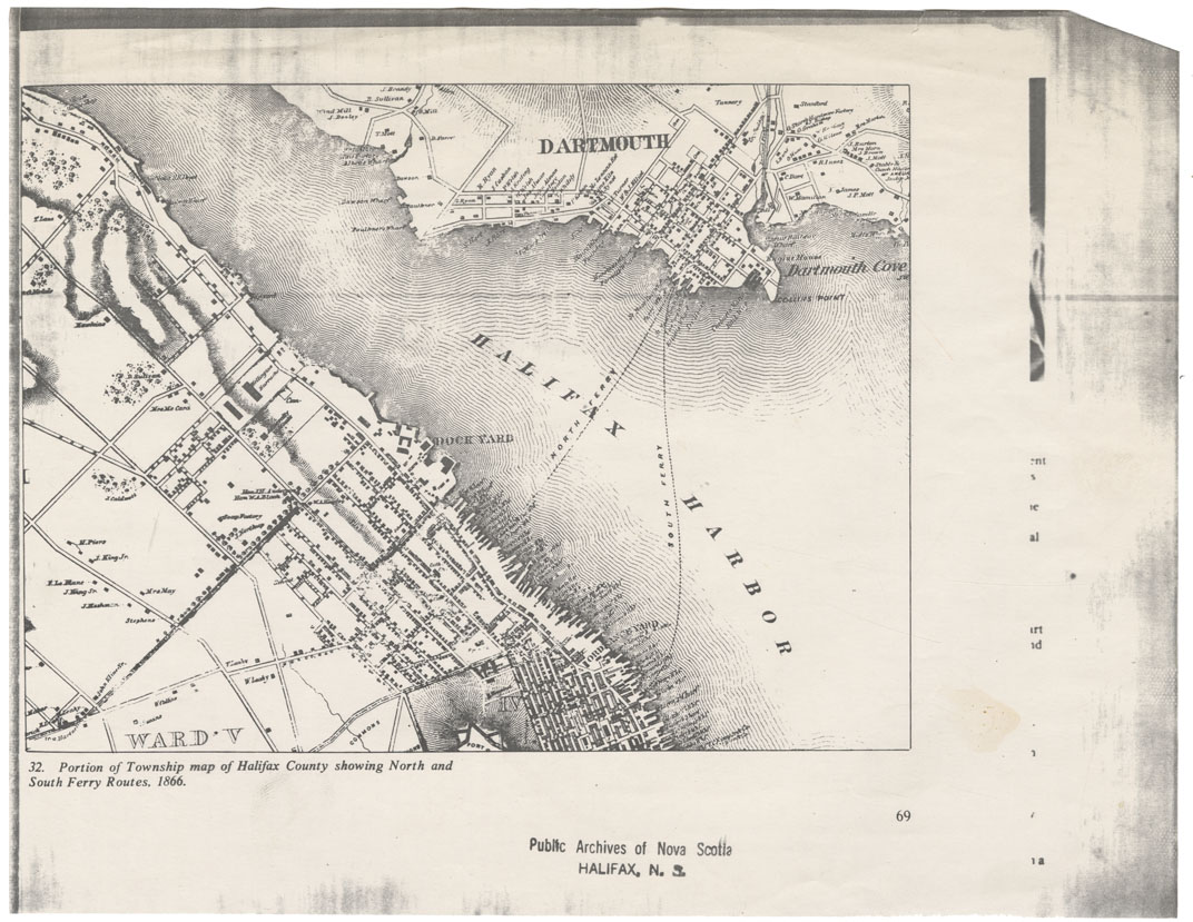
Portion of township Map of Halifax County showing North and South Ferry Routes, 1866
Date: 1866
Reference: Nova Scotia Archives Map Collection: F/239 - 1866
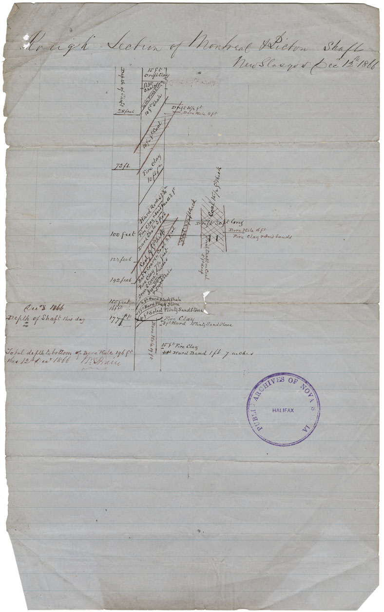
Rough Section of Montreal & Pictou Shaft, New Glasgow, Pictou Co
Date: 12 December 1866
Reference: Nova Scotia Archives Map Collection: F/239 - 1866
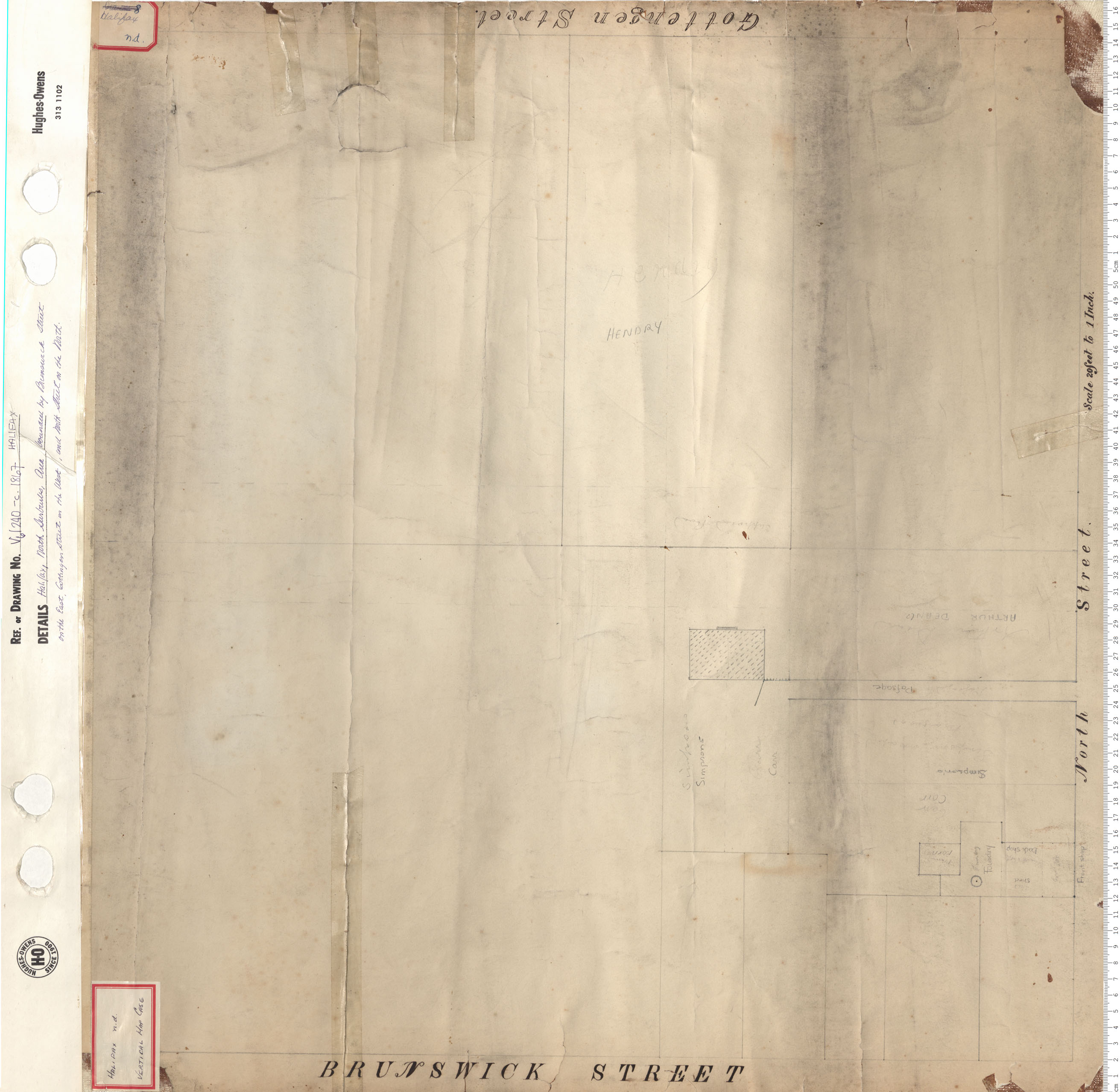
North Suburbs Area bounderd by Brunswick Street on the East, Gottingen on the west, and North Street on the North
Date: 1867
Reference: Nova Scotia Archives Map Collection: V6 240 Halifax, Nova Scotia
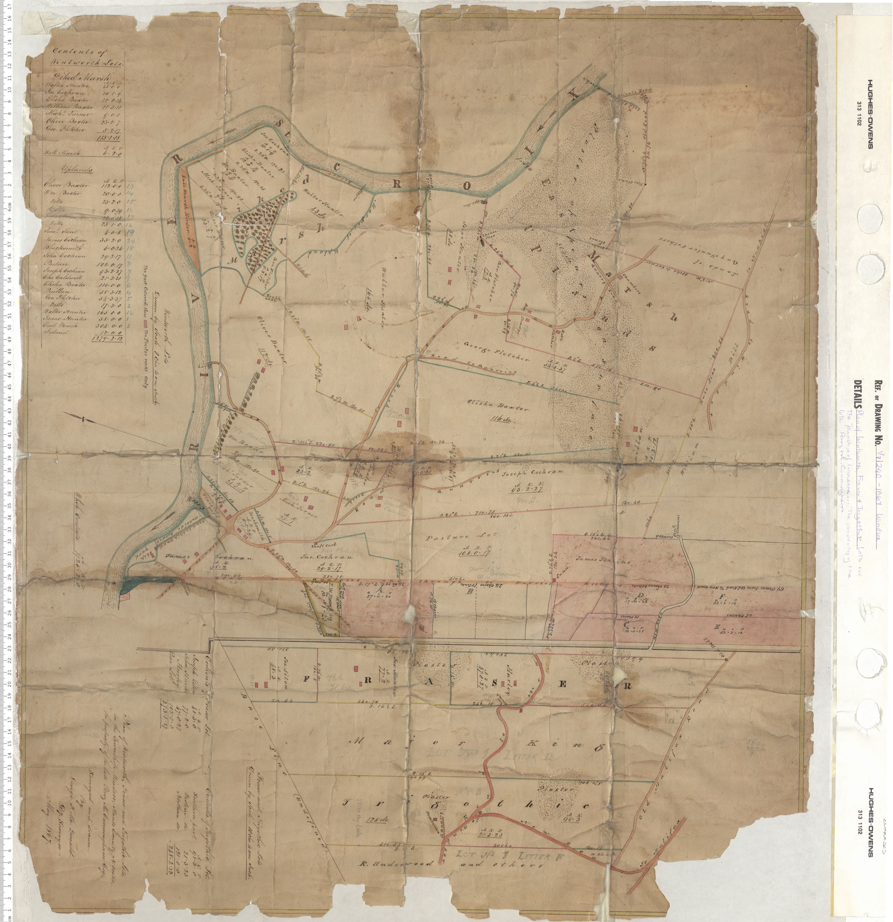
Plan of Wentworth, Fraiser and Trigothic Lots in the township of Windsor…The property of the late Perez M. Cunningham
Date: 1867
Reference: Nova Scotia Archives Map Collection: V7 240 Windsor, Nova Scotia
