Nova Scotia Archives
Historical Maps of Nova Scotia
Results 661 to 675 of 905 from your search: 1800
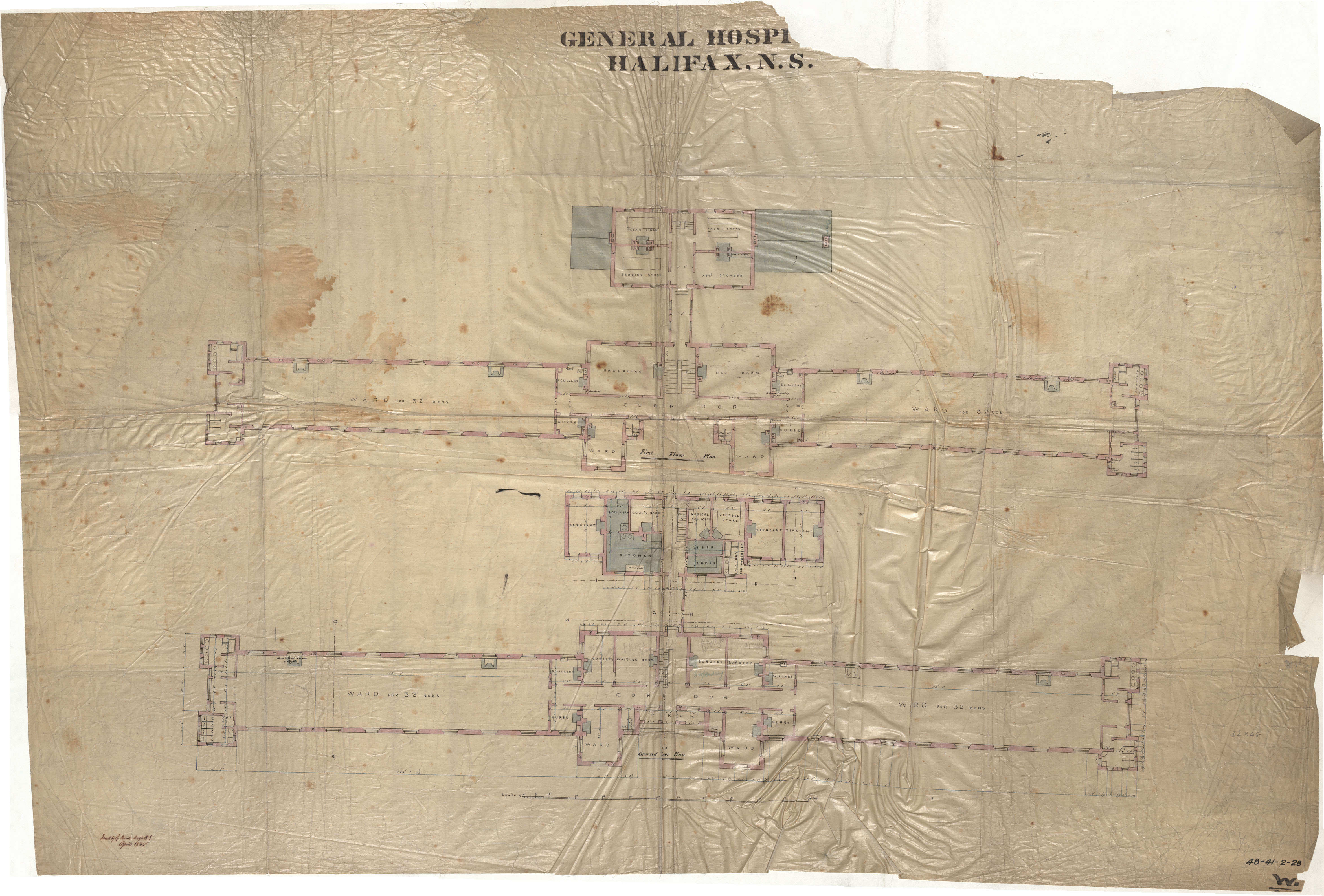
General Hospital
Date: April 1868
Reference: Nova Scotia Archives Royal Engineers Maps and Plans 48 - 41 - 2 - 28
Plan of a road laid out by committee between Rd to Balnar and 9 mile river.
Date: March 1868
Reference: Nova Scotia Archives Map Collection: F/209 - 1868
Map of the Pictou Coal Fields
Date: 1868
Reference: Nova Scotia Archives Map Collection: F/230 - 1868
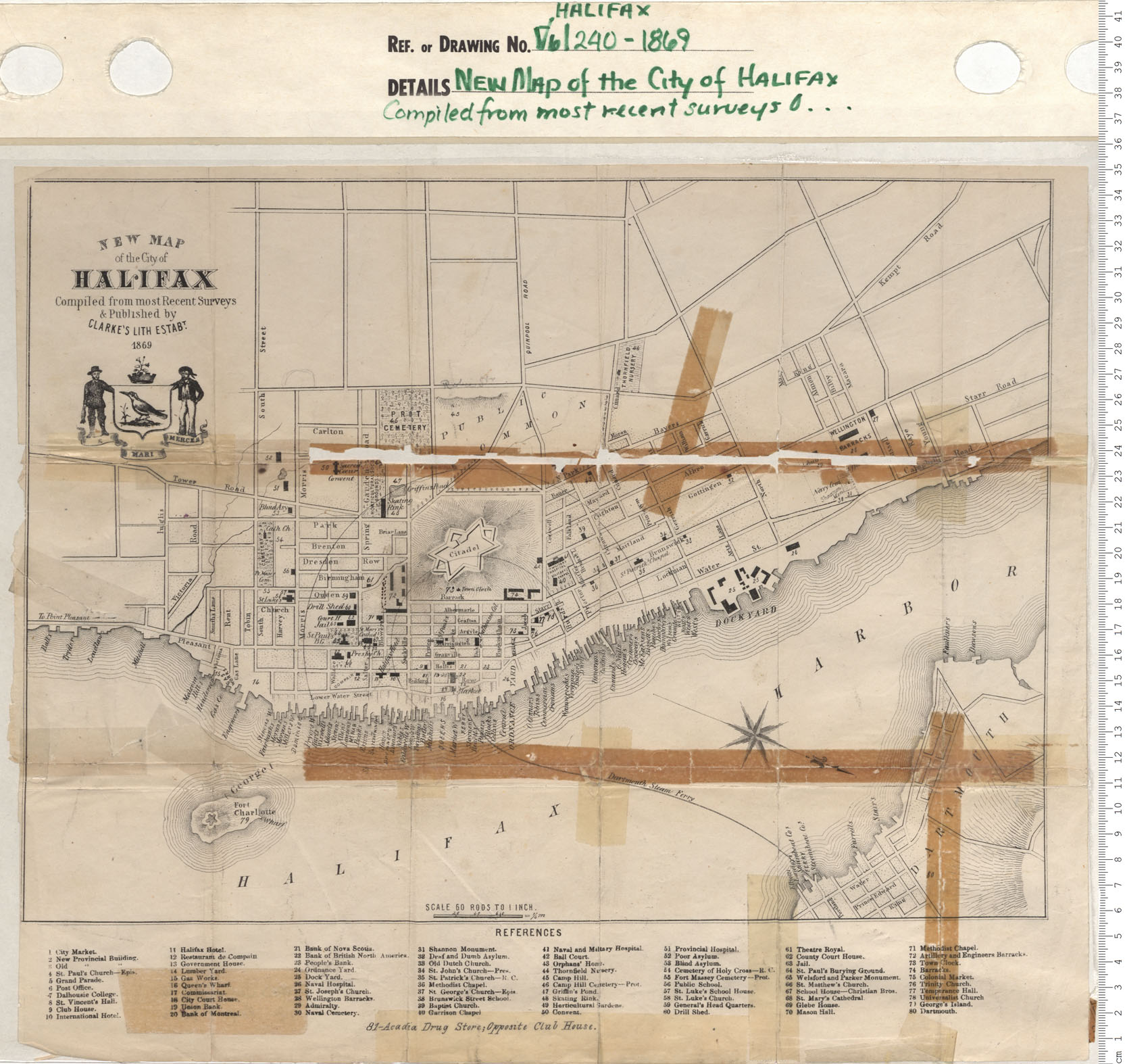
New Map of the City of Halifax Compiled from the most recent Surveys…
Date: 1869
Reference: Nova Scotia Archives Map Collection: V6 240 Halifax, Nova Scotia
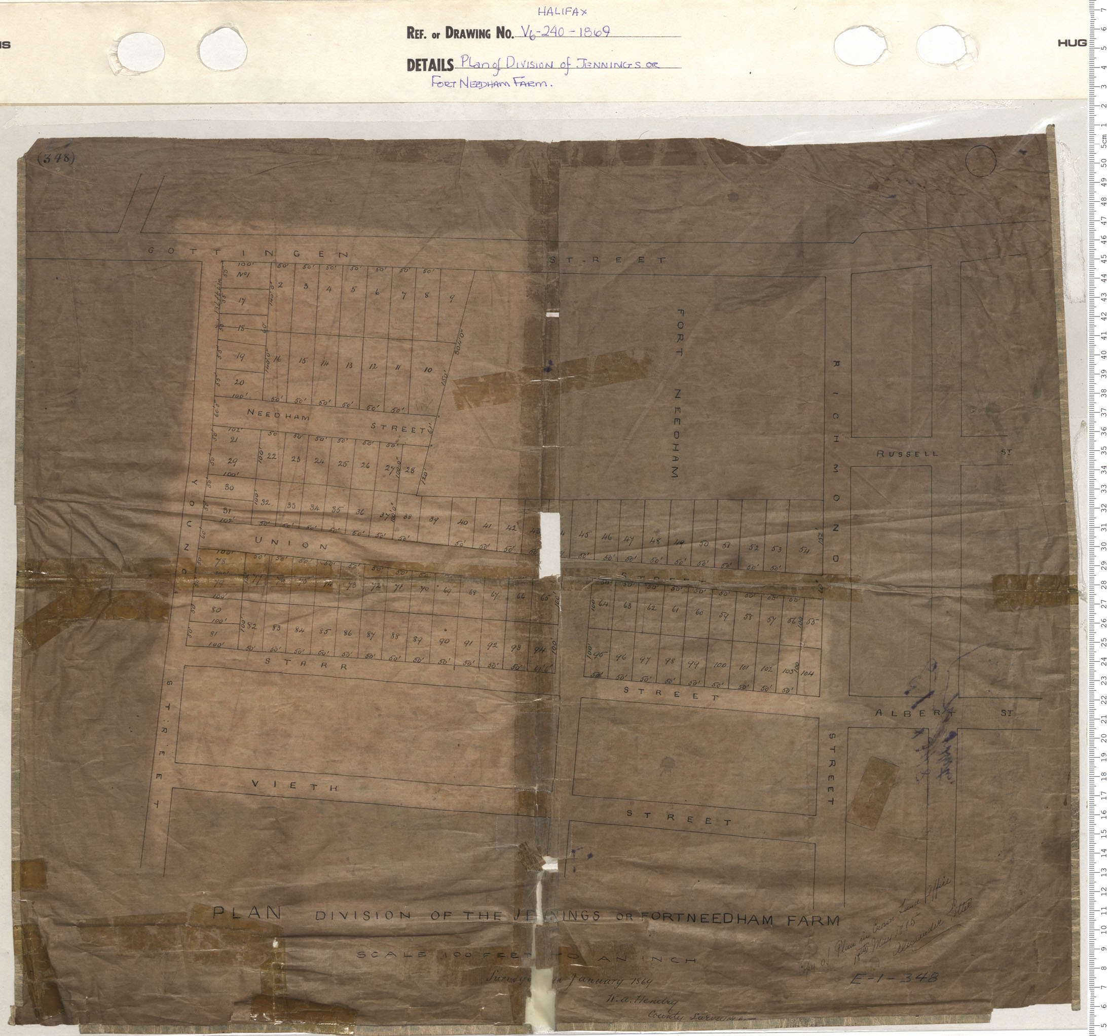
Plan of Division of Jennings or Fort Needham Farm
Date: 1869
Reference: Nova Scotia Archives Map Collection: V6 240 Halifax, Nova Scotia
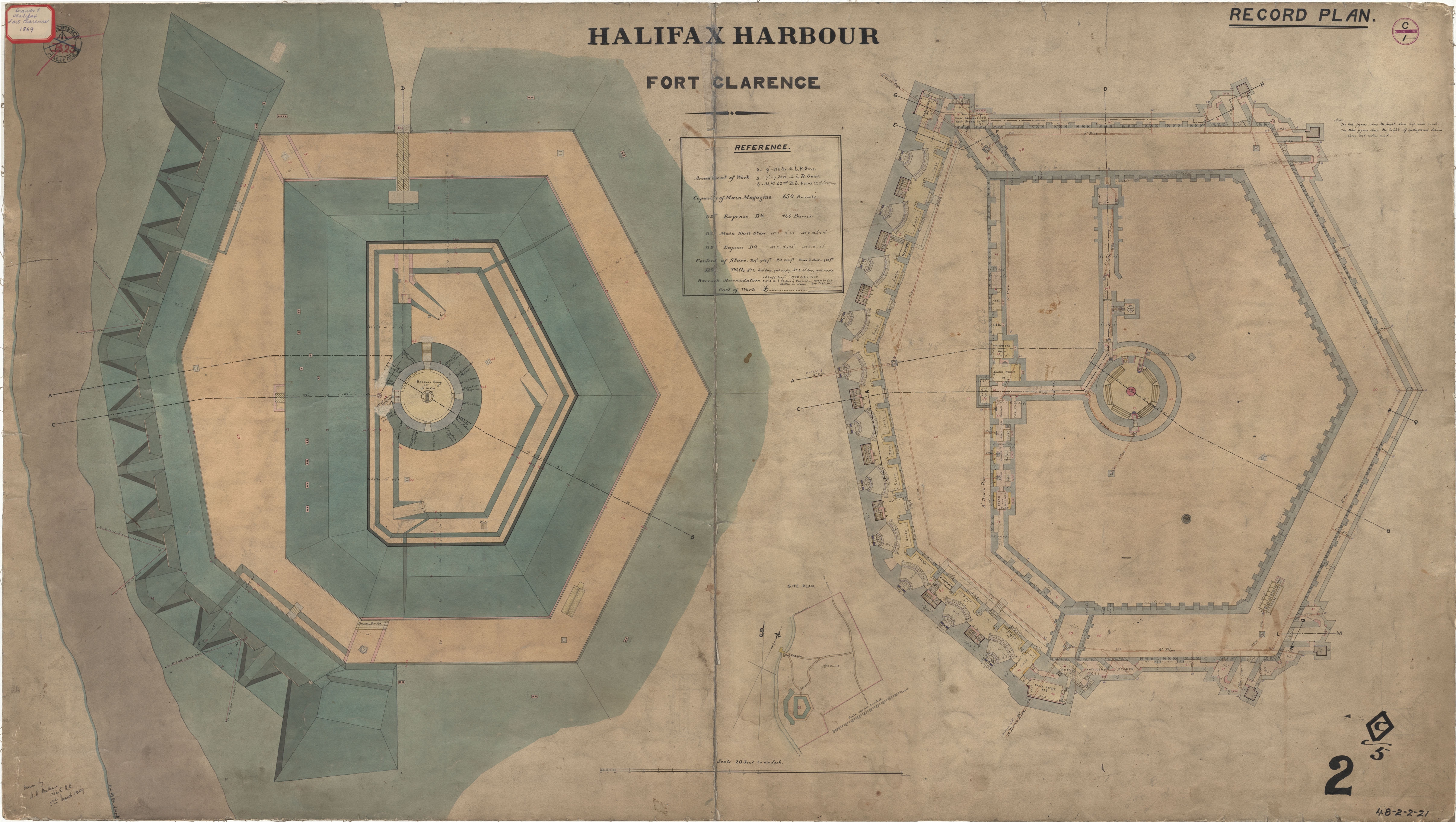
Fort Clarence - Record Plan
Date: 2 March 1869
Reference: Nova Scotia Archives Royal Engineers Maps and Plans 48 - 2 - 2 - 21
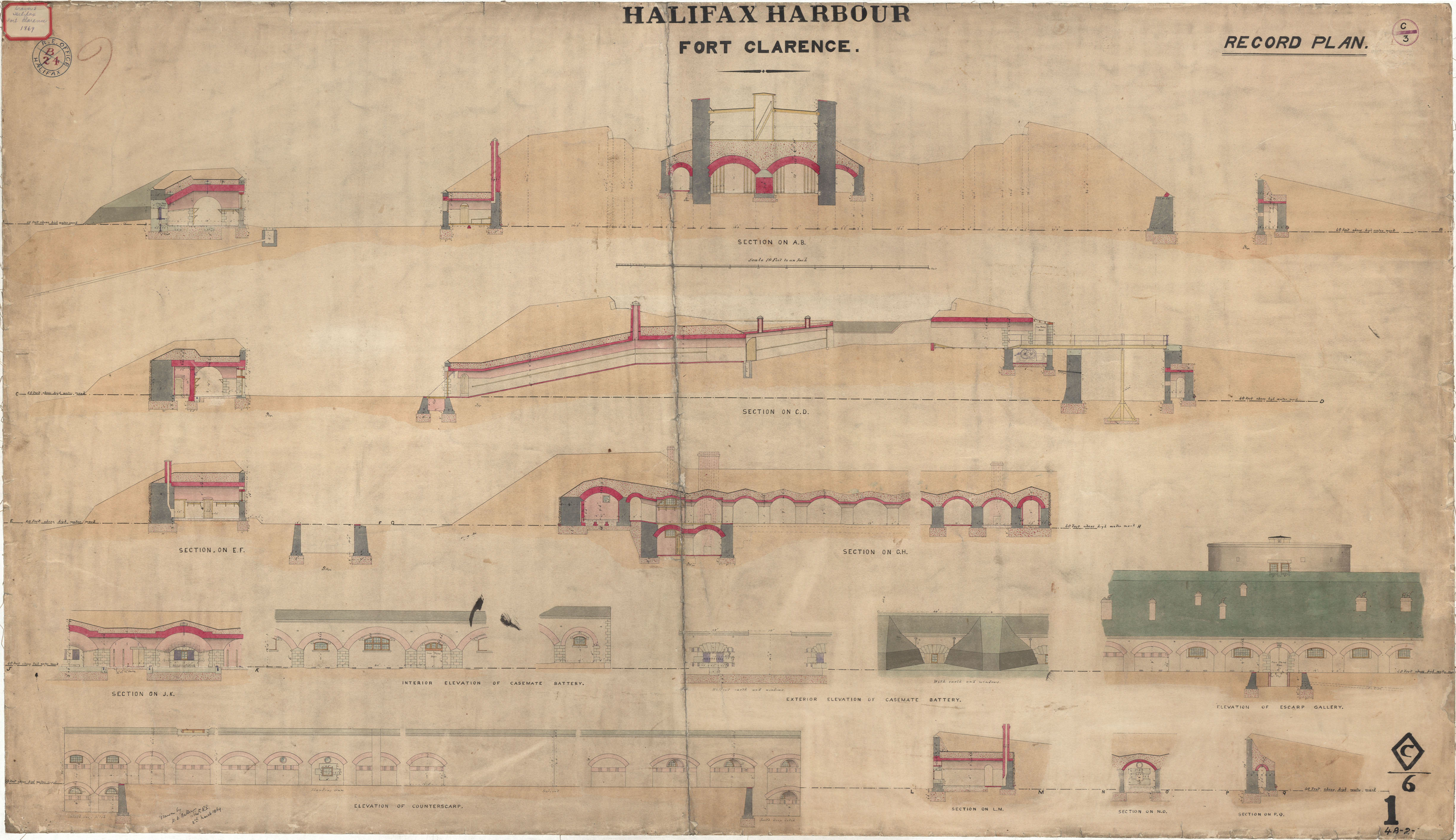
Fort Clarence - Elevations
Date: 2 March 1869
Reference: Nova Scotia Archives Royal Engineers Maps and Plans 48 - 2 - 2 -
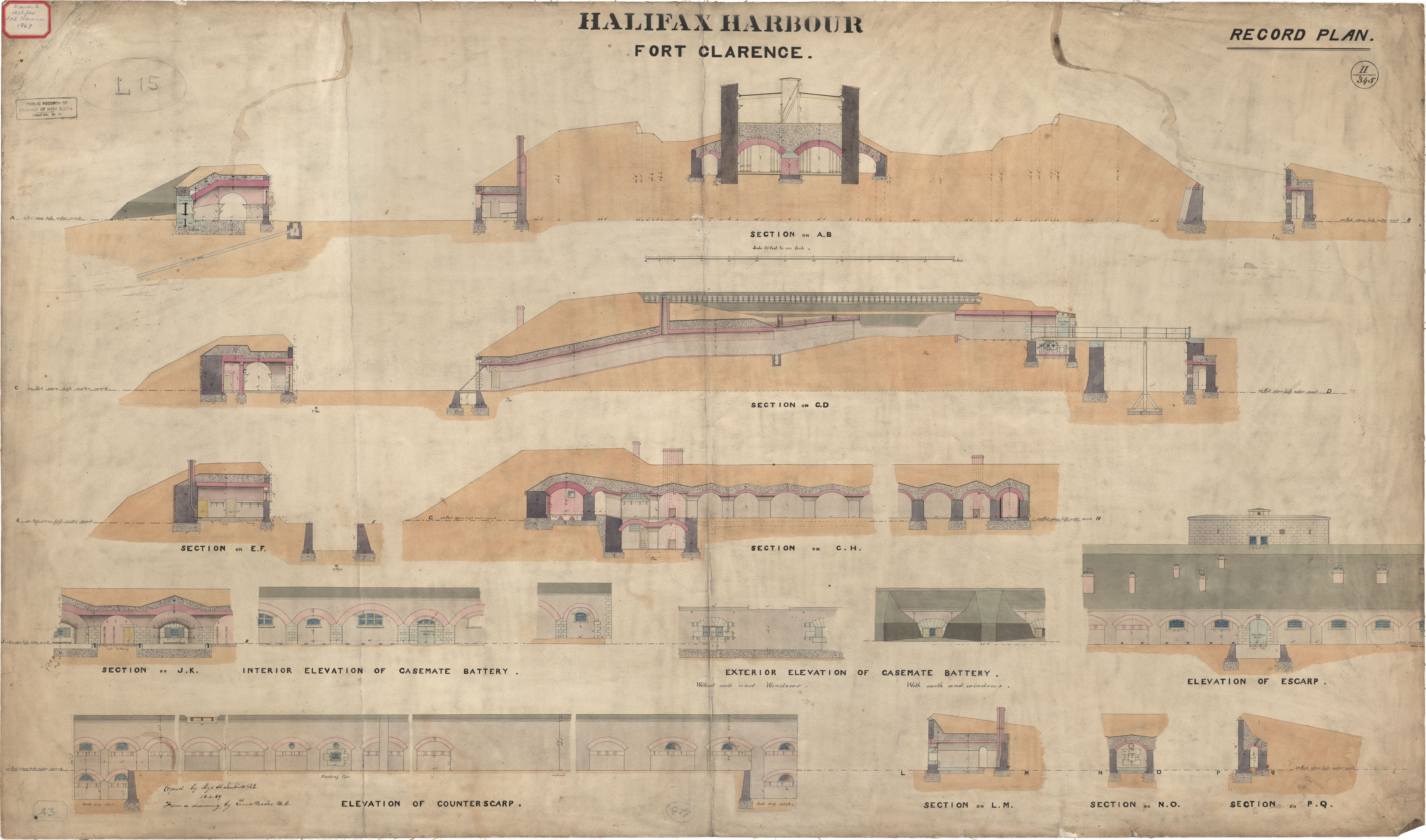
Fort Clarence - Elevations
Date: 13 April 1869
Reference: Nova Scotia Archives Royal Engineers Maps and Plans L.15
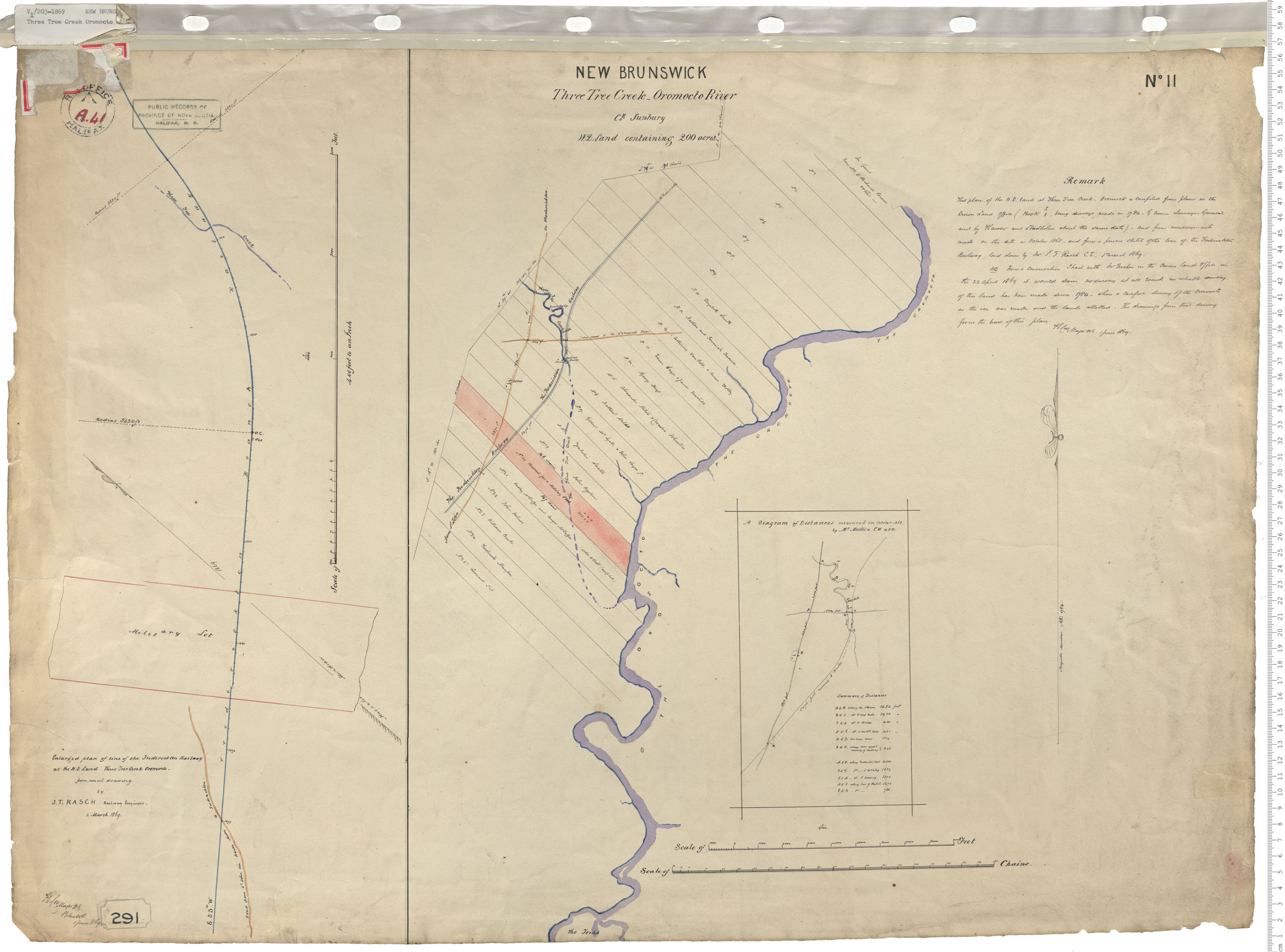
Three Tree Creek
Date: 1 June 1869
Reference: Nova Scotia Archives Royal Engineers Maps and Plans A.41
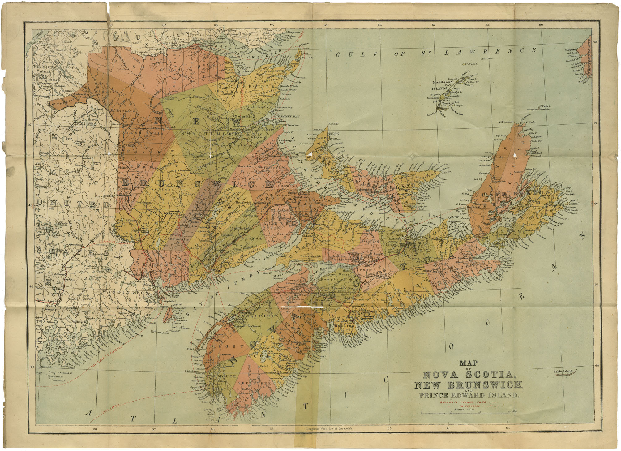
Map of Nova Scotia, New Brunswick & Prince Edward Island
Date: 1869
Reference: Nova Scotia Archives Map Collection: F/200 - 1869
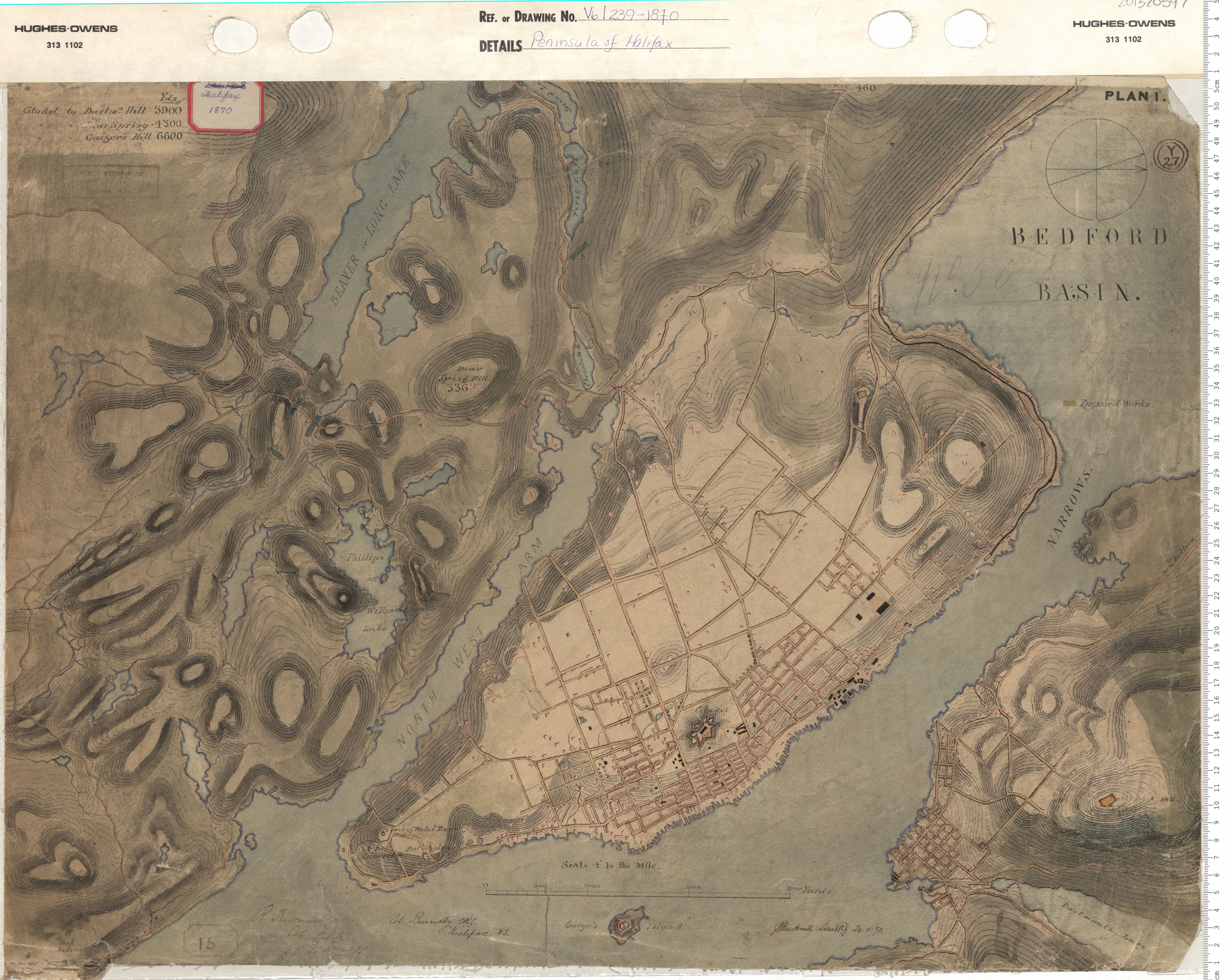
Peninsula of Halifax
Date: 1870
Reference: Nova Scotia Archives Map Collection: V6 239 Halifax, Nova Scotia
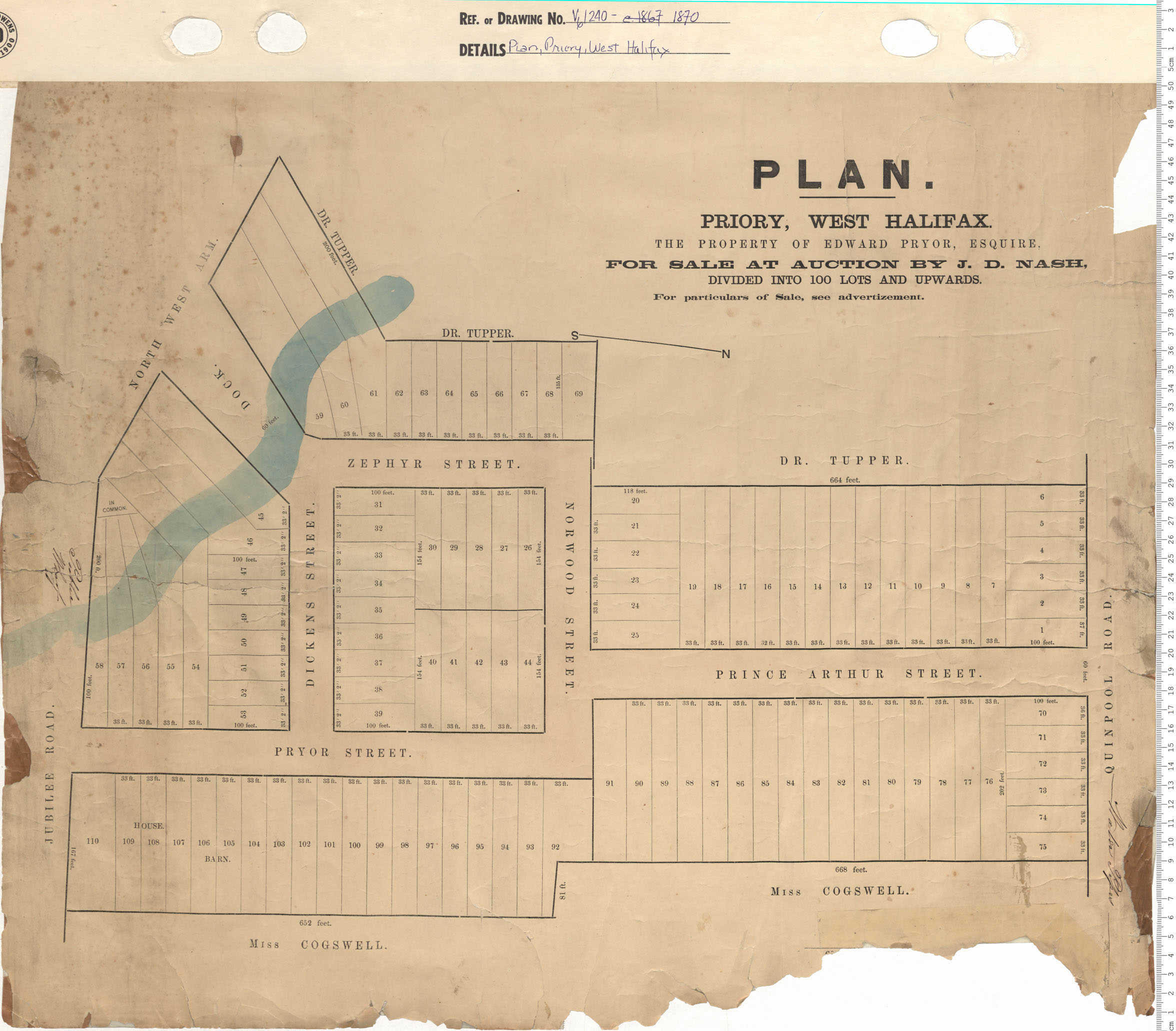
Plan, Priory, West Halifax the Property of Edward Pryor, Esquire For sale at auction By J. D. Nash…
Date: 1870
Reference: Nova Scotia Archives Map Collection: V6 240 Halifax, Nova Scotia
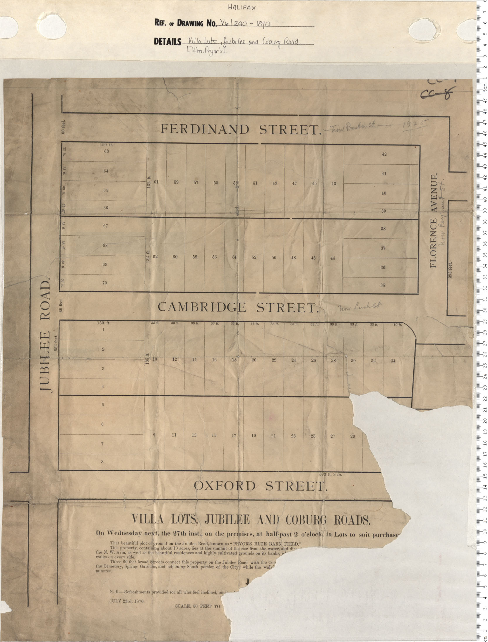
Villa Lots, Jubilee and Coburg Streets
Date: 1870
Reference: Nova Scotia Archives Map Collection: V6 240 Halifax, Nova Scotia
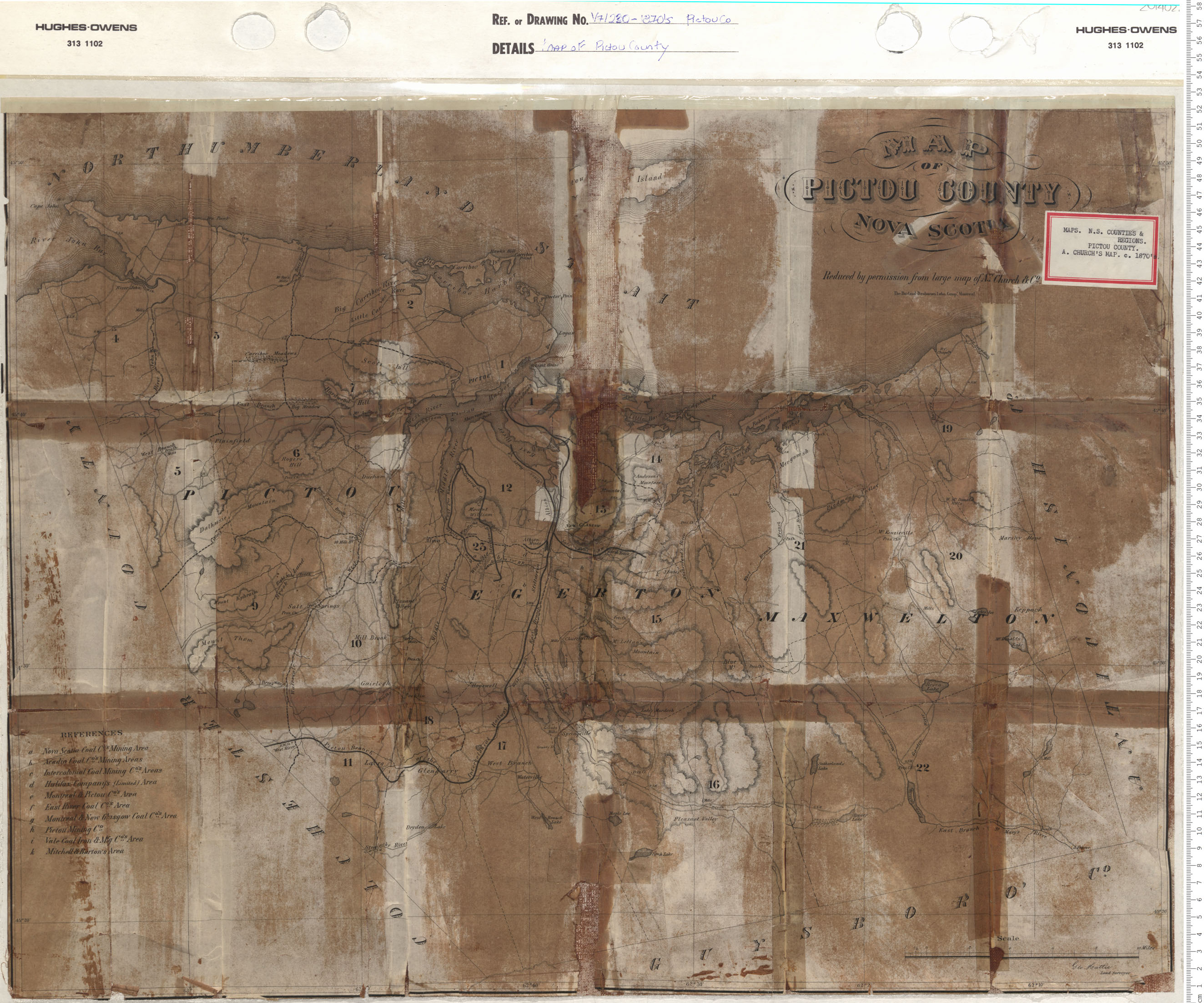
Map of Pictou County
Date: 1870
Reference: Nova Scotia Archives Map Collection: V7 230 Pictou County, Nova Scotia
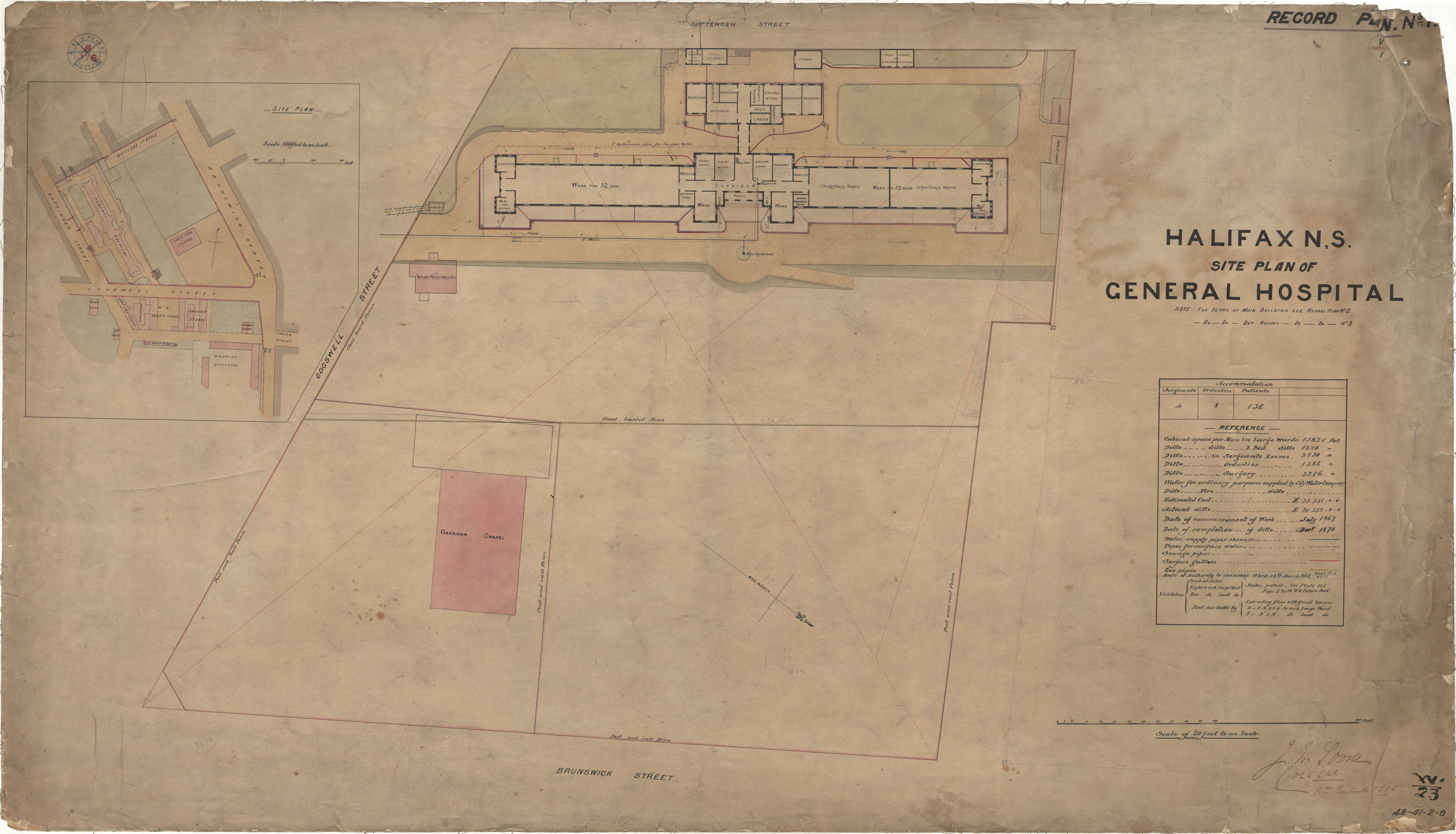
General Hospital- Site Plan
Date: 1870
Reference: Nova Scotia Archives Royal Engineers Maps and Plans 48 - 41 - 2 - 8
