Nova Scotia Archives
Historical Maps of Nova Scotia
Results 616 to 630 of 905 from your search: 1800
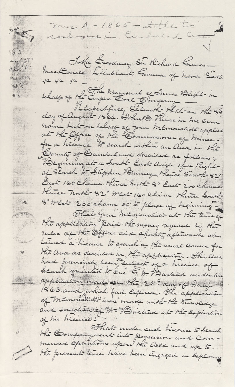
Cumberland County Coal Mining-Empire Coal Company
Date: 1865
Reference: Nova Scotia Archives Map Collection: F/220 - 1865
Plan showing route of Nova Scotia Railway through works at Albion Mines, NS
Date: 12 May 1865
Reference: Nova Scotia Archives Map Collection: F/239 - 1865
Plan of Survey of line between Rawdon & Douglas Townships
Date: 31 August 1865
Reference: Nova Scotia Archives Map Collection: F/230 - 1865
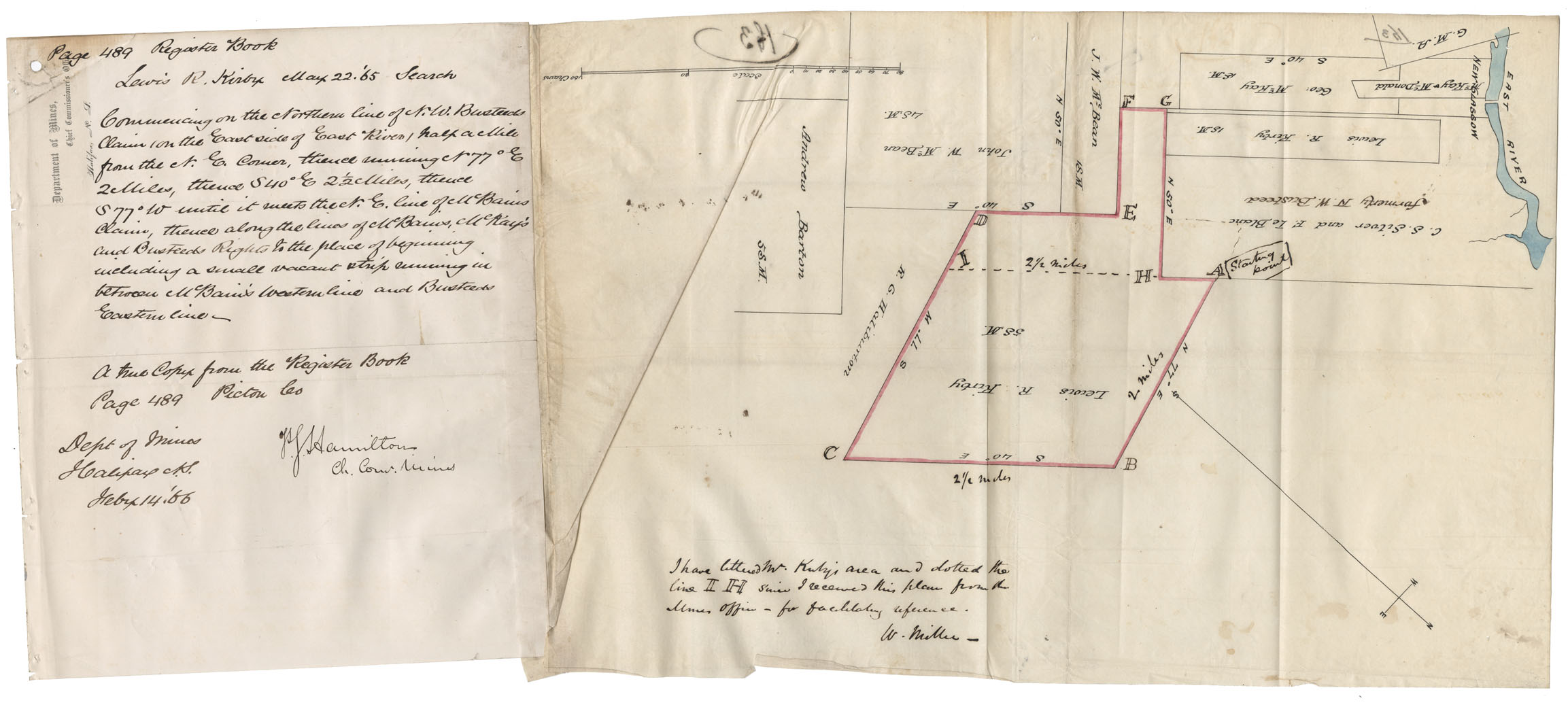
Property of Lewis R Kirby on the east side of East River
Date: 1865
Reference: Nova Scotia Archives Map Collection: F/239 - 1865
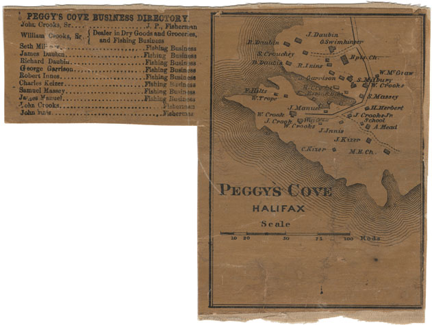
Peggy's Cove, Halifax County
Date: 1865
Reference: Nova Scotia Archives Map Collection: F/239 - 1865
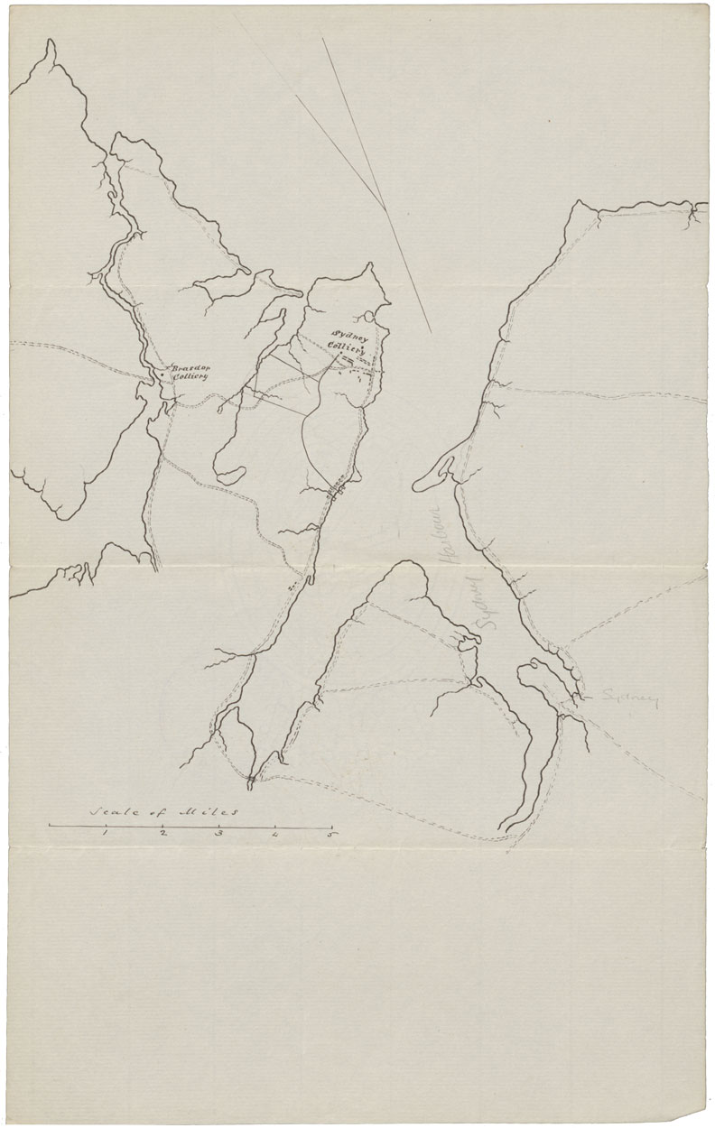
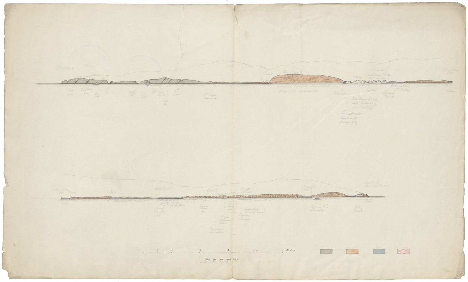
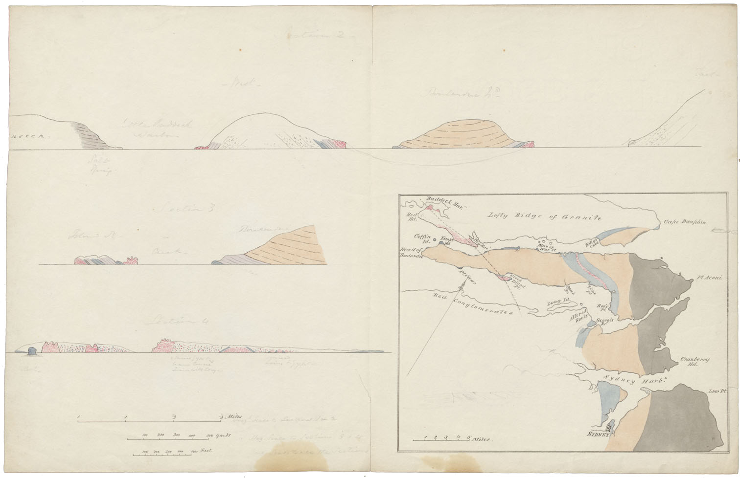
Contour Map Sydney Area Stone Formations
Date: 1865
Reference: Nova Scotia Archives Map Collection: F/239 - 1865
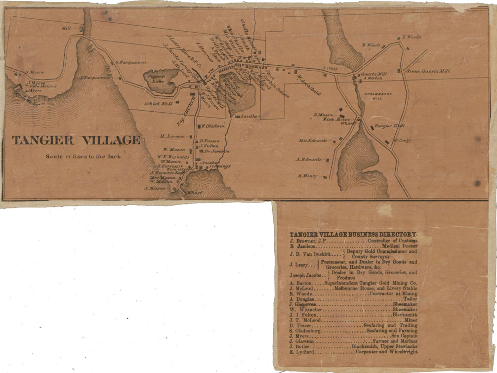
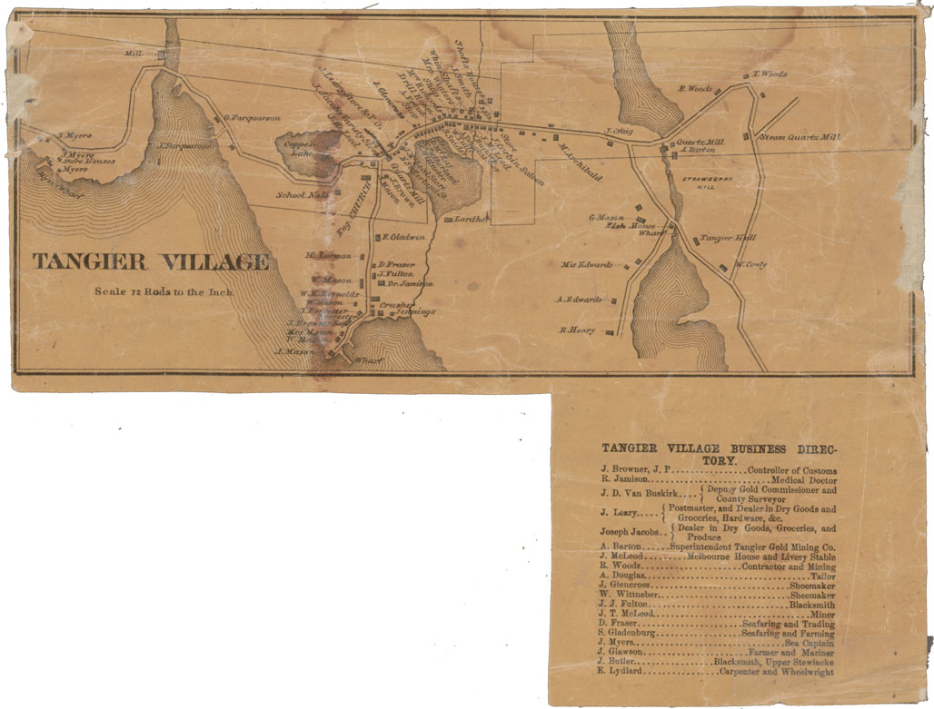
Tangier Village Halifax County
Date: 1865
Reference: Nova Scotia Archives Map Collection: F/239 - 1865
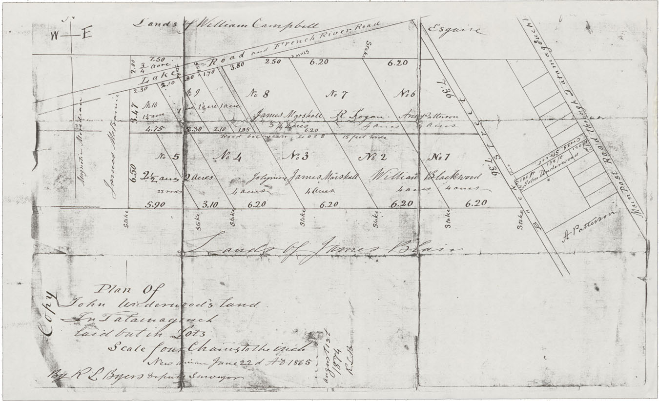
Plan of John Underwood's Land in Tatamagouche laid out in Lots
Date: 1865
Reference: Nova Scotia Archives Map Collection: F/239 - 1865
