Nova Scotia Archives
Historical Maps of Nova Scotia
Results 556 to 570 of 905 from your search: 1800
Rough Sketch of the Lands of the Mi'kmaq of Whycocomagh
Date: 12 July 1860
Reference: Nova Scotia Archives Map Collection: F/240 - 1860
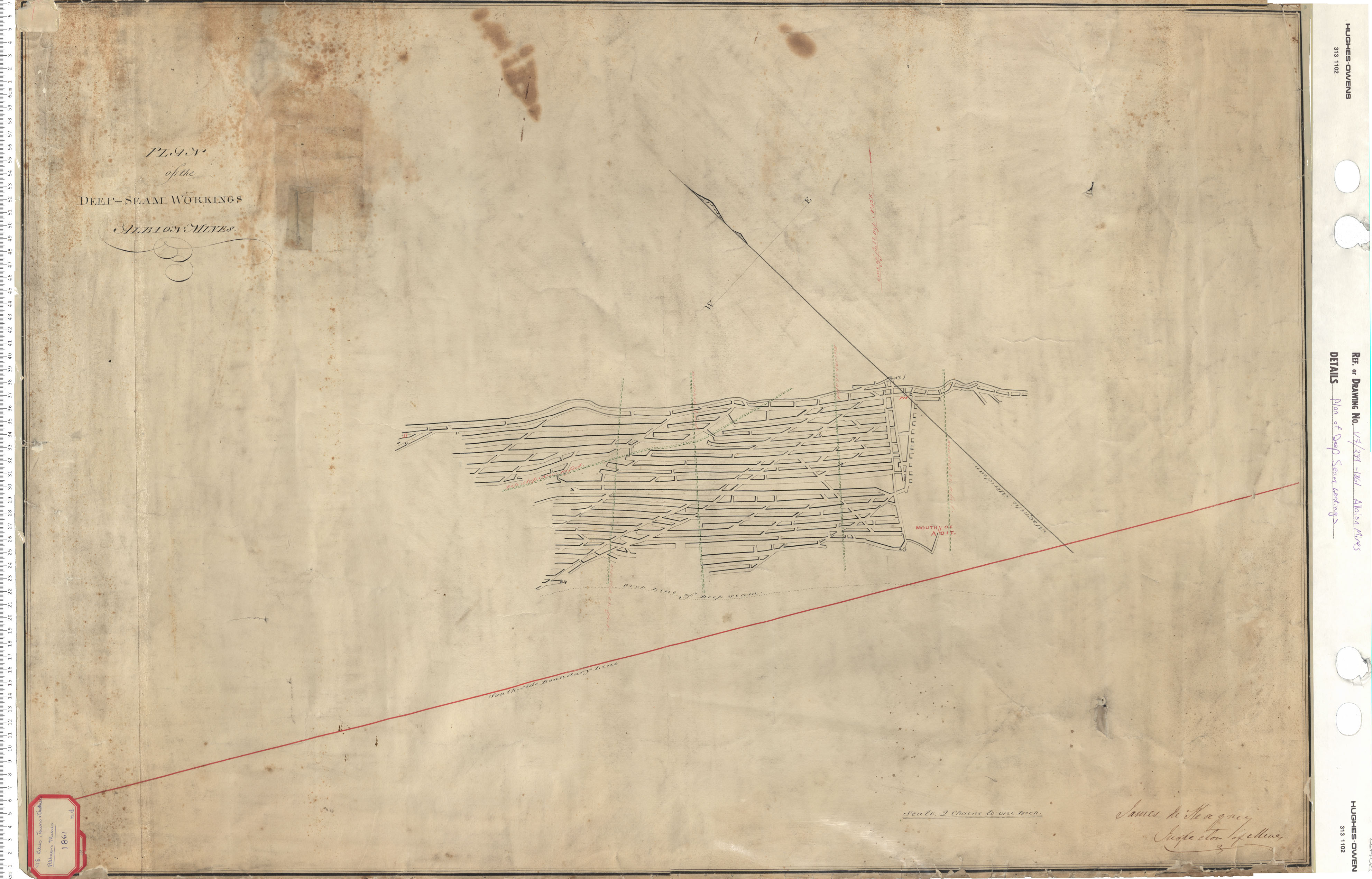
Plan of Deep Seam Workings
Date: 1861
Reference: Nova Scotia Archives Map Collection: V7 239 Albion Mines, Nova Scotia
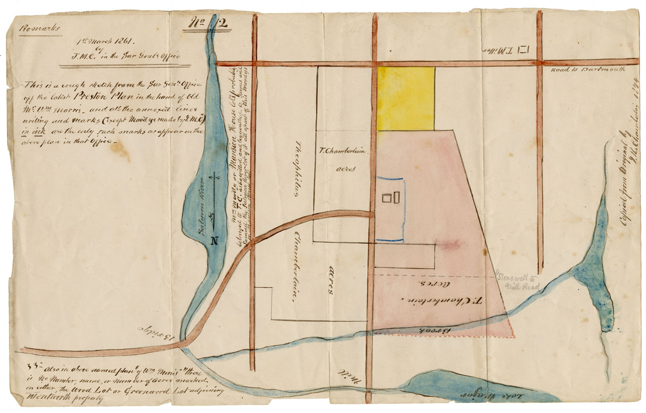
Preston Plan
Date: 1 March 1861
Reference: Nova Scotia Archives Map Collection: F/230 - 1861 African Nova Scotians
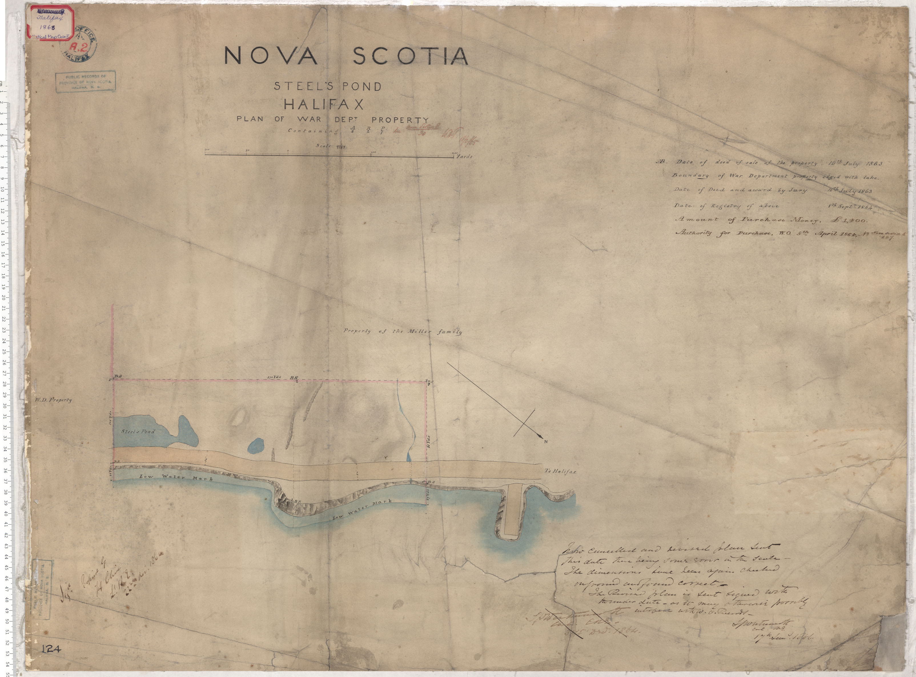
Steel's Pond
Date: 22 December 1861
Reference: Nova Scotia Archives Royal Engineers Maps and Plans A.02
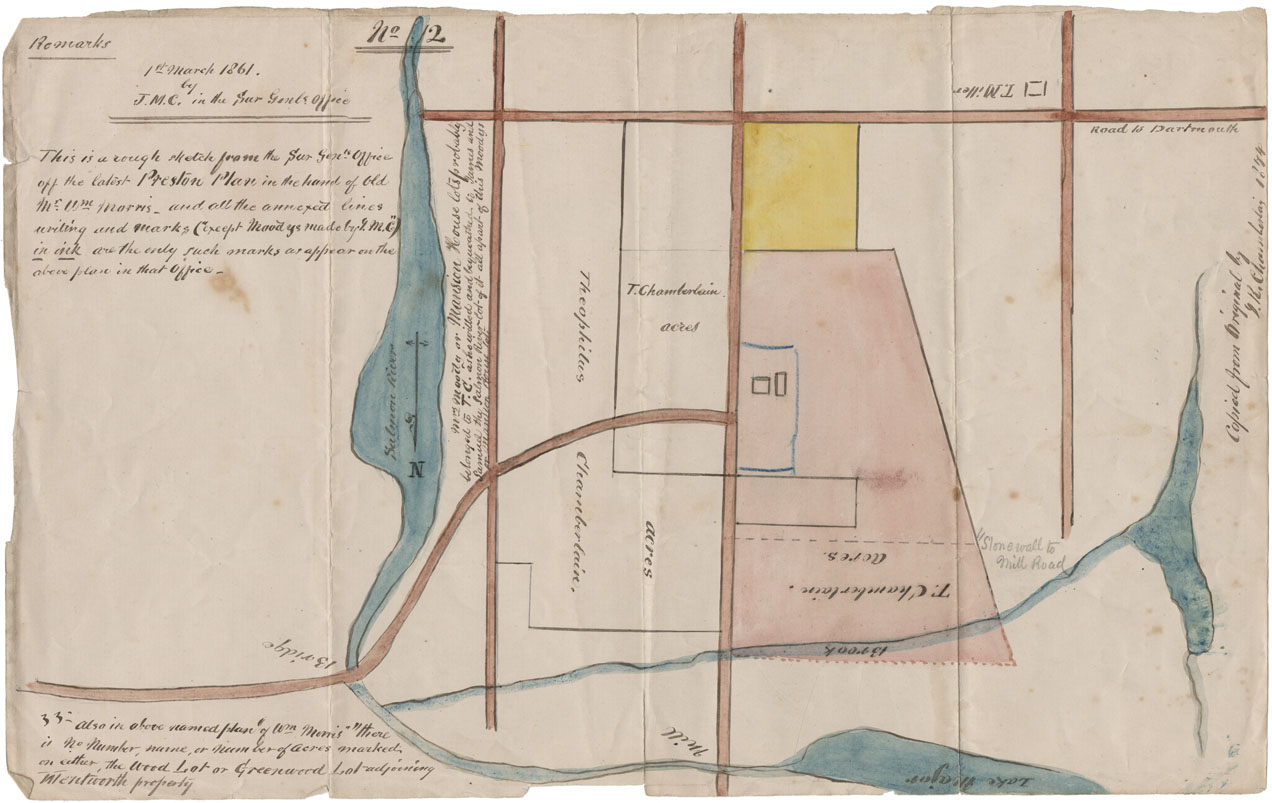
Rough Sketch latest Preston [Township] plan
Date: 1 March 1861
Reference: Nova Scotia Archives Map Collection: F/230 - 1861
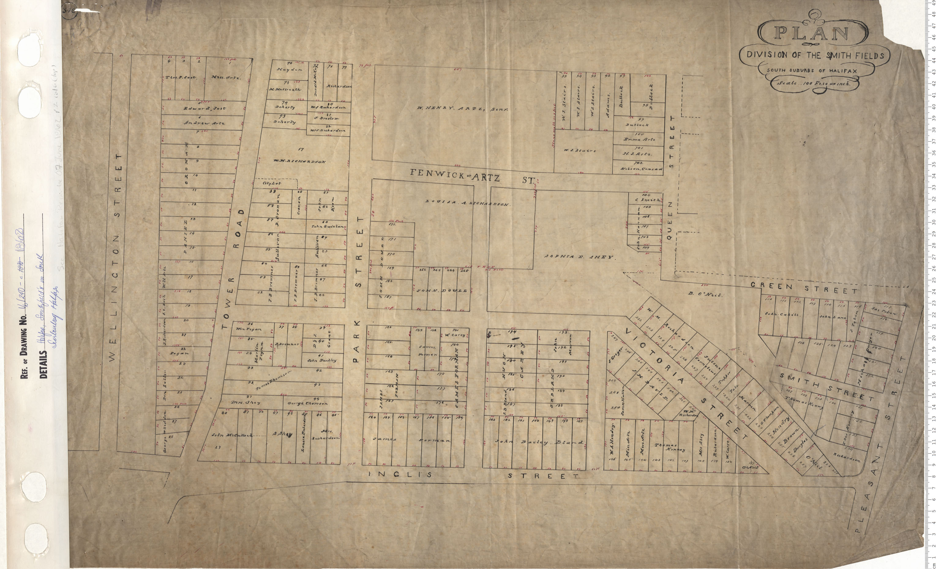
Plan Division of the Smith Fields South suburbs of Halifax
Date: 1862
Reference: Nova Scotia Archives Map Collection: V6 240 Halifax, Nova Scotia
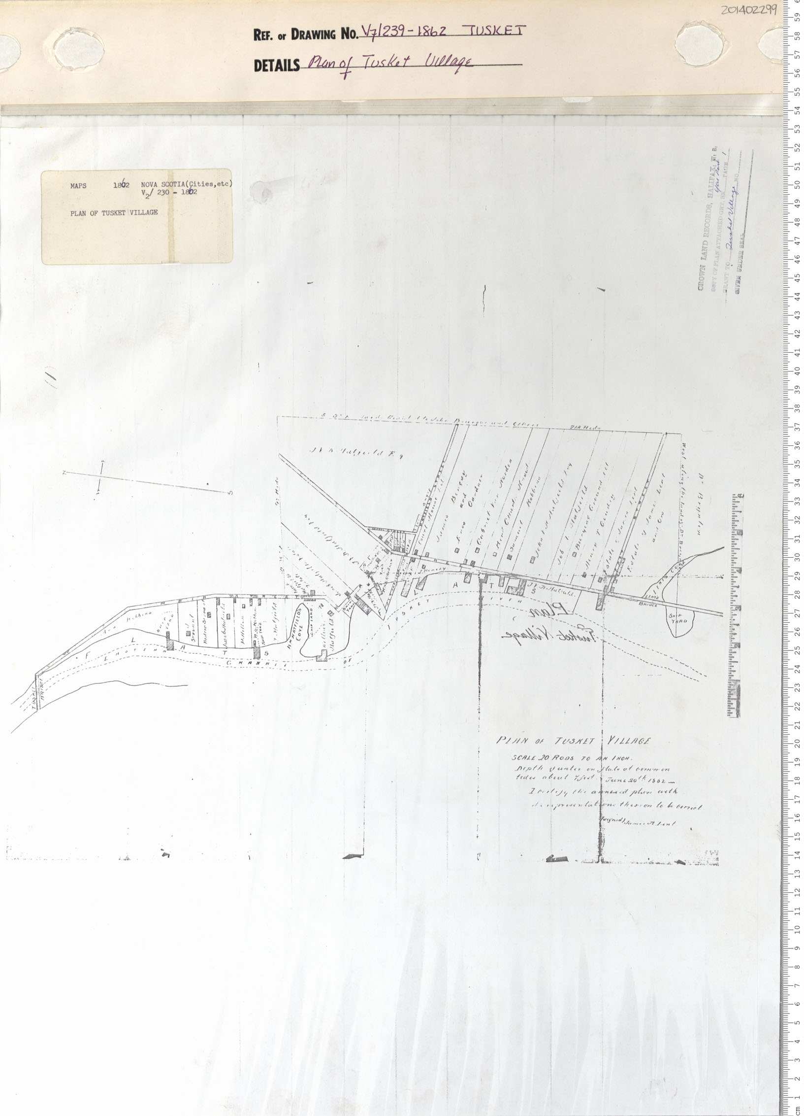
Plan of Tusket Village
Date: 1862
Reference: Nova Scotia Archives Map Collection: V7 239 Tusket, Nova Scotia
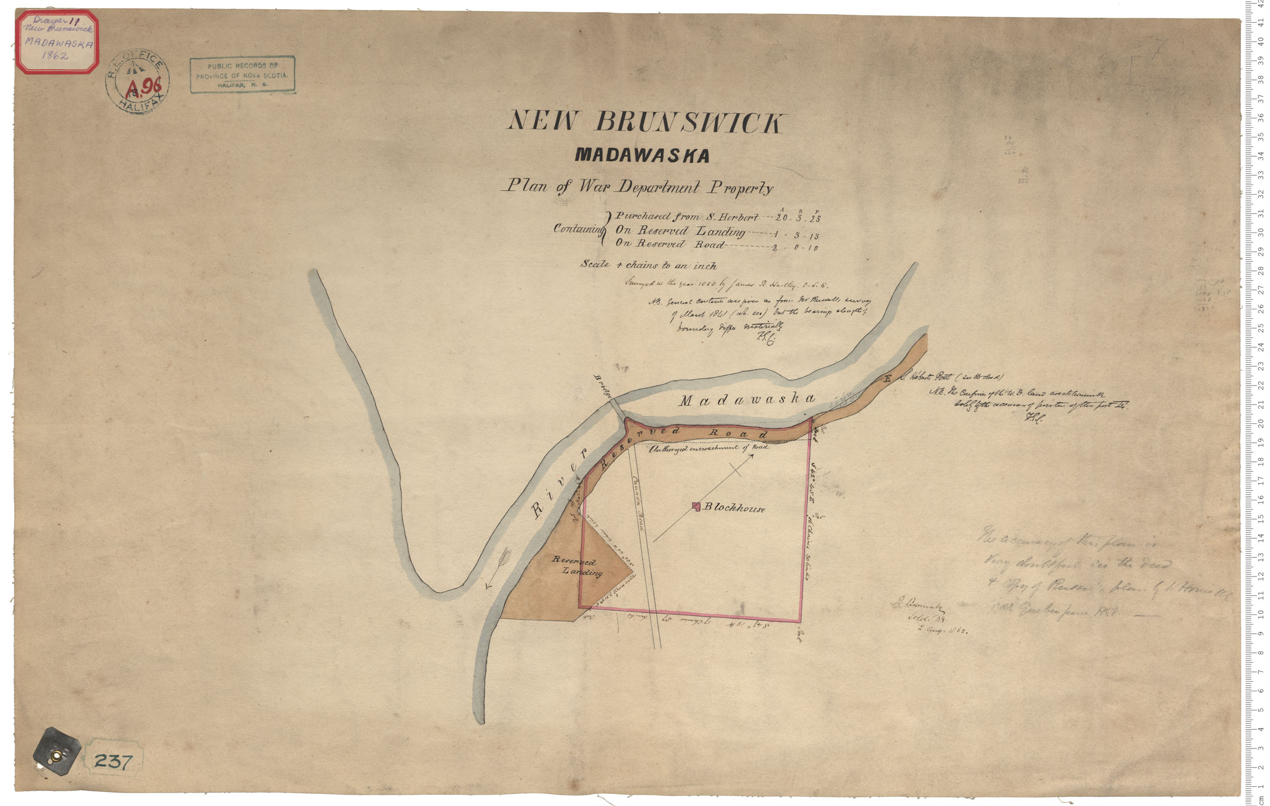
War Department Property
Date: 2 August 1862
Reference: Nova Scotia Archives Royal Engineers Maps and Plans A.96
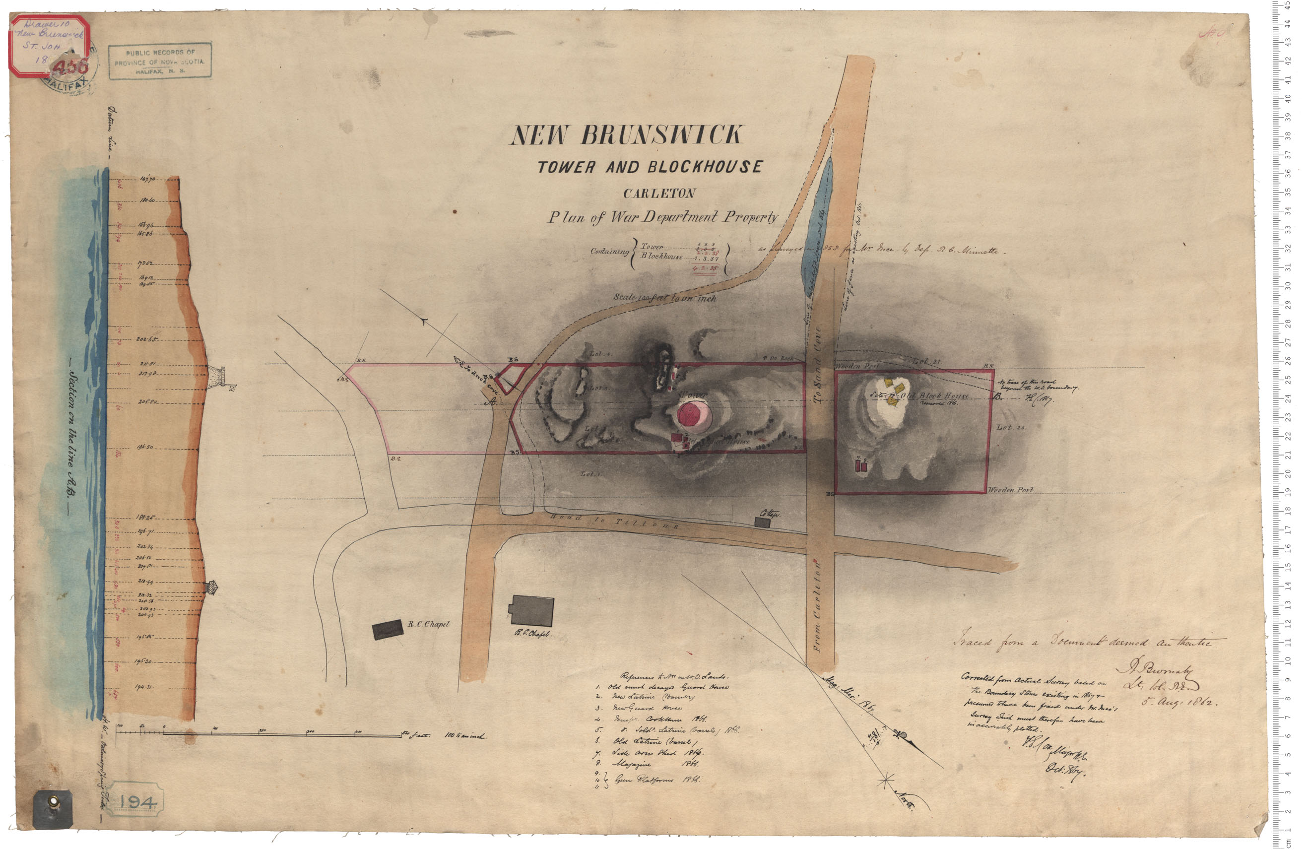
Tower and Blockhouse
Date: 5 August 1862
Reference: Nova Scotia Archives Royal Engineers Maps and Plans A.56
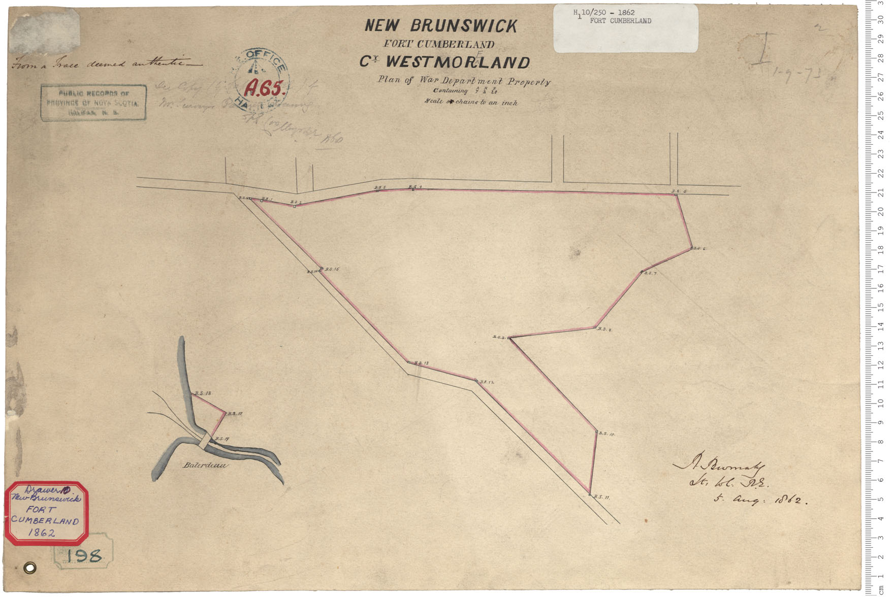
Fort Cumberland
Date: 5 August 1862
Reference: Nova Scotia Archives Royal Engineers Maps and Plans A.65
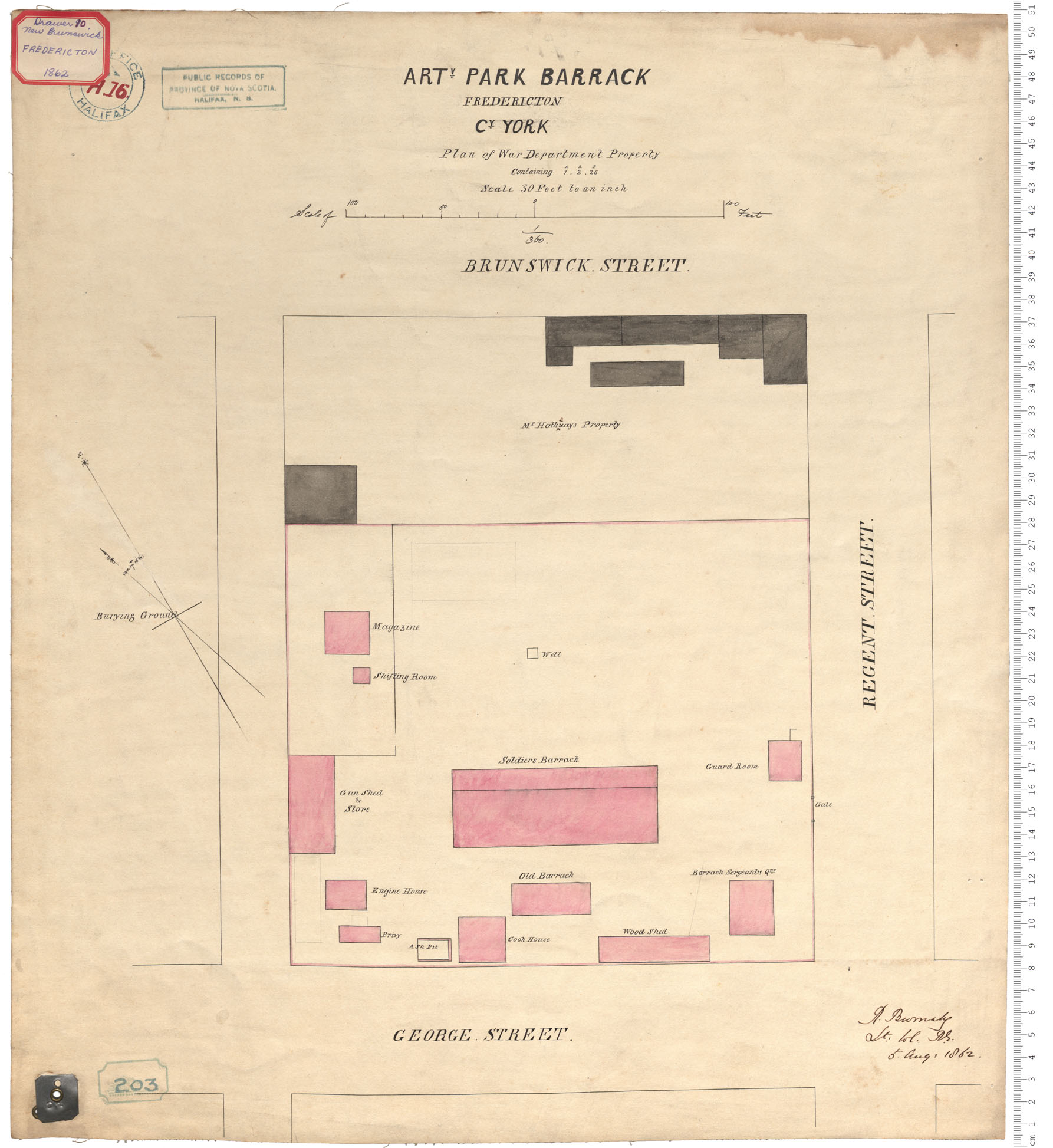
Artillery Park Barrack
Date: 5 August 1862
Reference: Nova Scotia Archives Royal Engineers Maps and Plans A.16
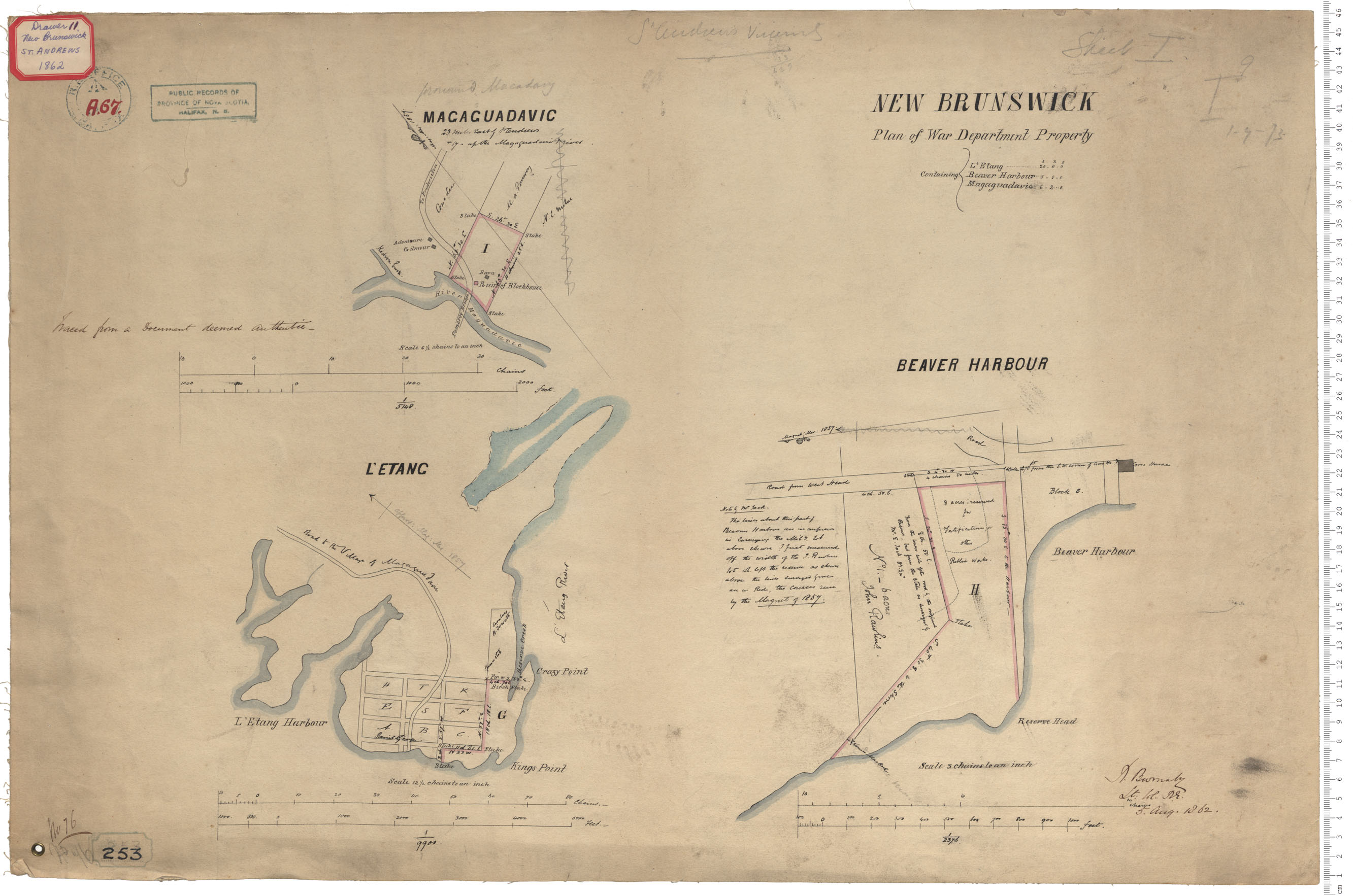
War Department Property
Date: 5 August 1862
Reference: Nova Scotia Archives Royal Engineers Maps and Plans A.67
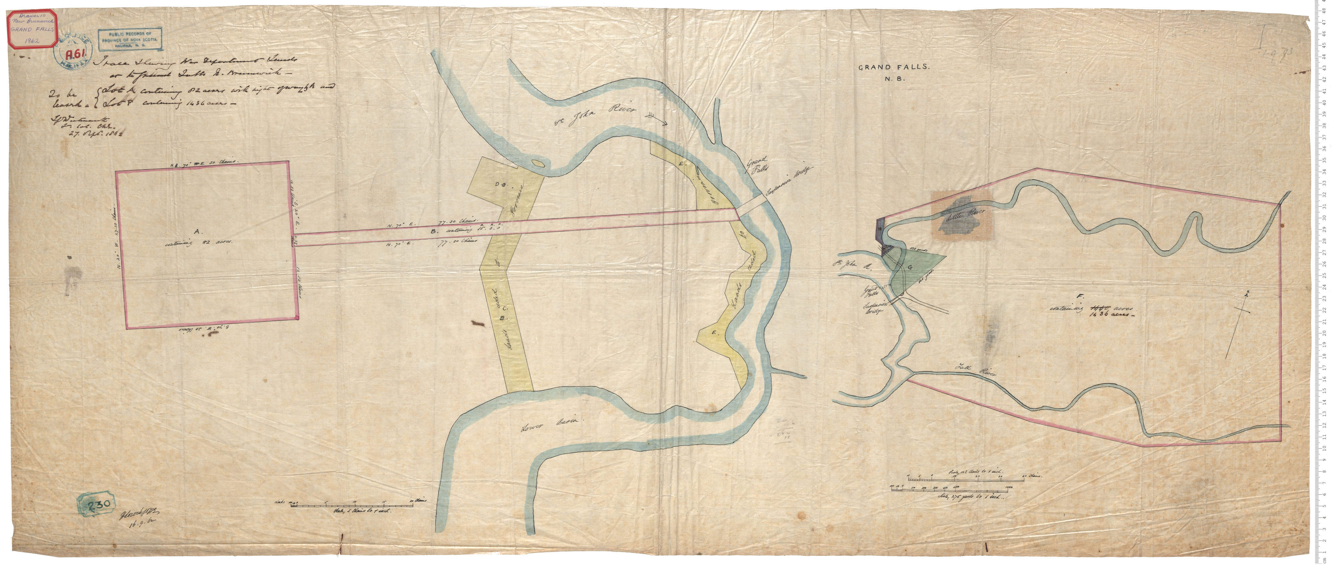
War Department lands
Date: 27 September 1862
Reference: Nova Scotia Archives Royal Engineers Maps and Plans A.61
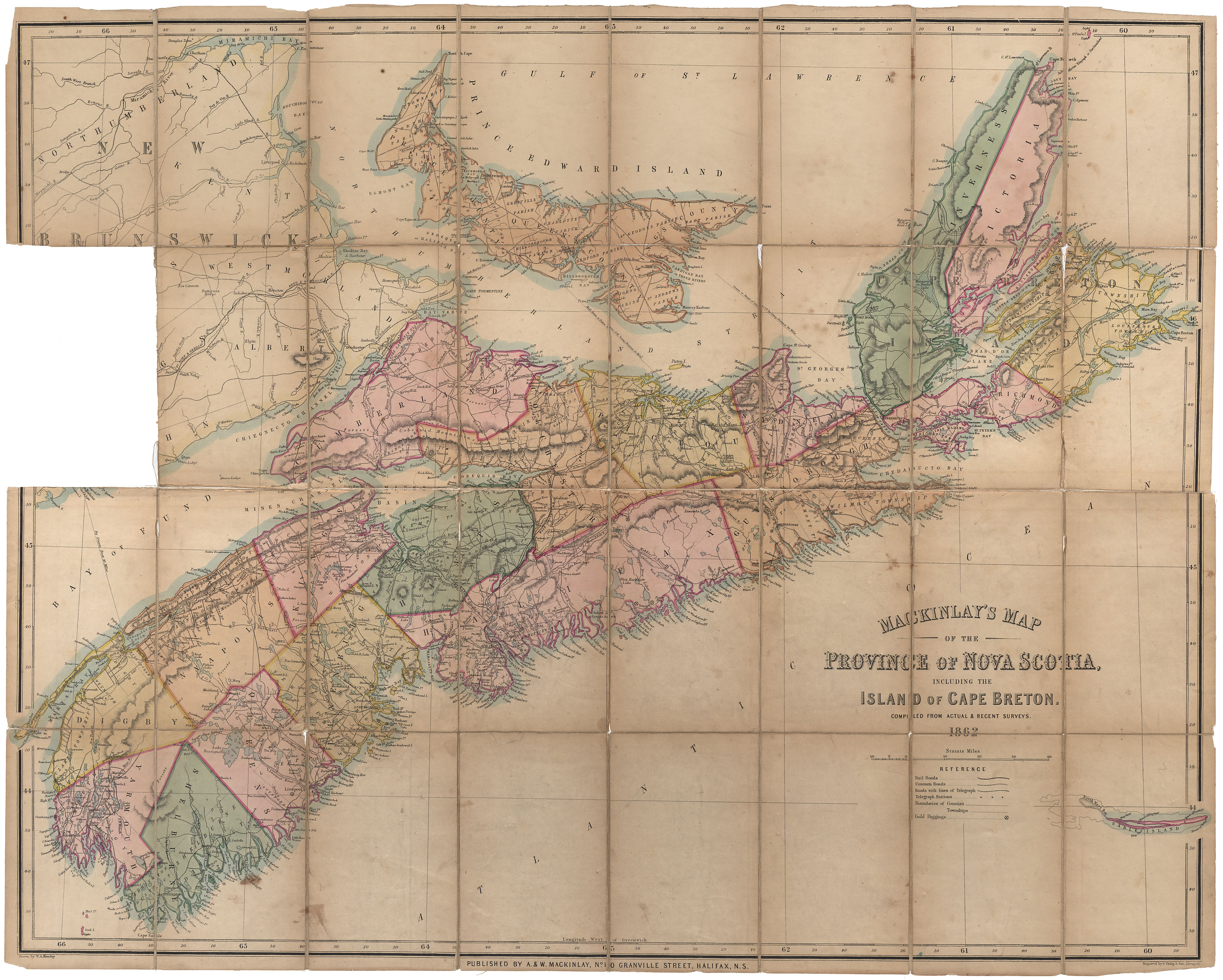
MacKinlay's Map of Nova Scotia, 1862
Date: 1862
Reference: Nova Scotia Archives Map Collection: F/202 - 1862
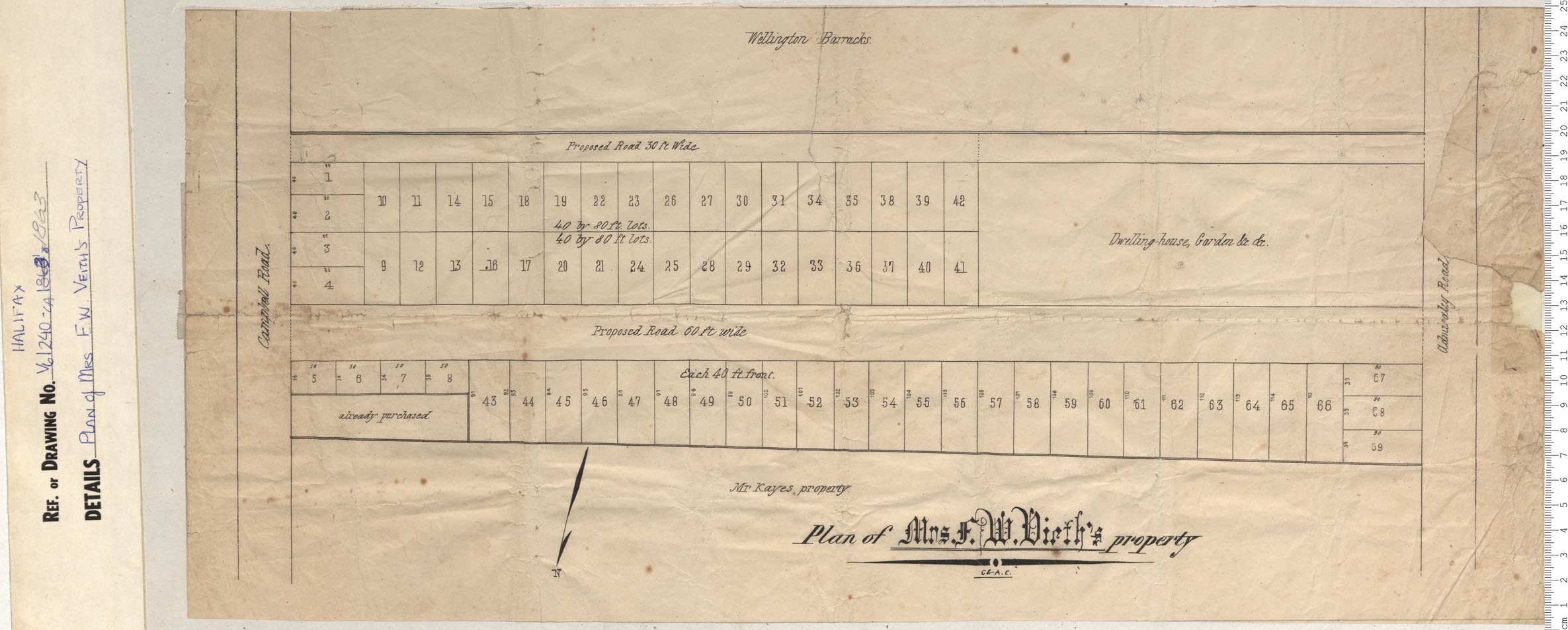
Plan of Mrs. Veith's Property
Date: 1863
Reference: Nova Scotia Archives Map Collection: V6 240 Halifax, Nova Scotia
