Nova Scotia Archives
Historical Maps of Nova Scotia
Results 136 to 150 of 2074 from your search:
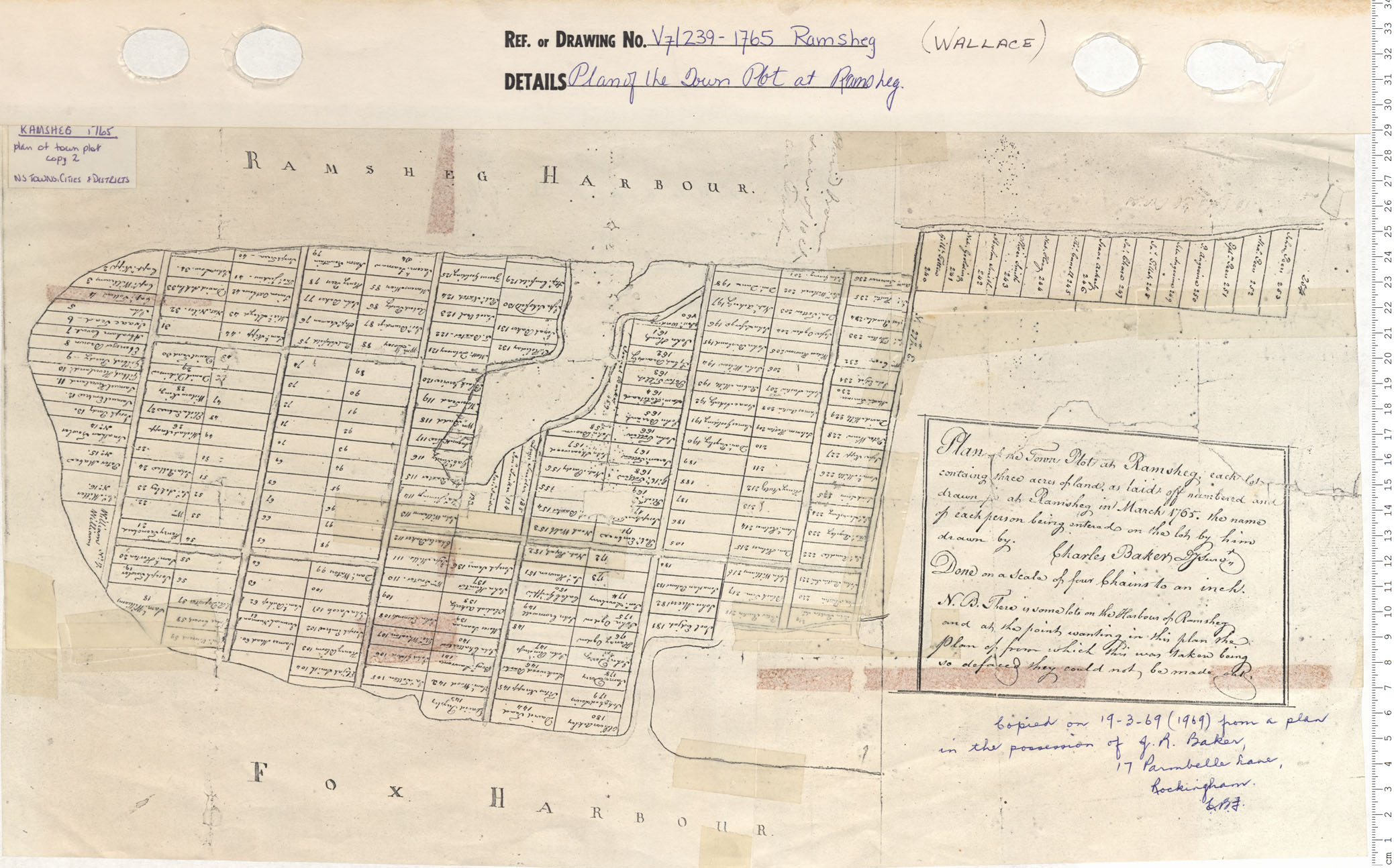
Plan of the Town Plot at Ramsheg
Date: 1765
Reference: Nova Scotia Archives Map Collection: V7 239 Ramsheg Wallace, Nova Scotia
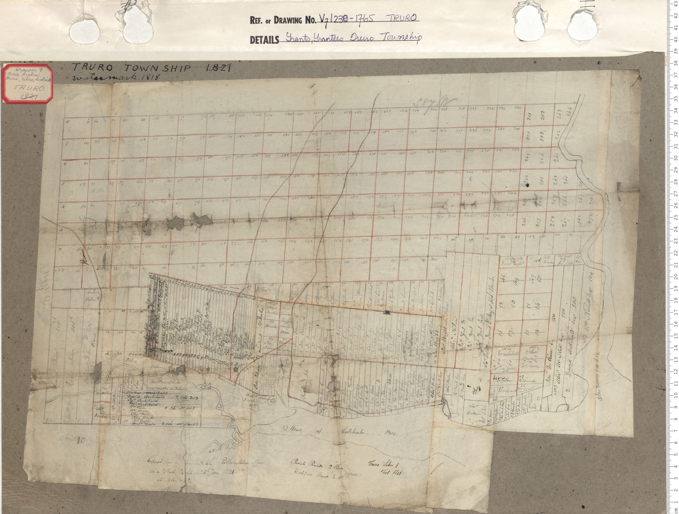
Grants, Grantees of Truro township
Date: 1765
Reference: Nova Scotia Archives Map Collection: V7 239 Truro, Nova Scotia
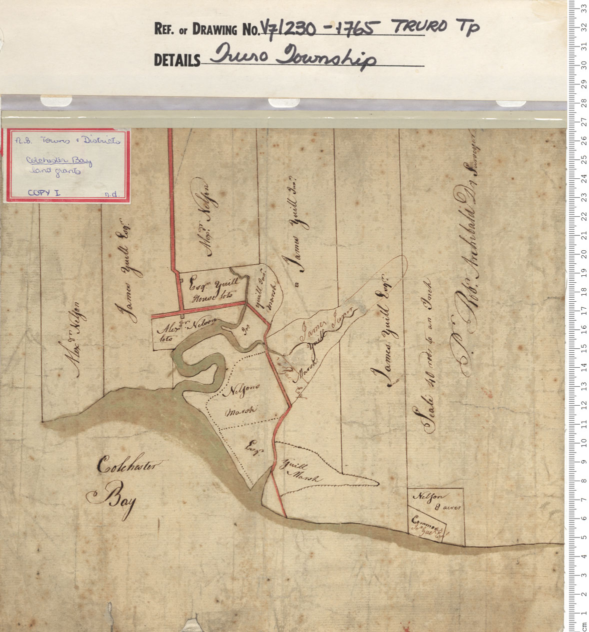
Truro Township: Land Grants of Alex Nelson 2 James Yuill
Date: 1765
Reference: Nova Scotia Archives Map Collection: V7 230 Truro, Nova Scotia
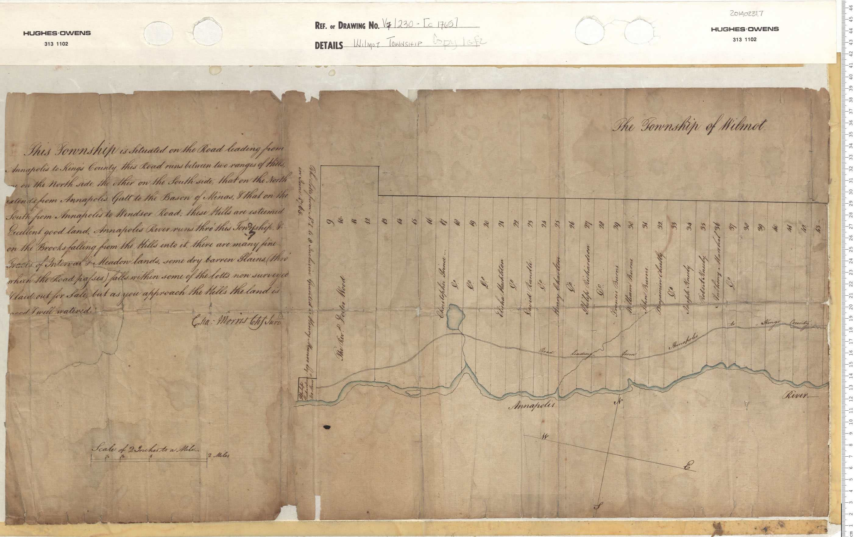
Wilmot Township
Date: 1765
Reference: Nova Scotia Archives Map Collection: V7 230 Wilmot, Nova Scotia
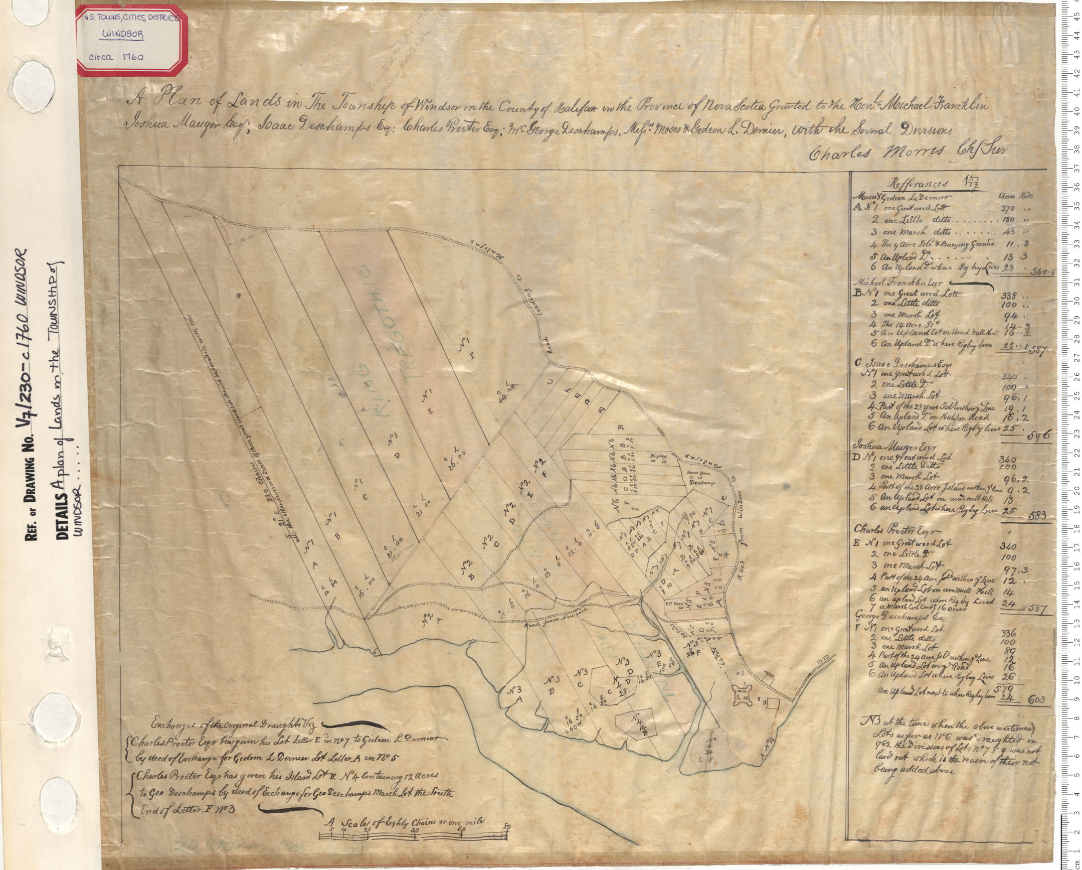
A Plan of the Lands in the Township of Windsor
Date: 1765
Reference: Nova Scotia Archives Map Collection: V7 230 Windsor, Nova Scotia
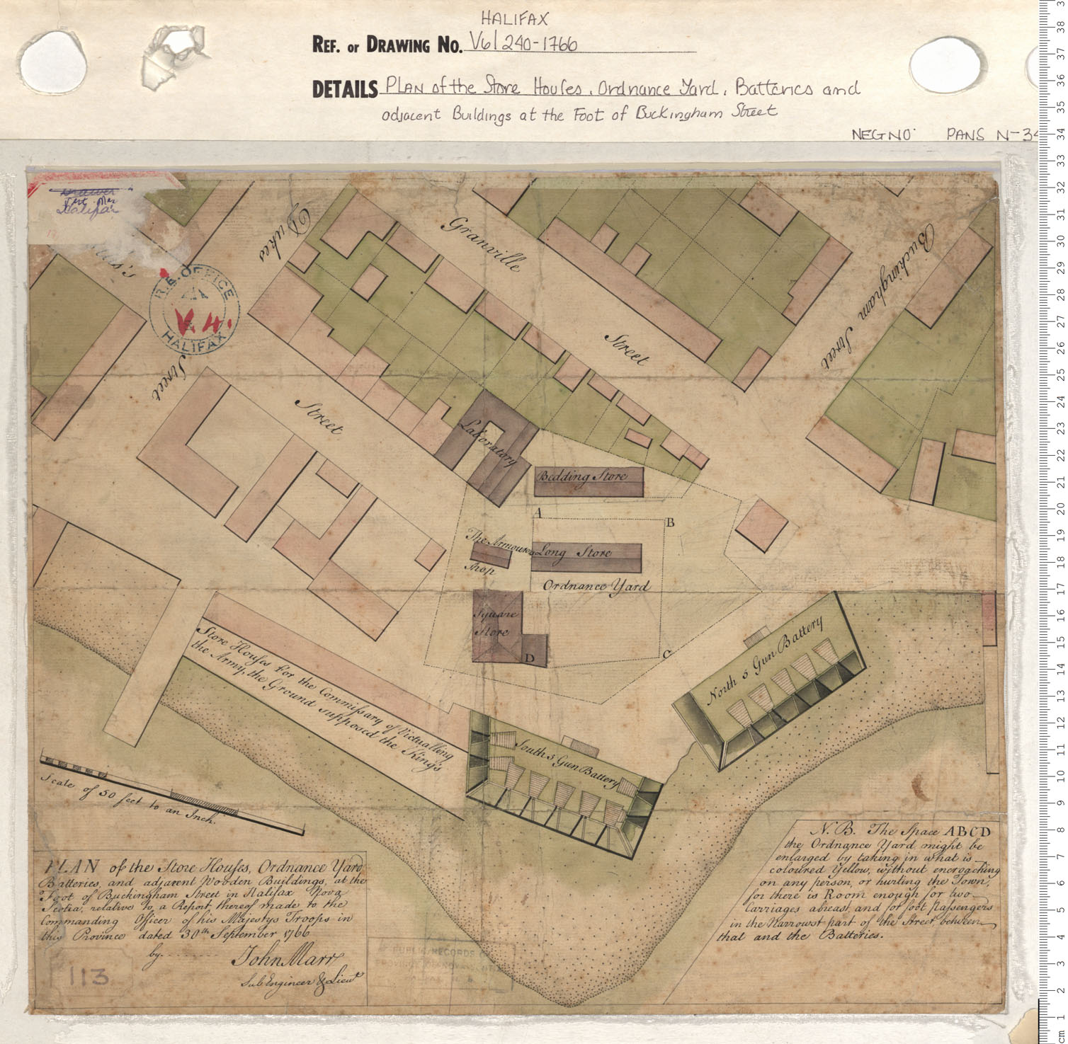
Plan of the Store Houses, Ordnance Yard, Batteries and adjacent Buildings at the Foot of Buckingham Street
Date: 1766
Reference: Nova Scotia Archives Map Collection: V6 240 Halifax, Nova Scotia
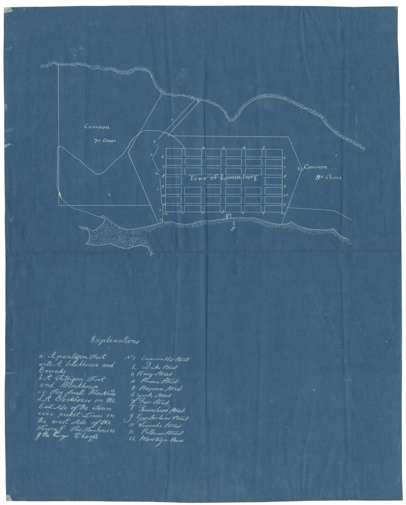
Lunenburg and New Dublin Townships
Date: 1767
Reference: Nova Scotia Archives Map Collection: V7 230 Lunenburg, Nova Scotia
Colchester County Economy, 1767
Date: 1767
Reference: Nova Scotia Archives Map Collection: F/230 - 1767
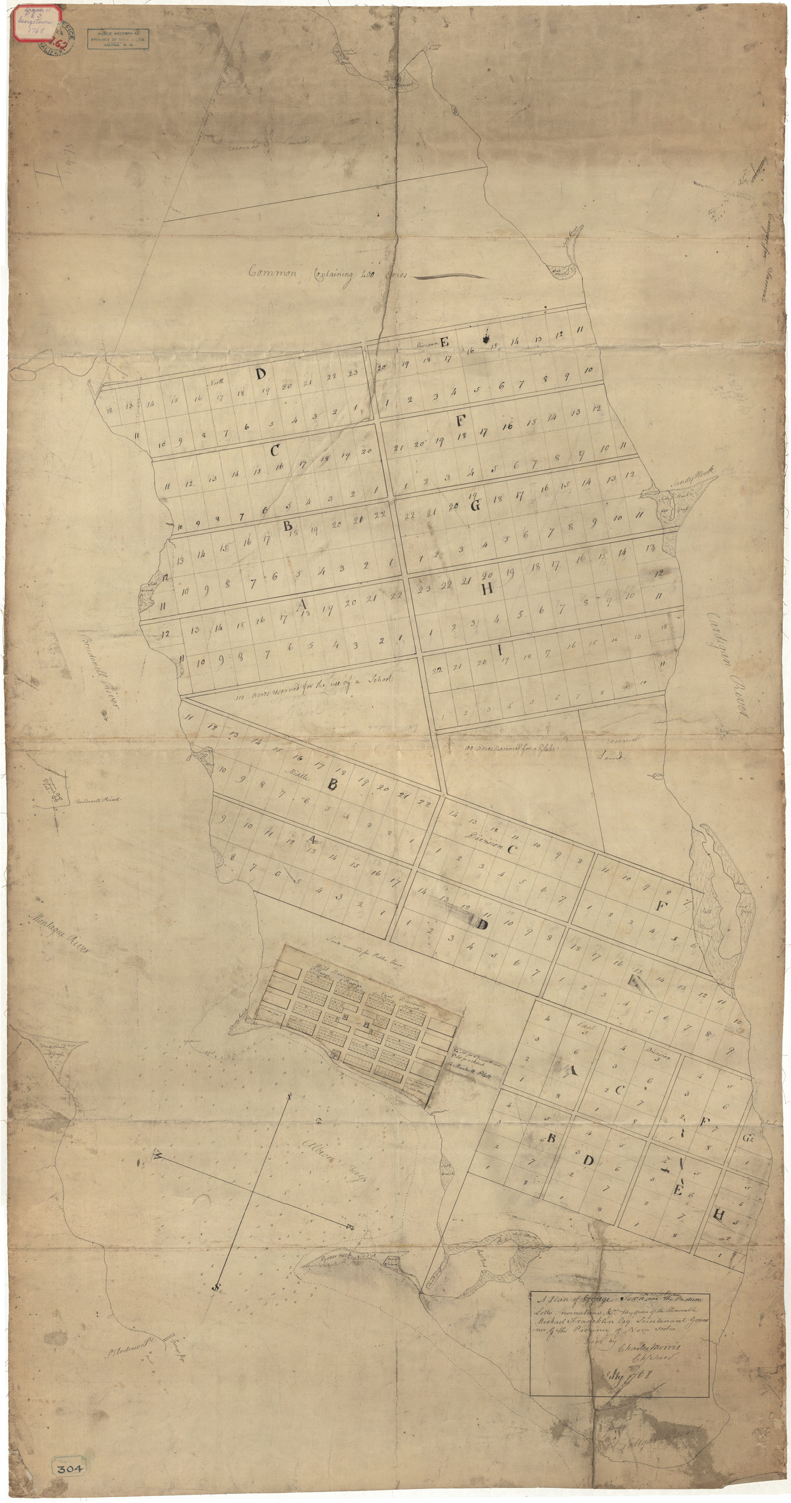
Georgetown, Isle of Saint John
Date: 1768
Reference: Nova Scotia Archives Royal Engineers Maps and Plans A.62
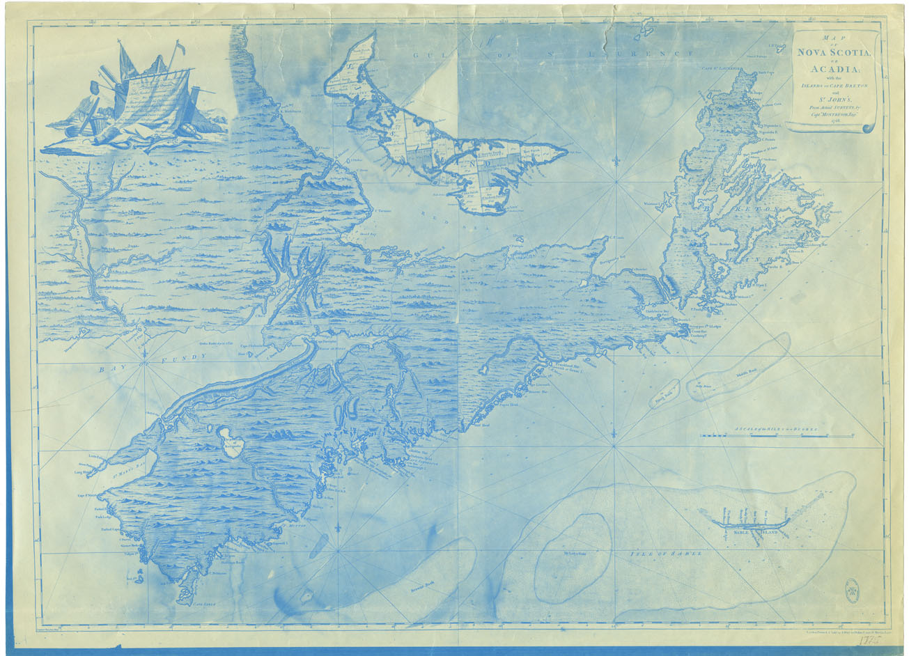
Map of Nova Scotia or Acadia, with the Islands of cape Breton and St.John's from Actual Surveys by Capt.Montresor, Engi 1768
Date: 1768
Reference: Nova Scotia Archives Map Collection: F/200 - 1768
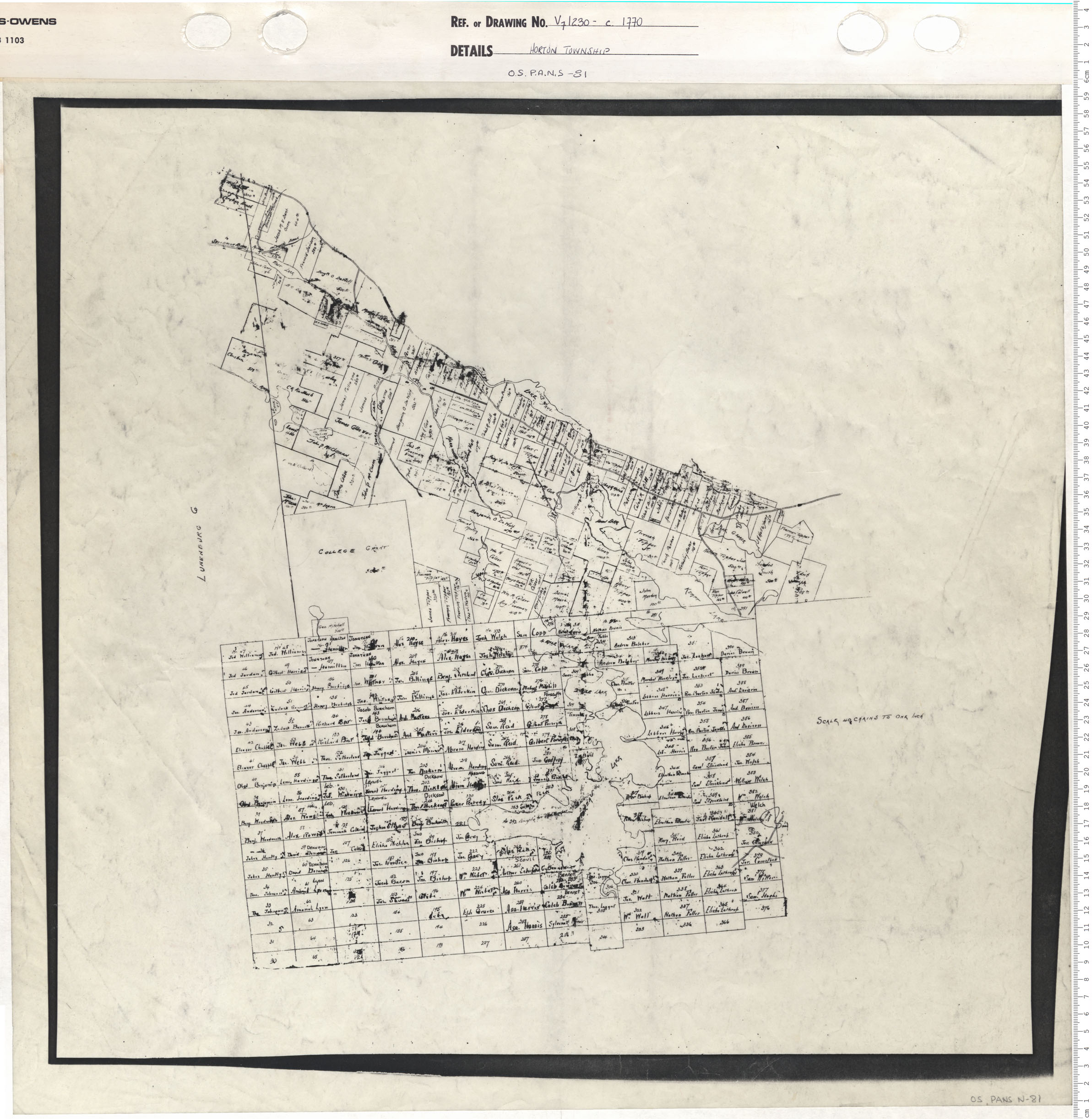
Horton Township
Date: 1770
Reference: Nova Scotia Archives Map Collection: V7 230 Horton Township, Nova Scotia
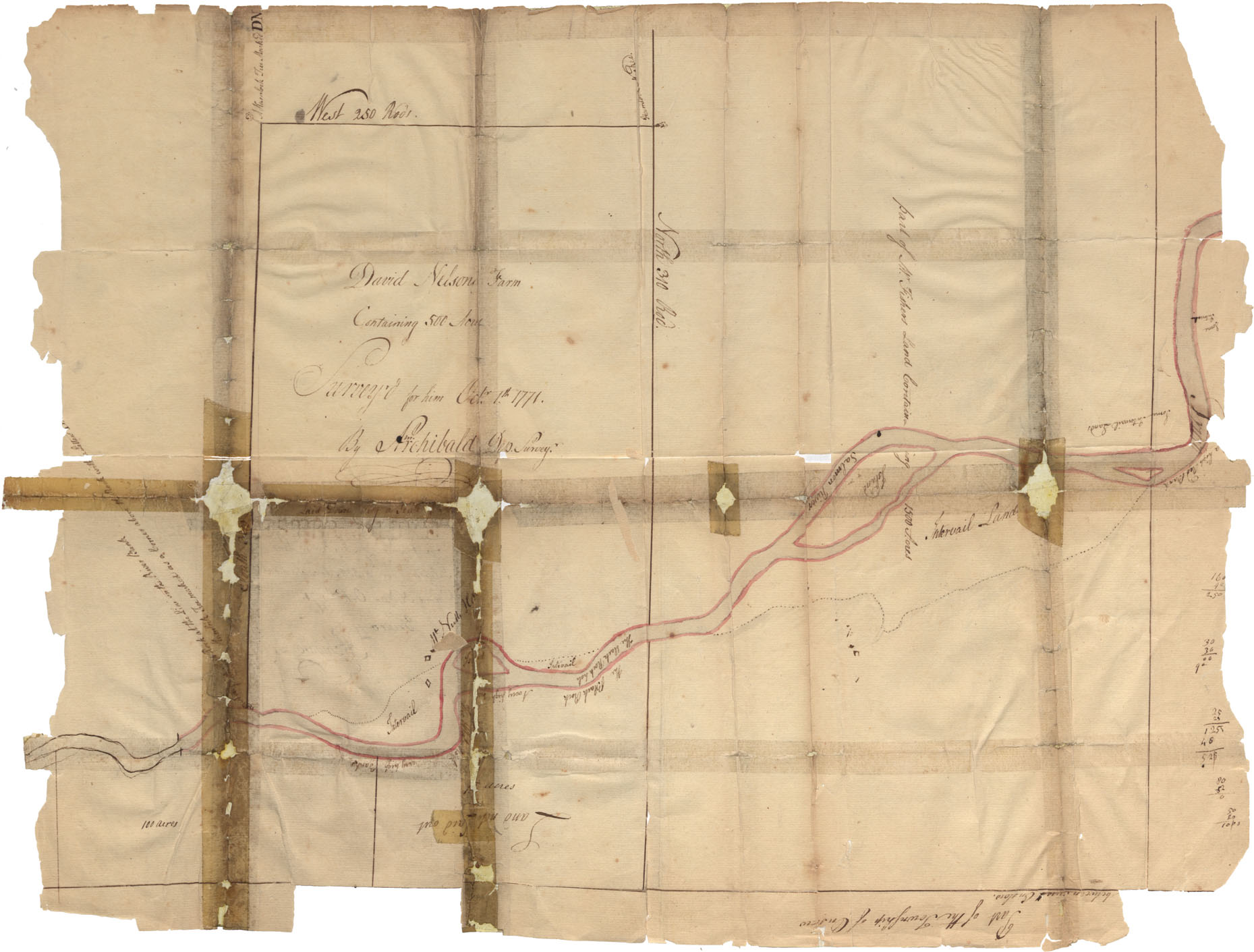
Colchester County Salmon River 1771
Date: 1 October 1771
Reference: Nova Scotia Archives Map Collection: F/230 - 1771
Colchester County Tatamagouche Harbour, Gulf of St. Lawrence 1771
Date: 1771
Reference: Nova Scotia Archives Map Collection: F/239 - 1771
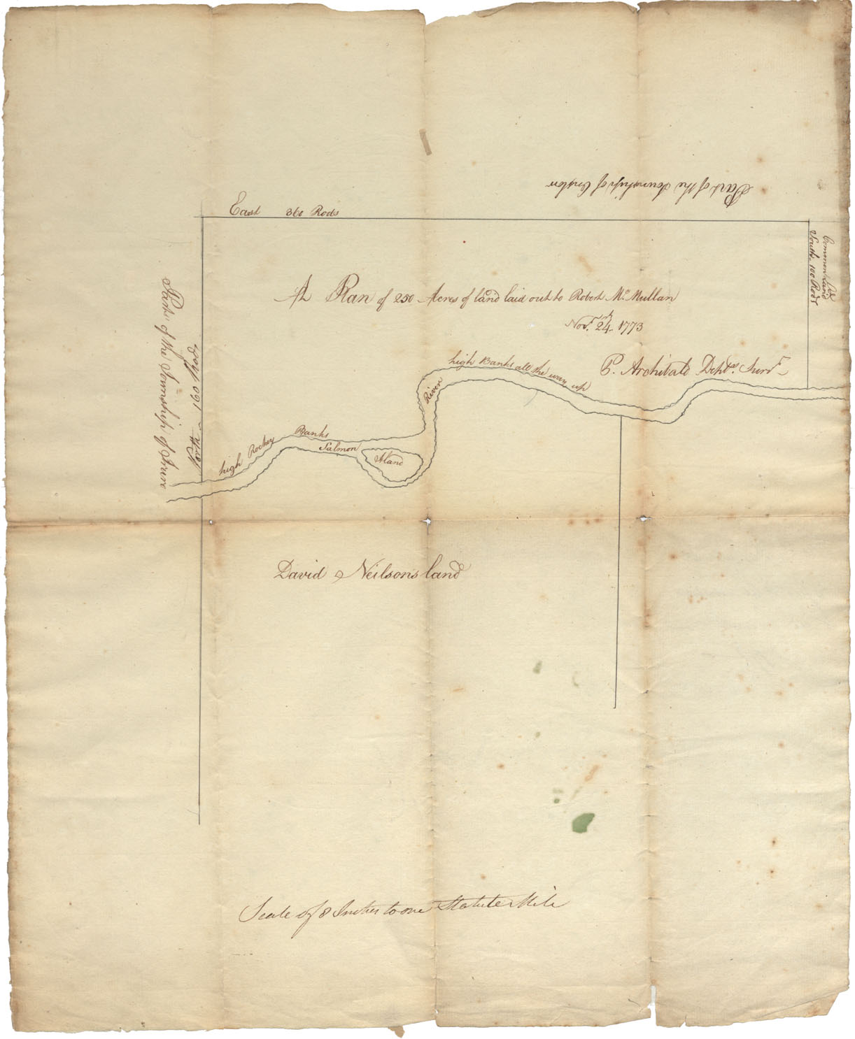
Colchester County Salmon River (high rocky banks) Common Land, township of Onslow & Truro, 1773
Date: 24 November 1773
Reference: Nova Scotia Archives Map Collection: F/230 - 1773
