Nova Scotia Archives
Historical Maps of Nova Scotia
Results 151 to 165 of 296 from your search: V7
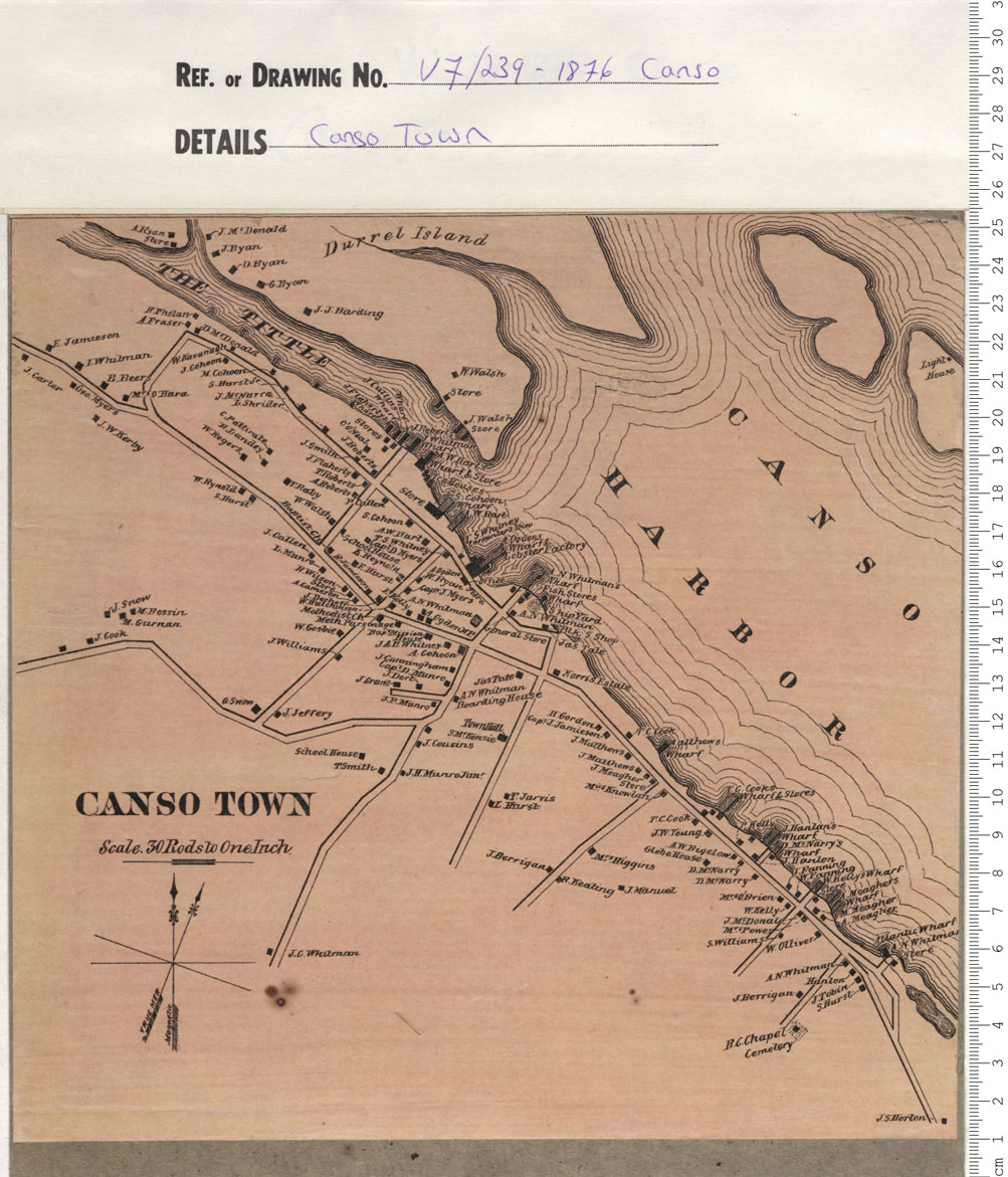
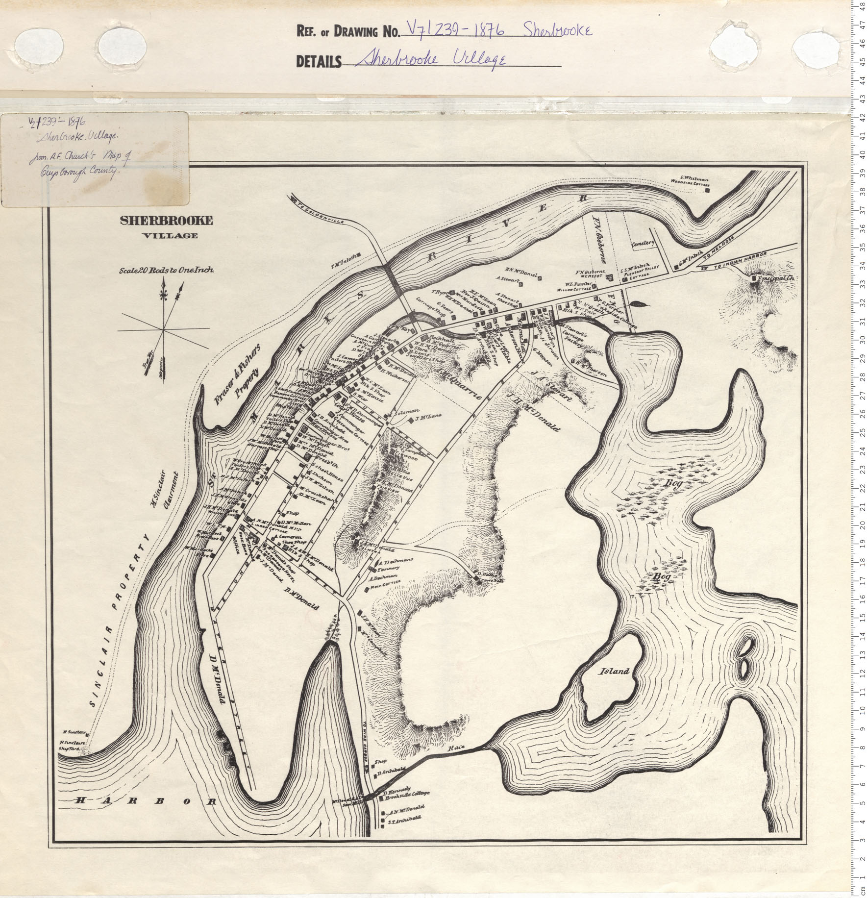
Sherbooke Village
Date: 1876
Reference: Nova Scotia Archives Map Collection: V7 239 Sherbrooke, Nova Scotia
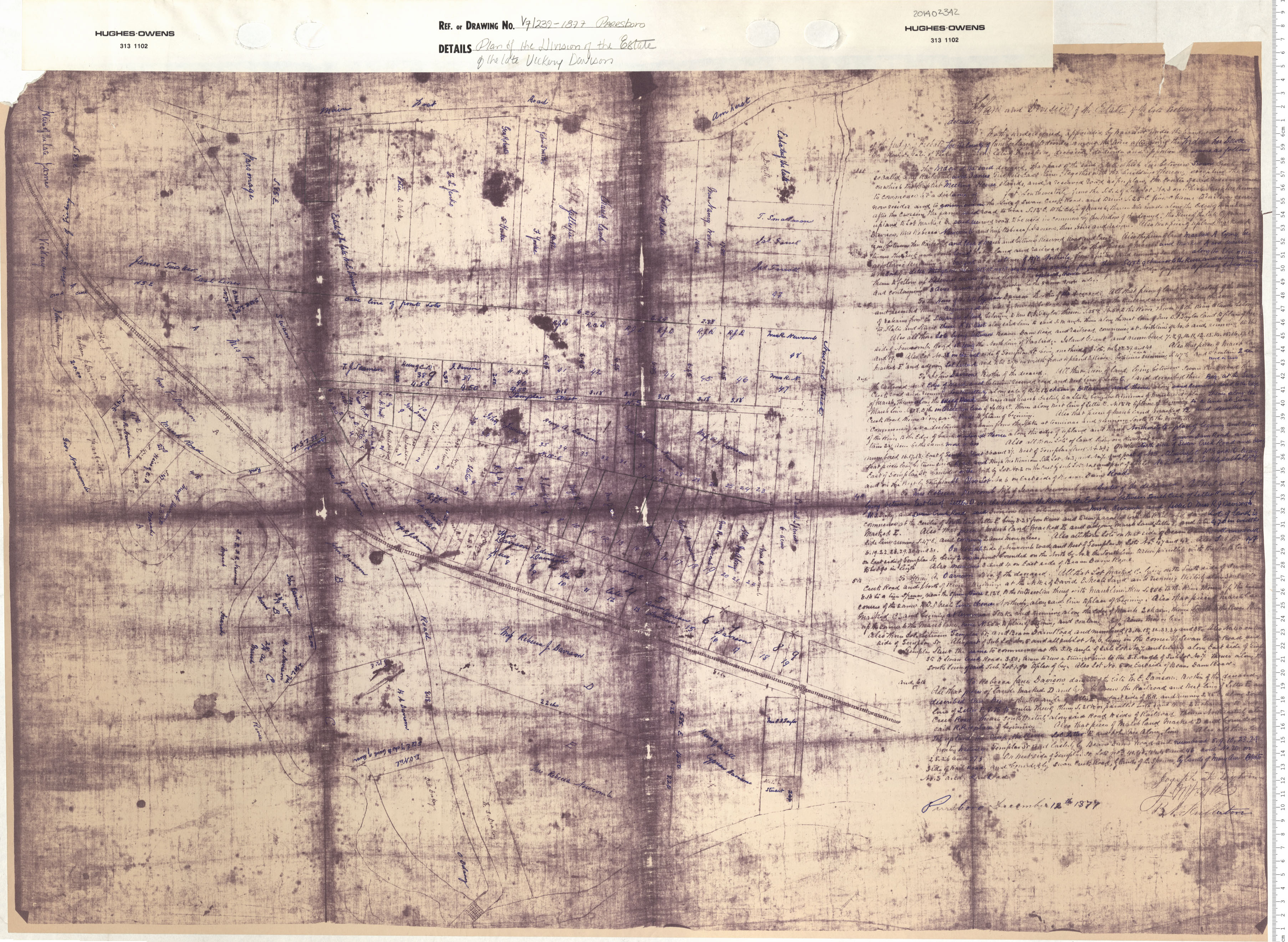
Plan of the Division of the Estate on the Late Vickery Davison
Date: 1877
Reference: Nova Scotia Archives Map Collection: V7 239 Parrsboro, Nova Scotia
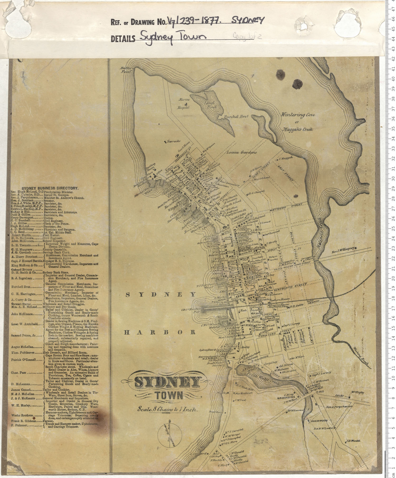
Sydney Township Inset from A.F. Church's Township Maps of Cape Breton County
Date: 1877
Reference: Nova Scotia Archives Map Collection: V7 239 Sydney, Nova Scotia
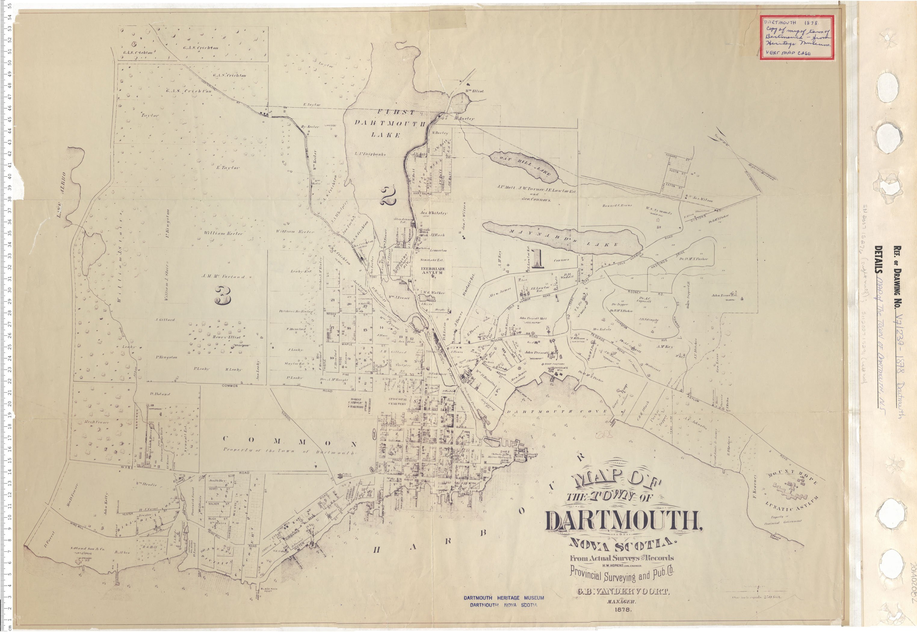
Map of the Town of Dartmouth, Nova Scotia
Date: 1878
Reference: Nova Scotia Archives Map Collection: V7 239 Dartmouth, Nova Scotia
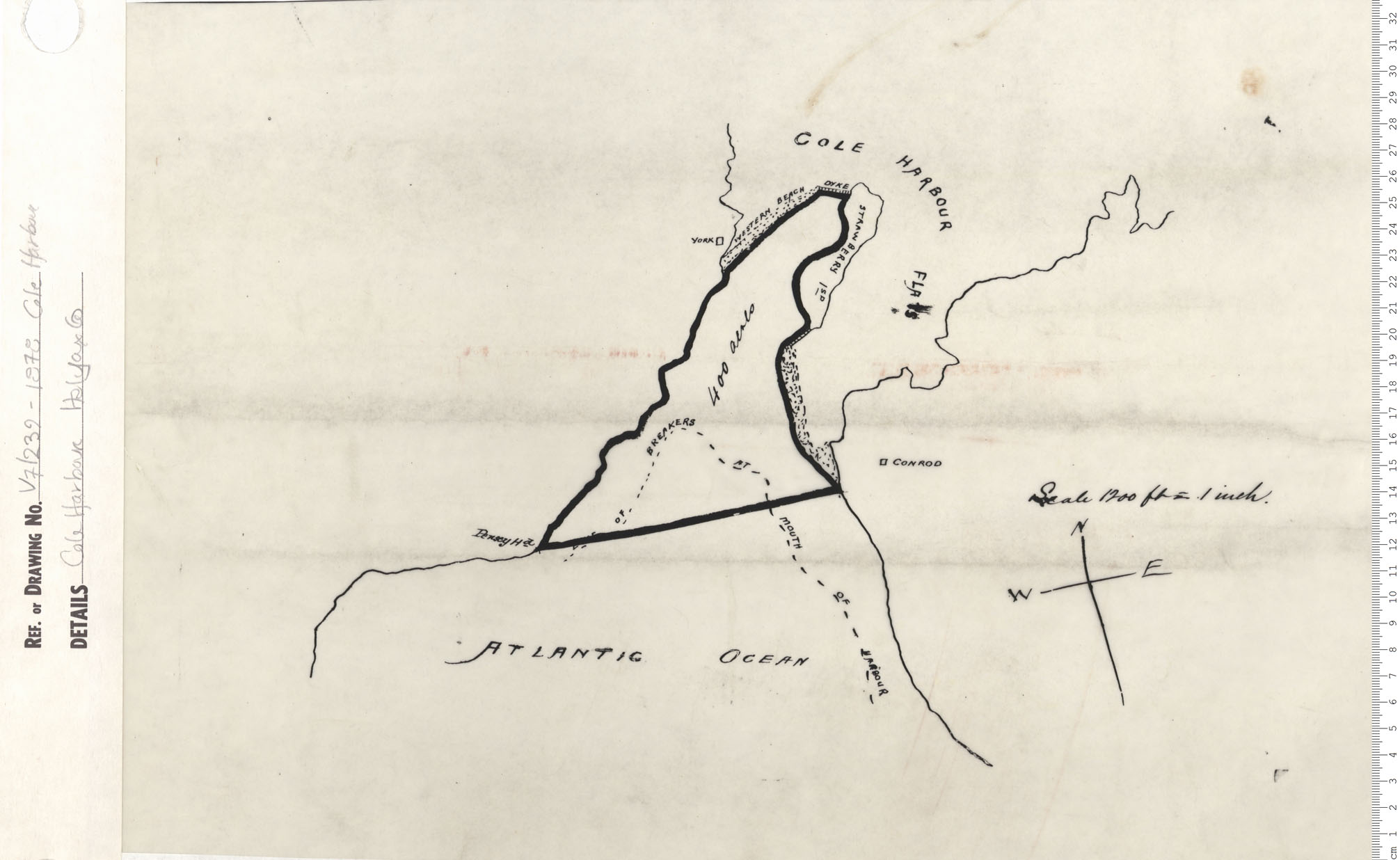
Cole Harbour, Halifax County
Date: 1878
Reference: Nova Scotia Archives Map Collection: V7 239 Cole Harbour, Nova Scotia
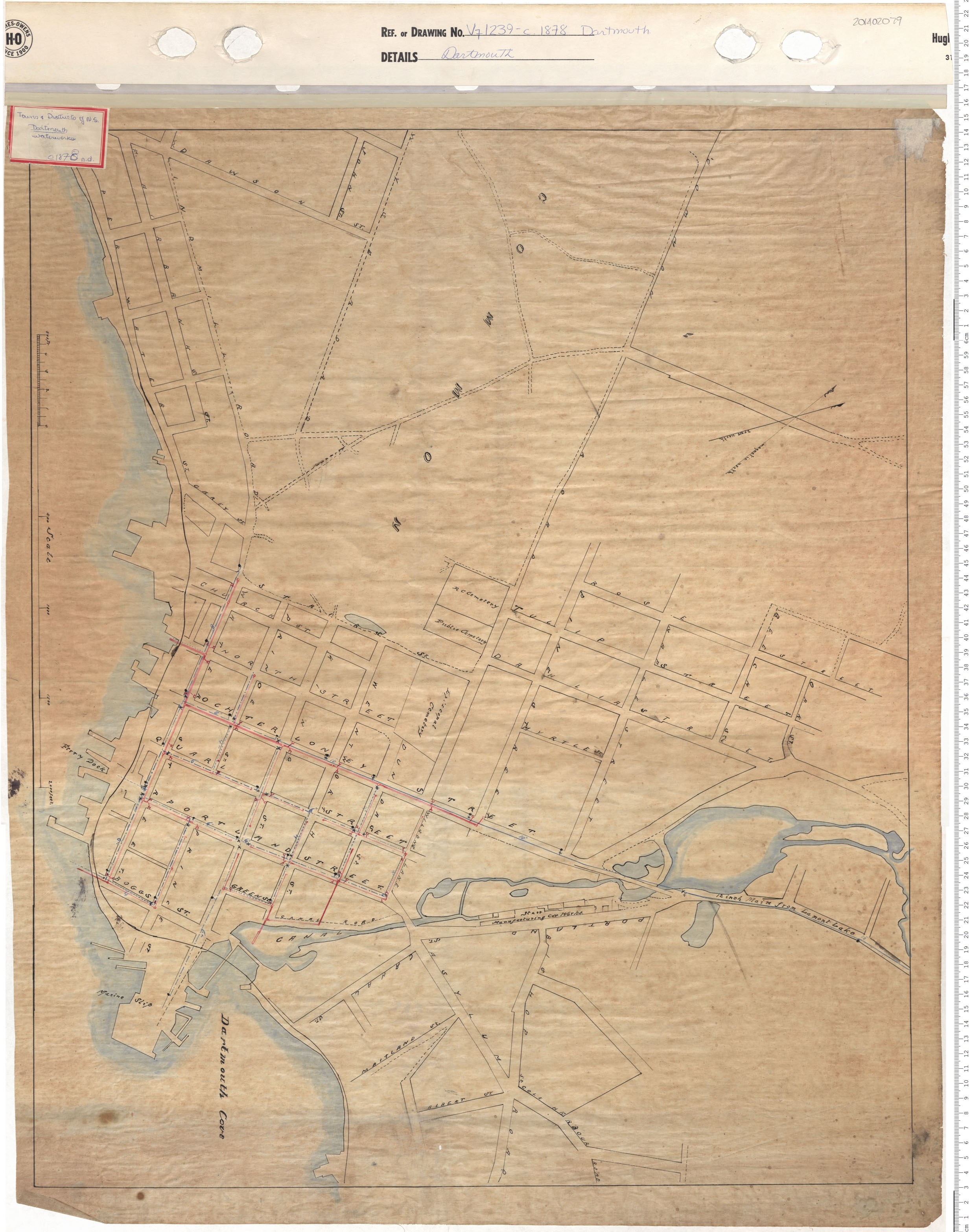
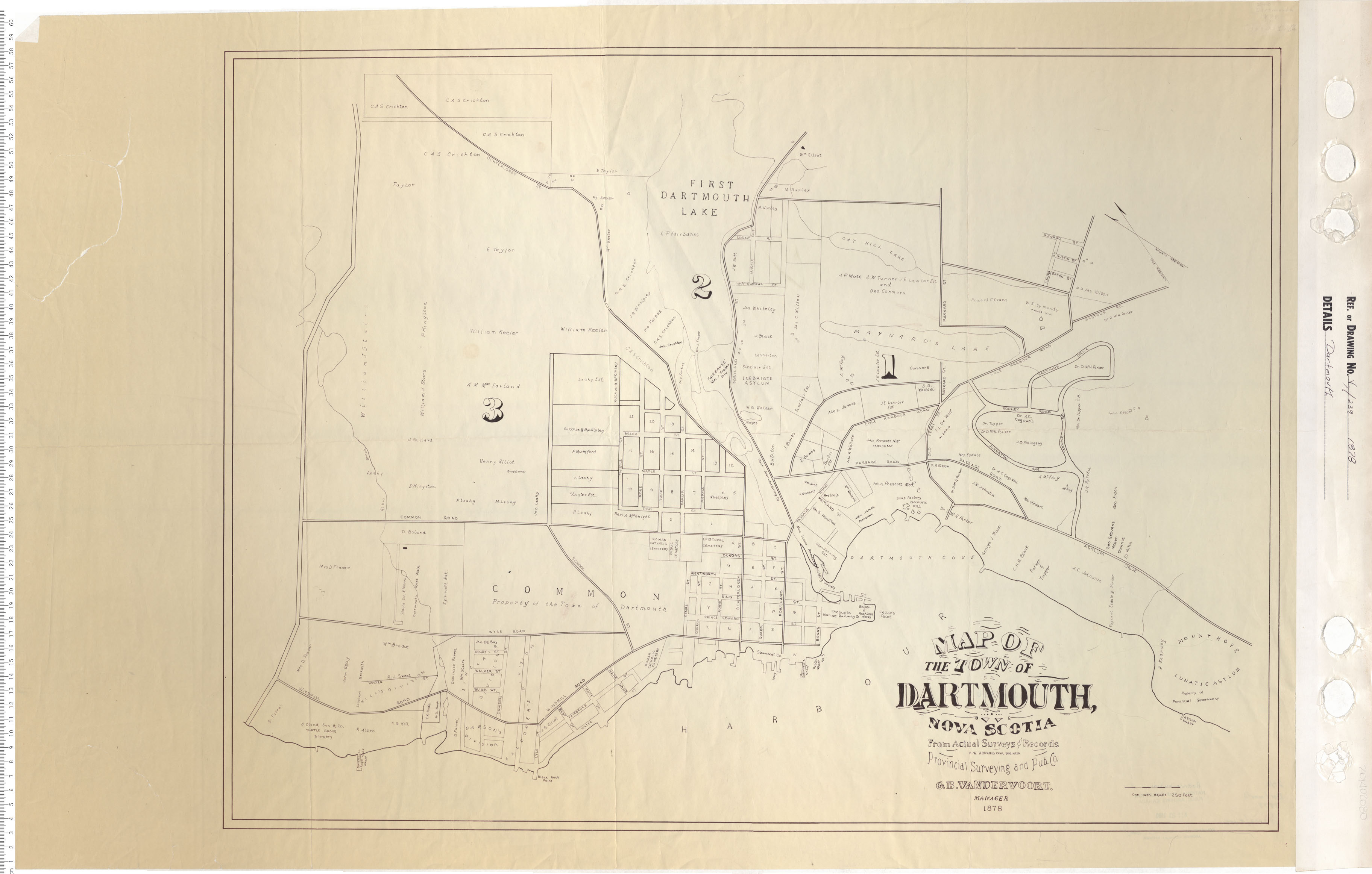
Map of the Town of Dartmouth, Nova Scotia
Date: 1878
Reference: Nova Scotia Archives Map Collection: V7 239 Dartmouth, Nova Scotia
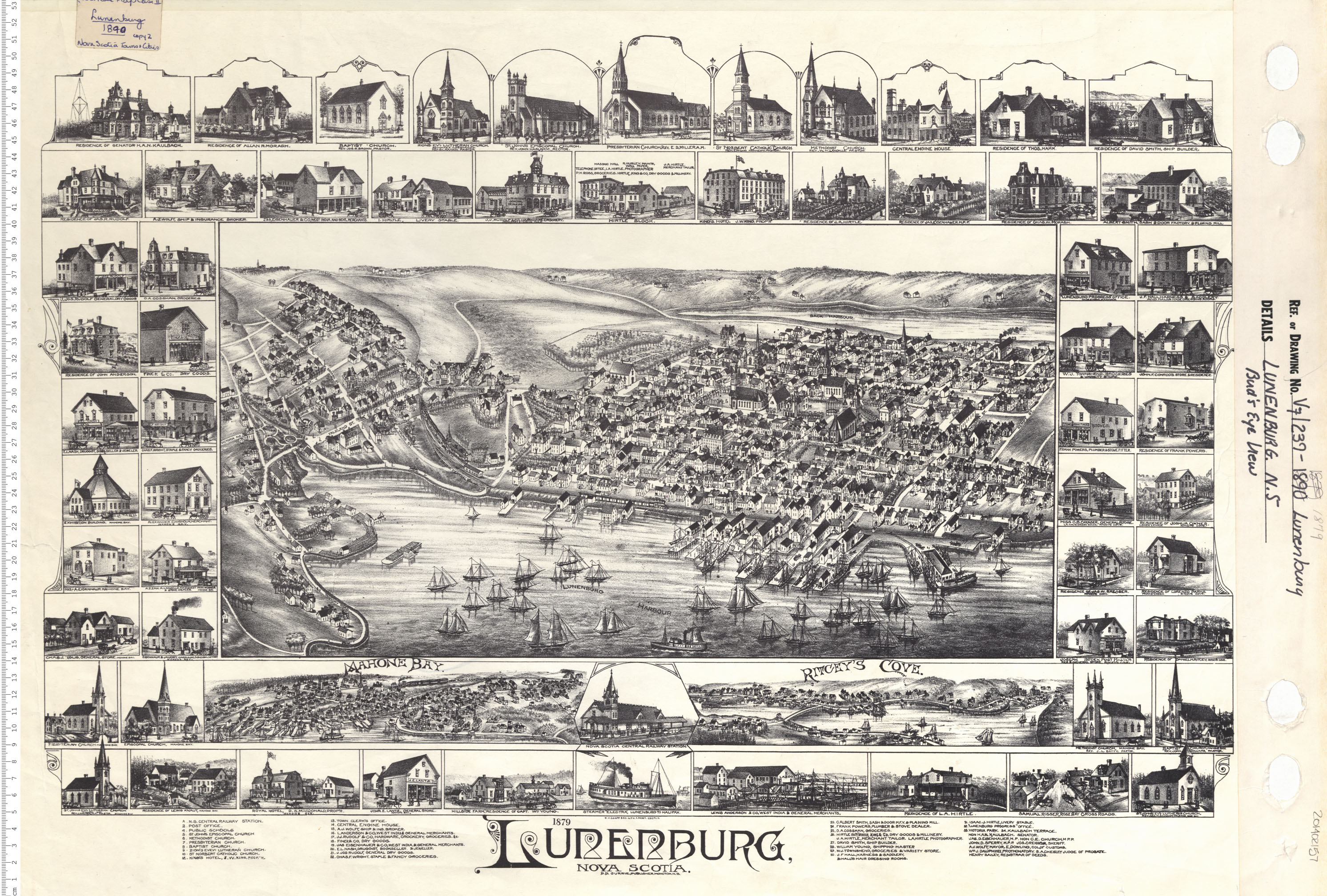
Lunenburg, N.S. Birds Eye View
Date: 1879
Reference: Nova Scotia Archives Map Collection: V7 239 Lunenburg, Nova Scotia
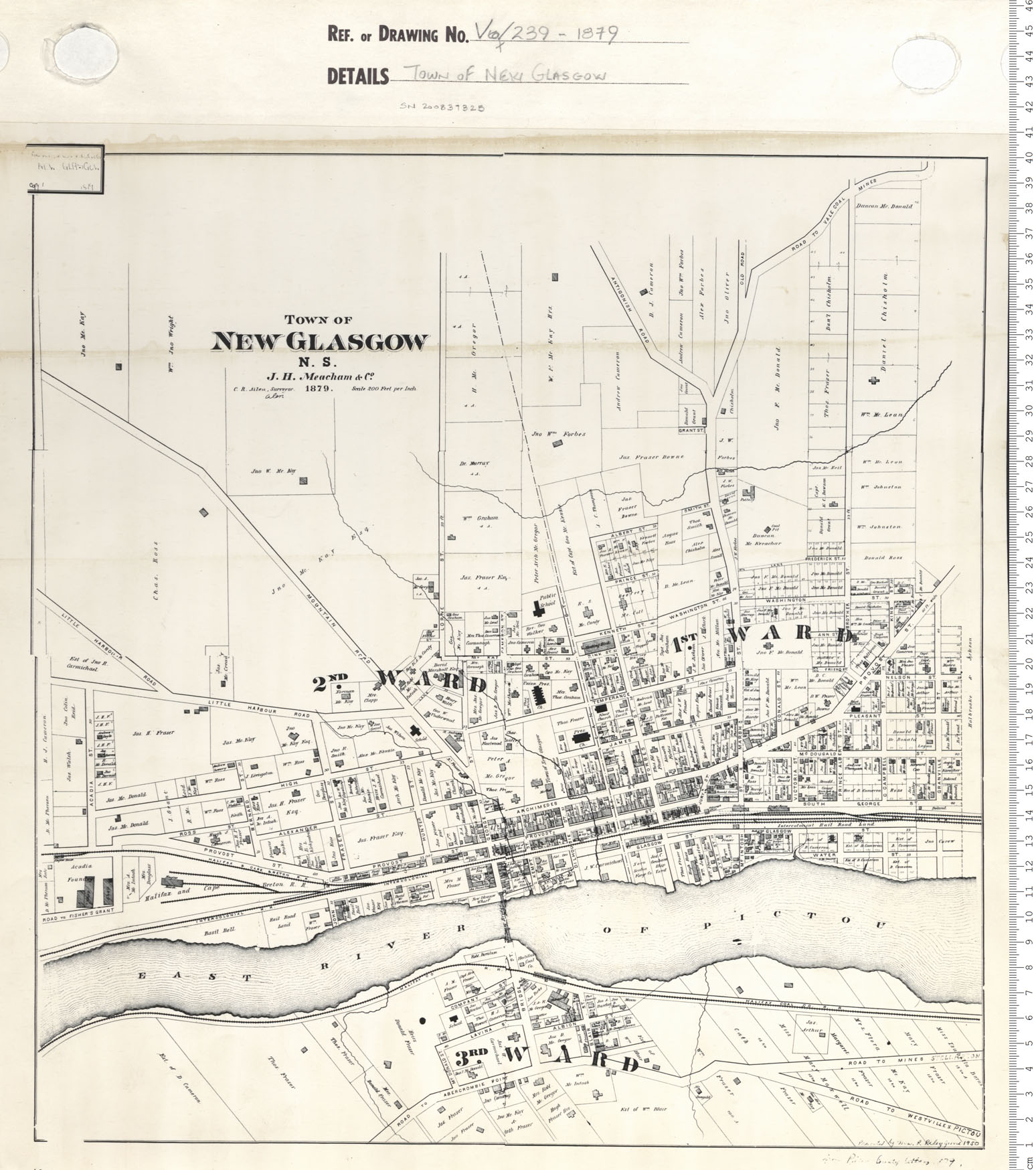
Town of New Glasgow
Date: 1879
Reference: Nova Scotia Archives Map Collection: V7 239 New Glasgow, Nova Scotia
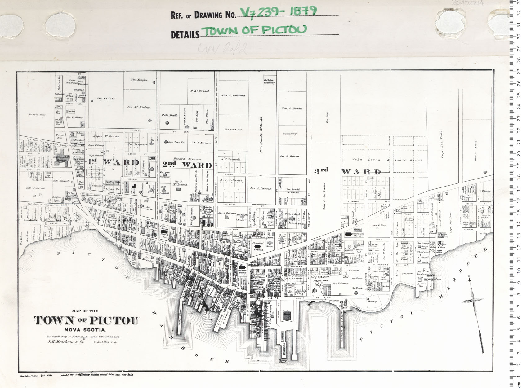
Town of Pictou
Date: 1879
Reference: Nova Scotia Archives Map Collection: V7 239 Pictou, Nova Scotia
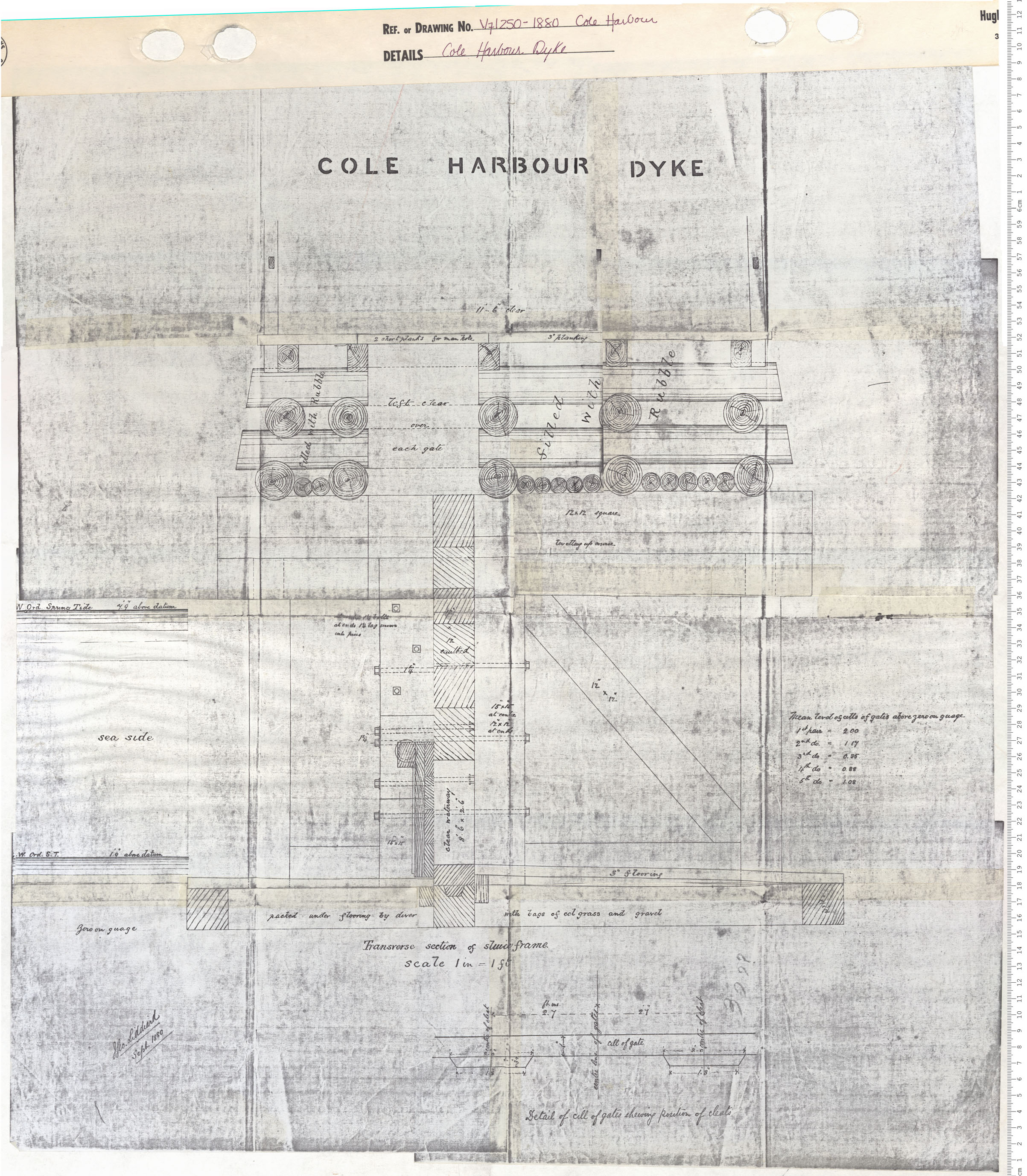
Cole Harbour Dyke
Date: 1880
Reference: Nova Scotia Archives Map Collection: V7 250 Cole Harbour, Nova Scotia
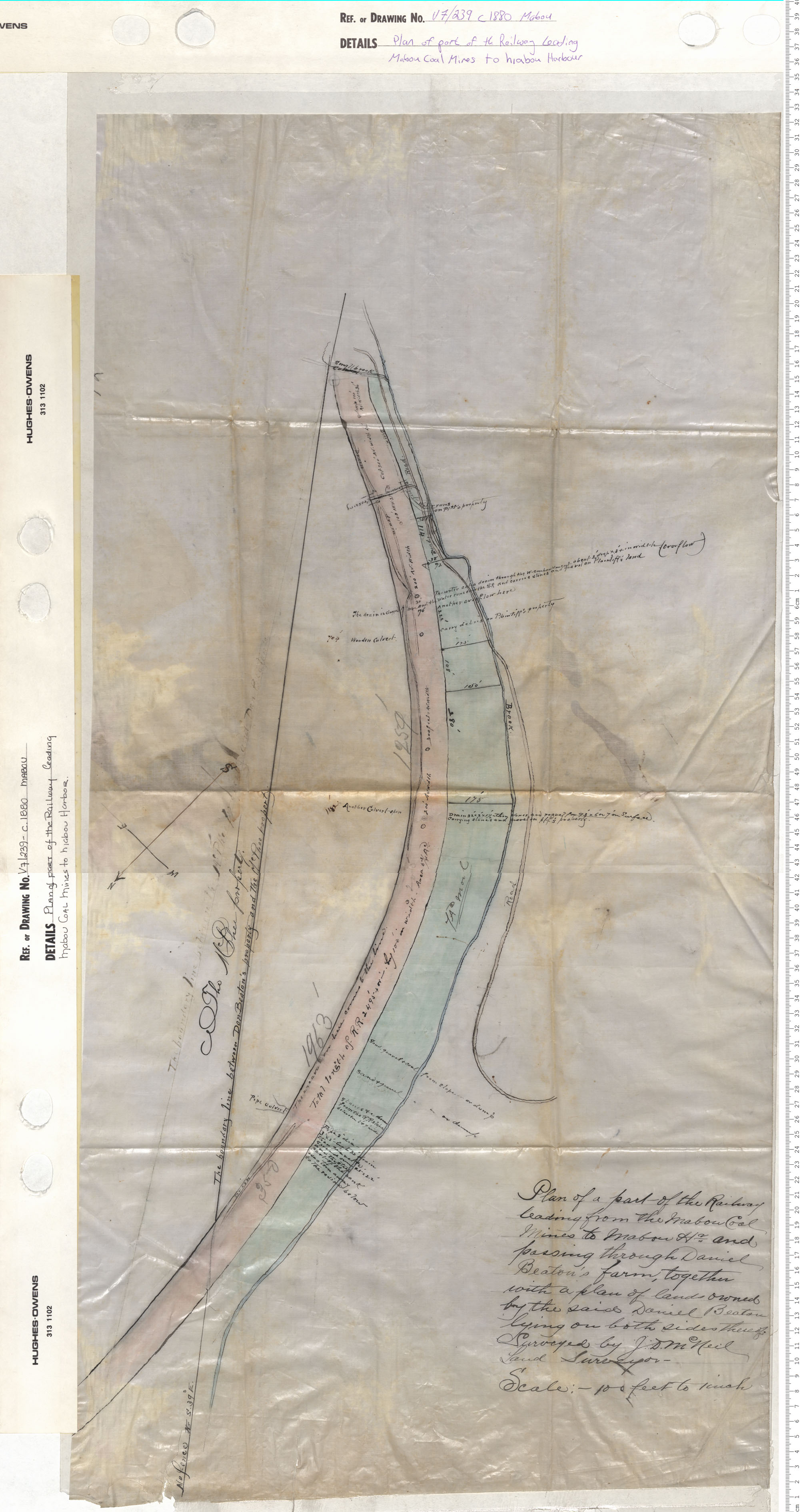
Plan of part of the Railway leading Mabou Coal Mines to Mabou Harbour
Date: 1880
Reference: Nova Scotia Archives Map Collection: V7 239 Mabou, Nova Scotia
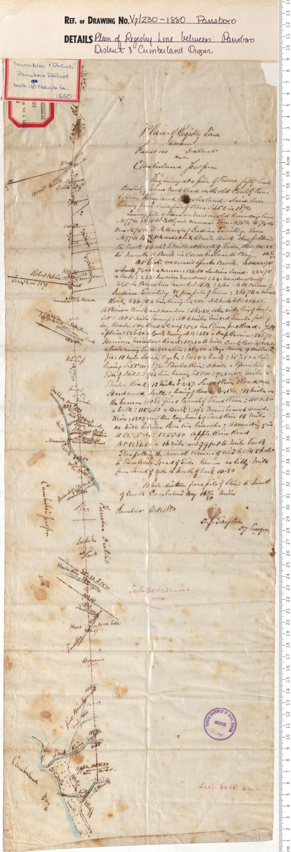
Plan of Registry Line between Parrsboro & Cumberland Proper
Date: 1880
Reference: Nova Scotia Archives Map Collection: V7 230 Parrsboro, Nova Scotia
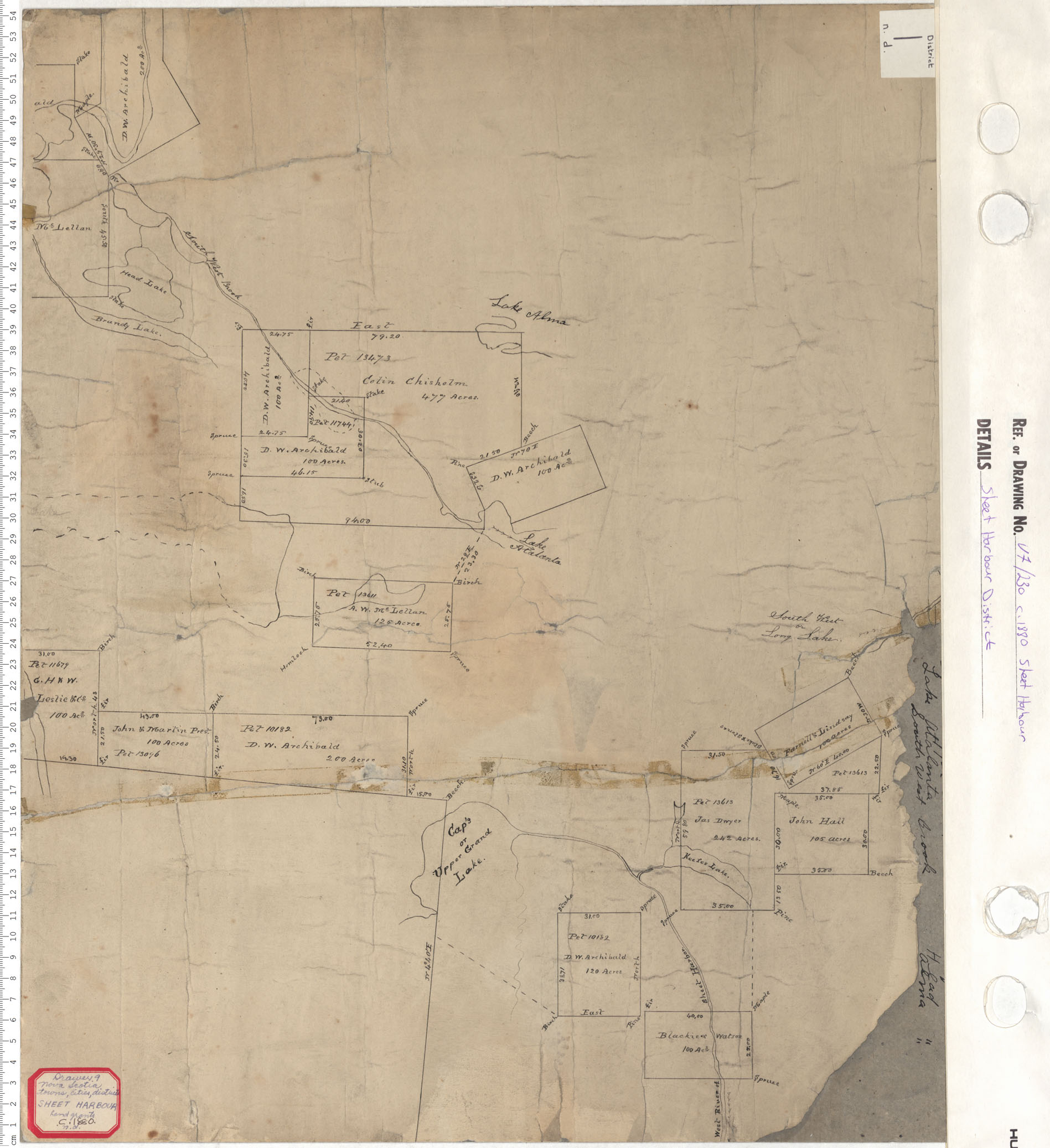
Sheet Harbour District
Date: 1880
Reference: Nova Scotia Archives Map Collection: V7 230 Sheet Harbour, Nova Scotia
