Nova Scotia Archives
Historical Maps of Nova Scotia
Results 196 to 210 of 296 from your search: V7
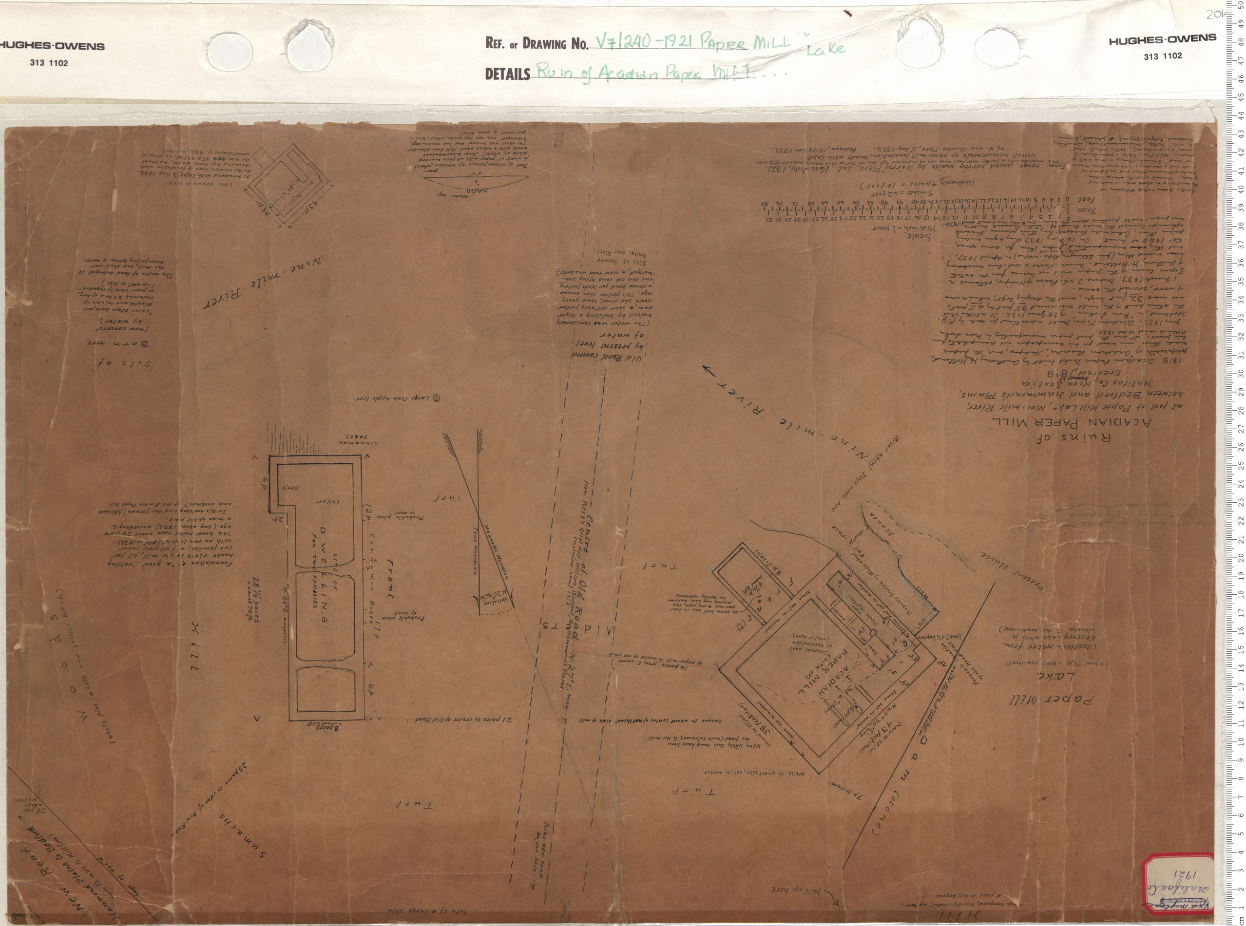
Ruins of Acadian Paper Mill
Date: 1921
Reference: Nova Scotia Archives Map Collection: V7 240 Paper Mill Lake, Nova Scotia
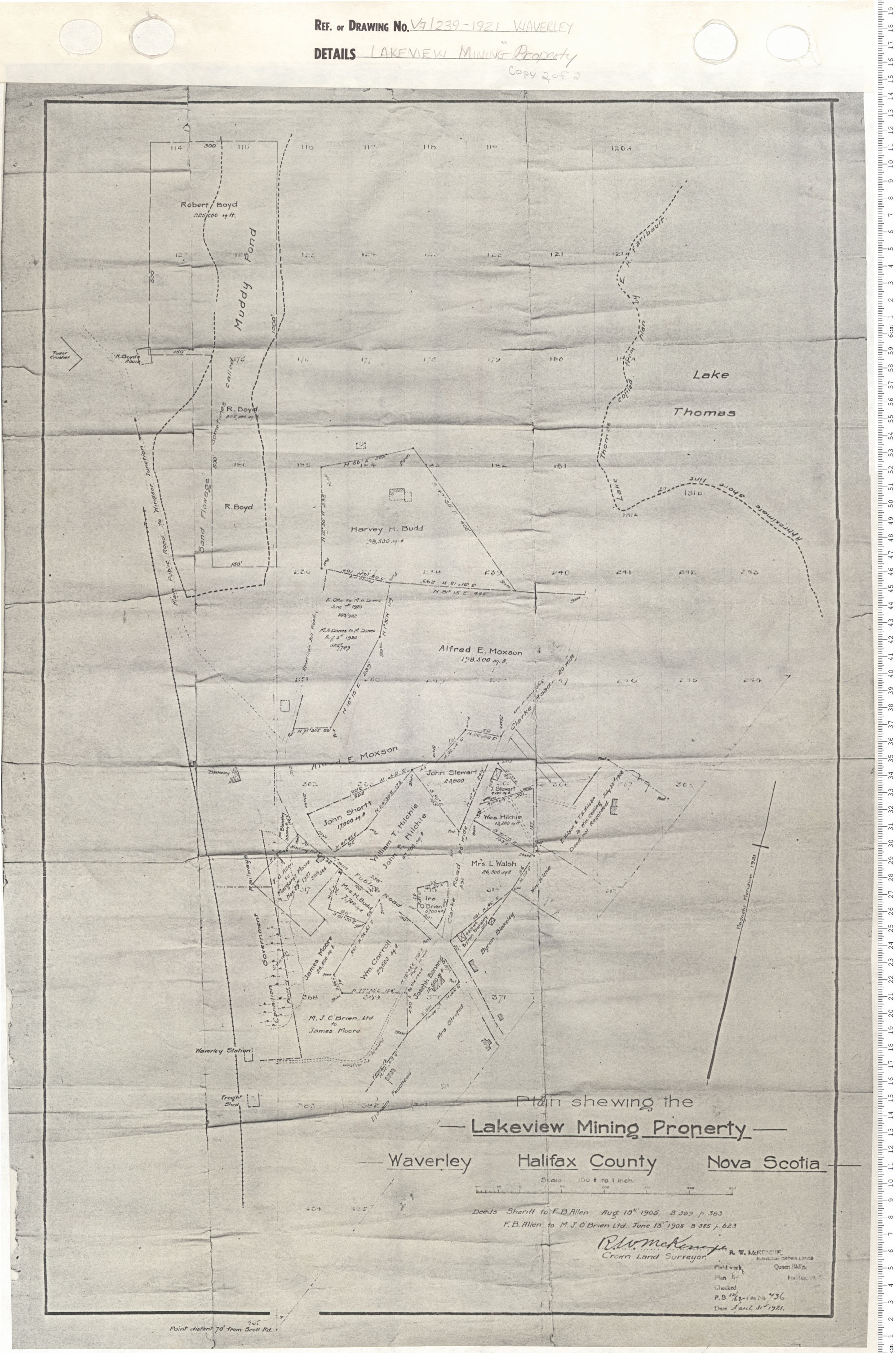
Lake View Mining Property
Date: 1921
Reference: Nova Scotia Archives Map Collection: V7 239 Waverly, Nova Scotia
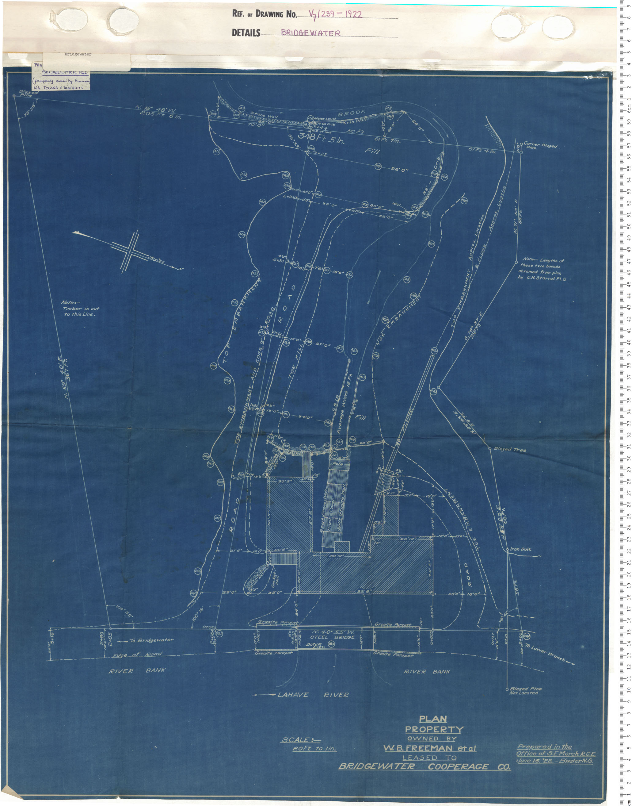
Plan property owned by W.B. Freeman et al leased to Bridgewater Cooperage Company
Date: 1922
Reference: Nova Scotia Archives Map Collection: V7 239 Bridgewater, Nova Scotia
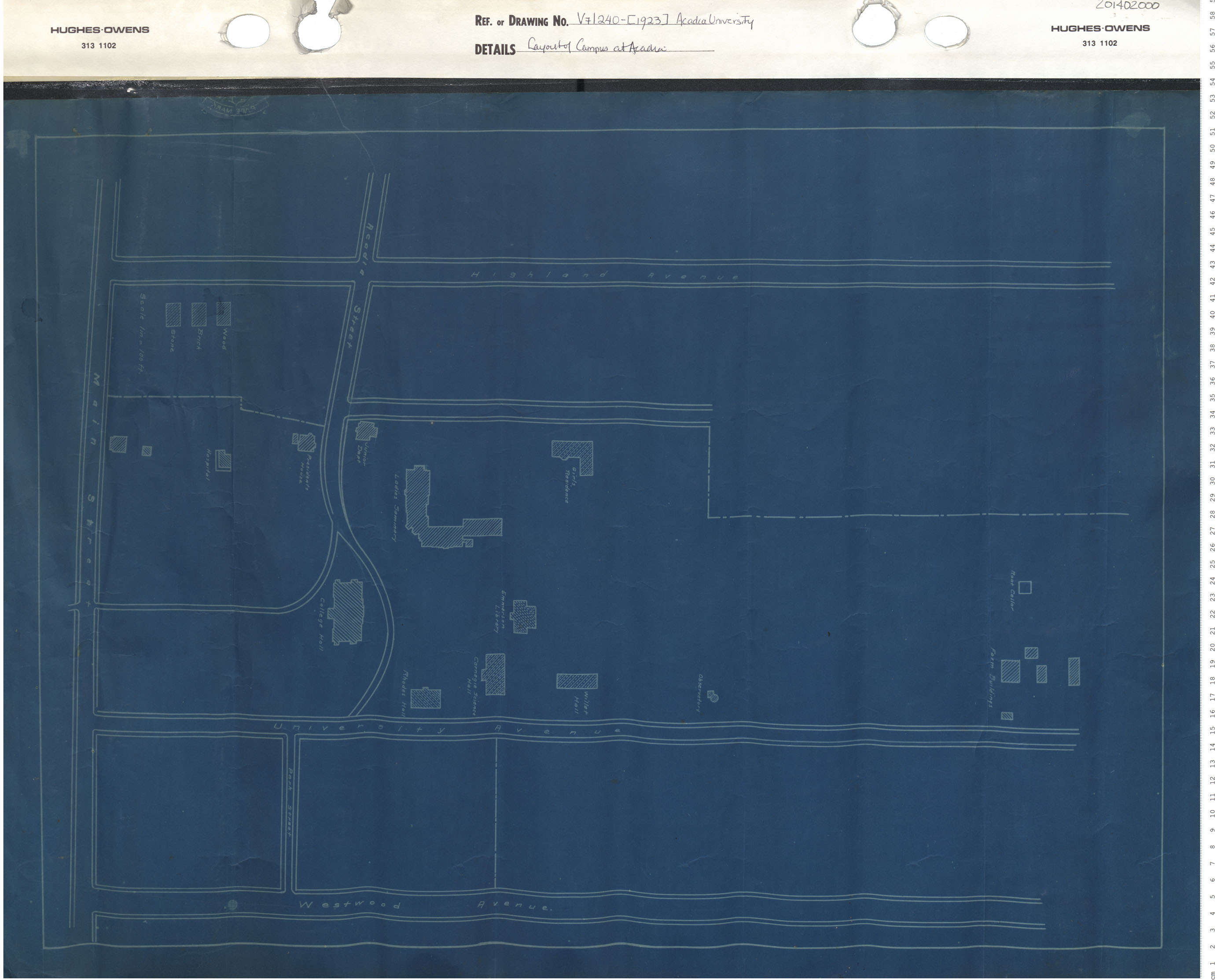
Layout of campus of Acadia University
Date: 1923
Reference: Nova Scotia Archives Map Collection: V7 240 Wolfville, Nova Scotia
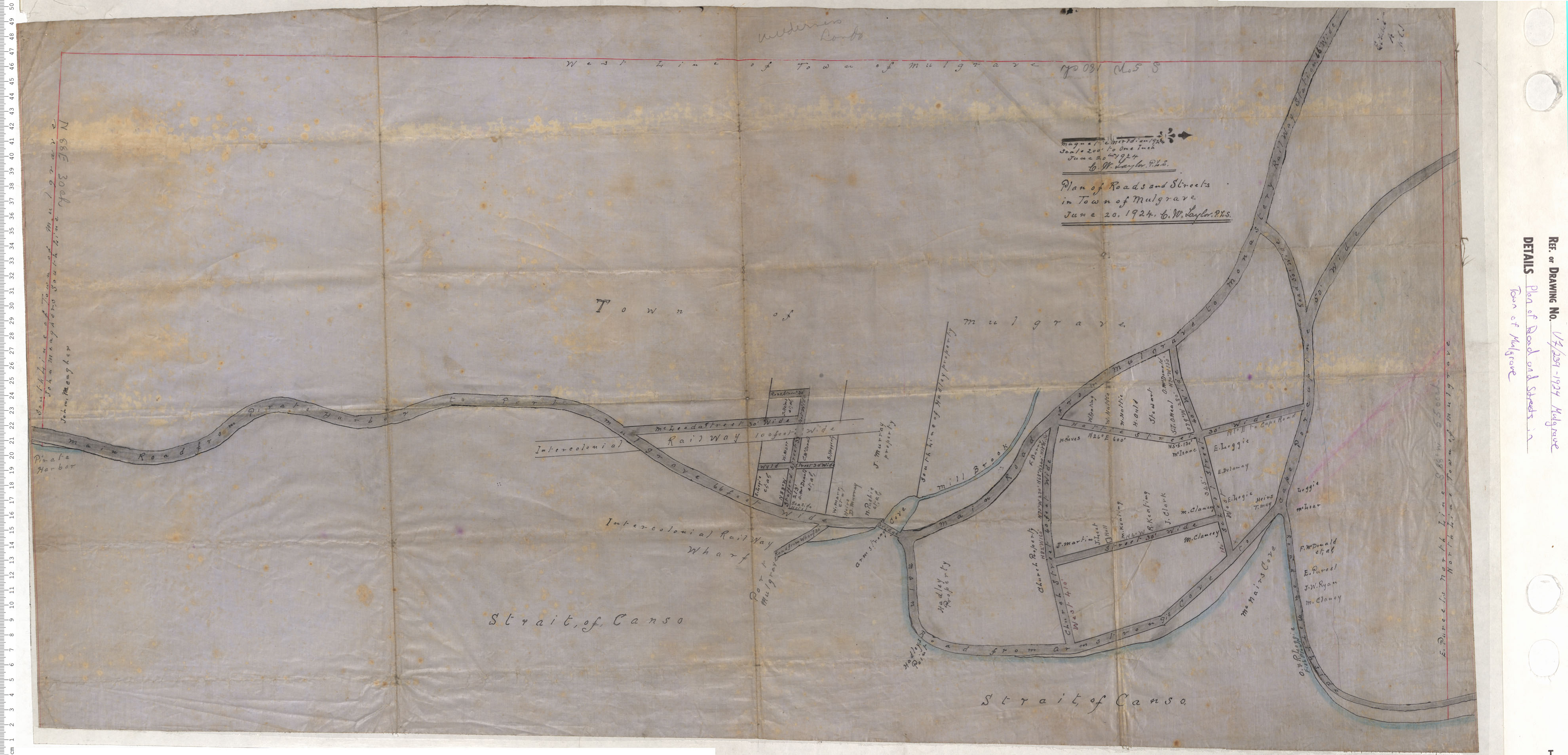
Plan of Road and Streets in Town of Mulgrave
Date: 1924
Reference: Nova Scotia Archives Map Collection: V7 239 Mulgrave, Nova Scotia
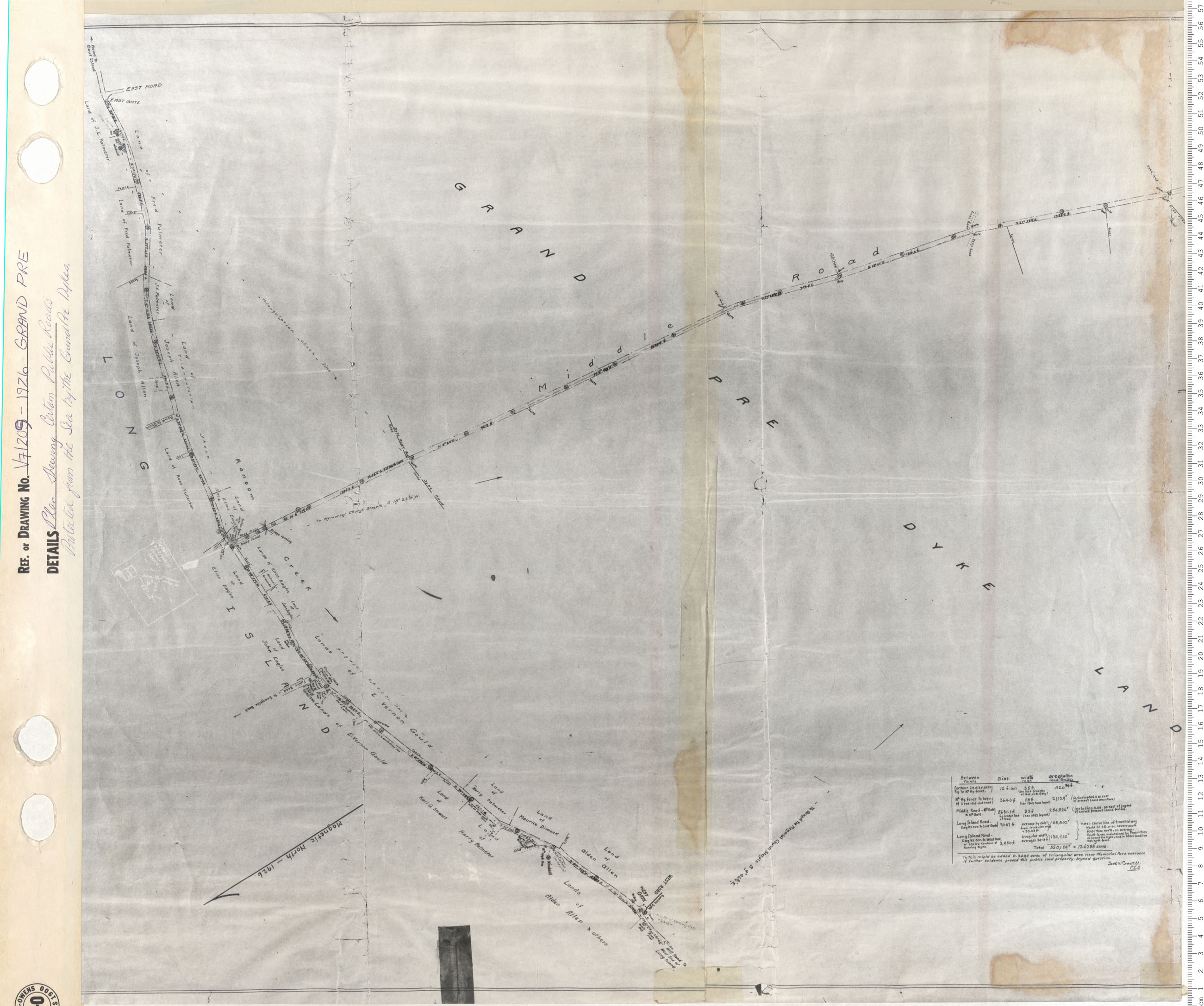
Plan shewing Certain Public Roads protected from the Sea. By the Grand Pre Dykes
Date: 1926
Reference: Nova Scotia Archives Map Collection: V7 209 Grand Pre, Nova Scotia
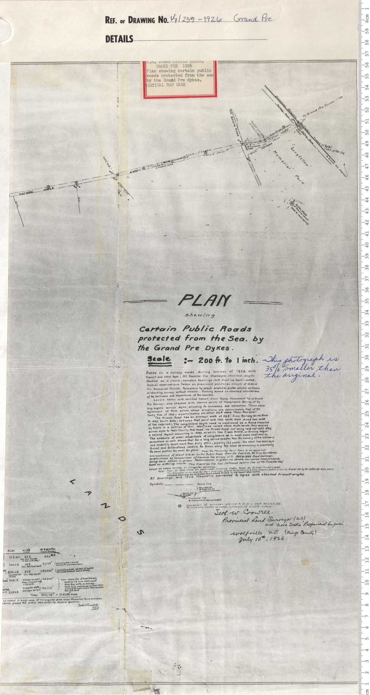
Plan shewing Certain Public Roads protected from the Sea. By the Grand Pre Dykes
Date: 1926
Reference: Nova Scotia Archives Map Collection: V7 239 Grand Pre, Nova Scotia
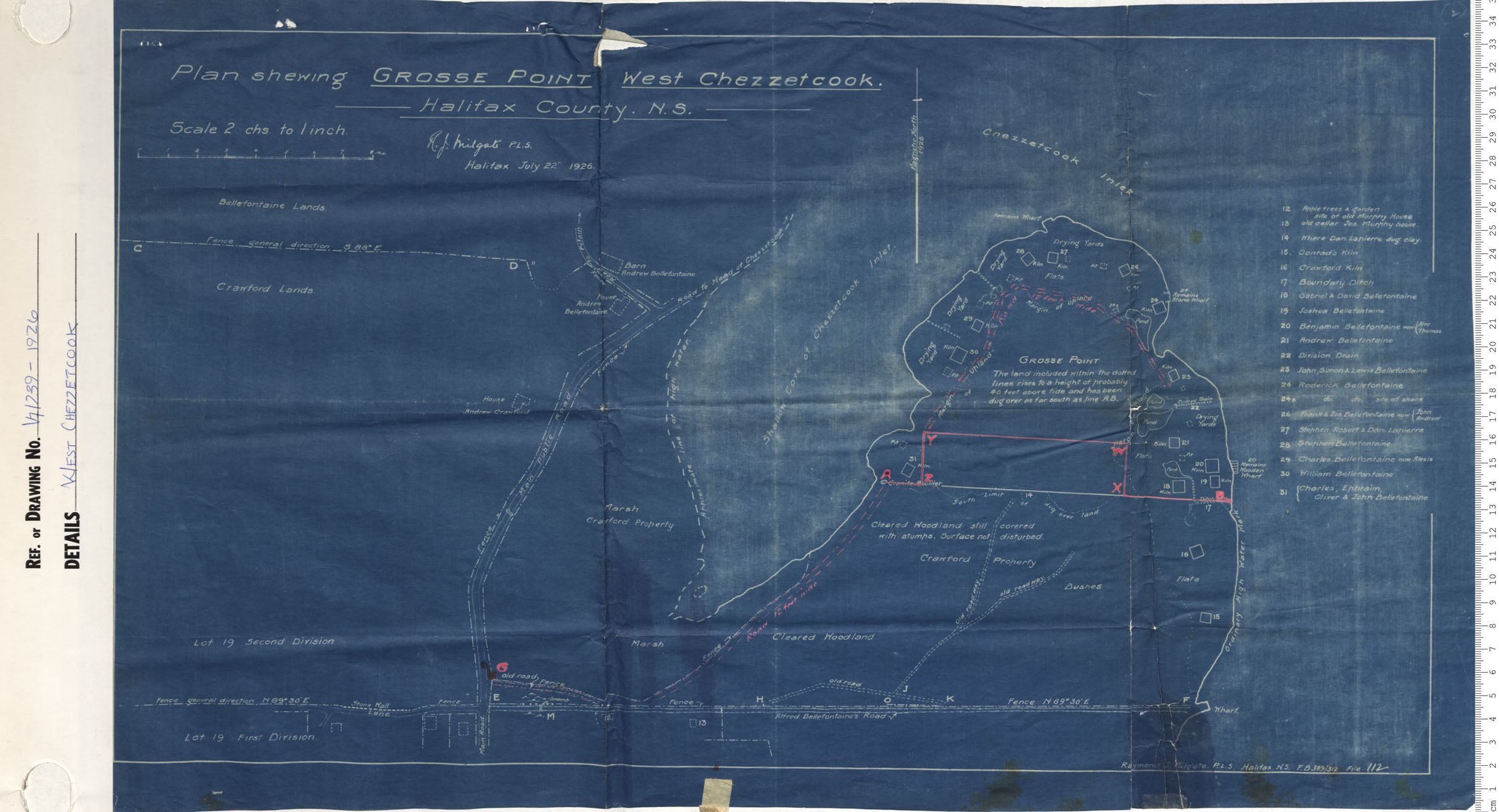
West Chezzetcook
Date: 1926
Reference: Nova Scotia Archives Map Collection: V7 239 West Chezzetcook, Nova Scotia
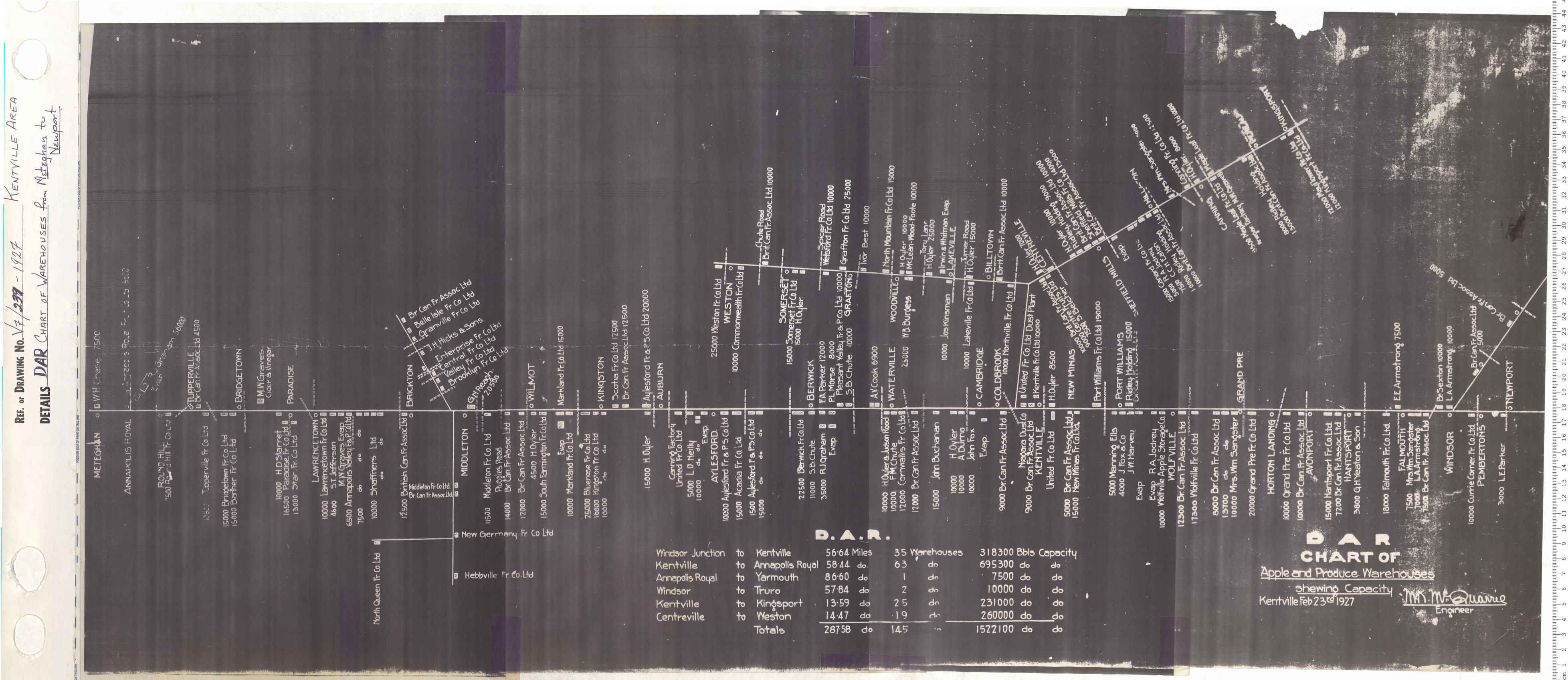
DAR Chart of Warehouse from Meteghan to Newport
Date: 1927
Reference: Nova Scotia Archives Map Collection: V7 239 Kentville Area, Nova Scotia
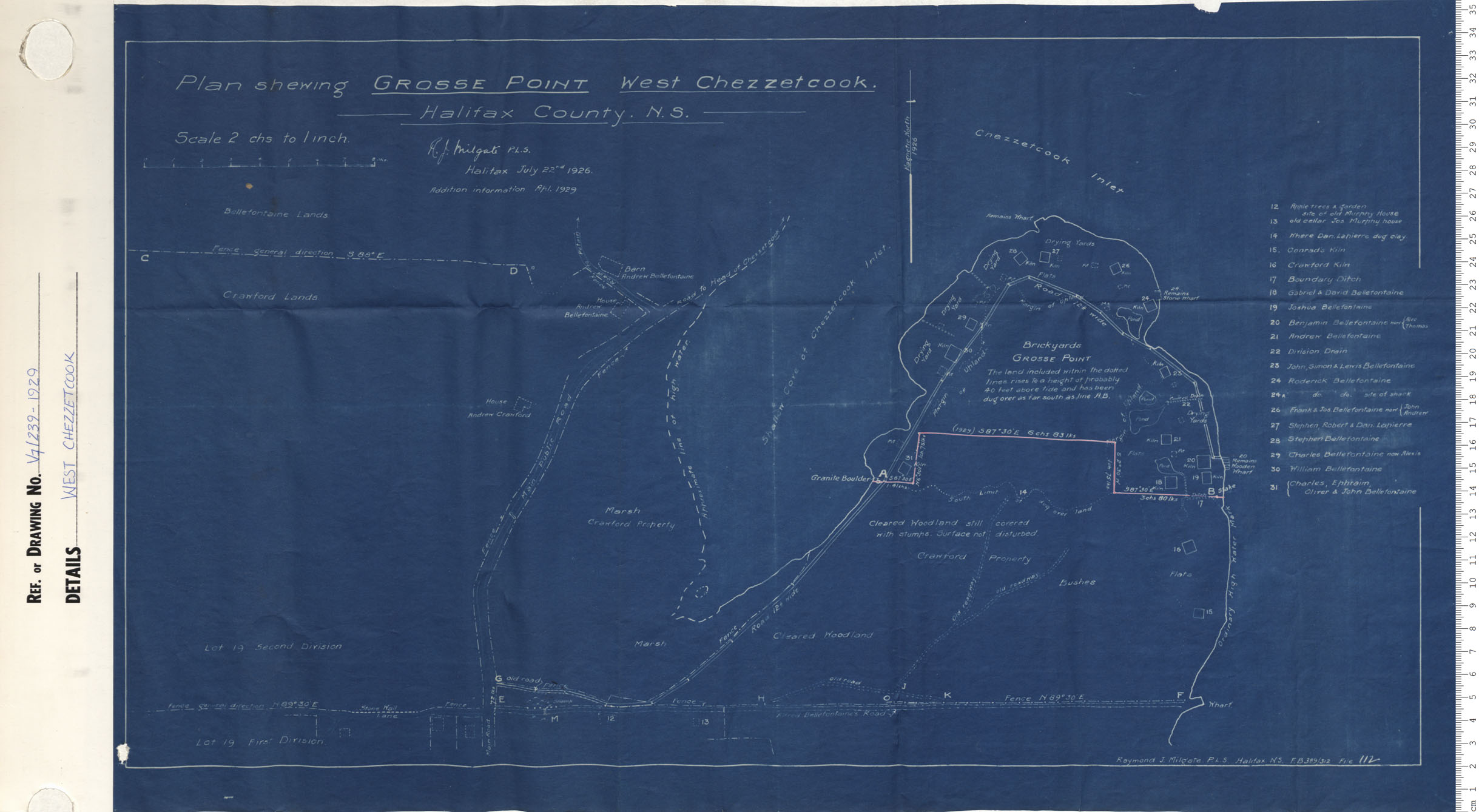
West Chezzetcook
Date: 1929
Reference: Nova Scotia Archives Map Collection: V7 239 West Chezzetcook, Nova Scotia
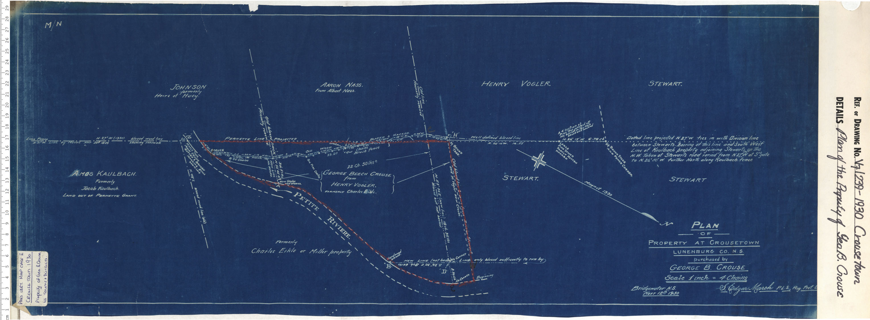
Plan of the Property of Geo B. Crouse
Date: 1930
Reference: Nova Scotia Archives Map Collection: V7 239 Crouse Town, Nova Scotia
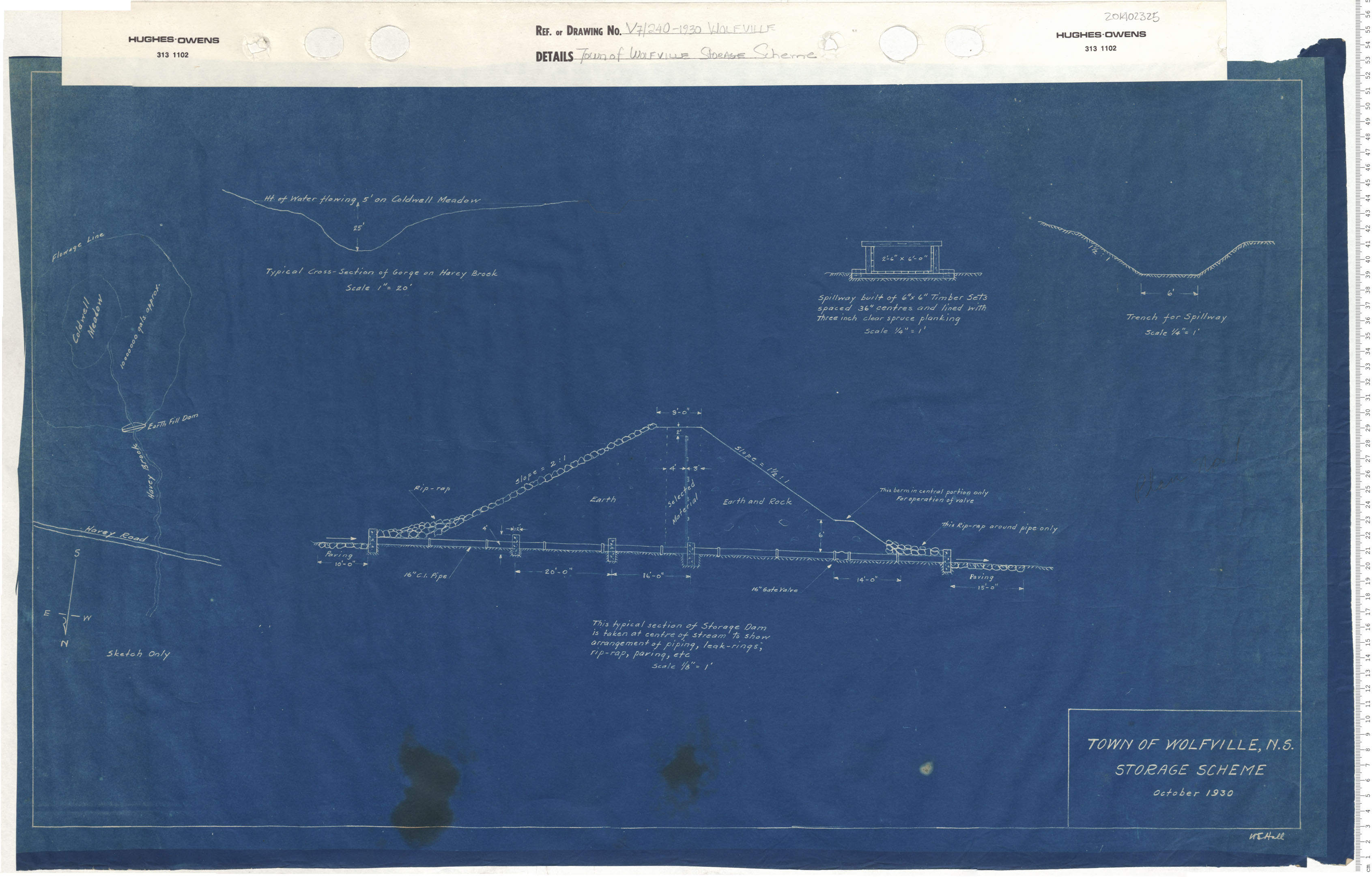
Town of Wolfville Storage Scheme
Date: 1930
Reference: Nova Scotia Archives Map Collection: V7 240 Wolfville, Nova Scotia
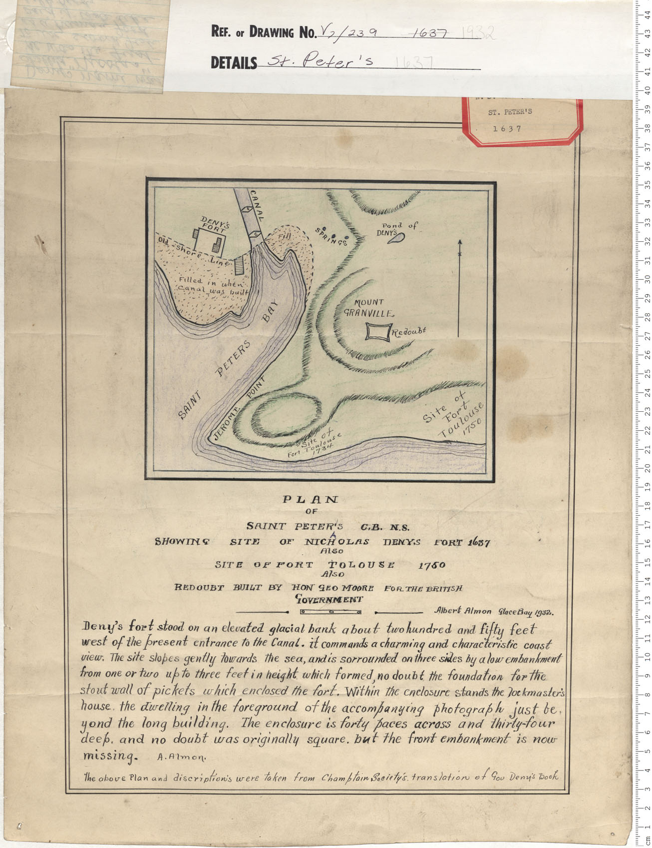
St. Peter's 1637
Date: 1932
Reference: Nova Scotia Archives Map Collection: V7 239 St. Peter's, Nova Scotia
