Nova Scotia Archives
Historical Maps of Nova Scotia
Results 61 to 75 of 827 from your search: 1900
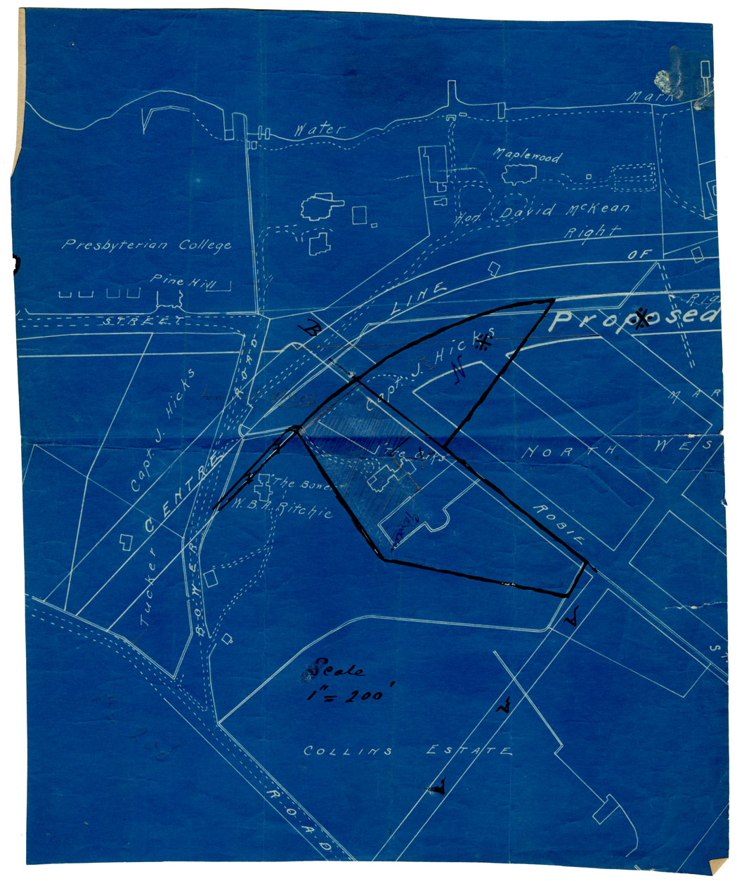
Maps: Halifax, circa 1910 "The Oaks" Property
Date: 1910
Reference: Nova Scotia Archives Map Collection: F/240 - 1910
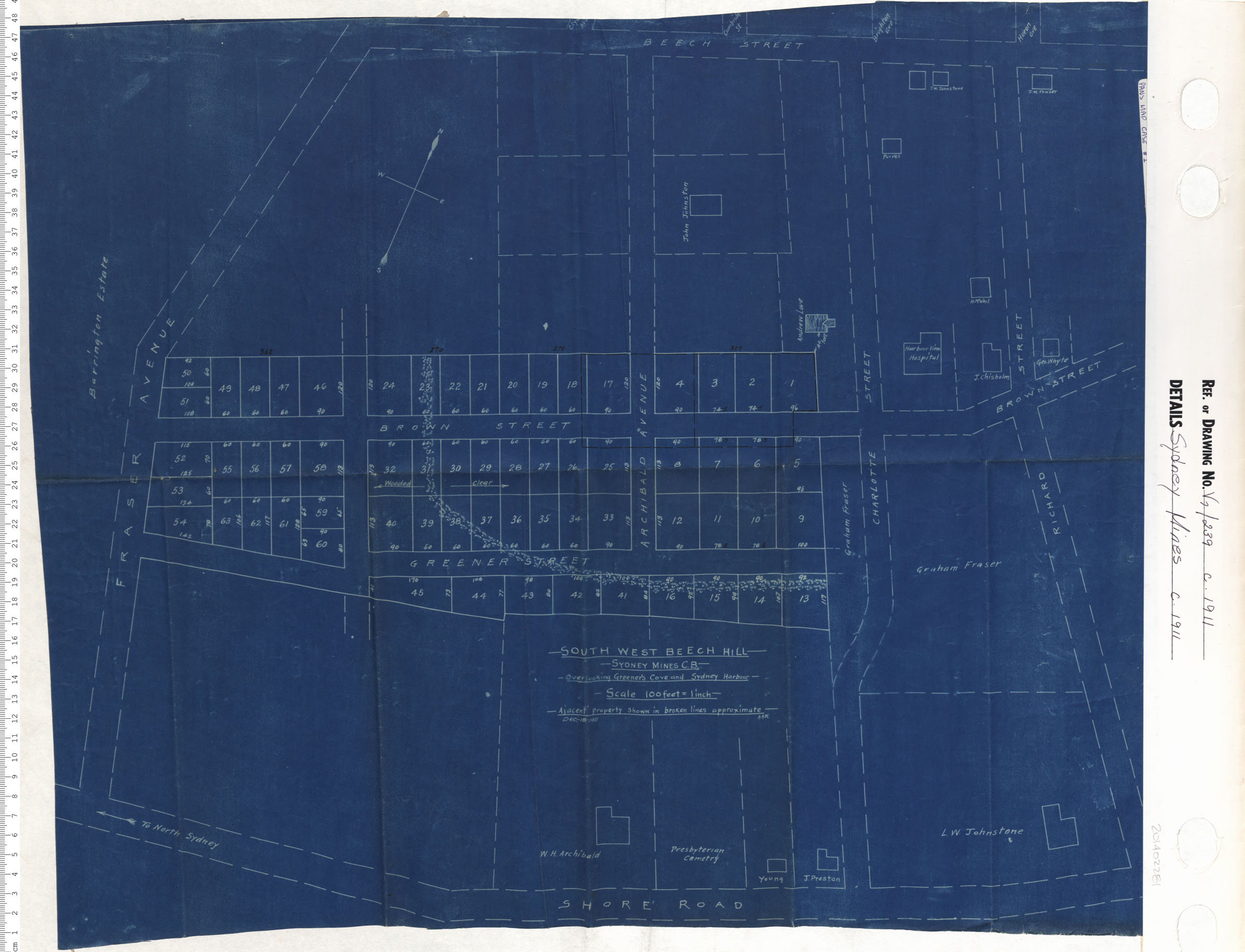
Sydney Mine
Date: 1911
Reference: Nova Scotia Archives Map Collection: V7 239 Sydney Mines, Nova Scotia
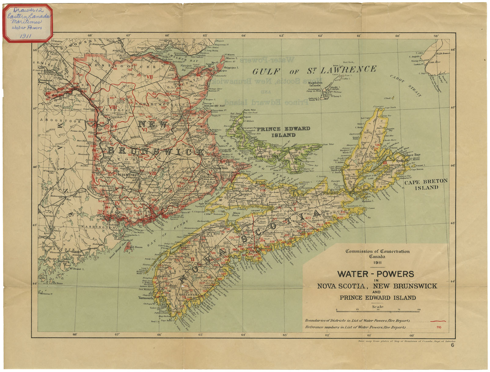
Commission of Conservation. Canada 1911. Water-Powers in Nova Scotia, New Brunswick and Prince Edward Isalnd 1911
Date: 1911
Reference: Nova Scotia Archives Map Collection: F/200 - 1911
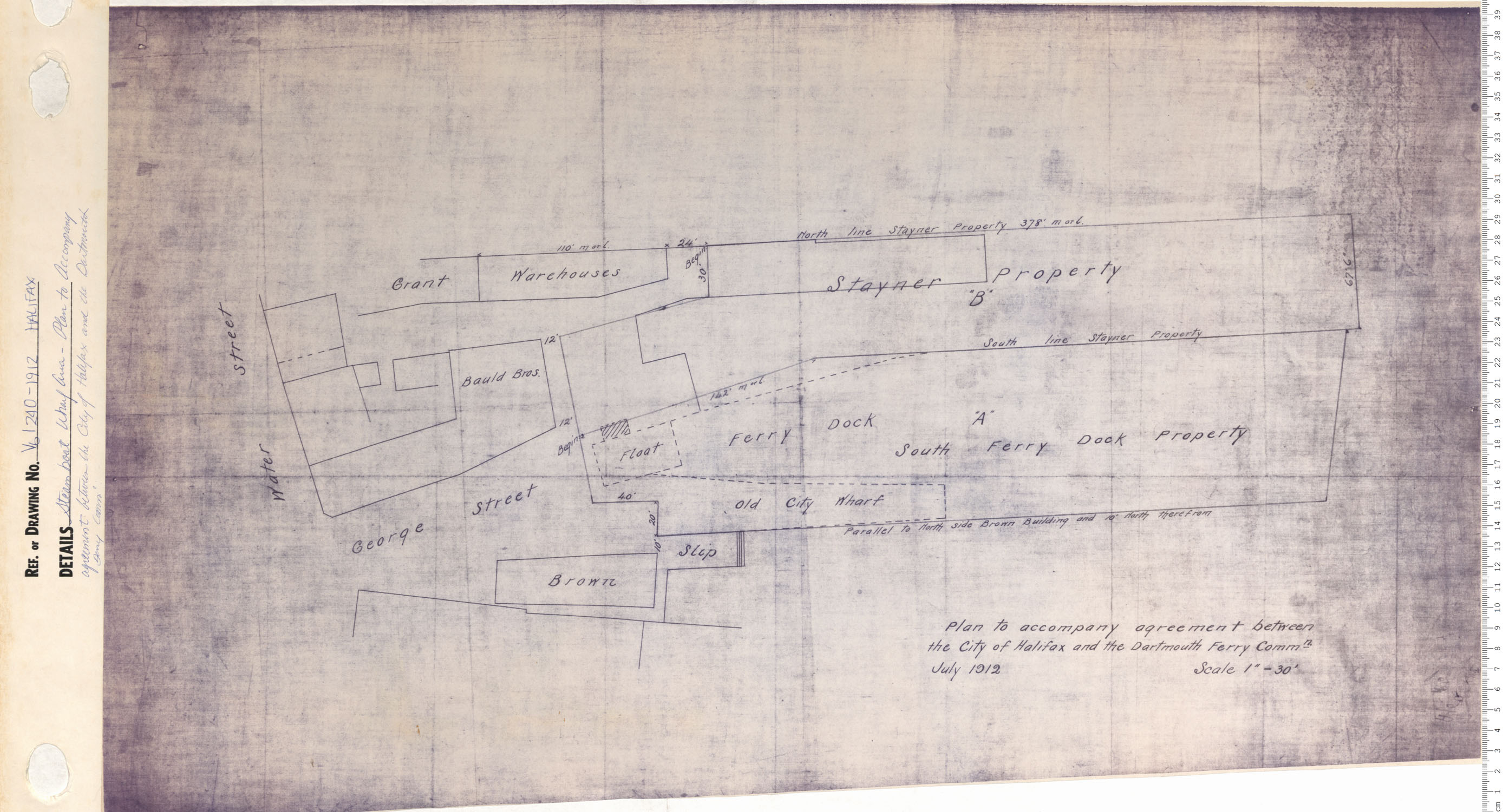
Steam Boat Wharf Area-Plan to accompany agreement between the city of Halifax and the Darmouth ferry Commission
Date: 1912
Reference: Nova Scotia Archives Map Collection: V6 240 Halifax, Nova Scotia
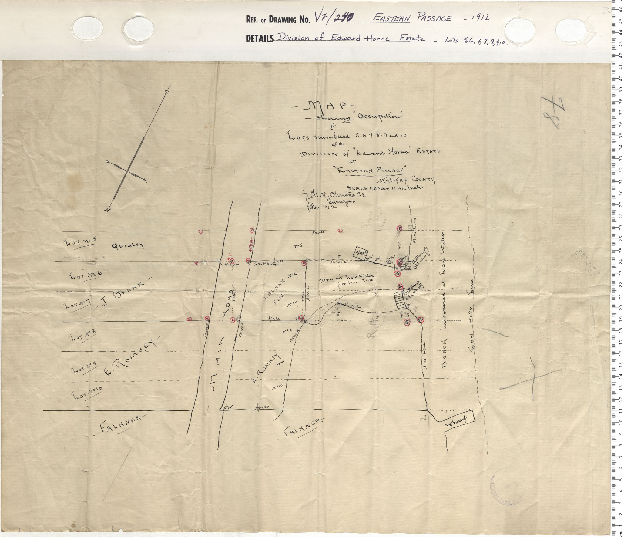
Division of Edward Horn Estates- Lots 5, 6, 7, 8, 9, & 10
Date: 1912
Reference: Nova Scotia Archives Map Collection: V7 240 Eastern Passage, Nova Scotia
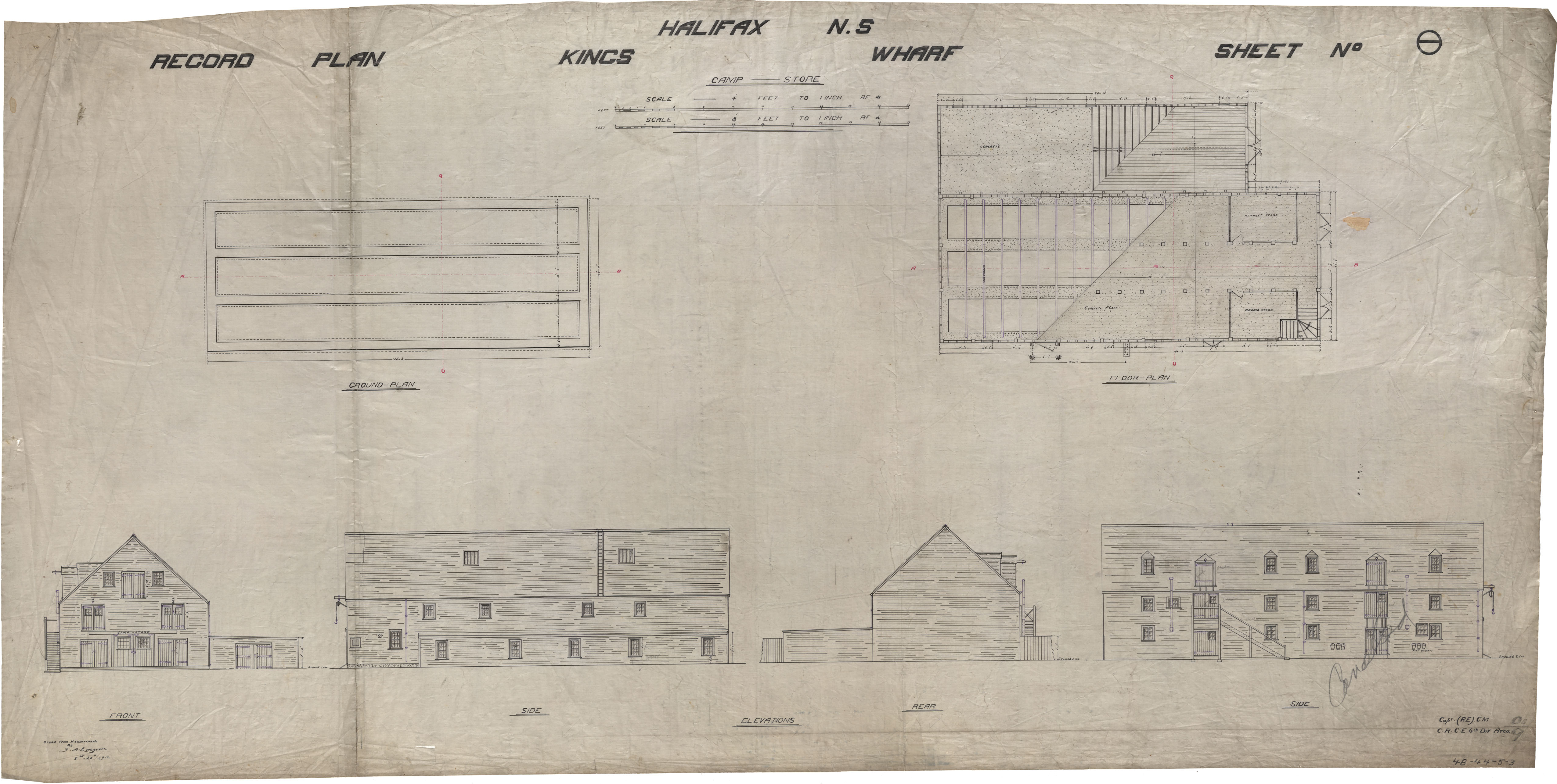
Kings Wharf
Date: 1912
Reference: Nova Scotia Archives Royal Engineers Maps and Plans 48 - 44 - 5 - 3
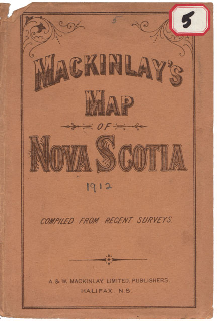
MacKinlay's Map of the Province of Nova Scotia, includes P.E.I.
Date: 1912
Reference: Nova Scotia Archives Map Collection: F/202 - 1912
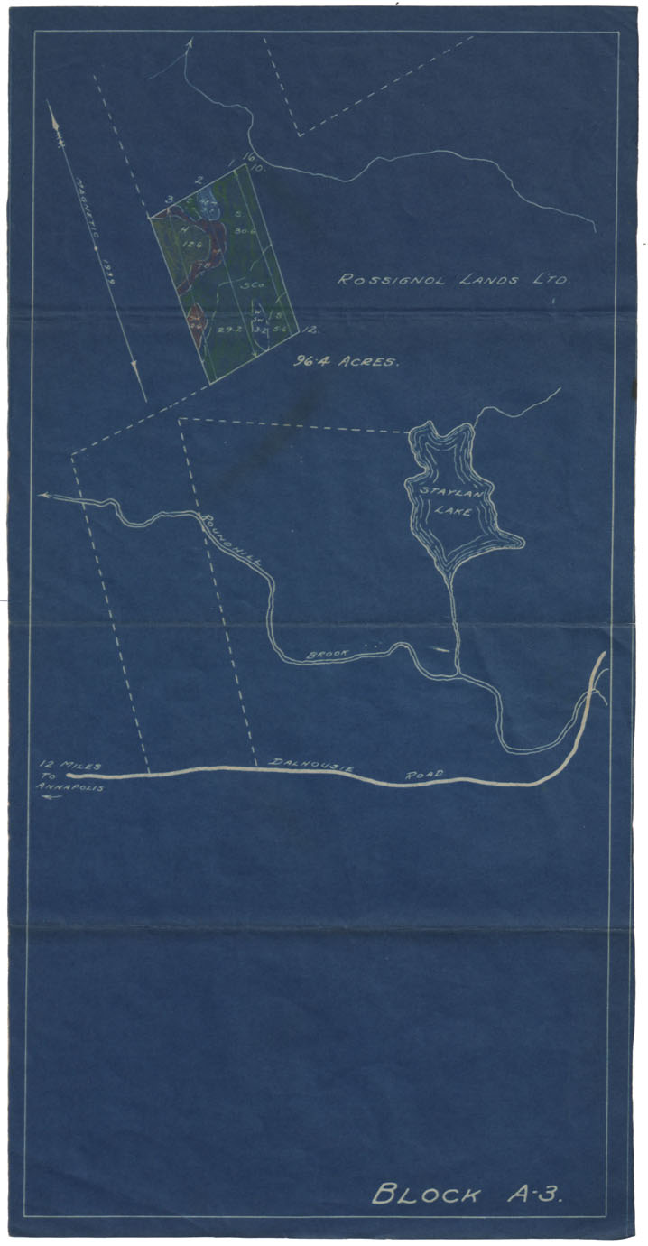
A.D.Mills Property Annapolis County 1912
Date: 29 November 1912
Reference: Nova Scotia Archives Map Collection: F/230 - 1912
Plan of Property of A.D.Mills & Son Annapolis Royal
Date: 29 November 1912
Reference: Nova Scotia Archives Map Collection: F/230 - 1912
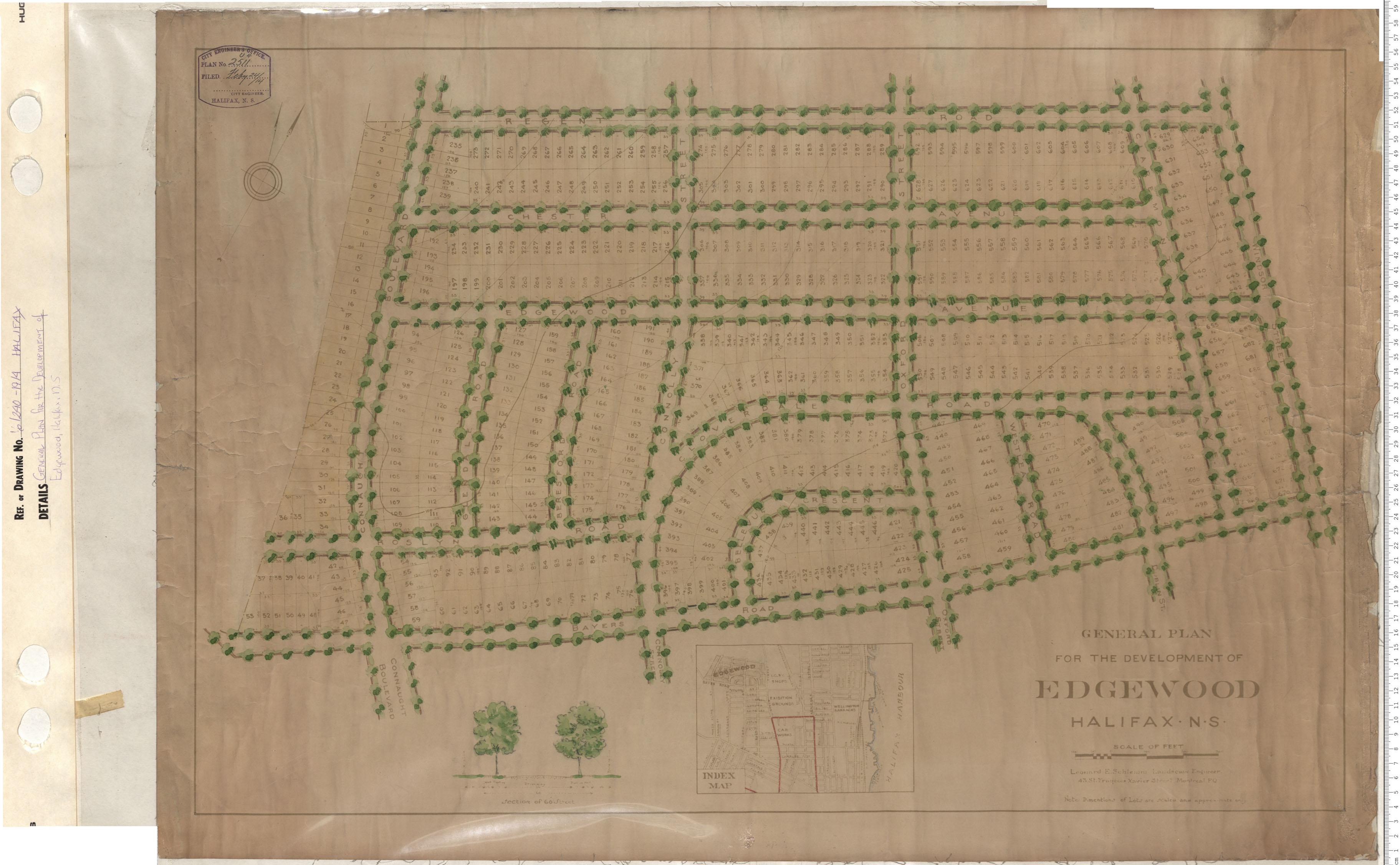
General Plan of Development of Edgewood
Date: 1913
Reference: Nova Scotia Archives Map Collection: V6 240 Halifax, Nova Scotia
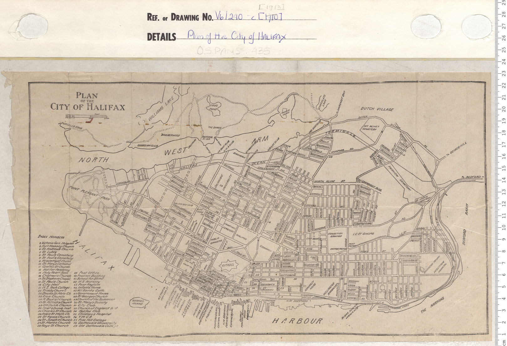
Plan of the City of Halifax
Date: 1913
Reference: Nova Scotia Archives Map Collection: V6 240 Halifax, Nova Scotia
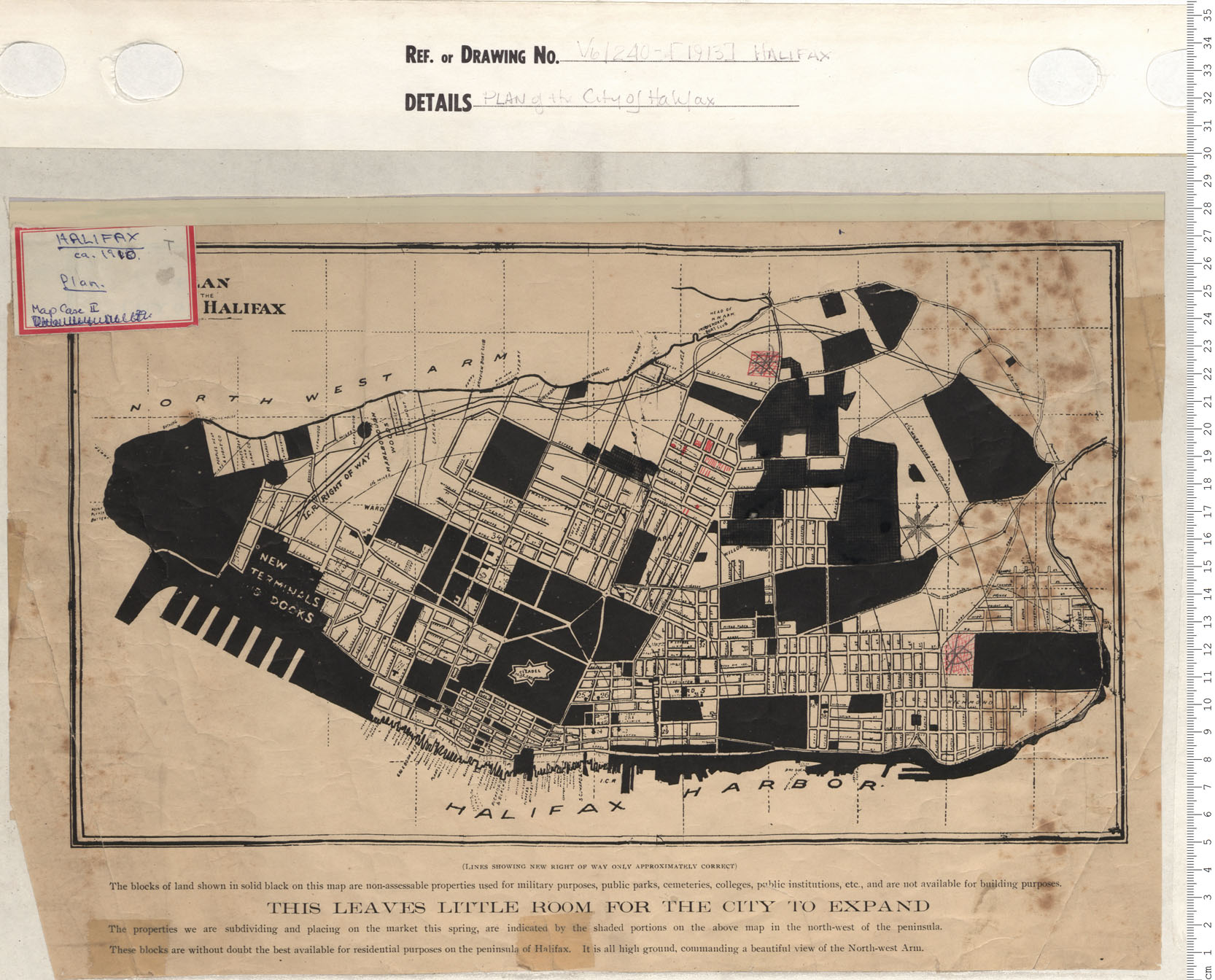
Plan of the City of Halifax
Date: 1913
Reference: Nova Scotia Archives Map Collection: V6 240 Halifax, Nova Scotia
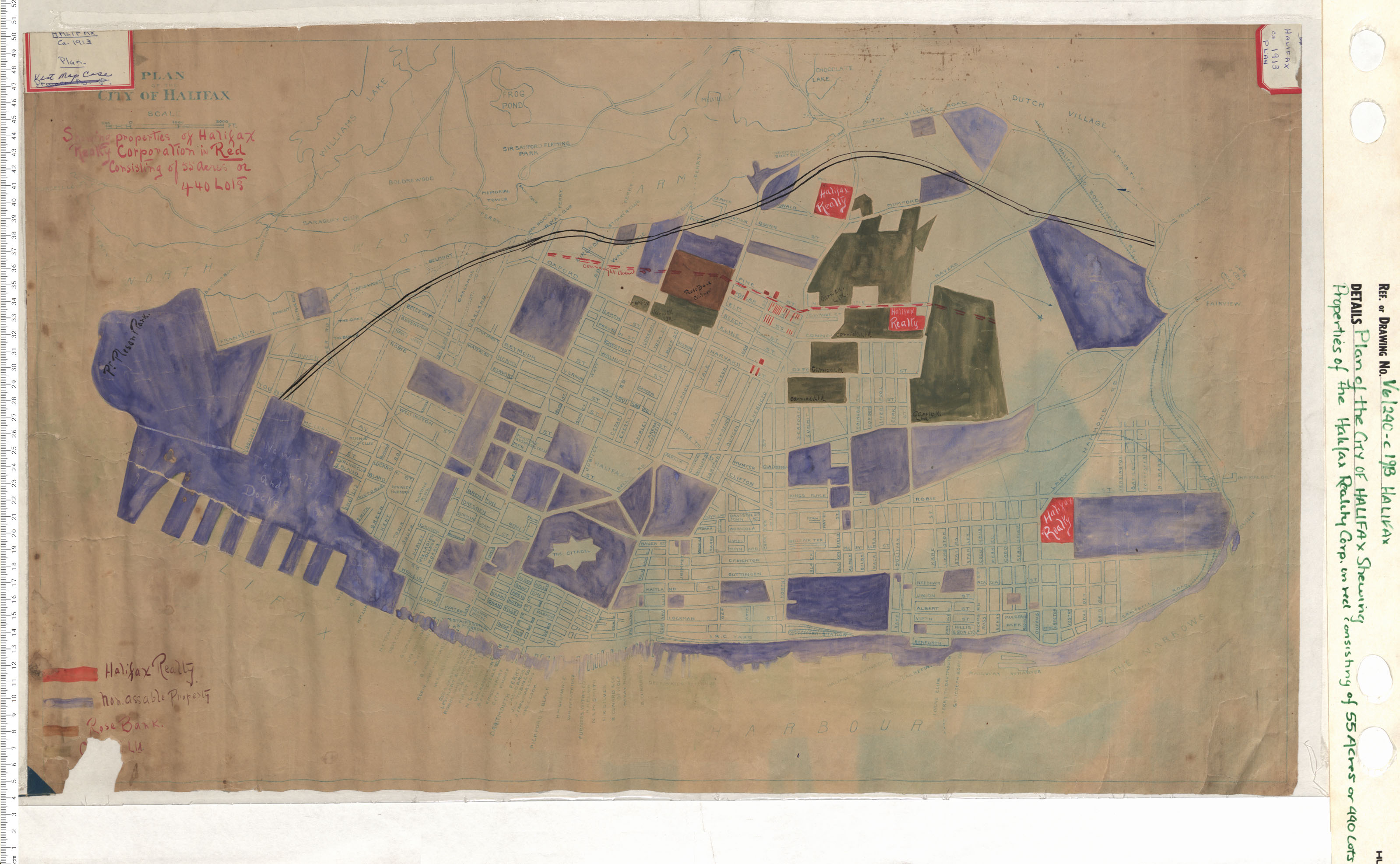
Plan of the City of Halifax Shewing Propery of Halifax Reality Corporation in Red Consisting of 55 achers or 440 lots
Date: 1913
Reference: Nova Scotia Archives Map Collection: V6 240 Halifax, Nova Scotia
