Nova Scotia Archives
Historical Maps of Nova Scotia
Results 31 to 45 of 827 from your search: 1900
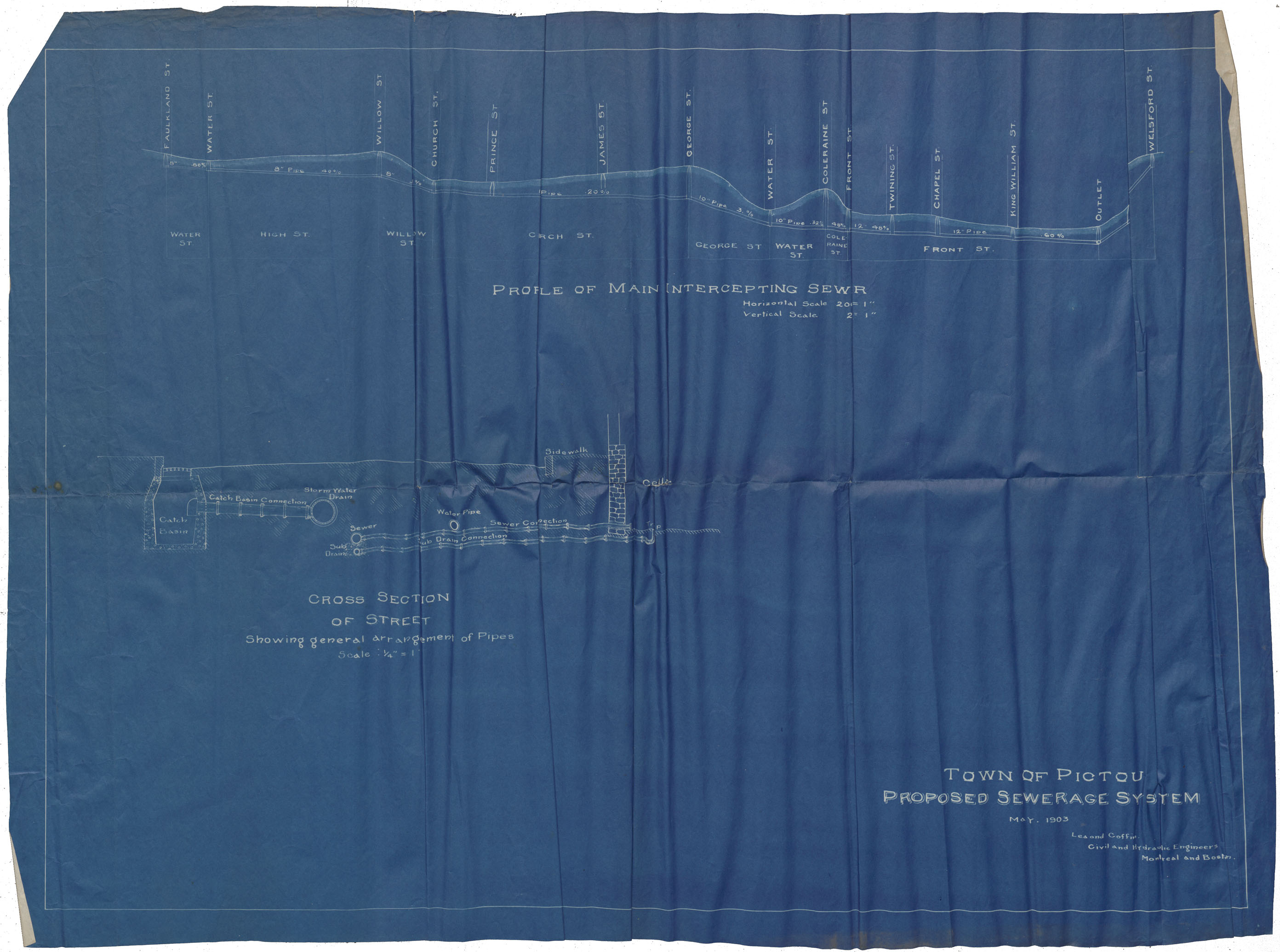
Town of Pictou Proposed Sewerage System
Date: May 1903
Reference: Nova Scotia Archives Map Collection: F/239 - 1903
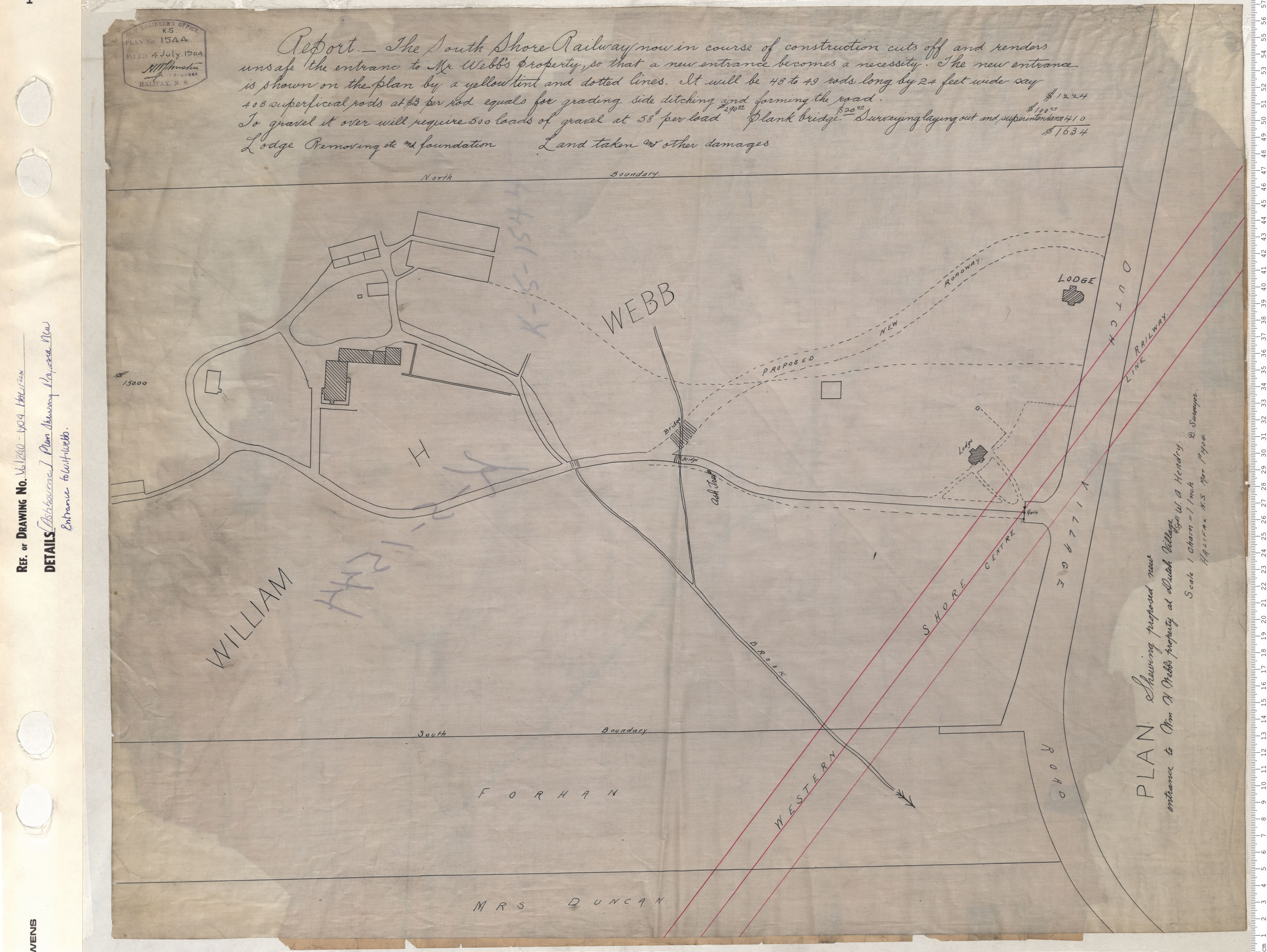
Plan of Showing proposed new entrance to Wm H Webb's property at Dutchvillage
Date: 1904
Reference: Nova Scotia Archives Map Collection: V6 240 Halifax, Nova Scotia
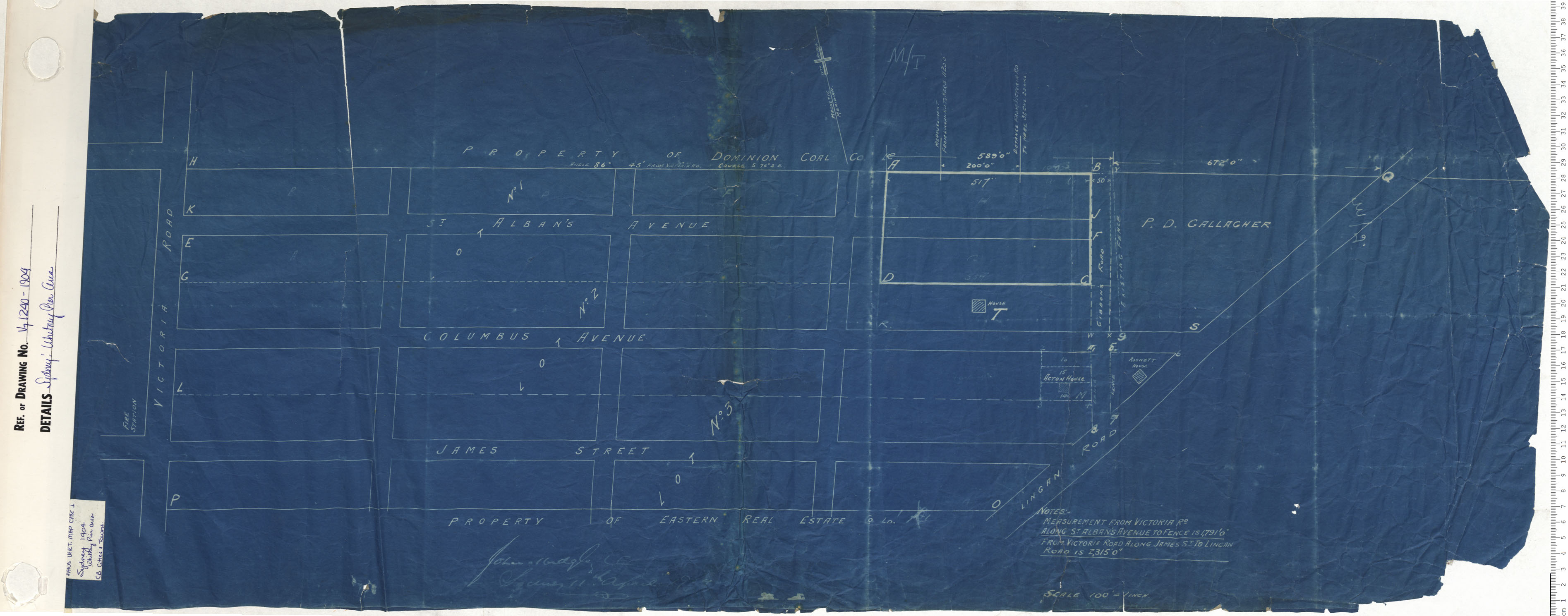
Whitney Pier Area
Date: 1904
Reference: Nova Scotia Archives Map Collection: V7 240 Sydney, Nova Scotia
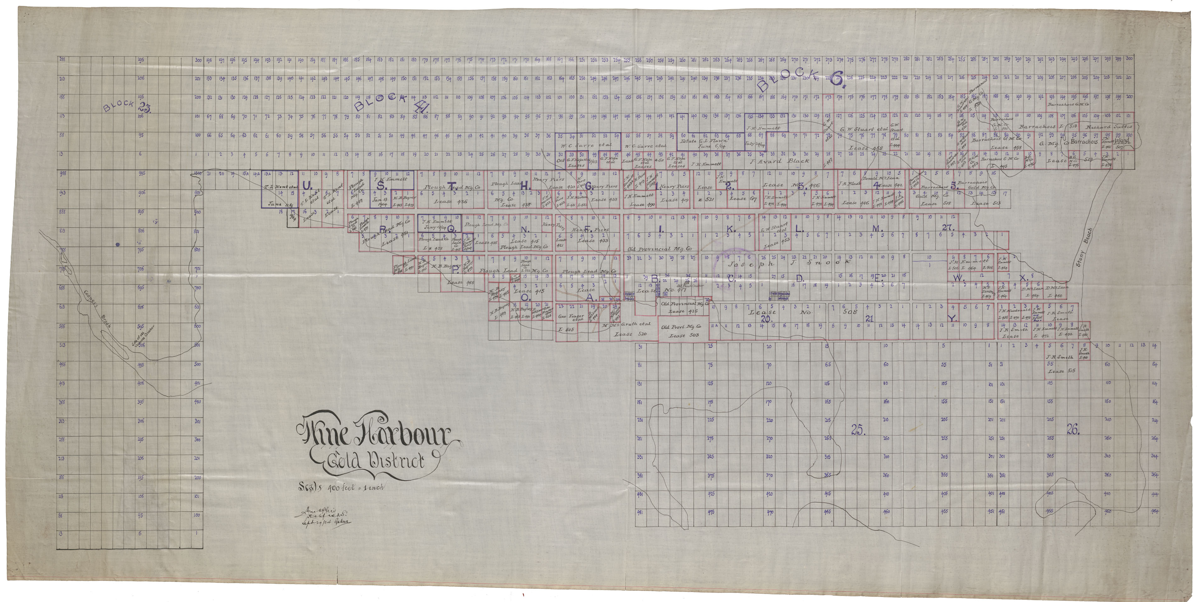
Wine Harbour Gold Districts
Date: 29 September 1904
Reference: Nova Scotia Archives Map Collection: F/239 - 1904
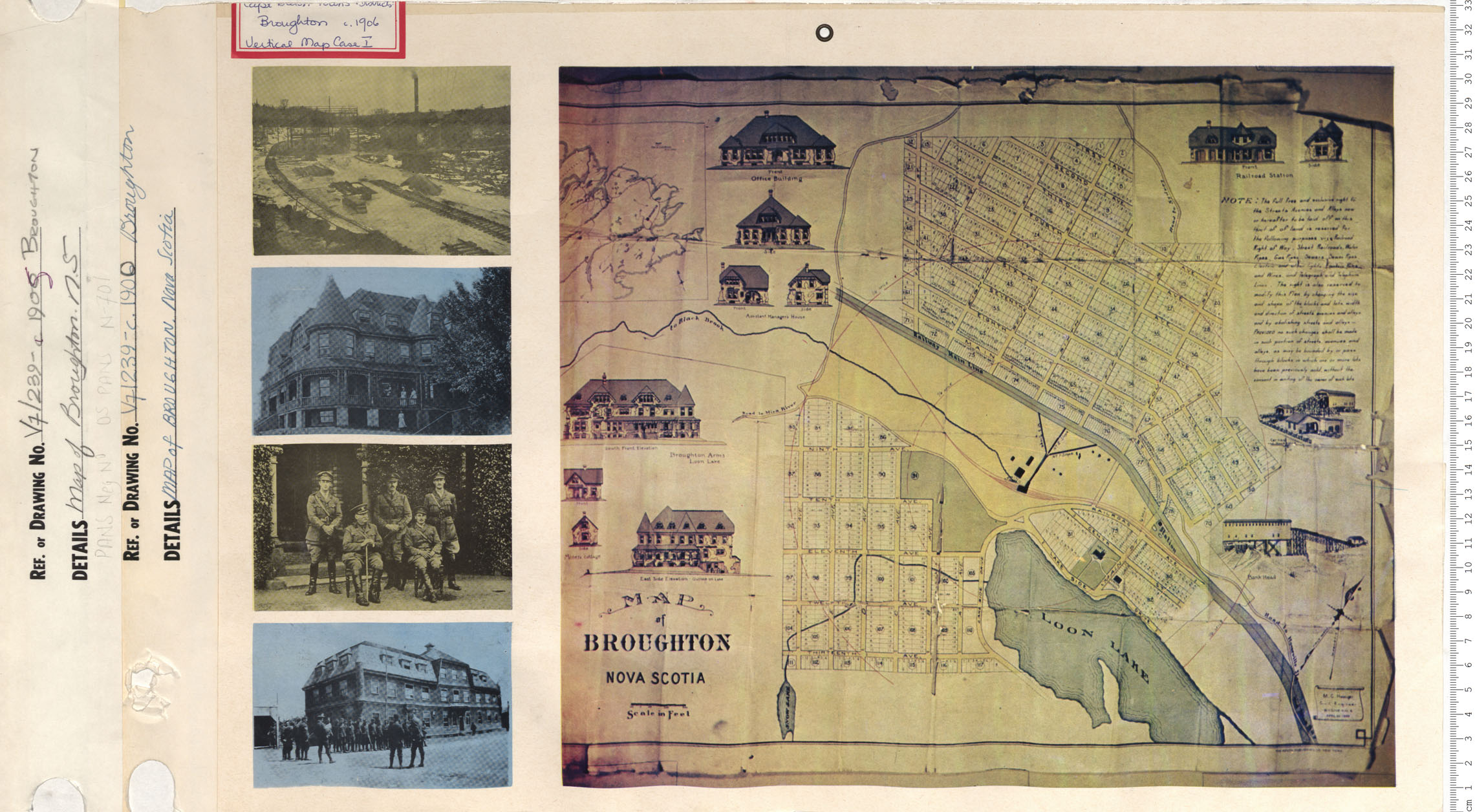
Map of Broughton
Date: 1905
Reference: Nova Scotia Archives Map Collection: V7 239 Broughton, Nova Scotia
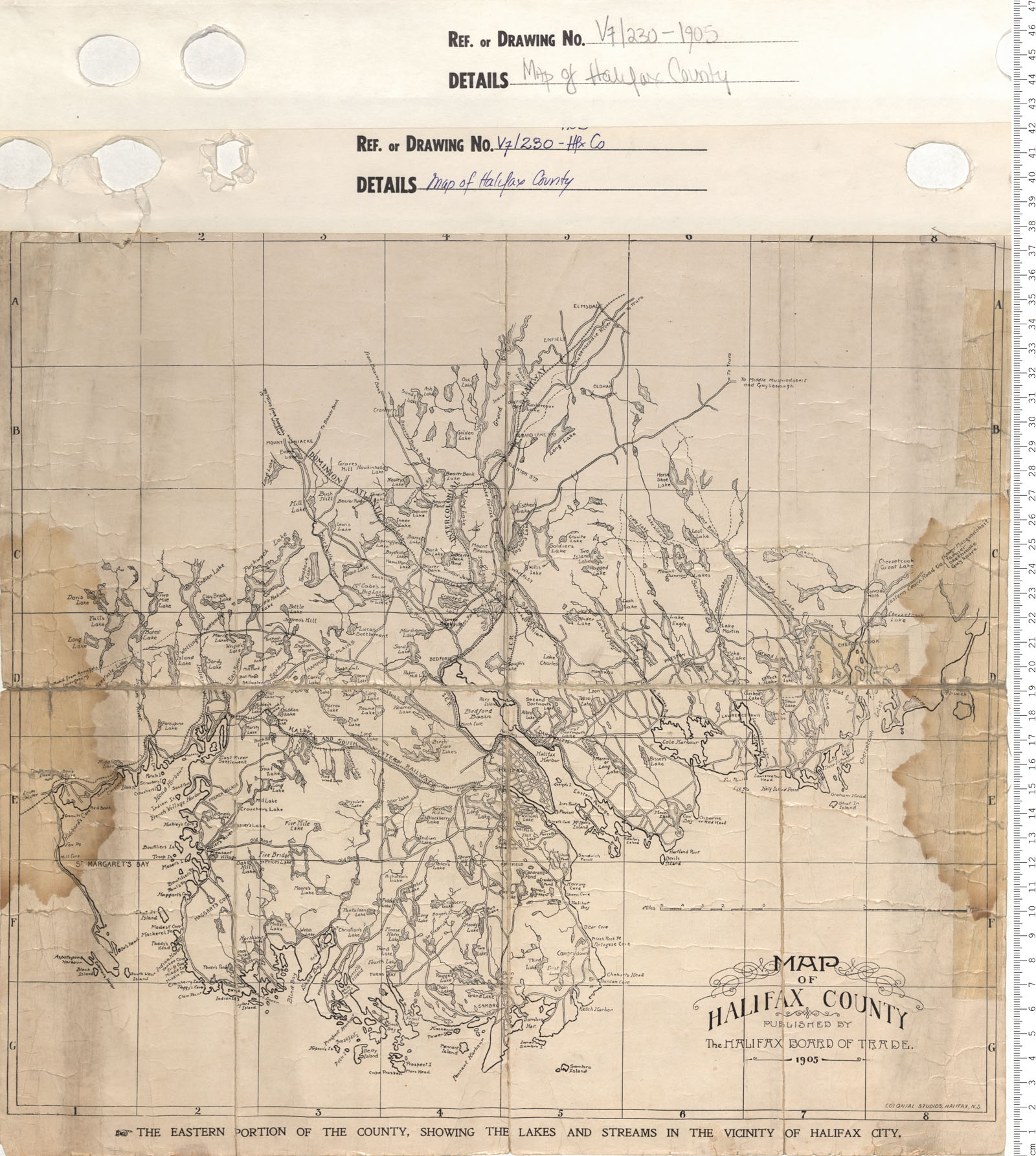
Map of Halifax County
Date: 1905
Reference: Nova Scotia Archives Map Collection: V7 230 Halifax County, Nova Scotia
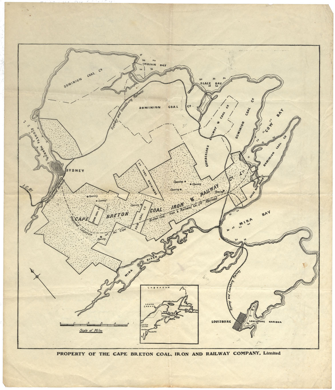
Property of the Cape Breton Coal, Iron and Railway Company Limited
Date: 1905
Reference: Nova Scotia Archives Map Collection: F/220 - 1905
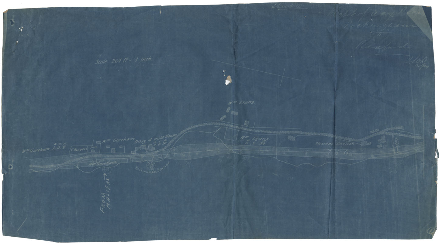
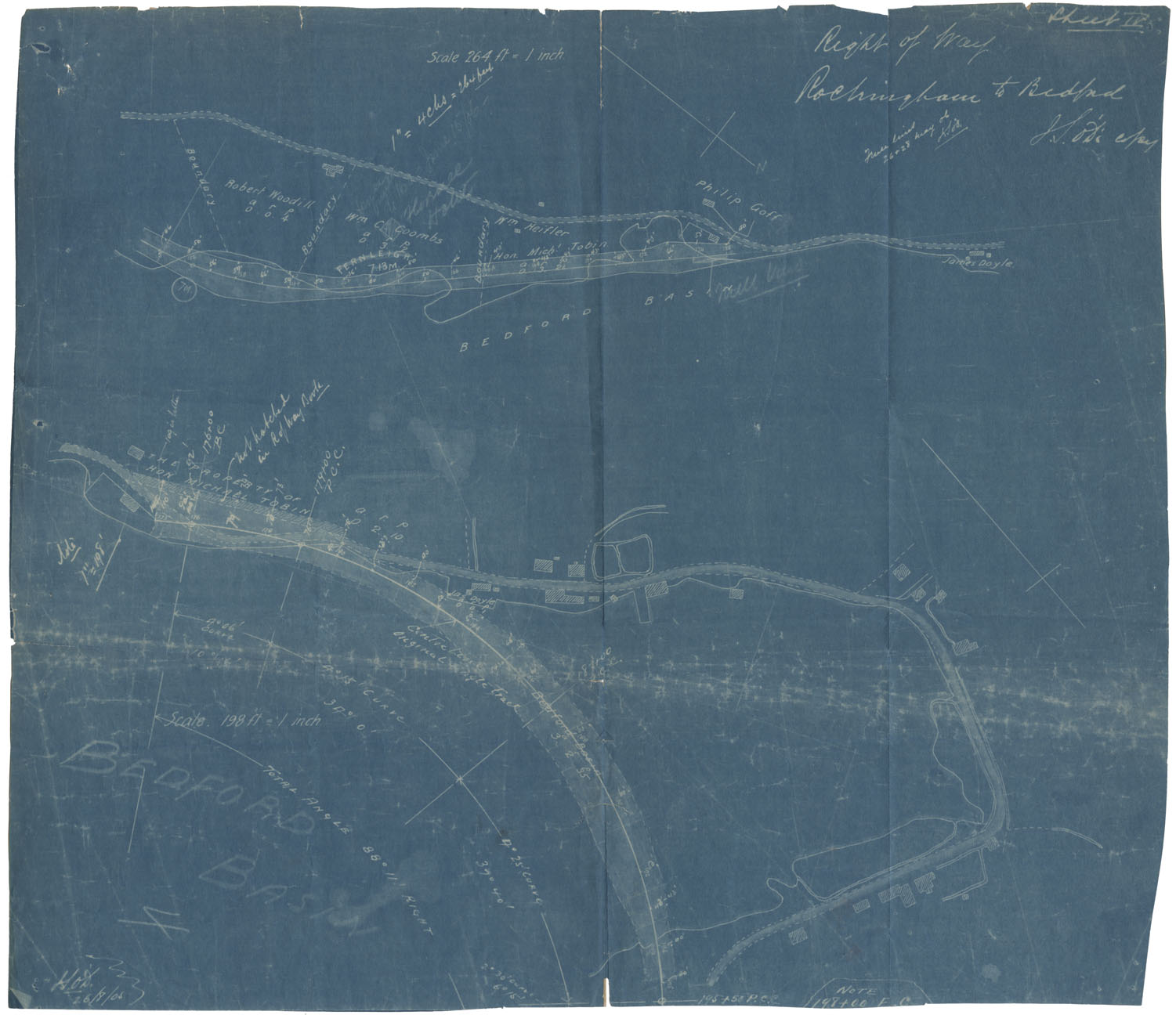
Right of Way Rockingham to Bedford
Date: 1905
Reference: Nova Scotia Archives Map Collection: F/239 - 1905
Right of Way Rockingham to Bedford
Date: 1905
Reference: Nova Scotia Archives Map Collection: F/239 - 1905
Right of Way Rockingham to Bedford
Date: 1905
Reference: Nova Scotia Archives Map Collection: F/239 - 1905
Right of Way Rockingham to Bedford
Date: 1905
Reference: Nova Scotia Archives Map Collection: F/239 - 1905
Right of Way Rockingham to Bedford
Date: 1905
Reference: Nova Scotia Archives Map Collection: F/239 - 1905
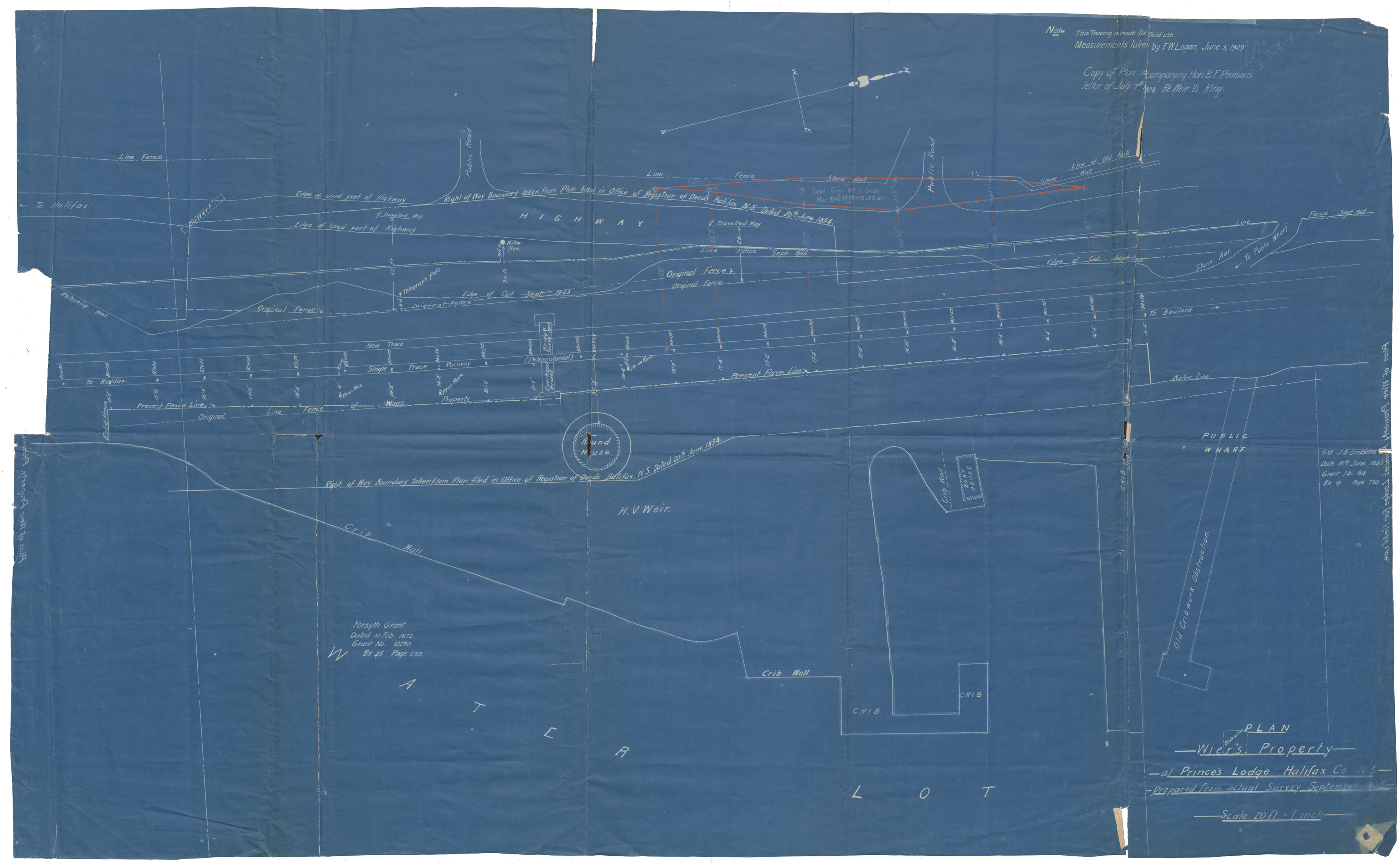
Plan of Wier's Property at Prince's Lodge, halifax County
Date: September 1905
Reference: Nova Scotia Archives Map Collection: F/239 - 1905
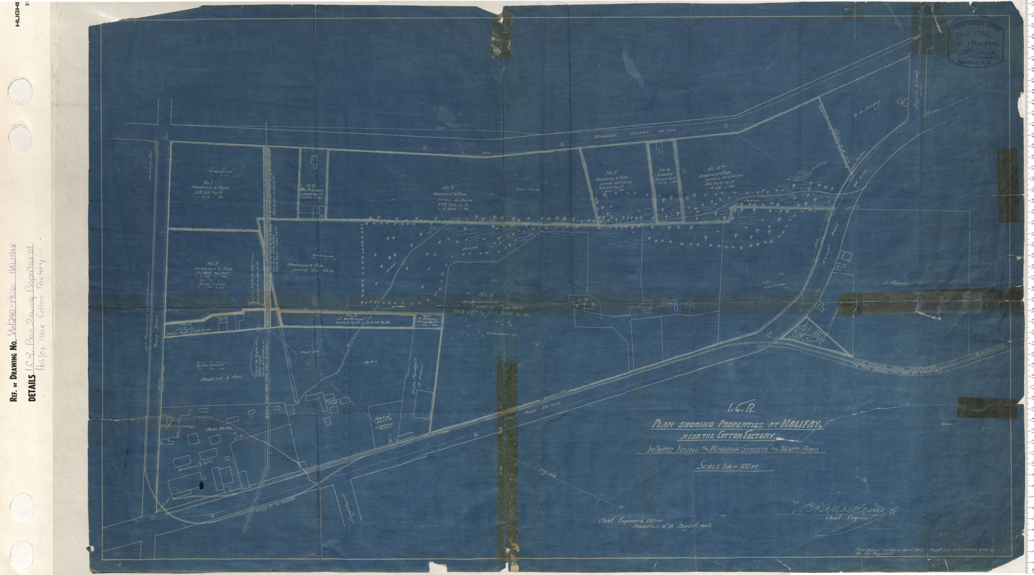
ICR Plan Showing the Properties at Halifax Near the Cotton factory Between Young and Windsor Streets and Kempt Road
Date: 1906
Reference: Nova Scotia Archives Map Collection: V6 240 Halifax, Nova Scotia
