Nova Scotia Archives

Historical Maps of Nova Scotia

Results 1171 to 1185 of 2073 from your search:

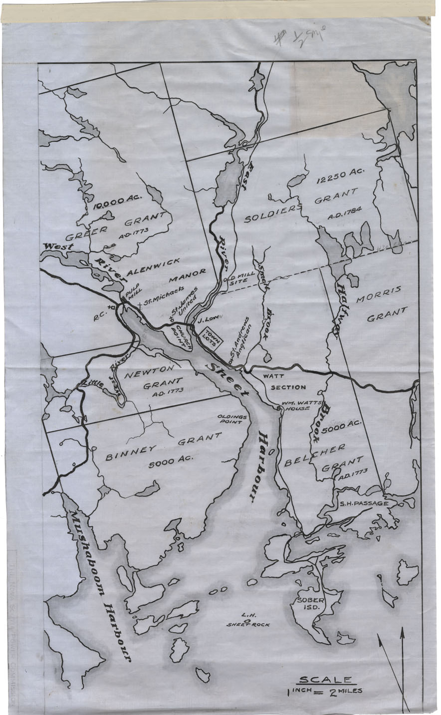
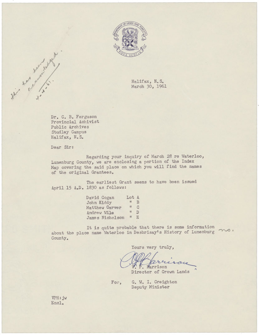
Smithfield Map of the Smithfield Silver and Read Property

Date:

Reference: Nova Scotia Archives Map Collection: F/239


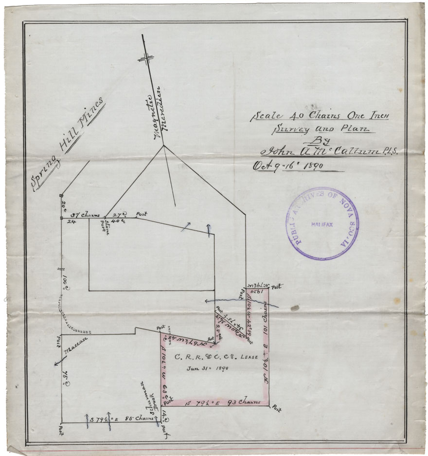
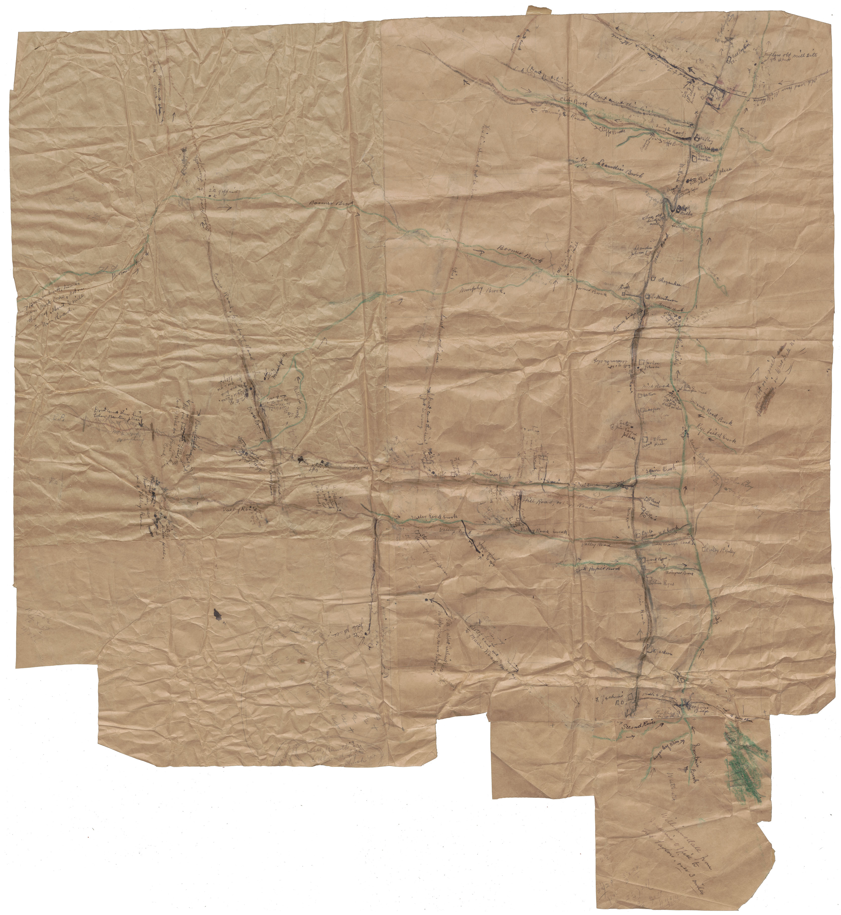
C.R.R.&C.Co., Spring Hill Mines

Date: 9-16 October 1890

Reference: Nova Scotia Archives Map Collection: F/239 - 1890


Sydney, Indian point

Date:

Reference: Nova Scotia Archives Map Collection: F/239


Sydney, Indian Point

Date:

Reference: Nova Scotia Archives Map Collection: F/239


Map of Leitches Creek Division

Date:

Reference: Nova Scotia Archives Map Collection: F/239


Fault Sydney Mines

Date:

Reference: Nova Scotia Archives Map Collection: F/239


Tangier Gold District

Date:

Reference: Nova Scotia Archives Map Collection: F/239


Waterloo, Lunenburg County

Date:

Reference: Nova Scotia Archives Map Collection: F/239


Map of Williamsdale

Date:

Reference: Nova Scotia Archives Map Collection: F/239


Cape Breton Aspy bay undated

Date:

Reference: Nova Scotia Archives Map Collection: F/240


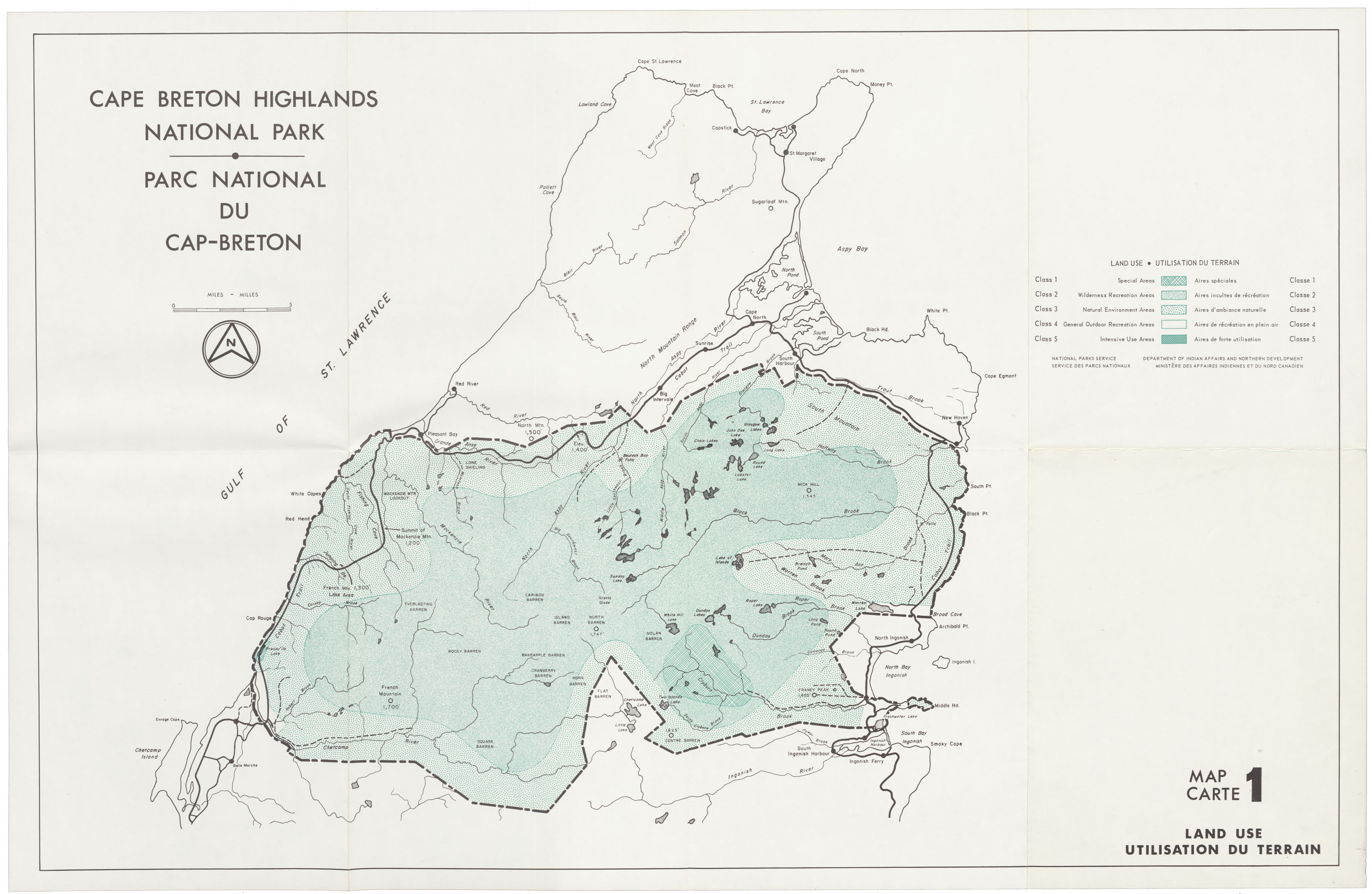
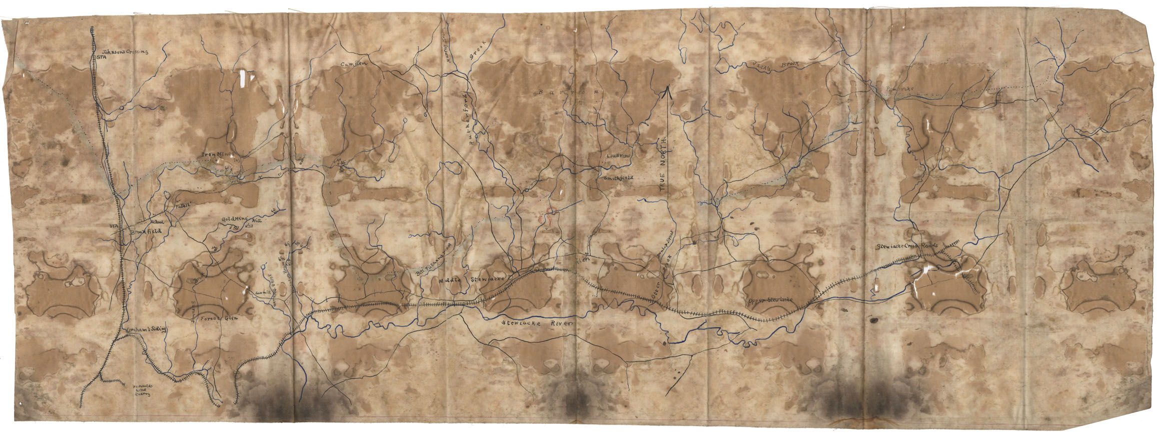
Cape Breton Highs Lands National Park Map 1, 2, 3

Date:

Reference: Nova Scotia Archives Map Collection: F/240


Baptist Church Sketching North End

Date:

Reference: Nova Scotia Archives Map Collection: F/240


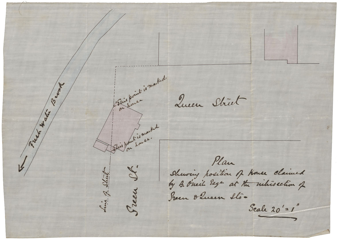
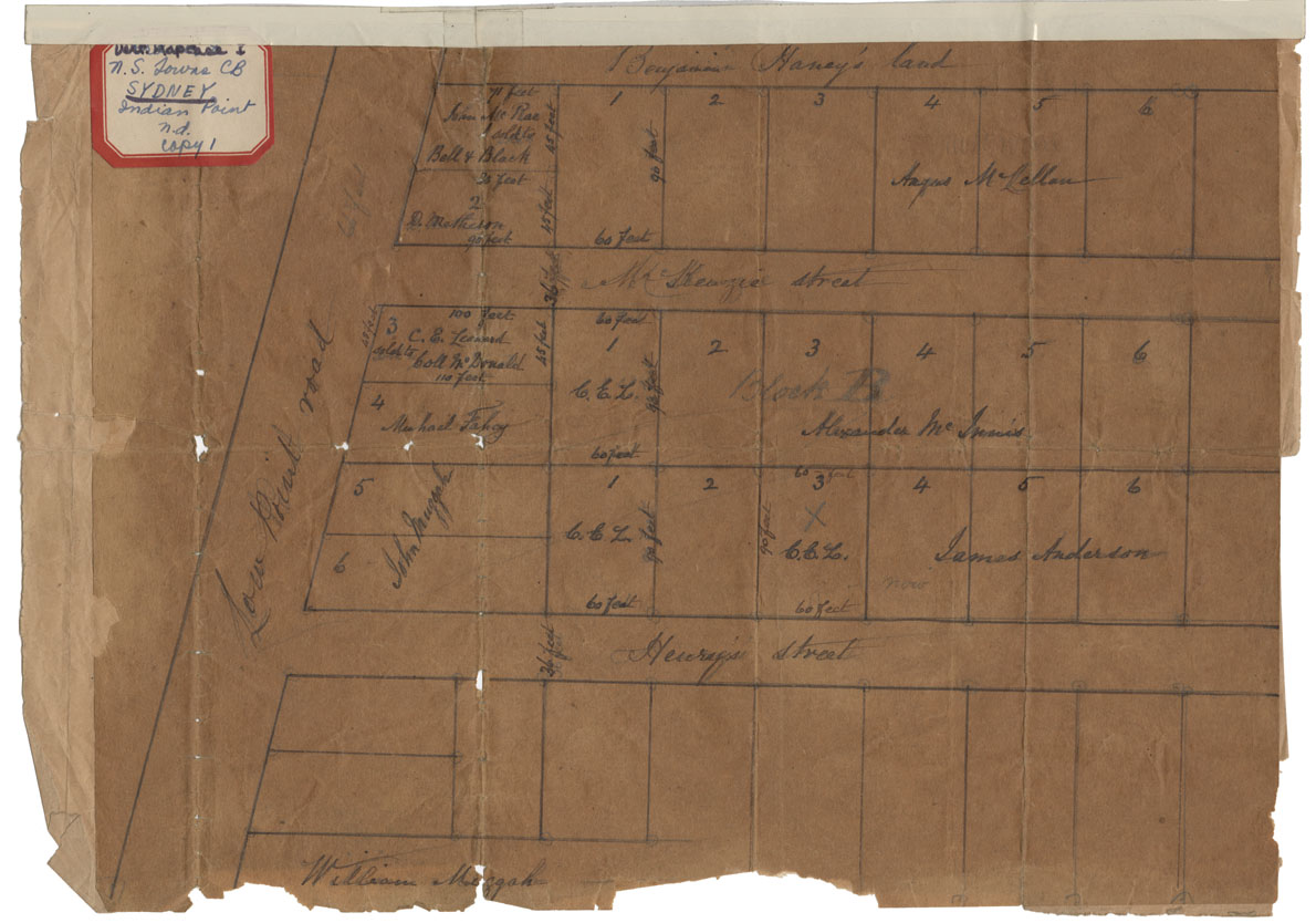
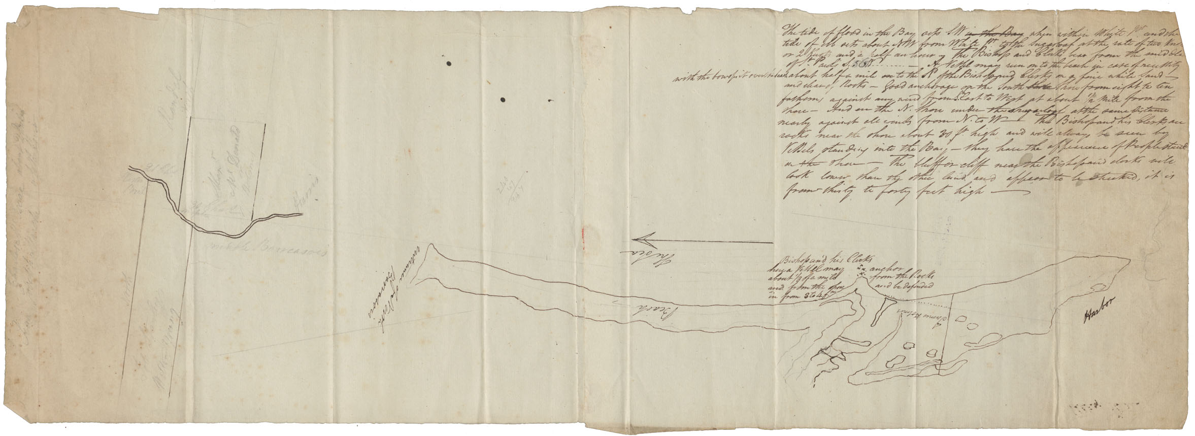
Plan of a House at Intersection of Green and Queen

Date:

Reference: Nova Scotia Archives Map Collection: F/240


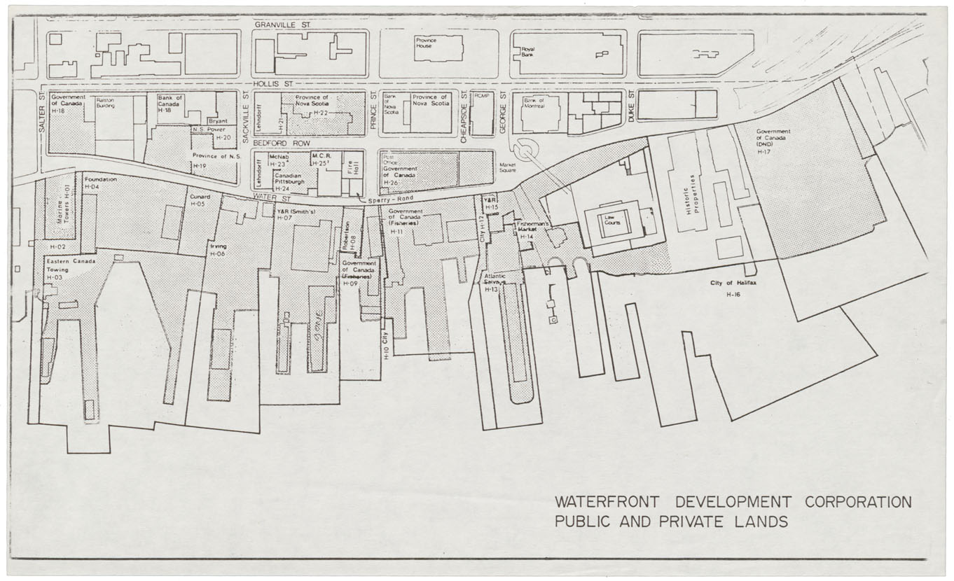
City of Halifax Public & Private Lands Waterfront Development Corporation

Date:

Reference: Nova Scotia Archives Map Collection: F/240


Sketch showing Intersection of Barrington and Morris Streets

Date:

Reference: Nova Scotia Archives Map Collection: F/240


Nova Scotia Archives — https://archives.novascotia.ca/maps/results/

Crown copyright © 2024, Province of Nova Scotia.