Nova Scotia Archives
Historical Maps of Nova Scotia
Results 1096 to 1110 of 2074 from your search:
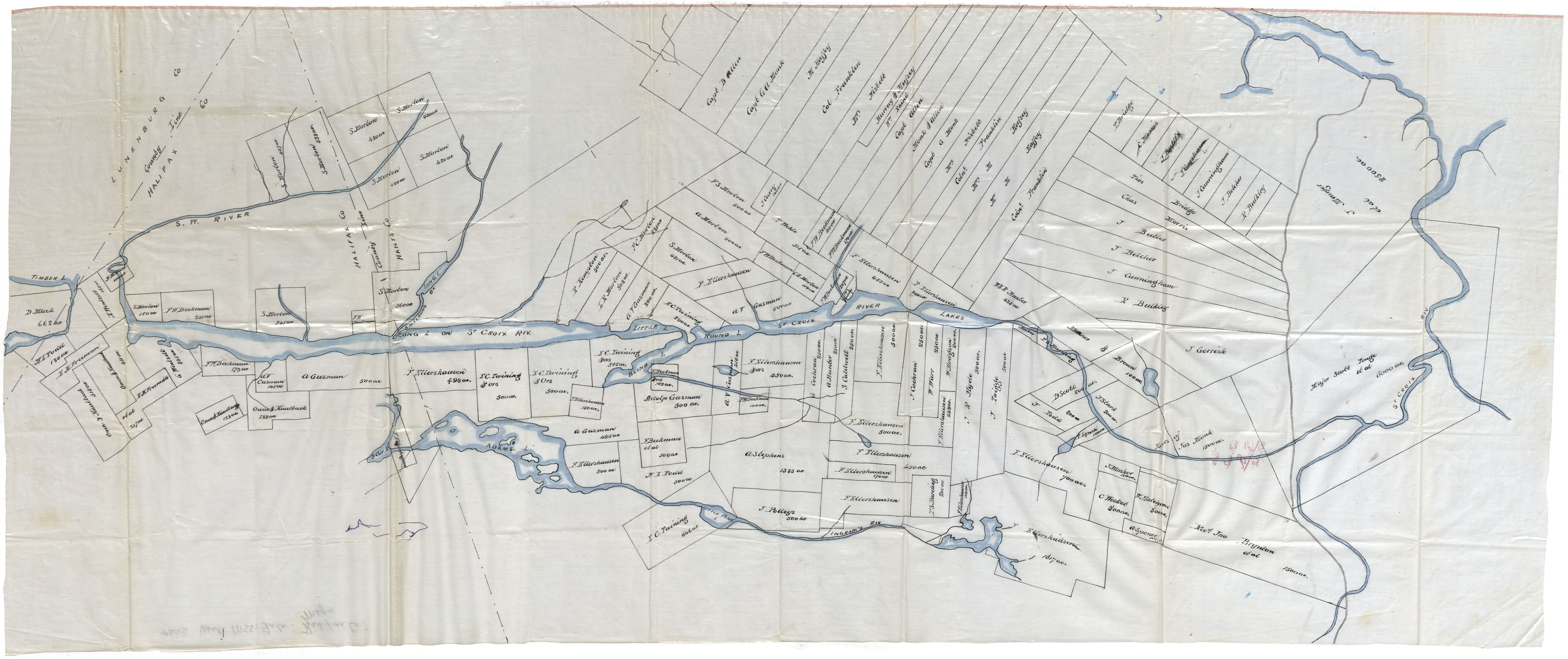
Land Grants in Halifax County along the St. Croix River, bordering Lunenburg County
Date:
Reference: Nova Scotia Archives Map Collection: F/220
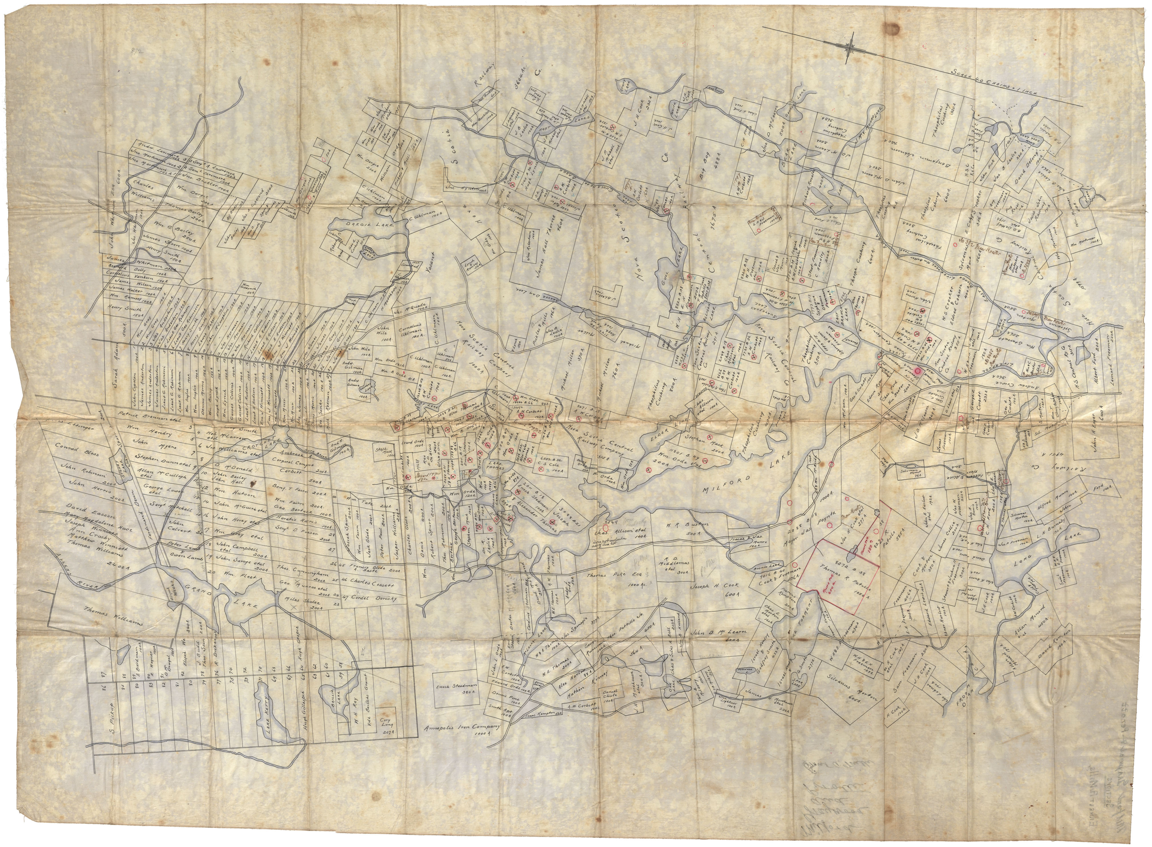
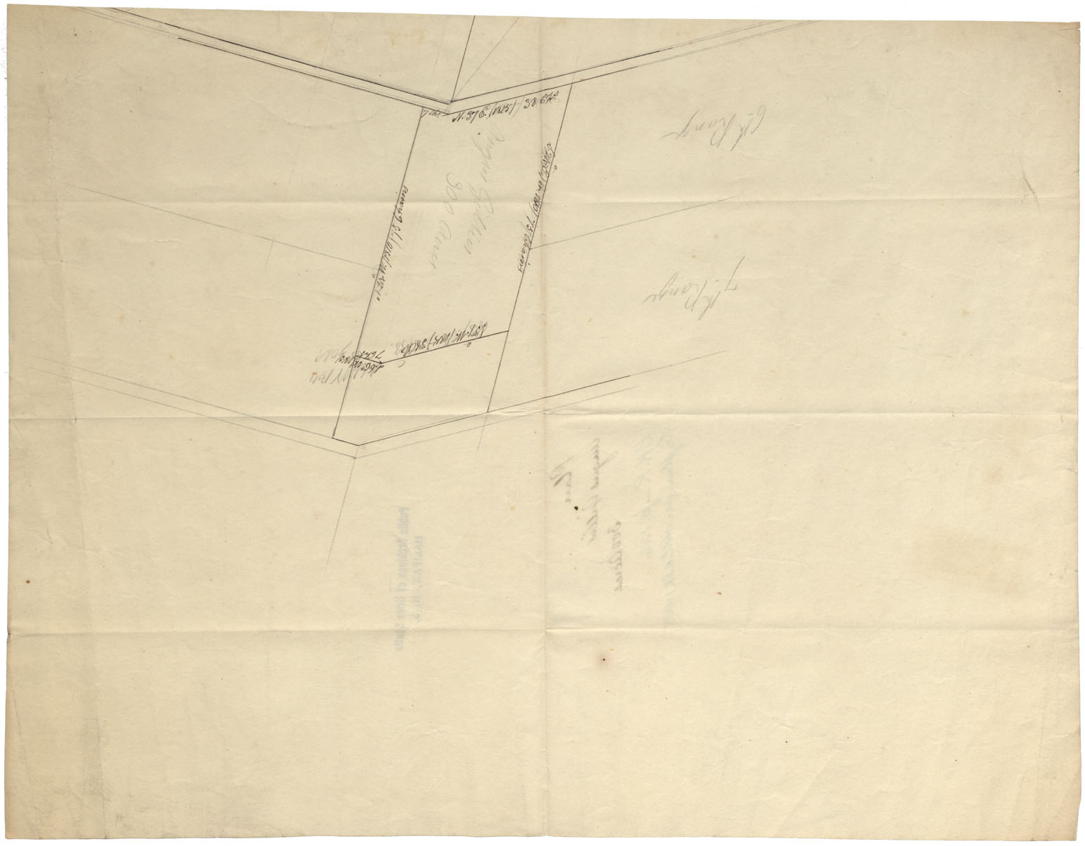
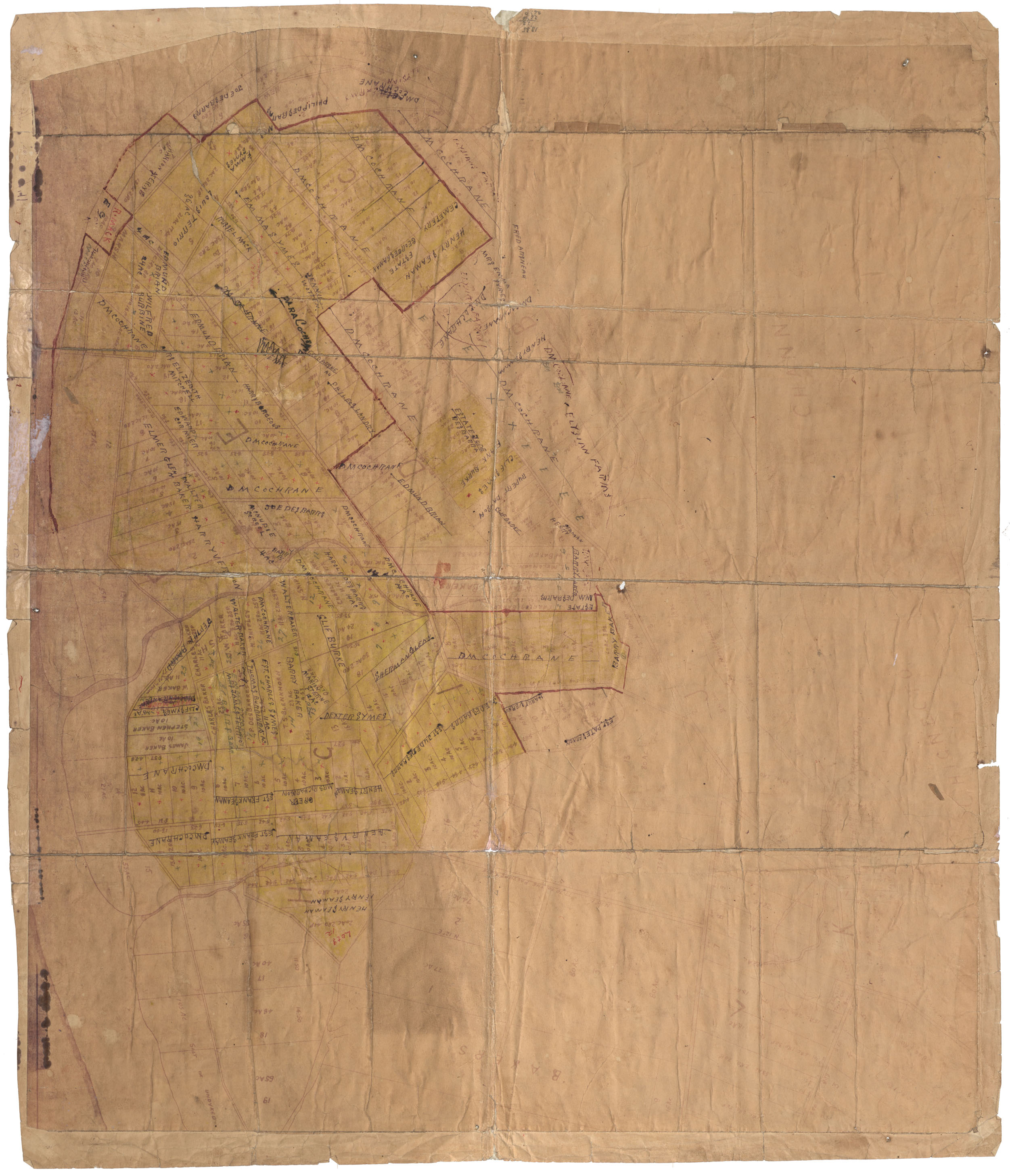
Milford, Graywood, Perotte, Land Grants and Granties
Date:
Reference: Nova Scotia Archives Map Collection: F/230
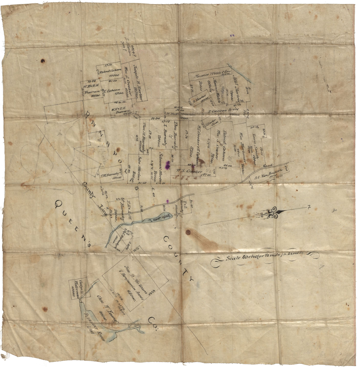
Annapolis County Corner of Annapolis & Queens County vicinity of Smith Camp Lake and Pleasant River Lake undated
Date:
Reference: Nova Scotia Archives Map Collection: F/230
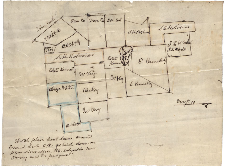
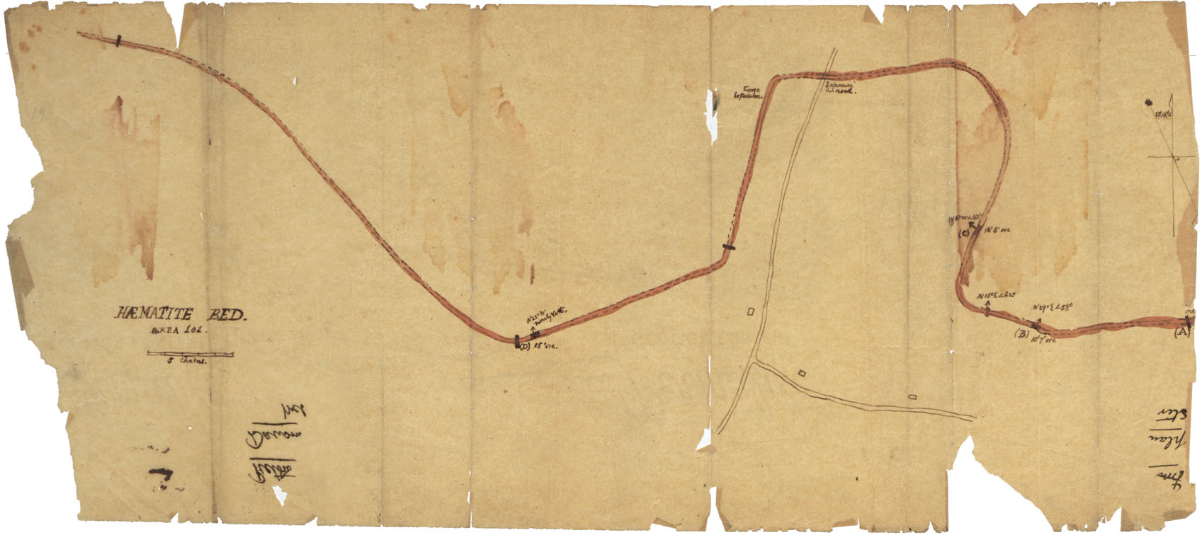
Sketch plan Coal Leases Grand Lake, Cape Breton Co
Date:
Reference: Nova Scotia Archives Map Collection: F/230
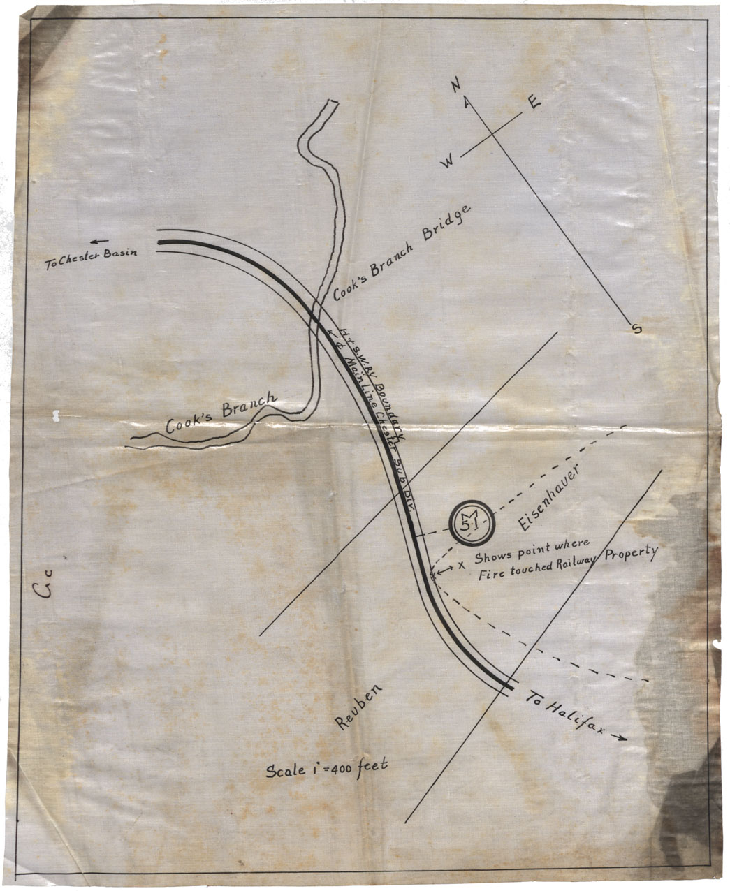
Chester Area (shows poit where fire touched railway property)
Date:
Reference: Nova Scotia Archives Map Collection: F/230
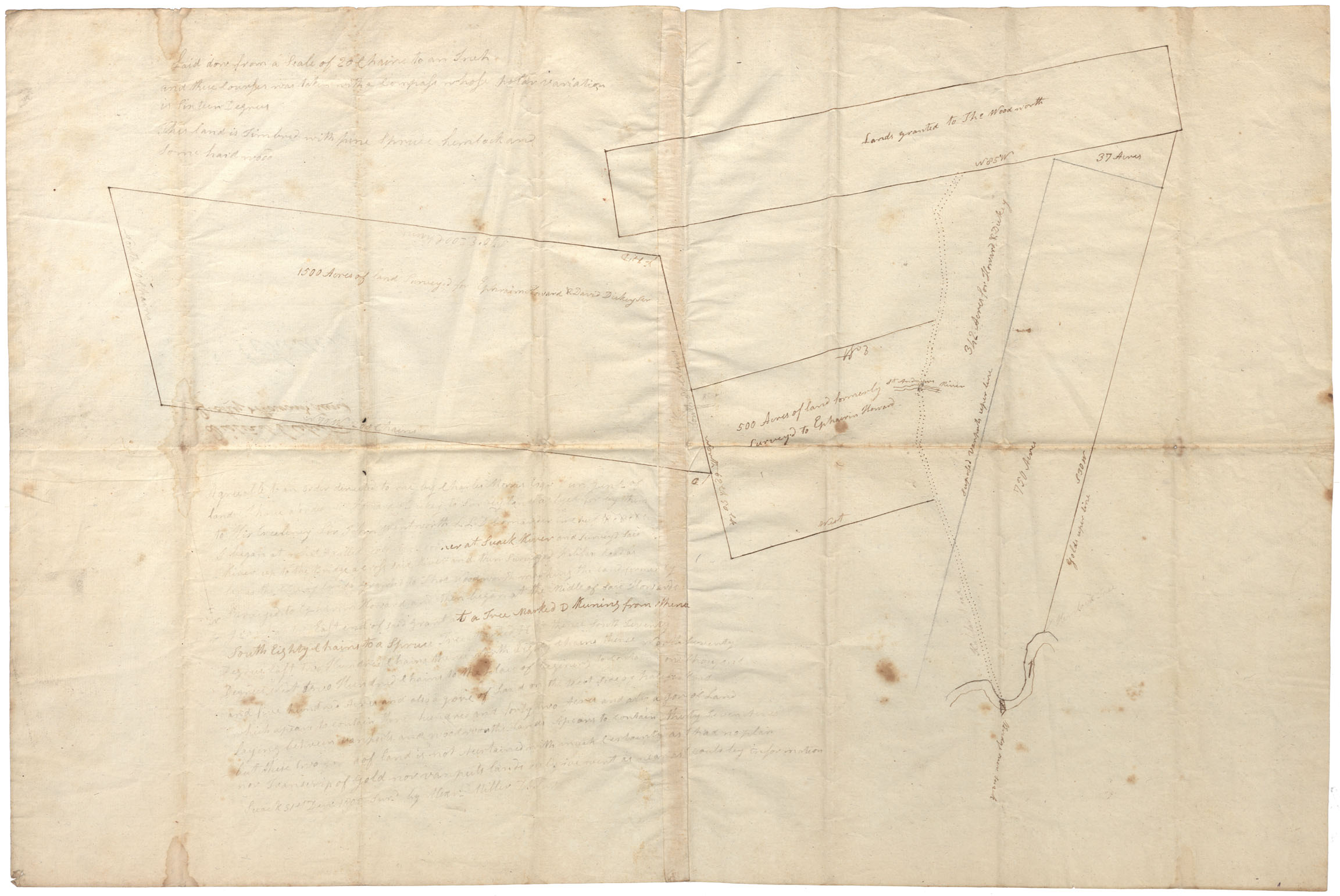
District of Colchester, vicinity of St.Andrew's River and "Bridge over Suack" and Halifax Road
Date:
Reference: Nova Scotia Archives Map Collection: F/230
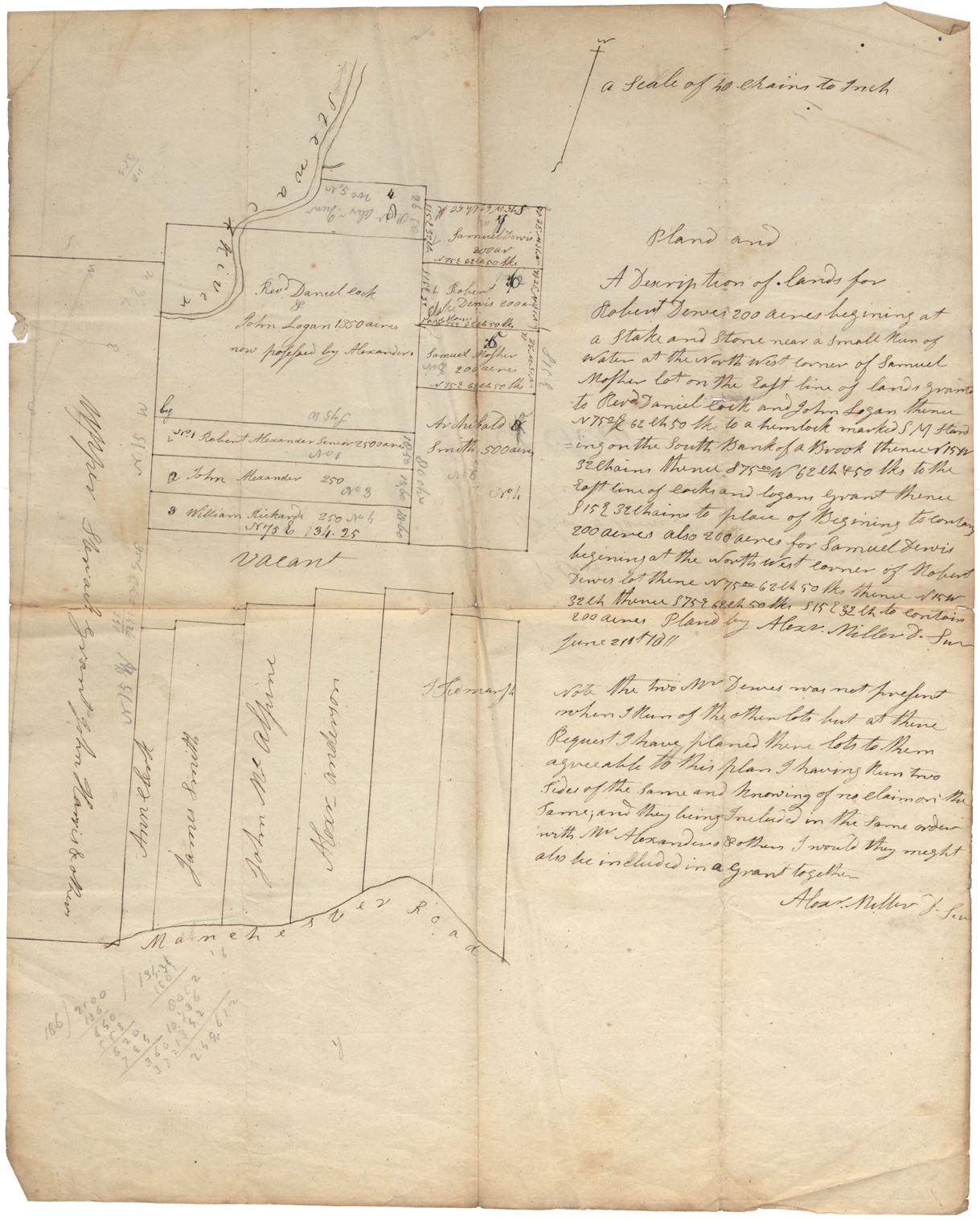
Lots bounded by Stewiacke River, Upper Stewiacke Grant & Manchester Road
Date:
Reference: Nova Scotia Archives Map Collection: F/230
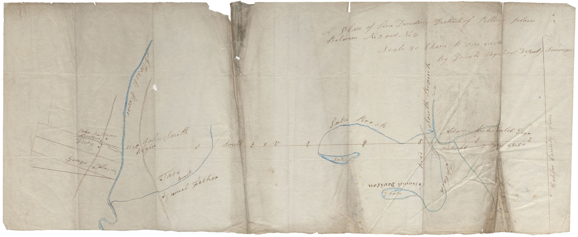
Between Stewiacke River and Halifax county Line
Date:
Reference: Nova Scotia Archives Map Collection: F/230
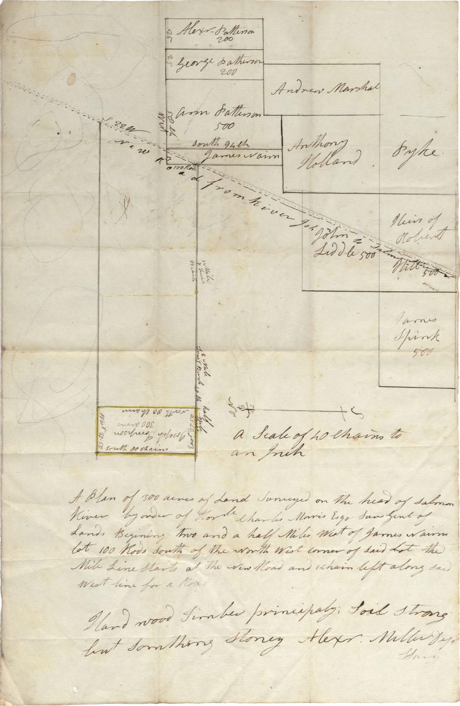
Onslow-head of Salmon River near "New Road from River John to Salmon River"
Date:
Reference: Nova Scotia Archives Map Collection: F/230
Colchester County "Plan of line from Littel Dyke lands north to County line" district of Great Villiage and Grant Villiage River
Date:
Reference: Nova Scotia Archives Map Collection: F/230