Nova Scotia Archives
Historical Maps of Nova Scotia
Results 1231 to 1245 of 2074 from your search:
Plan Property of Steven's Estate
Date: 1895
Reference: Nova Scotia Archives Map Collection: V6 240 Halifax, Nova Scotia
MacKinlay's Map of the Province of Nova Scotia & Cape Breton Island
Date: 1895
Reference: Nova Scotia Archives Map Collection: F/202 - [1895]
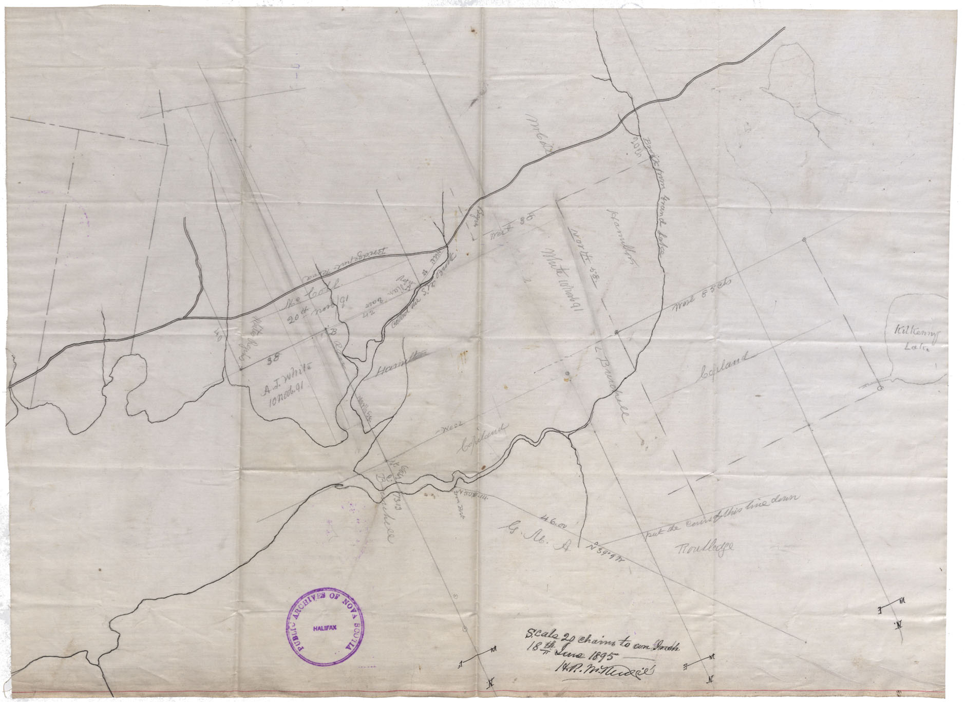
Leases: Cape Breton County
Date: 18 June 1895
Reference: Nova Scotia Archives Map Collection: F/220 - 1895
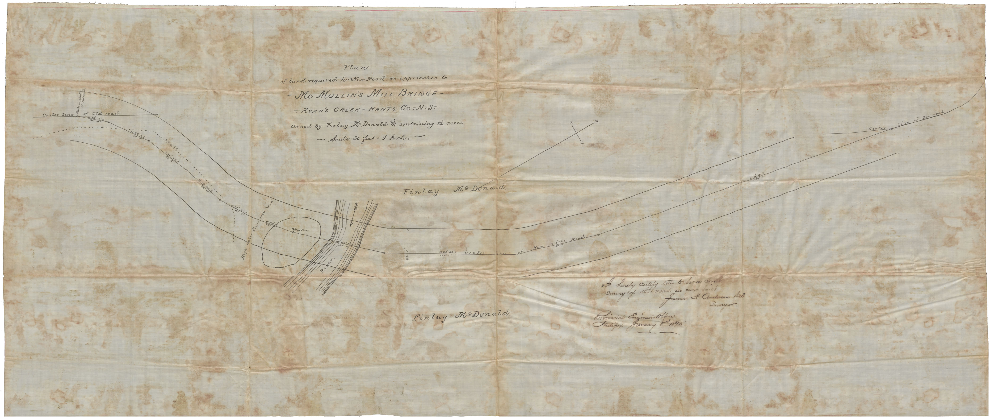
Plan for Land Required for New Road as approaches to McMullon's Mill Bridge, Ryan's Creek, Hants County NS owned by Finlay McDonald and containing 11/4 acres
Date: 8 January 1895
Reference: Nova Scotia Archives Map Collection: F/230 - 1895
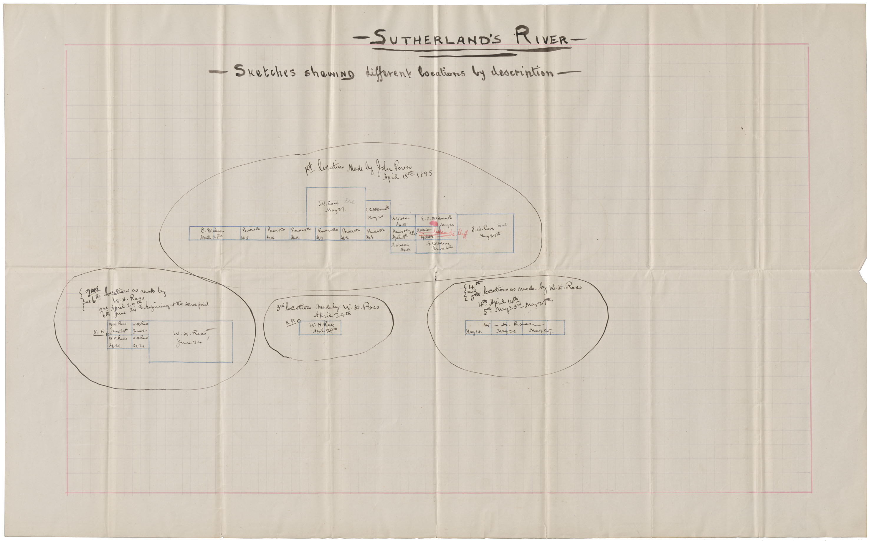
Sutherland's River Sketches showing different locations by description
Date: April-June 1895
Reference: Nova Scotia Archives Map Collection: F/239 - 1895
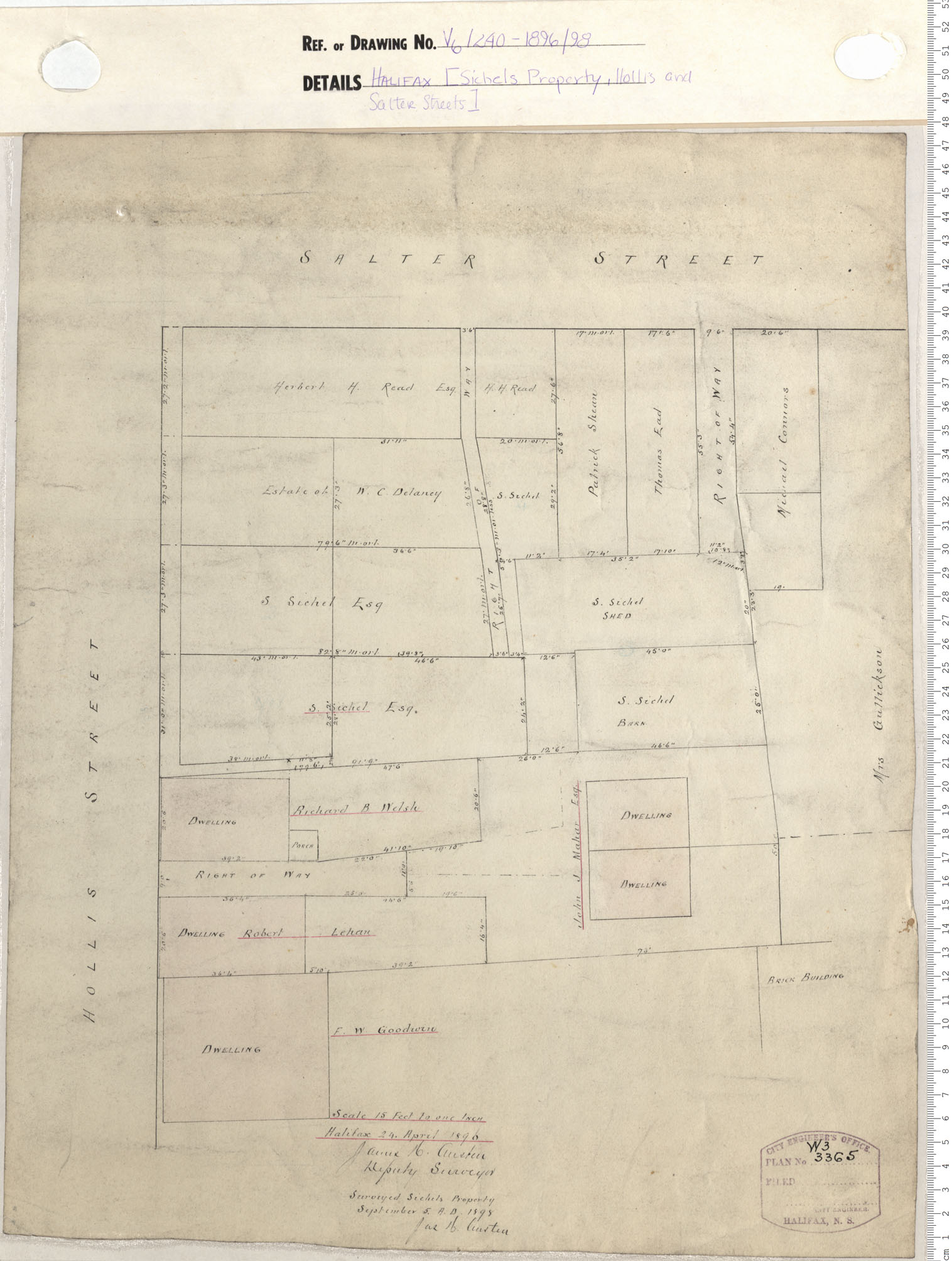
Sichel's Property, Hollis and Salter Streets
Date: 1896/1898
Reference: Nova Scotia Archives Map Collection: V6 240 Halifax, Nova Scotia
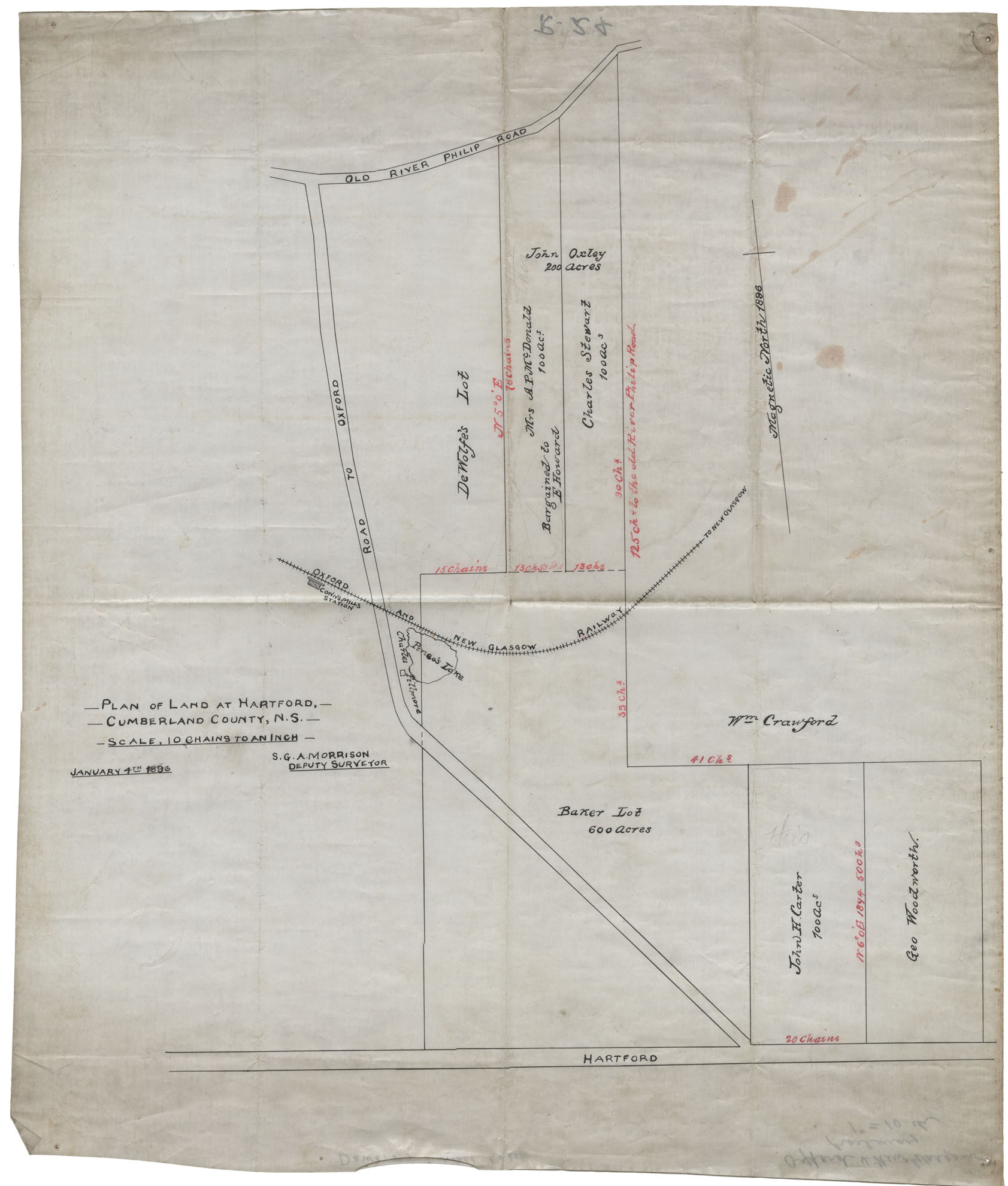
Plan of Land at Hartford Cumberland County
Date: 4 January 1896
Reference: Nova Scotia Archives Map Collection: F/239 - 1896
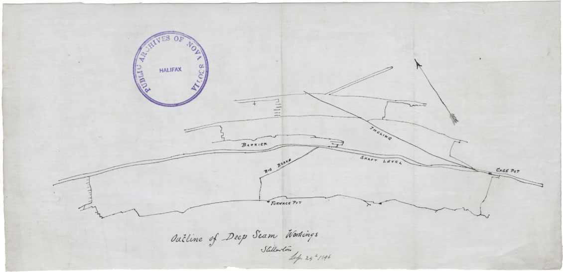
Outline of Deep Seam Workings, Stellarton
Date: 24 September 1896
Reference: Nova Scotia Archives Map Collection: F/239 - 1896
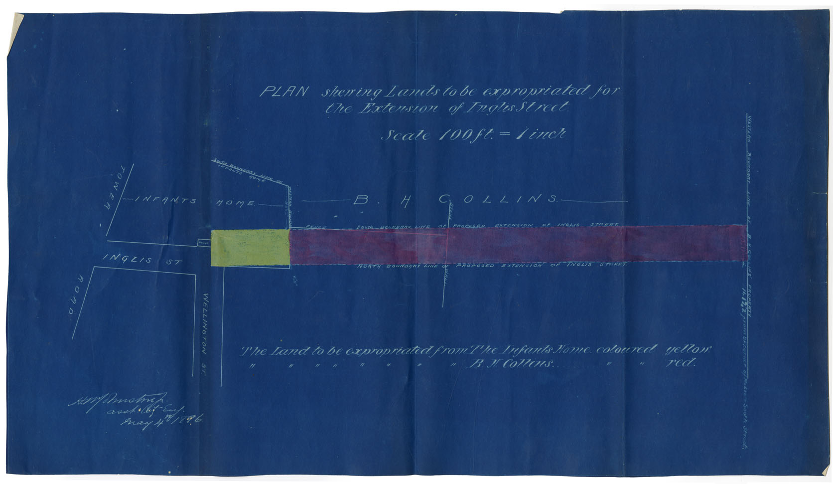
Plan showing Lands to be Expropiated for the Extension of Inglis Street
Date: 4 May 1896
Reference: Nova Scotia Archives Map Collection: F/240 - 1896
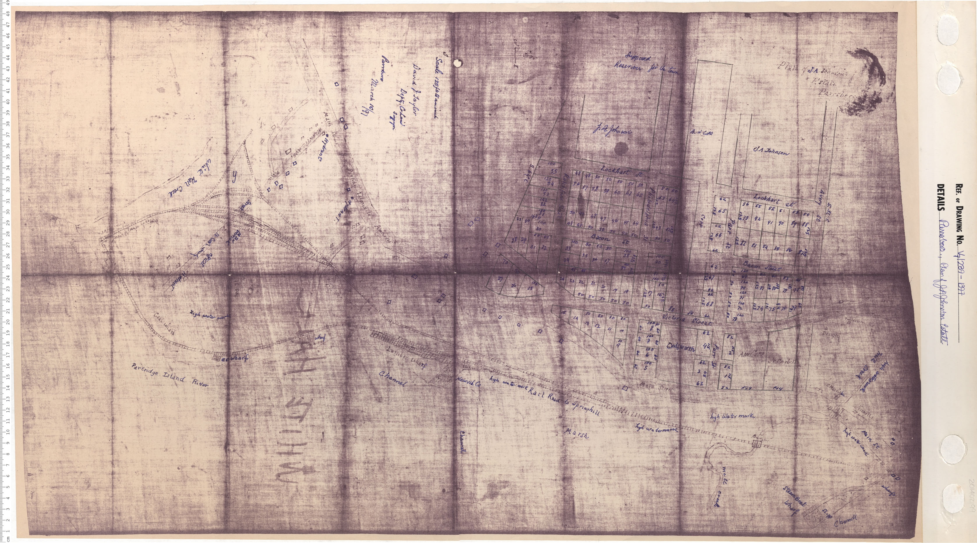
Parrsboro, Plan of J.A. Johnston Estate
Date: 1897
Reference: Nova Scotia Archives Map Collection: V7 239 Parrsboro, Nova Scotia
Design of the Subdivion of Old the Exbition Ground
Date: 1898
Reference: Nova Scotia Archives Map Collection: V6 240 Halifax, Nova Scotia
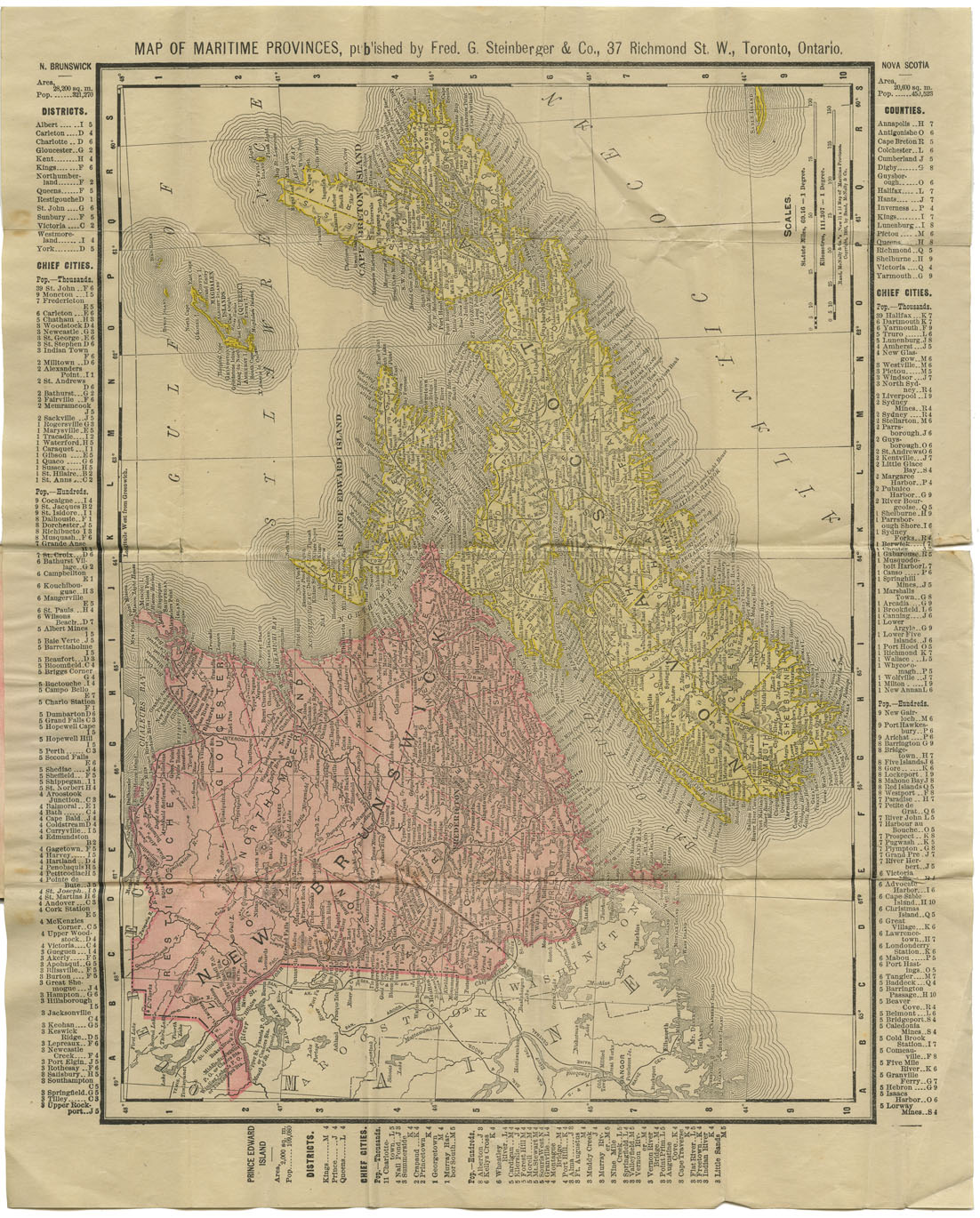
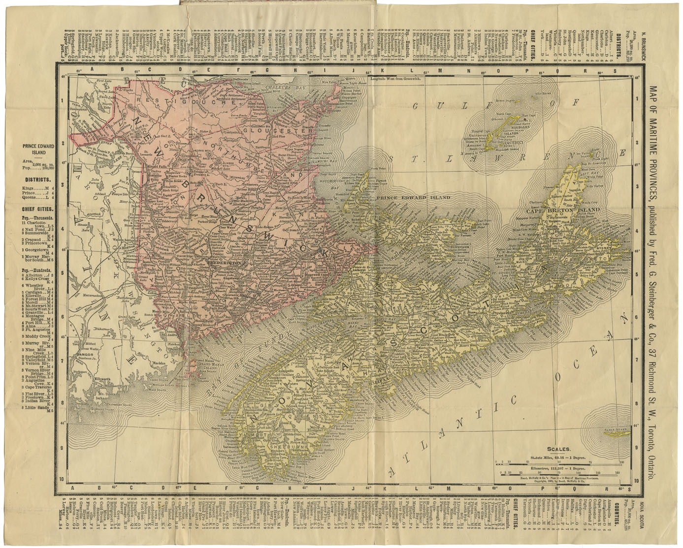
Steinberger's Gem Map of the Maritime Provinces
Date: 1898
Reference: Nova Scotia Archives Map Collection: F/200 - 1898
Steinberger's Gem Map of the Maritime Provinces
Date: 1898
Reference: Nova Scotia Archives Map Collection: F/200 - 1898

