Nova Scotia Archives
Historical Maps of Nova Scotia
Results 1186 to 1200 of 2074 from your search:
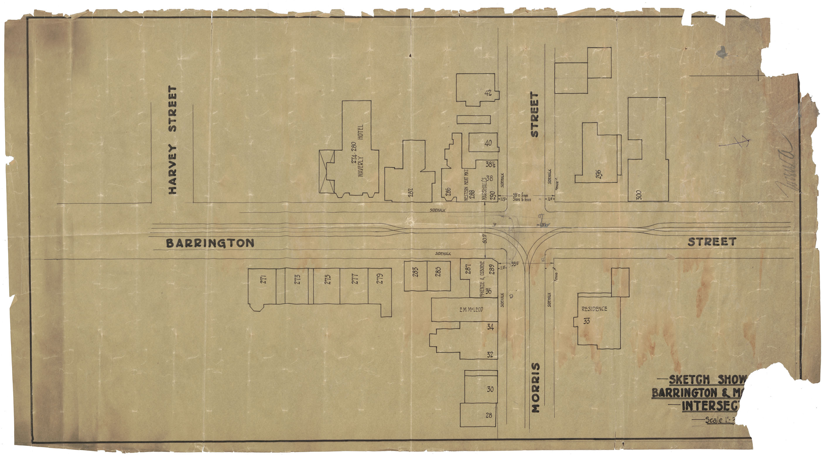
Sketch showing Intersection of Barrington and Morris Streets
Date:
Reference: Nova Scotia Archives Map Collection: F/240
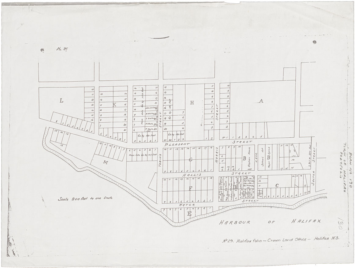
Town of Halifax South Suburbs harbour west to Queen Street north to Salter Street
Date:
Reference: Nova Scotia Archives Map Collection: F/240
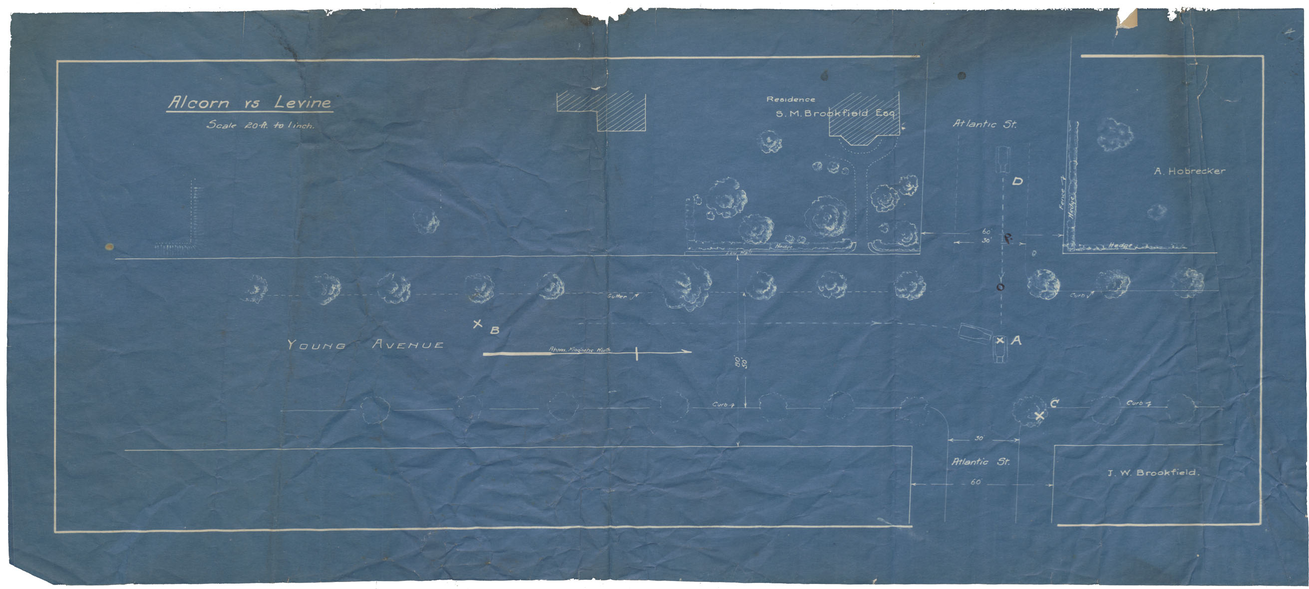
Intersection of Young Avenue & Atlantic Street
Date:
Reference: Nova Scotia Archives Map Collection: F/240
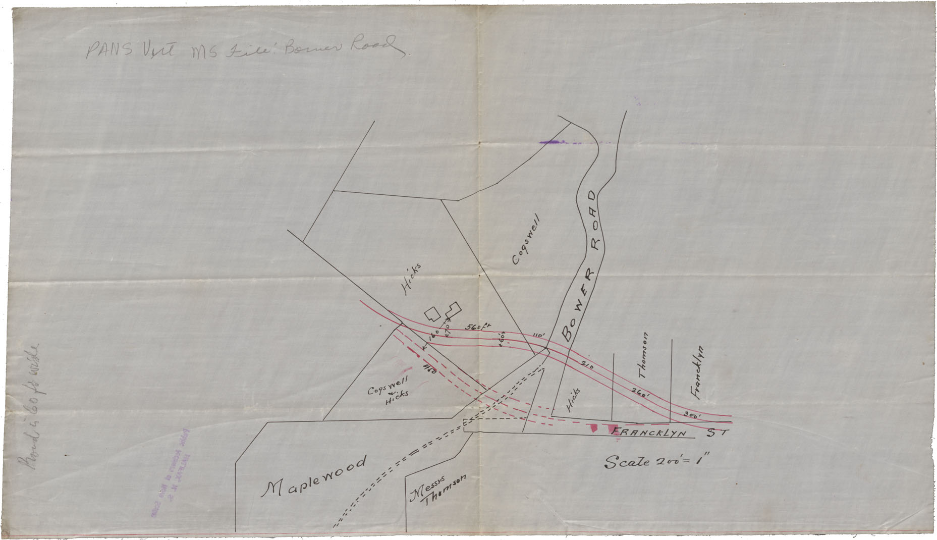
Plan of the Bowery Road Area showing "Maplewood", the property of Thompson, Cogswell, Hicks & Franklyn
Date:
Reference: Nova Scotia Archives Map Collection: F/240
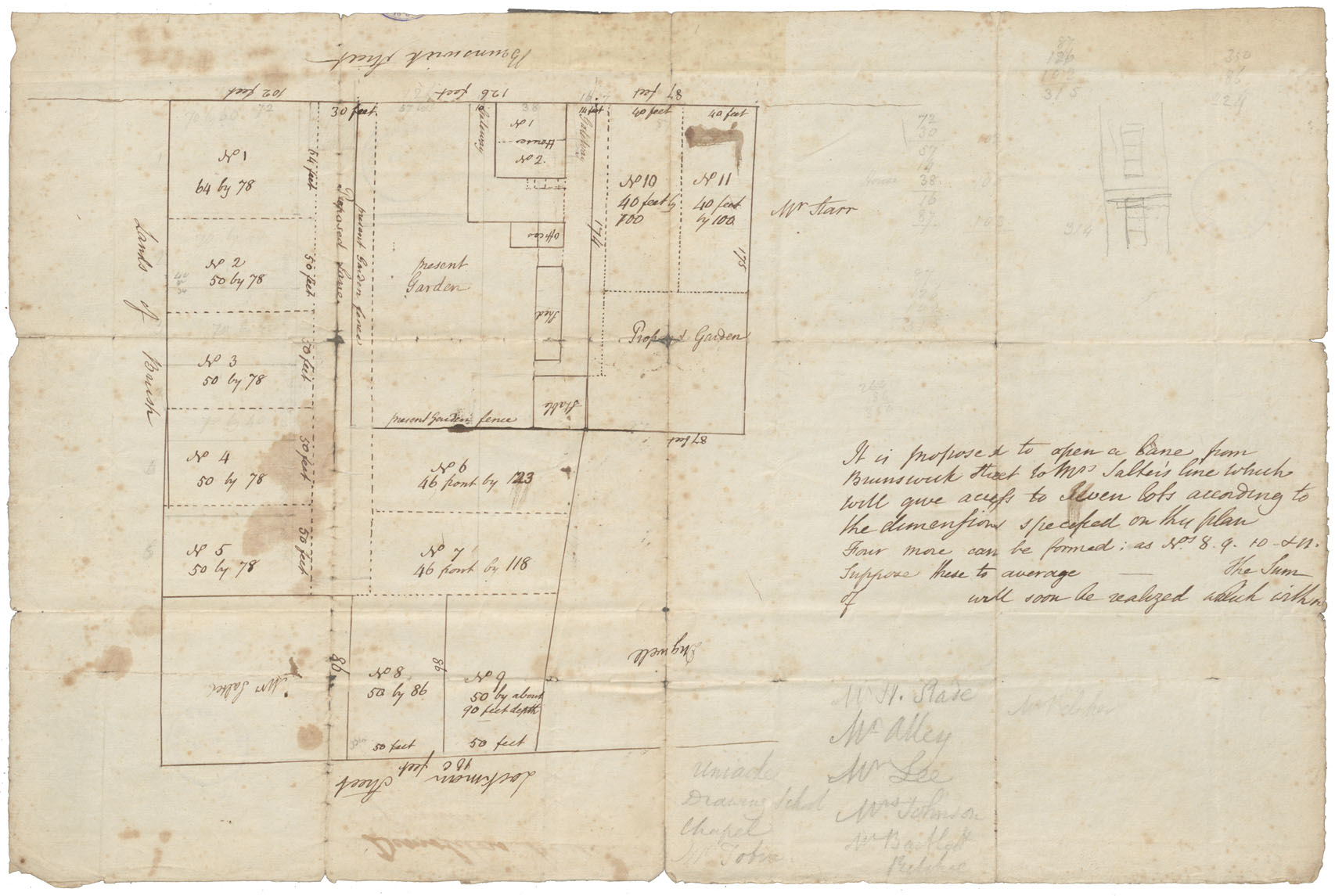
Demoliter House Grounds running from Brunswick to Lockman St
Date:
Reference: Nova Scotia Archives Map Collection: F/240
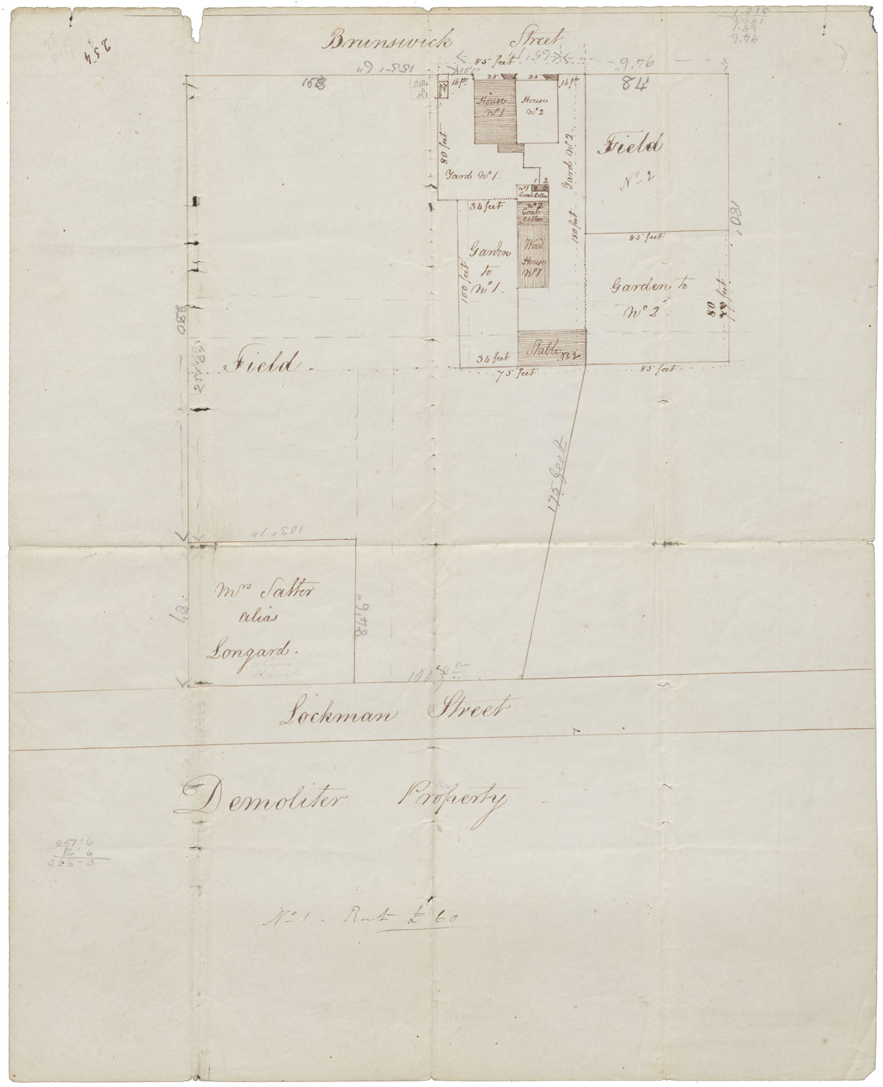
Demoliter Property, Brunswick St No1 Rent L60.0.0
Date:
Reference: Nova Scotia Archives Map Collection: F/240
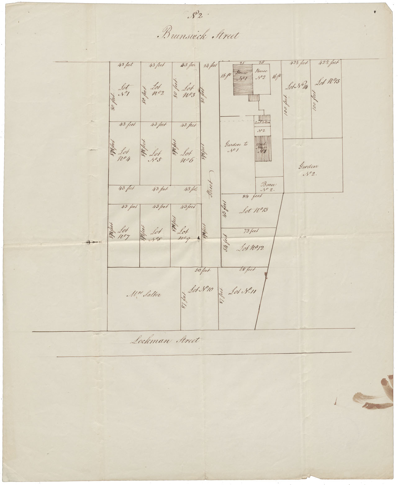
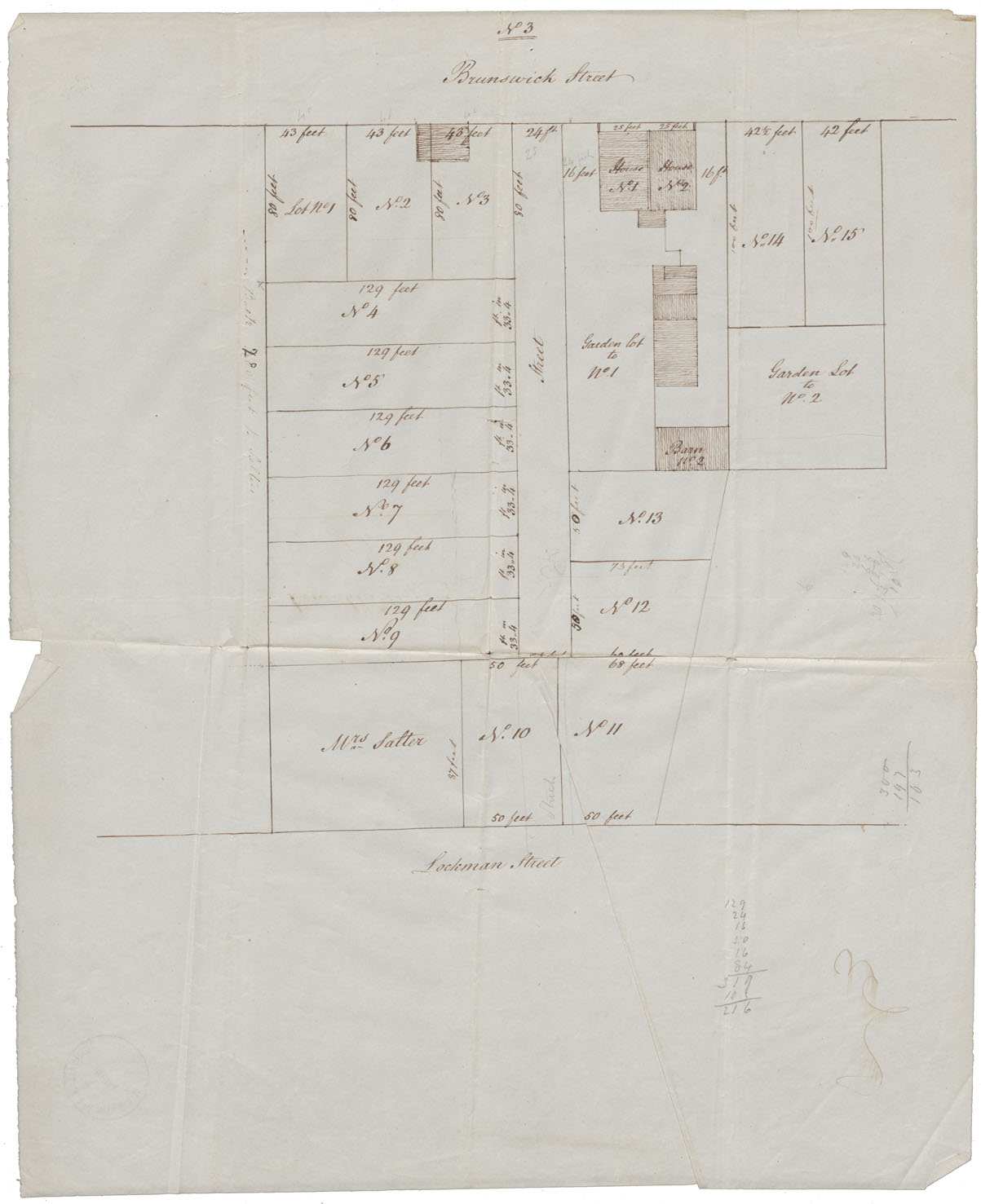
Demoliter Property (No2) Brunswick St between Lockman St
Date:
Reference: Nova Scotia Archives Map Collection: F/240
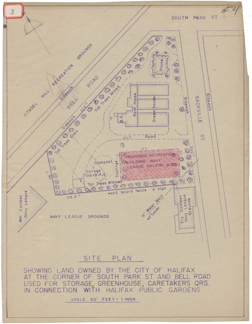
Site Plan showing Land owned by the City of Halifax at Corner of South Park St and Bell Road used for Storage, Greenhouse, Caretaker's Qrs in connection with Halifax Public Gardens
Date:
Reference: Nova Scotia Archives Map Collection: F/240
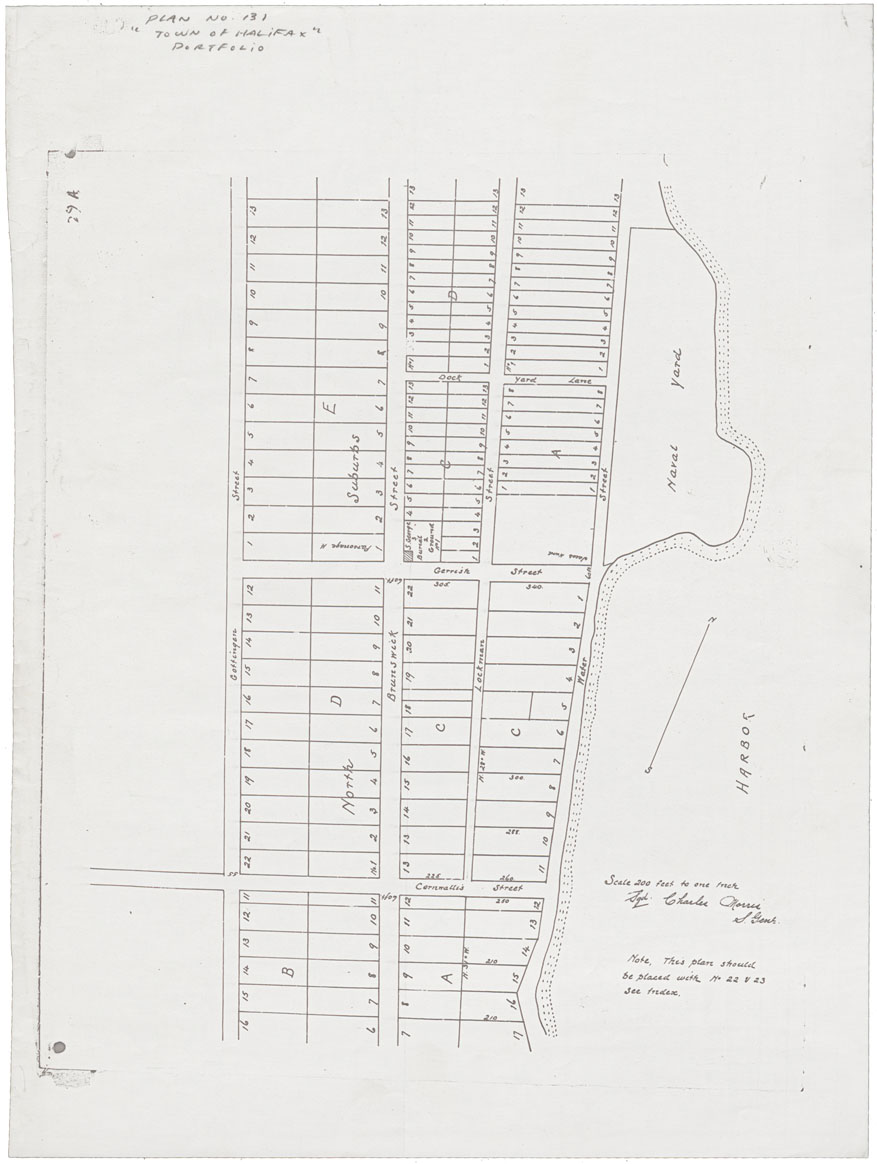
Town of Halifax Plan Layout North Suburbs, South of Cornwallis St, North to North St and West to Gottingen
Date:
Reference: Nova Scotia Archives Map Collection: F/240
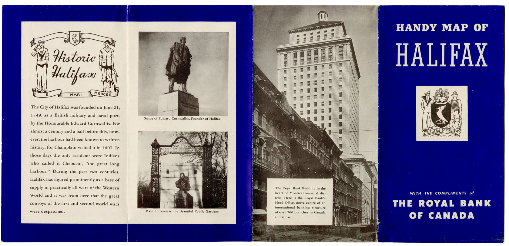
Handy Map of Halifax with the Compliments of the Royal Bank of Canada
Date:
Reference: Nova Scotia Archives Map Collection: F/240
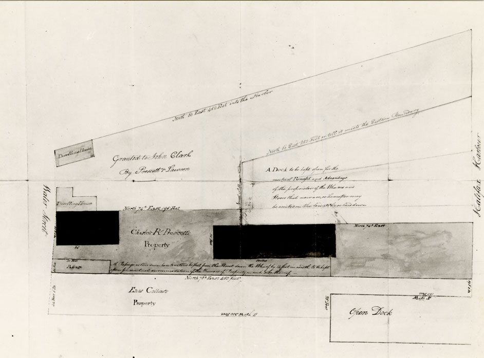
Charles R.Prescott's Property Water Street, Halifax
Date:
Reference: Nova Scotia Archives Map Collection: F/240
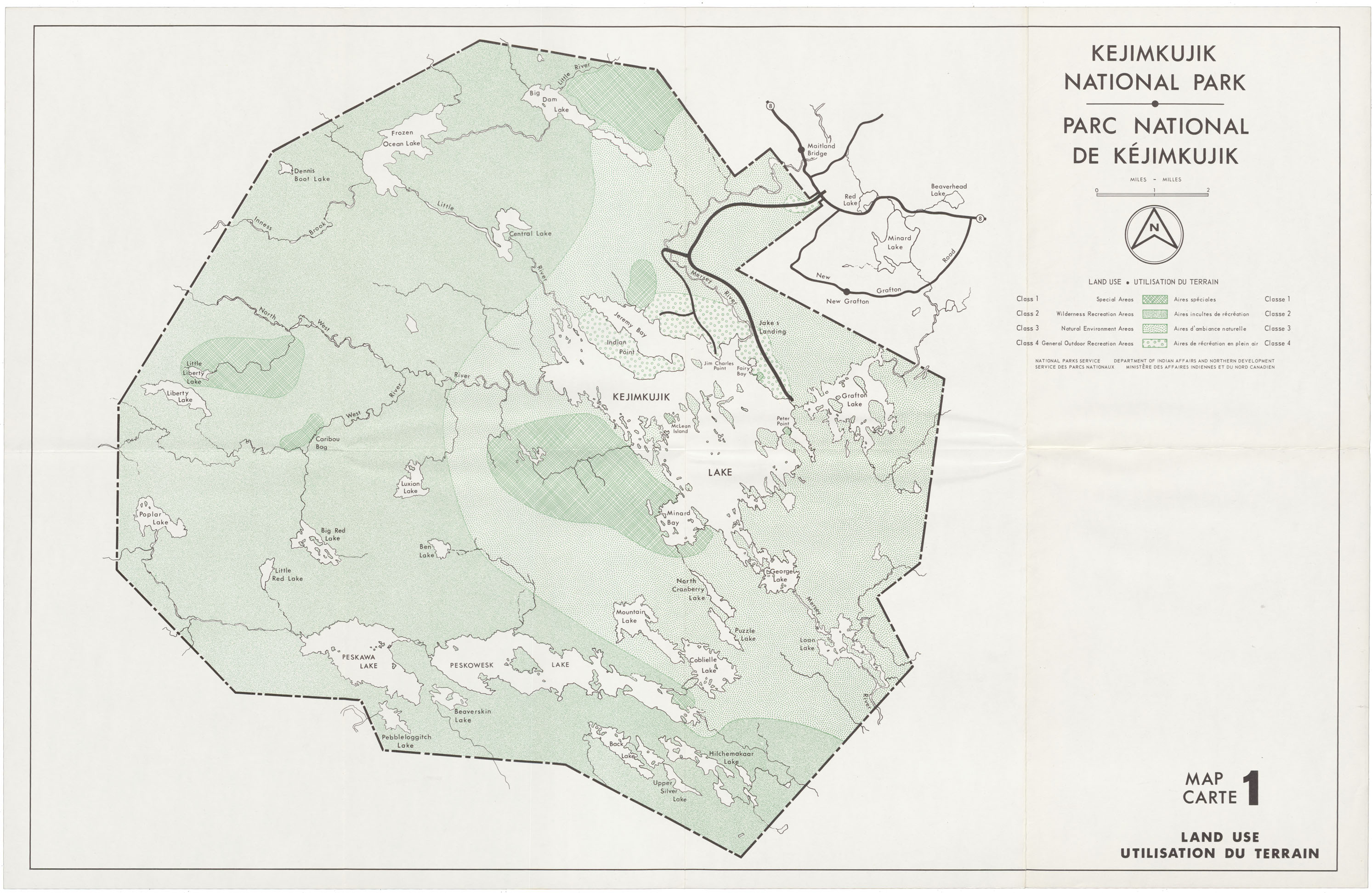
Kejimkujik National Park, Land Use Map 1
Date:
Reference: Nova Scotia Archives Map Collection: F/240
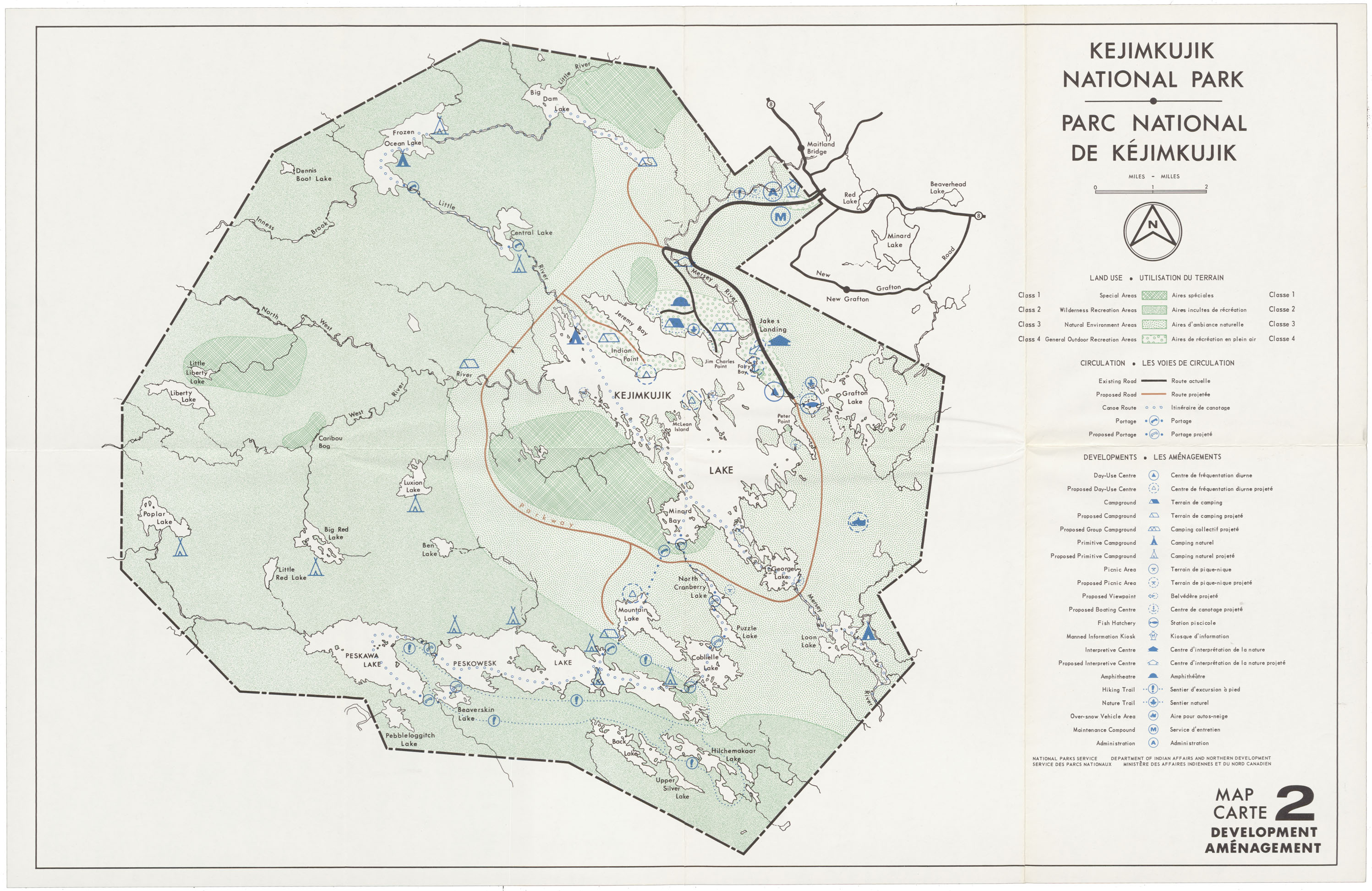
Kejimkujik National Park Development Map 2
Date:
Reference: Nova Scotia Archives Map Collection: F/240
