Nova Scotia Archives
Historical Maps of Nova Scotia
Results 361 to 375 of 905 from your search: 1800
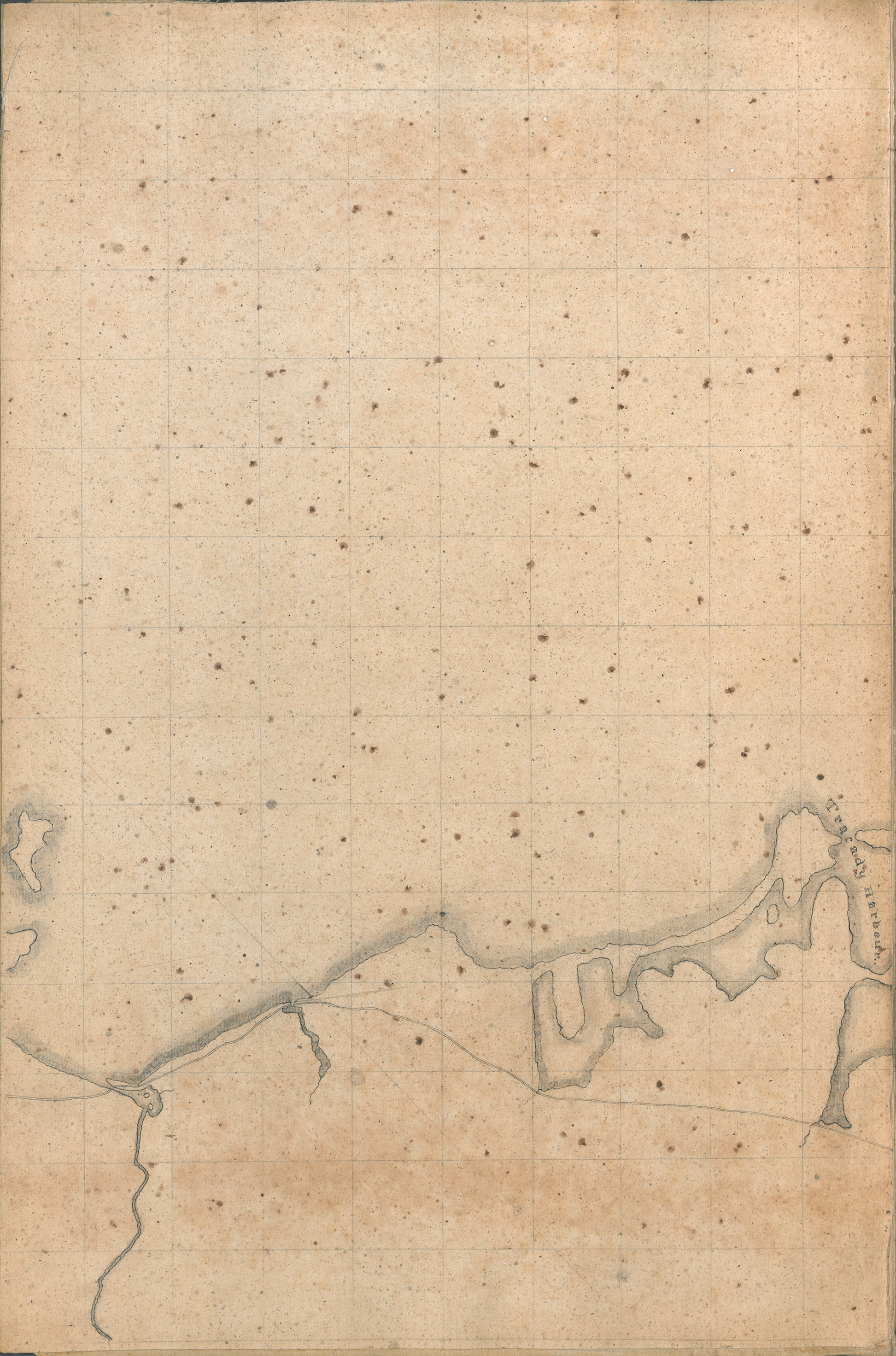
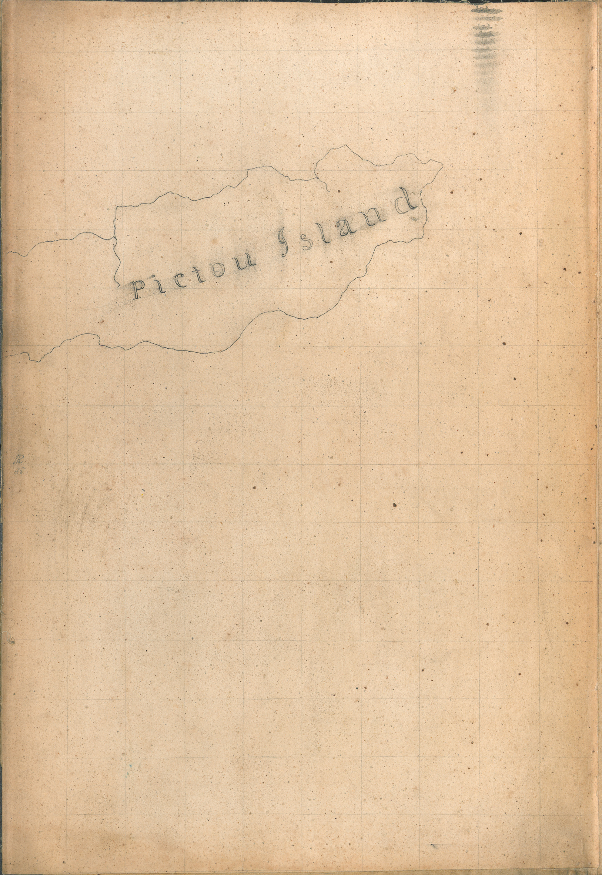
"The Great Map" William Mackay, 1834 - T 119 (4)
Date: 1834
Reference: Nova Scotia Archives Map Collection: The Great Map T 119
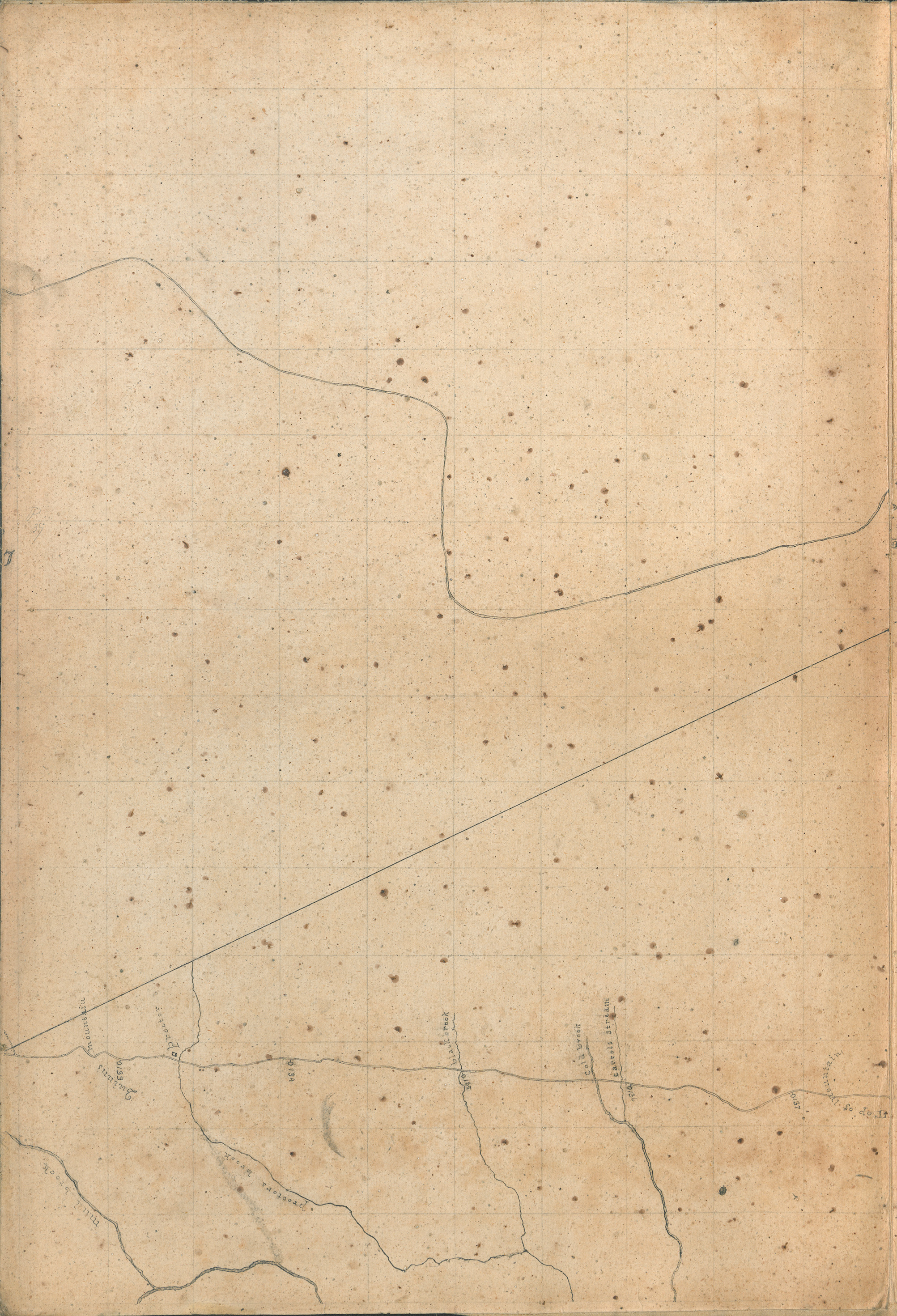
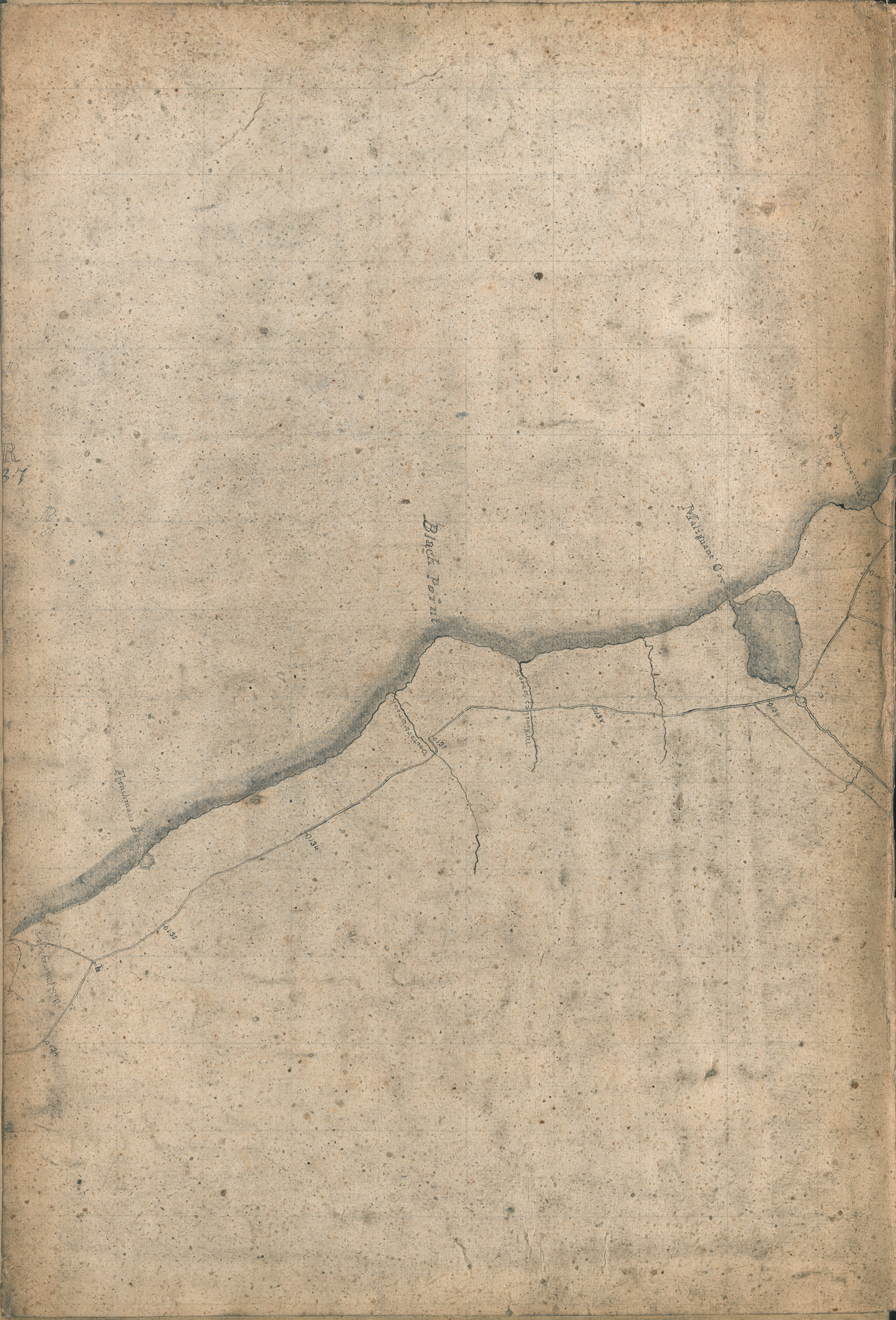
"The Great Map" William Mackay, 1834 - T 120 (4)
Date: 1834
Reference: Nova Scotia Archives Map Collection: The Great Map T 120
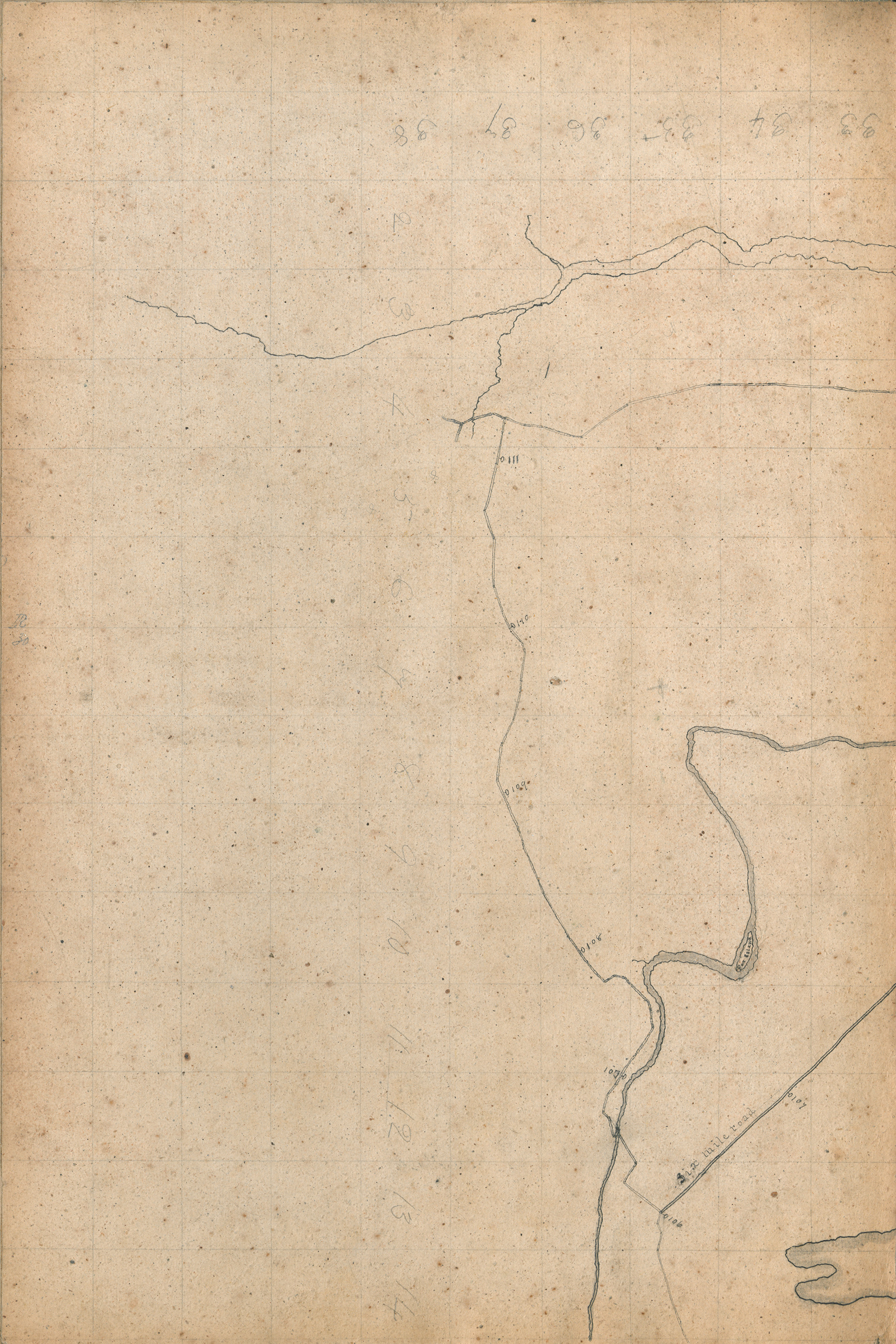
"The Great Map" William Mackay, 1834 - V 121 (3)
Date: 1834
Reference: Nova Scotia Archives Map Collection: The Great Map V 121
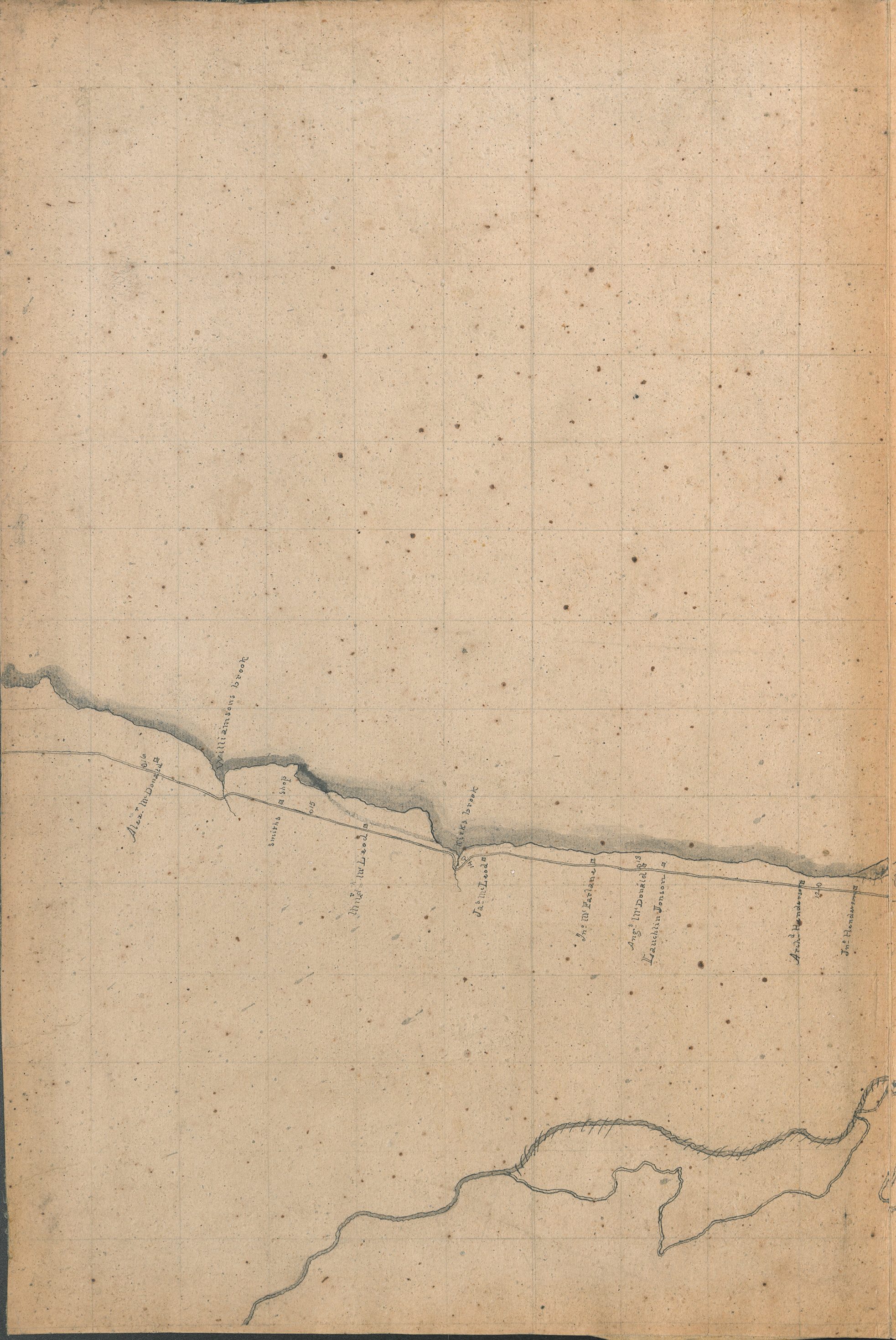
"The Great Map" William Mackay, 1834 - V 123 (4)
Date: 1834
Reference: Nova Scotia Archives Map Collection: The Great Map V 123
"The Great Map" William Mackay, 1834 - V 124 (4)
Date: 1834
Reference: Nova Scotia Archives Map Collection: The Great Map V 124
"The Great Map" William Mackay, 1834 - V 125 (3)
Date: 1834
Reference: Nova Scotia Archives Map Collection: The Great Map V 125
"The Great Map" William Mackay, 1834 - V 126 (3)
Date: 1834
Reference: Nova Scotia Archives Map Collection: The Great Map V 126
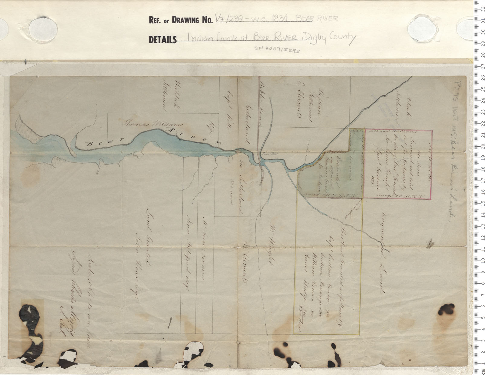
Indian Lands at Bear River, Digby County
Date: 1834
Reference: Nova Scotia Archives Map Collection: V7 239 Bear River, Nova Scotia
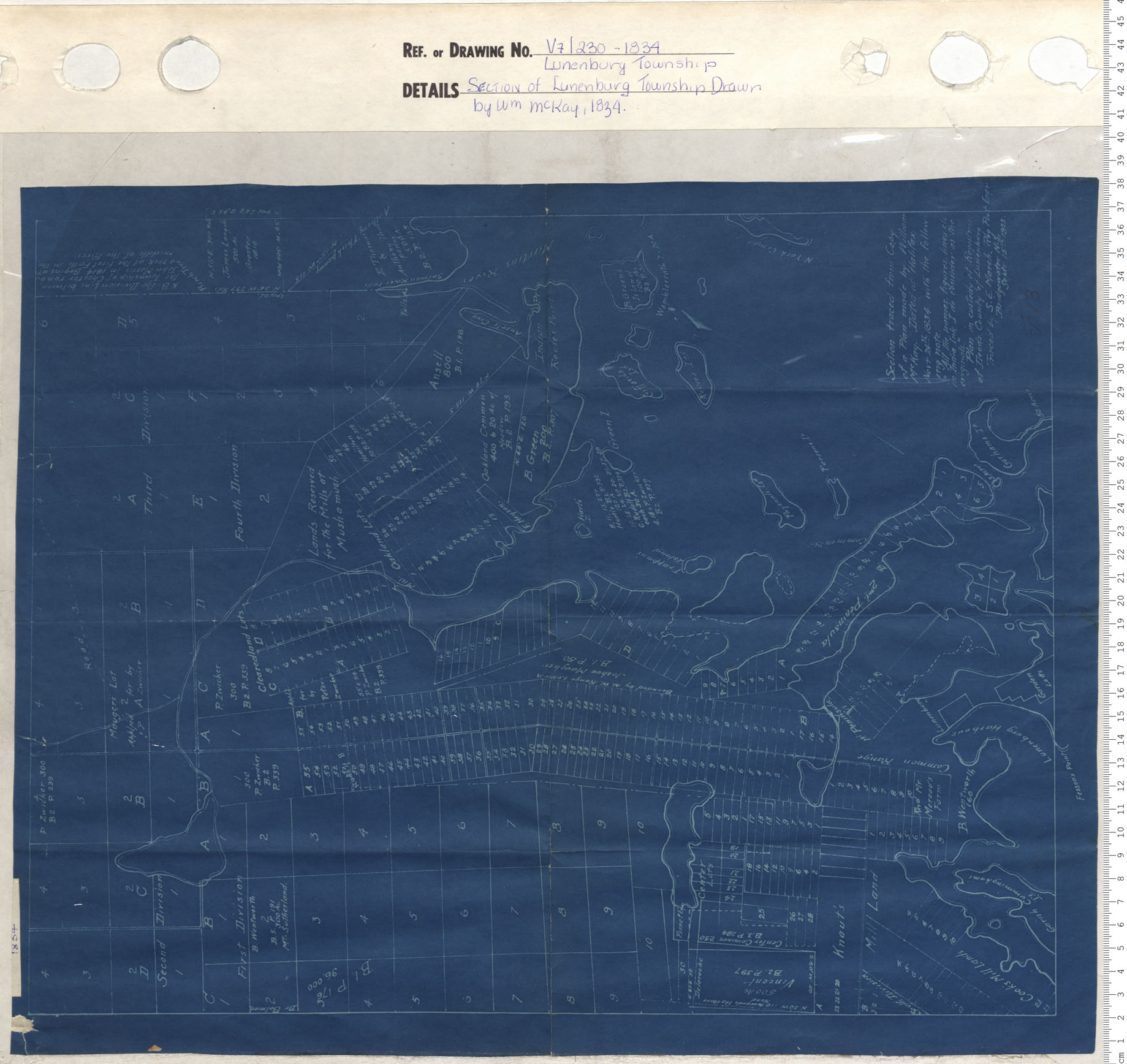
Section of Lunenburg Township Drawn by W.M. McKay, 1834
Date: 1834
Reference: Nova Scotia Archives Map Collection: V7 230 Lunenburg Township, Nova Scotia
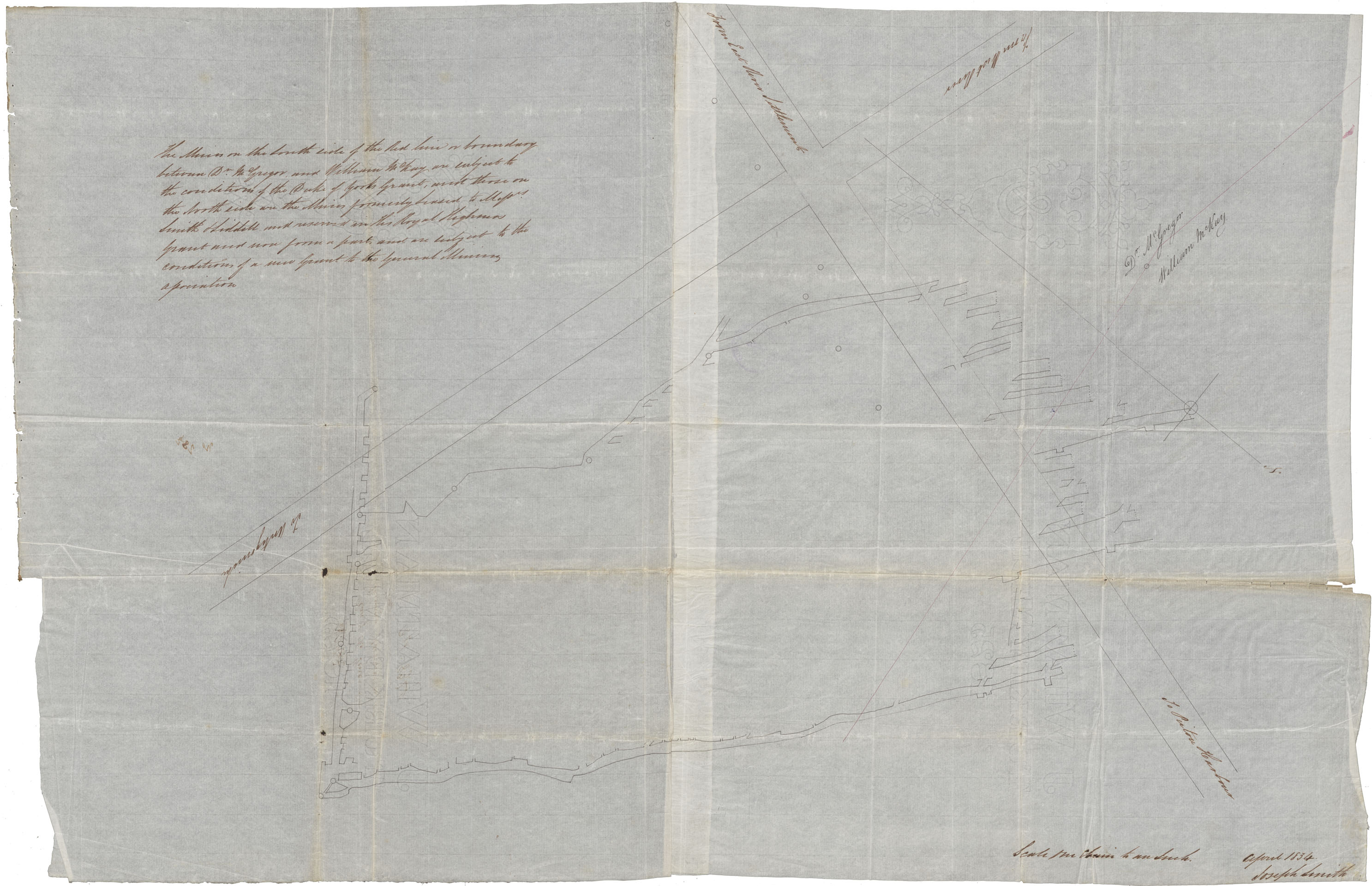
Plan of the General Mining Association at Pictou
Date: April 1834
Reference: Nova Scotia Archives Map Collection: F/239 - 1834
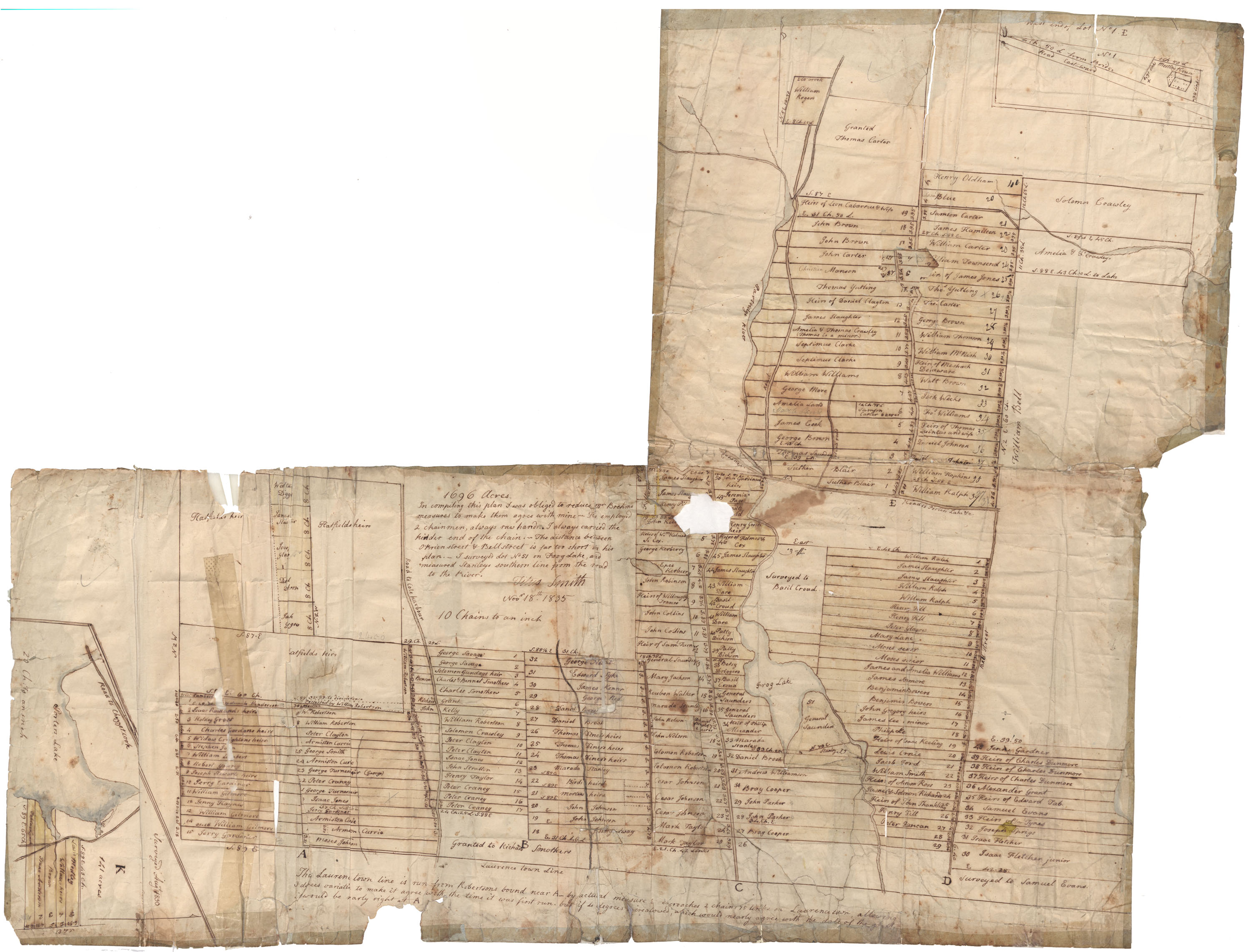
Land grants in Preston area
Date: 18 November 1835
Reference: Nova Scotia Archives RG 1 volume 419 number 20 in Map Collection: African Nova Scotians
Road from St.Denis to Tudeque
Date: 1835
Reference: Nova Scotia Archives Map Collection: F/209 - 1835
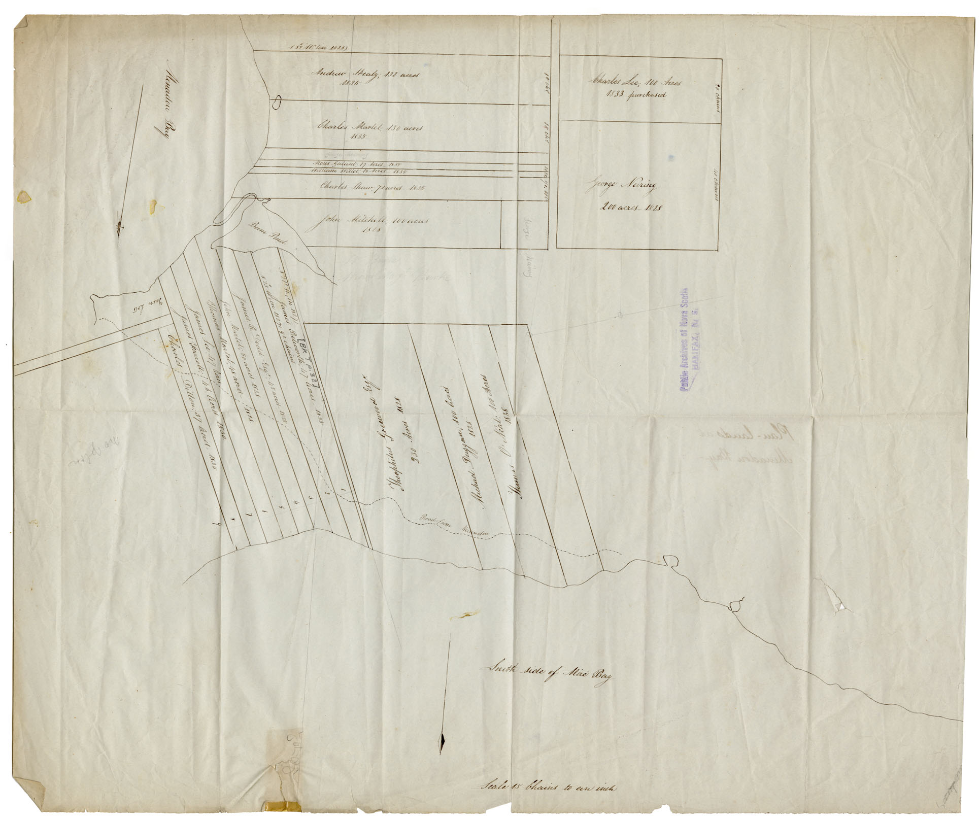
Cape Breton Plan of Lands at Menadou Bay c 1835
Date: 1835
Reference: Nova Scotia Archives Map Collection: F/240 - 1835
Town Plot of New Glasgow
Date: 1836
Reference: Nova Scotia Archives Map Collection: V7 239 New Glasgow, Nova Scotia
