Nova Scotia Archives
Historical Maps of Nova Scotia
Results 421 to 435 of 905 from your search: 1800
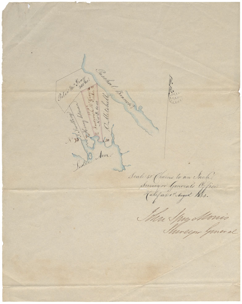
Halifax County Jeddore Harbour between Paschal Branch & Leslie Arm, 1844
Date: 1844
Reference: Nova Scotia Archives Map Collection: F/210 - 1844
Cumberland County Lots of land in or near Amherst town line
Date: 1844
Reference: Nova Scotia Archives Map Collection: F/220 - 1844
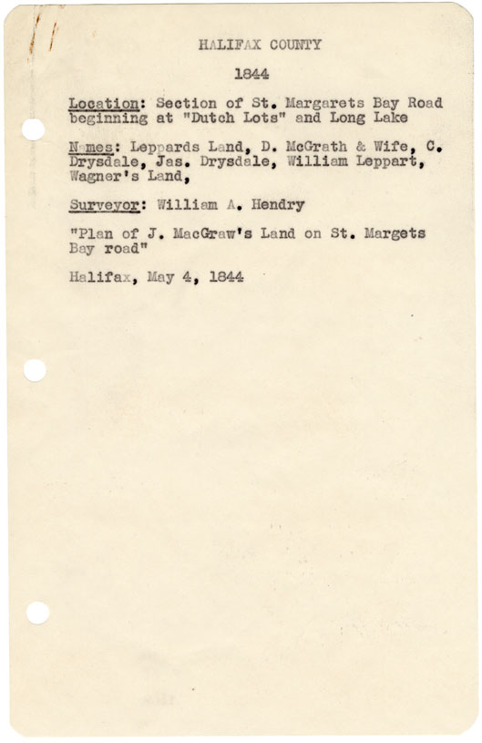
Halifax County Section of St Margaret's Bay Road beginning at "Dutch Lots" and Long Lake, 1844
Date: 4 May 1844
Reference: Nova Scotia Archives Map Collection: F/240 - 1844
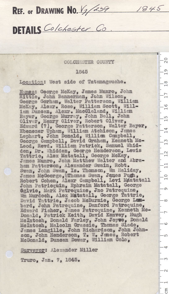
"A plan of the west side of Tatamagouche on a scale of..."
Date: 1845
Reference: Nova Scotia Archives Map Collection: V7 239 Colchester County, Nova Scotia
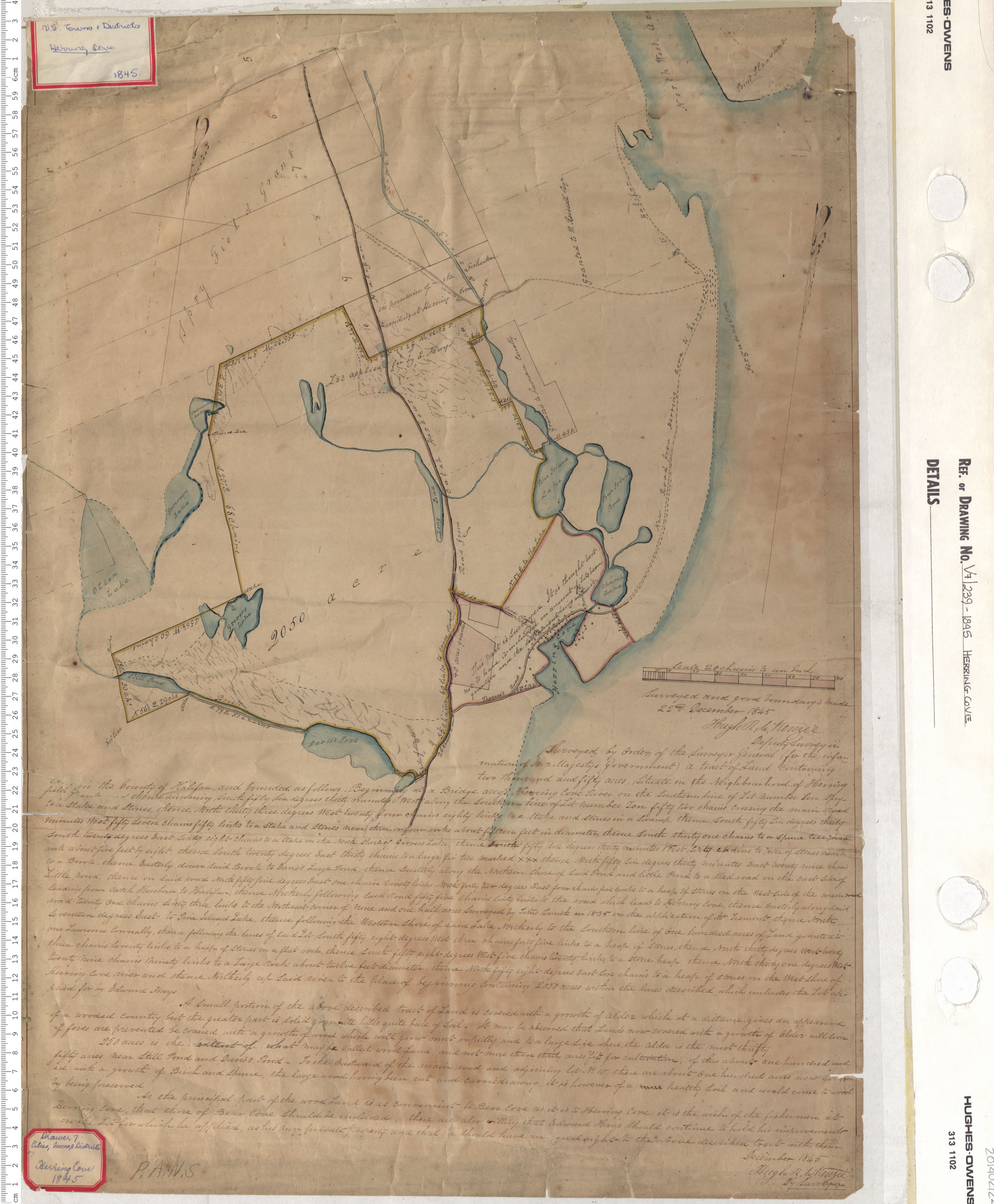
Herring Cove
Date: 1845
Reference: Nova Scotia Archives Map Collection: V7 239 Herring Cove, Nova Scotia
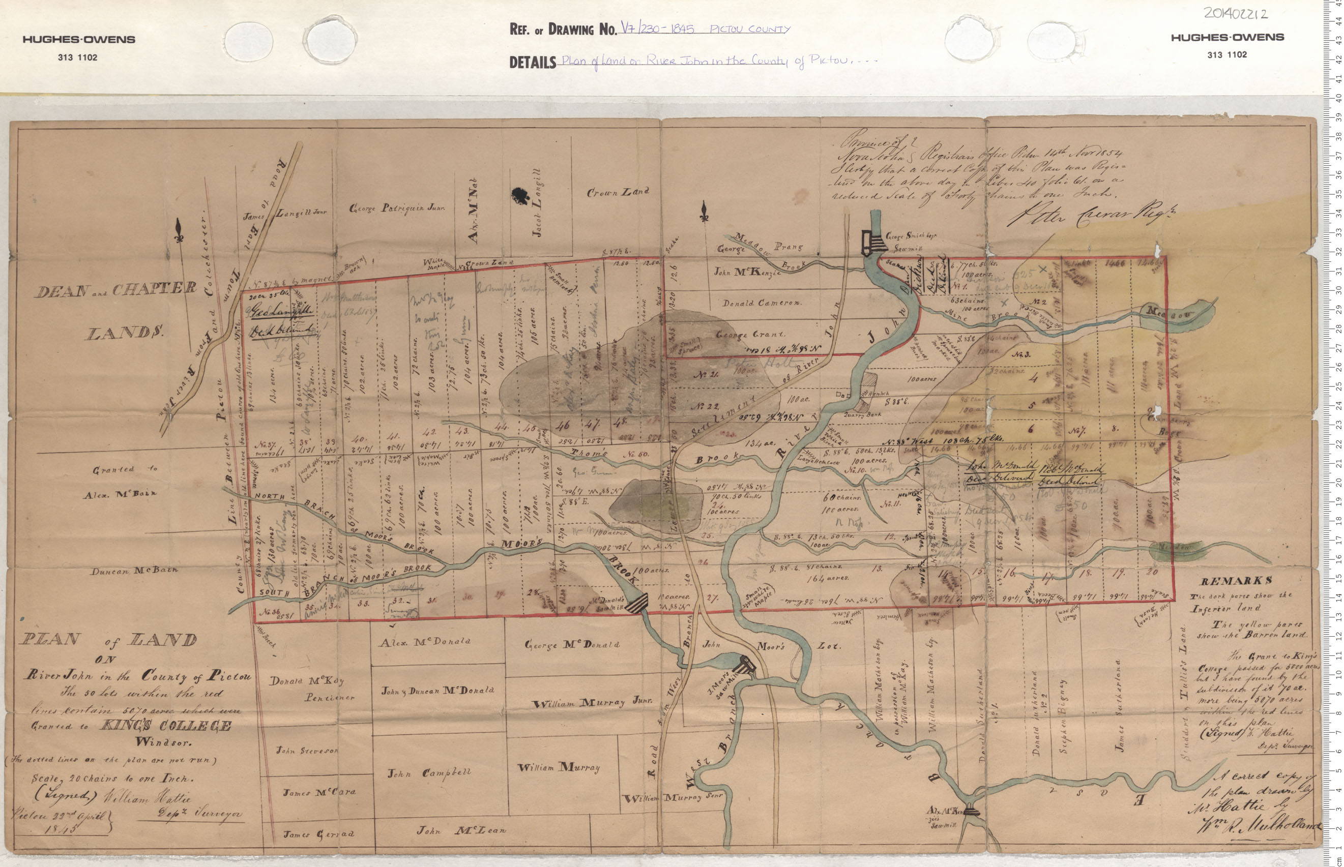
Plan of the Landon River John in the County of Pictou
Date: 1845
Reference: Nova Scotia Archives Map Collection: V7 230 Pictou County, Nova Scotia
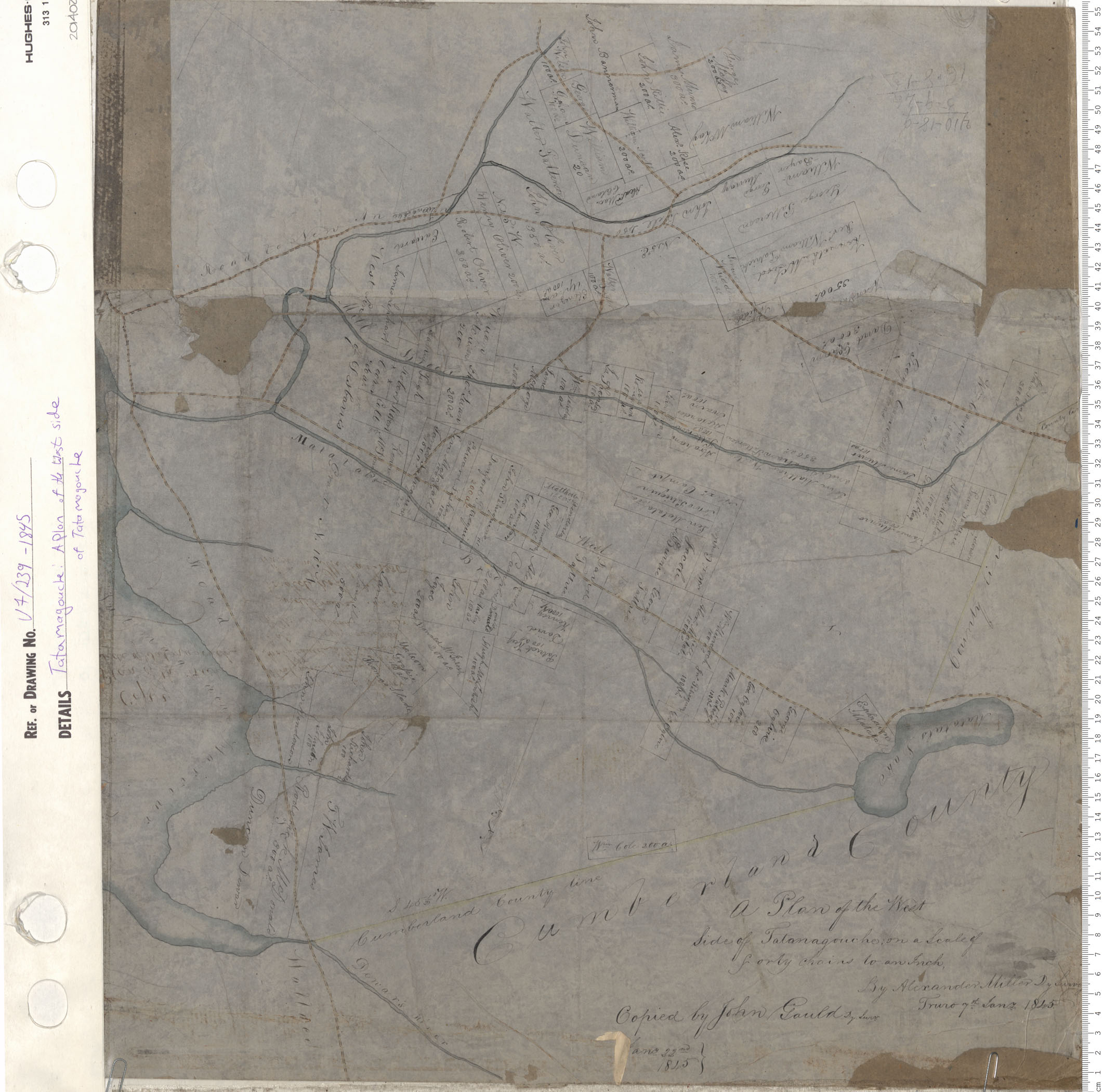
A Plan of the west side of Tatamagouche
Date: 1845
Reference: Nova Scotia Archives Map Collection: V7 239 Tatamagouche, Nova Scotia
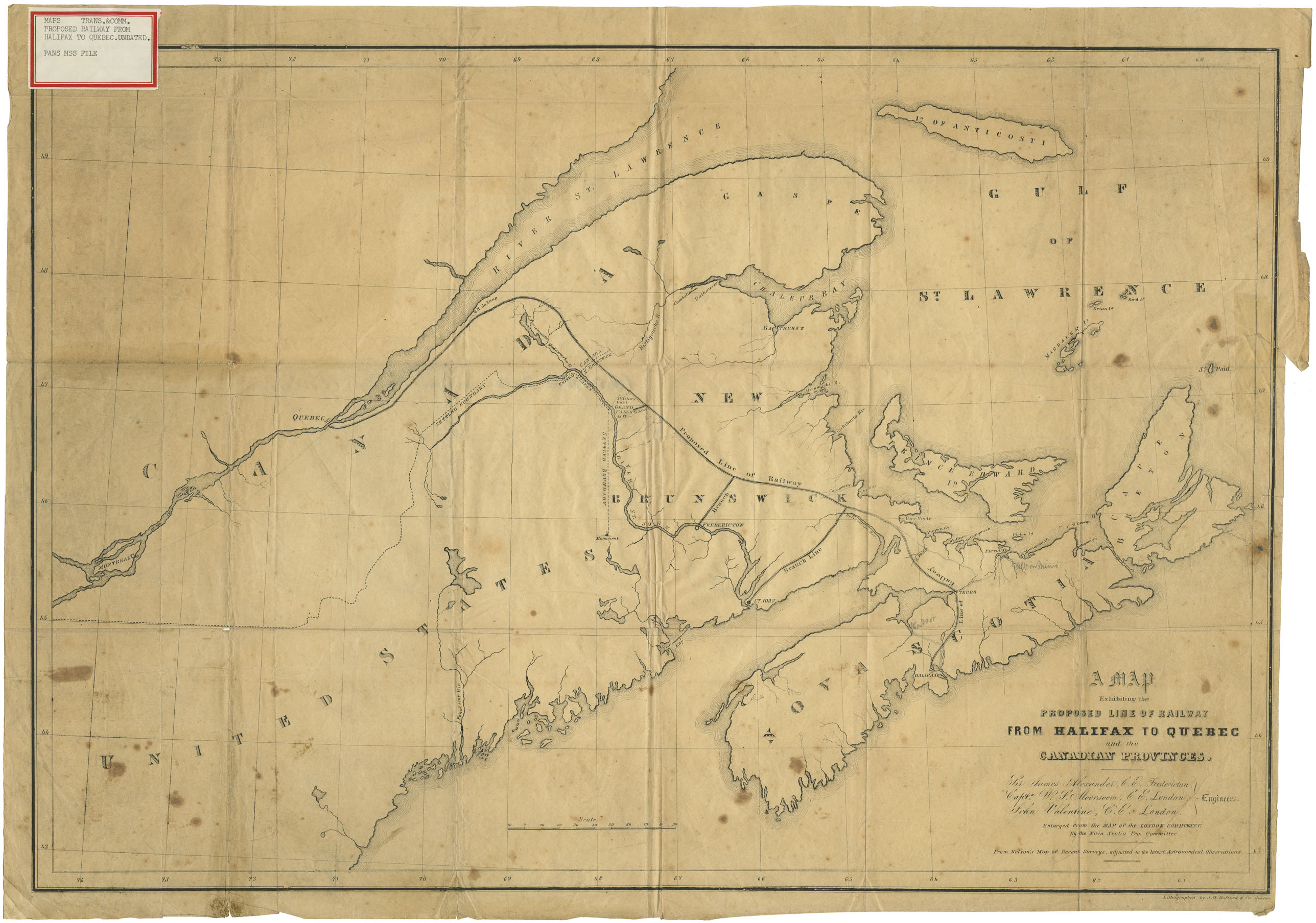
A Map Exhibiting the Proposed Line of Railway from Halifax to Quebec and the Canadian provinces
Date: 1845
Reference: Nova Scotia Archives Map Collection: F/200 - 1845
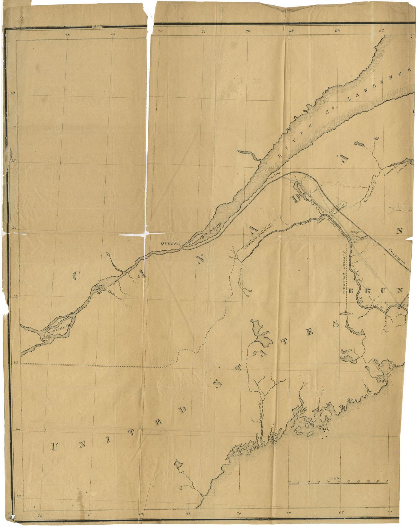
A map Exhibiting the Proposed Line of Railway from halifax to Quebec with minutes meeting at St.John held 27 Oct 1845 from Nelson map of Recent Survey
Date: 1845
Reference: Nova Scotia Archives Map Collection: F/200 - 1845
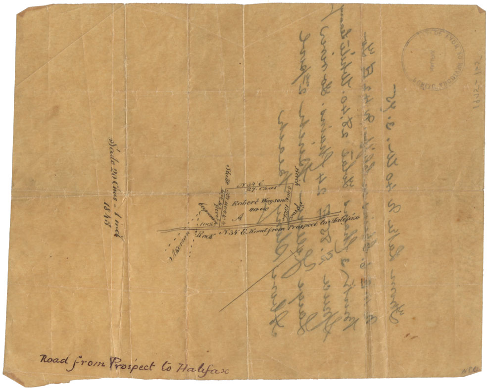
Road from Prospect to Halifax
Date: 1845
Reference: Nova Scotia Archives Map Collection: F/209 - 1845
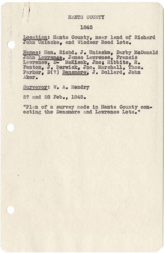
Hants County near land of Richard John Uniacke and Windsor Road lots
Date: 27 and 28 February 1845
Reference: Nova Scotia Archives Map Collection: F/230 - 1845
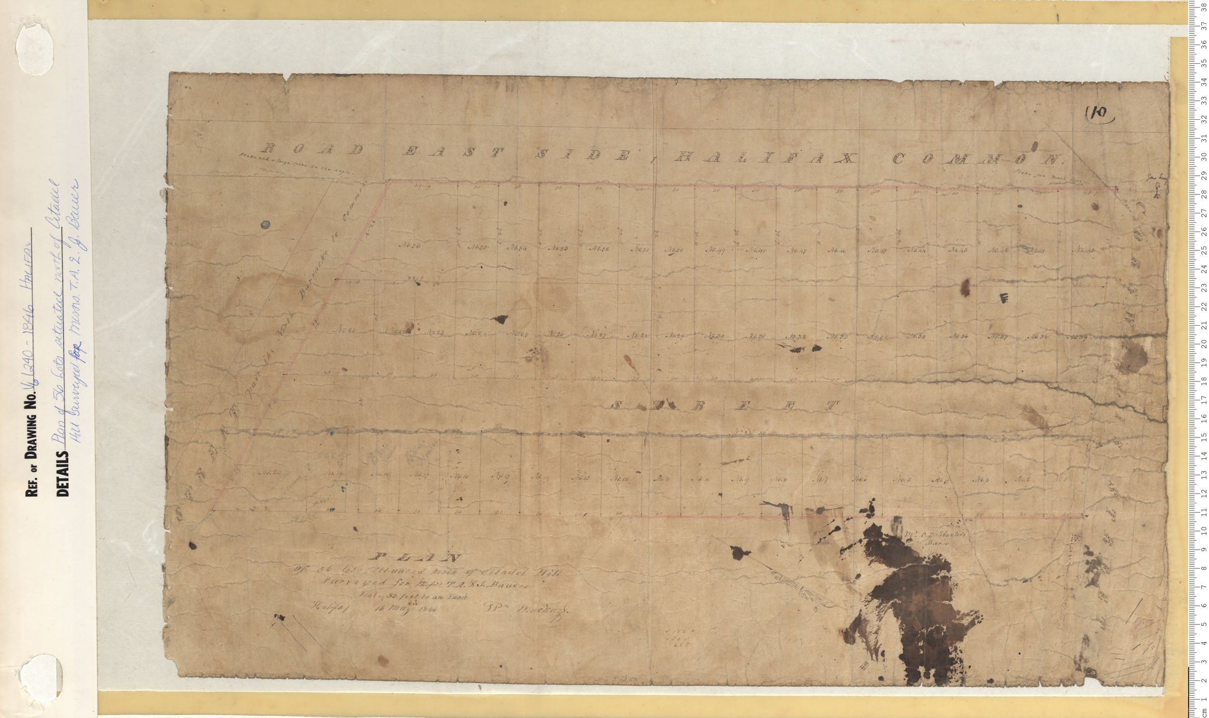
Plan of 56 Lots situated north of Citadel Hill surveyed for Messrs T.A.& J. Bauer
Date: 1846
Reference: Nova Scotia Archives Map Collection: V6 240 Halifax, Nova Scotia
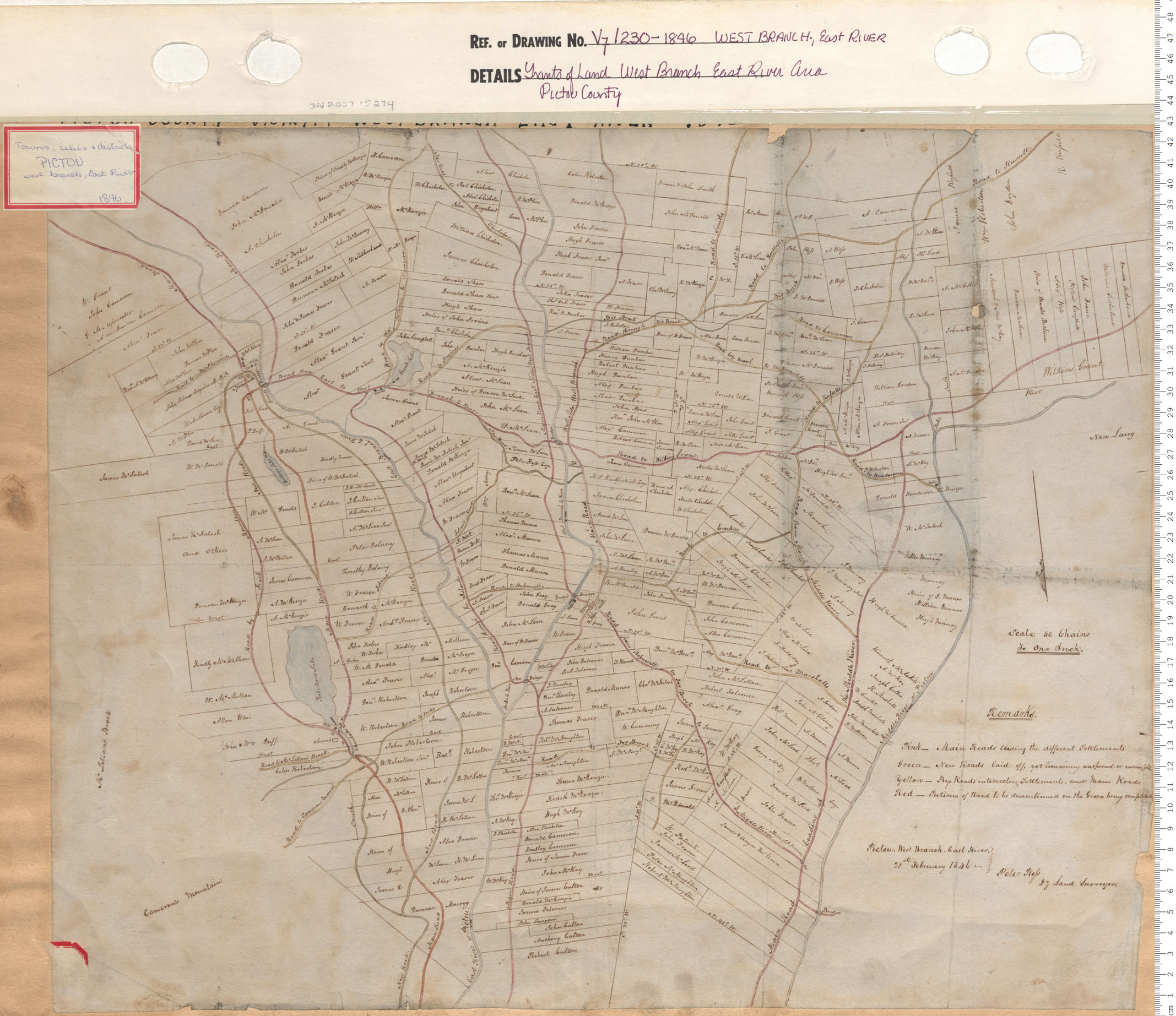
Grant of West Branch East River Area Pictou County
Date: 1846
Reference: Nova Scotia Archives Map Collection: V7 230 West Branch, East River, Nova Scotia
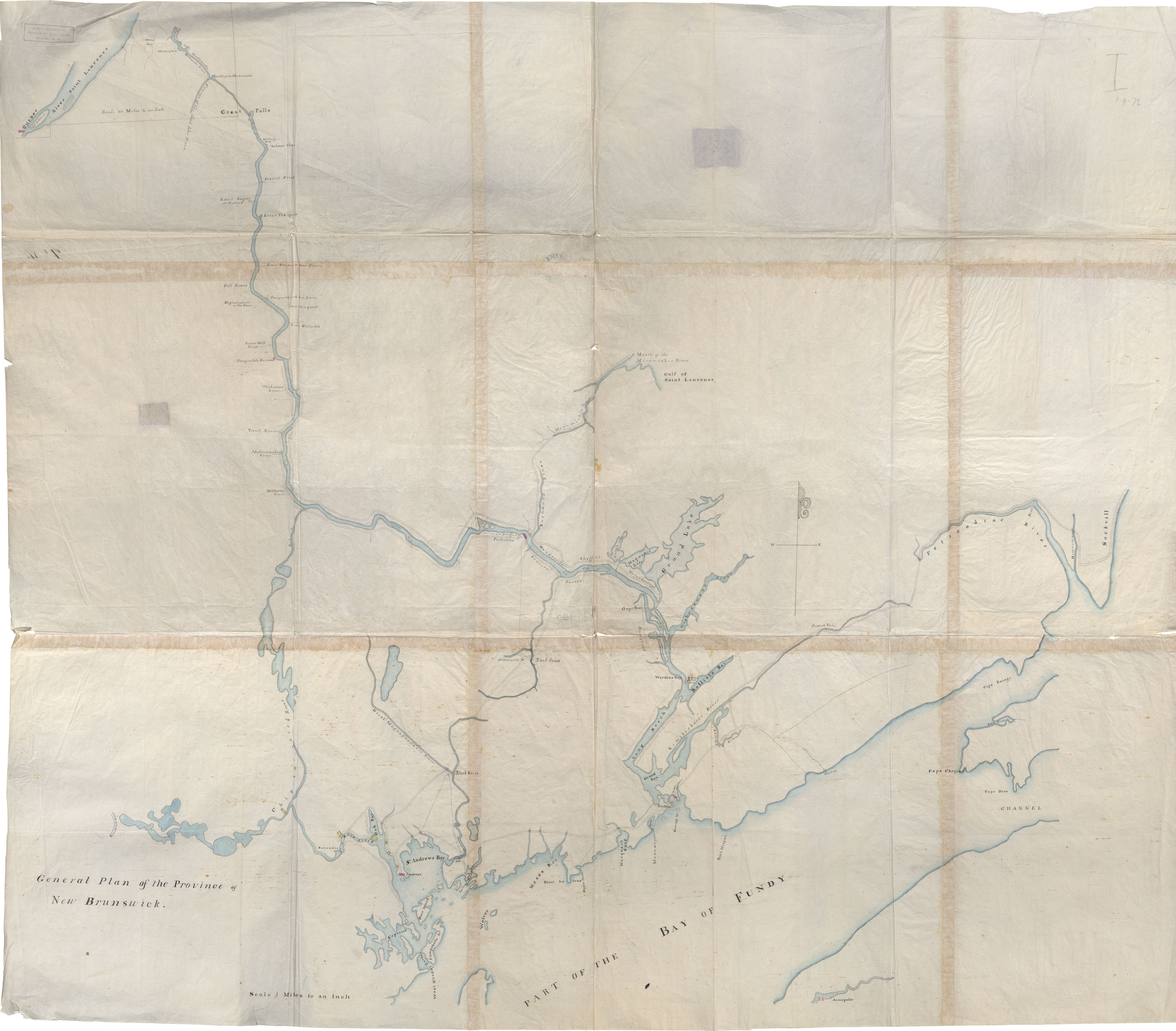
General Plan of New Brunswick
Date: 7 July 1846
Reference: Nova Scotia Archives Royal Engineers Maps and Plans P.05
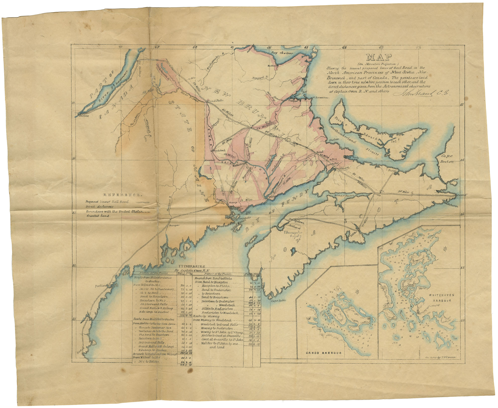
Map (on Mercator Projection) Showing the several Proposed lines of RailRoad in the N.A. provinces of N.S, N.B. and part of Canada
Date: 1846
Reference: Nova Scotia Archives Map Collection: F/200 - 1846
