Nova Scotia Archives
Mi'kmaw Community Gatherings
Geography and Maps
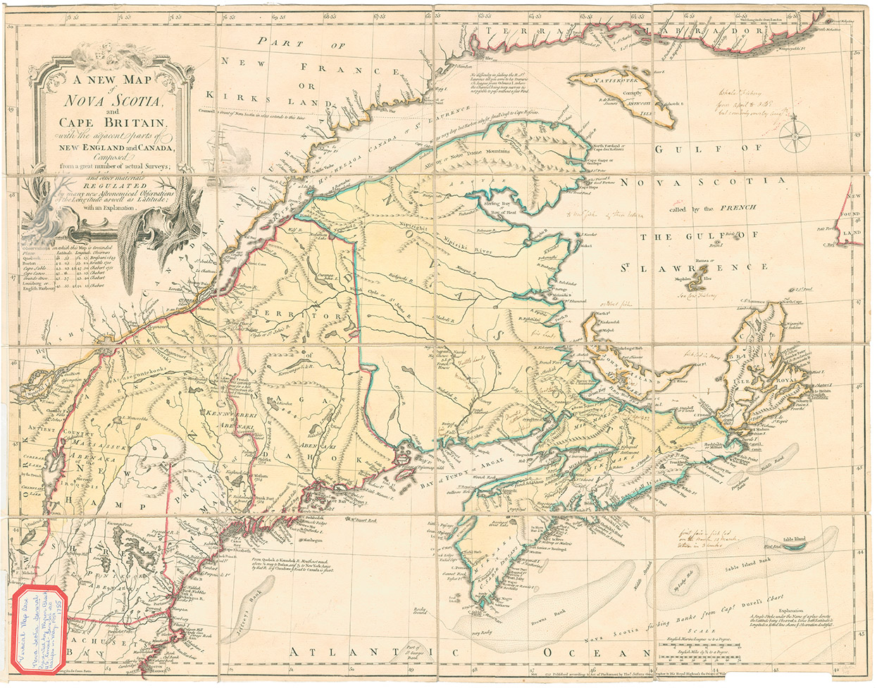
If the Mi’kmaq ever produced maps of their dominions, these have been lost in the mists of time. The earliest mapping of Mi’kmaq lands was by European cartographers and therefore shows the biases of western culture. For example, while the indigenous population is identified on Thomas Jeffery’s "A New Map of Nova Scotia & Cape Britain with the Adjacent parts of New England and Canada, 1755," there is no indication of their proprietary rights to the lands displayed on the map.
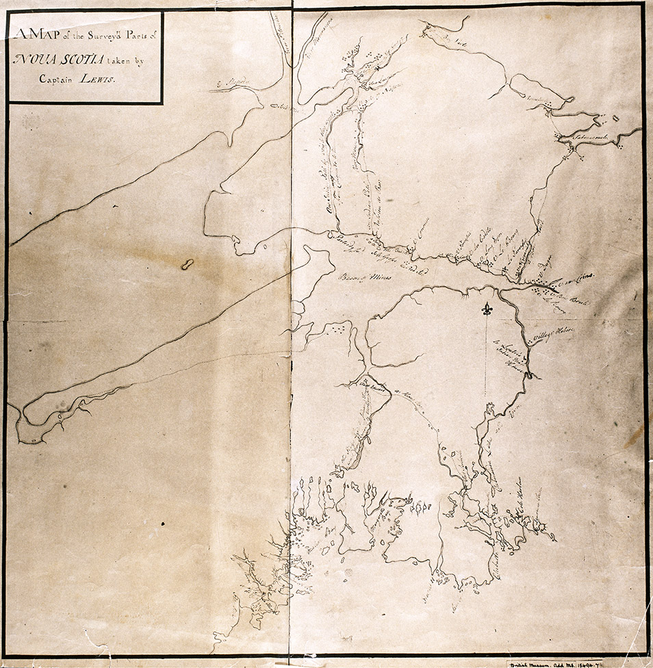
A far more revealing plan is that of Captain Lewis, the "Map of the surveyed parts of Nova Scotia," also dating from 1755. Lewis included landmarks such as the Abbé LeLoutre’s mass house, plus various identified trails and Acadian settlements in the province. These transportation routes and early communities were undoubtedly influenced by traditional Mi’kmaq paths and campsites prior to European settlement.
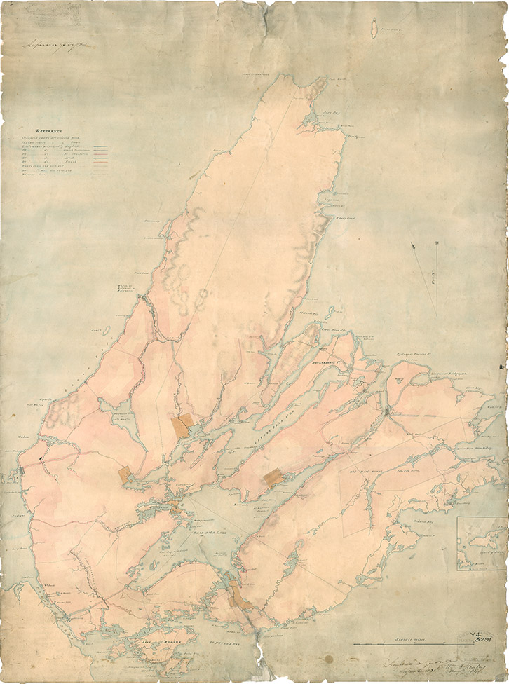
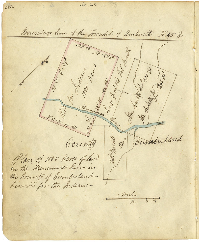
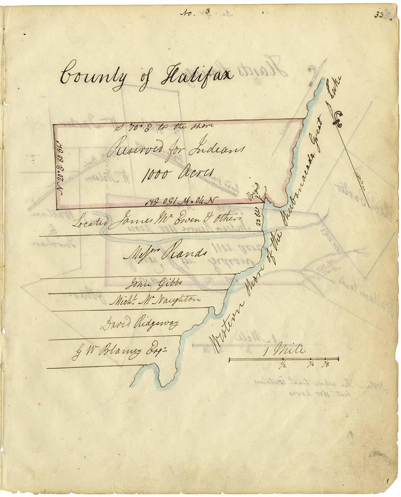
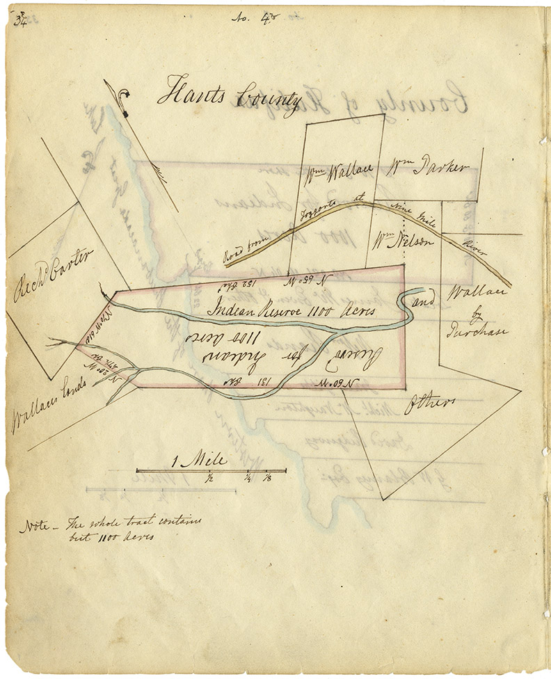
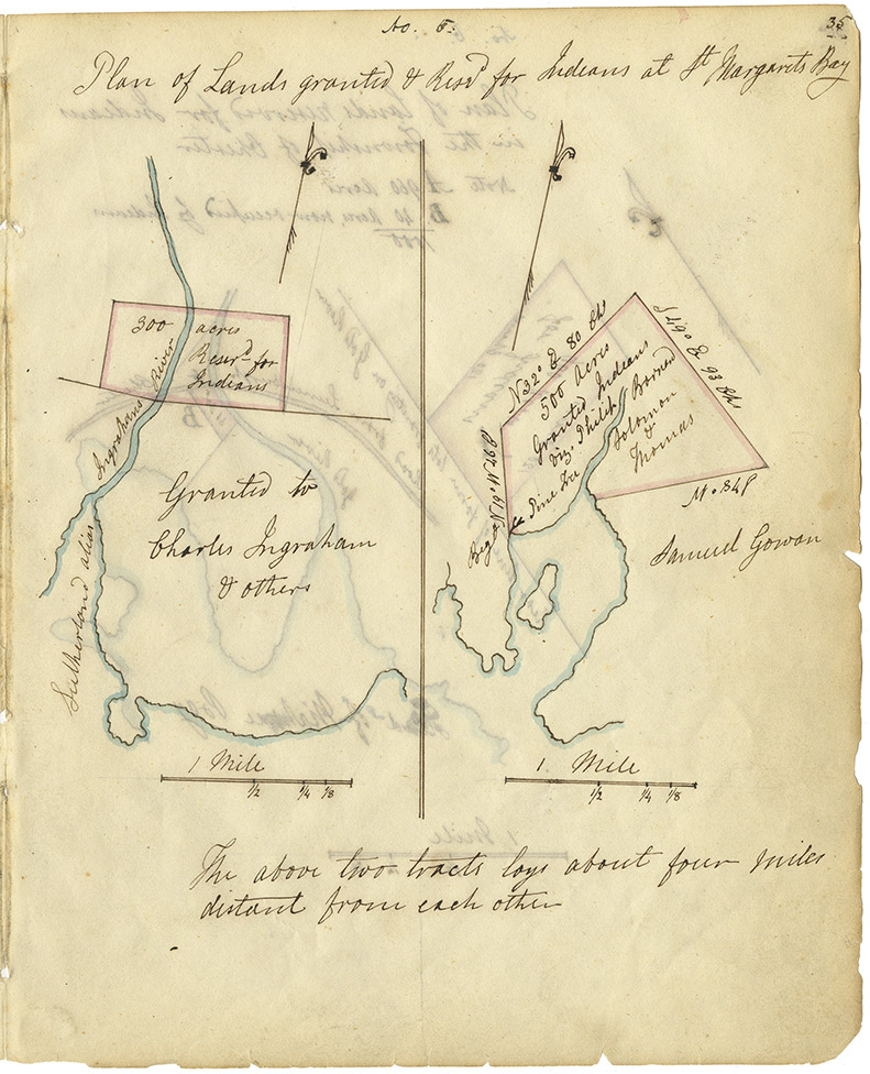
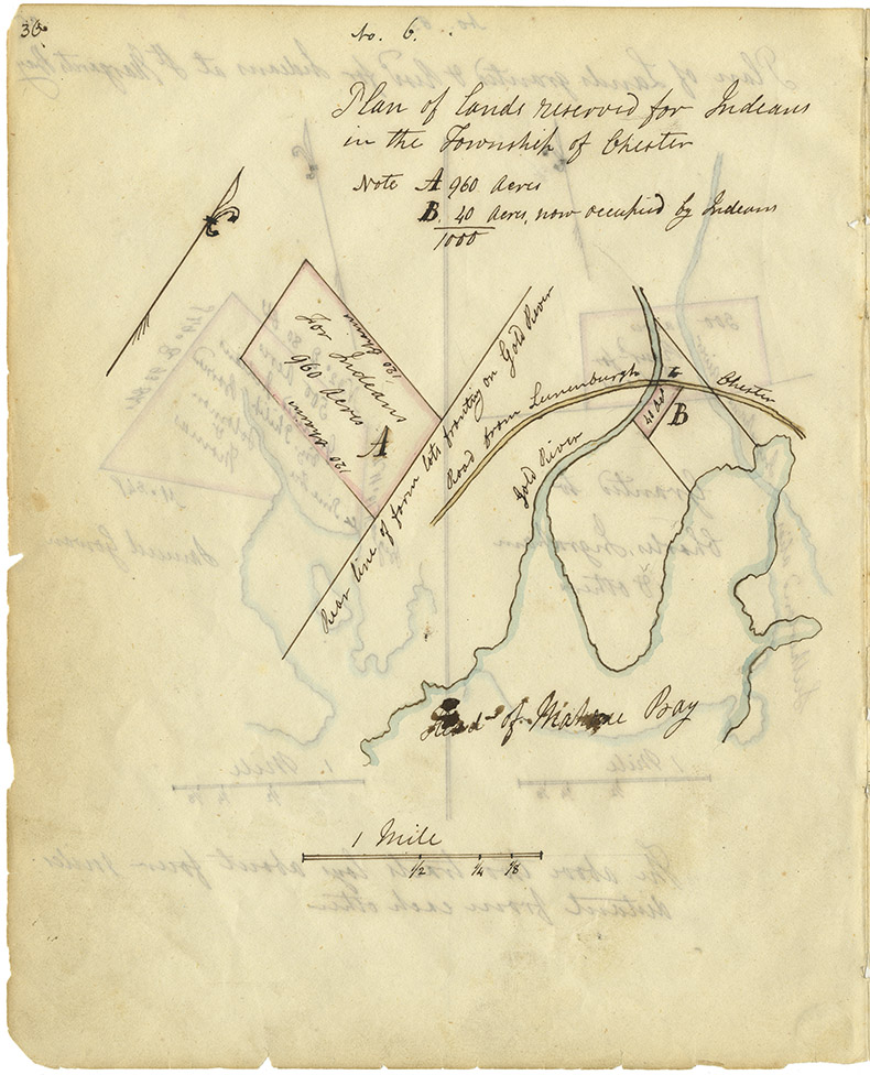
In the nineteenth century the government decided to ‘reserve’ or set aside lands for the Mi’kmaq population, as shown on "Map of Cape Breton, 1831" and in the extended "Maps of Indian Lands in Nova Scotia, 1842." With the creation of these reservations, and their delineation(s) in ink, the government defined Mi'kmaq proprietary rights in Nova Scotia.
Results 1 to 12 of 12 from your search: Geography and Maps
A New Map of Nova Scotia and Cape Britain and the adjacent parts of New England & Canada, 1755
Date: 1755
Publisher: Thomas Jefferys
Reference: Nova Scotia Archives Map Collection Nova Scotia Archives F/200-1755
Click for more information on this chapter
"Map of the surveyed parts of Nova Scotia taken by Captain Lewis, 1755."
Date: 1755
Cartographer: Captain Lewis
Reference: Nova Scotia Archives Map Collection Nova Scotia Archives F/202 - Nova Scotia 1755
Click for more information on this chapter
Map of Cape Breton, 1831
Date: 1831
Cartographer: John L. Johnston
Reference: Nova Scotia Archives Map Collection Nova Scotia Archives F/201 - Cape Breton 1831
Click for more information on this chapter
Mi'kmaq reservations in NS counties – Cumberland County
Date: 1842
Reference: Commissioner of Public Records — Indians series Nova Scotia Archives RG 1 Vol. 432 page 32
Click for more information on this chapter
Mi'kmaq reservations in NS counties – Halifax County, west side Shubenacadie Lake
Date: 1842
Reference: Commissioner of Public Records — Indians series Nova Scotia Archives RG 1 Vol. 432 page 33
Click for more information on this chapter
Mi'kmaq reservations in NS counties – Hants County
Date: 1842
Reference: Commissioner of Public Records — Indians series Nova Scotia Archives RG 1 Vol. 432 page 34
Click for more information on this chapter
Mi'kmaq reservations in NS counties – Halifax County, St. Margaret's Bay
Date: 1842
Reference: Commissioner of Public Records — Indians series Nova Scotia Archives RG 1 Vol. 432 page 35
Click for more information on this chapter
Mi'kmaq reservations in NS counties – Lunenburg County
Date: 1842
Reference: Commissioner of Public Records — Indians series Nova Scotia Archives RG 1 Vol. 432 page 36
Click for more information on this chapter
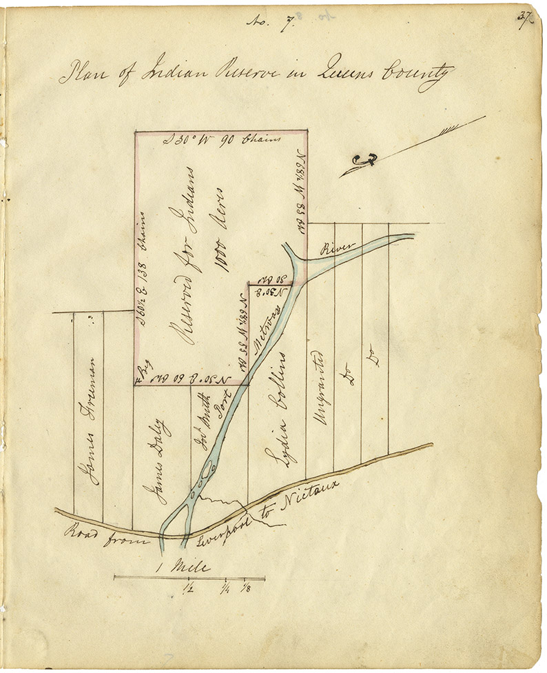
Mi'kmaq reservations in NS counties – Queens County
Date: 1842
Reference: Commissioner of Public Records — Indians series Nova Scotia Archives RG 1 Vol. 432 page 37
Click for more information on this chapter
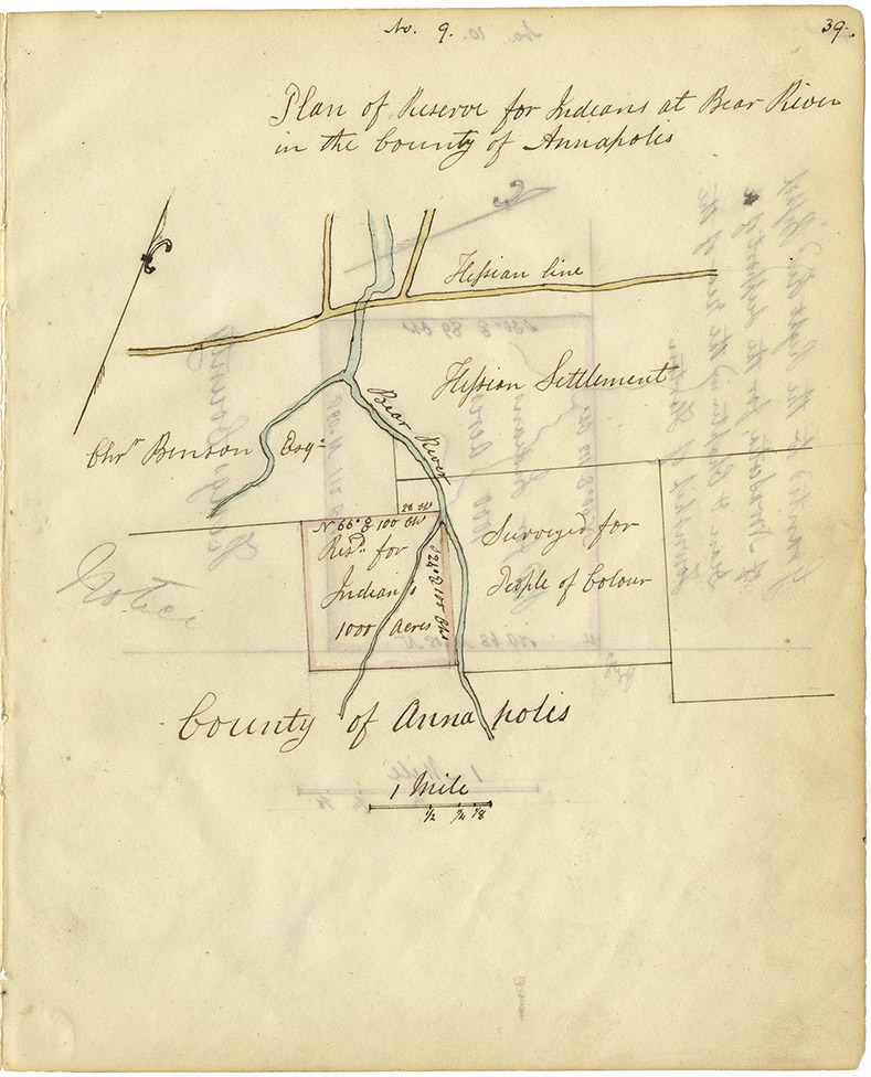
Mi'kmaq reservations in NS counties – Annapolis County
Date: 1842
Reference: Commissioner of Public Records — Indians series Nova Scotia Archives RG 1 Vol. 432 page 39
Click for more information on this chapter
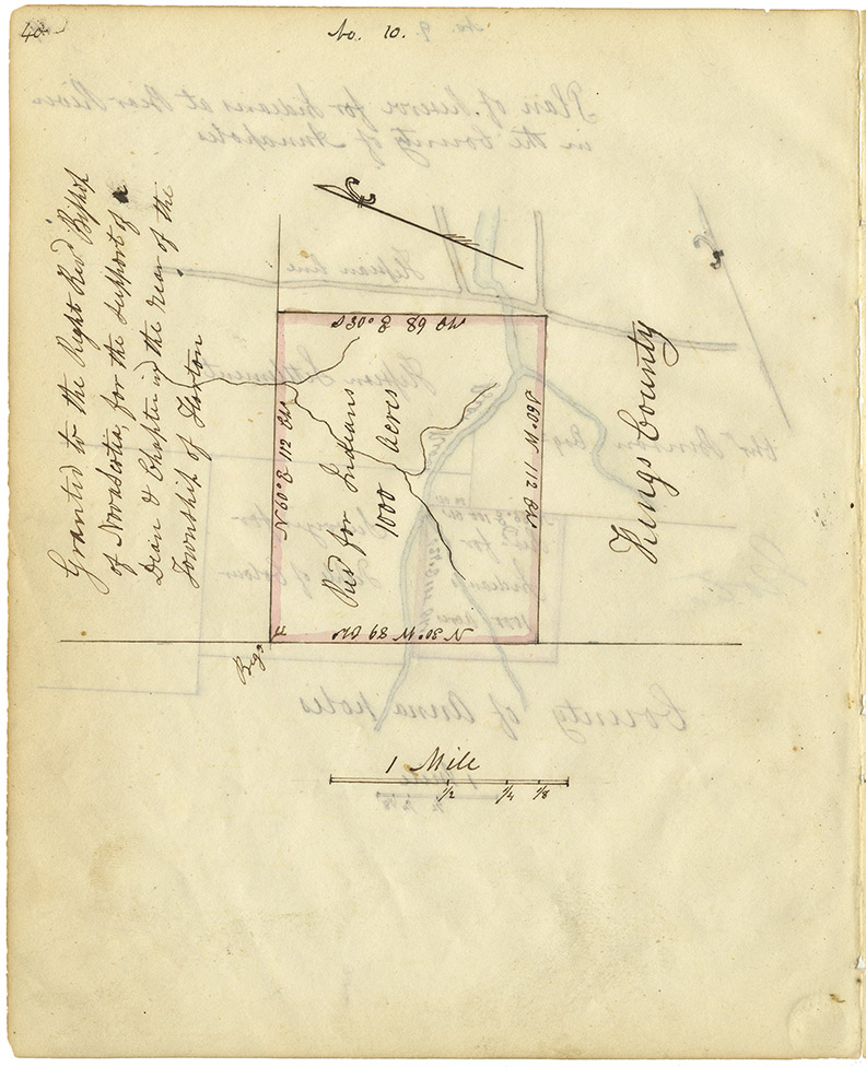
Mi'kmaq reservations in NS counties – Kings County
Date: 1842
Reference: Commissioner of Public Records — Indians series Nova Scotia Archives RG 1 Vol. 432 page 40
Click for more information on this chapter
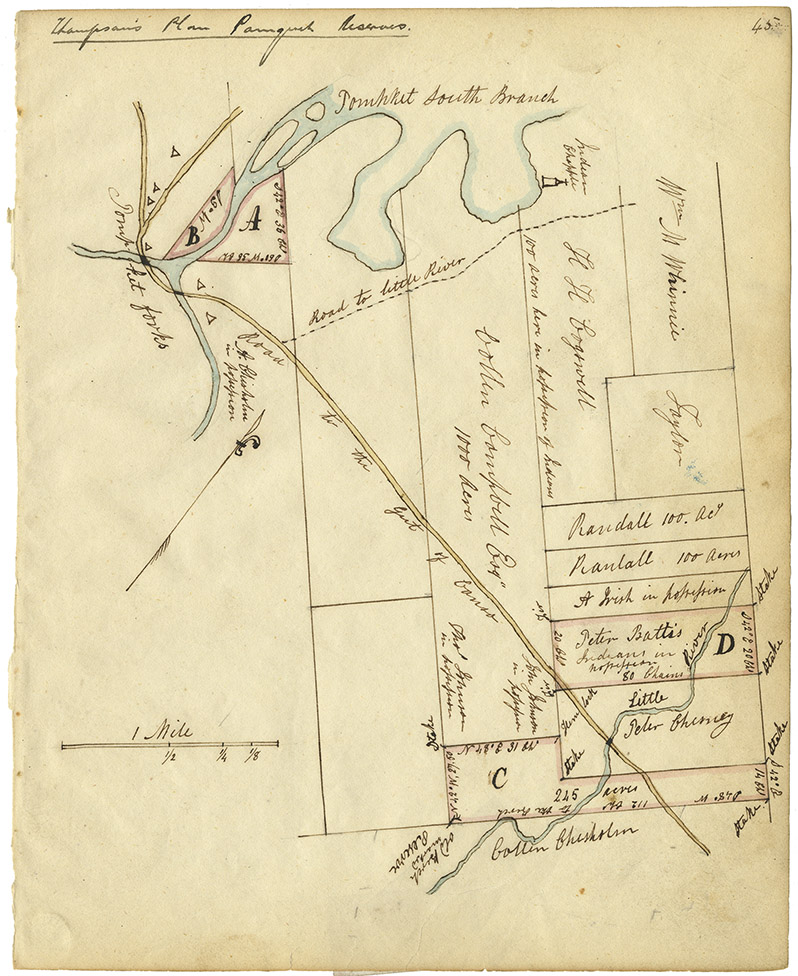
Mi'kmaq reservations in NS counties – Sydney County
Date: 1842
Reference: Commissioner of Public Records — Indians series Nova Scotia Archives RG 1 Vol. 432 page 45
Click for more information on this chapter
