Nova Scotia Archives
Historical Maps of Nova Scotia
Results 946 to 960 of 2074 from your search:
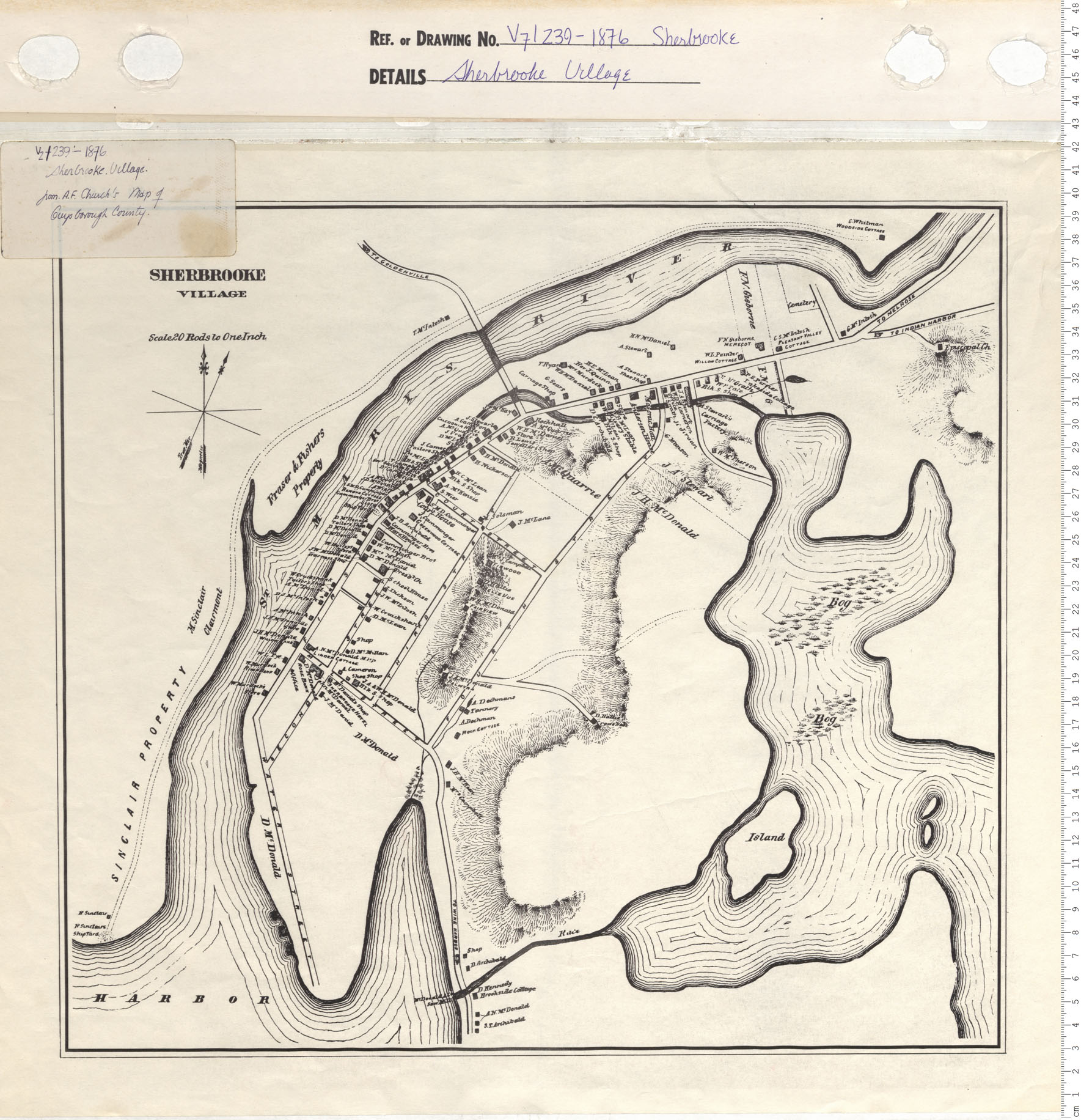
Sherbooke Village
Date: 1876
Reference: Nova Scotia Archives Map Collection: V7 239 Sherbrooke, Nova Scotia
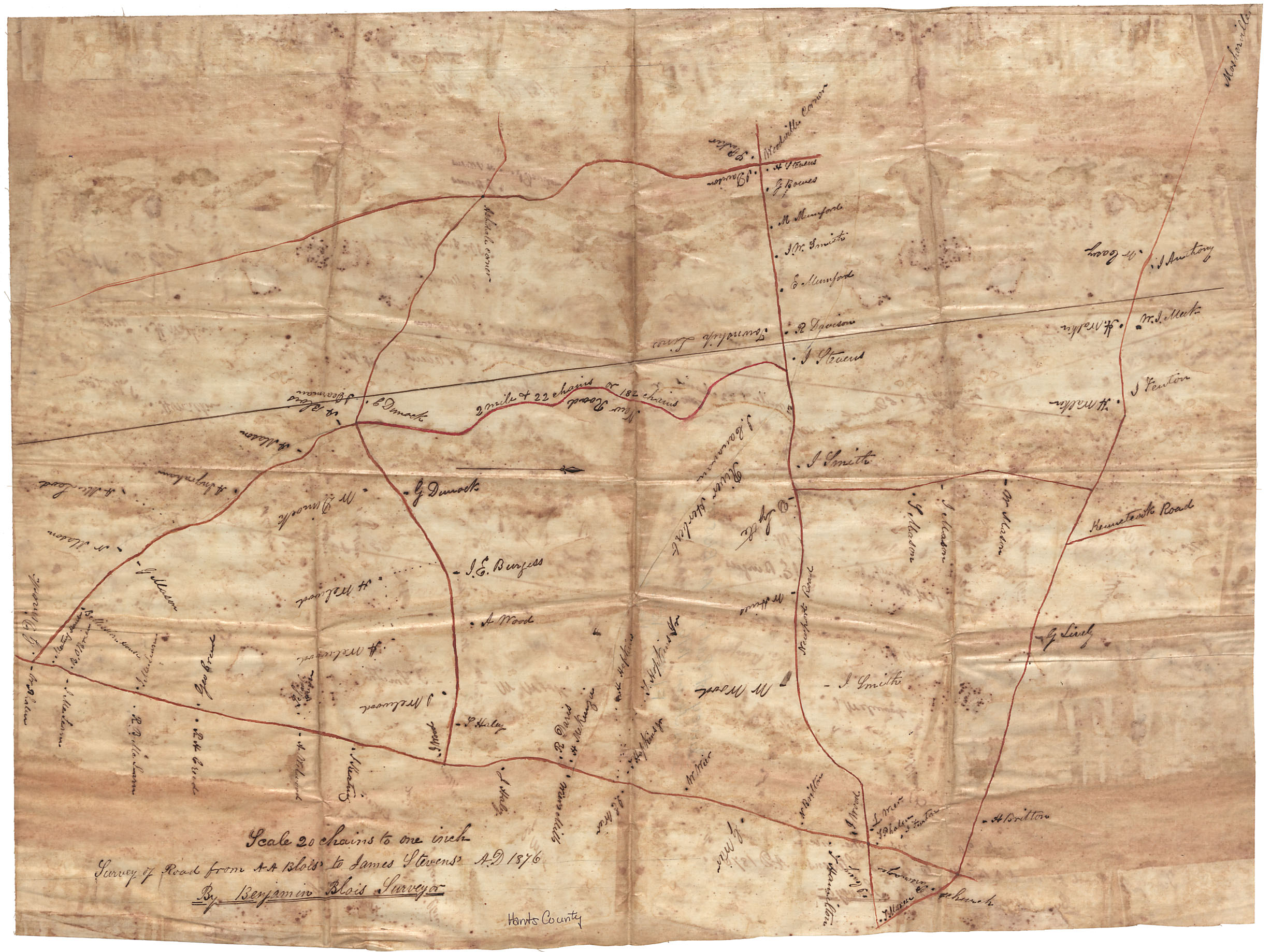
Survey of road from A.A. Blois to James Stevens
Date: 1876
Reference: Nova Scotia Archives Map Collection: F/209 - 1876
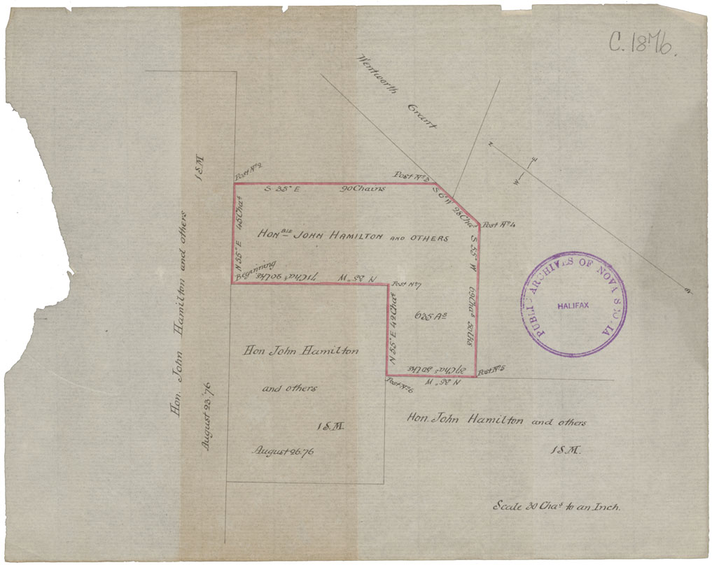
Coal leases of John Hamilton
Date: 26 August 1876
Reference: Nova Scotia Archives Map Collection: F/230 - 1876
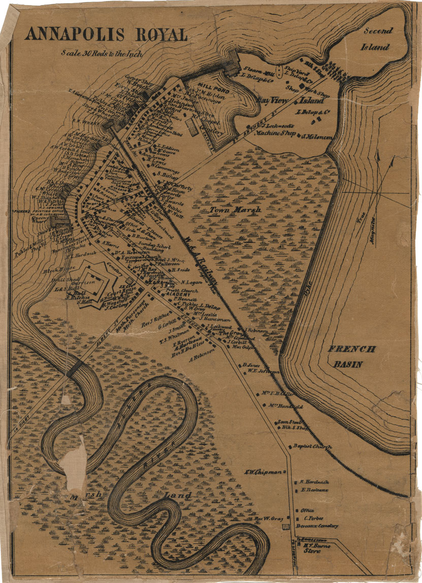
Annapolis Royal, Annapolis Co
Date: 1876
Reference: Nova Scotia Archives Map Collection: F/239 - 1876
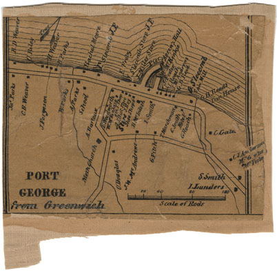
Port George, Annapolis County
Date: 1876
Reference: Nova Scotia Archives Map Collection: F/239 - 1876
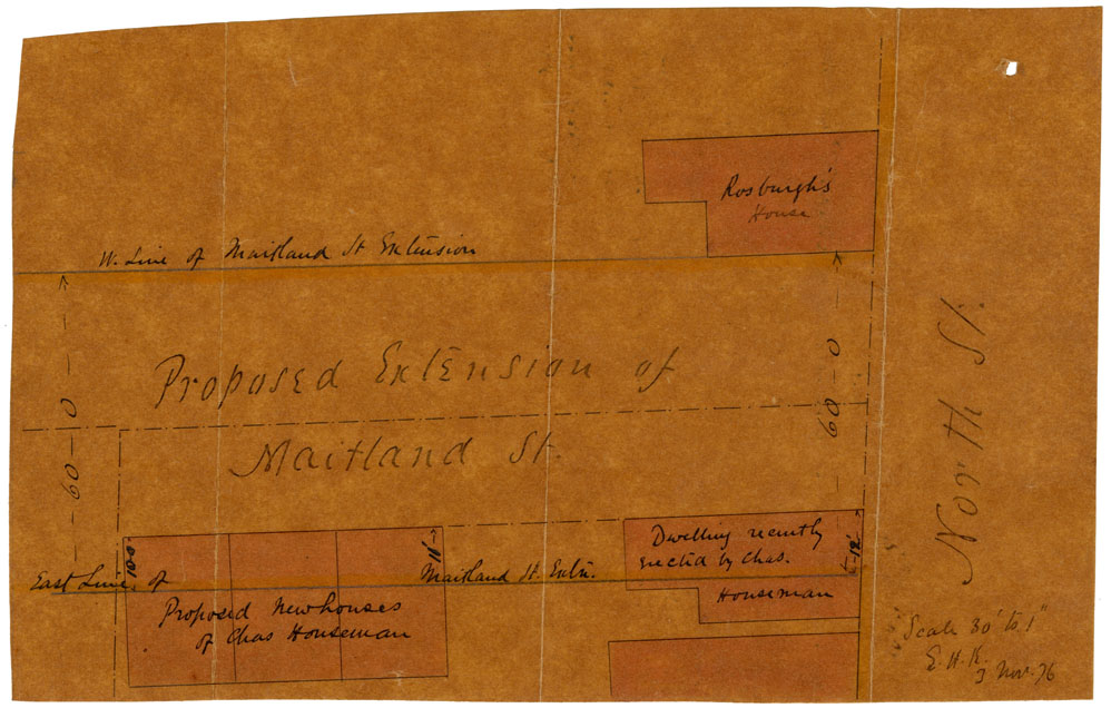
Proposed extension Maitland St., now Woods Ave. Halifax
Date: 3 November 1876
Reference: Nova Scotia Archives Map Collection: F/240 - 1876
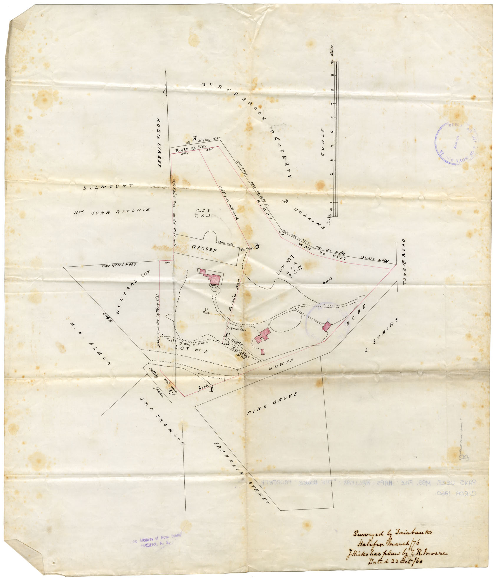
Maps: Halifax, circa 1860 "The Bower" Property
Date: March 1876
Reference: Nova Scotia Archives Map Collection: F/240 - 1876
Halifax County Hog Island & Little Hog Island, District of Salmon River, 1876
Date: 17 June 1876
Reference: Nova Scotia Archives Map Collection: F/240 - 1876
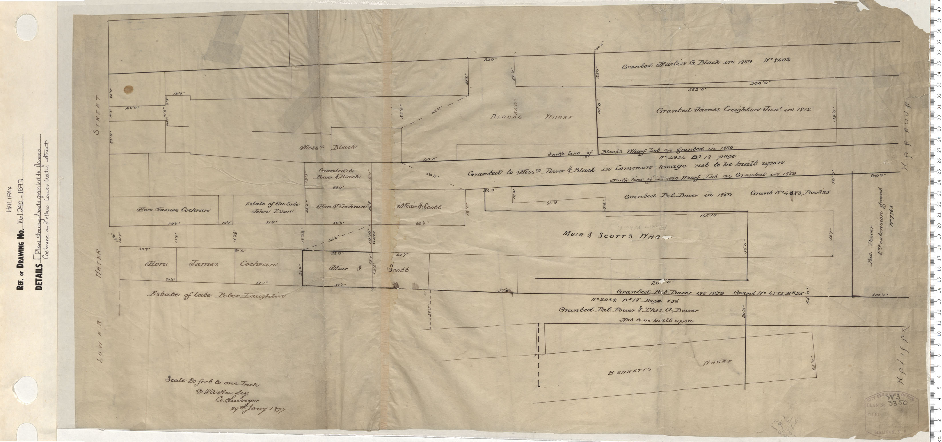
Plan showing lands granted to James Cocharne and others Lower Water Street
Date: 1877
Reference: Nova Scotia Archives Map Collection: V6 240 Halifax, Nova Scotia
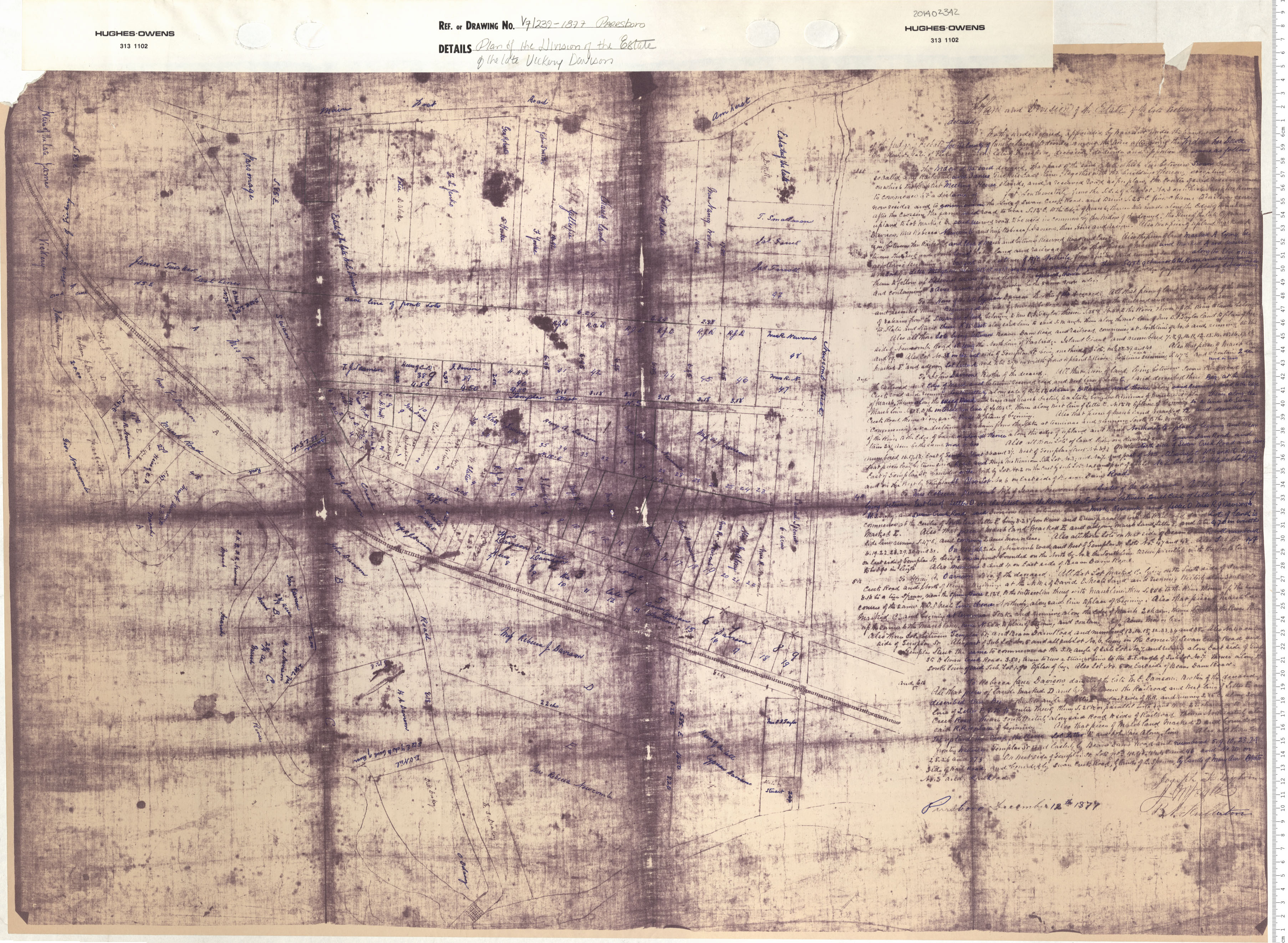
Plan of the Division of the Estate on the Late Vickery Davison
Date: 1877
Reference: Nova Scotia Archives Map Collection: V7 239 Parrsboro, Nova Scotia
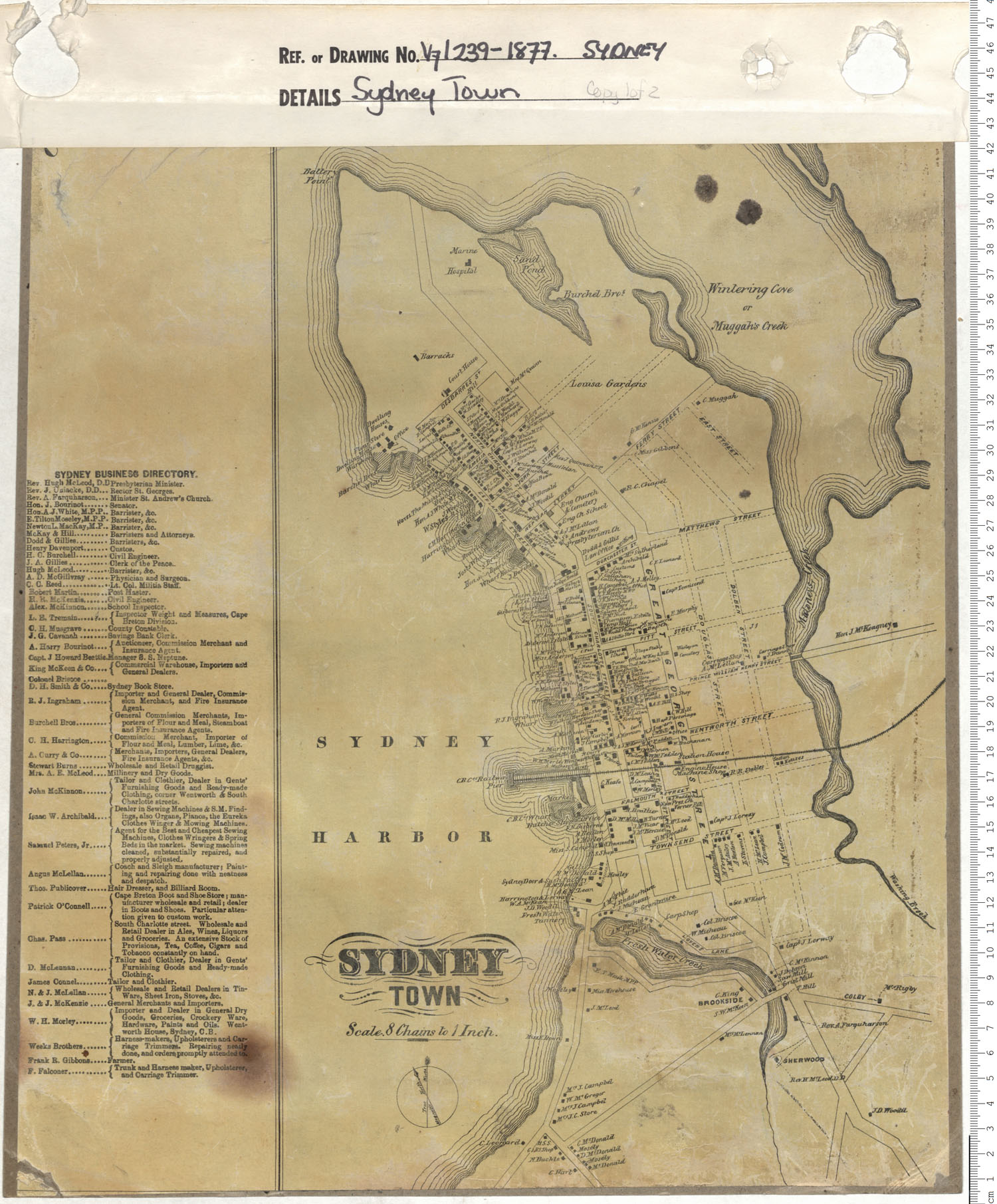
Sydney Township Inset from A.F. Church's Township Maps of Cape Breton County
Date: 1877
Reference: Nova Scotia Archives Map Collection: V7 239 Sydney, Nova Scotia
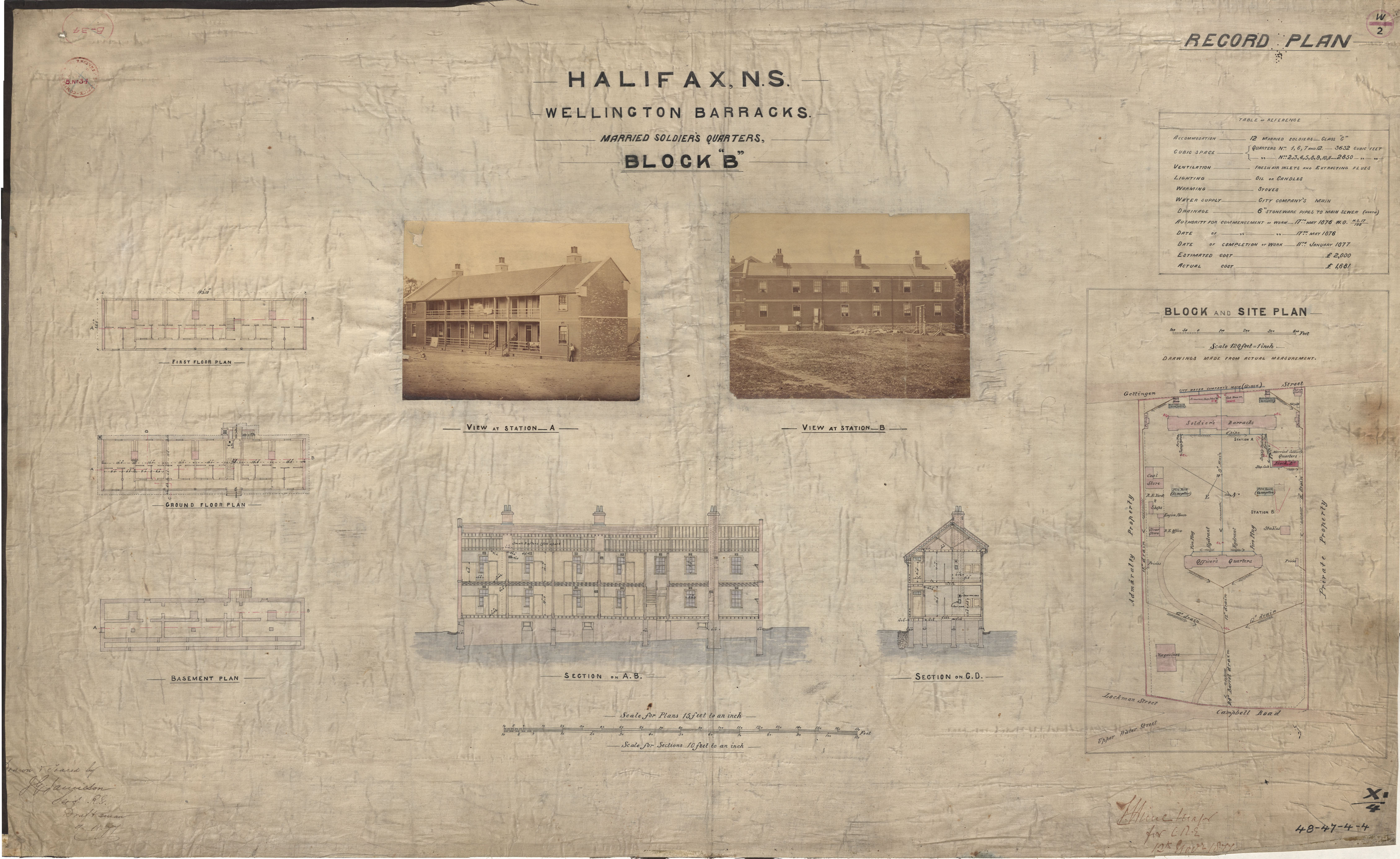
Wellington Barracks- Married Soldiers Quarters
Date: 9 November 1877
Reference: Nova Scotia Archives Royal Engineers Maps and Plans 48 - 47 - 4 - 4
