Nova Scotia Archives
Historical Maps of Nova Scotia
Results 871 to 885 of 2074 from your search:
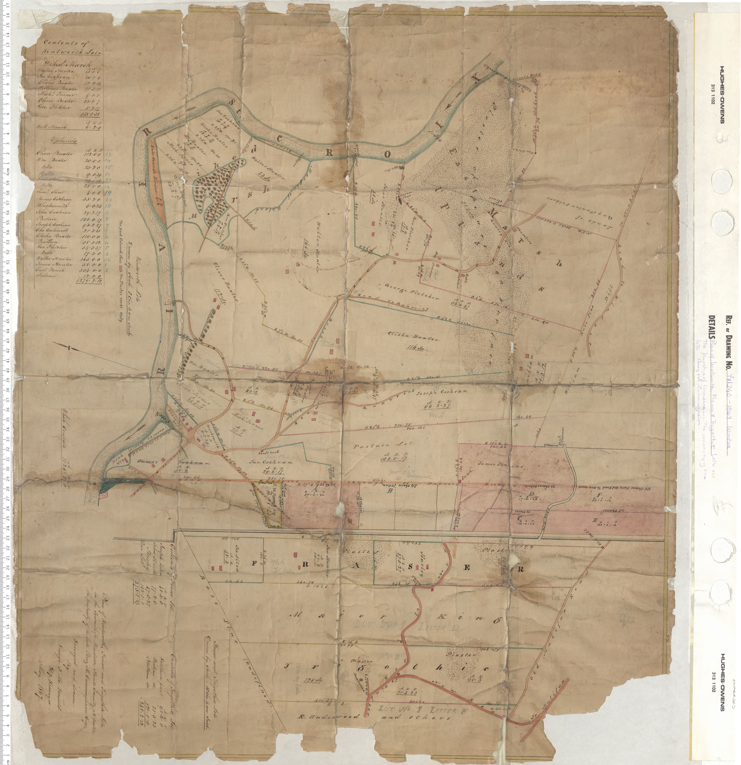
Plan of Wentworth, Fraiser and Trigothic Lots in the township of Windsor…The property of the late Perez M. Cunningham
Date: 1867
Reference: Nova Scotia Archives Map Collection: V7 240 Windsor, Nova Scotia
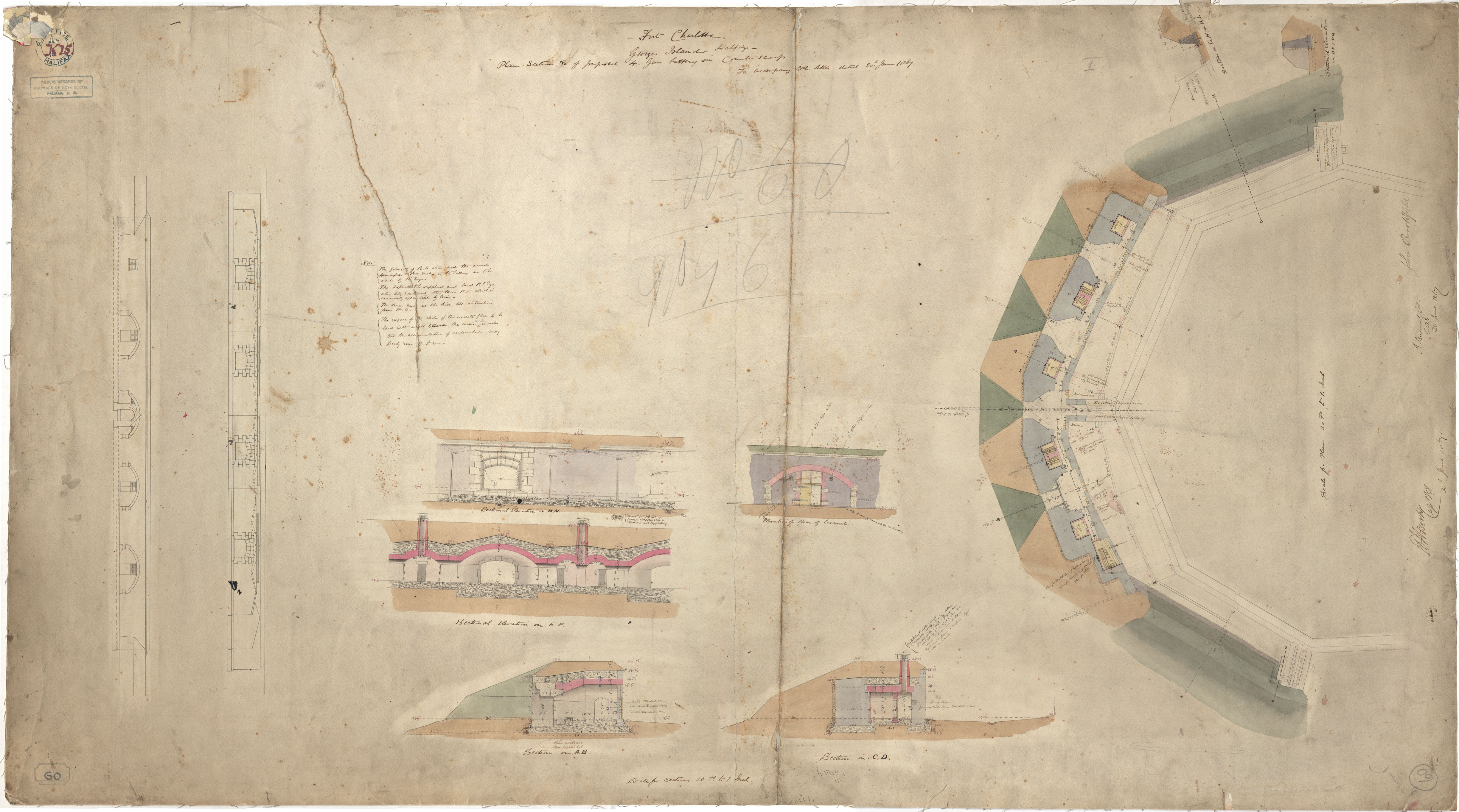
Fort Charlotte - Proposed 4. Gun Battery
Date: 20 June 1867
Reference: Nova Scotia Archives Royal Engineers Maps and Plans K.15
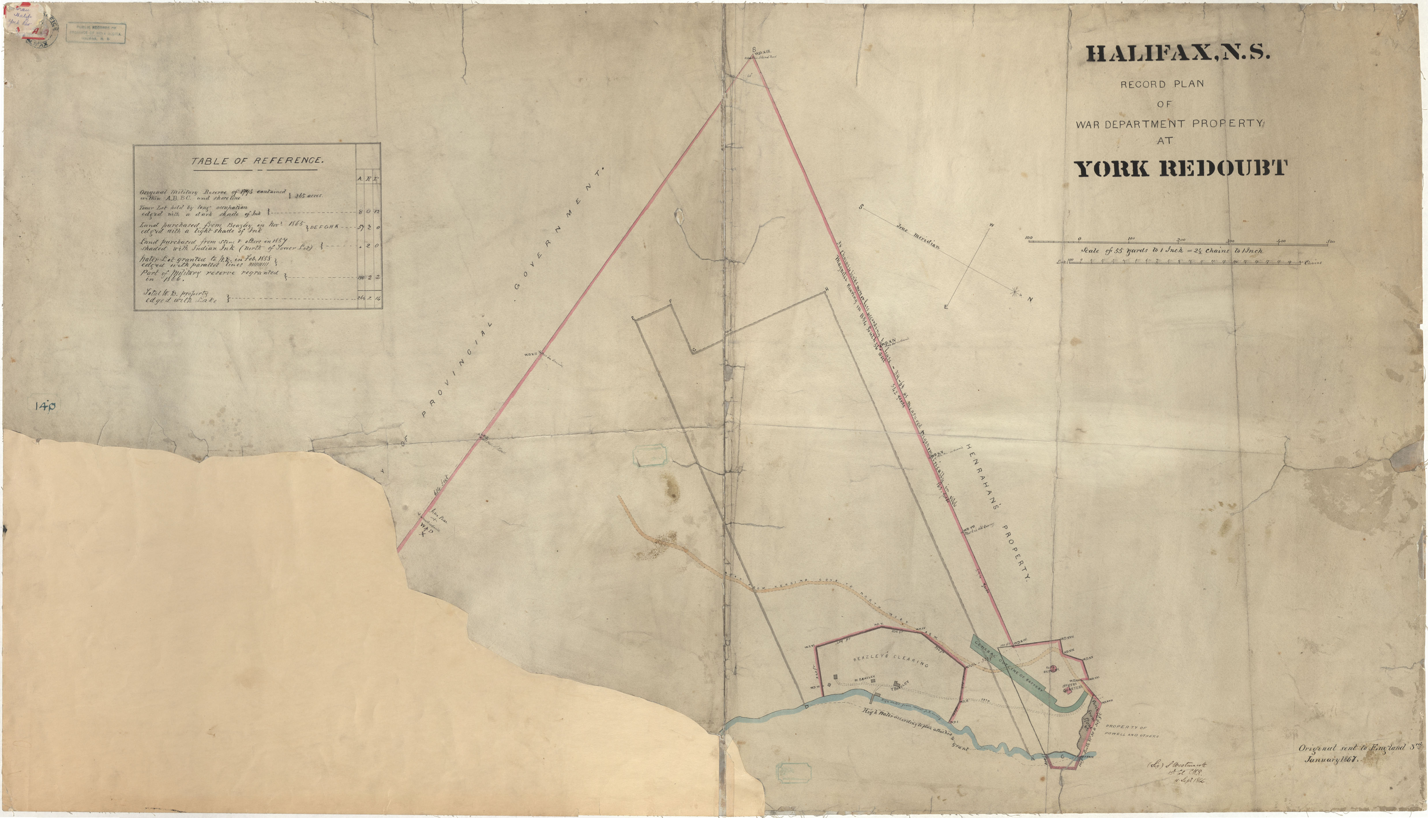
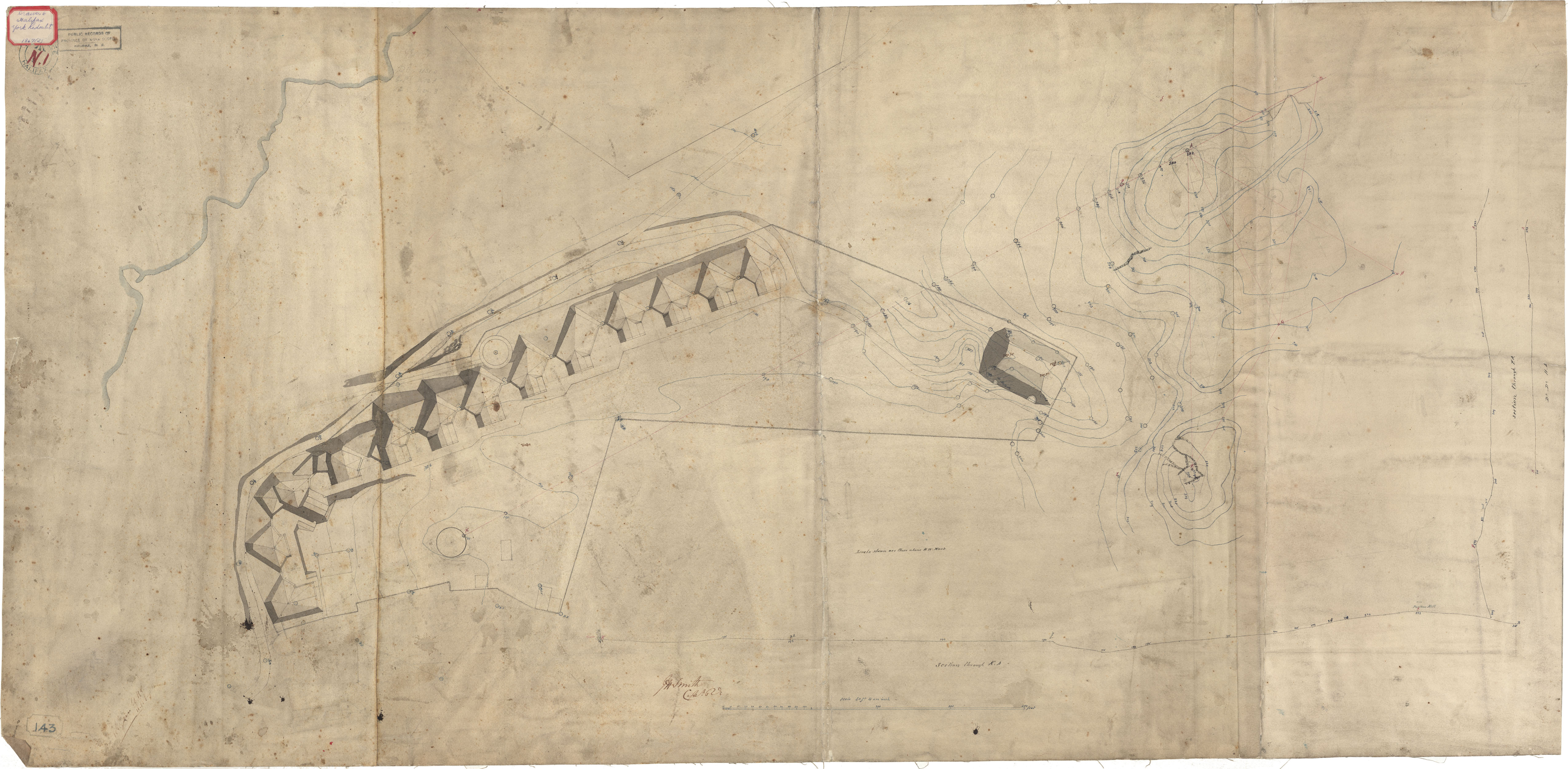
York Redoubt
Date: 18 December 1867
Reference: Nova Scotia Archives Royal Engineers Maps and Plans N.01
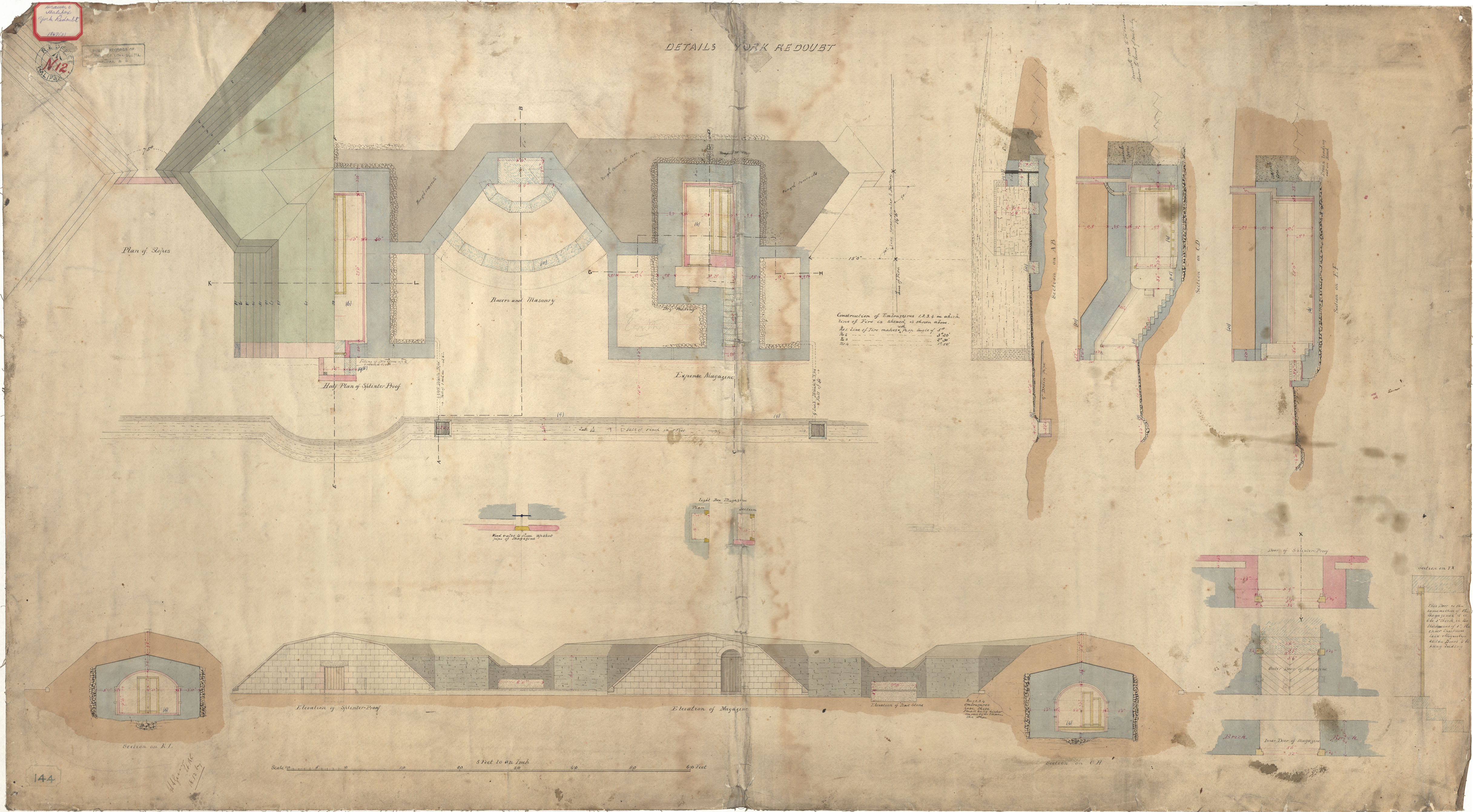
York Redoubt
Date: 18 December 1867
Reference: Nova Scotia Archives Royal Engineers Maps and Plans N.12
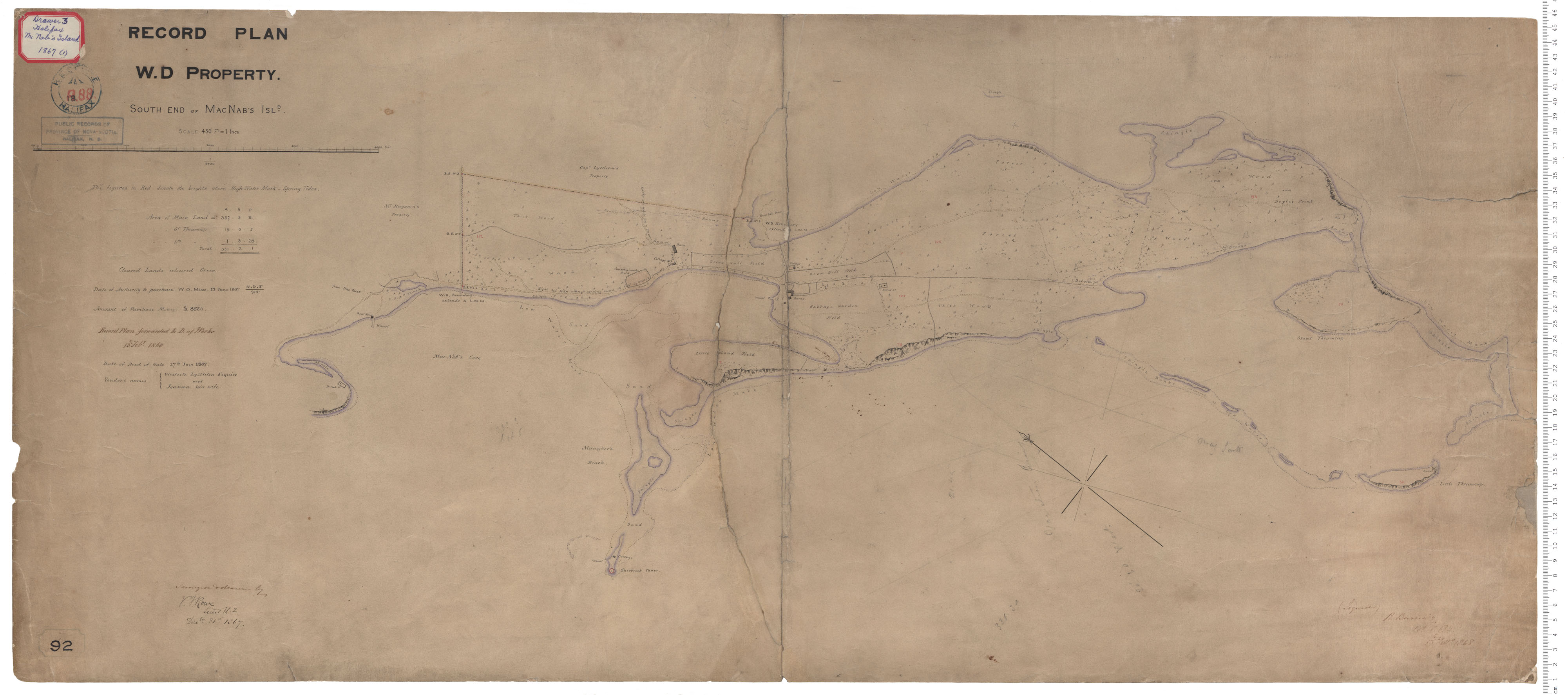
McNab's Island - Southend
Date: 31 December 1867
Reference: Nova Scotia Archives Royal Engineers Maps and Plans A.88
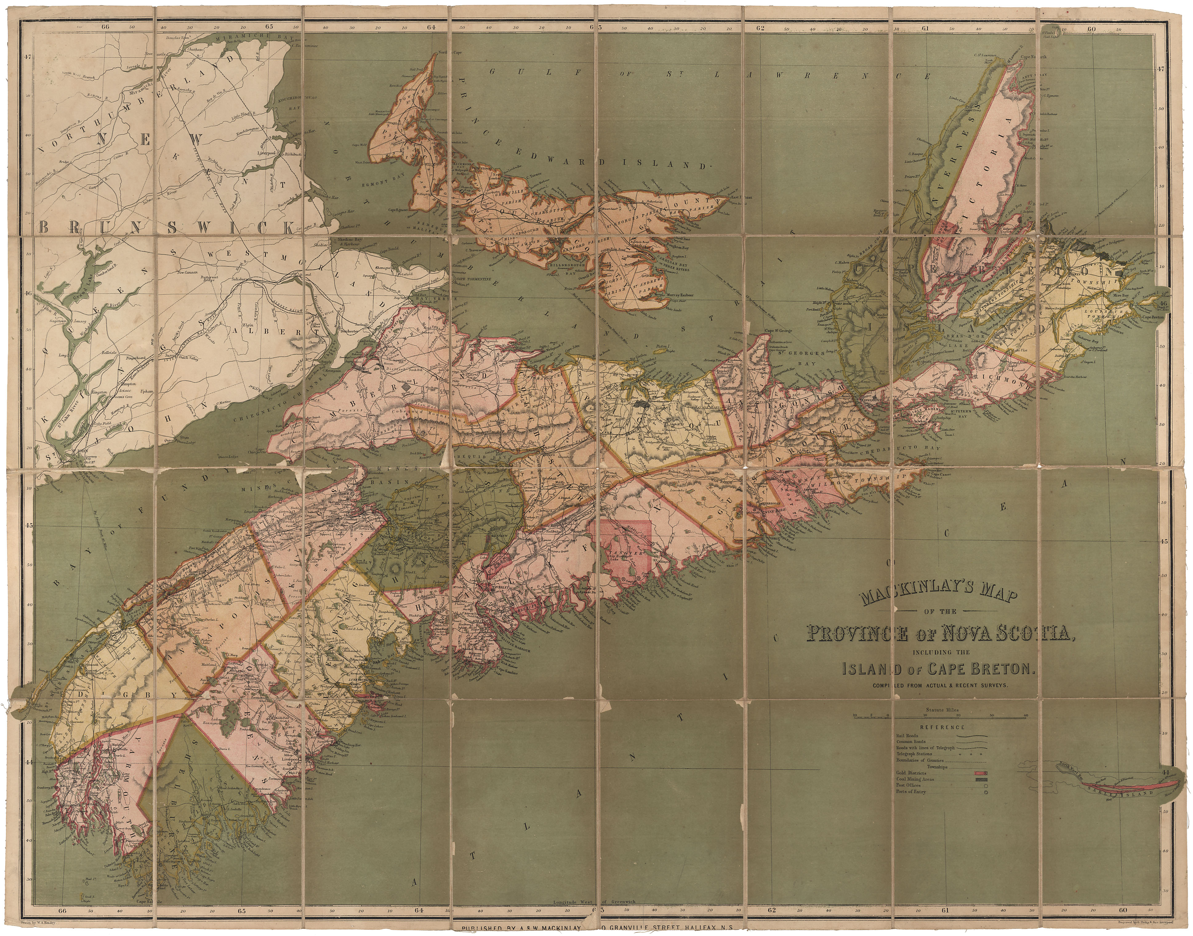
MacKinlay's Map of Nova Scotia
Date: 1867
Reference: Nova Scotia Archives Map Collection: F/202 - 1867
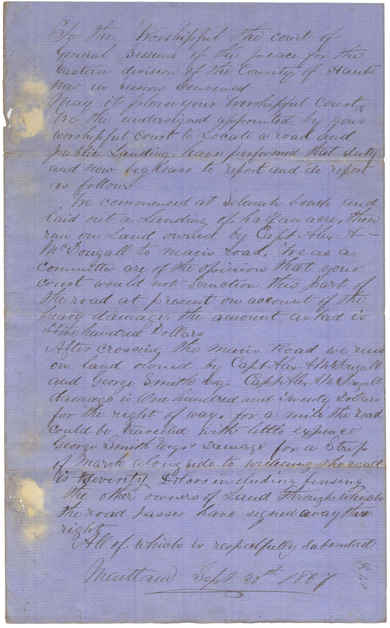
Plan of Road Selmah Beach to main Road
Date: 1867
Reference: Nova Scotia Archives Map Collection: F/209 - 1867
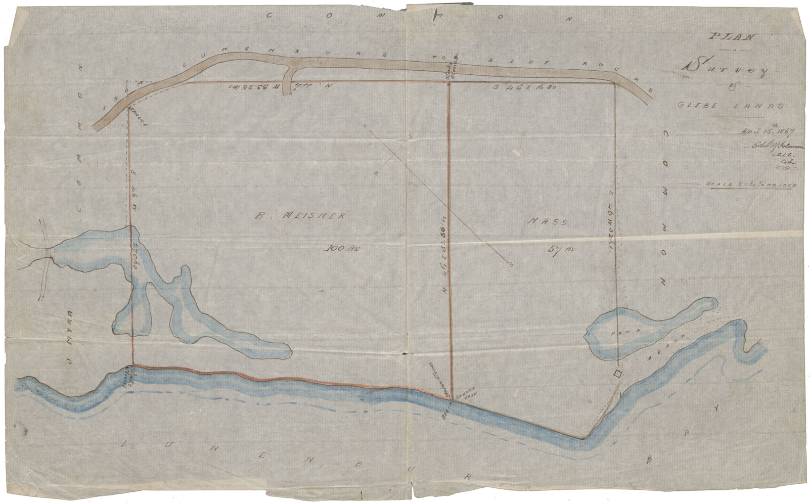
Glebe Lands on Roads from Lunenburg to Blue Rocks A Survey of Glebe Lands
Date: 15 April 1867
Reference: Nova Scotia Archives Map Collection: F/230 - 1867
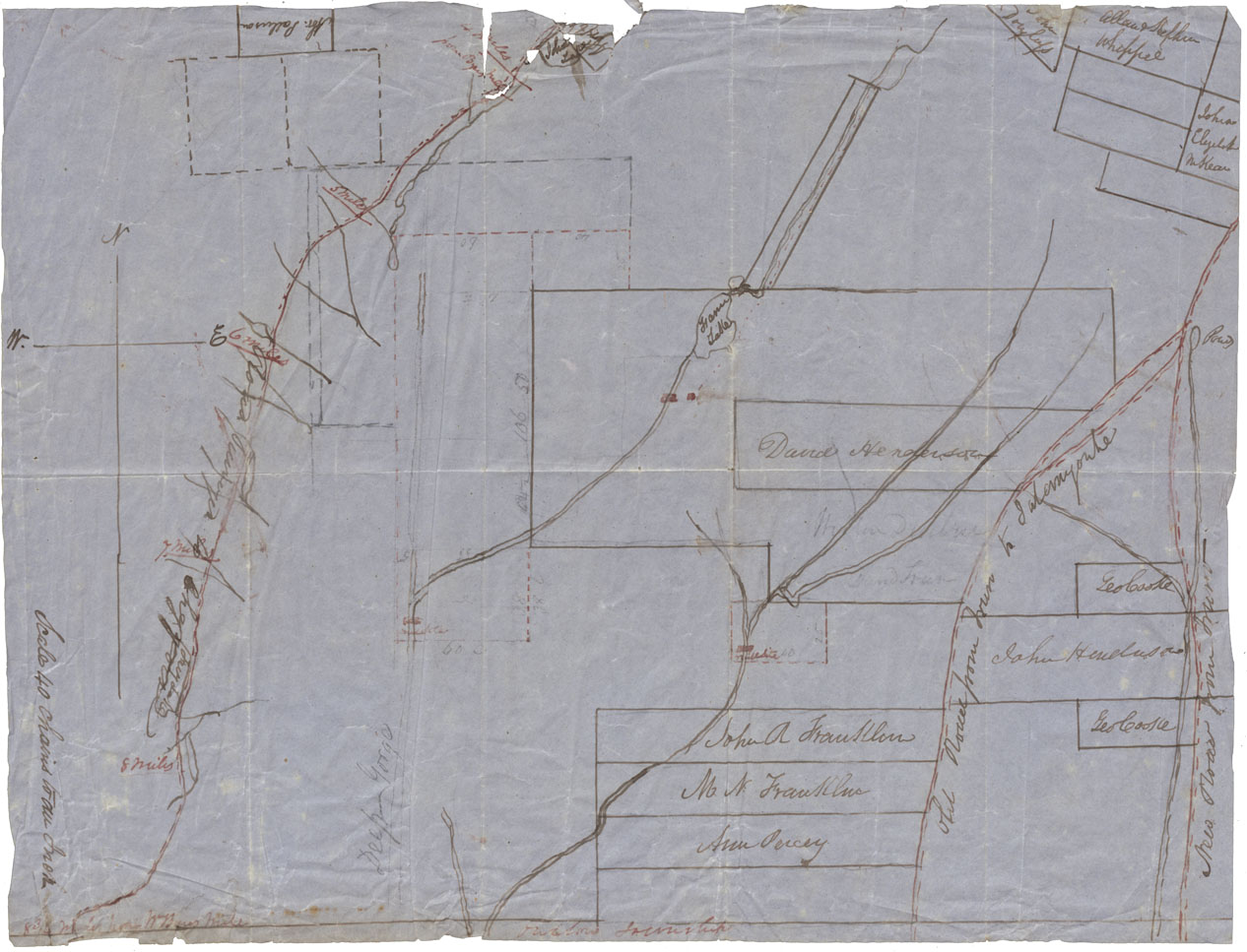
Plan of Land between Folly Lake and the Old Cobequid Road
Date: 1867
Reference: Nova Scotia Archives Map Collection: F/230 - 1867
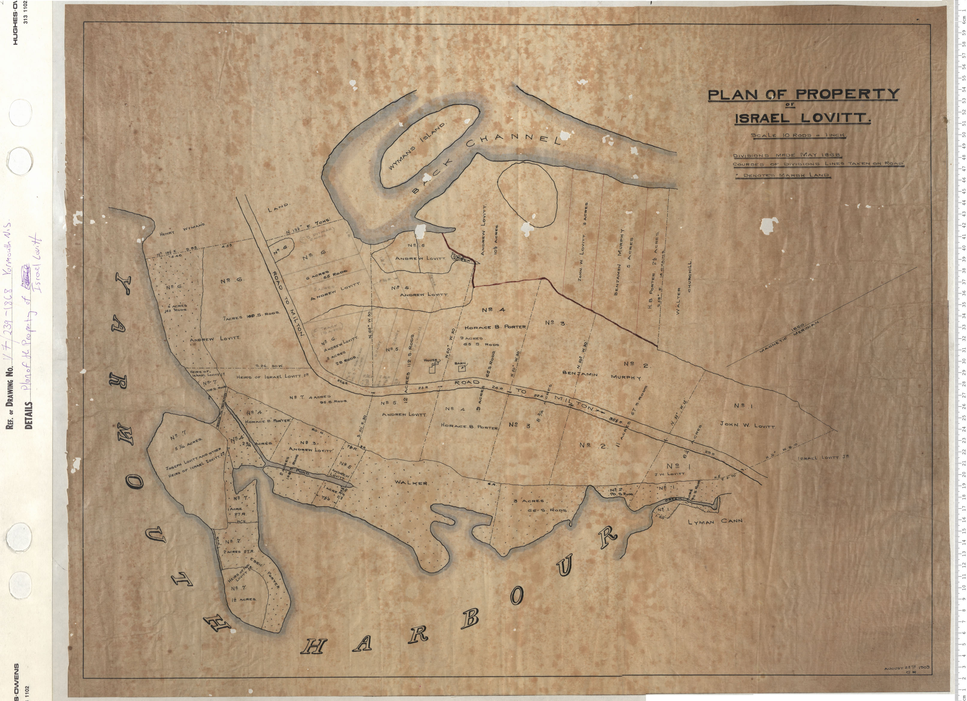
Plan of property of Israel Lovitt
Date: 1868
Reference: Nova Scotia Archives Map Collection: V7 239 Yarmouth, Nova Scotia
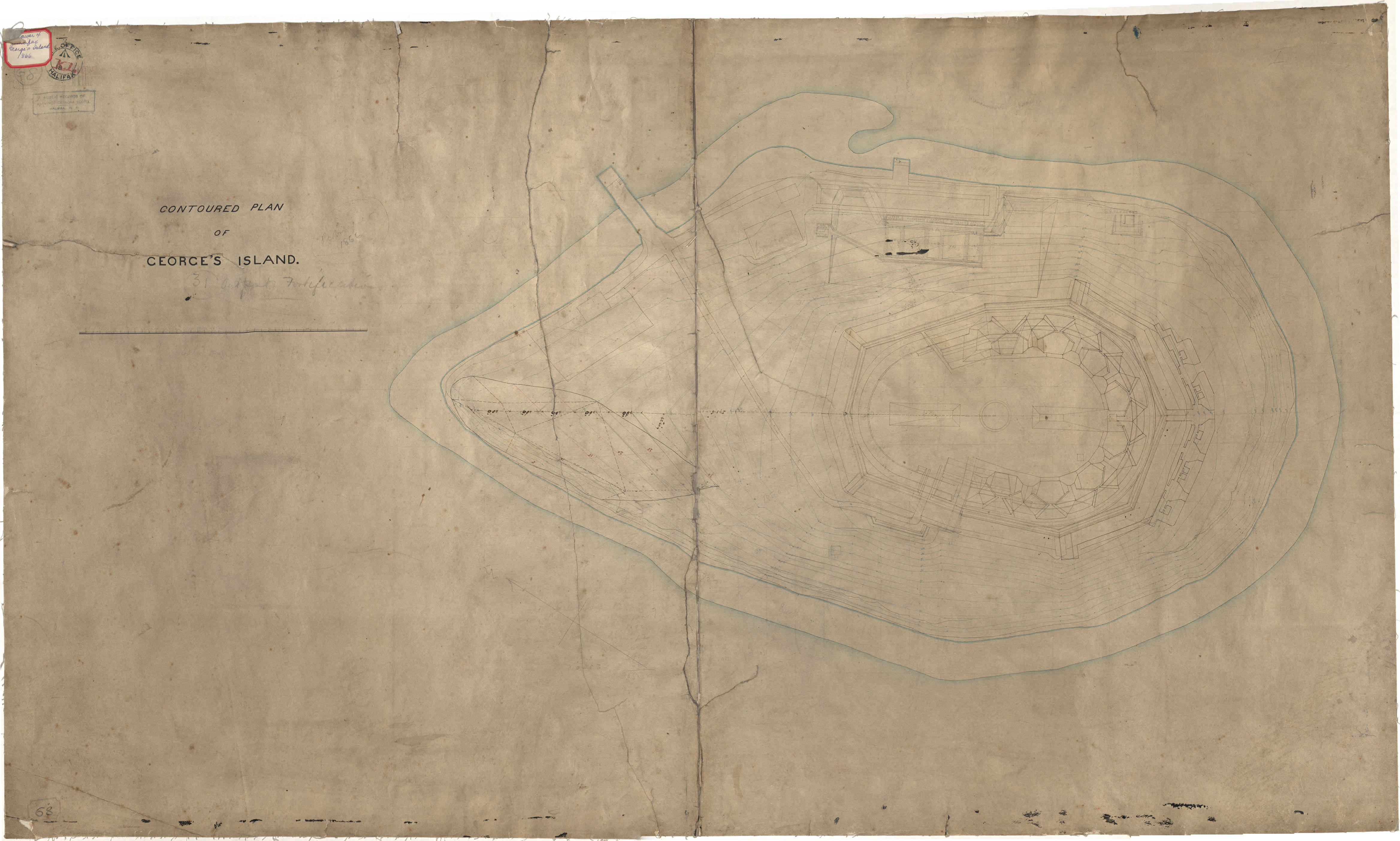
George's Island, Contoured Plan
Date:
Reference: Nova Scotia Archives Royal Engineers Maps and Plans K.01
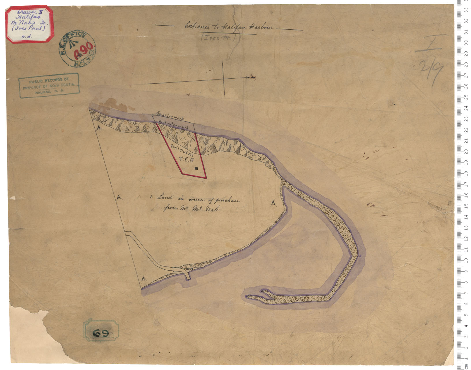
Ives Point, McNab's Island
Date:
Reference: Nova Scotia Archives Royal Engineers Maps and Plans A.90
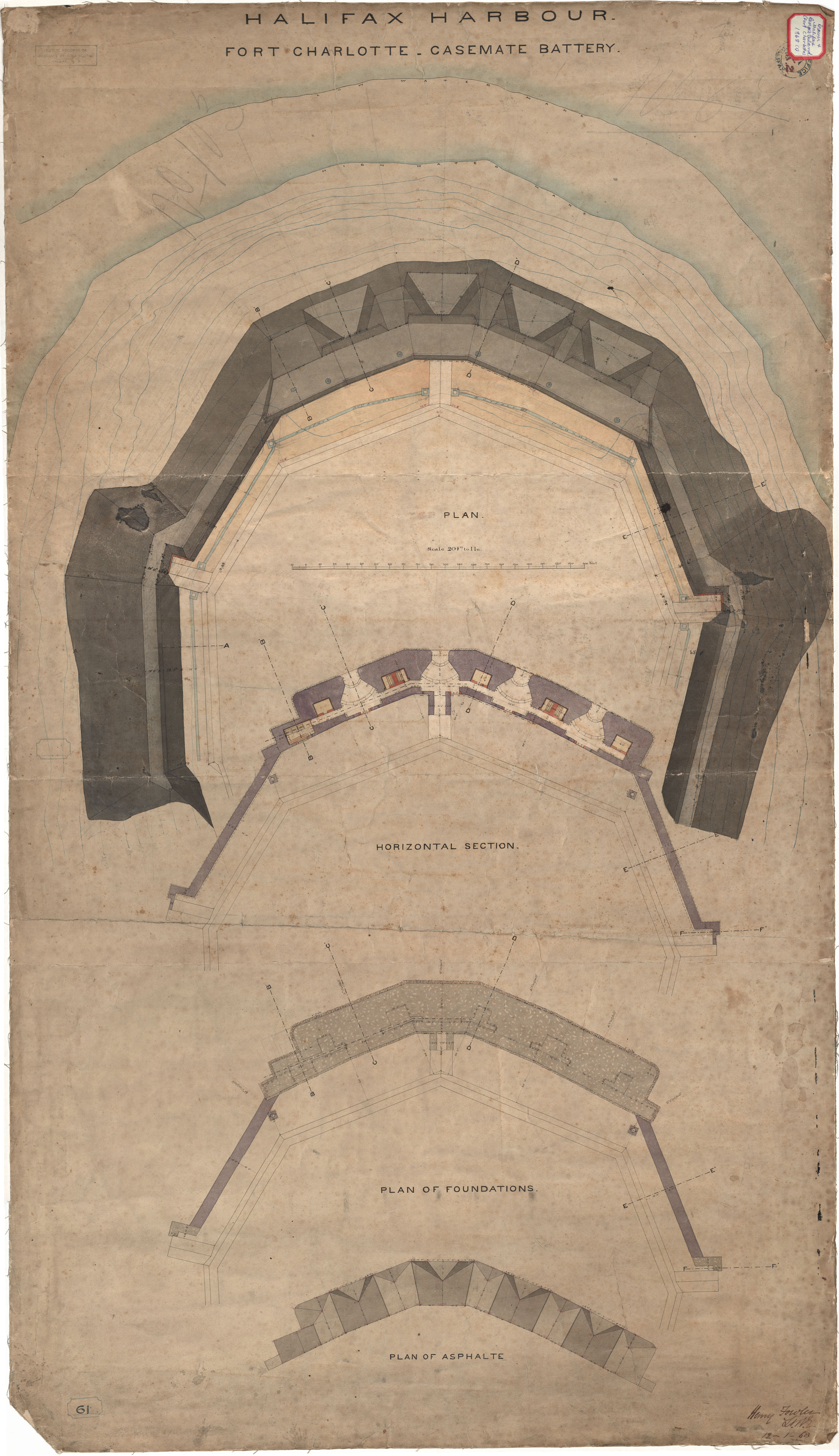
Fort Charlotte - Casement Battery
Date: 12 January 1868
Reference: Nova Scotia Archives Royal Engineers Maps and Plans K.02
