Nova Scotia Archives
Historical Maps of Nova Scotia
Results 286 to 300 of 2074 from your search:
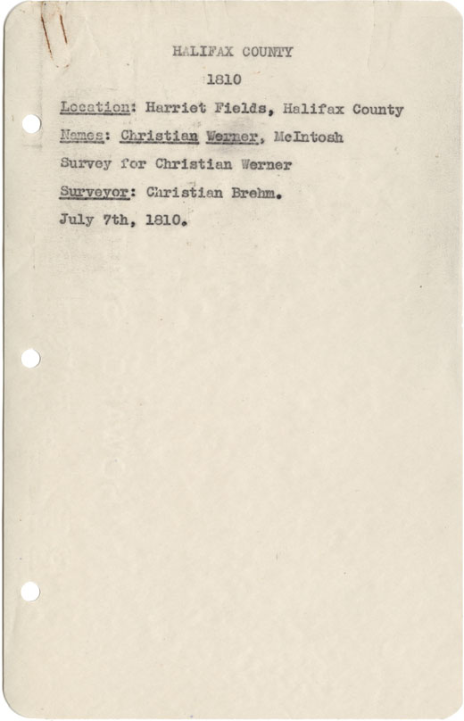
Halifax County Harriets Field
Date: 7 July 1810
Reference: Nova Scotia Archives Map Collection: F/239 - 1810
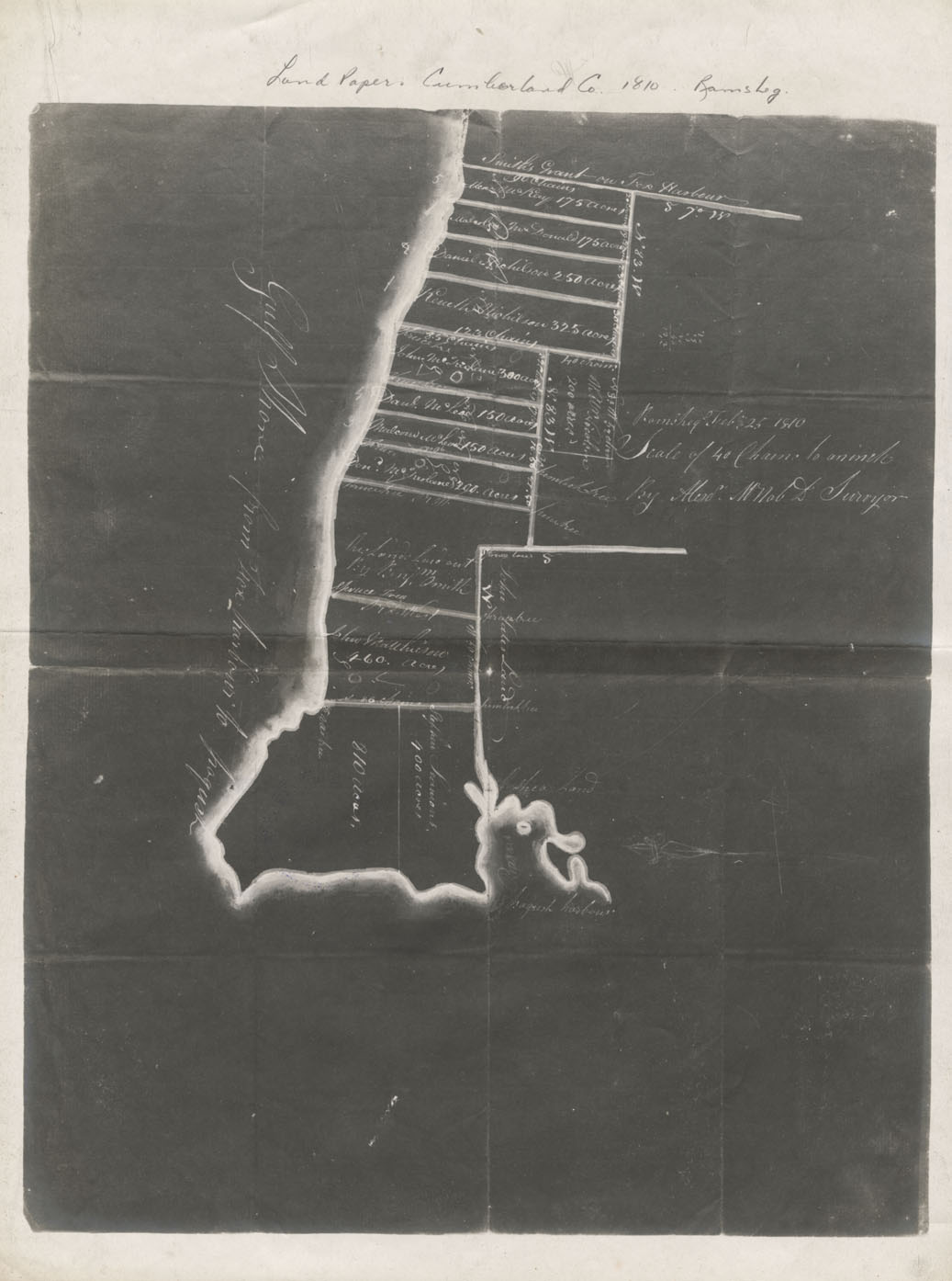
Land Papers: Cumberland County Ramsheg
Date: 10 February 1810
Reference: Nova Scotia Archives Map Collection: F/239 - 1810
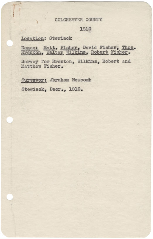
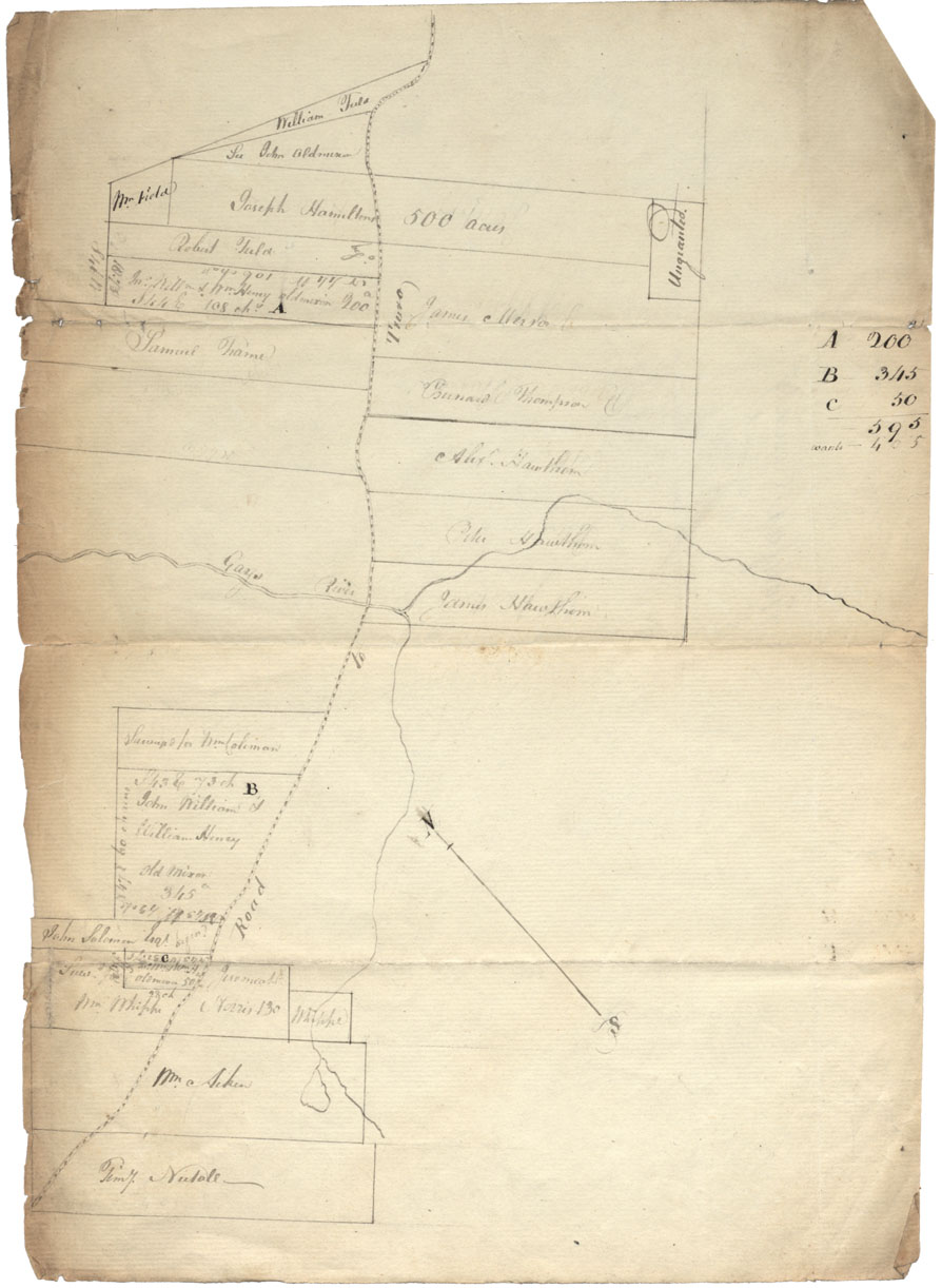
Colchester County Stewiacke, 1810
Date: December 1810
Reference: Nova Scotia Archives Map Collection: F/239 - 1810
Rawdon Township, Hants County
Date: 1811
Reference: Nova Scotia Archives Map Collection: V7 230 Rawdon Township, Nova Scotia
Halifax county Gays River and "Road to Truro" w.m.1811
Date: 1811
Reference: Nova Scotia Archives Map Collection: F/210 - 1811
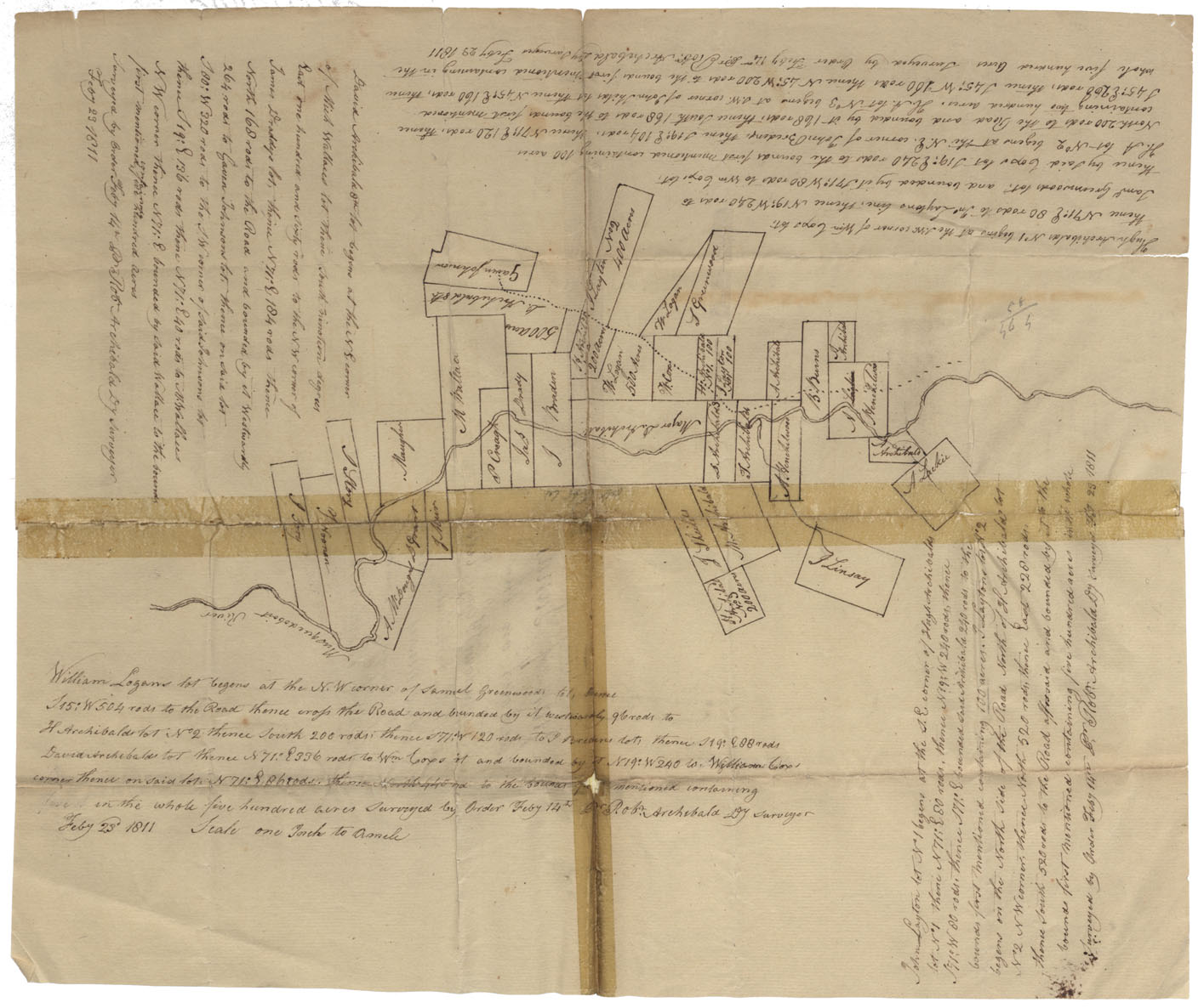
Halifax County Musquodoboit river 1811
Date: 23 February 1811
Reference: Nova Scotia Archives Map Collection: F/210 - 1811
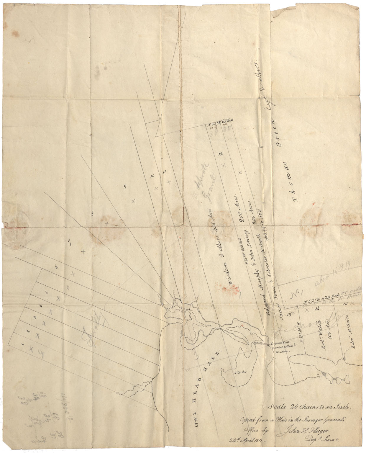
Halifax County Owl Head Harbour 1811
Date: 1811
Reference: Nova Scotia Archives Map Collection: F/210 - 1811
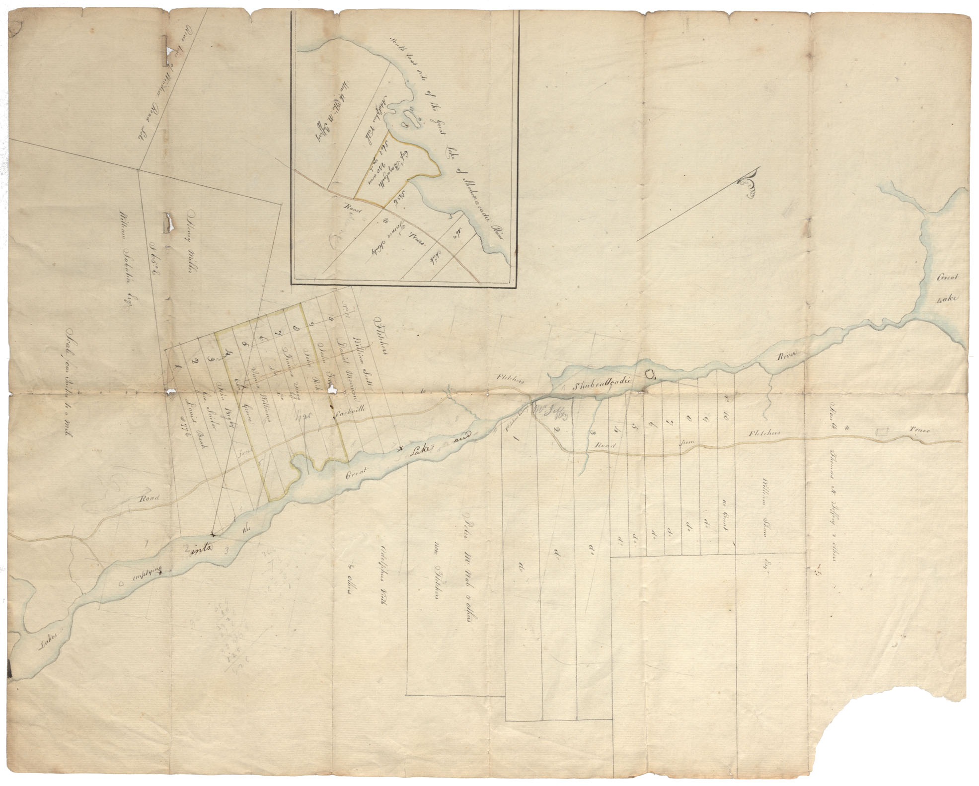
Halifax County Lakes emptying into the Great Lakes and Shubenacadie River; Southeast side of the Great Lake of Shubenacadie River wm1811
Date: 1811
Reference: Nova Scotia Archives Map Collection: F/210 - 1811
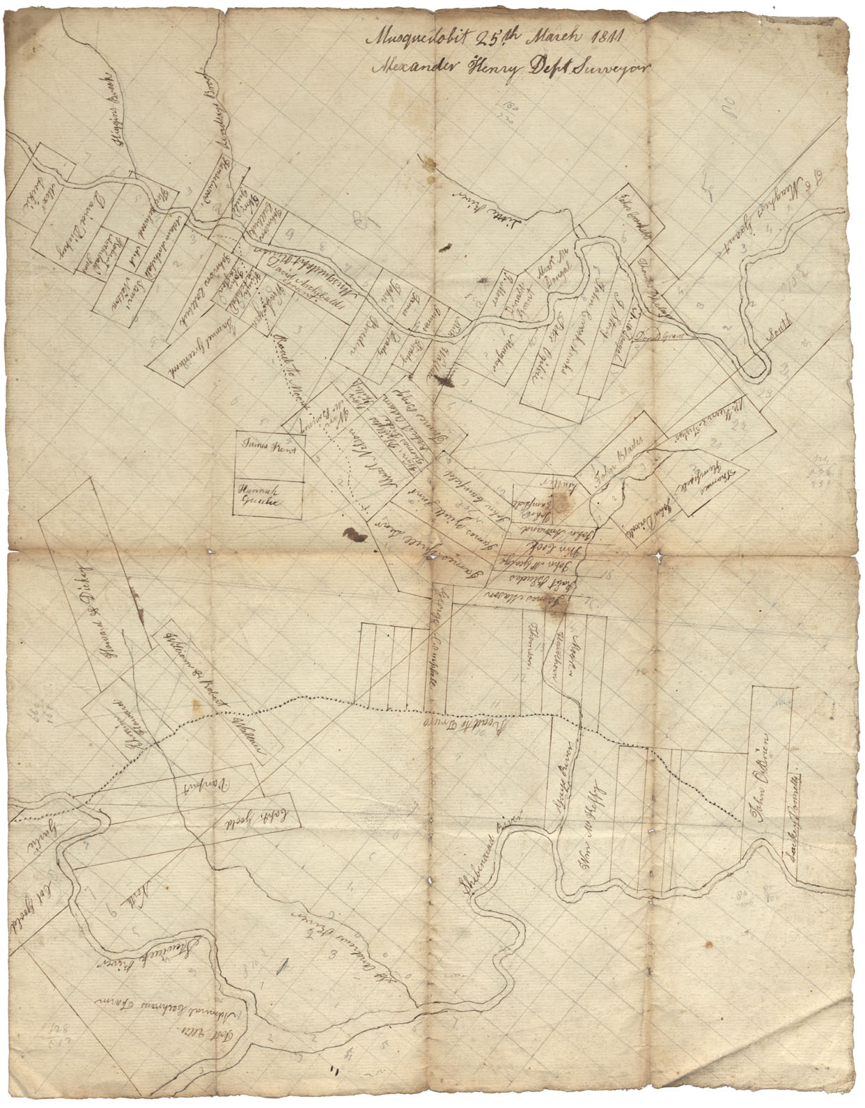
Halifax County Lands on the Shubenacadie River, Stewiacke River, St. Andrew's River, Giap River & Musquodoboit River
Date: 25 March 1811
Reference: Nova Scotia Archives Map Collection: F/210 - 1811
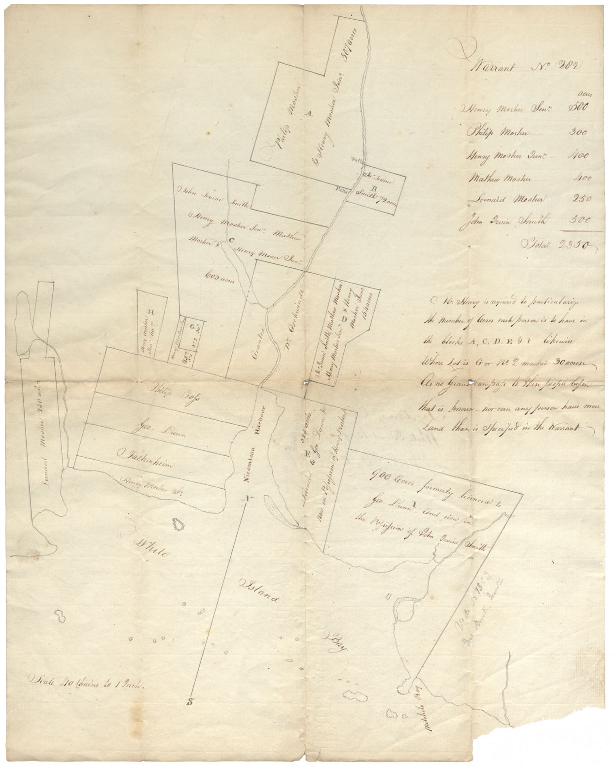
Halifax County White Island Bay w.m.1811
Date: 1811
Reference: Nova Scotia Archives Map Collection: F/210 - 1811
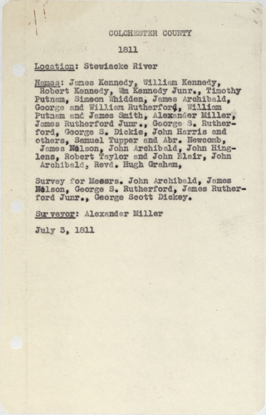
Colchester County Stewiacke River 1811
Date: 3 July 1811
Reference: Nova Scotia Archives Map Collection: F/230 - 1811
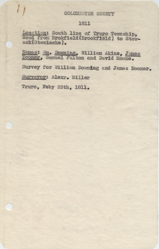
Colchester County South line of Truro Township, Road from Brokfield to stewiacke 1811
Date: 25 February 1811
Reference: Nova Scotia Archives Map Collection: F/230 - 1811
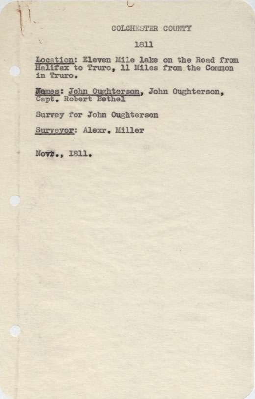
Colchester County Eleven Mile Lake on the Road from halifax to Truro, 11 miles from the Common in Truro. 1811
Date: November 1811
Reference: Nova Scotia Archives Map Collection: F/230 - 1811
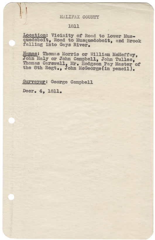
Halifax County Vicinity of Road to Lower Musquodoboit, Road to Musquodoboit, and Brook falling into Gay's River 1811
Date: 4 December 1811
Reference: Nova Scotia Archives Map Collection: F/230 - 1811
Halifax County East side of Ship harbour w.m.1811
Date: 1811
Reference: Nova Scotia Archives Map Collection: F/230 - 1811
