Nova Scotia Archives
Historical Maps of Nova Scotia
Results 256 to 270 of 2074 from your search:
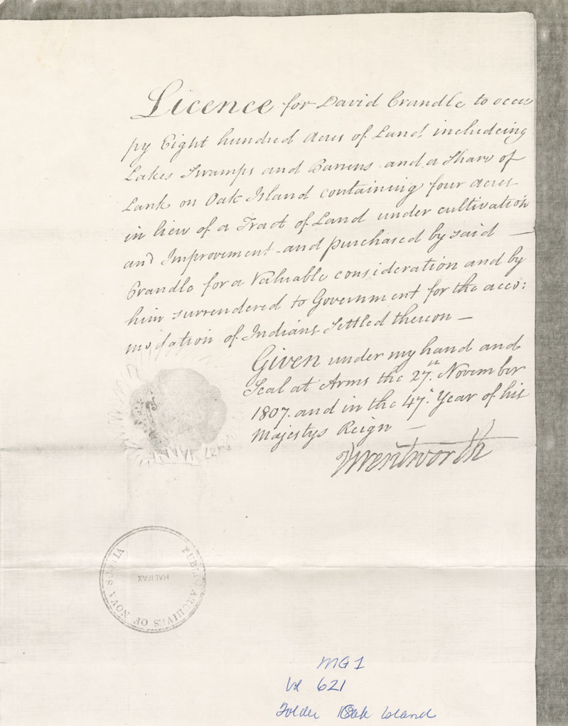
Oak Island Land for David W Crandel
Date: 27 November 1807
Reference: Nova Scotia Archives Map Collection: F/240 - 1807
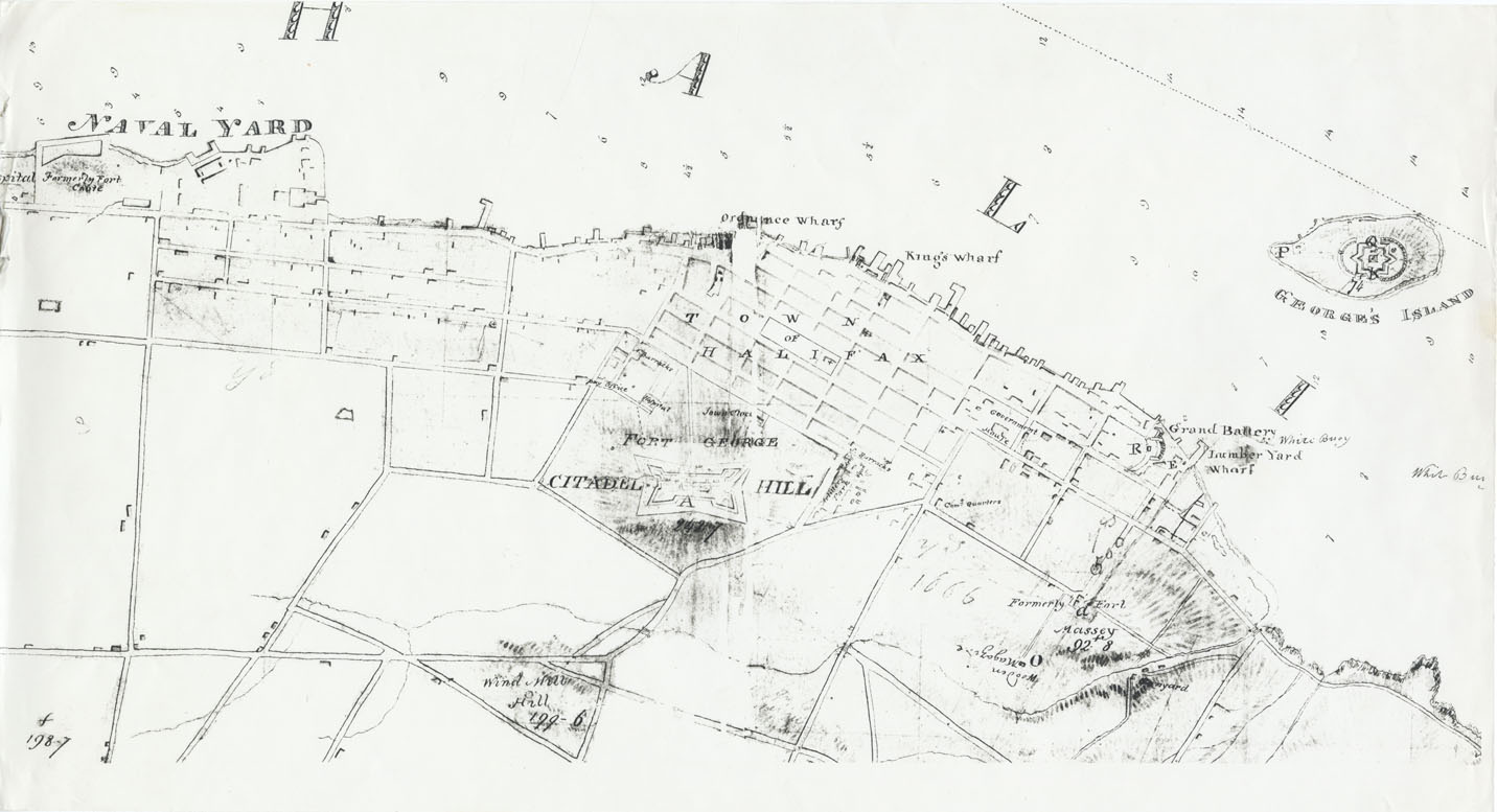
Peninsula and harbour of Halifax
Date: 1808
Reference: Nova Scotia Archives Royal Engineers Maps and Plans Y.26
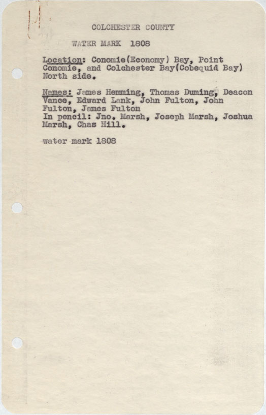
Colchester County Economy Bay, Point Economie and Colchester bay (Cobequid Bay) north side w.m.1808
Date: 1808
Reference: Nova Scotia Archives Map Collection: F/230 - 1808
The plan at the French lots separate from the Yarmouth People
Date: 1808
Reference: Nova Scotia Archives Map Collection: F/230 - 1808
Halifax County Ibeginbic between Clamb Harbour & Jeddore w.m.1808
Date: 1808
Reference: Nova Scotia Archives Map Collection: F/230 - 1808
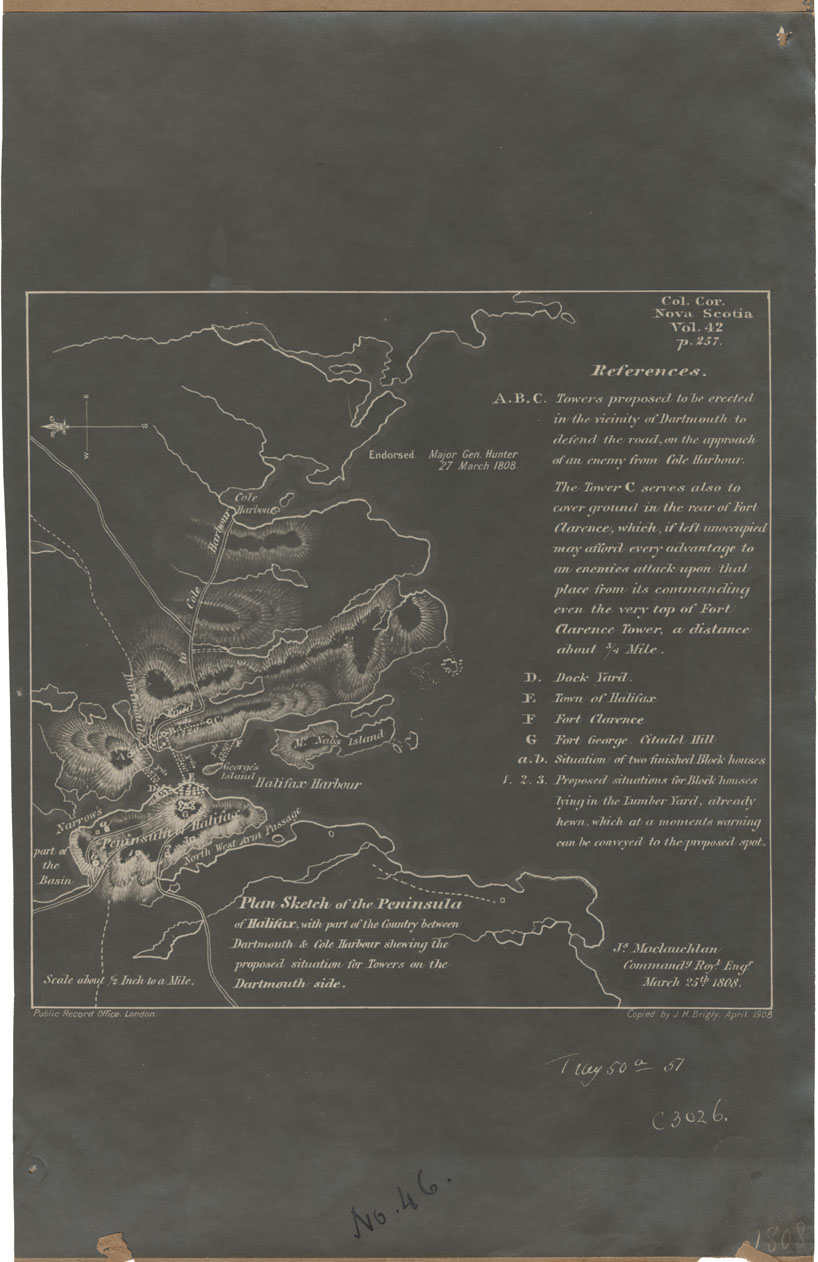
Plan Sketch of the Peninsula of Halifax with part of the Country between Dartmouth and Cole Harbour
Date: 25 March 1808
Reference: Nova Scotia Archives Map Collection: F/239 - 1808
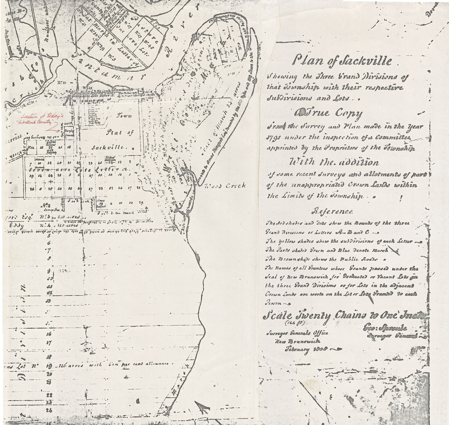
Plan of Sackville, showing the Three Grand Divisions of that Township with the respective subdivisions and lots
Date: July 1808
Reference: Nova Scotia Archives Map Collection: F/239 - 1808
Halifax County Clam Harbour w.m.1808
Date: 1808
Reference: Nova Scotia Archives Map Collection: F/240 - 1808
Halifax County Dartmouth Lake & Dartmouth Cove, w.m.1808
Date: 1808
Reference: Nova Scotia Archives Map Collection: F/240 - 1808
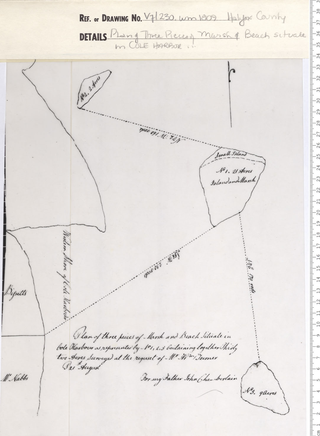
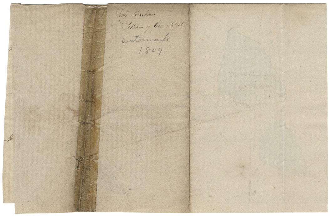
Plan of Three Pieces of Marsh and Beach Situate in Cole Harbour
Date: 1809
Reference: Nova Scotia Archives Map Collection: V7 230 Halifax County, Nova Scotia
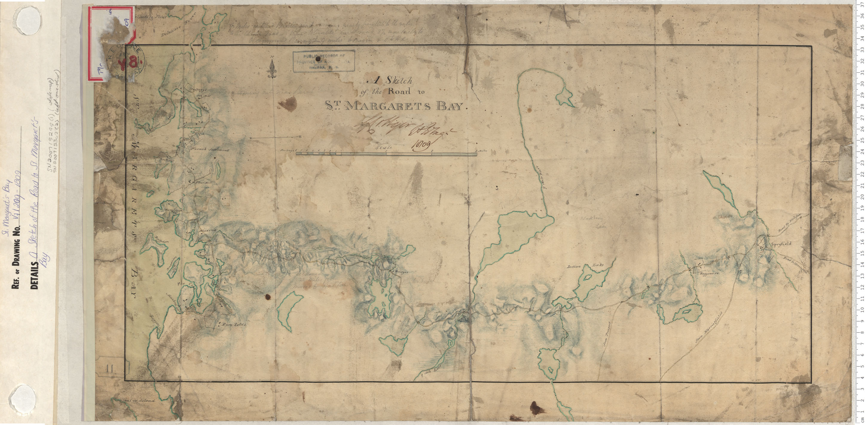
A Sketch of the Road to St. Margaret's Bay
Date: 1809
Reference: Nova Scotia Archives Map Collection: V7 209 St. Margaret's Bay, Nova Scotia
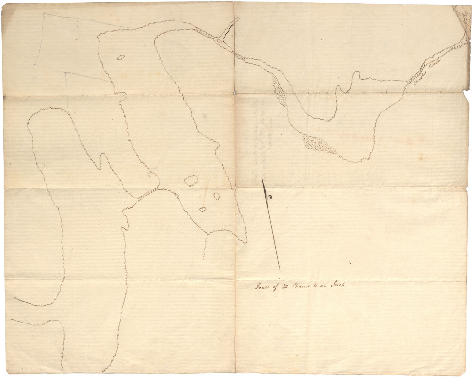
Halifax County Ships Harbour, River Charles and 1st, 2nd, & 3rd Lakes on said river. W.m.1809
Date: 1809
Reference: Nova Scotia Archives Map Collection: F/210 - 1809
Plan of Three pieces of Marsh & Beach situate in Cole Harbour
Date: 21 August 1809
Reference: Nova Scotia Archives Map Collection: F/230 - 1809
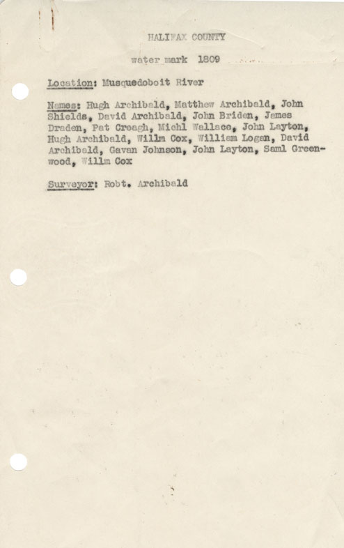
Halifax County Musquodoboit River w.m.1809
Date: 1809
Reference: Nova Scotia Archives Map Collection: F/230 - 1809
