Nova Scotia Archives
Historical Maps of Nova Scotia
Results 1 to 15 of 119 from your search: Royal Engineers
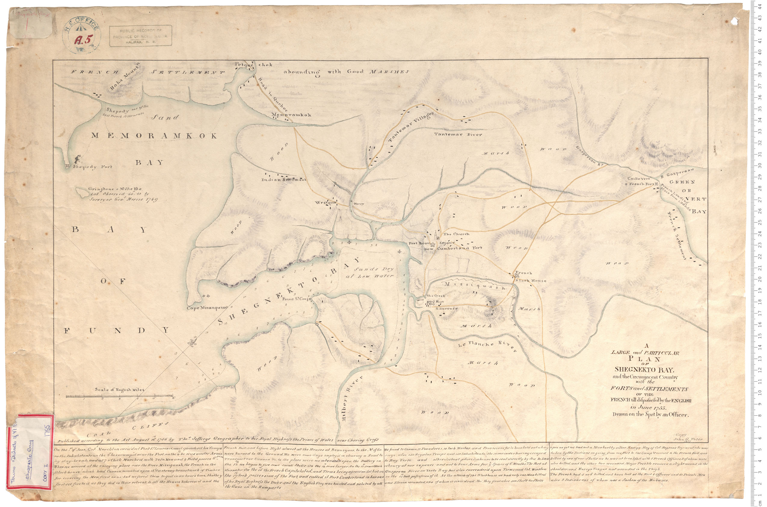
Plan of Shegnekto Bay
Date: June 1755
Reference: Nova Scotia Archives Royal Engineers Maps and Plans A.05
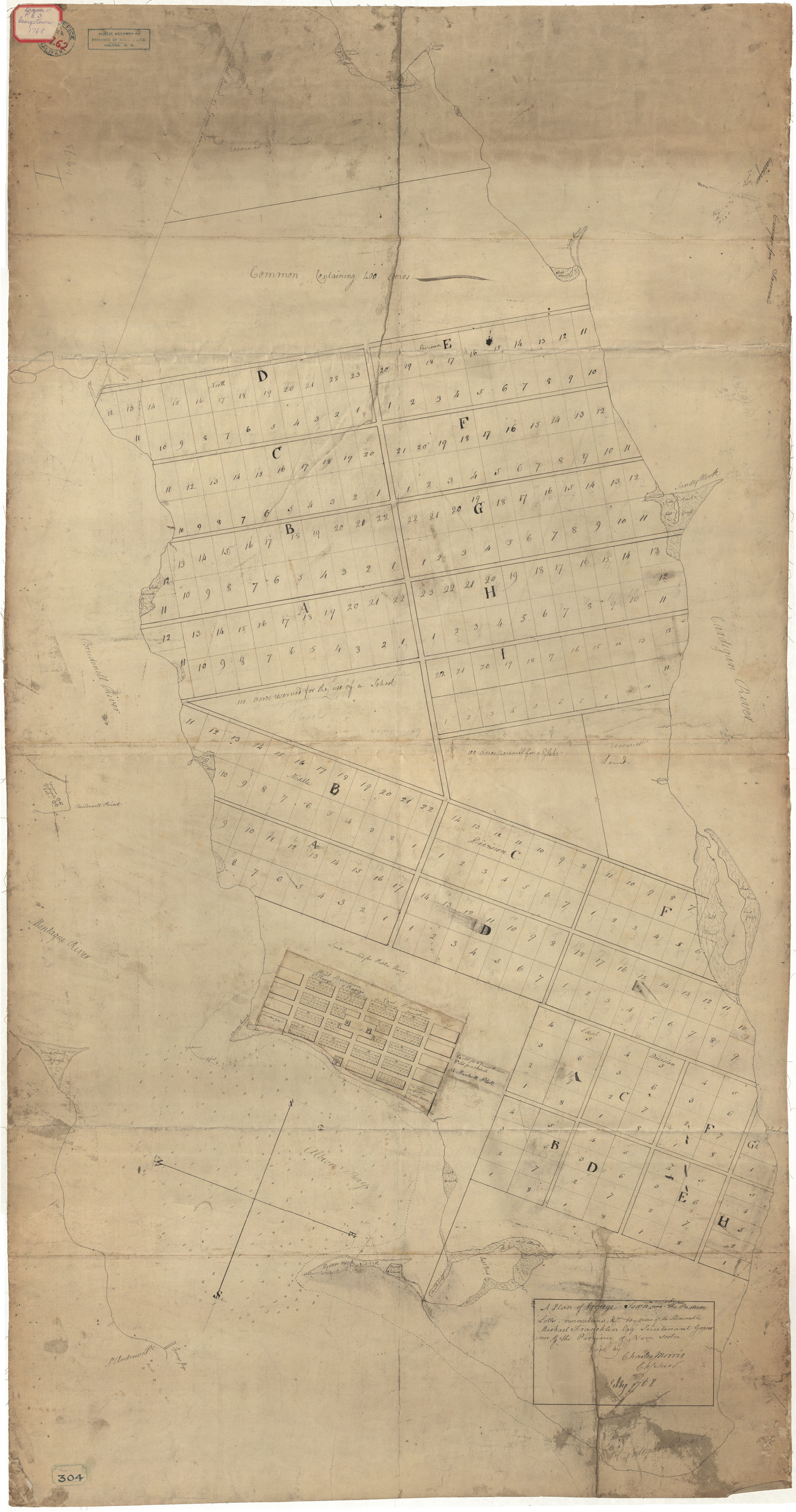
Georgetown, Isle of Saint John
Date: 1768
Reference: Nova Scotia Archives Royal Engineers Maps and Plans A.62
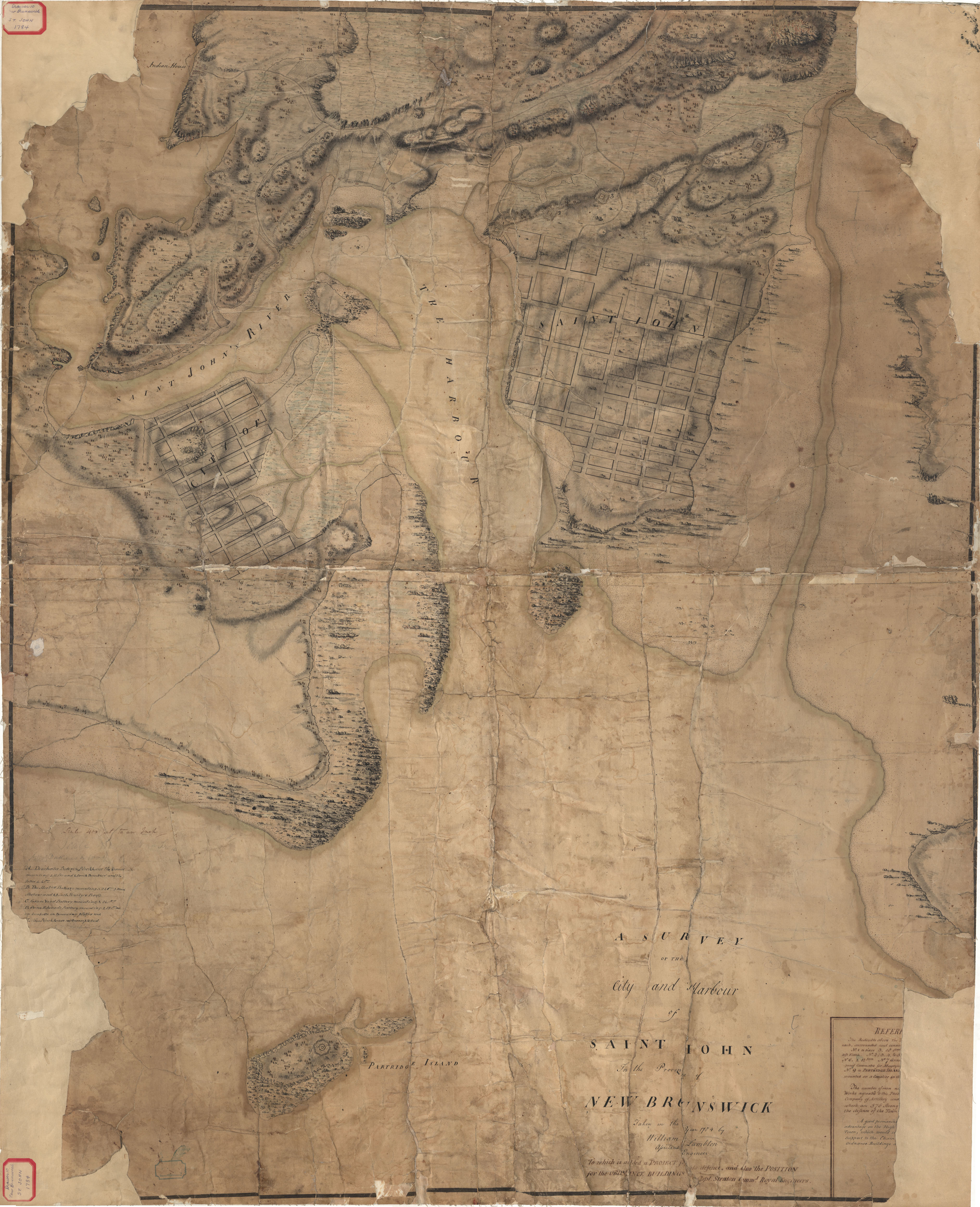
City and Town of Saint John
Date: 1784
Reference: Nova Scotia Archives Royal Engineers Maps and Plans
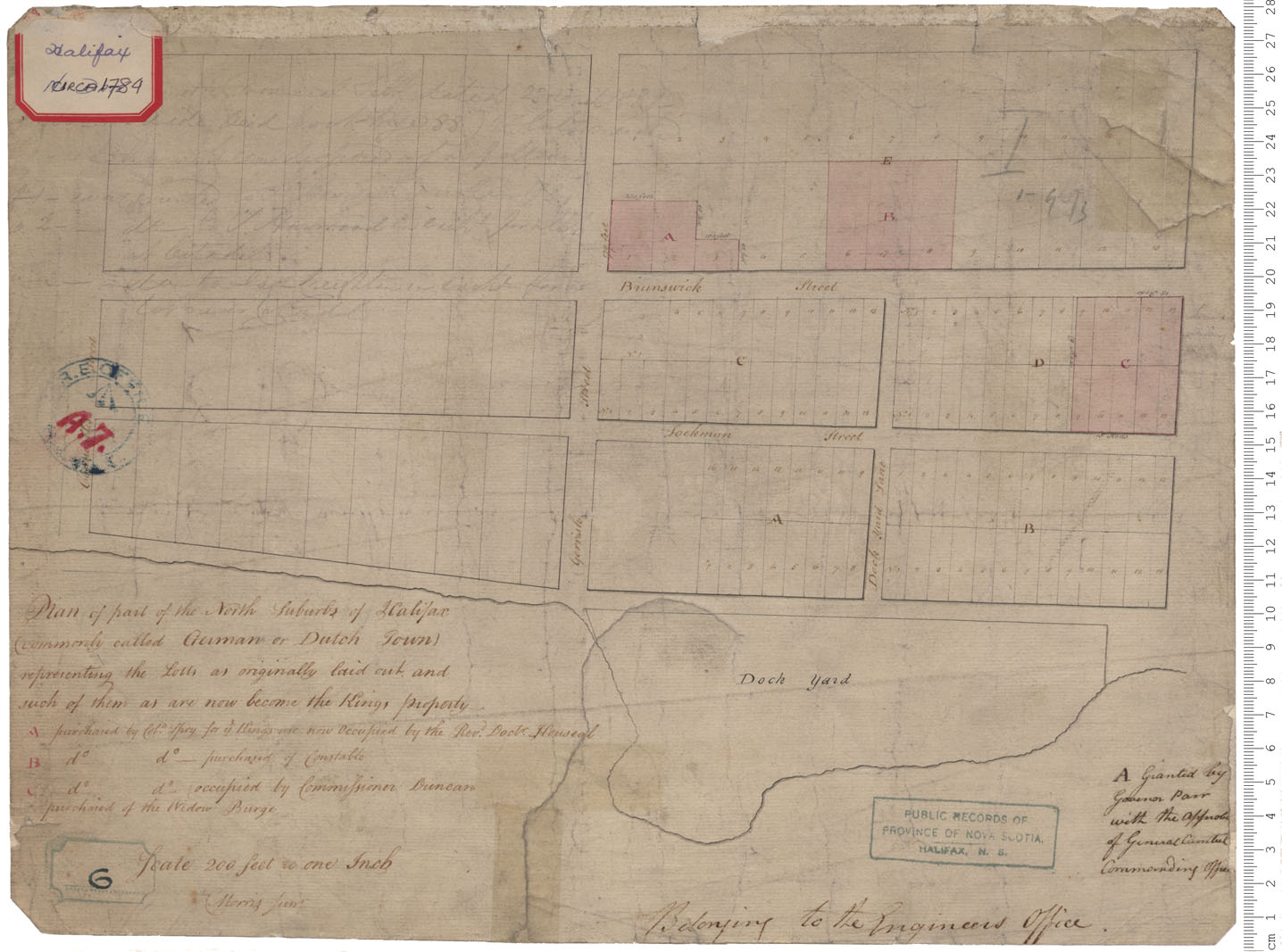
German Town or Dutch Town
Date: a. 1784
Reference: Nova Scotia Archives Royal Engineers Maps and Plans A.07 V6/240 - 1784
Peninsula and harbour of Halifax
Date: 1808
Reference: Nova Scotia Archives Royal Engineers Maps and Plans Y.26
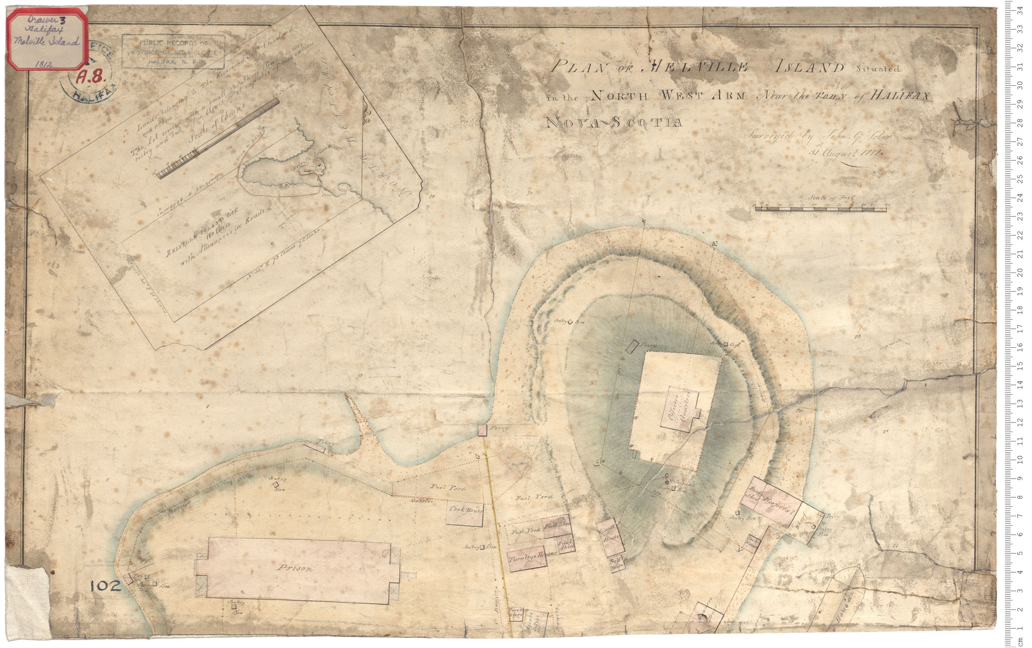
Melville Island - property
Date: 31 August 1812
Reference: Nova Scotia Archives Royal Engineers Maps and Plans A.08
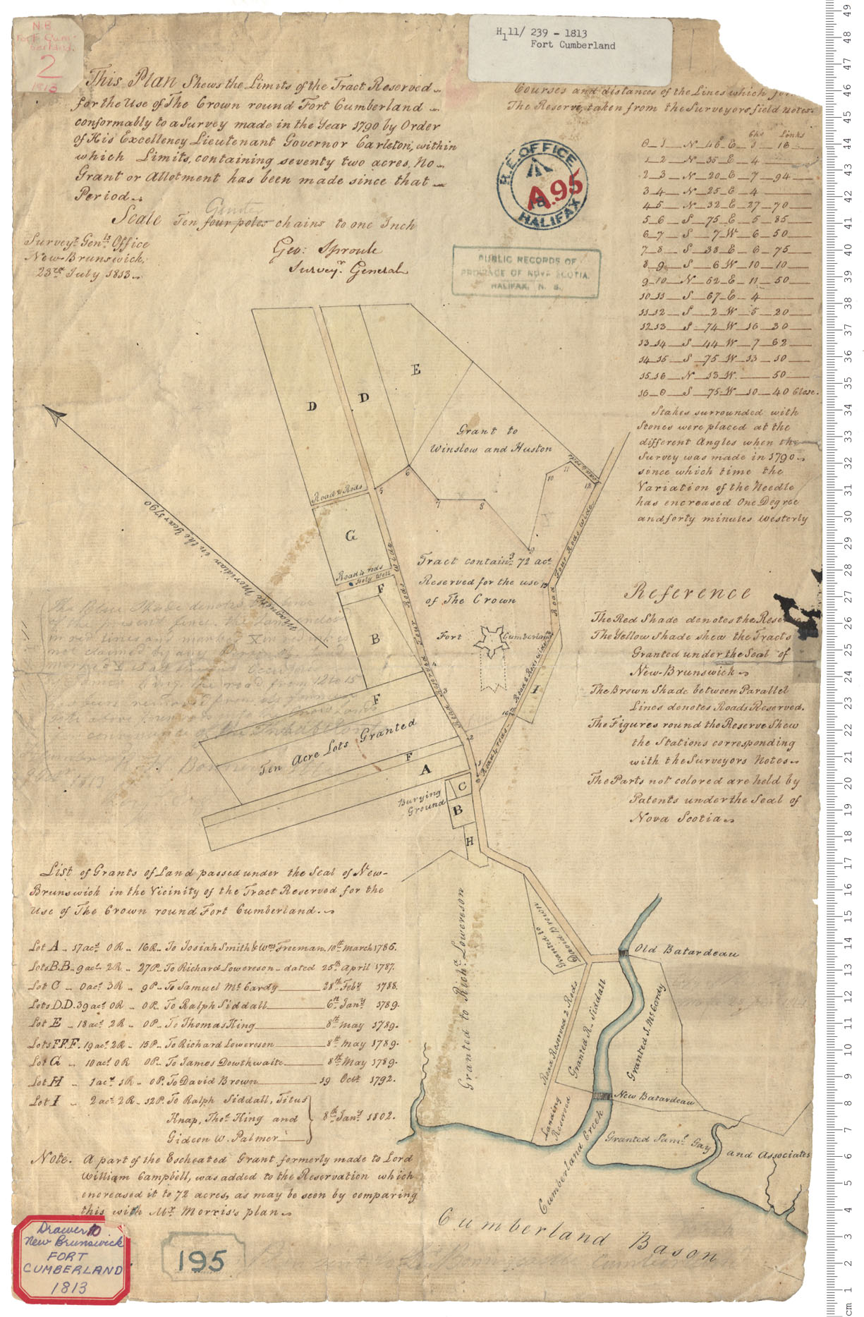
Fort Cumberland
Date: 23 July 1813
Reference: Nova Scotia Archives Royal Engineers Maps and Plans A.95
Description of the Routs and Distances to different Place in the Province of New Brunswick
Date: 1817
Reference: Nova Scotia Archives Royal Engineers Maps and Plans R.07
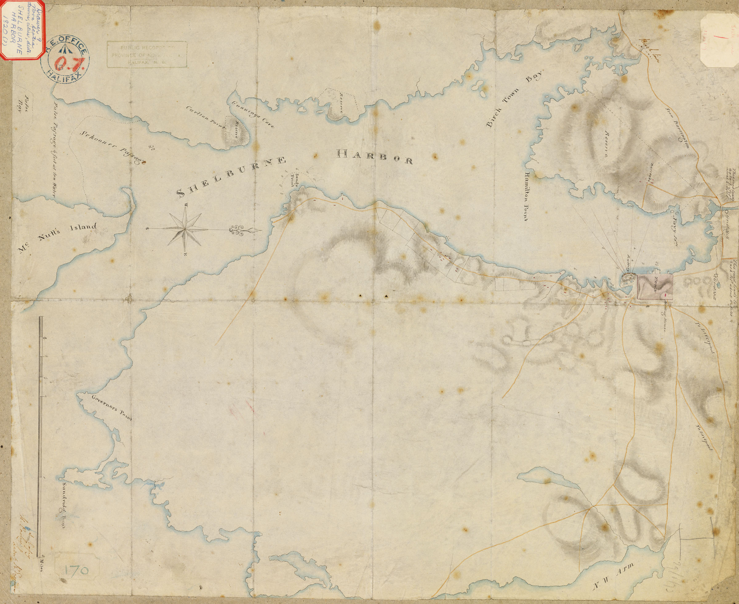
Shelburne Harbour
Date: 1820
Reference: Nova Scotia Archives Royal Engineers Map Collection: F/239 - 1820 V7 239 Shelburne, Nova Scotia
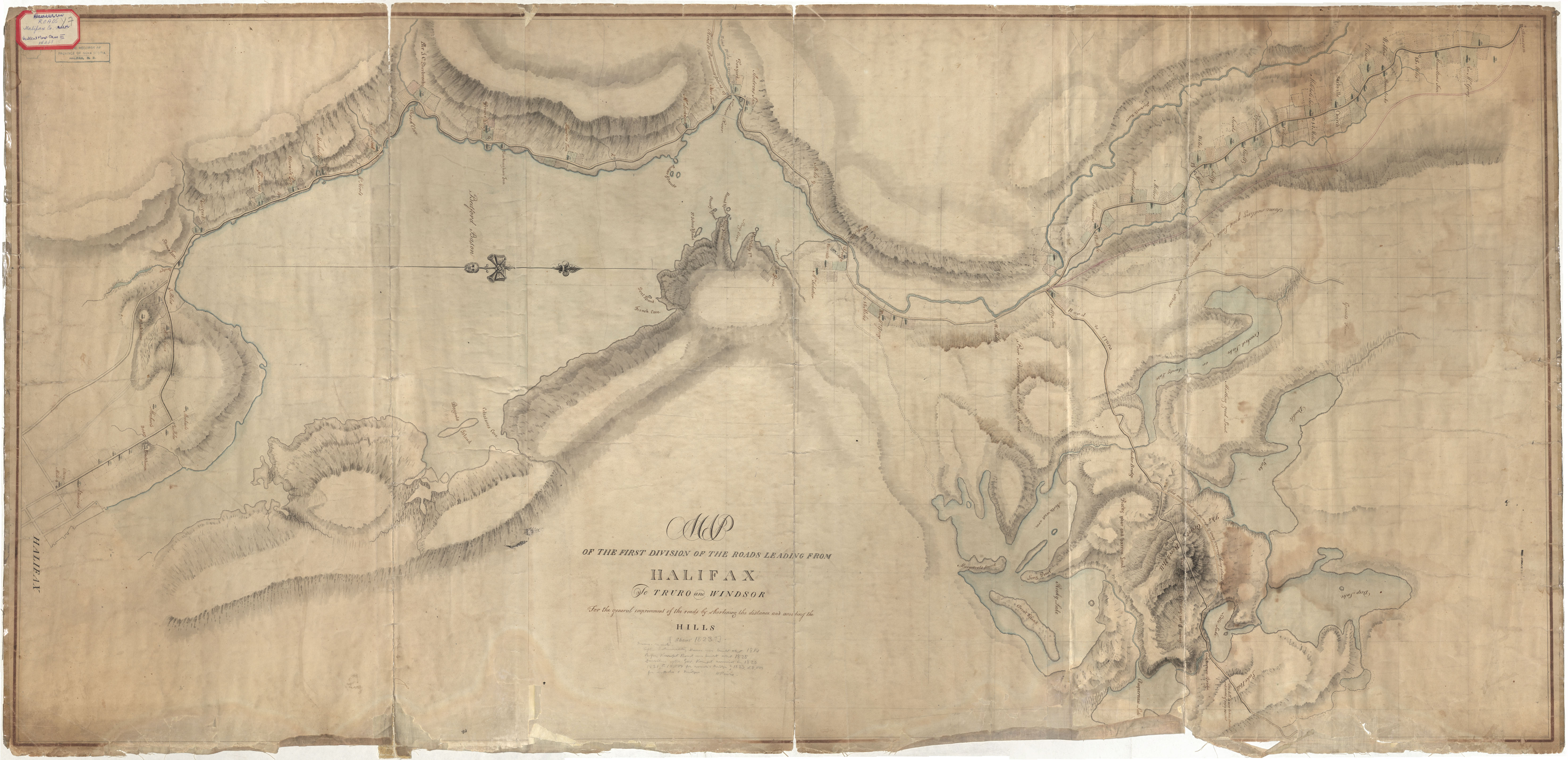
Roads from Halifax to Truro & Windsor
Date: 1823
Reference: Nova Scotia Archives Royal Engineers Maps and Plans Y.07
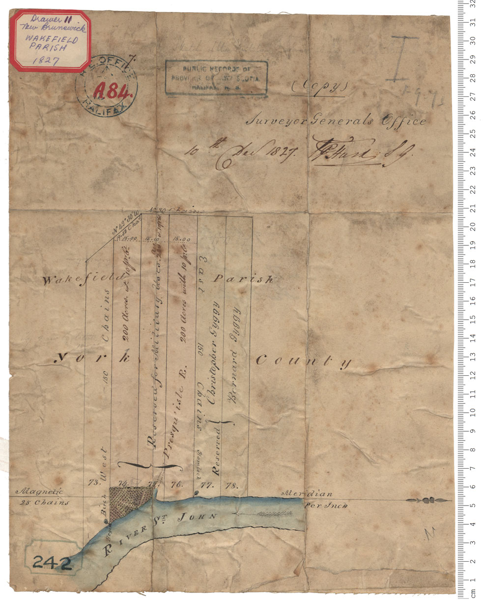
Military reserves, Wakefield Parish, York County
Date: 10 December 1827
Reference: Nova Scotia Archives Royal Engineers Maps and Plans A.84
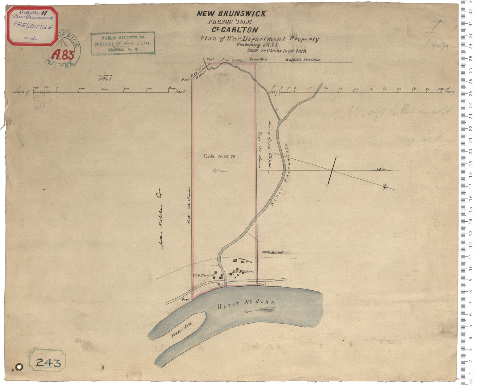
War Department Property - Presqu'Isle
Date:
Reference: Nova Scotia Archives Royal Engineers Maps and Plans A.83
