Nova Scotia Archives
Historical Maps of Nova Scotia
Results 91 to 105 of 119 from your search: Royal Engineers
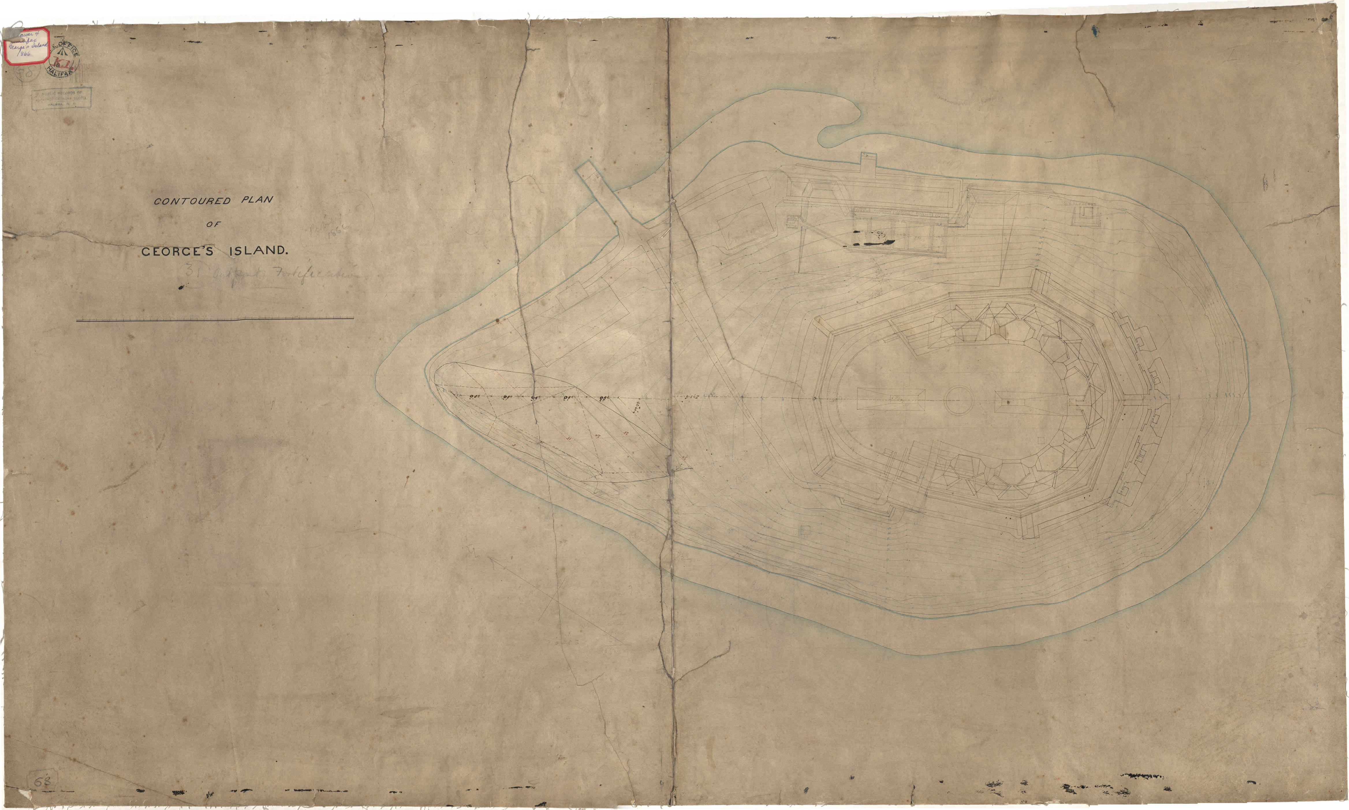
George's Island, Contoured Plan
Date:
Reference: Nova Scotia Archives Royal Engineers Maps and Plans K.01
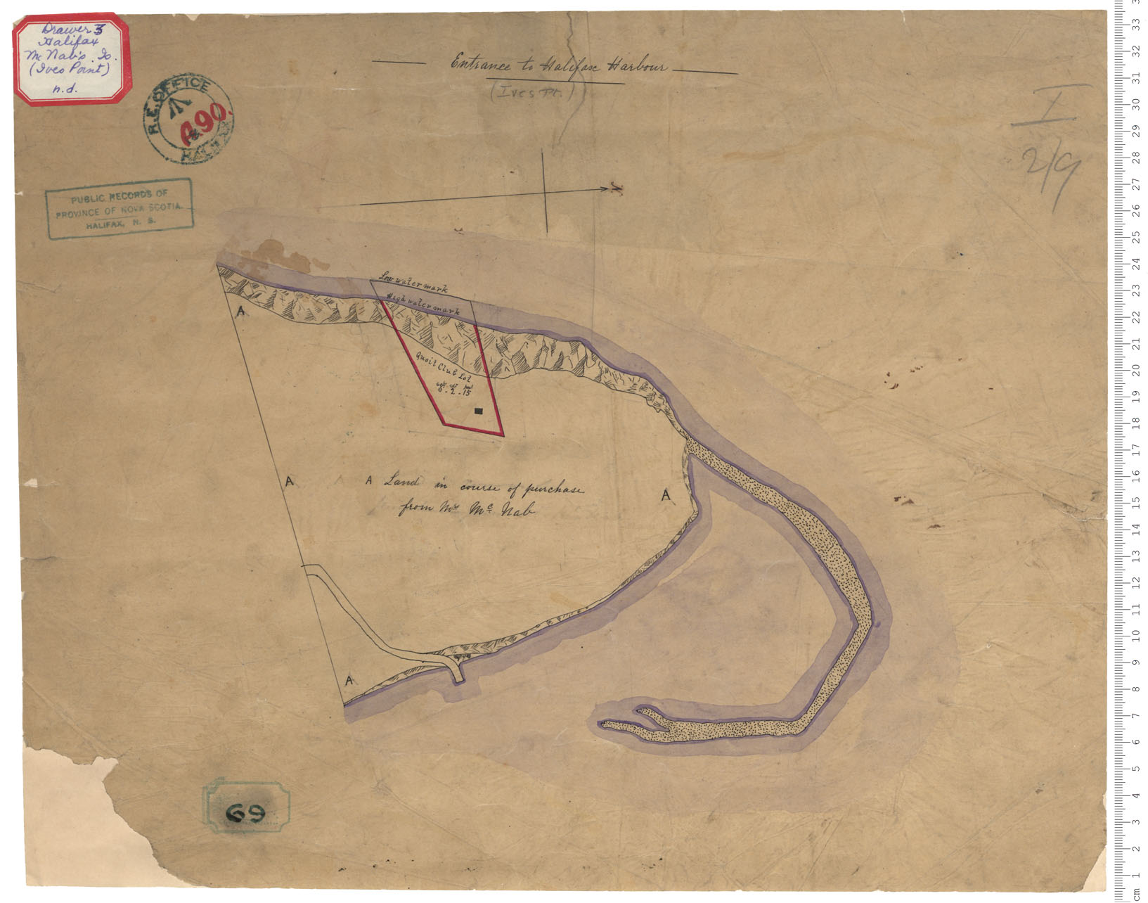
Ives Point, McNab's Island
Date:
Reference: Nova Scotia Archives Royal Engineers Maps and Plans A.90
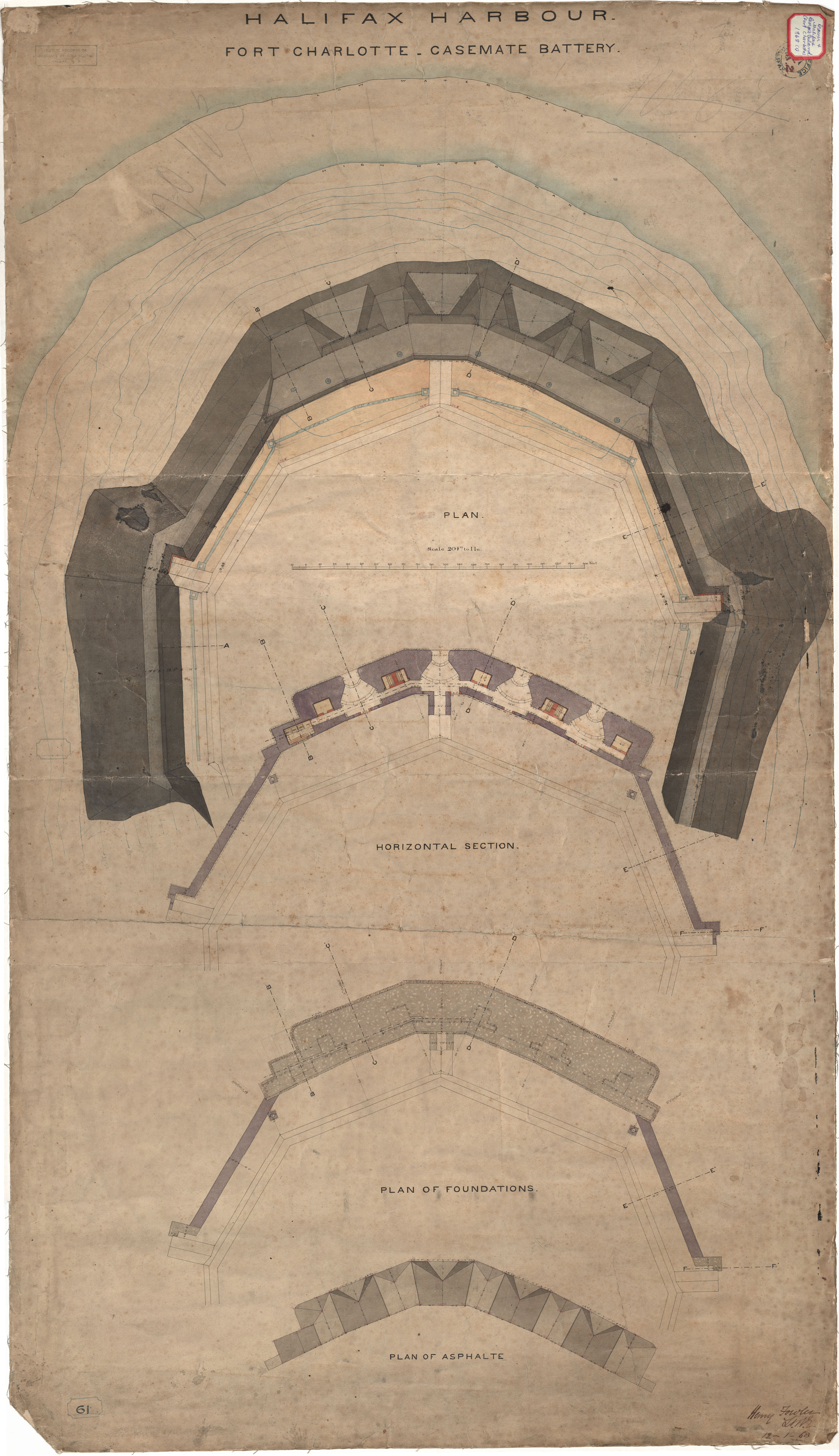
Fort Charlotte - Casement Battery
Date: 12 January 1868
Reference: Nova Scotia Archives Royal Engineers Maps and Plans K.02
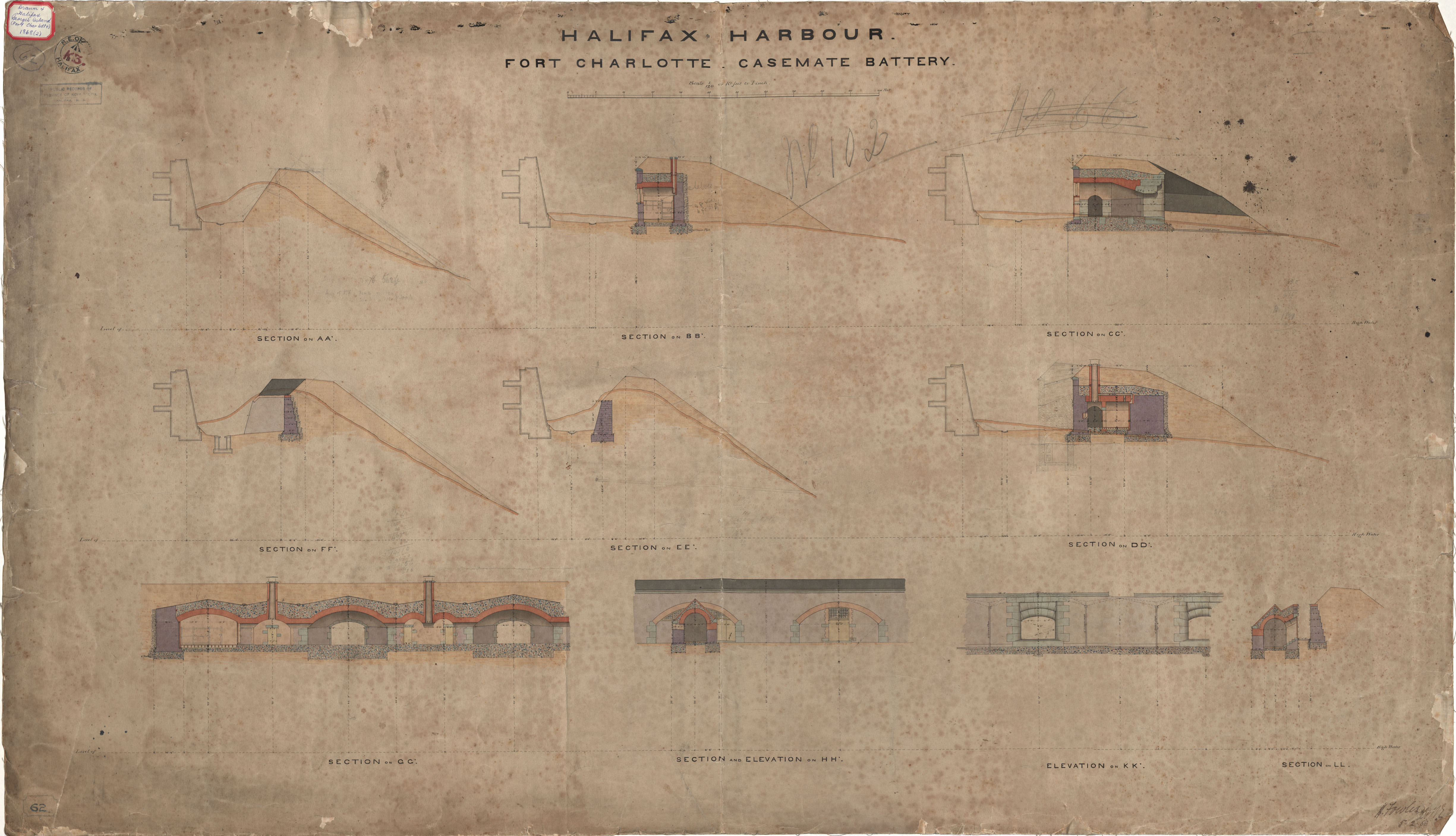
Fort Charlotte - Casement Battery
Date: 5 February 1868
Reference: Nova Scotia Archives Royal Engineers Maps and Plans K.03
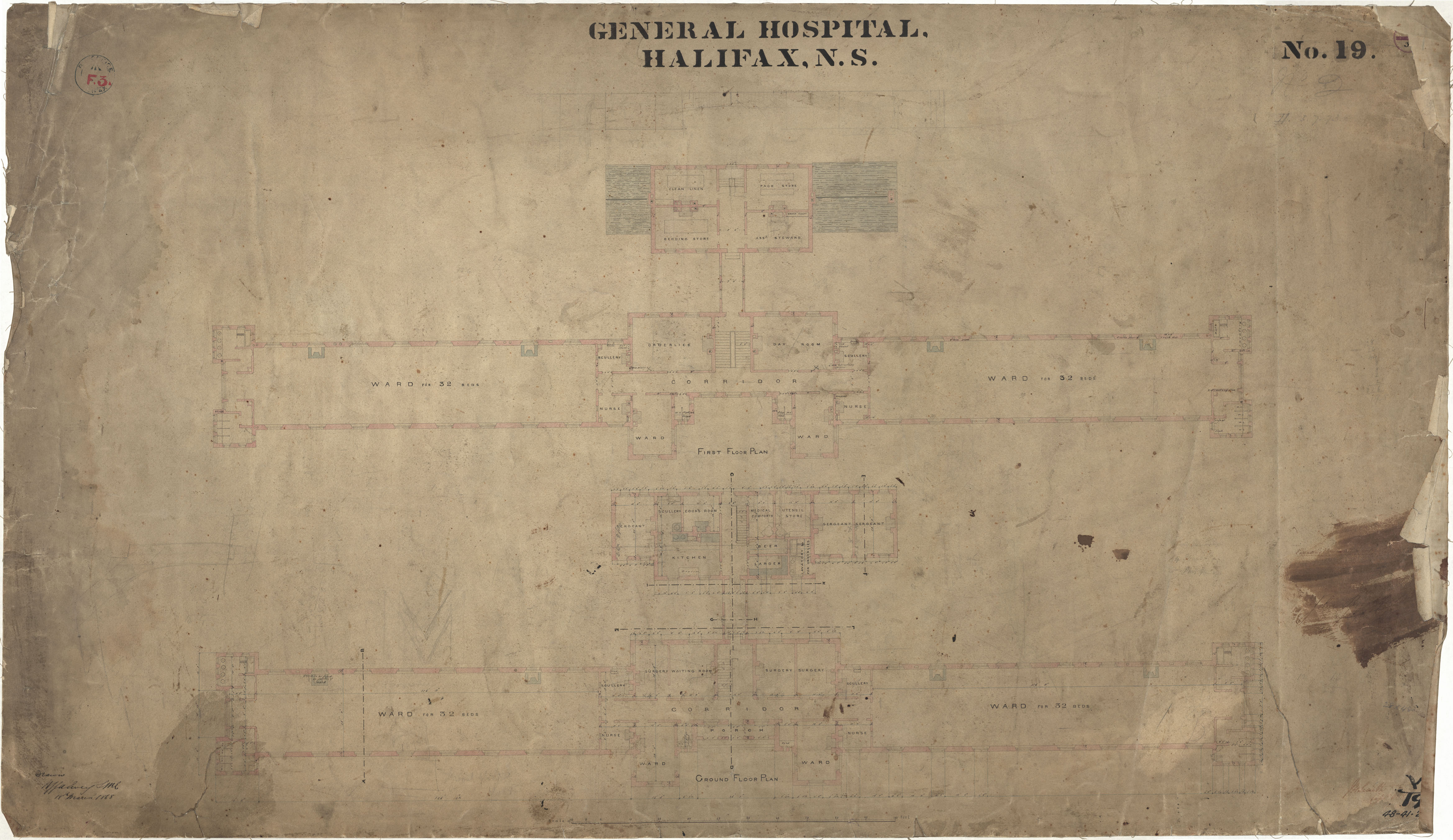
General Hospital
Date: 18 March 1868
Reference: Nova Scotia Archives Royal Engineers Maps and Plans F.03 48 - 41 - 2 - 3
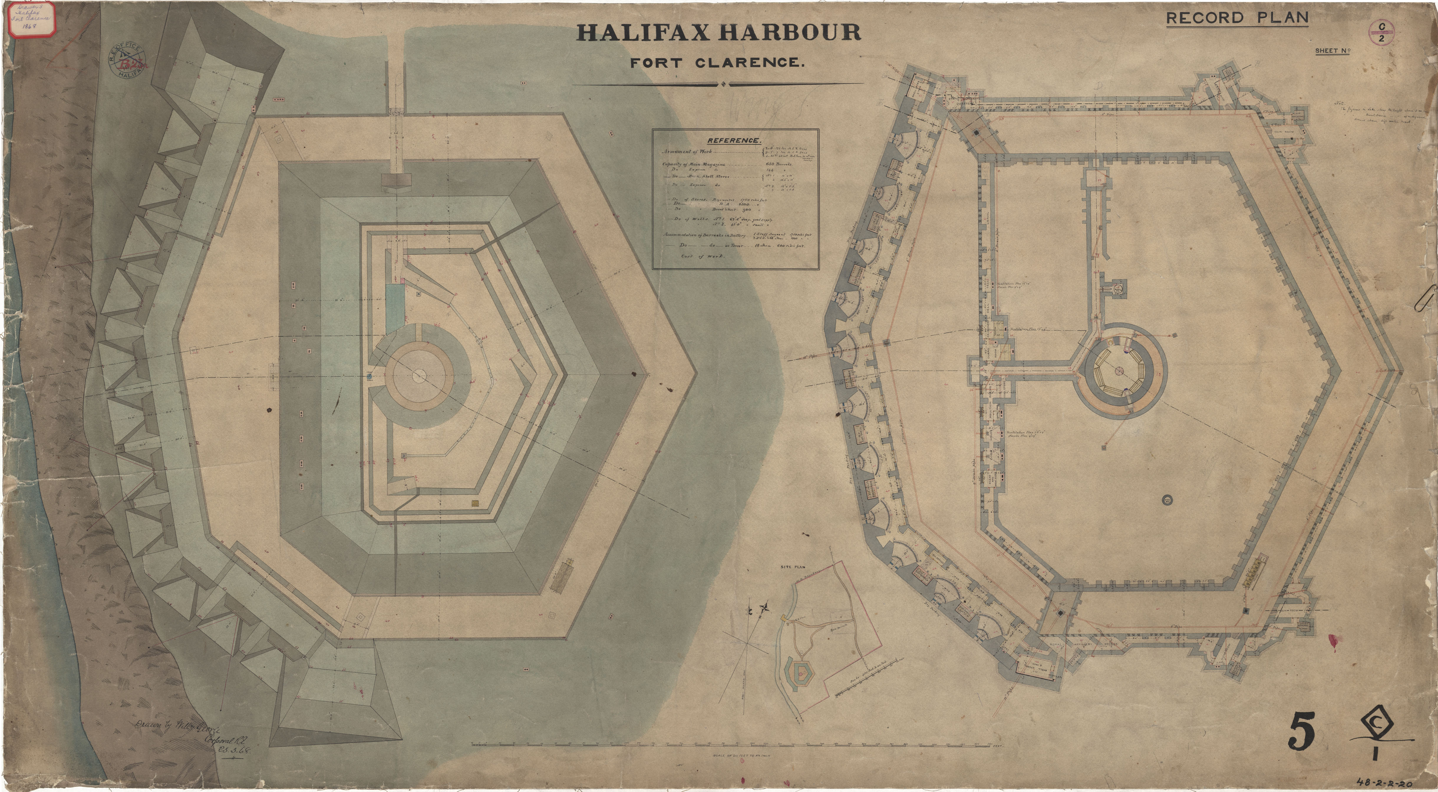
Fort Clarence
Date: 23 March 1868
Reference: Nova Scotia Archives Royal Engineers Maps and Plans 48 - 2 - 2 - 20
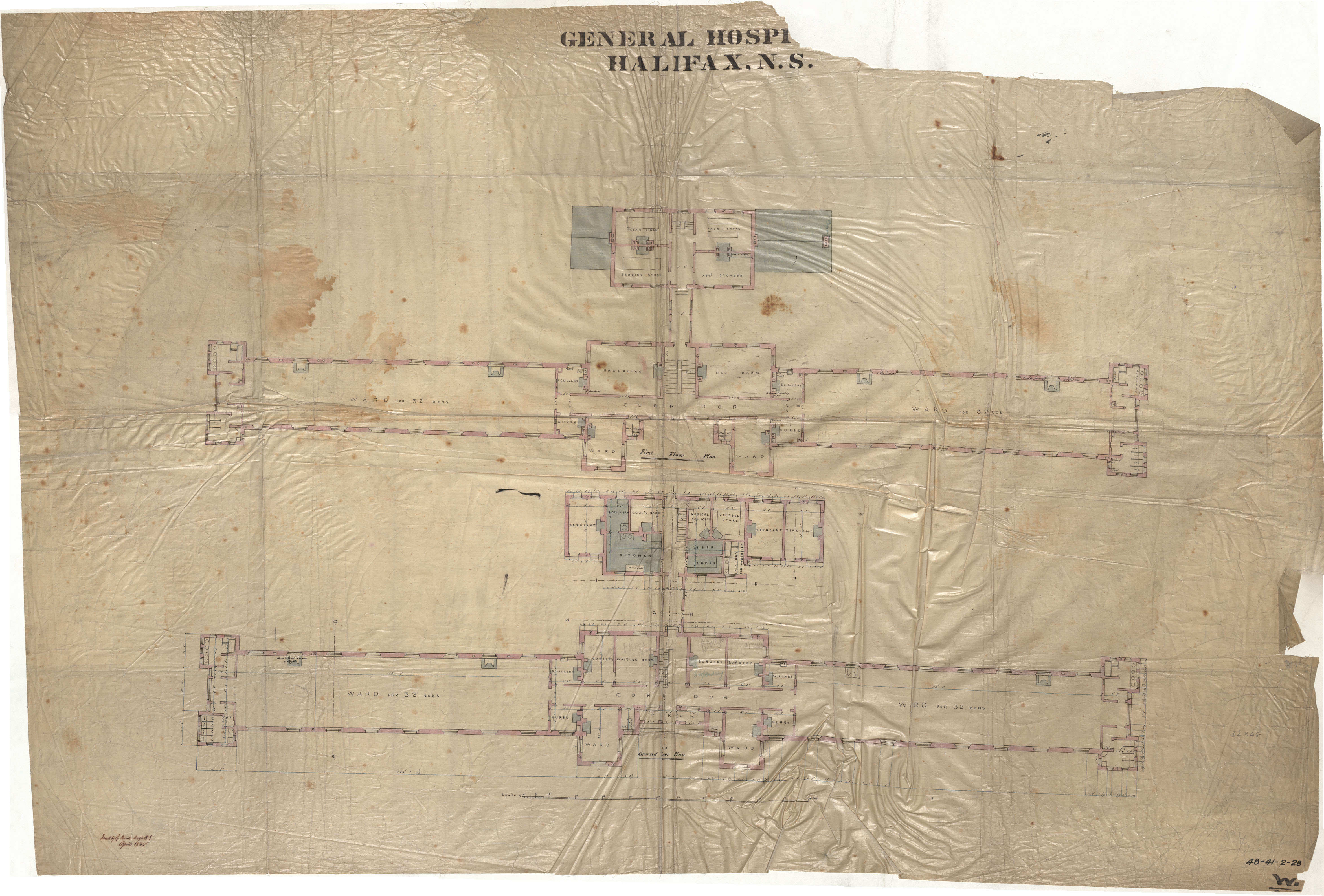
General Hospital
Date: April 1868
Reference: Nova Scotia Archives Royal Engineers Maps and Plans 48 - 41 - 2 - 28
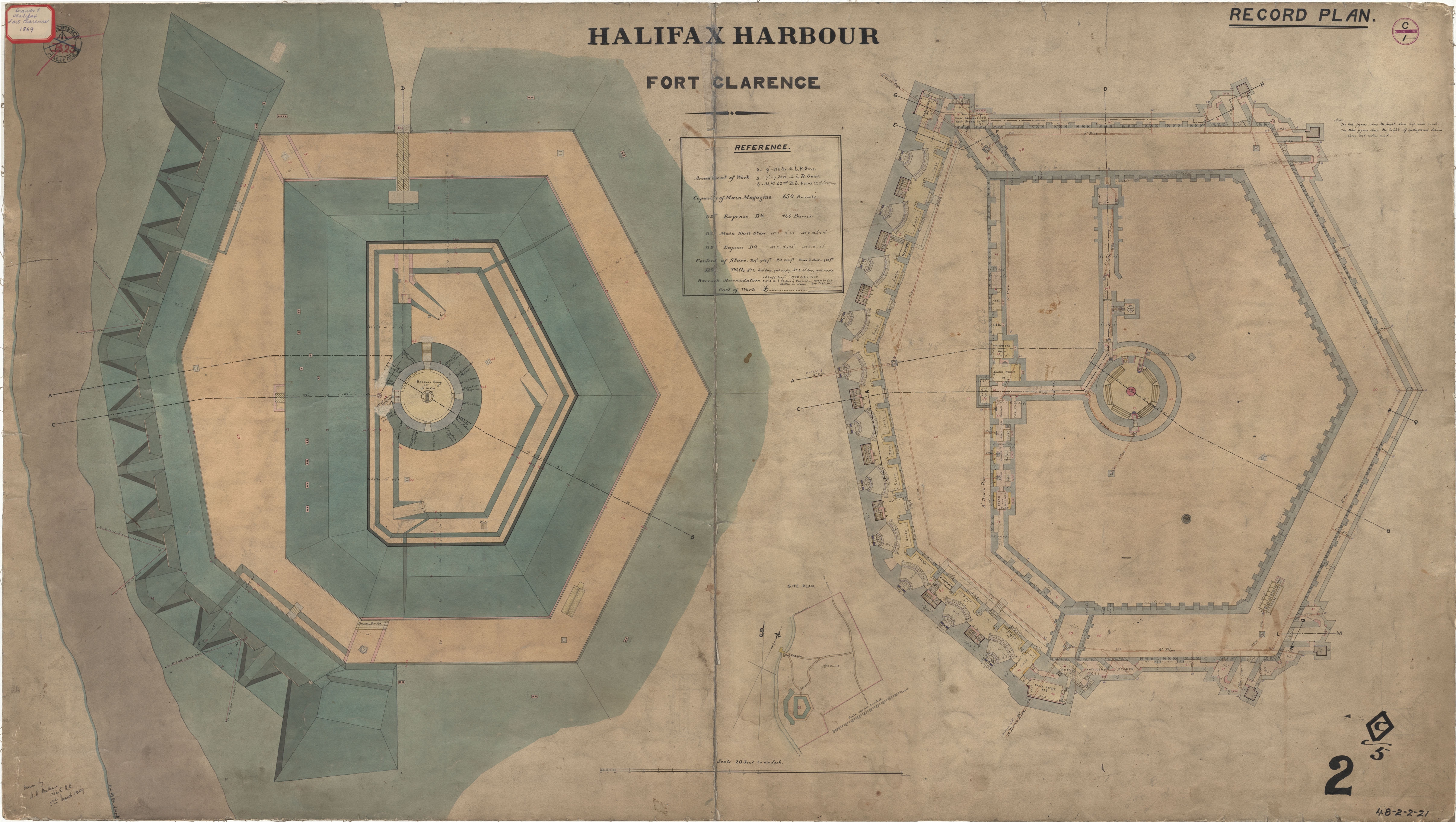
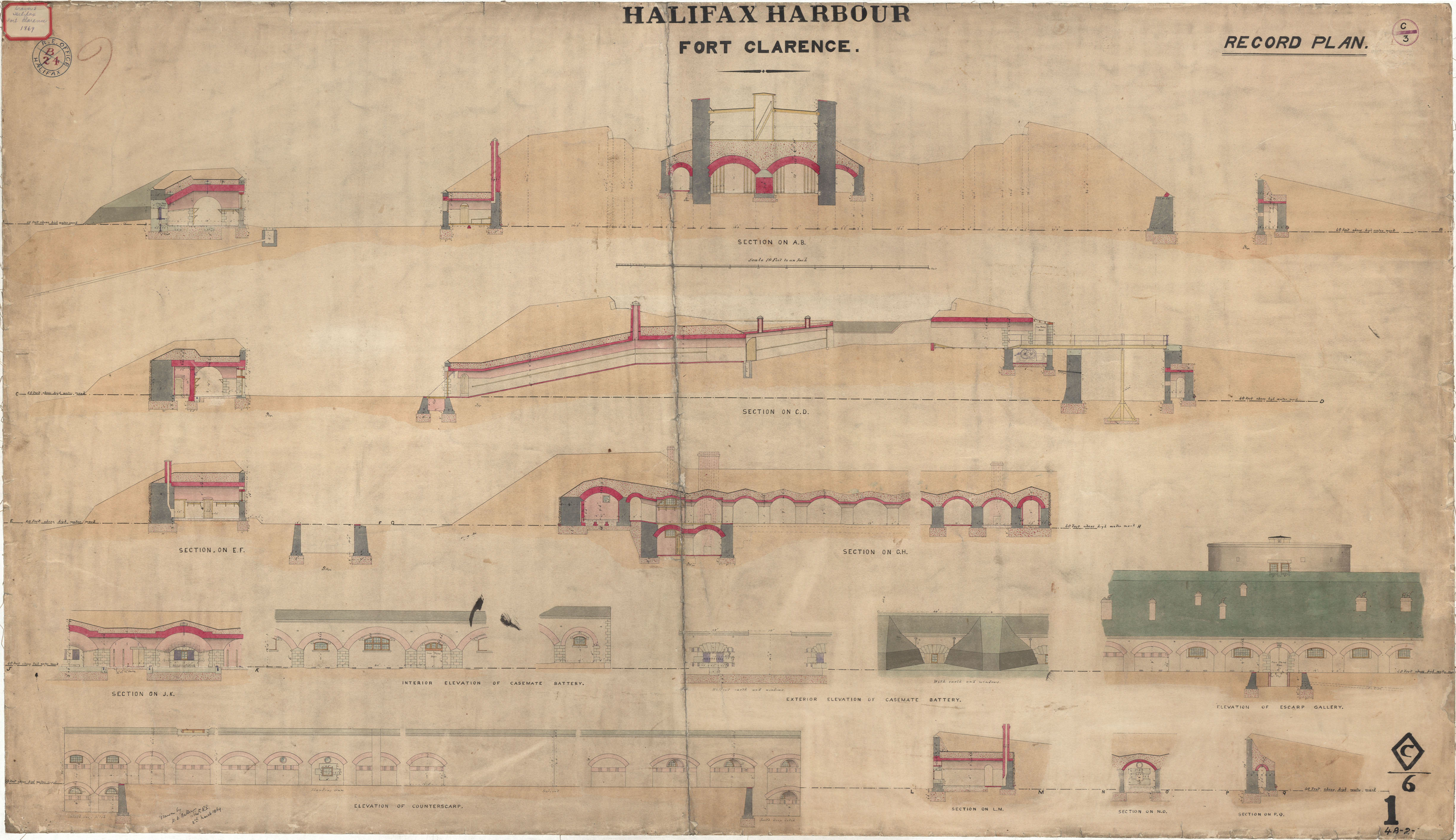
Fort Clarence - Record Plan
Date: 2 March 1869
Reference: Nova Scotia Archives Royal Engineers Maps and Plans 48 - 2 - 2 - 21
Fort Clarence - Elevations
Date: 2 March 1869
Reference: Nova Scotia Archives Royal Engineers Maps and Plans 48 - 2 - 2 -
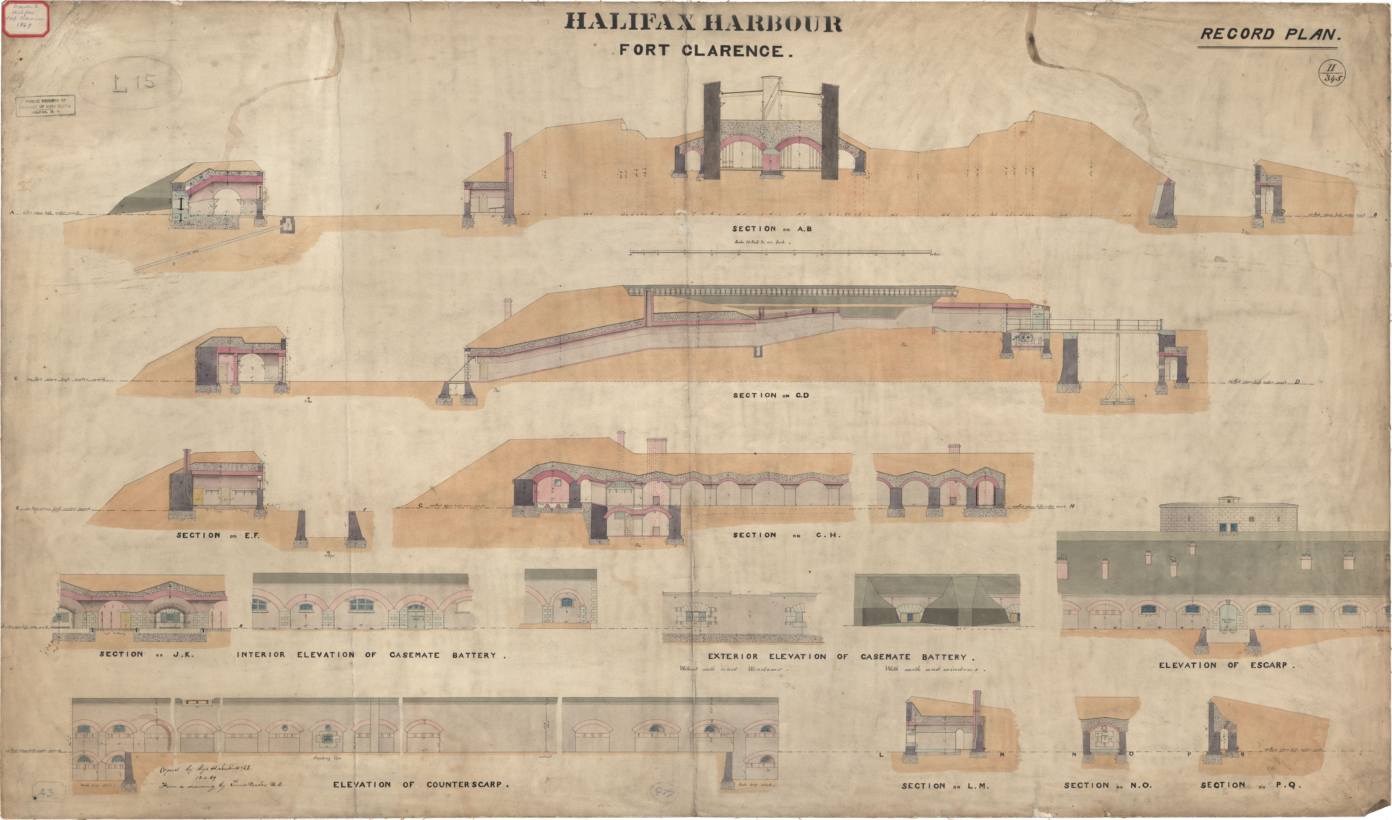
Fort Clarence - Elevations
Date: 13 April 1869
Reference: Nova Scotia Archives Royal Engineers Maps and Plans L.15
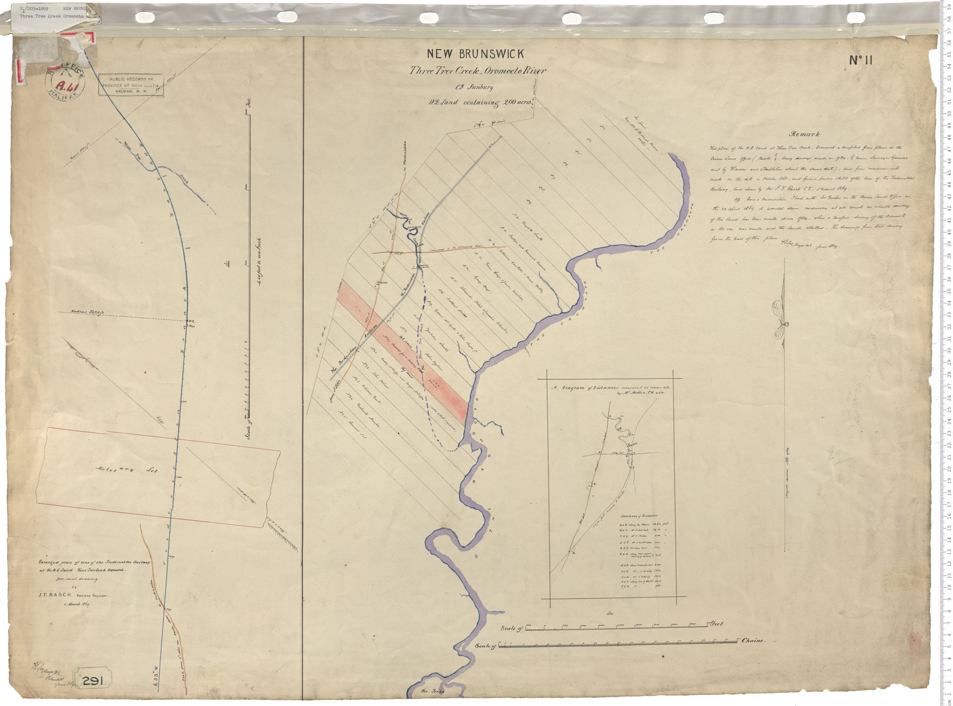
Three Tree Creek
Date: 1 June 1869
Reference: Nova Scotia Archives Royal Engineers Maps and Plans A.41
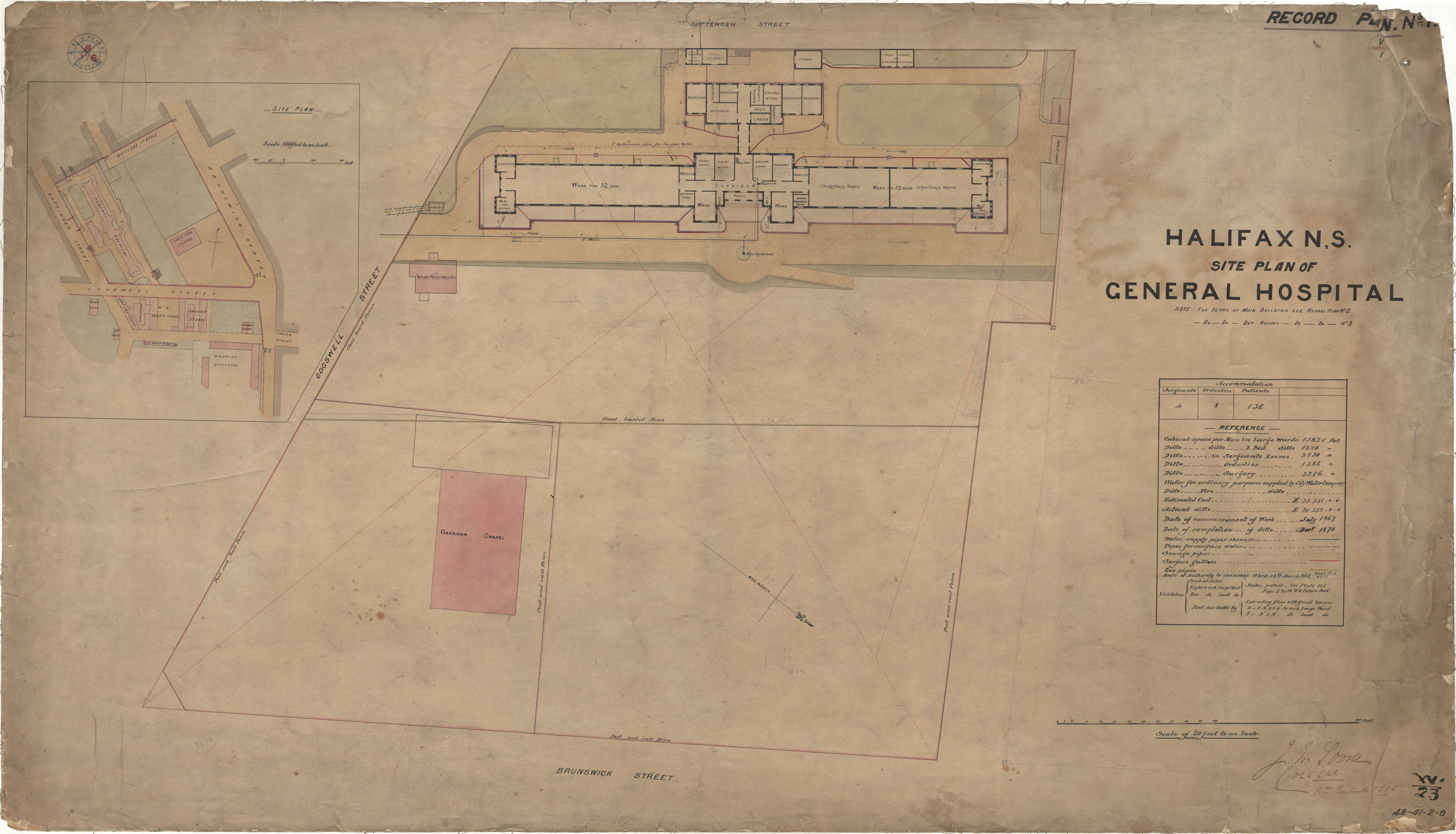
General Hospital- Site Plan
Date: 1870
Reference: Nova Scotia Archives Royal Engineers Maps and Plans 48 - 41 - 2 - 8
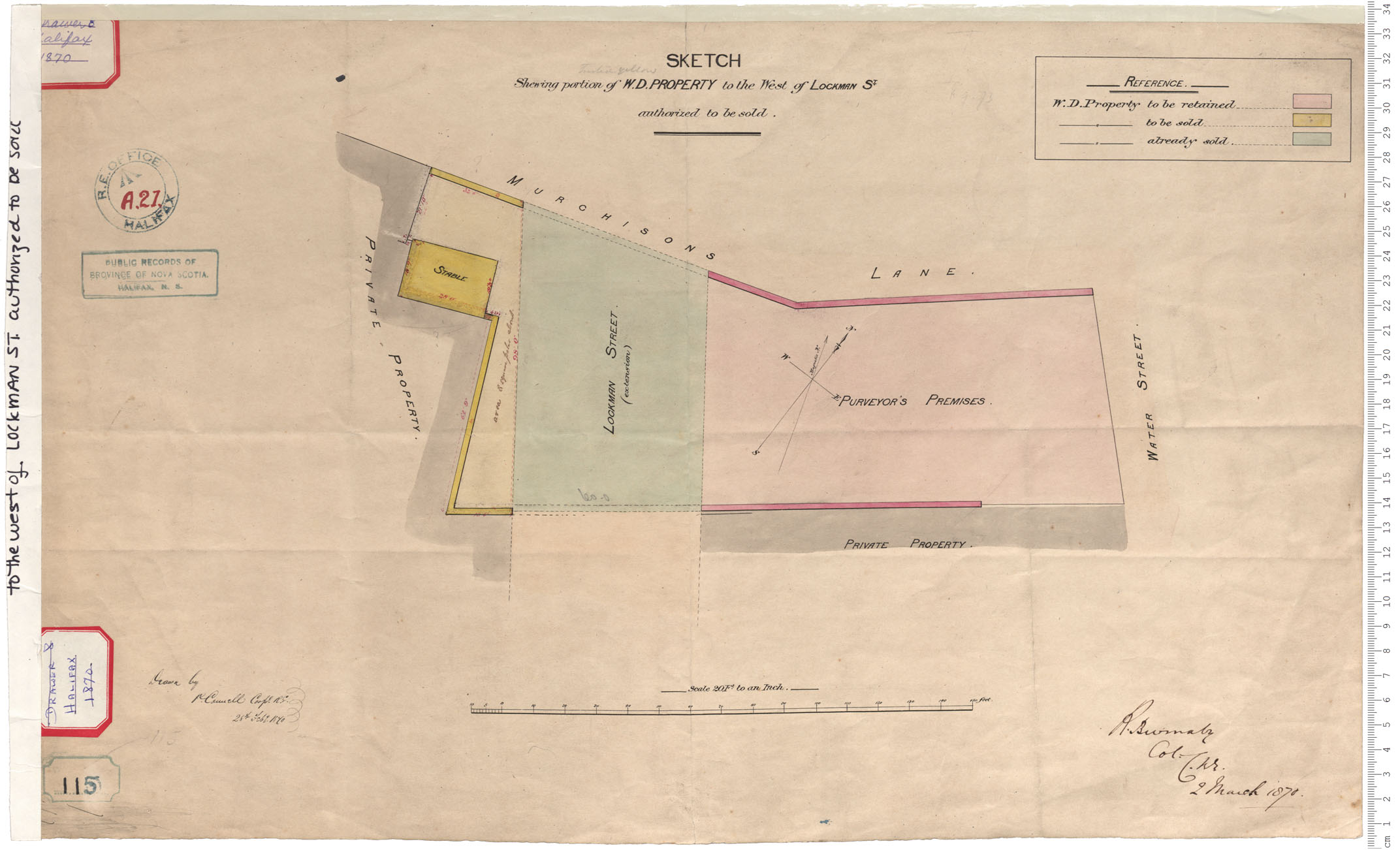
W.D. Property to west of Lockman Street
Date: 28 February 1870
Reference: Nova Scotia Archives Royal Engineers Maps and Plans A.21
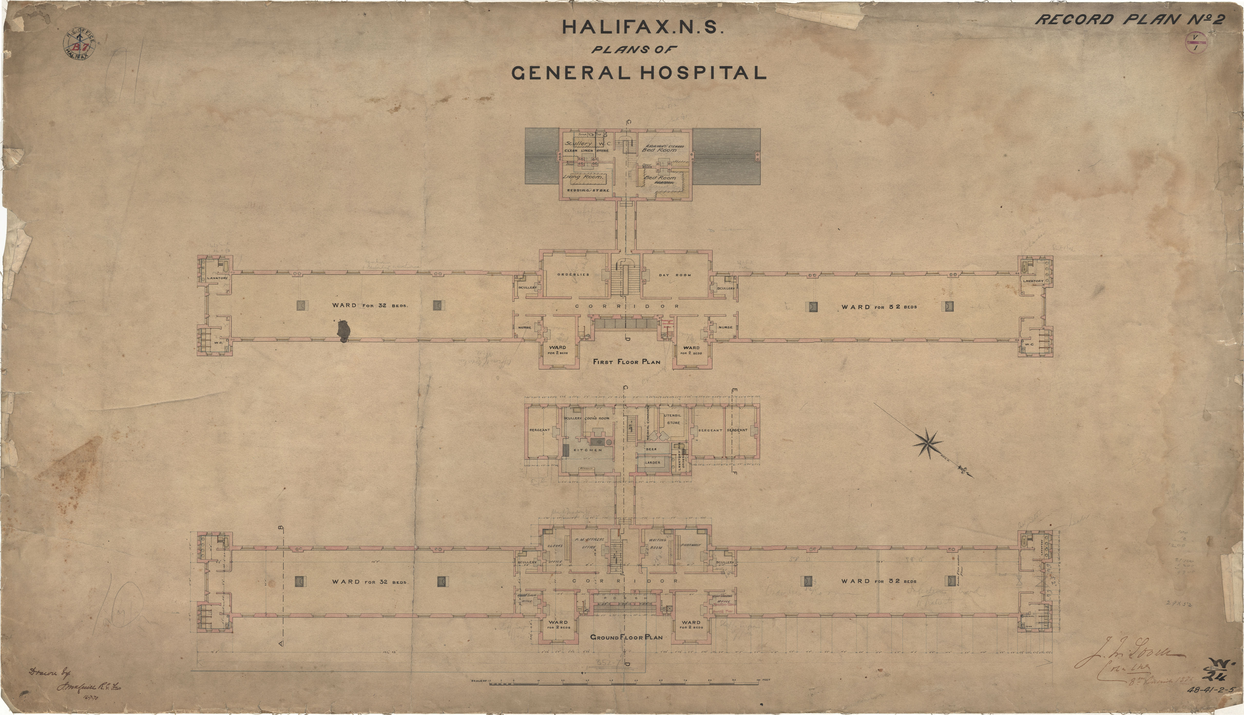
General Hospital
Date: 16 July 1870
Reference: Nova Scotia Archives Royal Engineers Maps and Plans 48 - 41 - 2 - 5
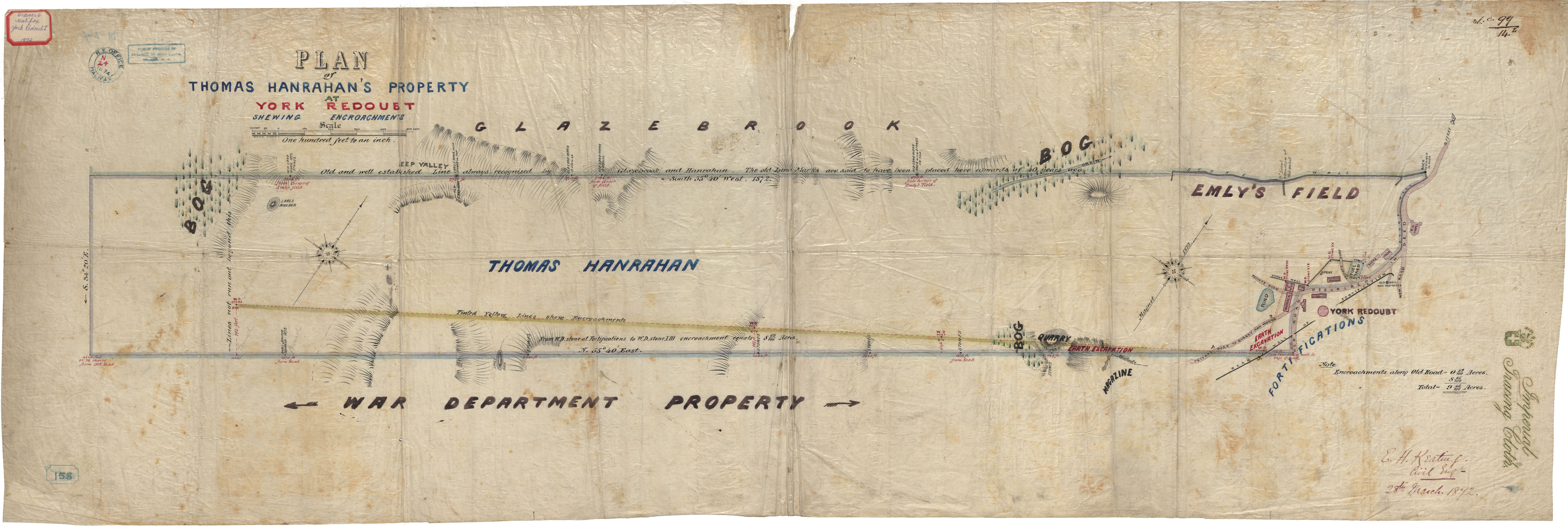
Thomas Hanrahan's Property
Date: 28 March 1872
Reference: Nova Scotia Archives Royal Engineers Maps and Plans N.24
