Nova Scotia Archives
Historical Maps of Nova Scotia
Results 316 to 330 of 663 from your search: Halifax
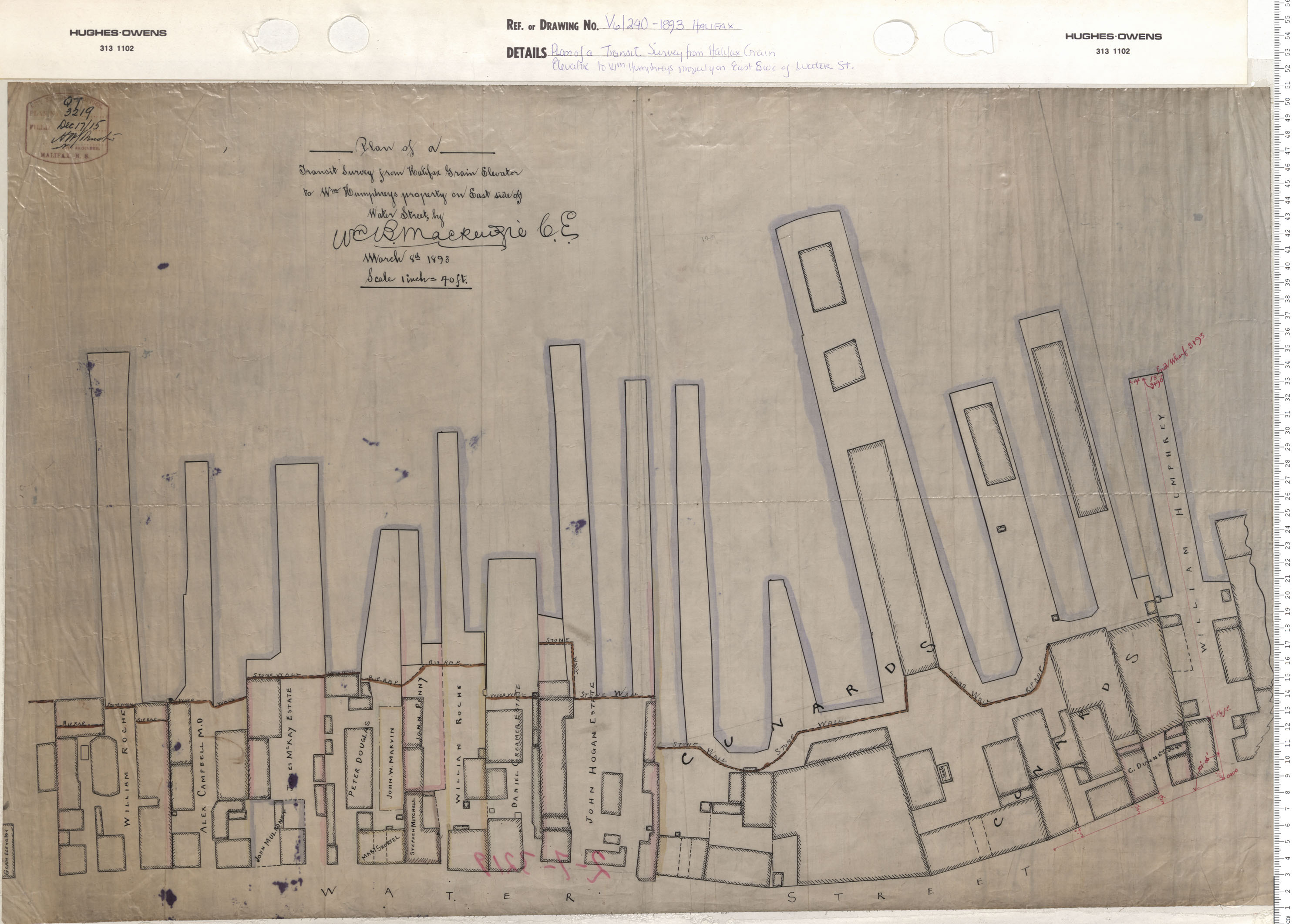
Plan of a Transit Survey From Halifax Grain Elevator to William Humphrey's Property on East side of Water Street
Date: 1893
Reference: Nova Scotia Archives Map Collection: V6 240 Halifax, Nova Scotia
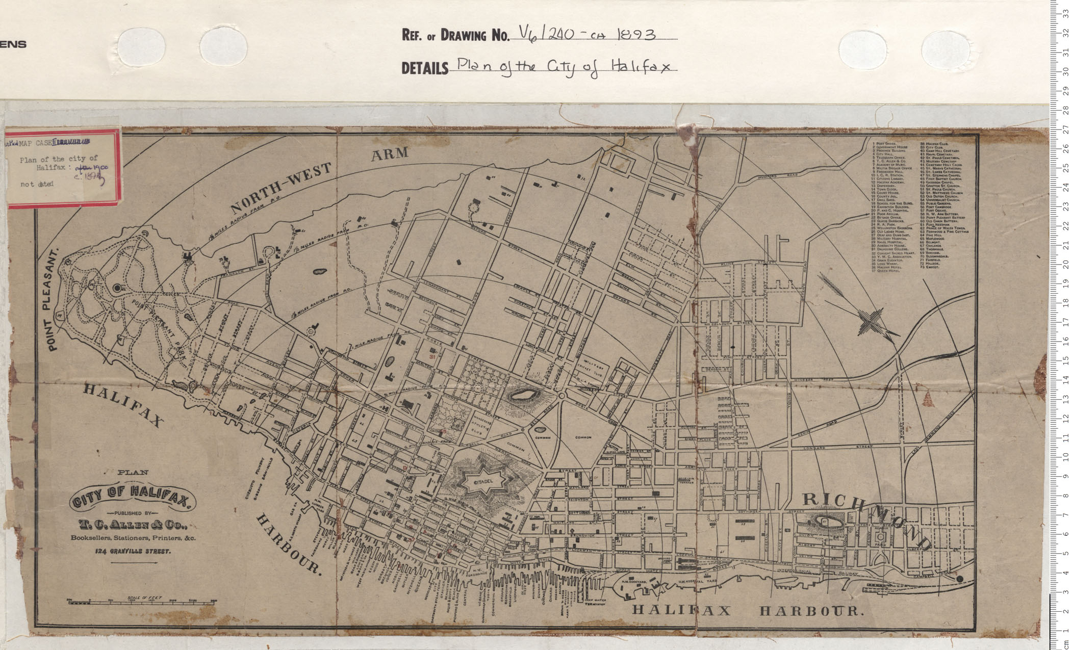
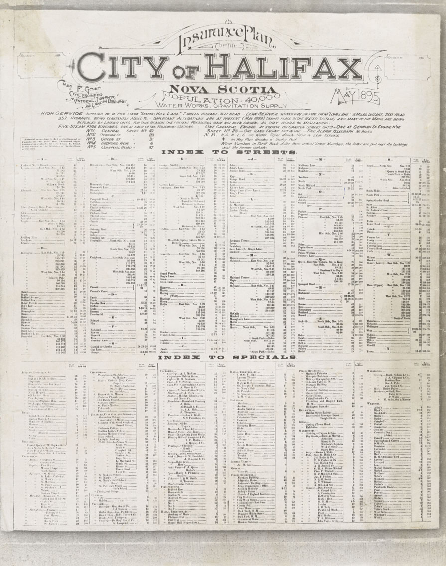
Plan of the city of Halifax
Date: 1893
Reference: Nova Scotia Archives Map Collection: V6 240 Halifax, Nova Scotia
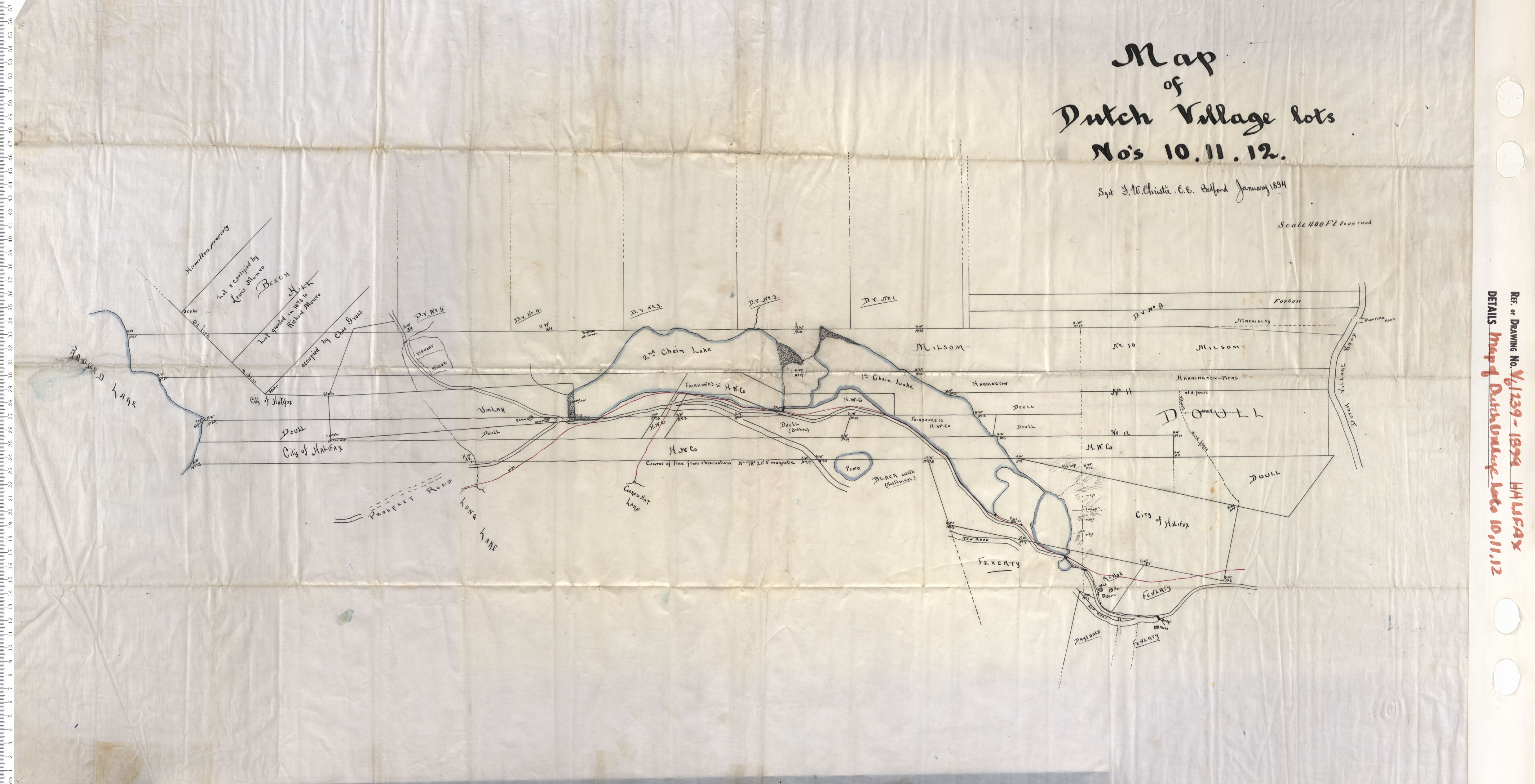
Map of Dutch village Lots 10, 11, 12
Date: 1894
Reference: Nova Scotia Archives Map Collection: V6 239 Halifax, Nova Scotia
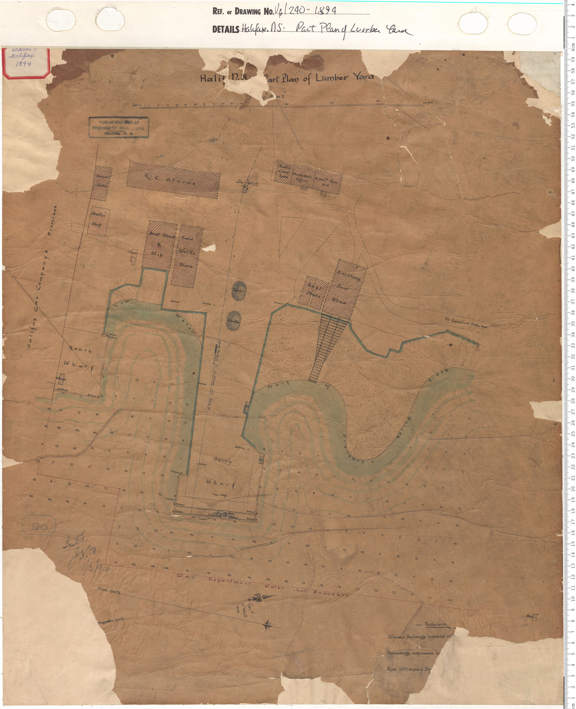
Part plan of Lumber Yard
Date: 1894
Reference: Nova Scotia Archives Map Collection: V6 240 Halifax, Nova Scotia
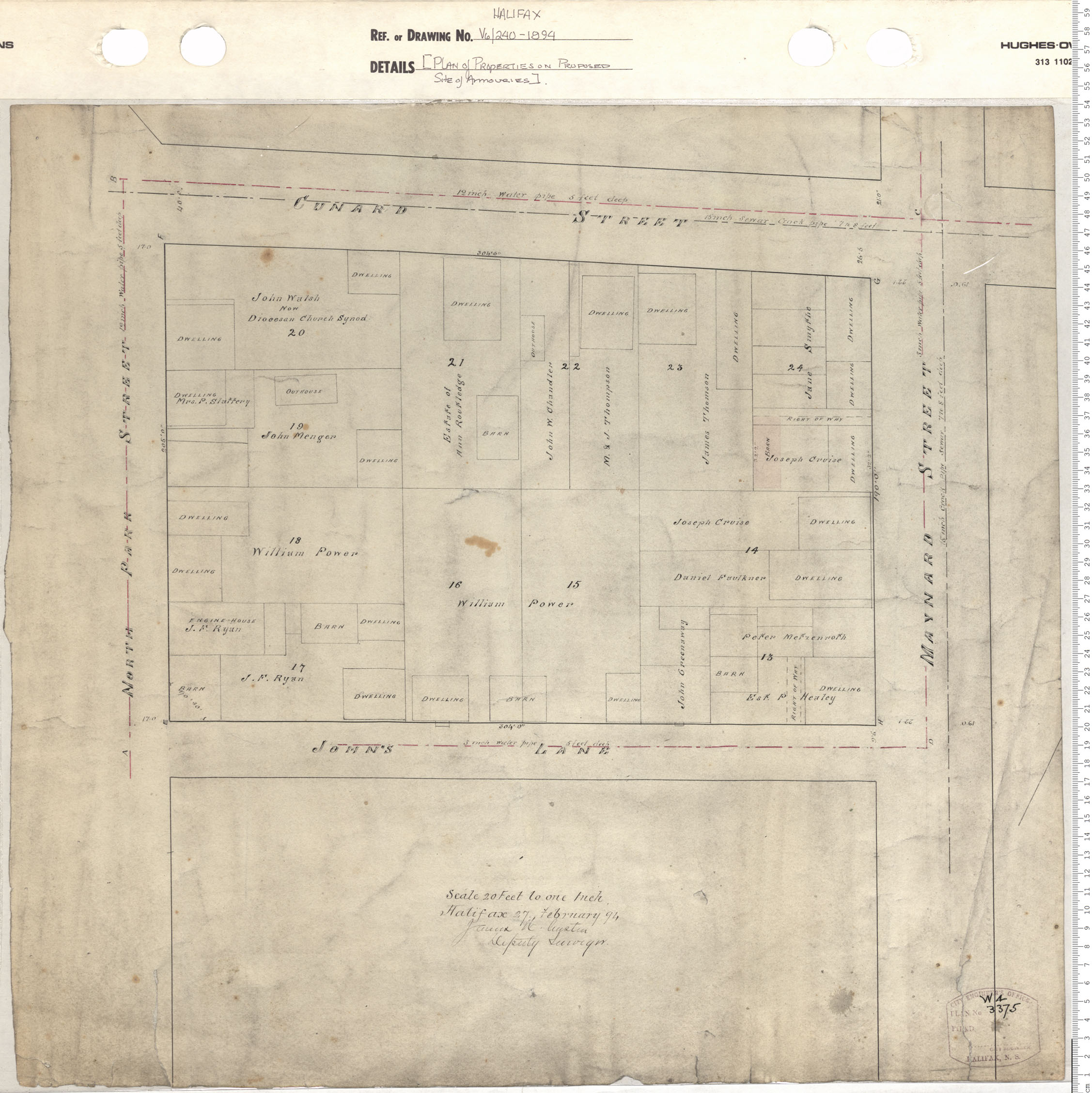
Plan of Properties on Proposed Site of Armouries
Date: 1894
Reference: Nova Scotia Archives Map Collection: V6 240 Halifax, Nova Scotia

Plan of Property of the Deaf and Dumb Institution
Date: 1894
Reference: Nova Scotia Archives Map Collection: V6 240 Halifax, Nova Scotia
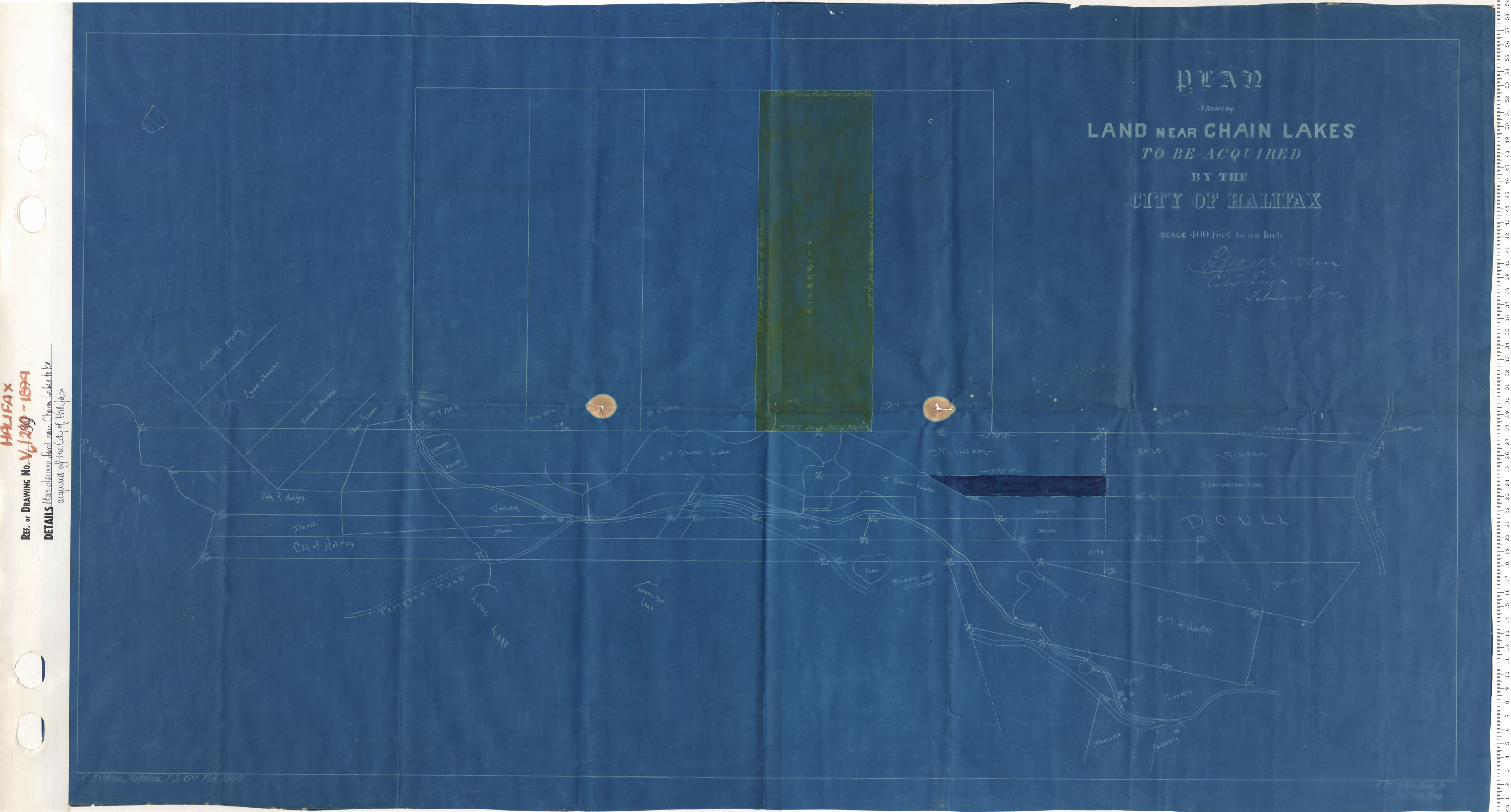
Plan Showing Land near Chain Lakes to be aquired by the City of Halifax
Date: 1894
Reference: Nova Scotia Archives Map Collection: V6 239 Halifax, Nova Scotia

Plan Property of Steven's Estate
Date: 1895
Reference: Nova Scotia Archives Map Collection: V6 240 Halifax, Nova Scotia
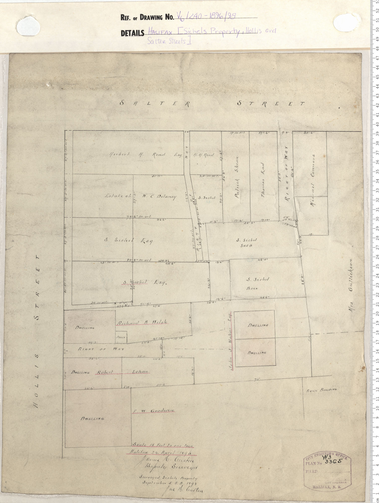
Sichel's Property, Hollis and Salter Streets
Date: 1896/1898
Reference: Nova Scotia Archives Map Collection: V6 240 Halifax, Nova Scotia

Design of the Subdivion of Old the Exbition Ground
Date: 1898
Reference: Nova Scotia Archives Map Collection: V6 240 Halifax, Nova Scotia
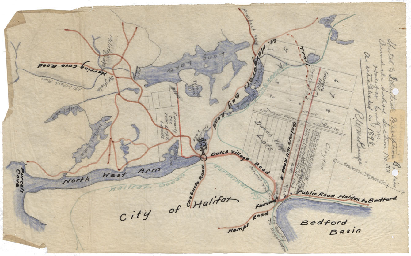
Maps: Halifax County 1898 Armdale School Boundaries
Date: 1898
Reference: Nova Scotia Archives Map Collection: F/220 - 1890
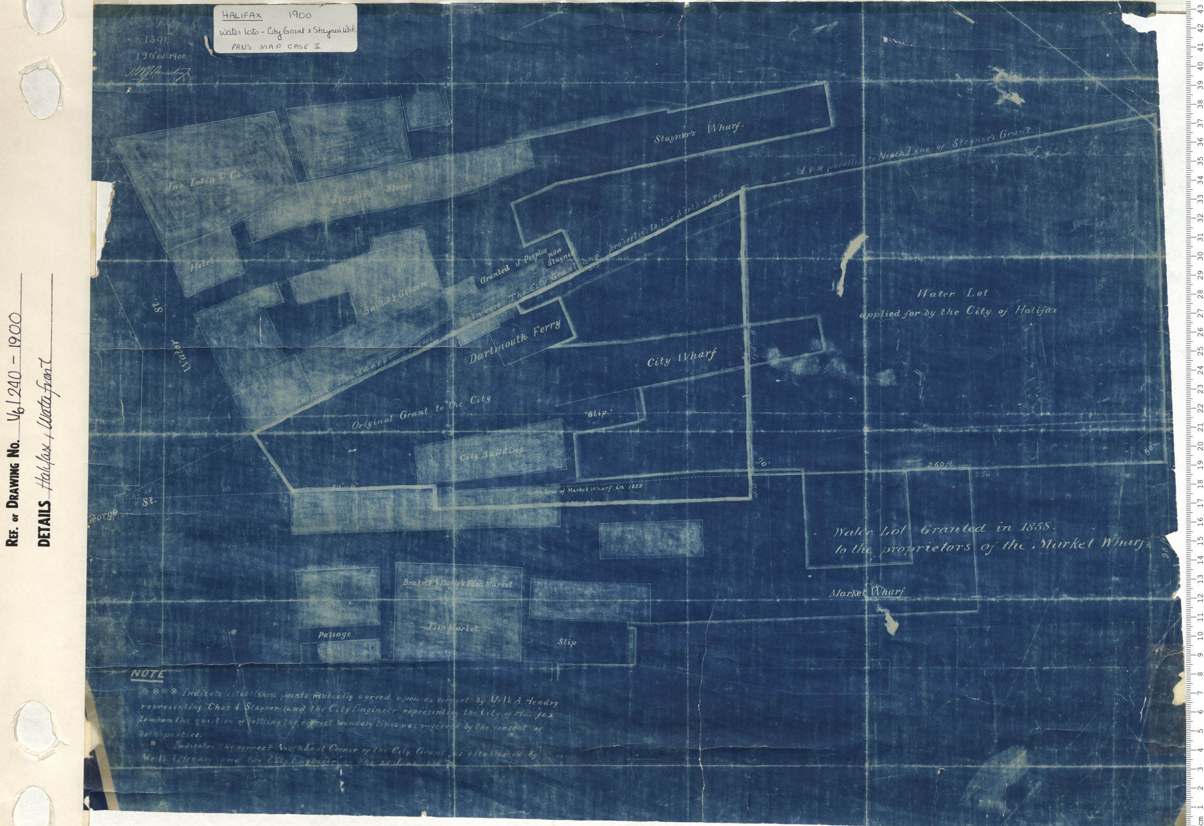
Halifax, Waterfront
Date: 1900
Reference: Nova Scotia Archives Map Collection: V6 240 Halifax, Nova Scotia
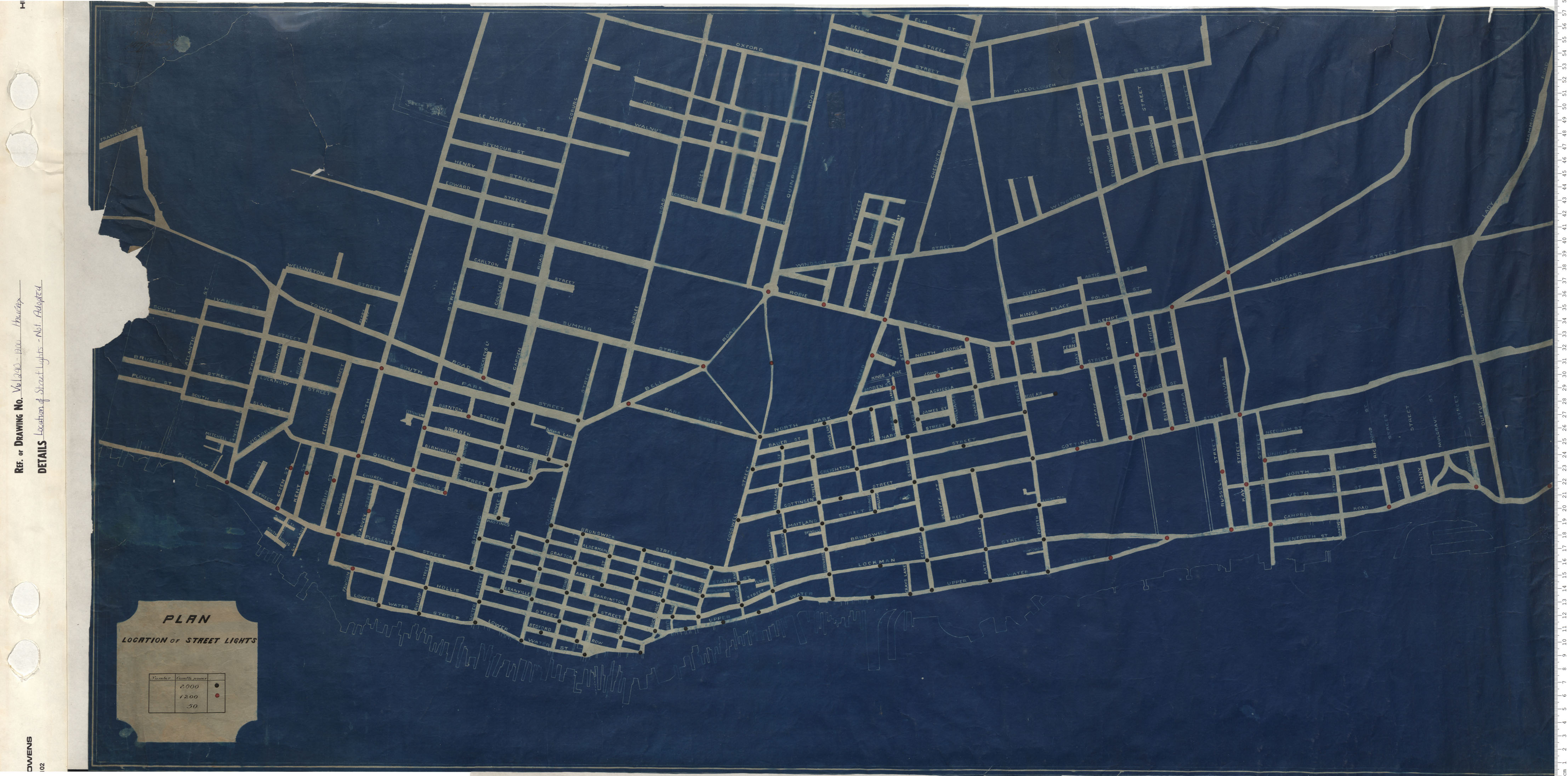
Location of Street Lights Not Adopted
Date: 1900
Reference: Nova Scotia Archives Map Collection: V6 240 Halifax, Nova Scotia
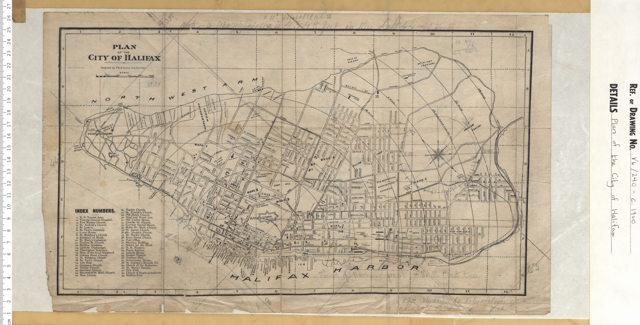
Plan of the City of Halifax
Date: 1900
Reference: Nova Scotia Archives Map Collection: V6 240 Halifax, Nova Scotia