Nova Scotia Archives
Historical Maps of Nova Scotia
Results 181 to 195 of 207 from your search: F/230
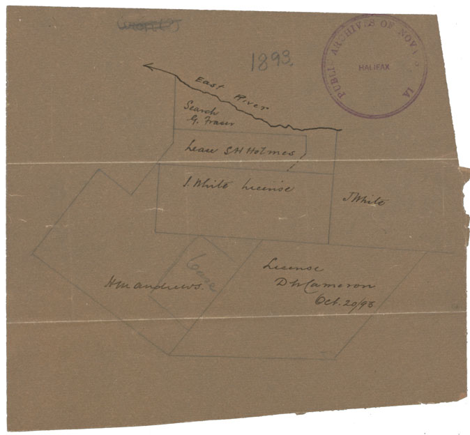
Leases East River
Date: 20 October 1893
Reference: Nova Scotia Archives Map Collection: F/230 - 1893
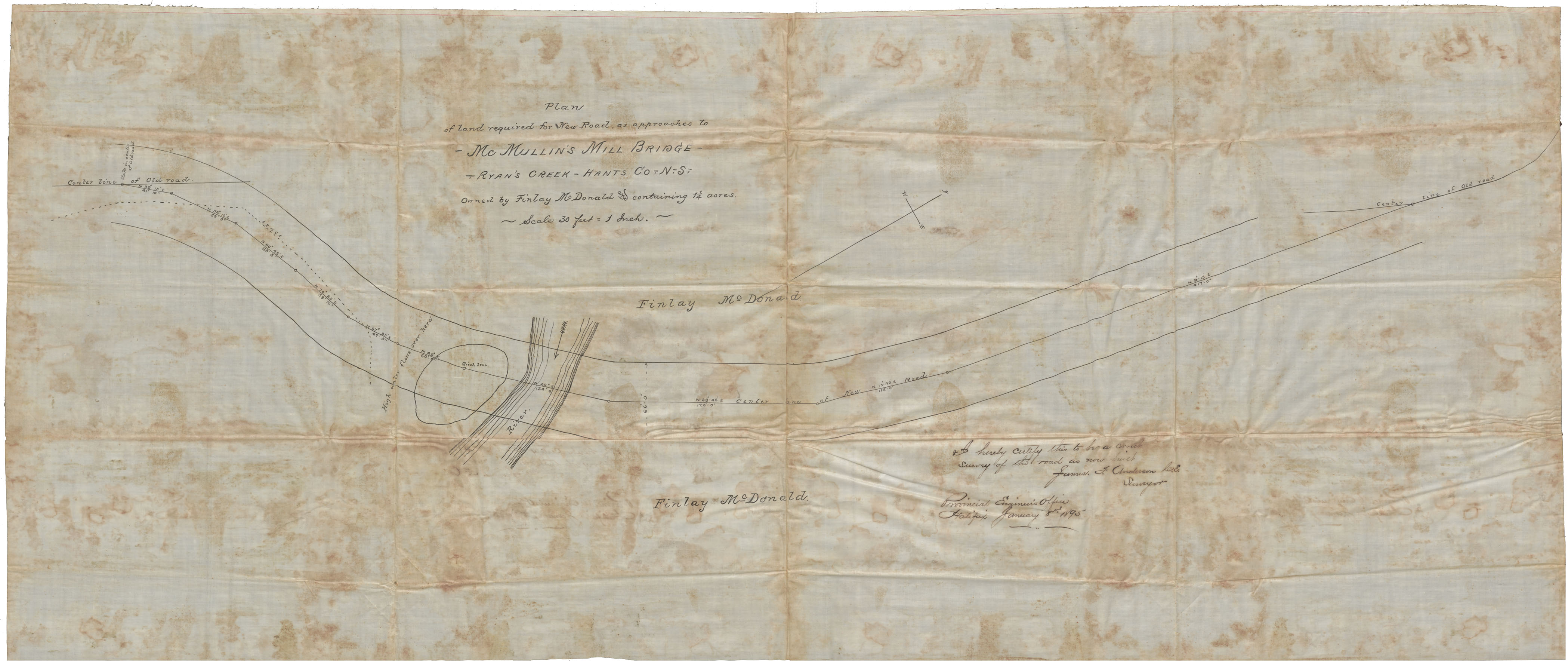
Plan for Land Required for New Road as approaches to McMullon's Mill Bridge, Ryan's Creek, Hants County NS owned by Finlay McDonald and containing 11/4 acres
Date: 8 January 1895
Reference: Nova Scotia Archives Map Collection: F/230 - 1895
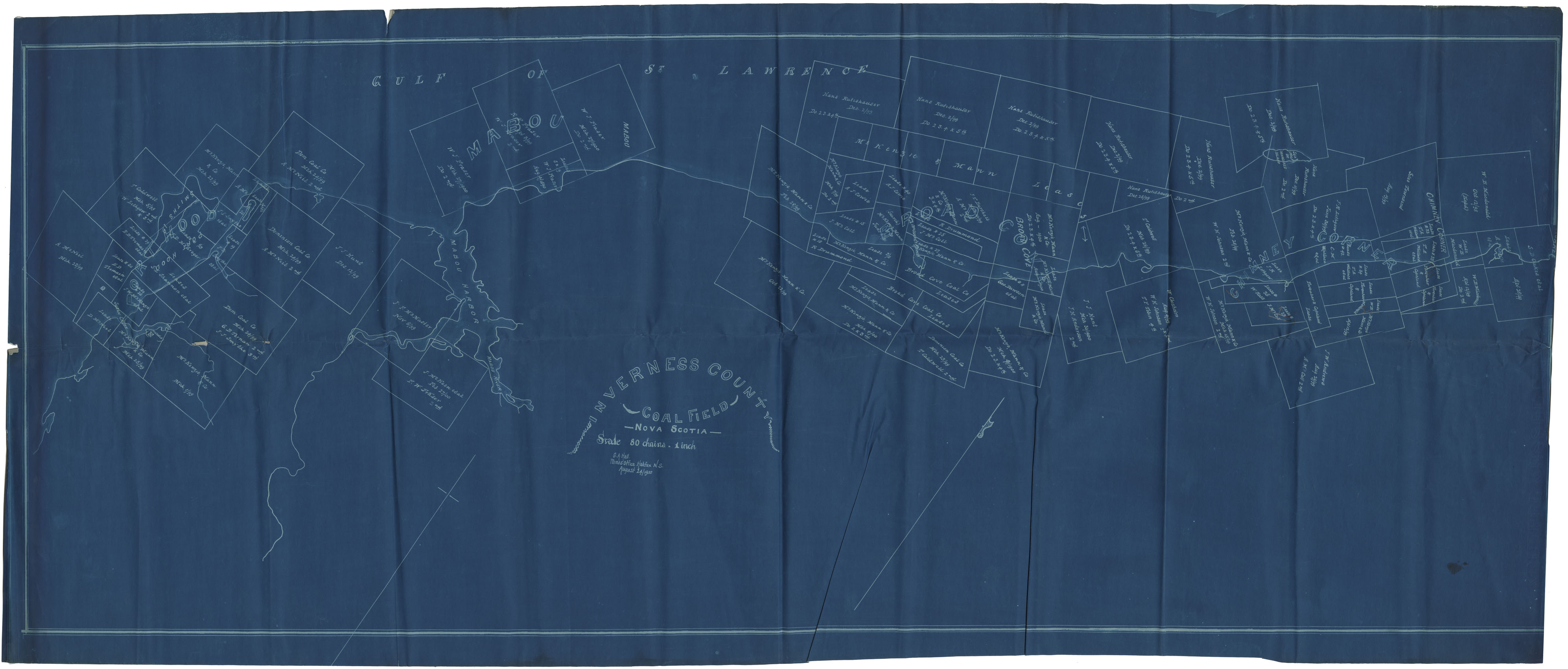
Inverness County Coal Field
Date: 24 August 1900
Reference: Nova Scotia Archives Map Collection: F/230 - 1900
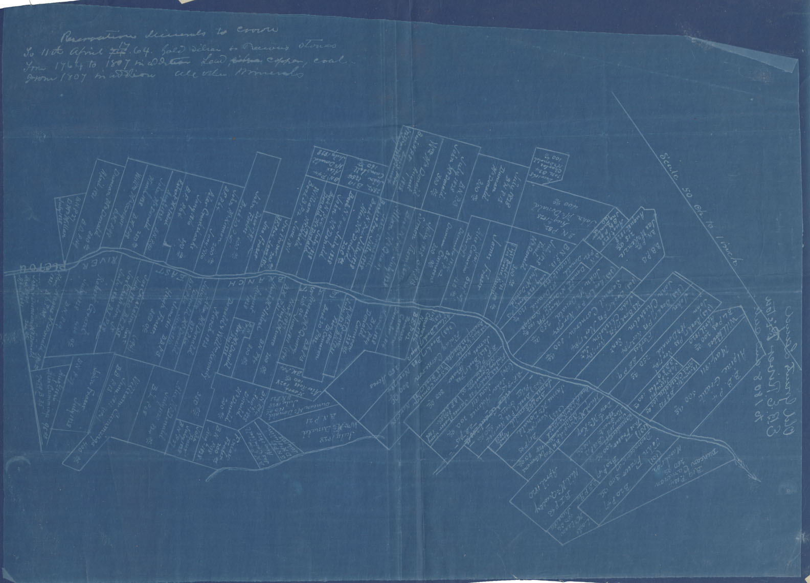
Old Grants East Branch of East River Pictou Co
Date: 1901
Reference: Nova Scotia Archives Map Collection: F/230 - 1901
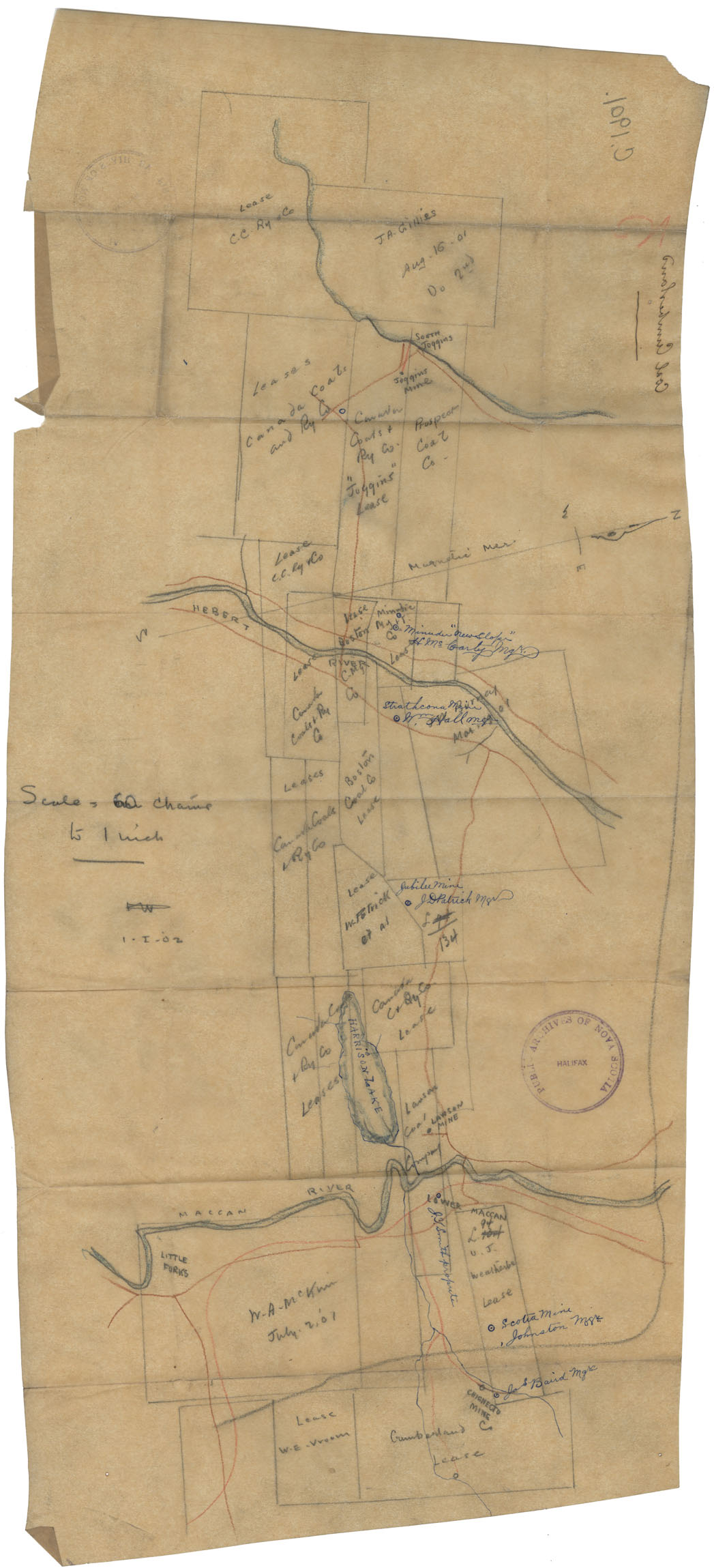
Coal Leases Cumberland Co
Date: 1 January 1902
Reference: Nova Scotia Archives Map Collection: F/230 - 1902
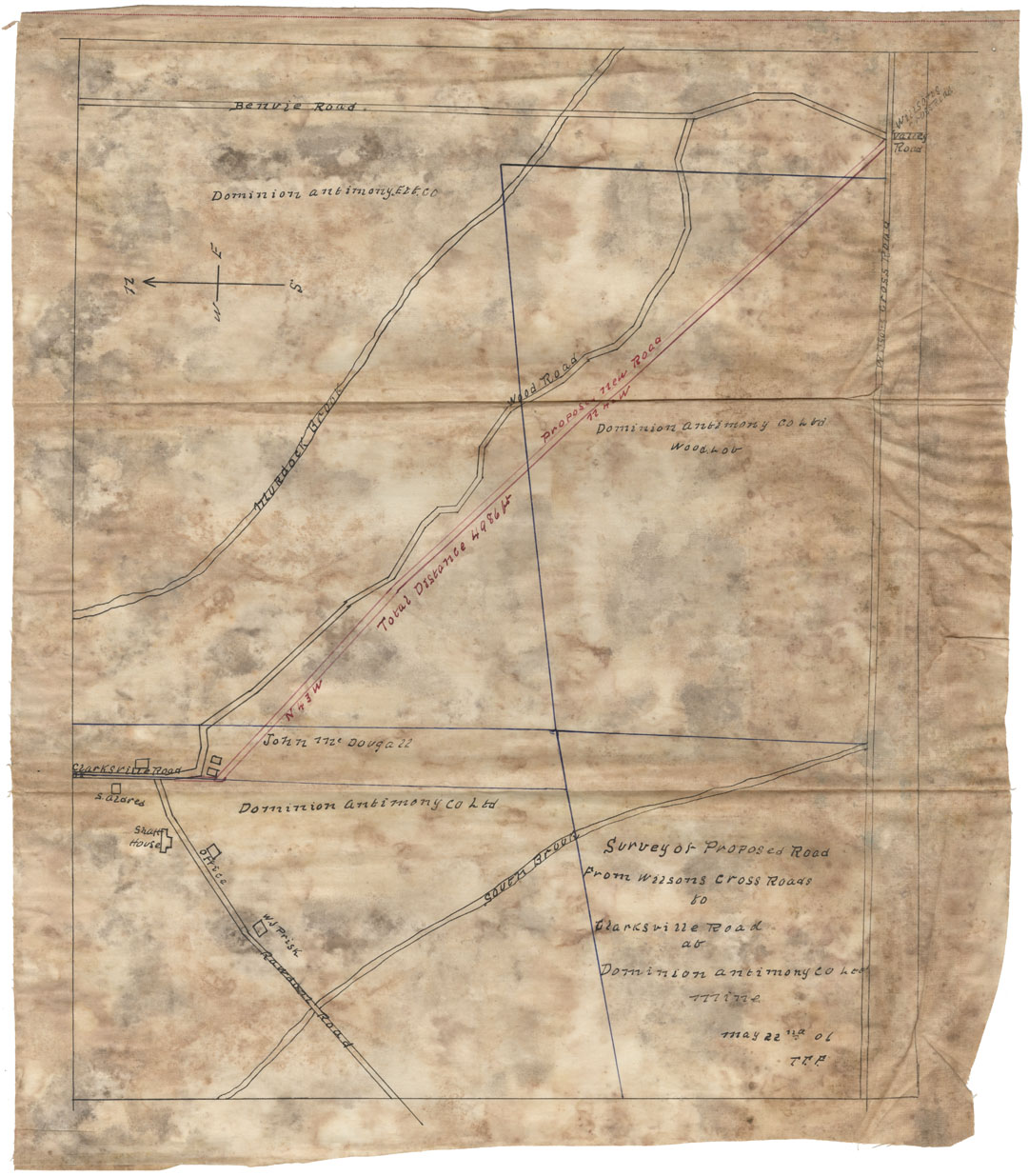
Proposed Road from Wilson's Cross Roads to Clarkesville Road at Dominion Antimony County Ltd Mine May 22nd 06 TTF Colchester Co
Date: 22 May 1906
Reference: Nova Scotia Archives Map Collection: F/230 - 1906
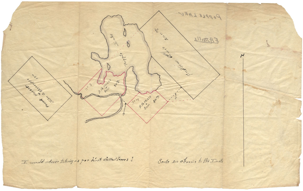
Tracing showing Land surveyed under A.D.Mills & Son application c.1909
Date: 1909
Reference: Nova Scotia Archives Map Collection: F/230 - 1909
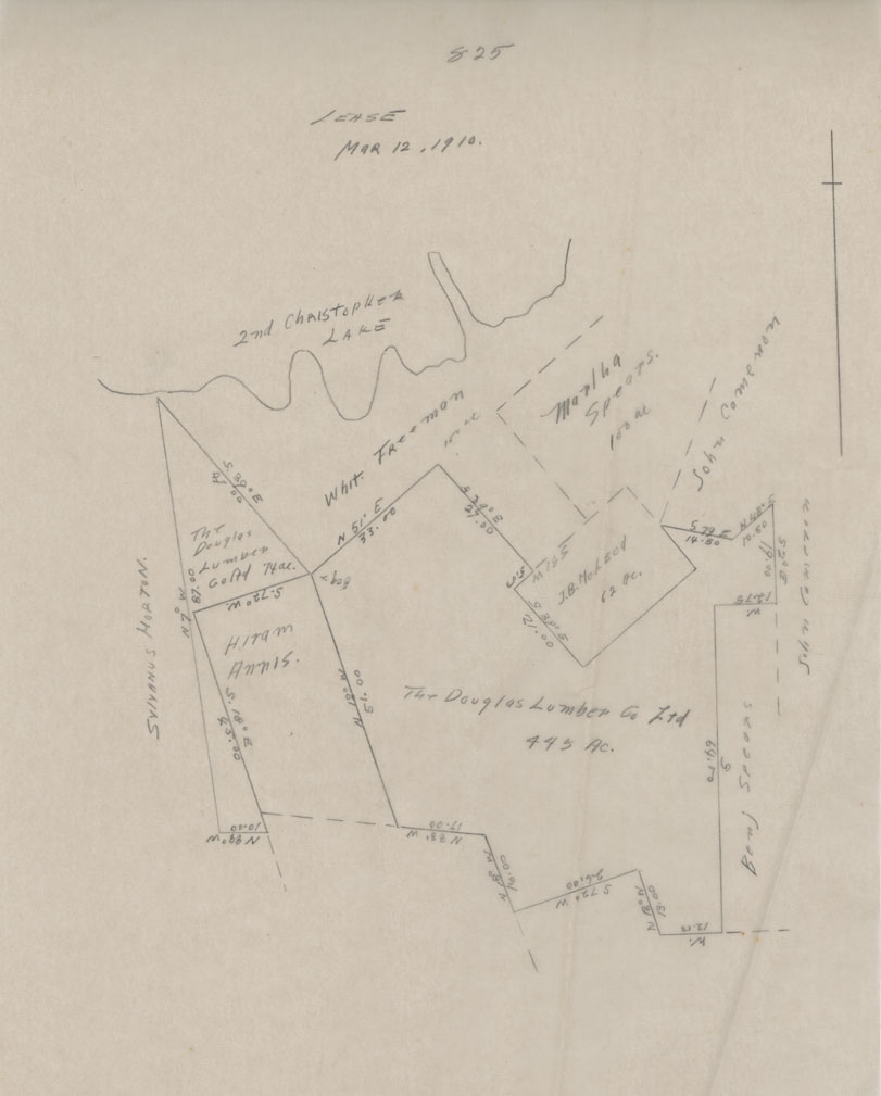
[Sketch Lease Douglas Lumber Company Ltd] Mar 12, 1910
Date: 12 March 1910
Reference: Nova Scotia Archives Map Collection: F/230 - 1910
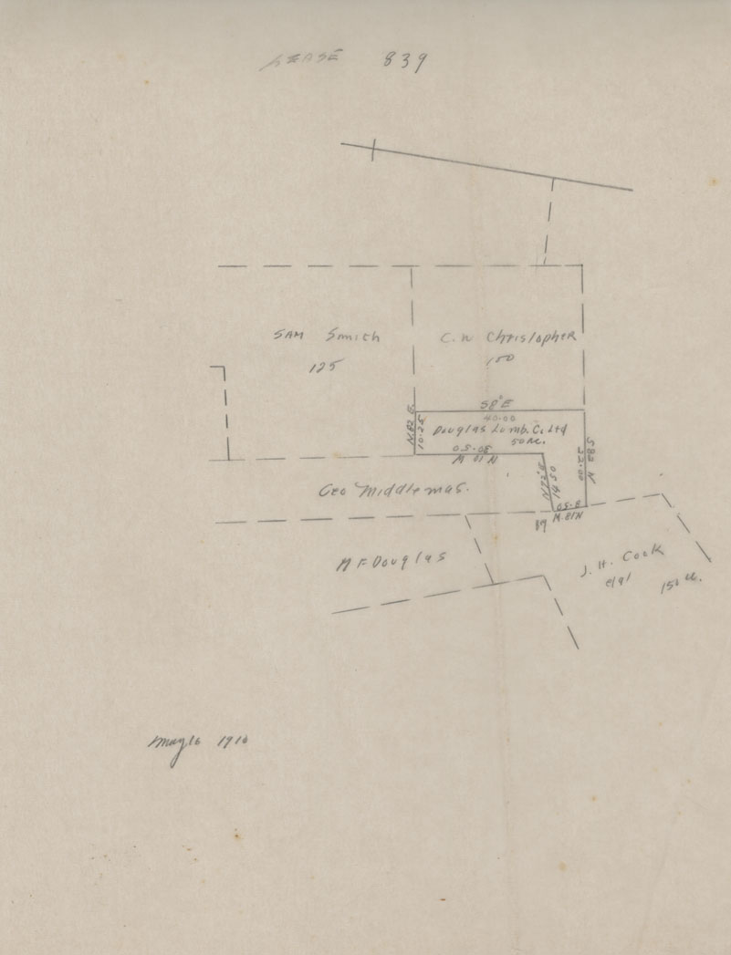
Sketch Lease No. 839 Queens County
Date: 16 May 1910
Reference: Nova Scotia Archives Map Collection: F/230 - 1910
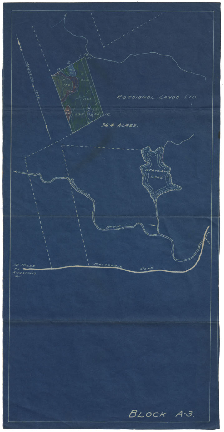
A.D.Mills Property Annapolis County 1912
Date: 29 November 1912
Reference: Nova Scotia Archives Map Collection: F/230 - 1912
Plan of Property of A.D.Mills & Son Annapolis Royal
Date: 29 November 1912
Reference: Nova Scotia Archives Map Collection: F/230 - 1912
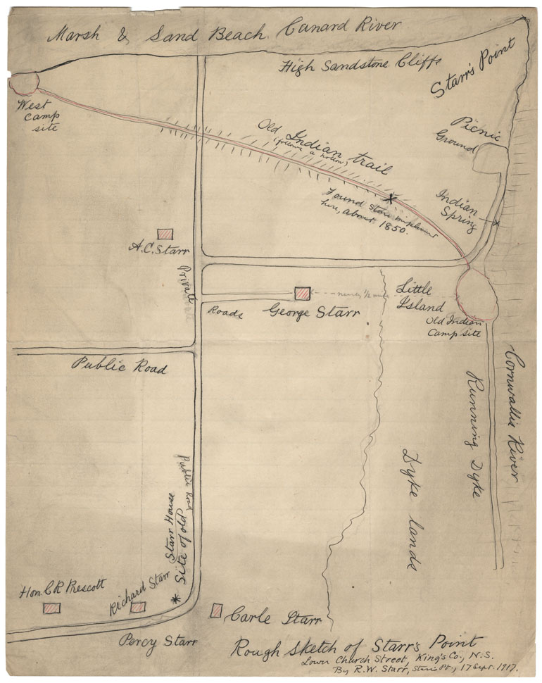
Rough Sketch of Starr'sa Point, Lower Church St, Kings County NS By R.W.Starr, Starr's Point 17 Sept 1917
Date: 17 September 1917
Reference: Nova Scotia Archives Map Collection: F/230 - 1917
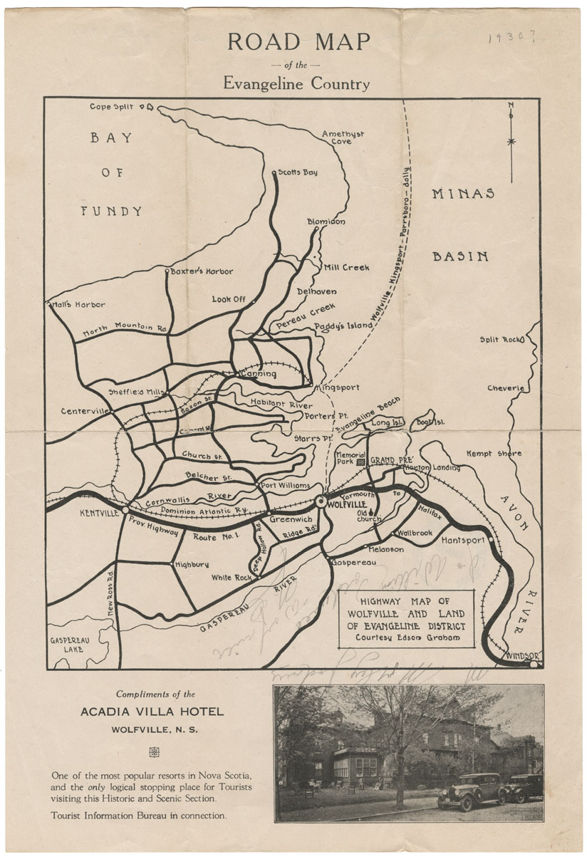
Road Map of the Evangeline Country, Highway Map of Wolfeville and Land of Evangeline District
Date: 1930
Reference: Nova Scotia Archives Map Collection: F/230 - 1930
