Nova Scotia Archives
Historical Maps of Nova Scotia
Results 541 to 555 of 827 from your search: 1900
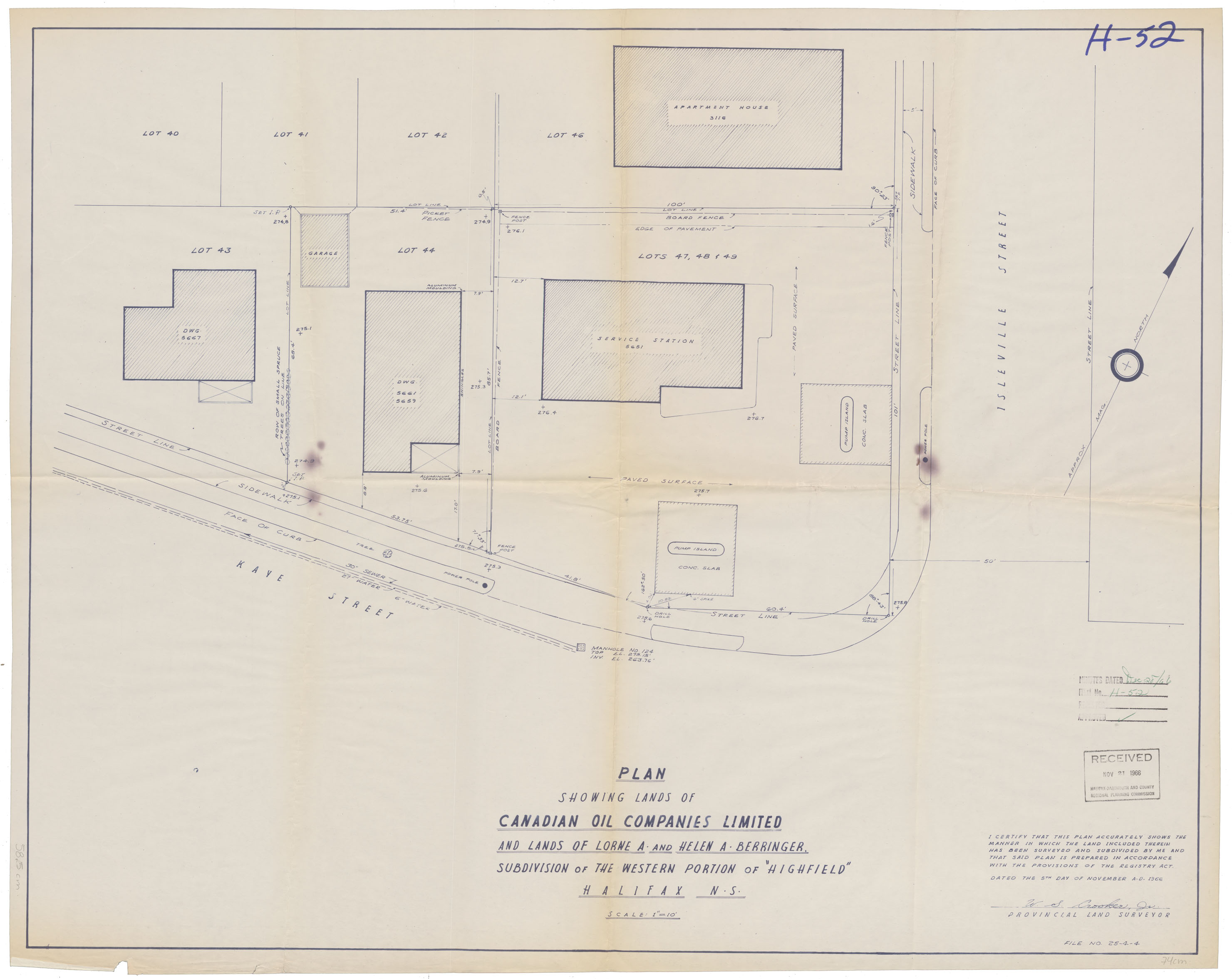
Kaye & Isleville St. "Highfield"
Date: 5 November 1966
Reference: Nova Scotia Archives Map Collection: F/240 - 1966
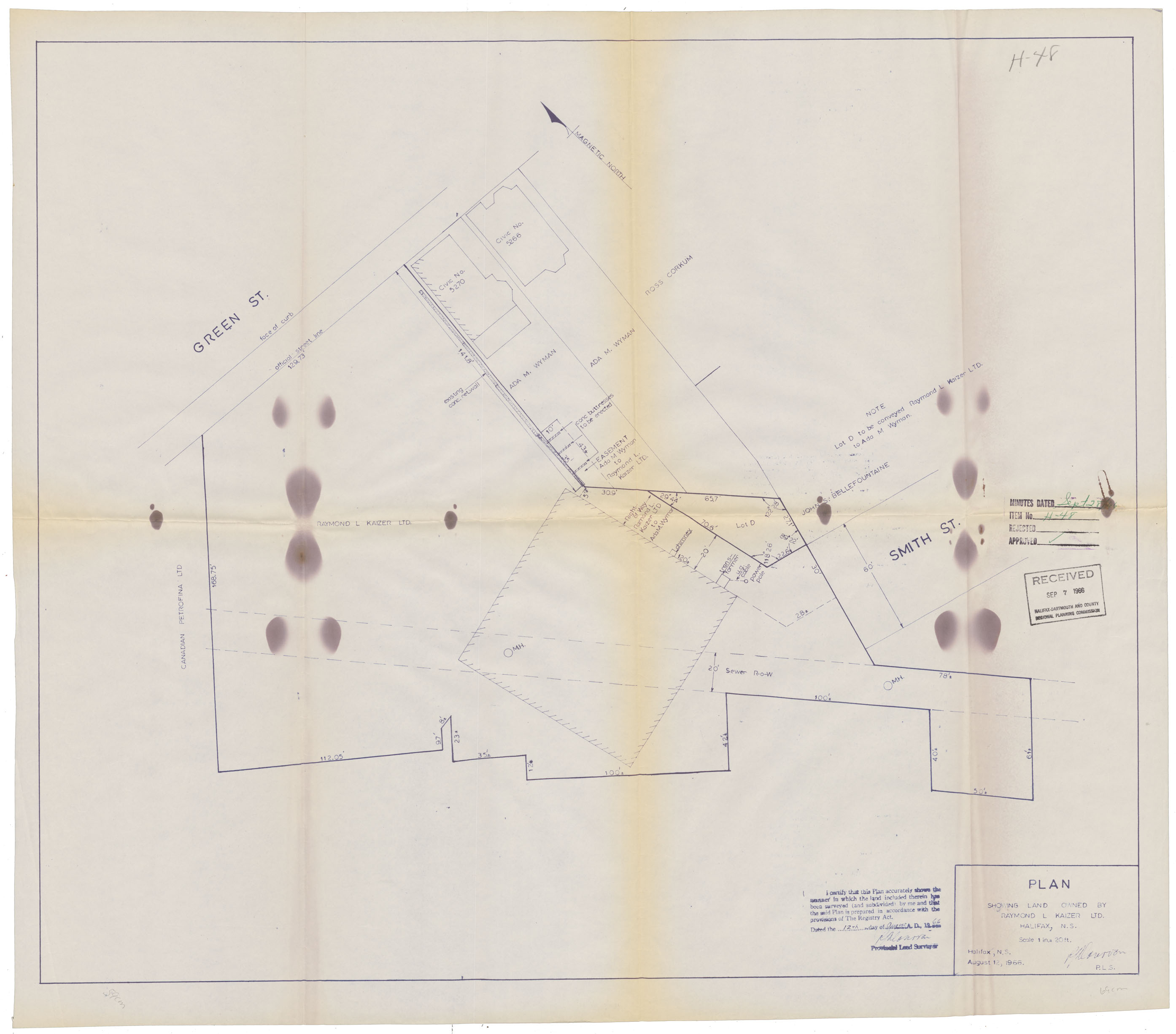
Plan showing Land owned by Raymond L. Kaizer Ltd. Halifax, N.S.
Date: 12 August 1966
Reference: Nova Scotia Archives Map Collection: F/240 - 1966
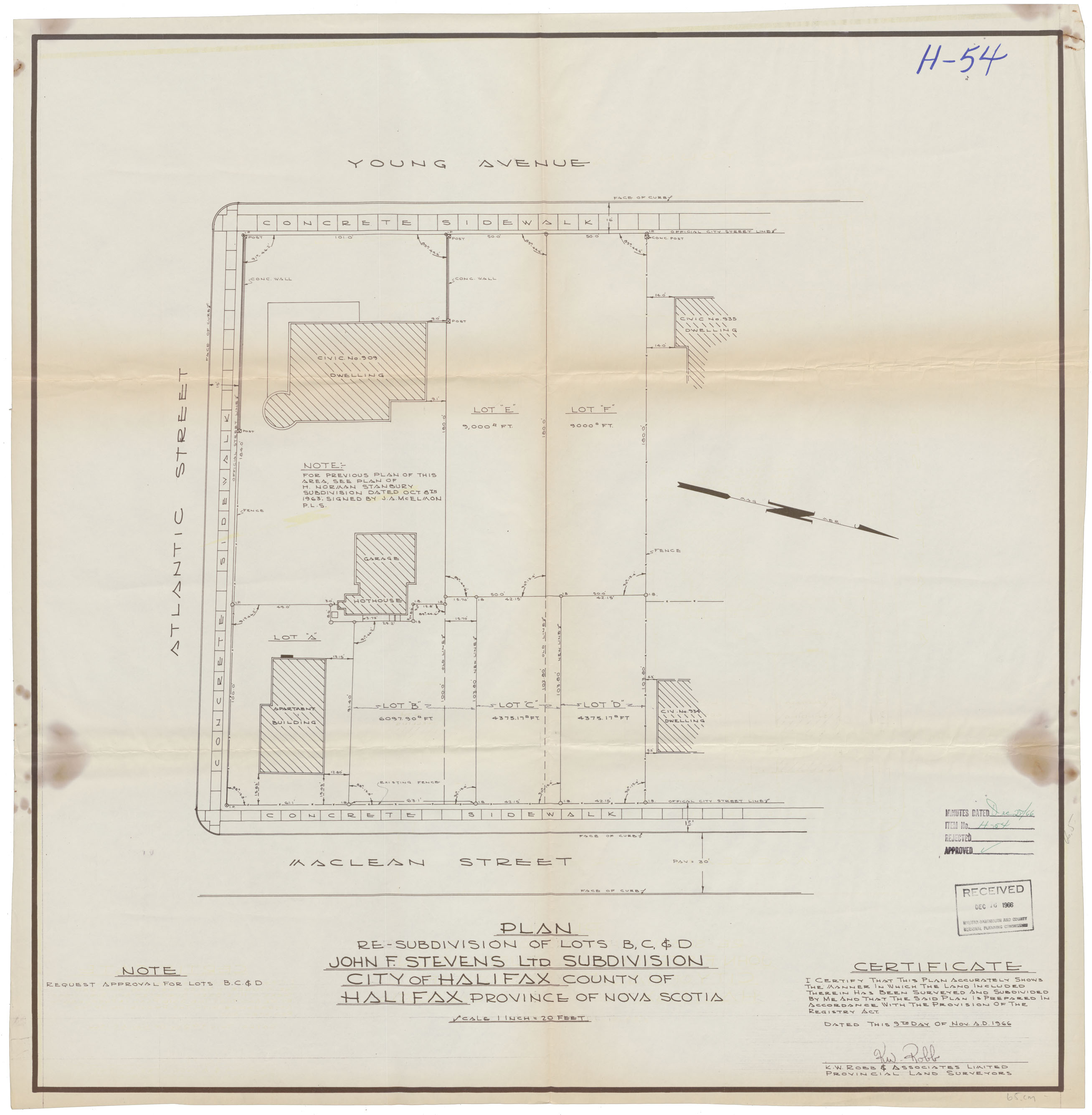
Resubdivision of Lots B, C & D MacLean St
Date: 9 November 1966
Reference: Nova Scotia Archives Map Collection: F/240 - 1966
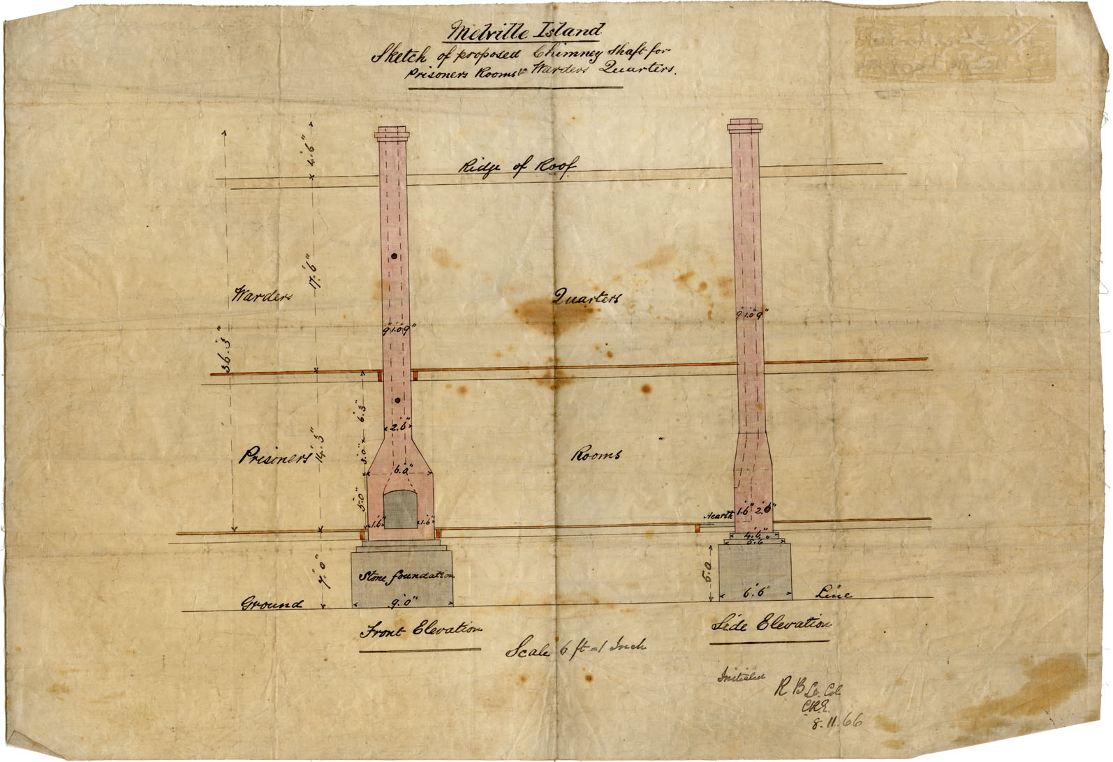
Melville Island Sketch of proposed Chimney Shaft for Prisoners Room & Warden's Quarters
Date: 8 November 1966
Reference: Nova Scotia Archives Map Collection: F/240 - 1866
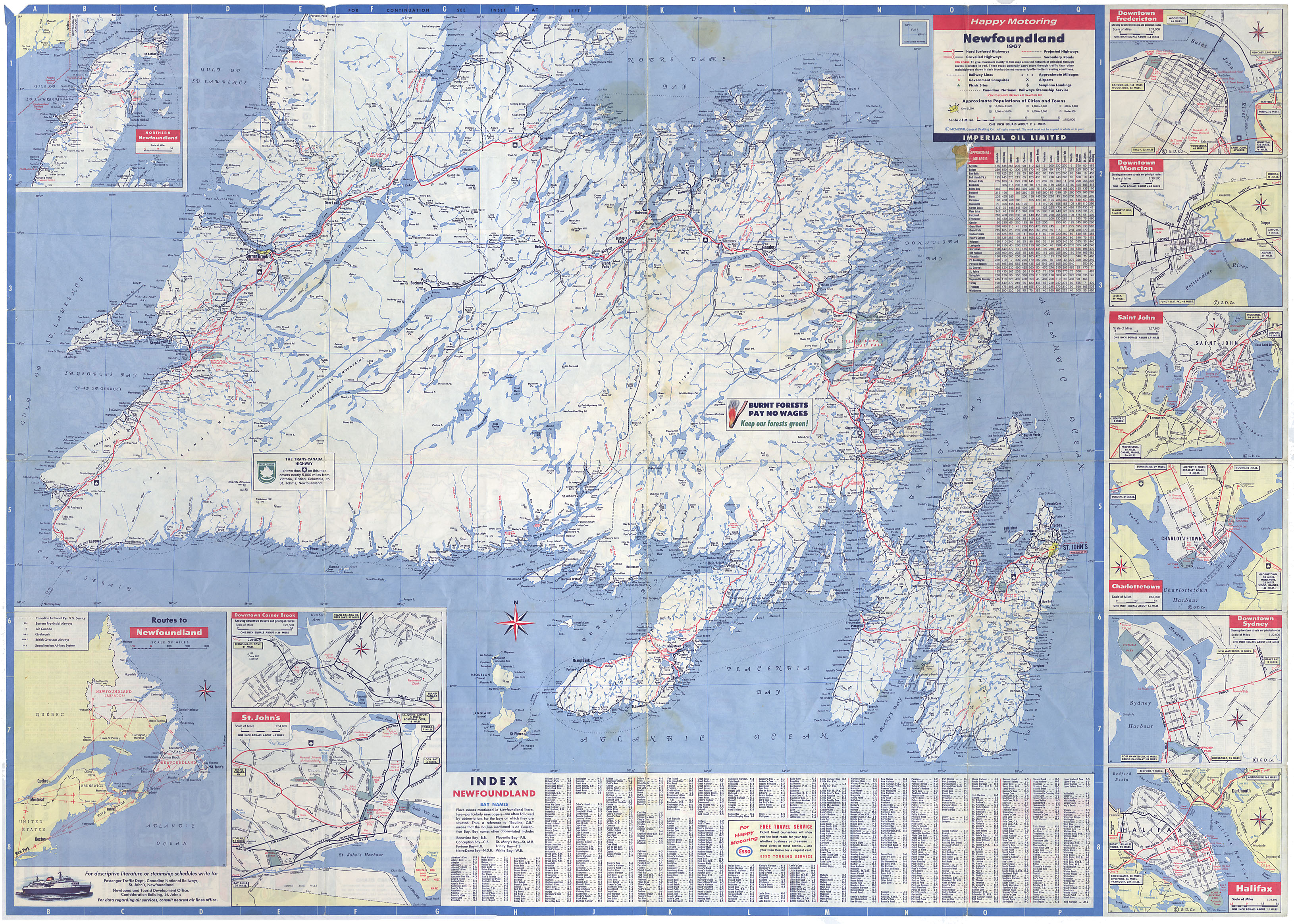
New Brunswick Nova Scotia prince Edward Island also Newfoundland
Date: 1967
Reference: Nova Scotia Archives Map Collection: F/200 - 1967

Electoral map of the Province of Nova Scotia
Date: 1967
Reference: Nova Scotia Archives Map Collection: F/202 - 1967
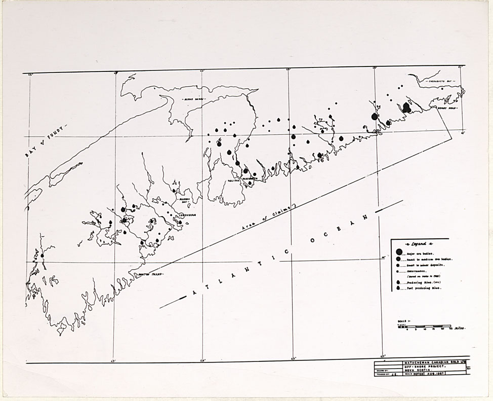
Photography Map Off-shore project, NS
Date: 1967
Reference: Nova Scotia Archives Map Collection: F/202 - 1967
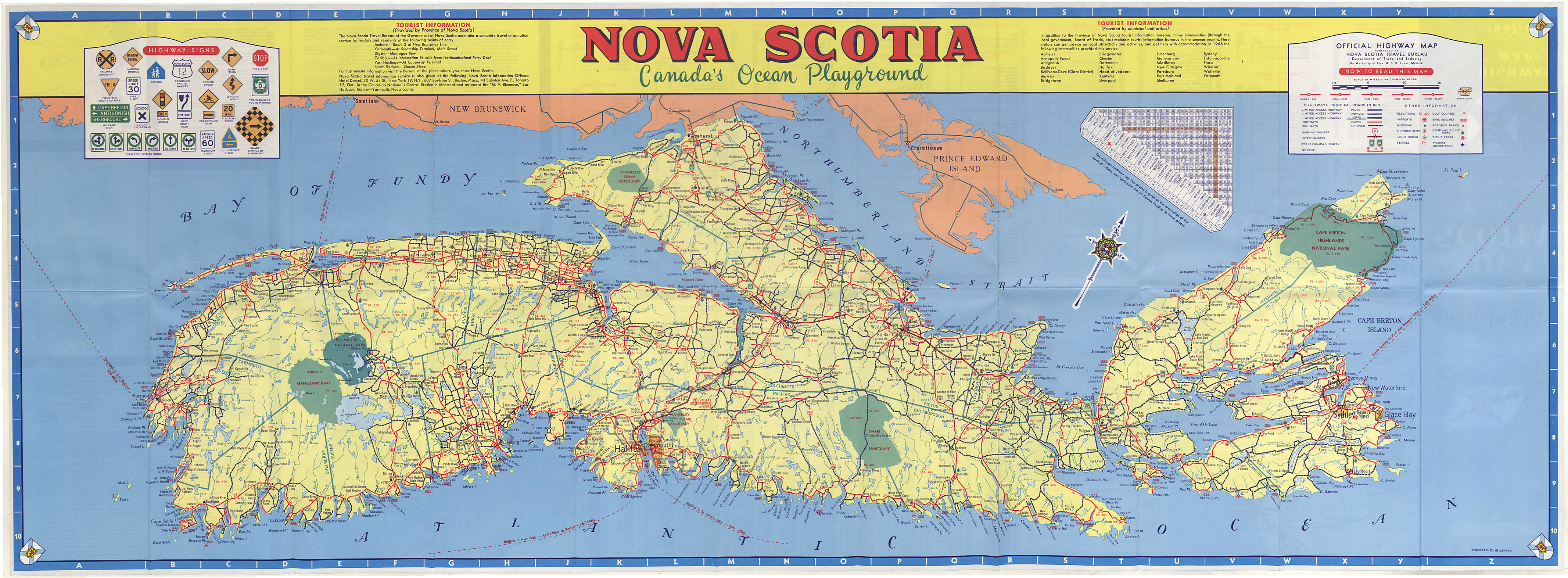
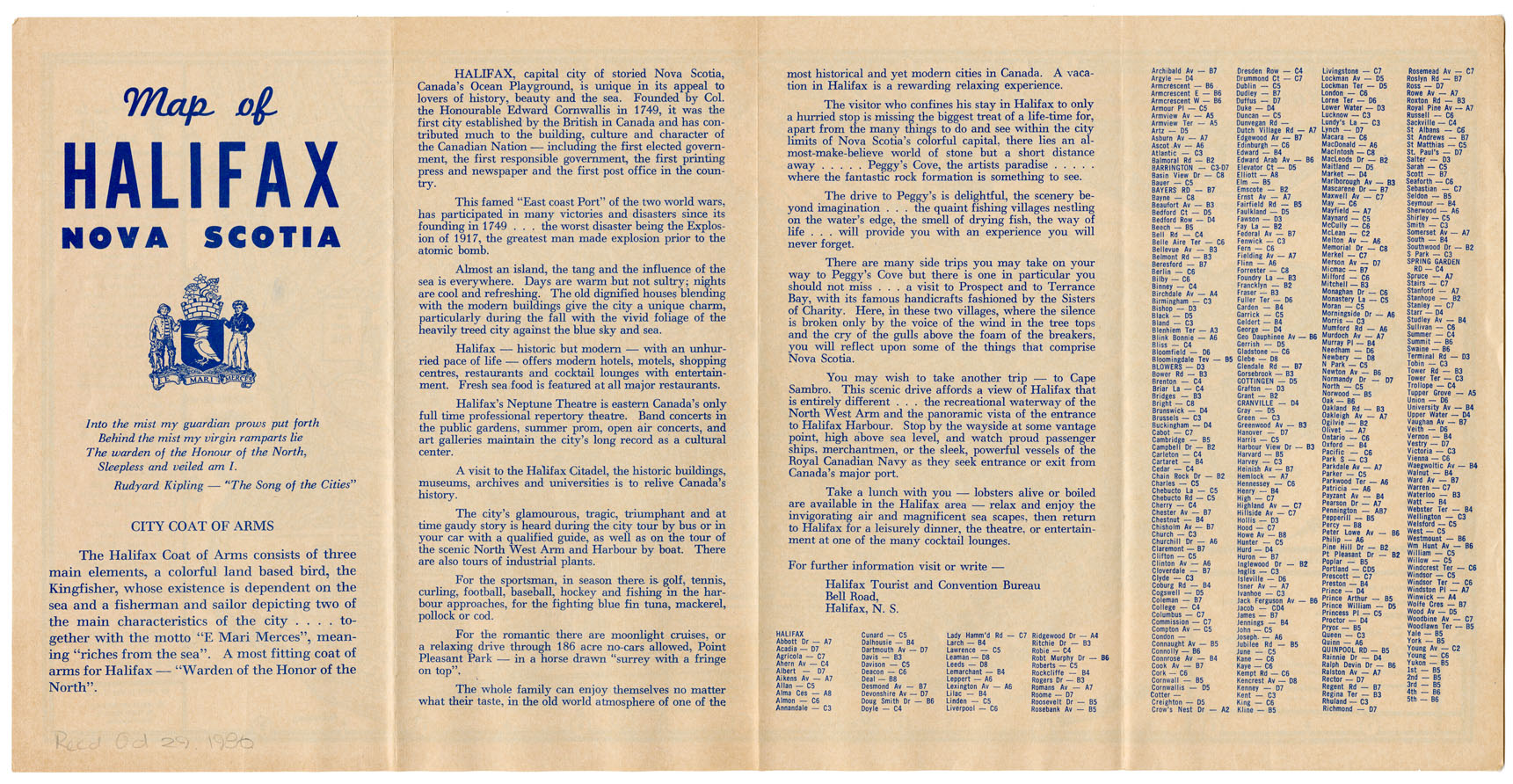
Nova Scotia Canada's Ocean Playground Highway Map 1967/68
Date: 1967
Reference: Nova Scotia Archives Map Collection: F/202 - 1968
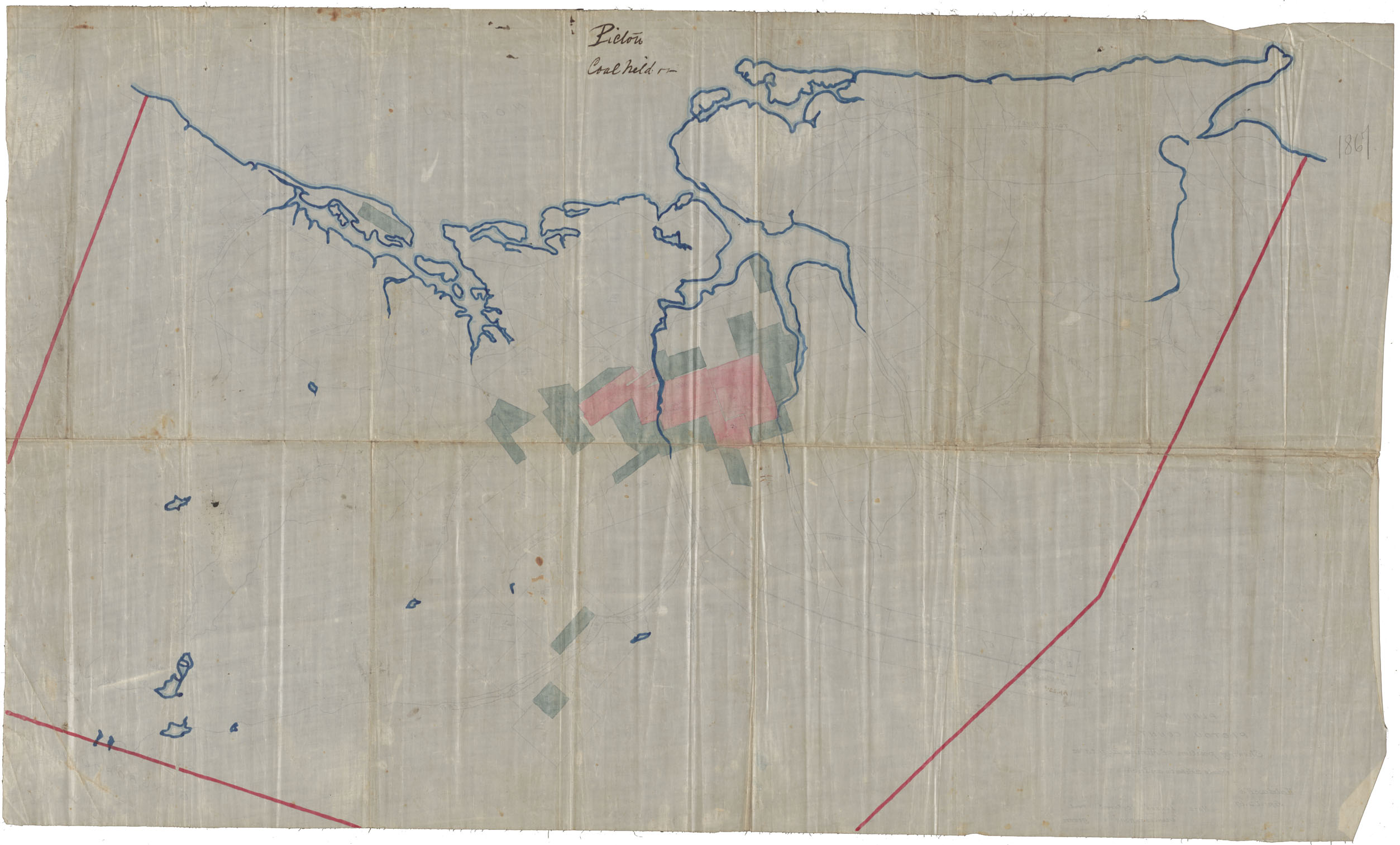
Plan of Pictou County Showing position of Mining Rights 2
Date: 2 April 1967
Reference: Nova Scotia Archives Map Collection: F/230 - 1867
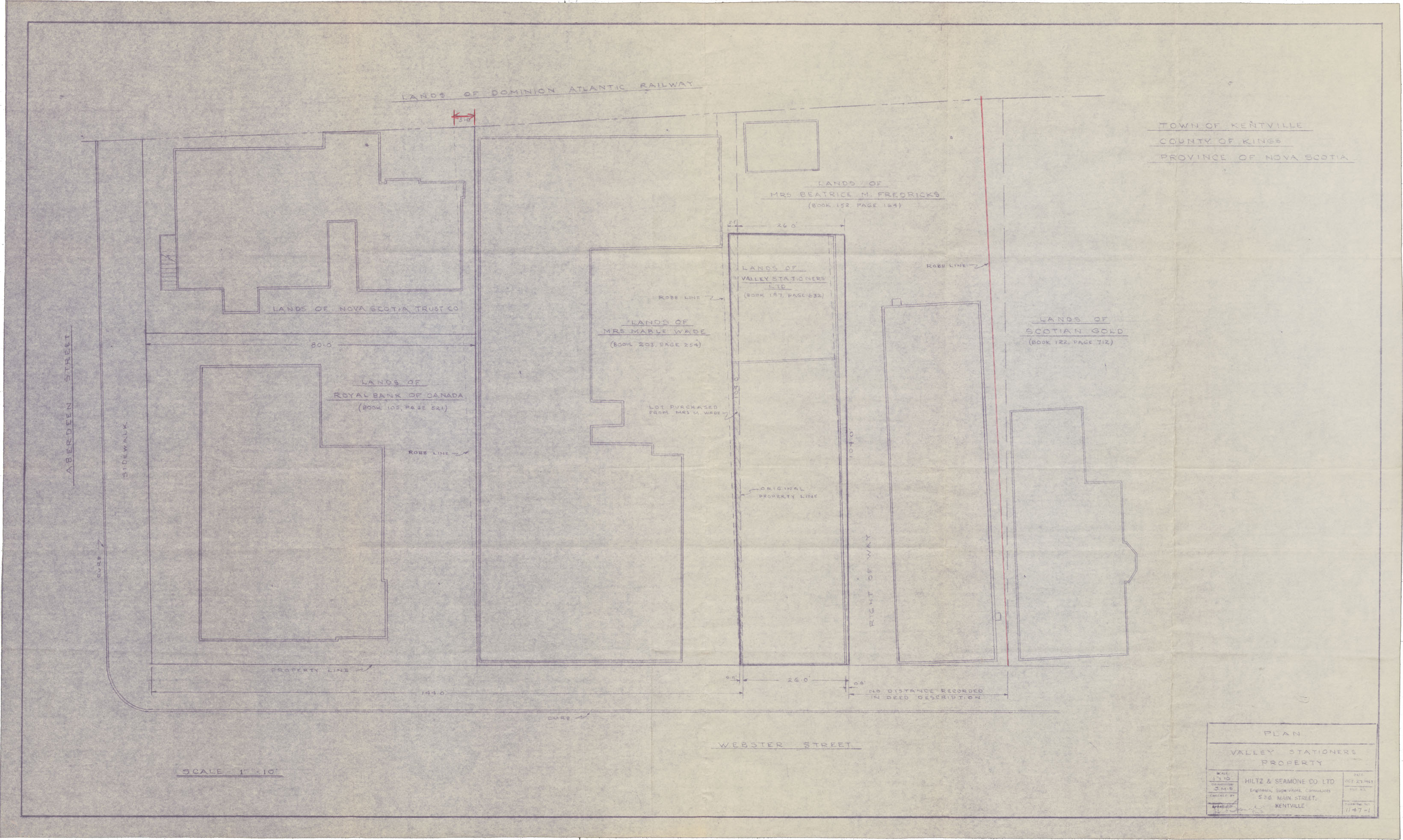
Town of Kentville Plan-Valley Stationers Property
Date: 27 October 1967
Reference: Nova Scotia Archives Map Collection: F/239 - 1967
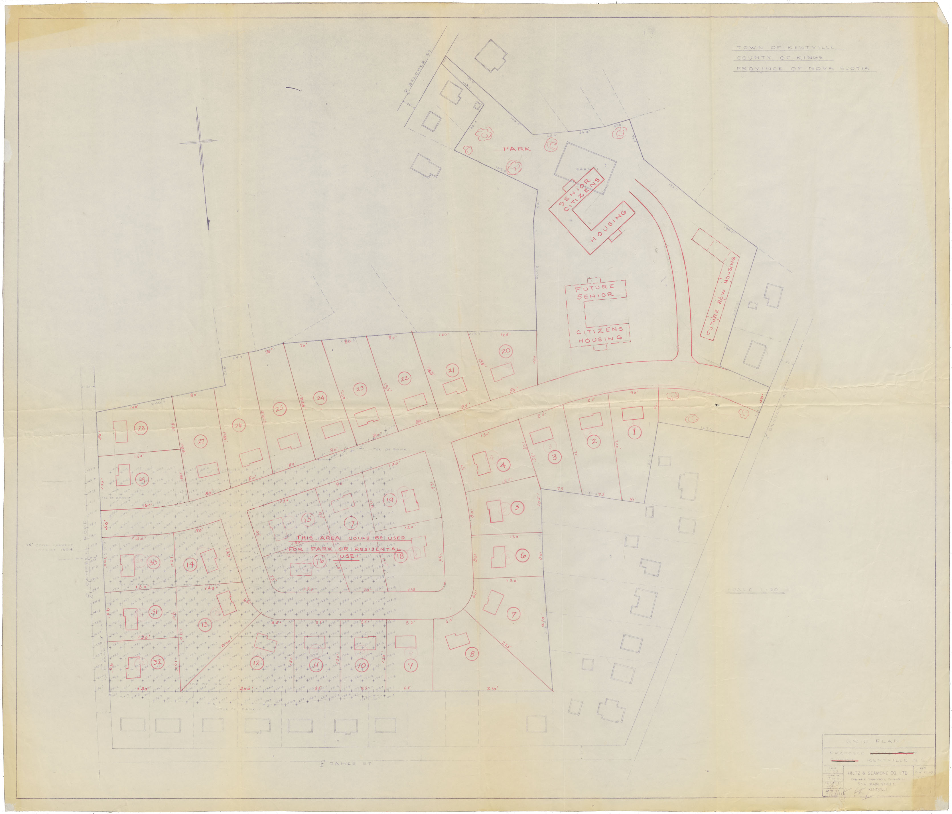
Town of Kentville, Kings County (Area bounded by Campbell Road, James Street, Oakdene Ave & Belcher Street
Date: 27 June 1967
Reference: Nova Scotia Archives Map Collection: F/239 - 1967
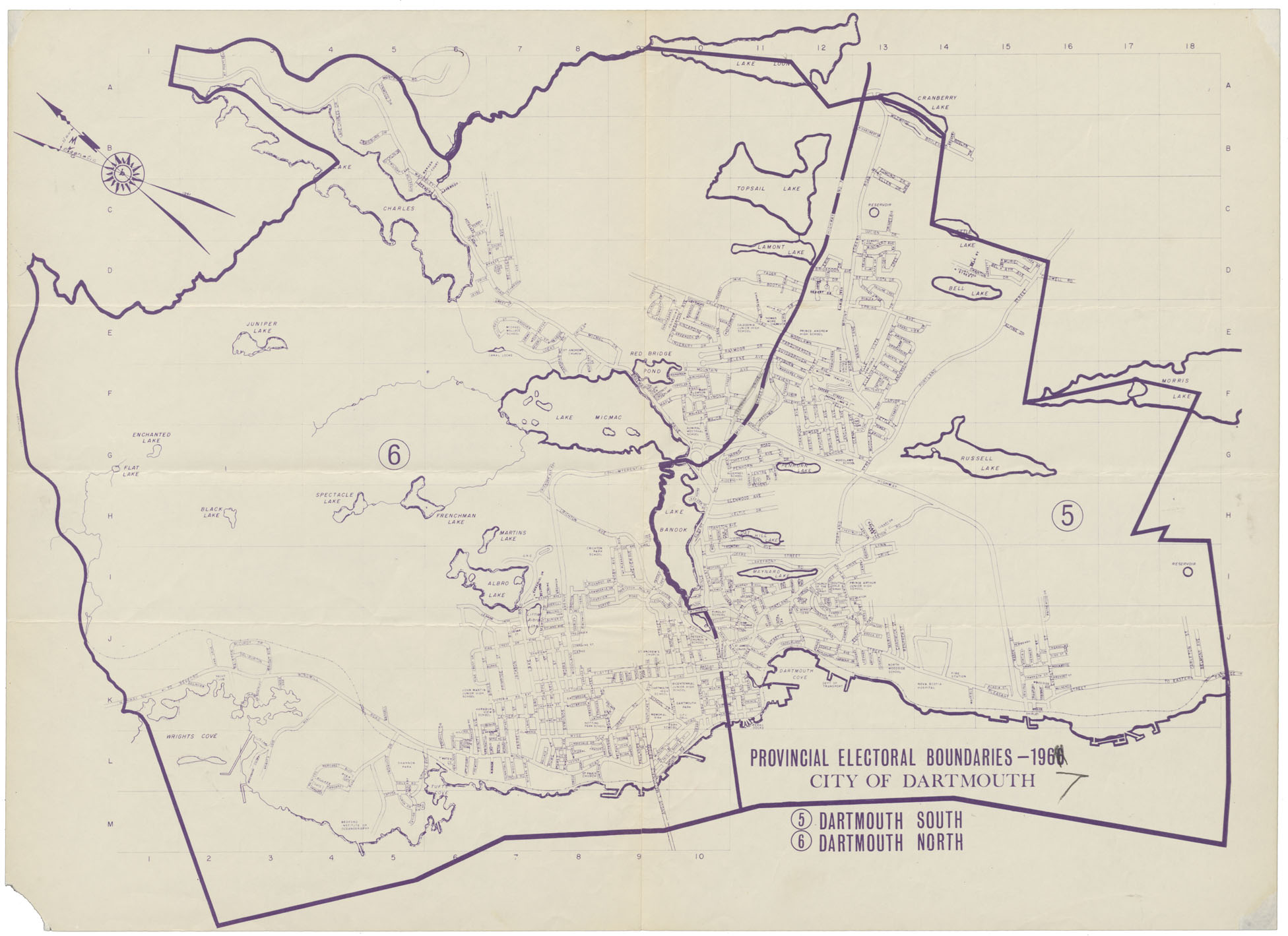
Provincial Electoral Boundaries 1967 City of Dartmouth
Date: 1967
Reference: Nova Scotia Archives Map Collection: F/240 - 1967
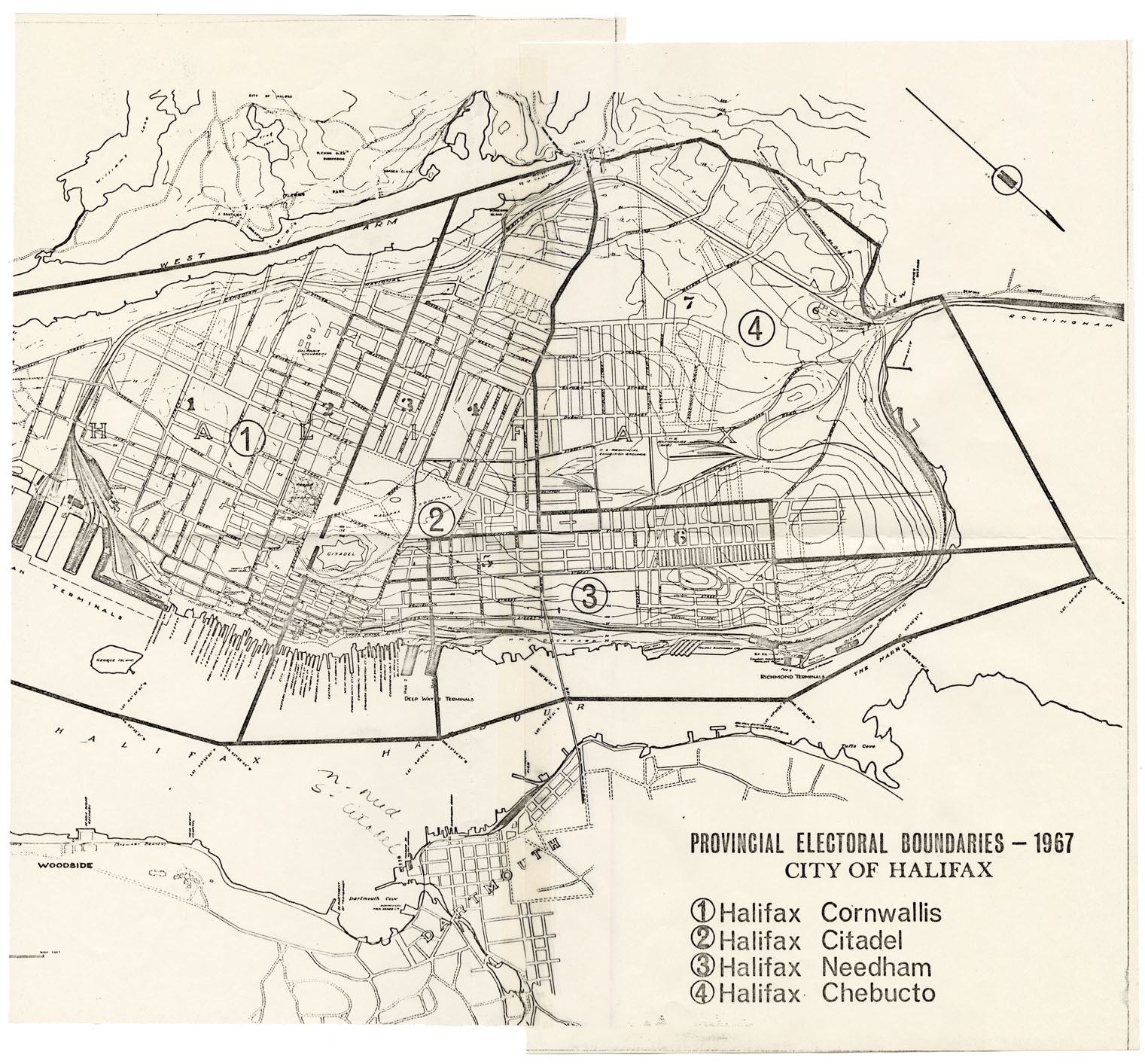
Provincial Electoral Boundaries-1967 City of Halifax
Date: 1967
Reference: Nova Scotia Archives Map Collection: F/240 - 1967
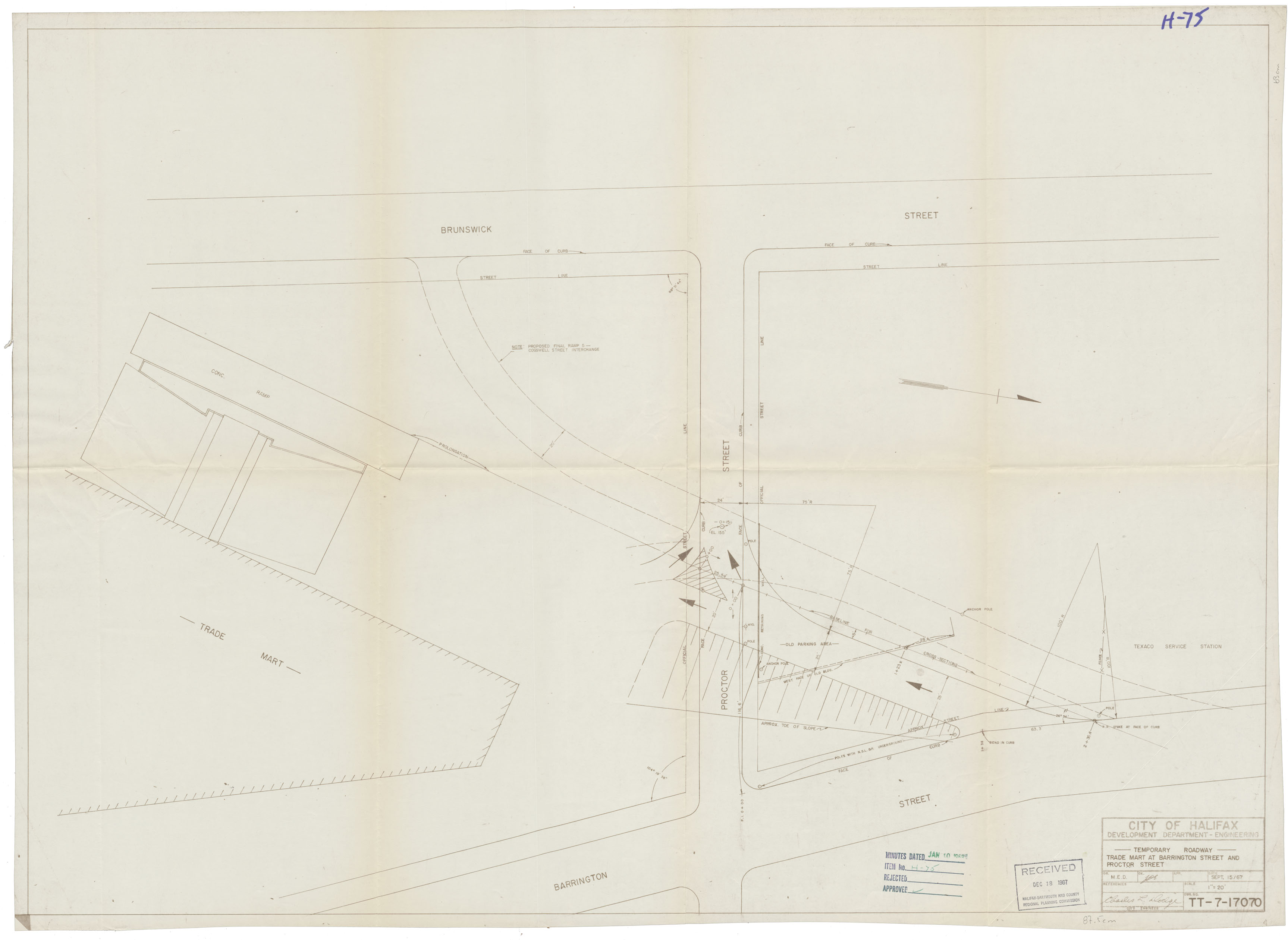
Temporary Roadway-Trade Mart at Barrington St & Proctor St
Date: 15 September 1967
Reference: Nova Scotia Archives Map Collection: F/240 - 1967