Nova Scotia Archives
Historical Maps of Nova Scotia
Results 856 to 870 of 905 from your search: 1800
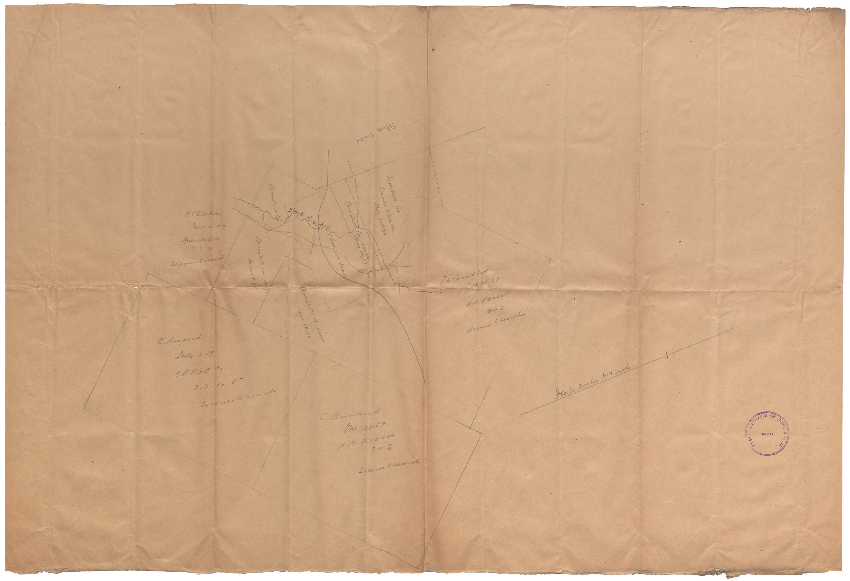
Lease Salt Springs Cumberland County
Date: 1890
Reference: Nova Scotia Archives Map Collection: F/220 - 1890
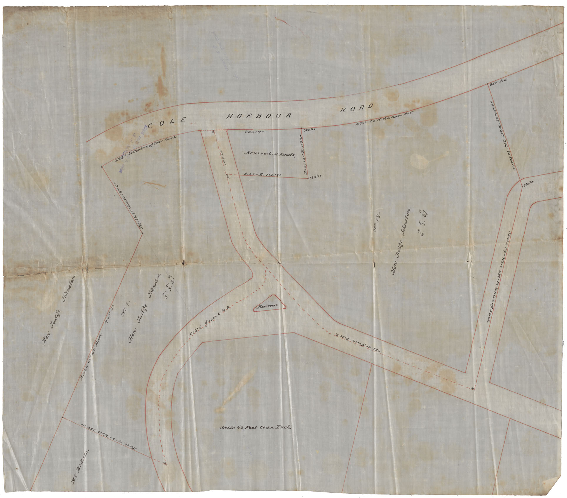
PANS Vert Mss File: Maps: Dartmouth: Hon.Judge Johnston's Property: c.1890
Date: 1890
Reference: Nova Scotia Archives Map Collection: F/239 - 1890
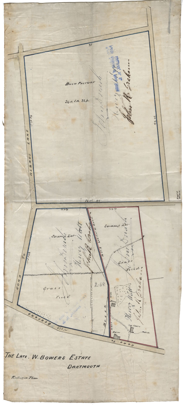
PANS Vert Mss File: Maps: Dartmouth: The Late W.Bowers Estate, c.1890
Date: 1890
Reference: Nova Scotia Archives Map Collection: F/239 - 1890
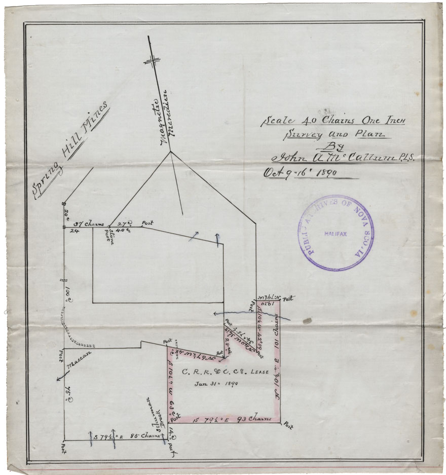
C.R.R.&C.Co., Spring Hill Mines
Date: 9-16 October 1890
Reference: Nova Scotia Archives Map Collection: F/239 - 1890
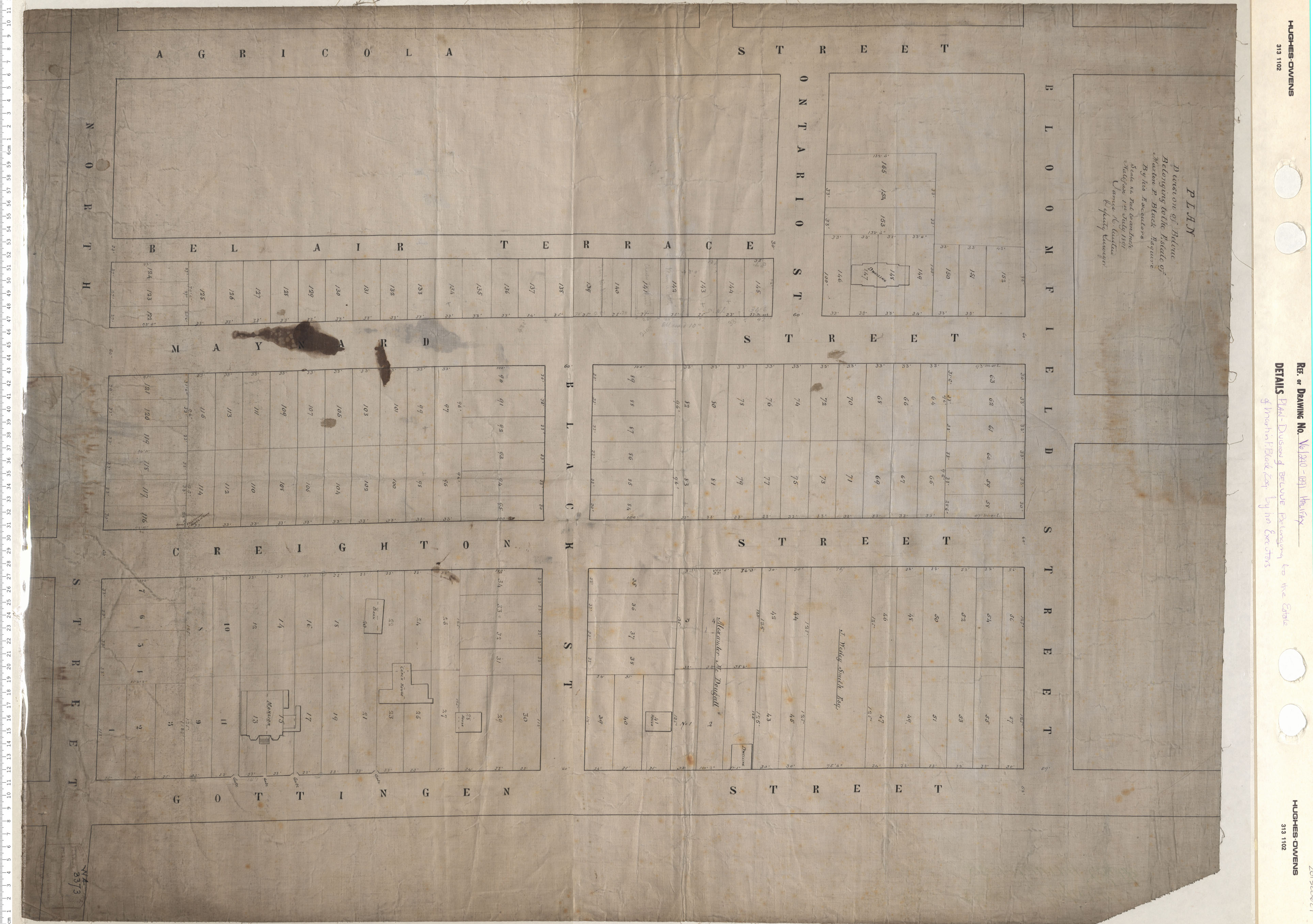
Plan Division of Belvue Belonging to the Estate of Martin P. Blade Esq. by Honerable Executors
Date: 1891
Reference: Nova Scotia Archives Map Collection: V6 240 Halifax, Nova Scotia
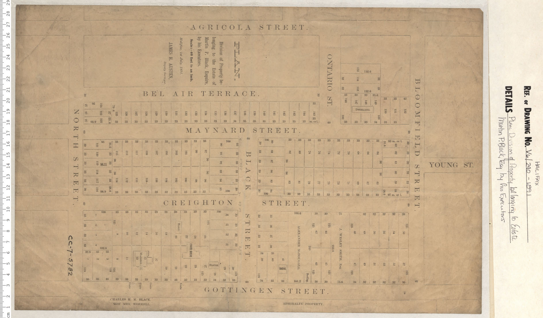
Plan Division of Belvue Belonging to the Estate of Martin P. Blade Esq. by Honerable Executors
Date: 1891
Reference: Nova Scotia Archives Map Collection: V6 240 Halifax, Nova Scotia
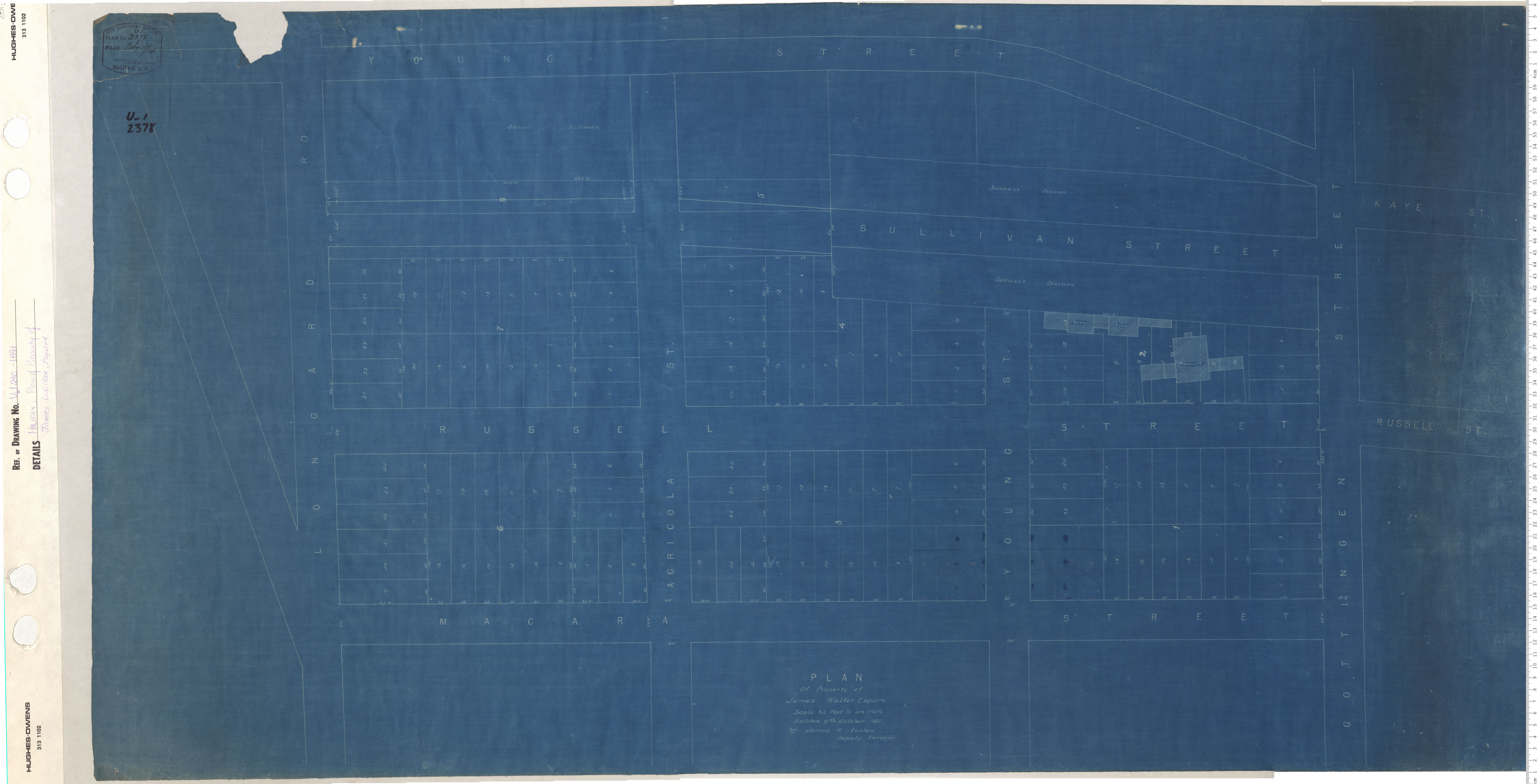
Plan of Property of James Walker, Esquire
Date: 1891
Reference: Nova Scotia Archives Map Collection: V6 240 Halifax, Nova Scotia
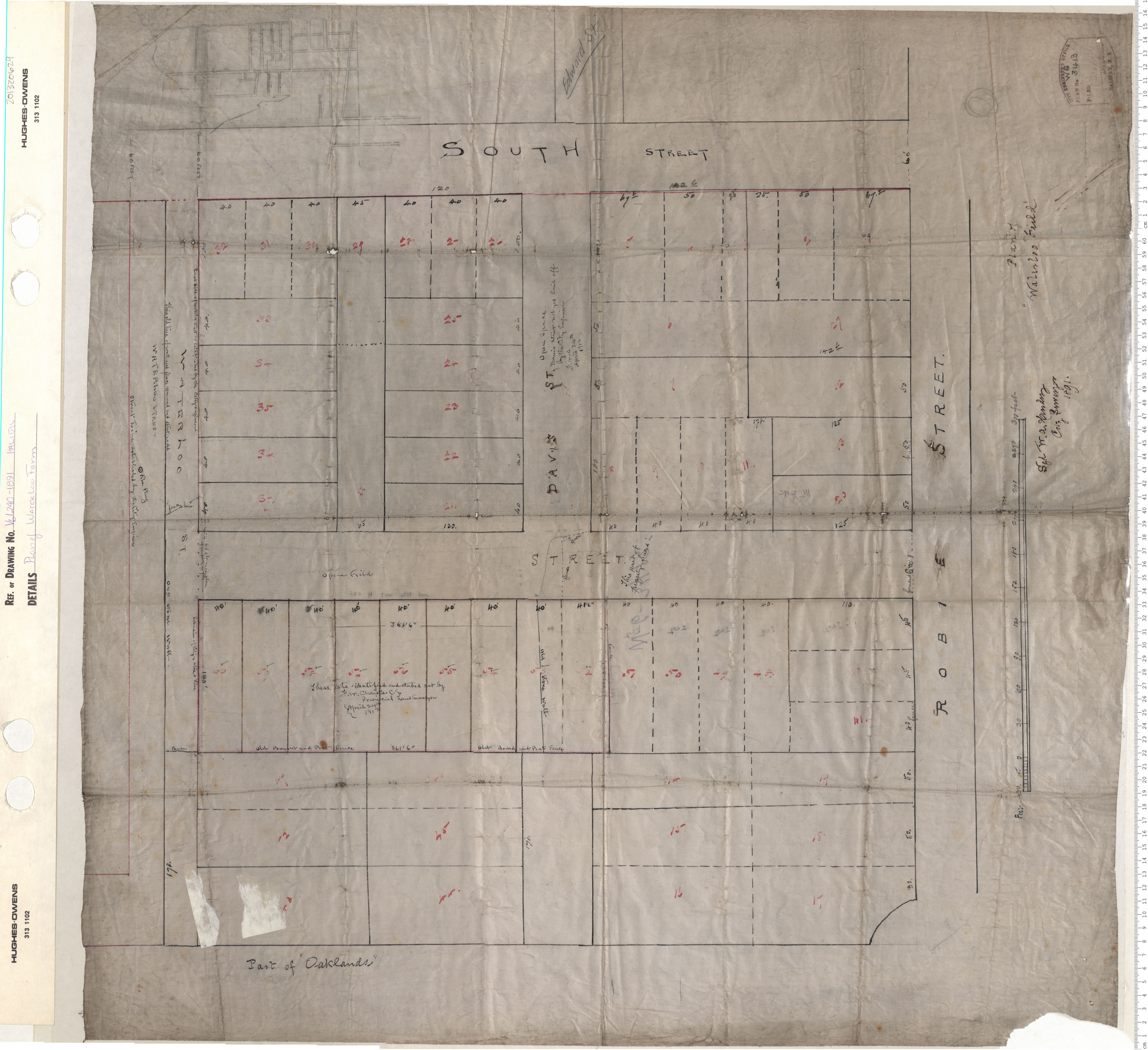
Plan of Waterloo Farm
Date: 1891
Reference: Nova Scotia Archives Map Collection: V6 240 Halifax, Nova Scotia
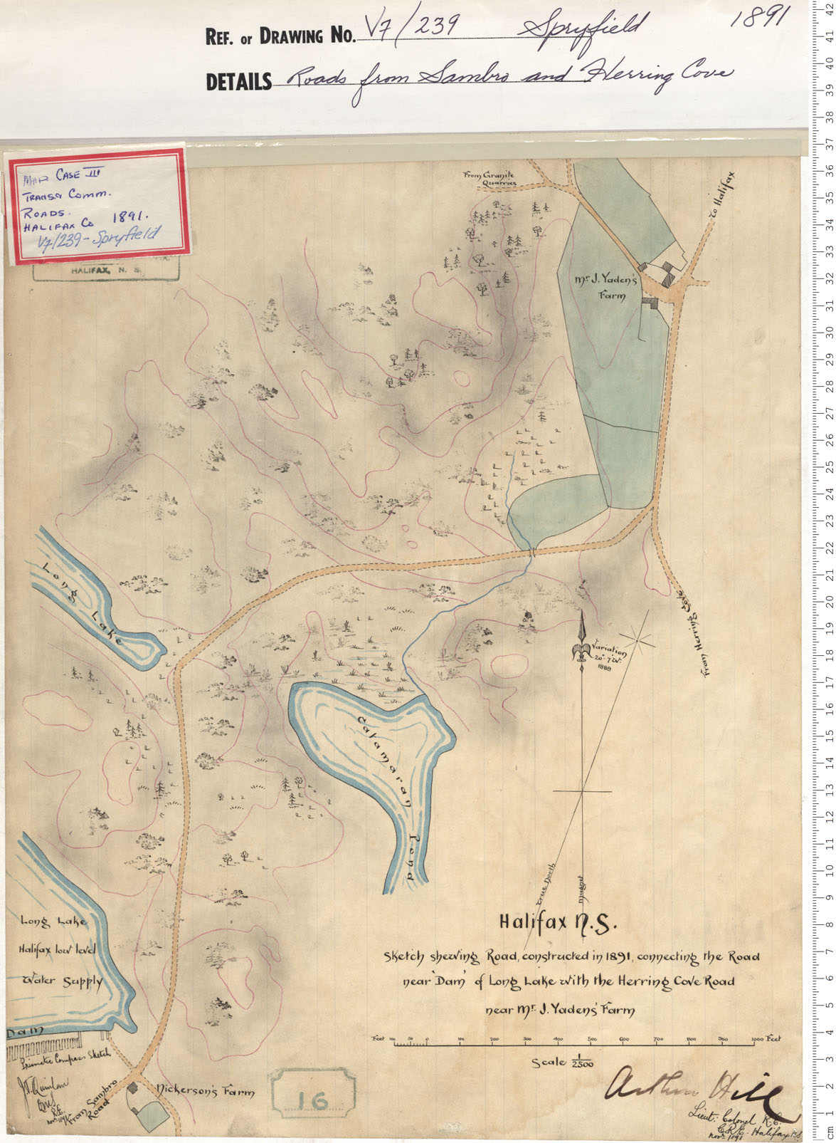
Roads from Sambro and Herring Cove
Date: 1891
Reference: Nova Scotia Archives Map Collection: V7 239 Spryfield, Nova Scotia
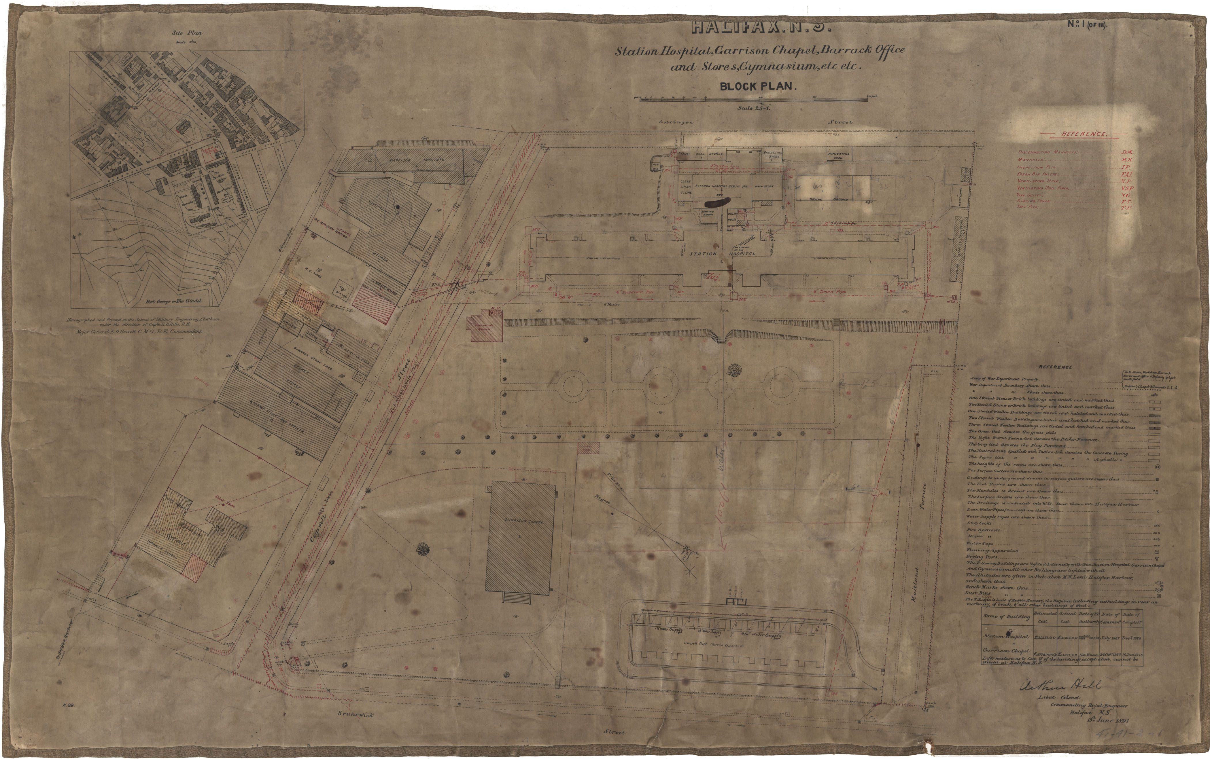
Station Hospital, Garrison Chapel, Barracks, etc.
Date: 19 June 1891
Reference: Nova Scotia Archives Royal Engineers Maps and Plans 41 - 41 - 2 - 1
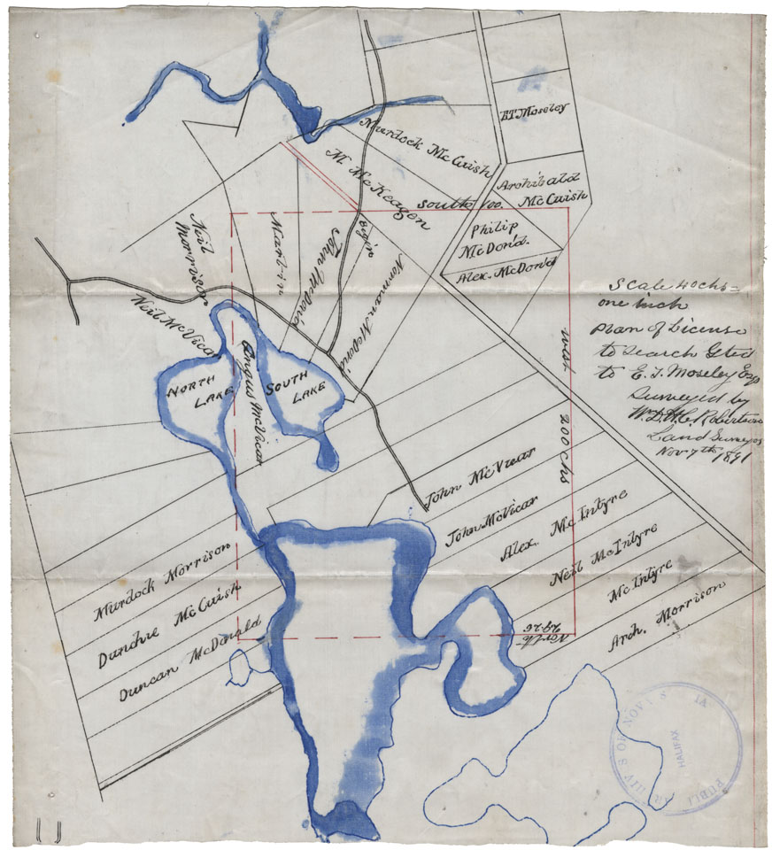
Plan of License to Search
Date: 7 November 1891
Reference: Nova Scotia Archives Map Collection: F/230 - 1891
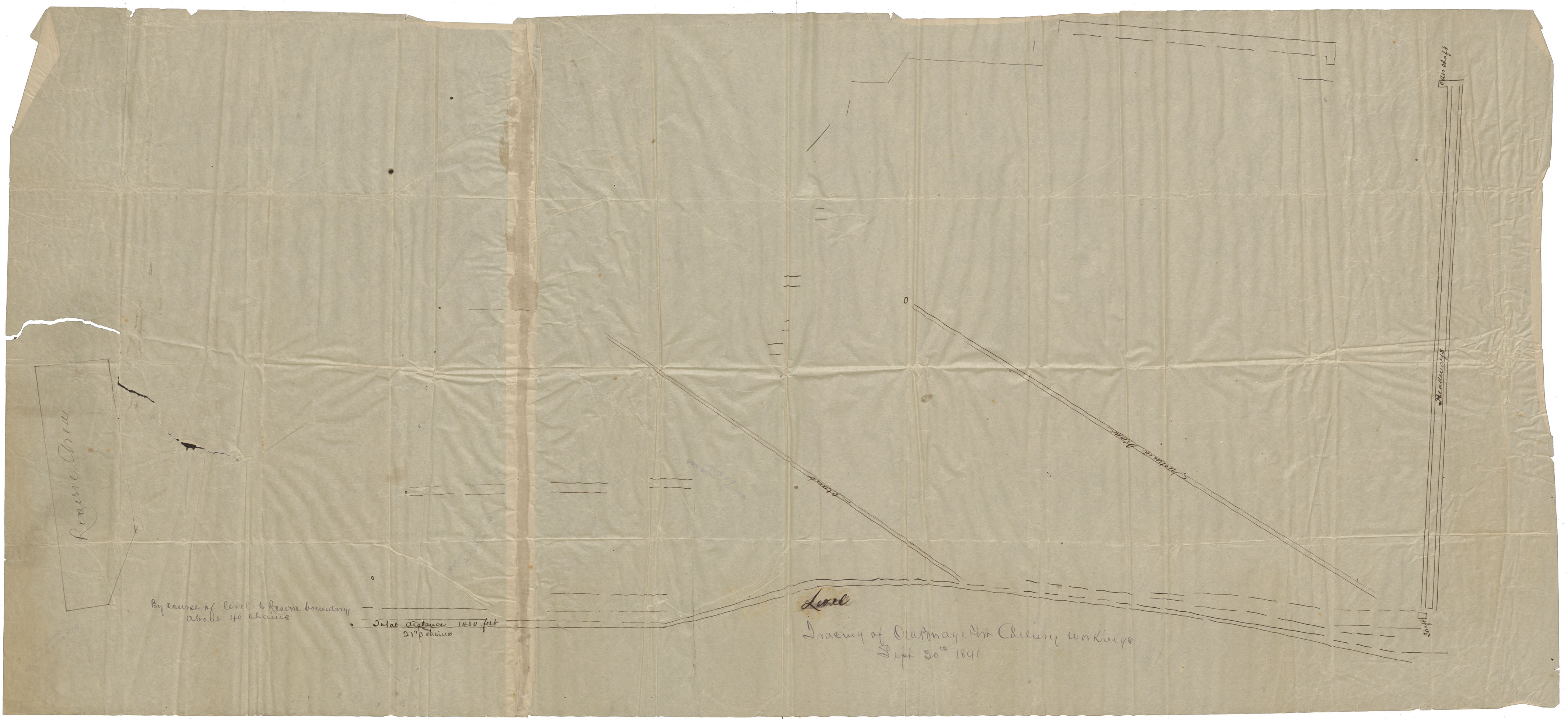
Tracing. Old Bridge & Collery Bridgeport Mine 1891
Date: 30 September 1891
Reference: Nova Scotia Archives Map Collection: F/239 - 1891
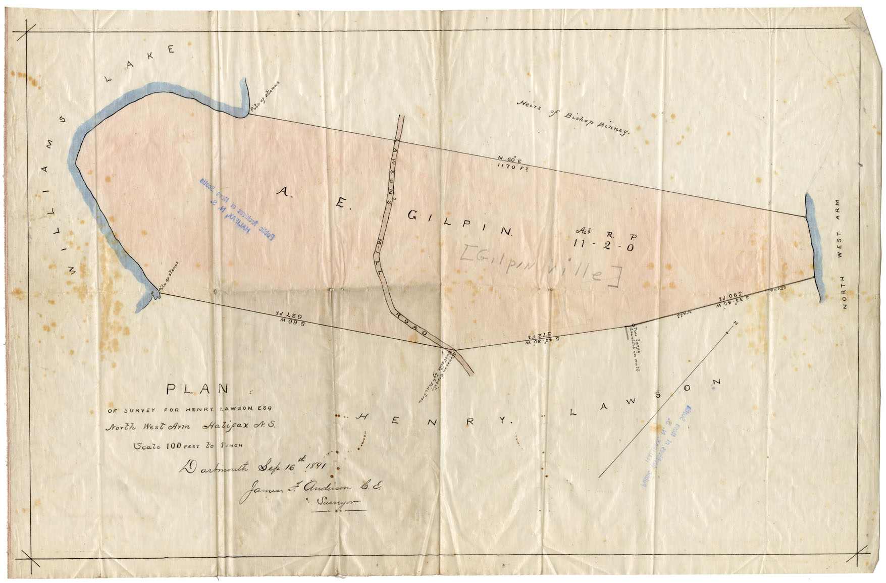
Plan of Survey of Henry Lawson Northwest Arm, 1891, Lands of A.E.Gilpin and H.Lawson
Date: 16 September 1891
Reference: Nova Scotia Archives Map Collection: F/240 - 1891
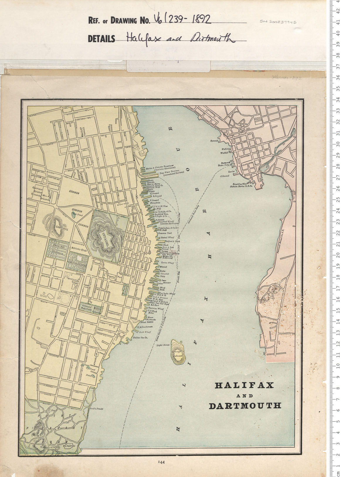
Halifax and Dartmouth
Date: 1892
Reference: Nova Scotia Archives Map Collection: V6 239 Halifax, Nova Scotia
