Nova Scotia Archives
Historical Maps of Nova Scotia
Results 901 to 905 of 905 from your search: 1800
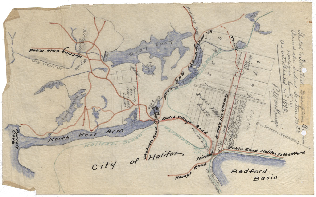
Maps: Halifax County 1898 Armdale School Boundaries
Date: 1898
Reference: Nova Scotia Archives Map Collection: F/220 - 1890
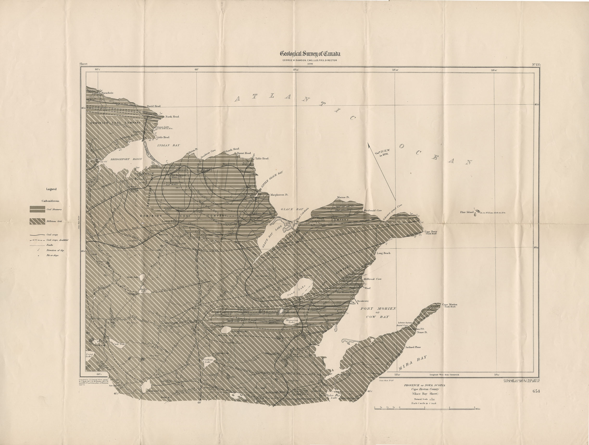
G.S.C. Glace Bay Sheet, Cape Breton Co
Date: 1898
Reference: Nova Scotia Archives Map Collection: F/239 - 1898
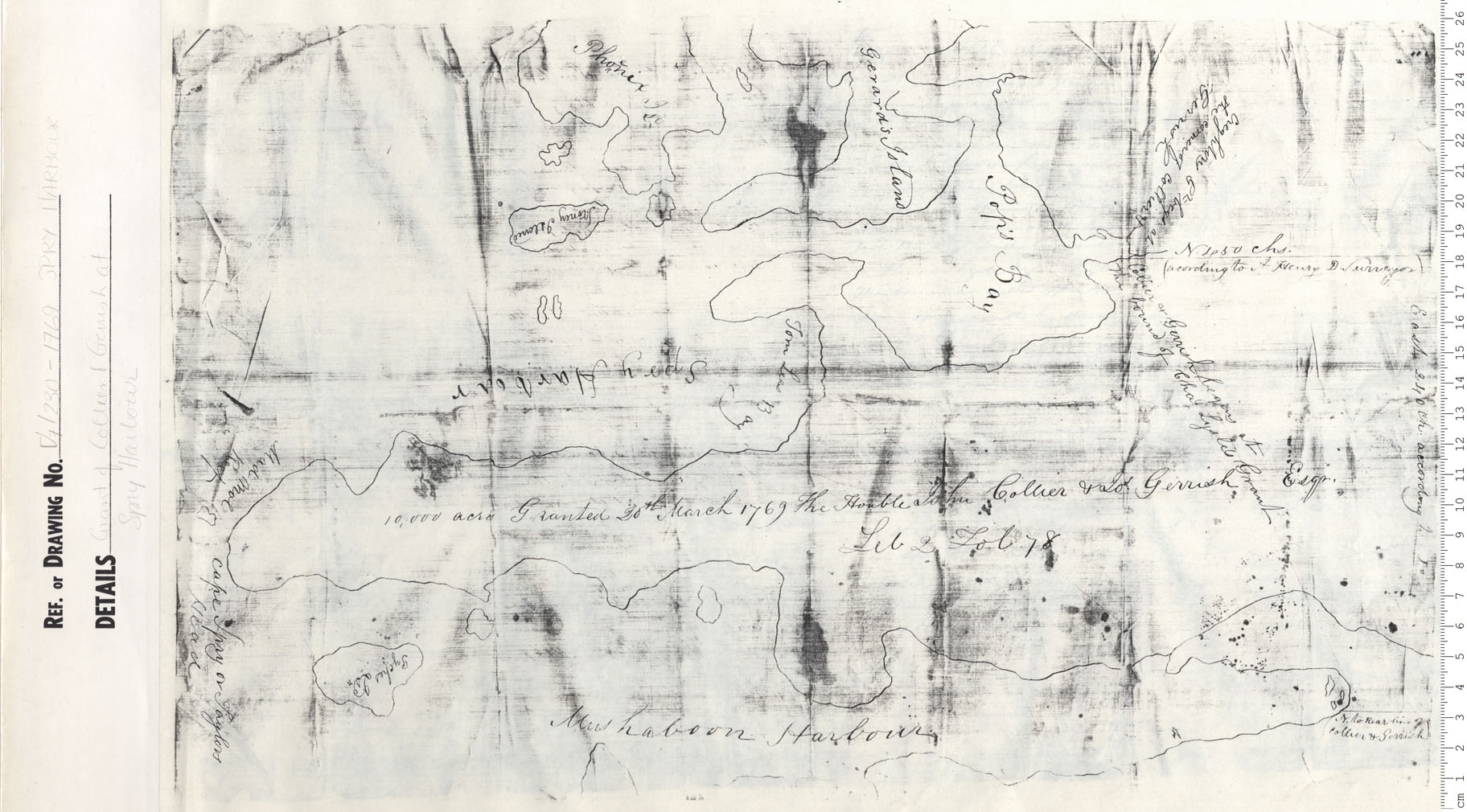
Plan of Lands and lands covered with Water Required for Proposed Blast Furnaces
Date: 1899
Reference: Nova Scotia Archives Map Collection: V7 239 Sydney, Nova Scotia
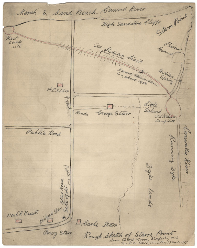
Rough Sketch of Starr'sa Point, Lower Church St, Kings County NS By R.W.Starr, Starr's Point 17 Sept 1917
Date: 17 September 1917
Reference: Nova Scotia Archives Map Collection: F/230 - 1917
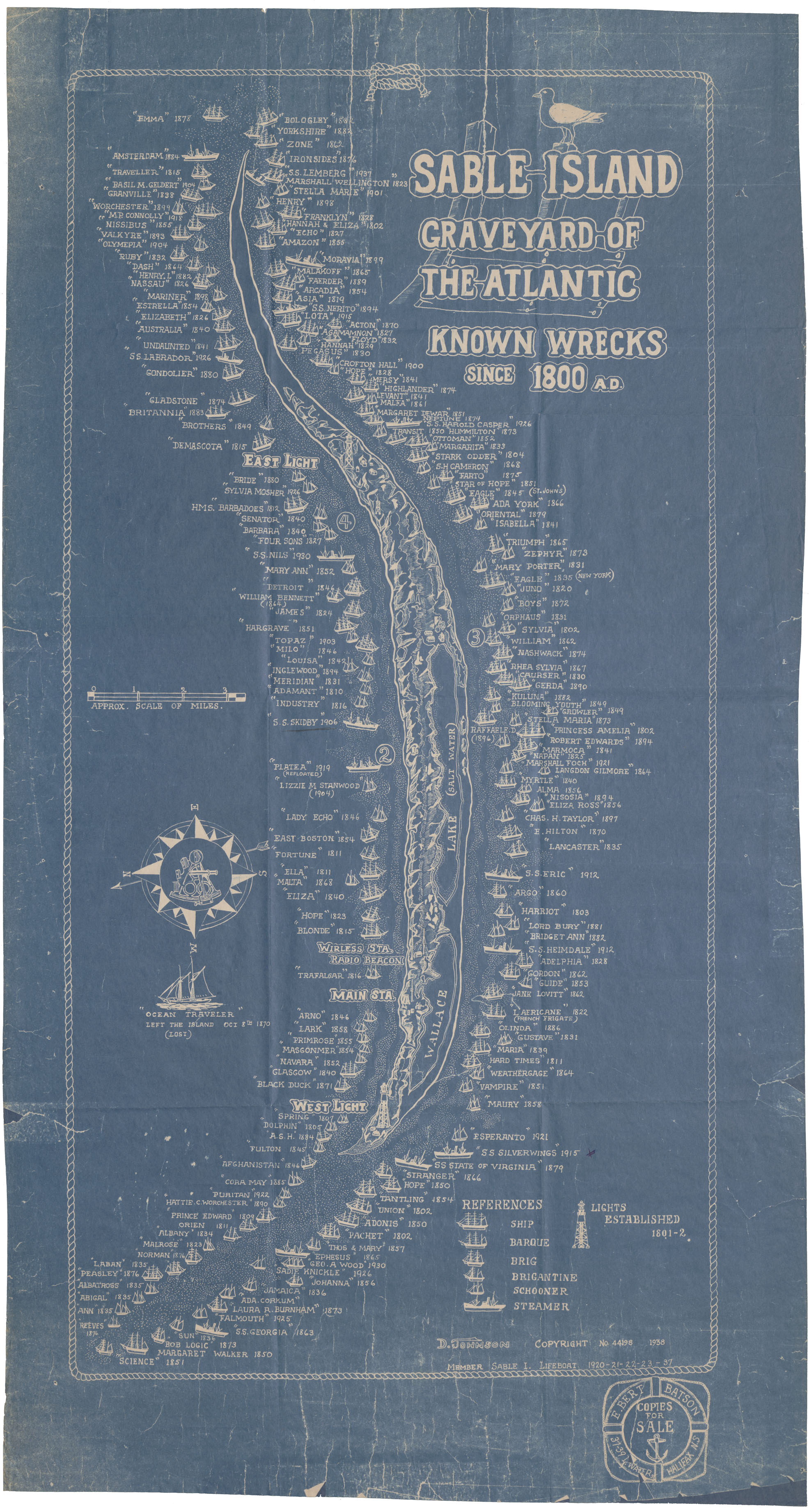
Sable Island Graveyard of the Atlantic
Date: 1938
Reference: Nova Scotia Archives Map Collection: F/240 - 1938