Nova Scotia Archives
Historical Maps of Nova Scotia
Results 1531 to 1545 of 2074 from your search:
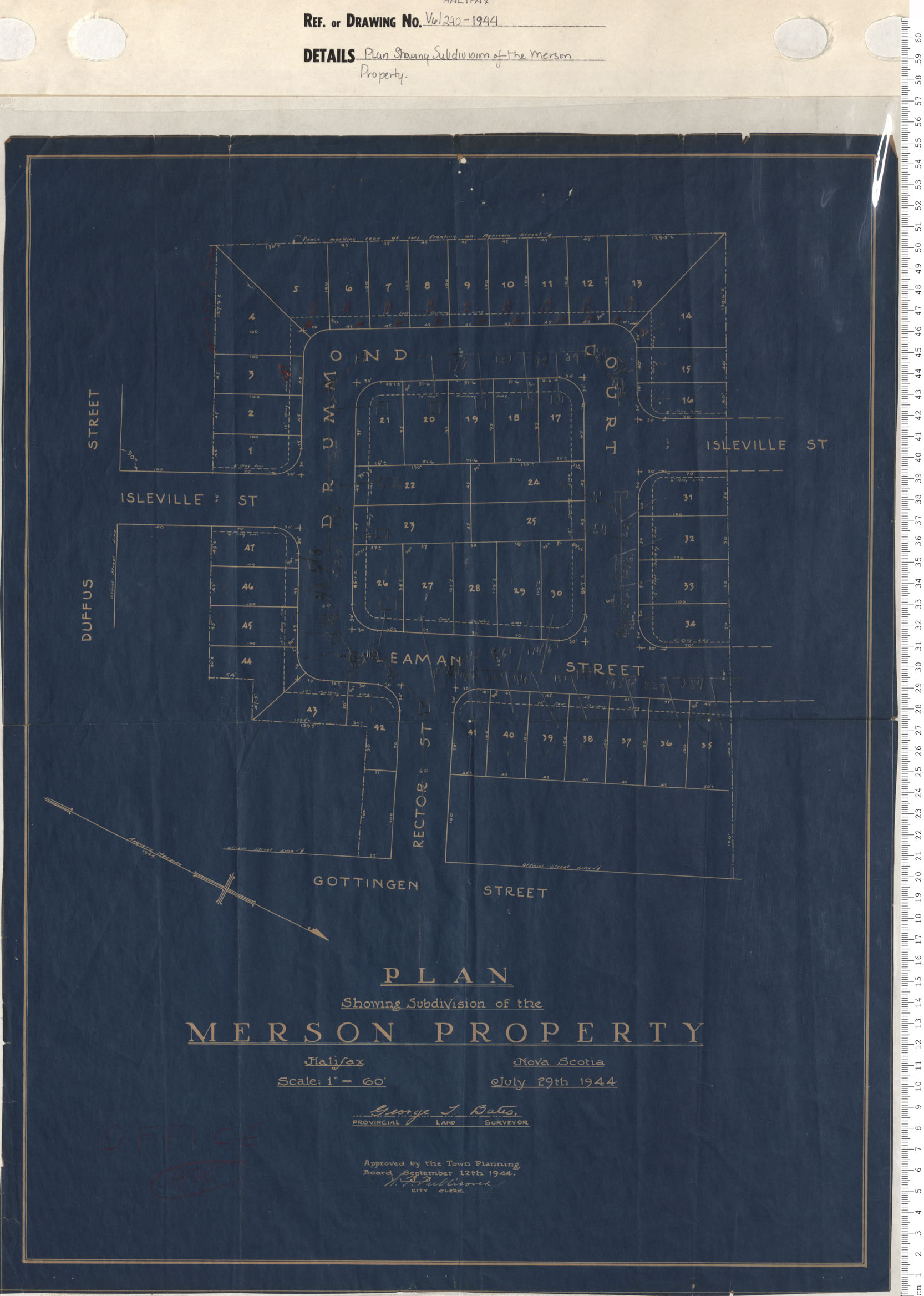
Plan Showing Subdivision of the Merson Property
Date: 1944
Reference: Nova Scotia Archives Map Collection: V6 240 Halifax, Nova Scotia
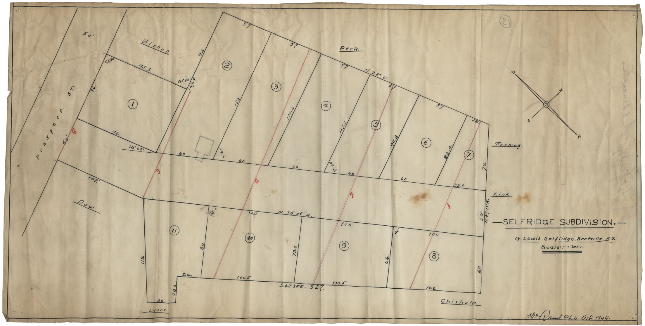
Selfridge Subdivision G.Lewis Selfridge Kentville
Date: October 1944
Reference: Nova Scotia Archives Map Collection: F/239 - 1944
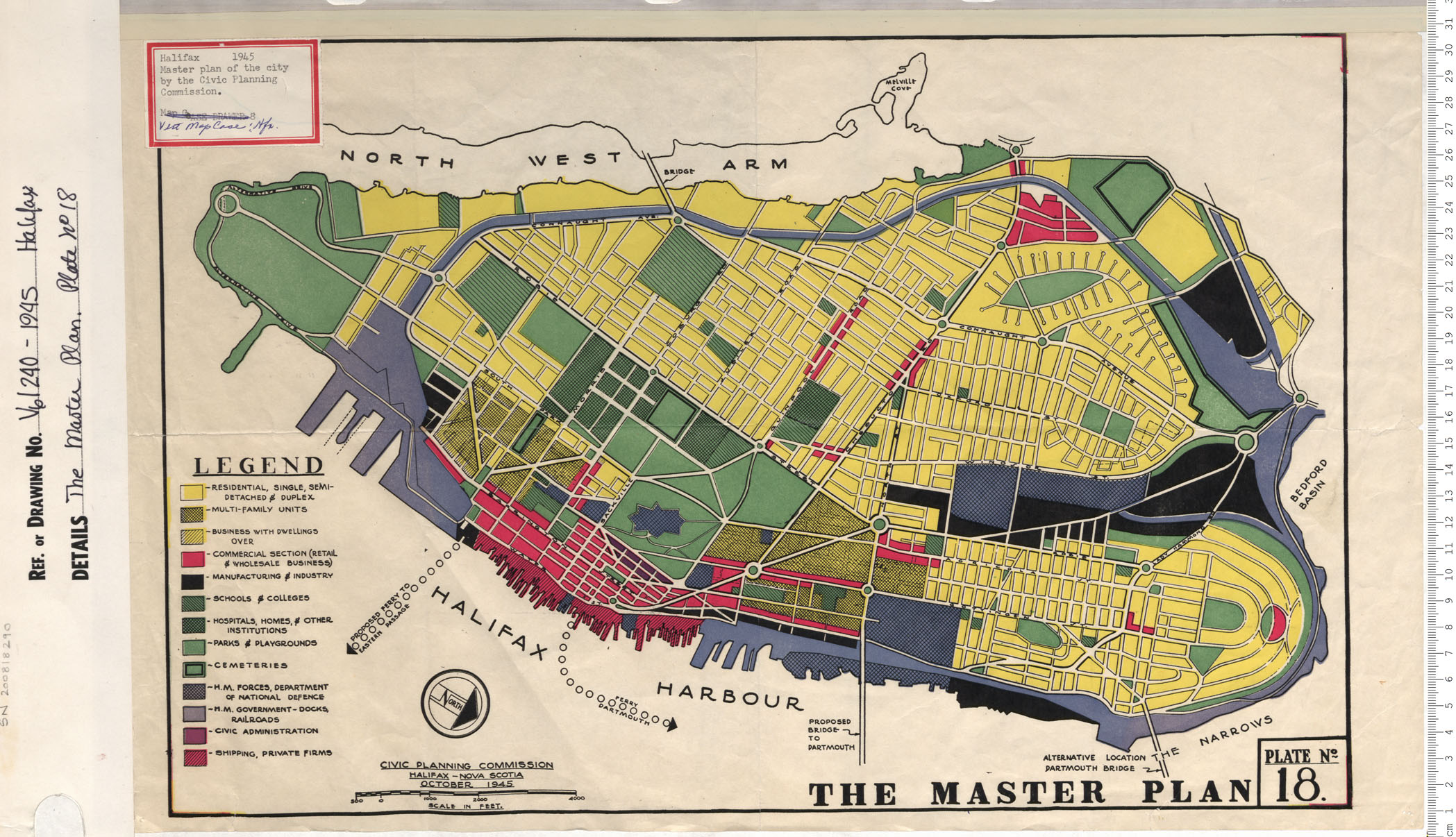
The Master Plan Plate No. 18
Date: 1945
Reference: Nova Scotia Archives Map Collection: V6 240 Halifax, Nova Scotia
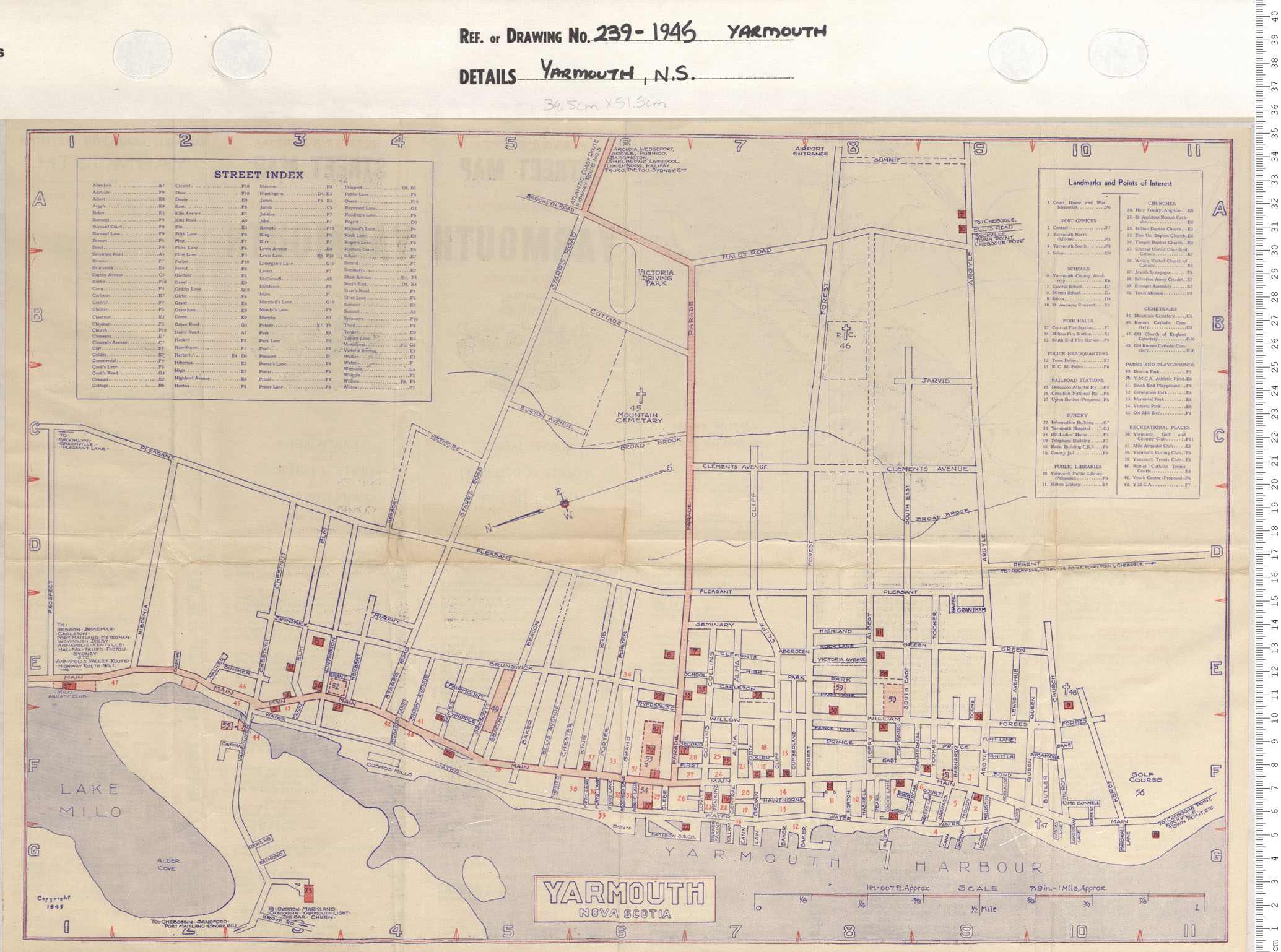
Yarmouth, NS
Date: 1945
Reference: Nova Scotia Archives Map Collection: V7 239 Yarmouth, Nova Scotia
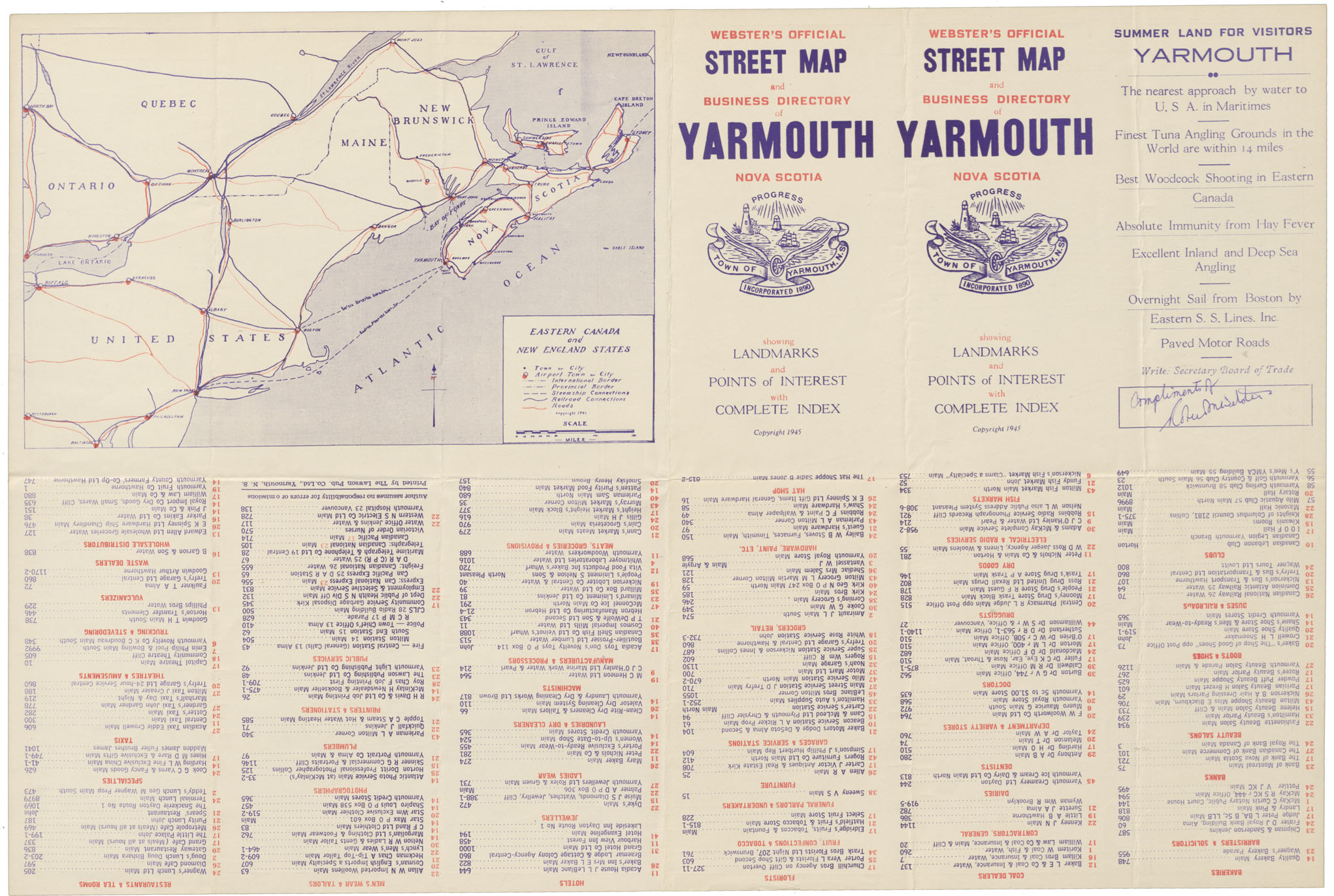
Yarmouth NS "Webster's Official Street map and Business Directory of Yarmouth, N.S."
Date: 1945
Reference: Nova Scotia Archives Map Collection: F/239 - 1945
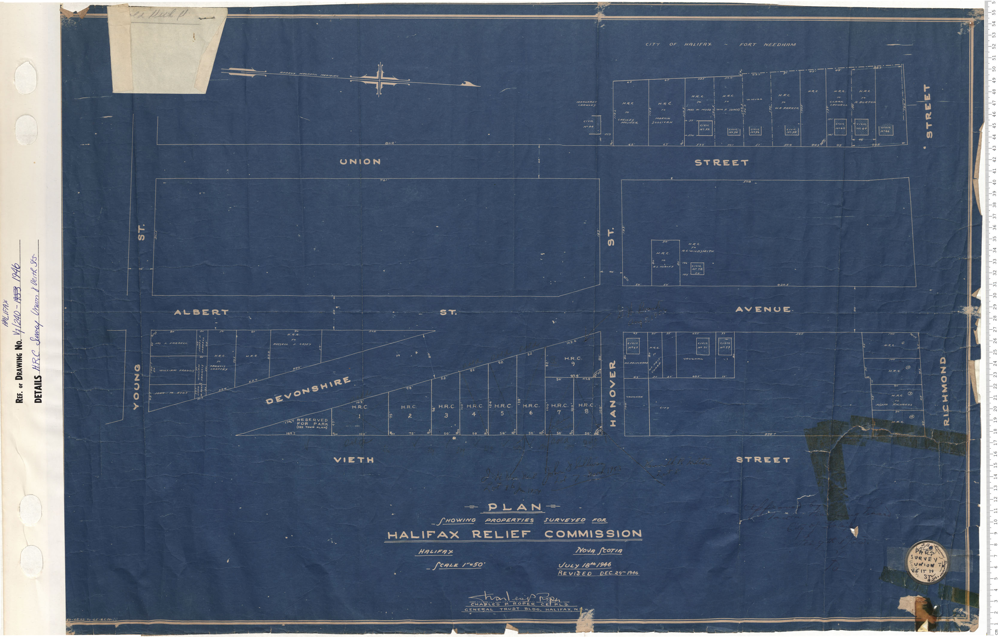
H.R.C. Survey Union and Veith Streets
Date: 1946
Reference: Nova Scotia Archives Map Collection: V6 240 Halifax, Nova Scotia
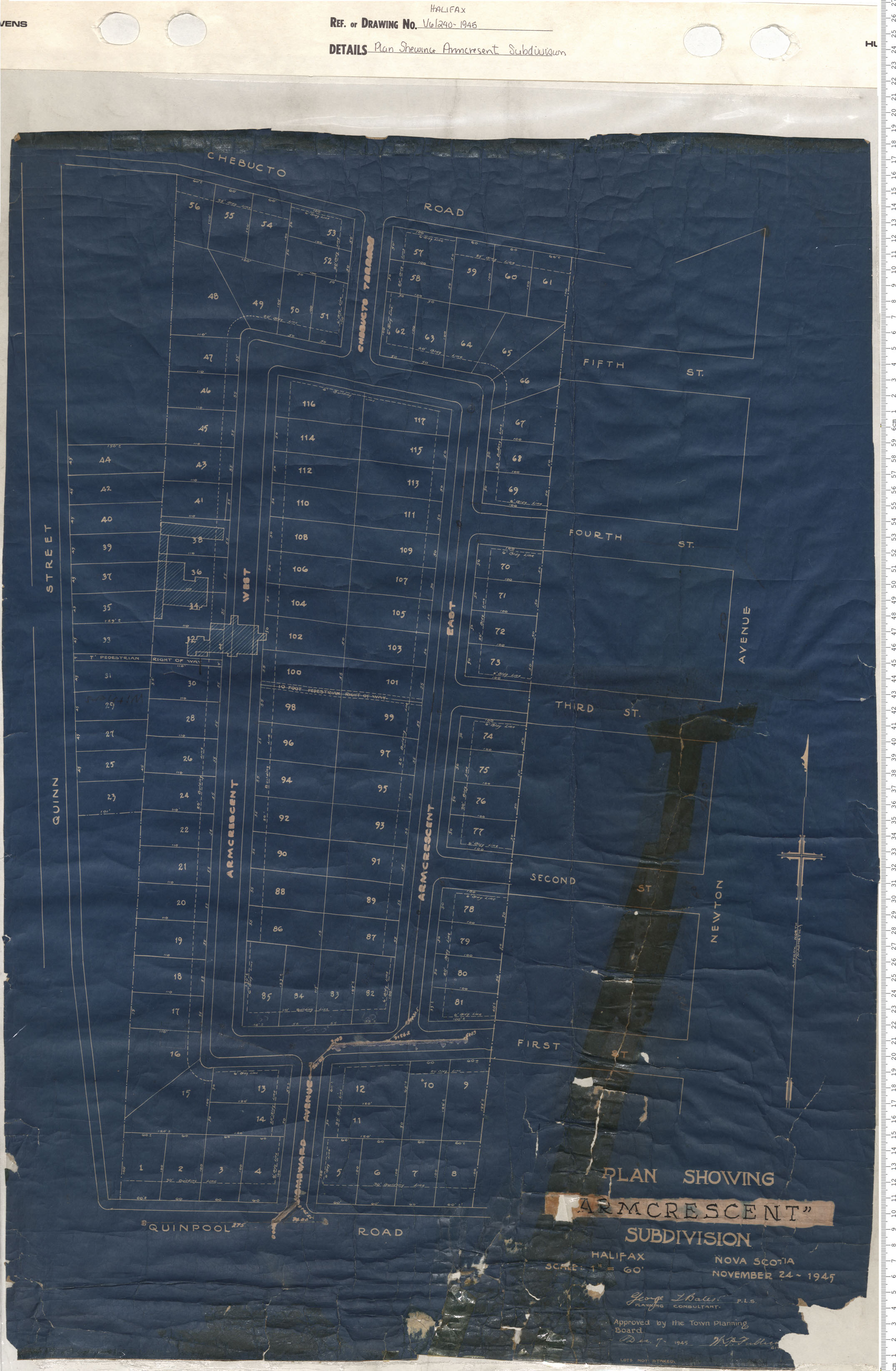
Plan Shewing Armcresent Subdivision
Date: 1946
Reference: Nova Scotia Archives Map Collection: V6 240 Halifax, Nova Scotia
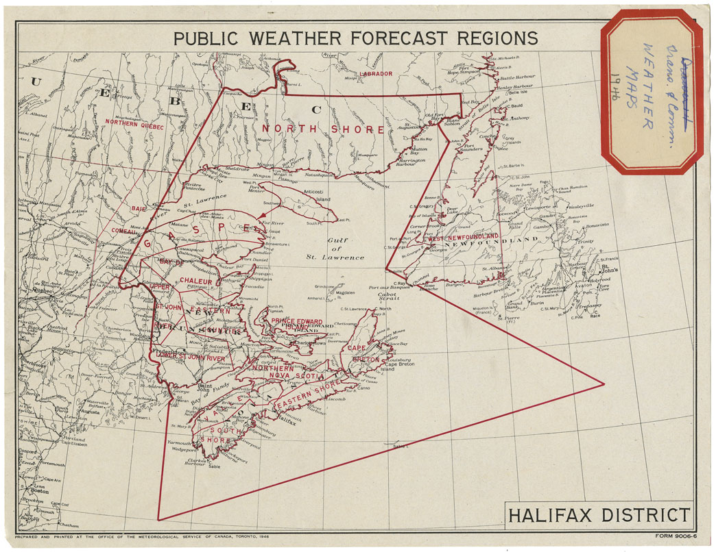
Public Weather Forecasts Halifax District
Date: 1946
Reference: Nova Scotia Archives Map Collection: F/200 - 1946
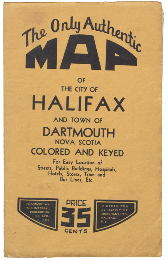
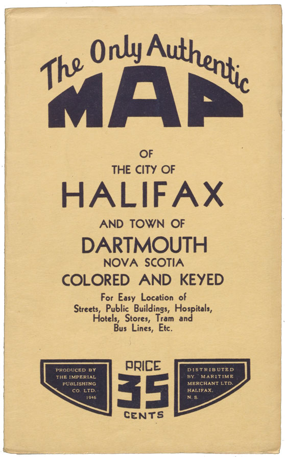
The Only Authentic Map of Halifax and Town of Dartmouth N.S., Coloured and Keyed
Date: 1946
Reference: Nova Scotia Archives Map Collection: F/239 - 1946
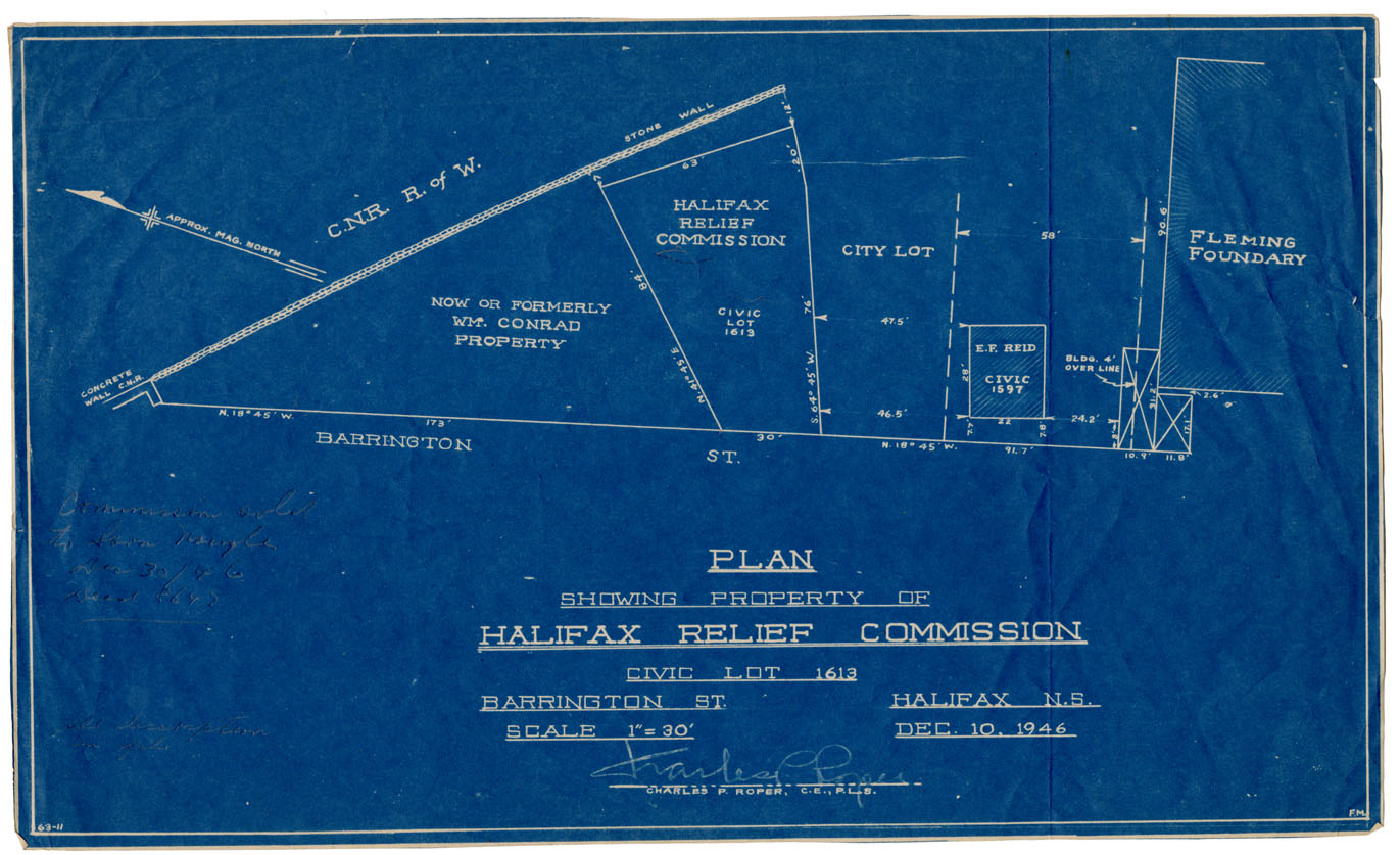
Plan showing Property of Halifax Relief Commission, Civic Lot 1613, Barrington St
Date: 10 December 1946
Reference: Nova Scotia Archives Map Collection: F/240 - 1946
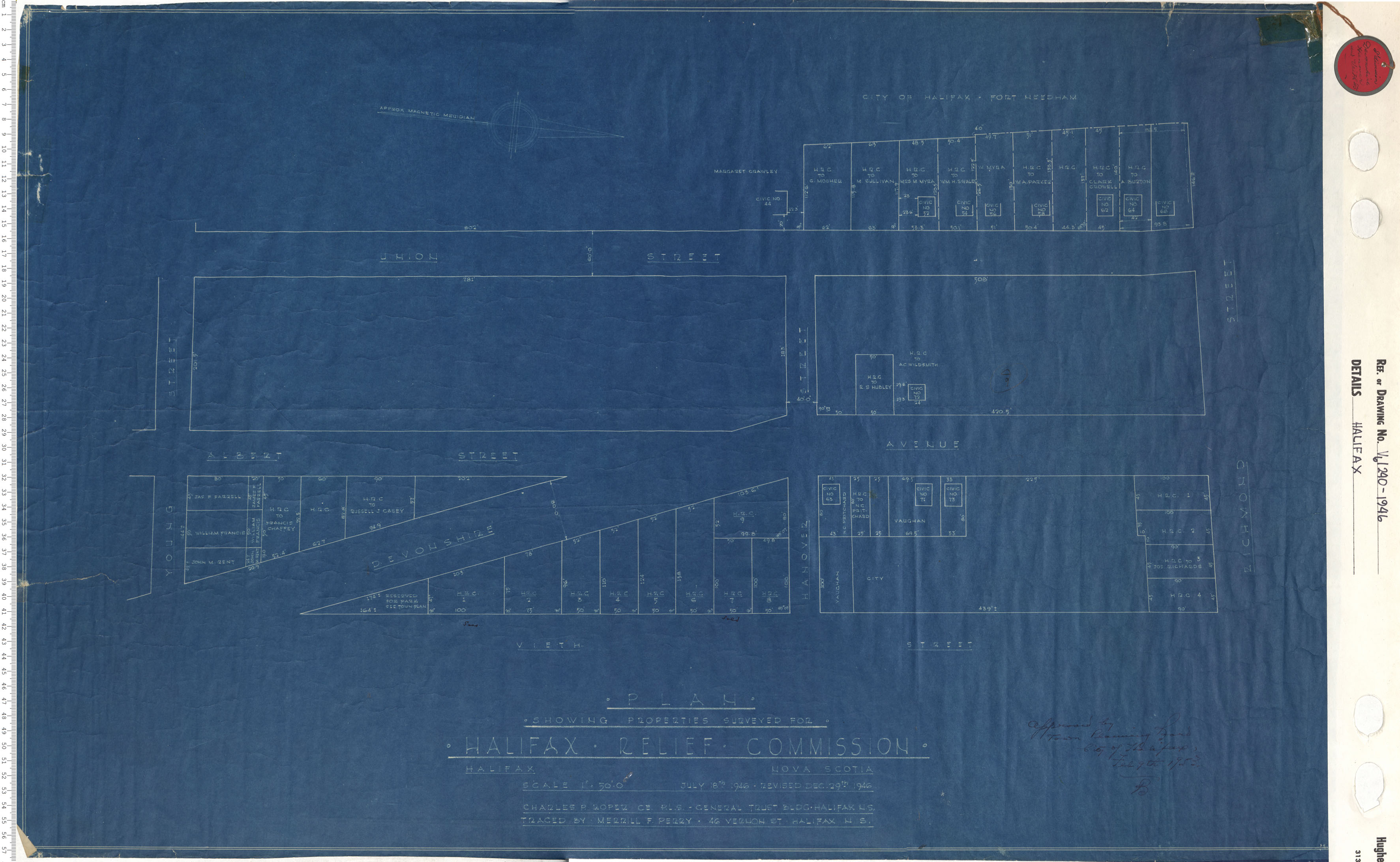
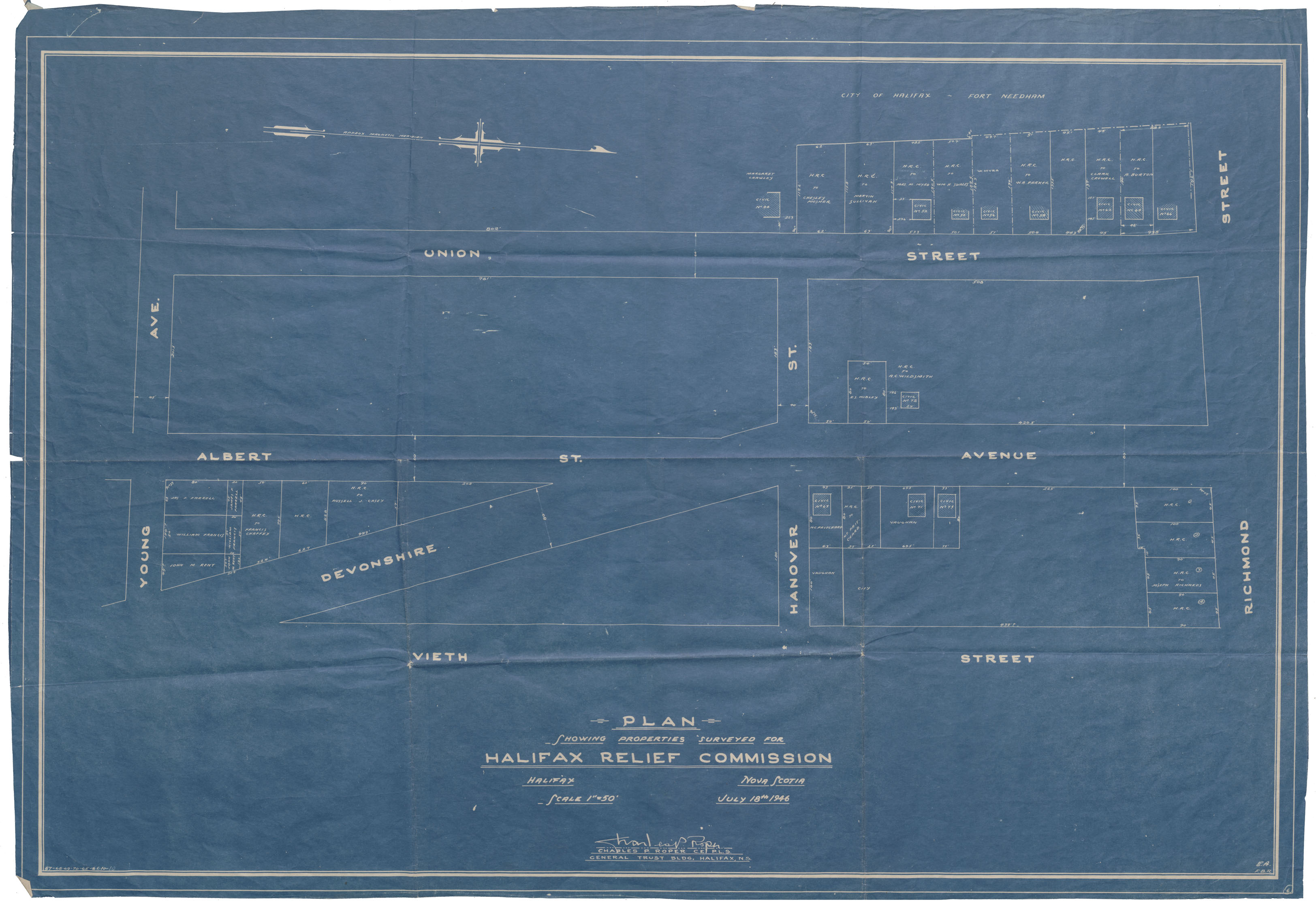
Plan showing Properties Surveyed for Halifax Relief Commission
Date: 18 July 1946
Reference: Nova Scotia Archives Map Collection: F/240 - 1946
