Nova Scotia Archives
Historical Maps of Nova Scotia
Results 1471 to 1485 of 2074 from your search:
Sectional Map Indicating Main Automobile Roads Between Canada, & Untied States Eastern Sheet
Date: 1935
Reference: Nova Scotia Archives Map Collection: F/200 - 1935
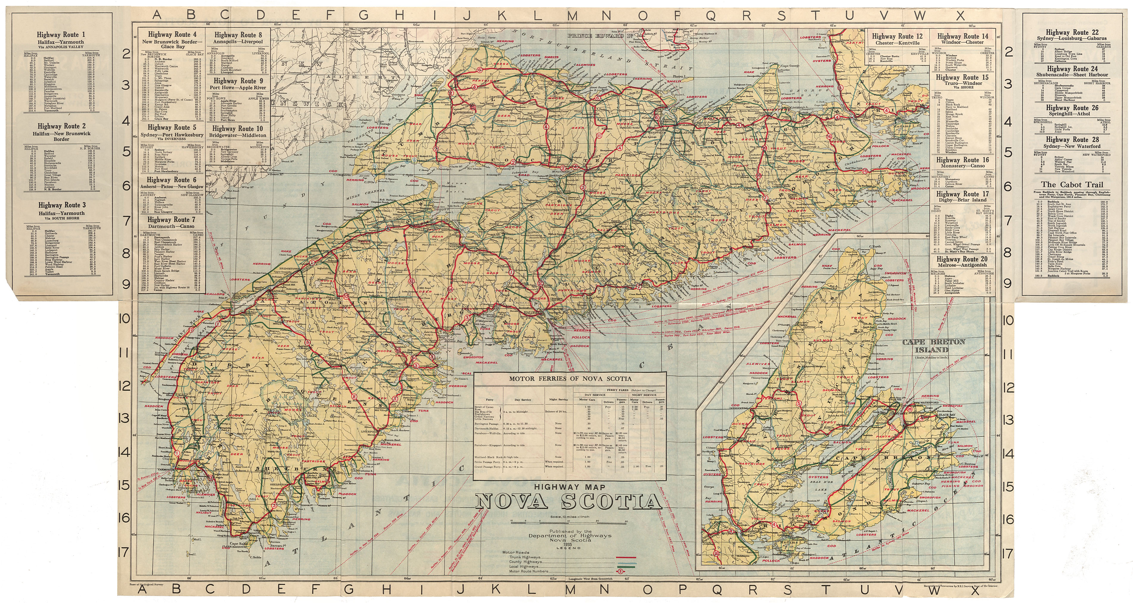
Map of the Province of Nova Scotia 1935
Date: 1935
Reference: Nova Scotia Archives Map Collection: F/202 - 1935
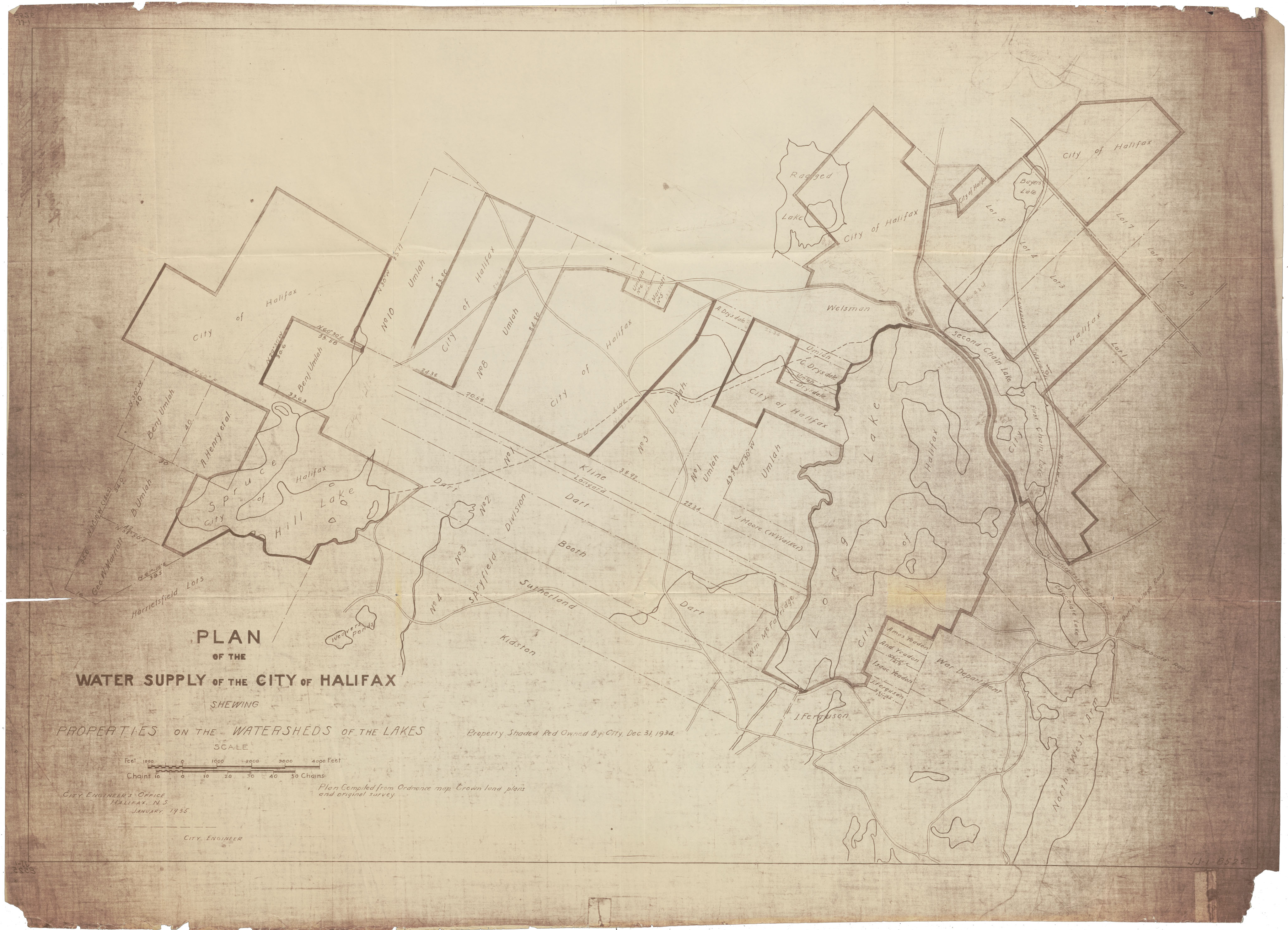
Plan of the Water Supply of the City of Halifax showing Properties on the Watersheds of the Lakes
Date: January 1935
Reference: Nova Scotia Archives Map Collection: F/239 - 1935
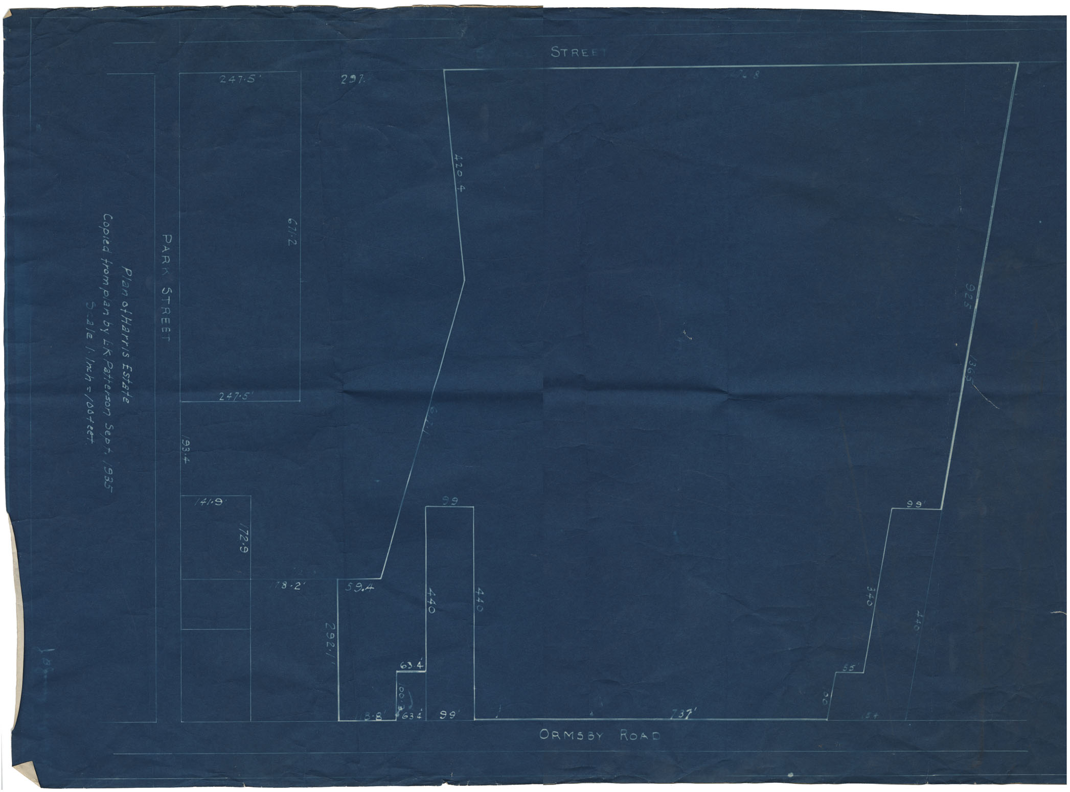
Town of Kentville Plan of Harris Estate
Date: September 1935
Reference: Nova Scotia Archives Map Collection: F/239 - 1935
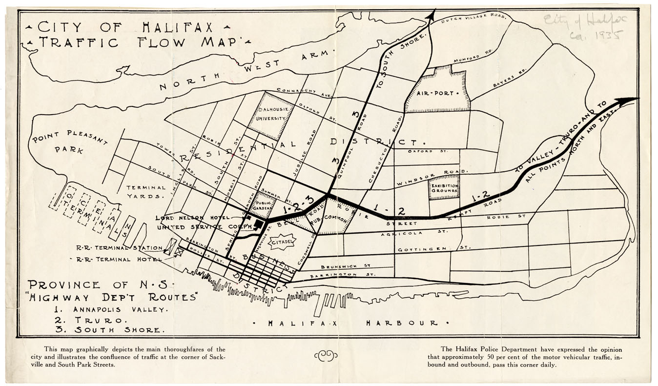
City of Halifax Traffic Flow Map
Date: 1935
Reference: Nova Scotia Archives Map Collection: F/240 - 1935
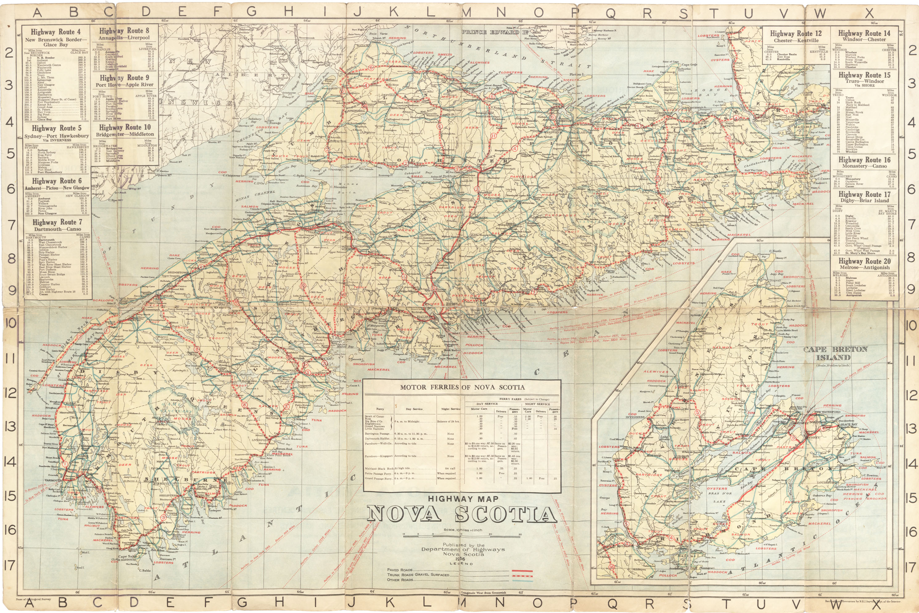
Highway Map Nova Scotia, published by the Department of Highways, Nova Scotia
Date: 1936
Reference: Nova Scotia Archives Map Collection: F/202 - 1936 Nova Scotia
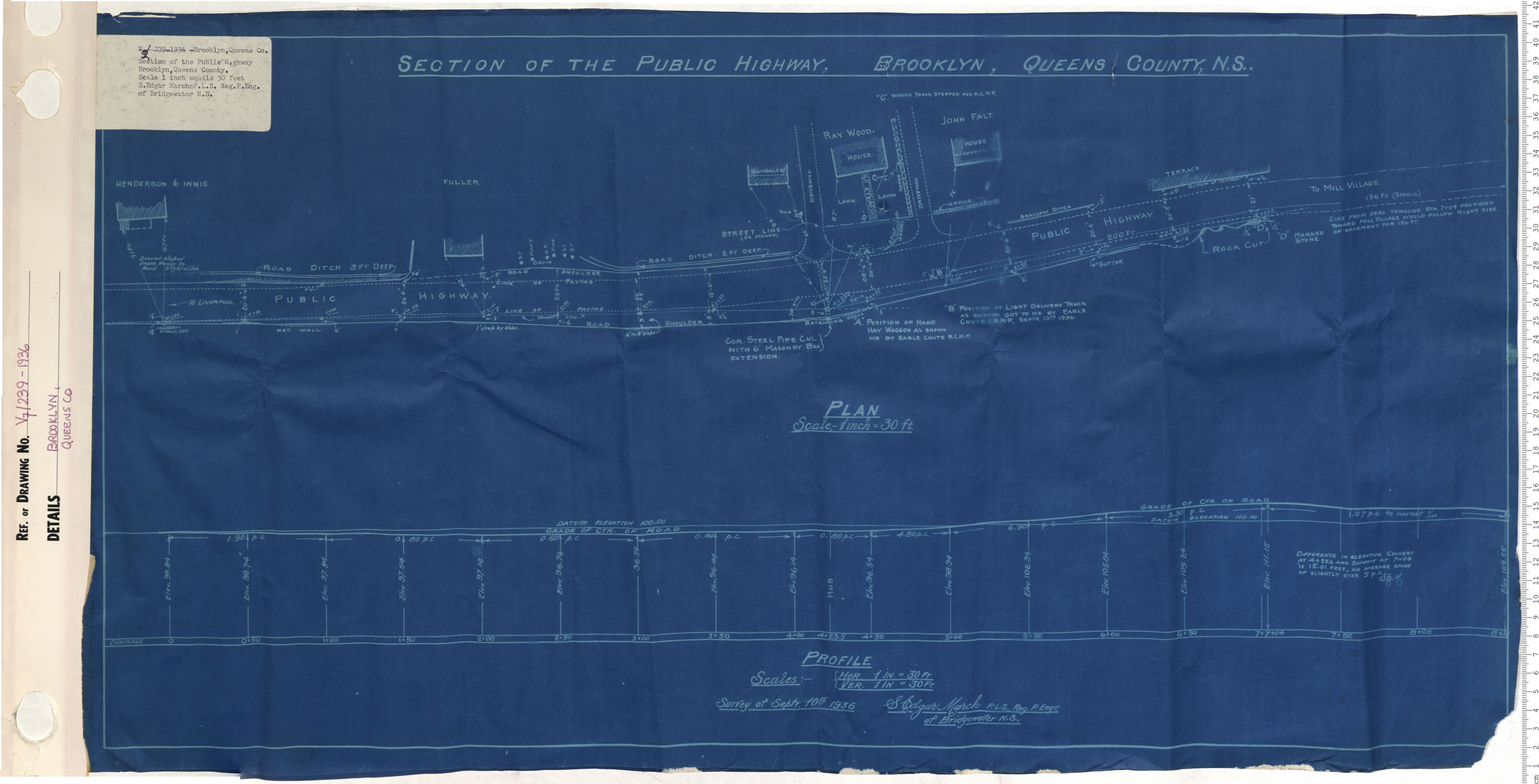
Section of the public highway Brooklyn, Queens County
Date: 1936
Reference: Nova Scotia Archives Map Collection: V7 239 Brooklyn, Nova Scotia
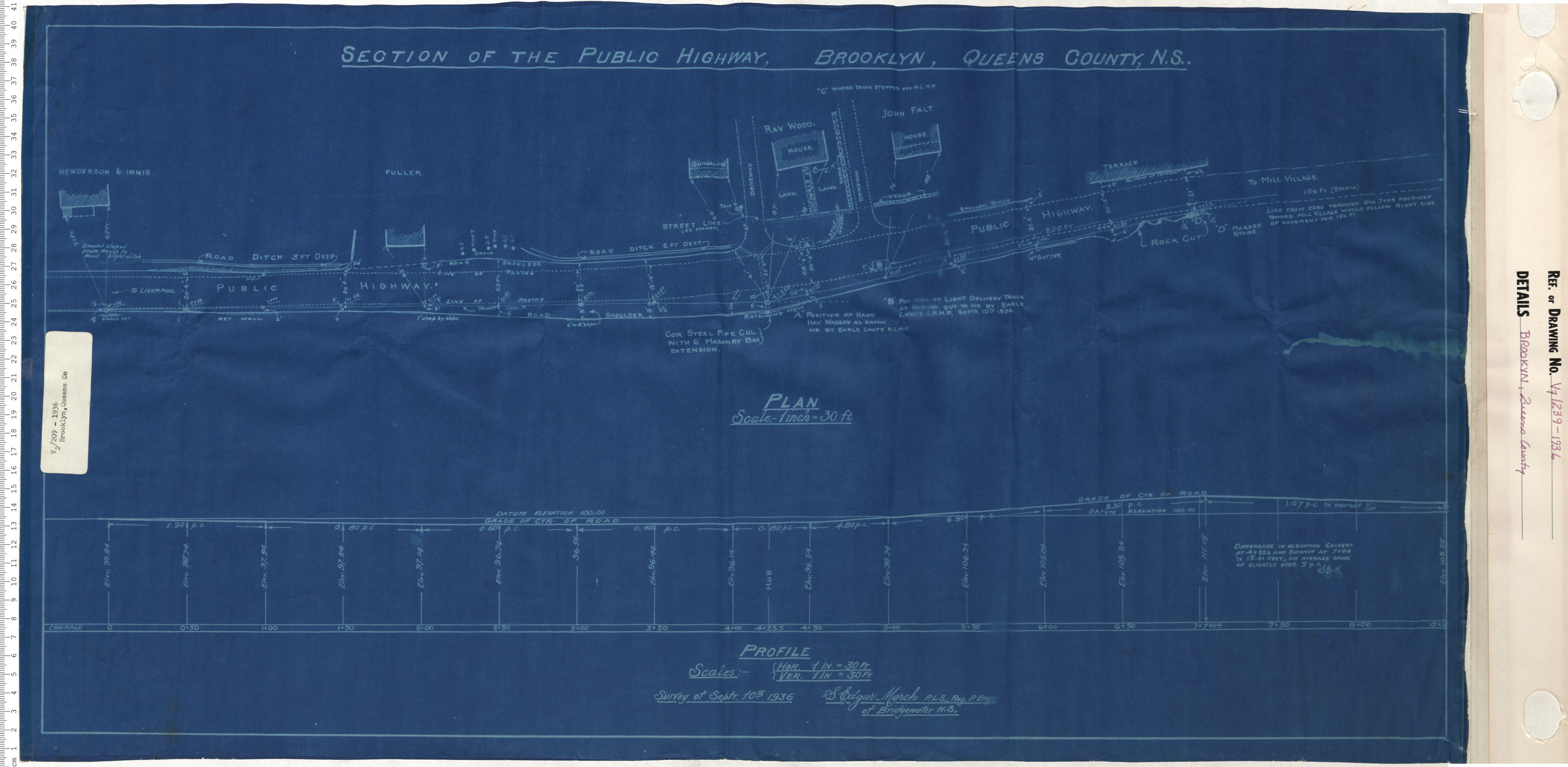
Section of the public highway Brooklyn, Queens County
Date: 1936
Reference: Nova Scotia Archives Map Collection: V7 239 Brooklyn, Nova Scotia
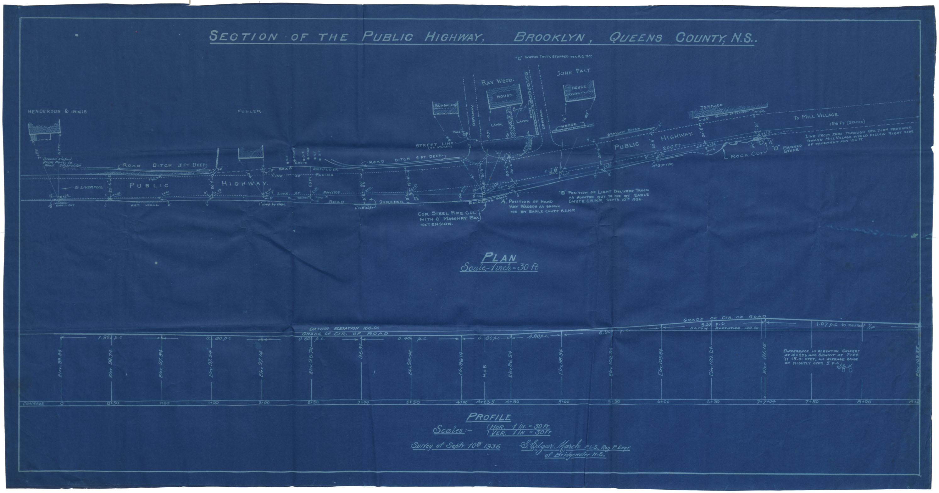
Section of the Public highway, Brooklyn Queens County
Date: 1936
Reference: Nova Scotia Archives Map Collection: F/209 - 1936
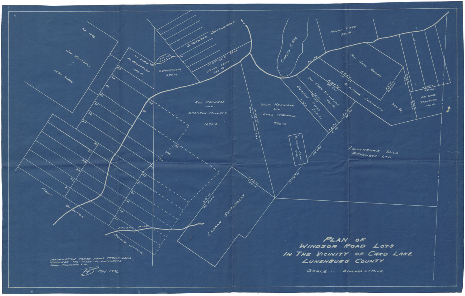
Plan of Windsor Roads Lots in the Vicinity of Card Lake, Lunenburg County
Date: May 1936
Reference: Nova Scotia Archives Map Collection: F/230 - 1936
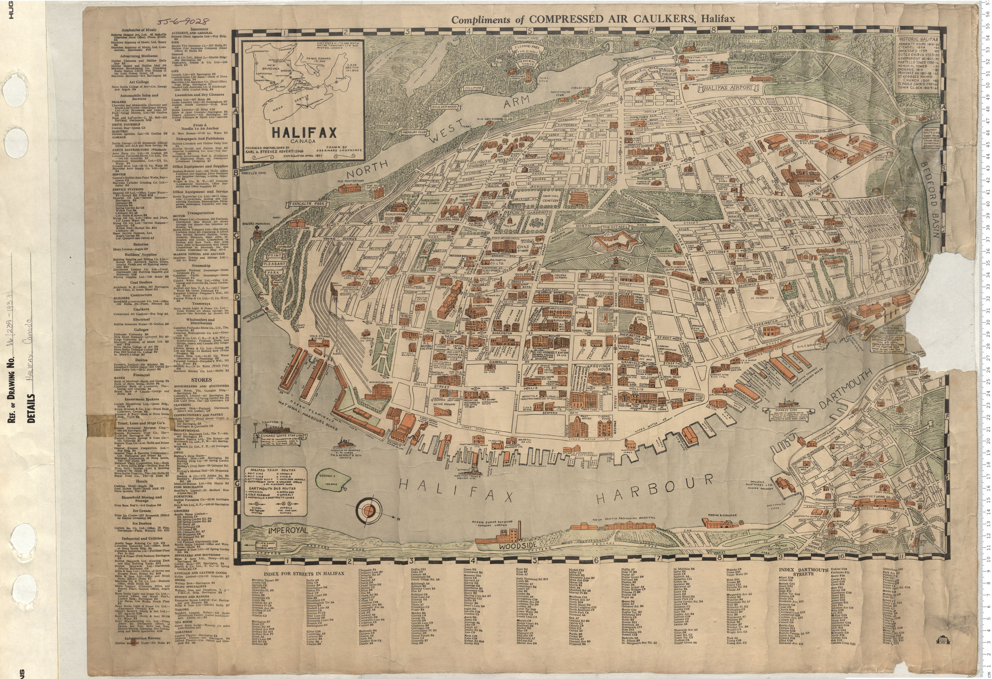
Halifax, Canada
Date: 1937
Reference: Nova Scotia Archives Map Collection: V6 239 Halifax, Nova Scotia
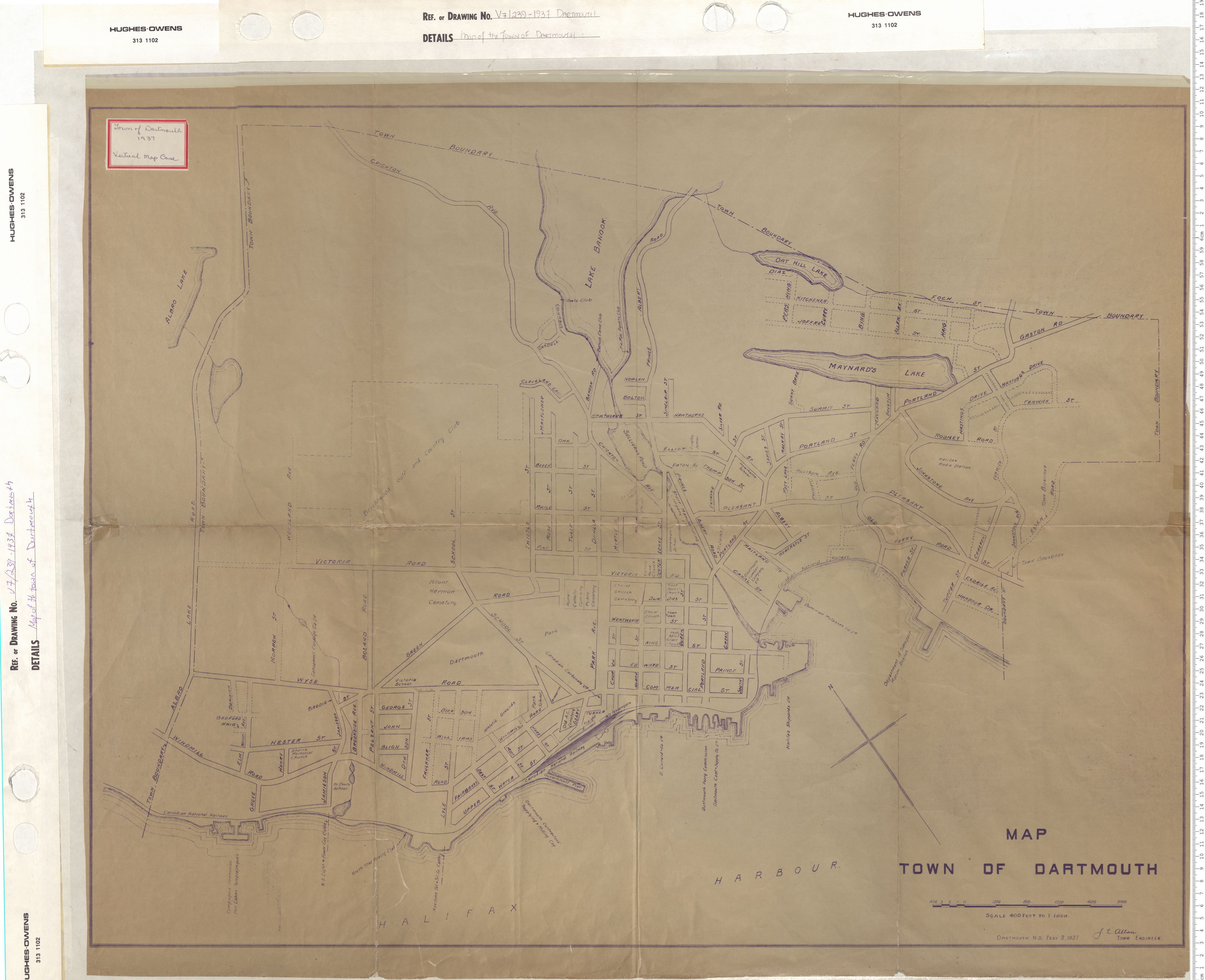
Map of the Town of Dartmouth
Date: 1937
Reference: Nova Scotia Archives Map Collection: V7 239 Dartmouth, Nova Scotia
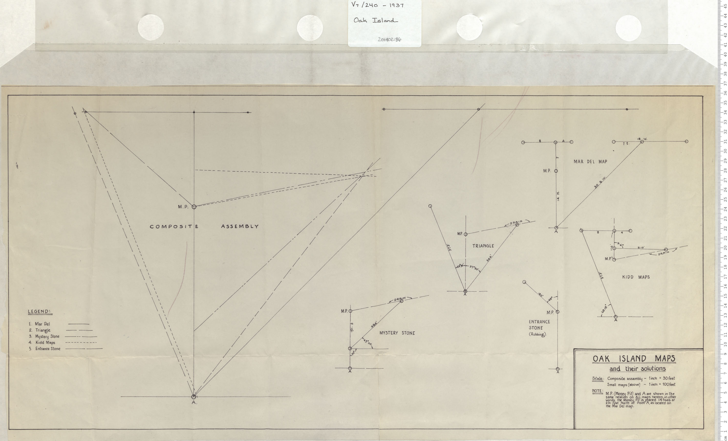
Oak Island
Date: 1937
Reference: Nova Scotia Archives Map Collection: V7 240 Oak Island, Nova Scotia

