Nova Scotia Archives
Historical Maps of Nova Scotia
Results 736 to 750 of 2074 from your search:
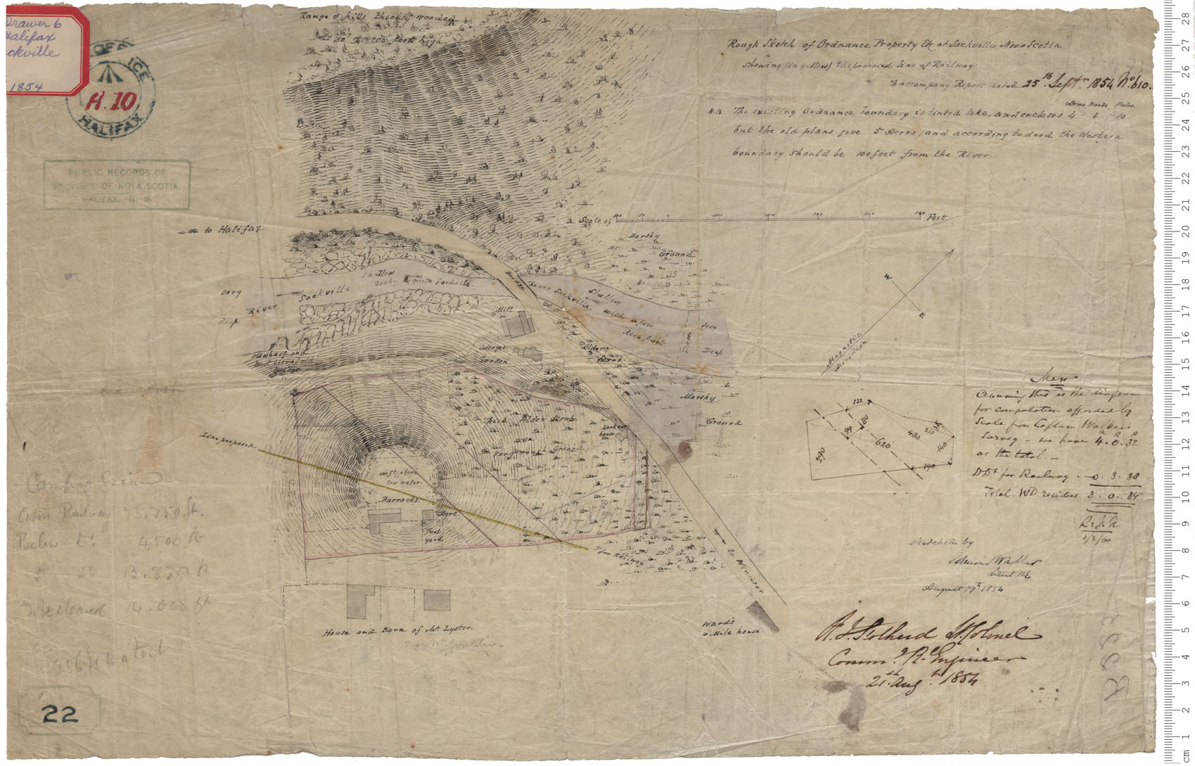
Ordnance Property
Date: 19 August 1854
Reference: Nova Scotia Archives Royal Engineers Maps and Plans A.10
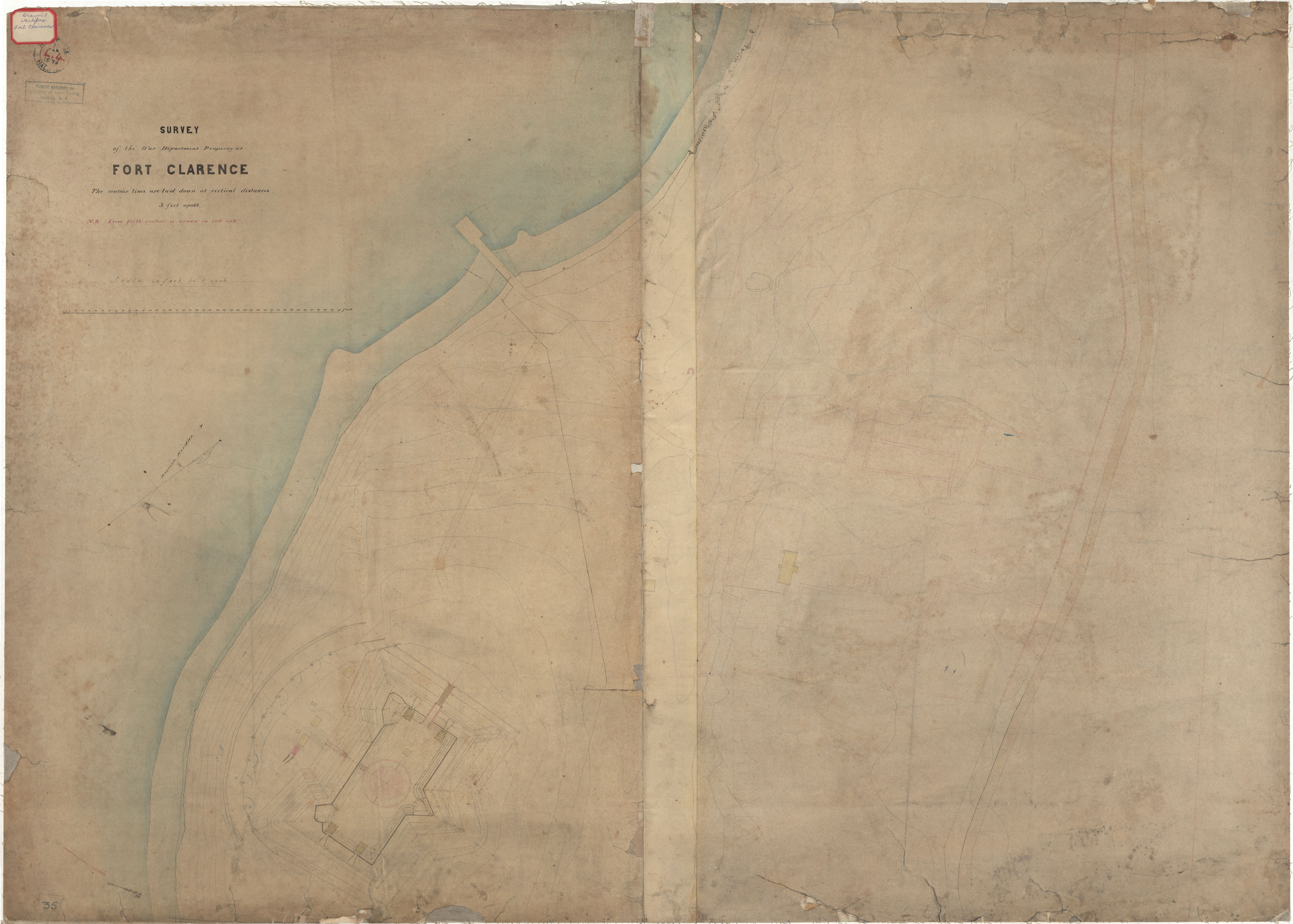
Fort Clarence - Survey by War Department
Date:
Reference: Nova Scotia Archives Royal Engineers Maps and Plans L.04
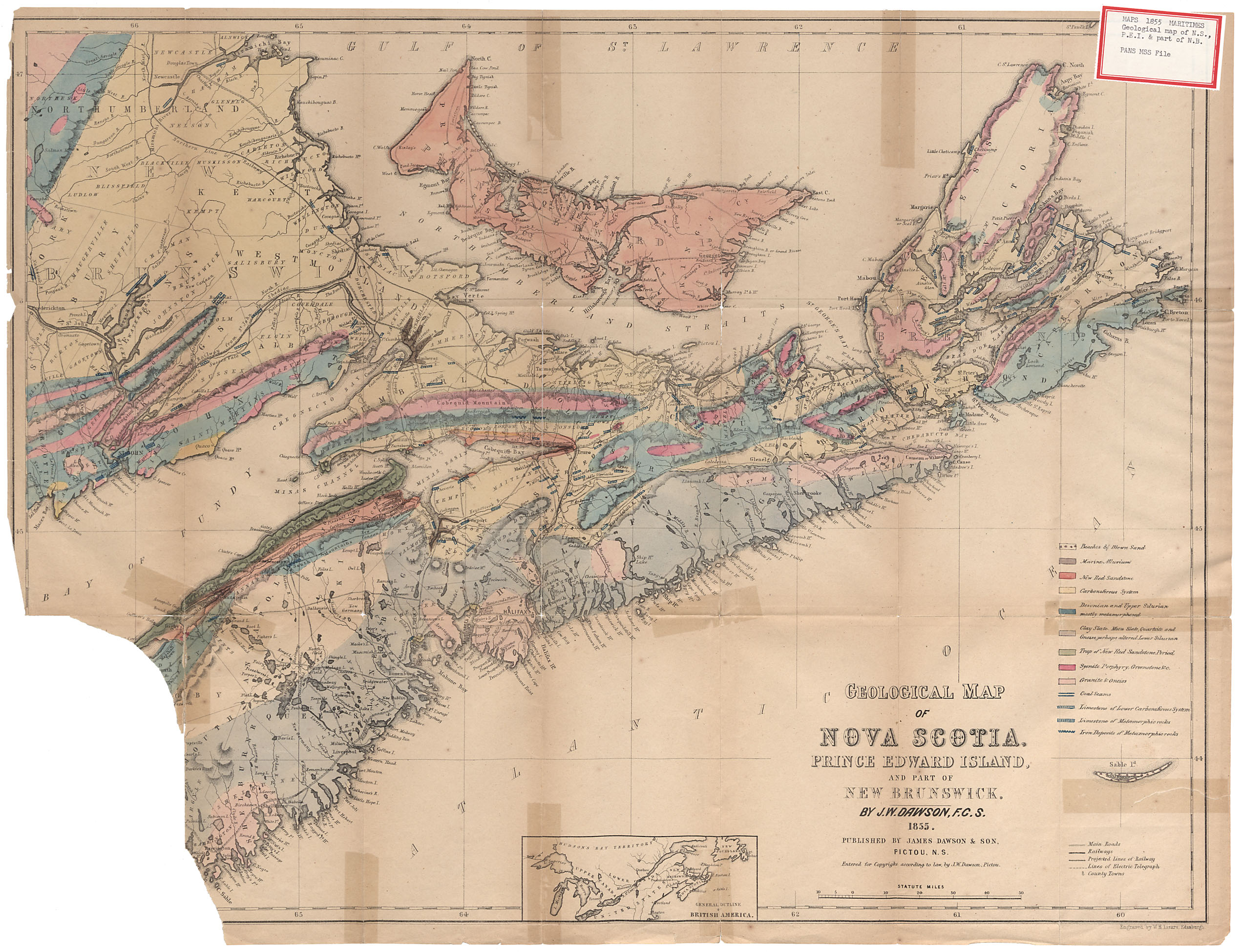
Geological Map of Nova Scotia, Prince Edward Island and Part of New Brunswick By J.W.Dawson F.S.C. 1855
Date: 1855
Reference: Nova Scotia Archives Map Collection: F/200 - 1855
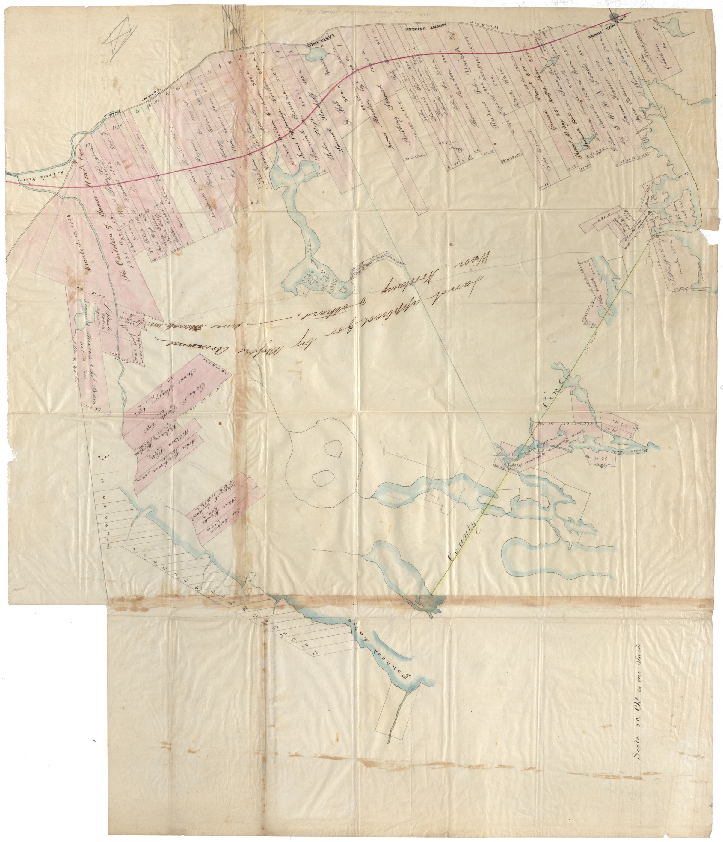
Hants & Halifax County Lands bounded by Penhook Lakes, St.Croix R., Windsor Road, & Halifax County Line
Date: 1855
Reference: Nova Scotia Archives Map Collection: F/210 - 1855
Plan of Admiralty Property, Melville Island
Date: 7 October 1856
Reference: Nova Scotia Archives Royal Engineers Maps and Plans A.36
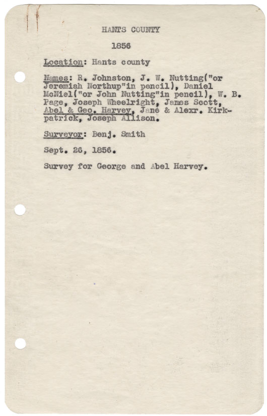
Hants County Hants County, 1856
Date: 26 September 1856
Reference: Nova Scotia Archives Map Collection: F/230 - 1856
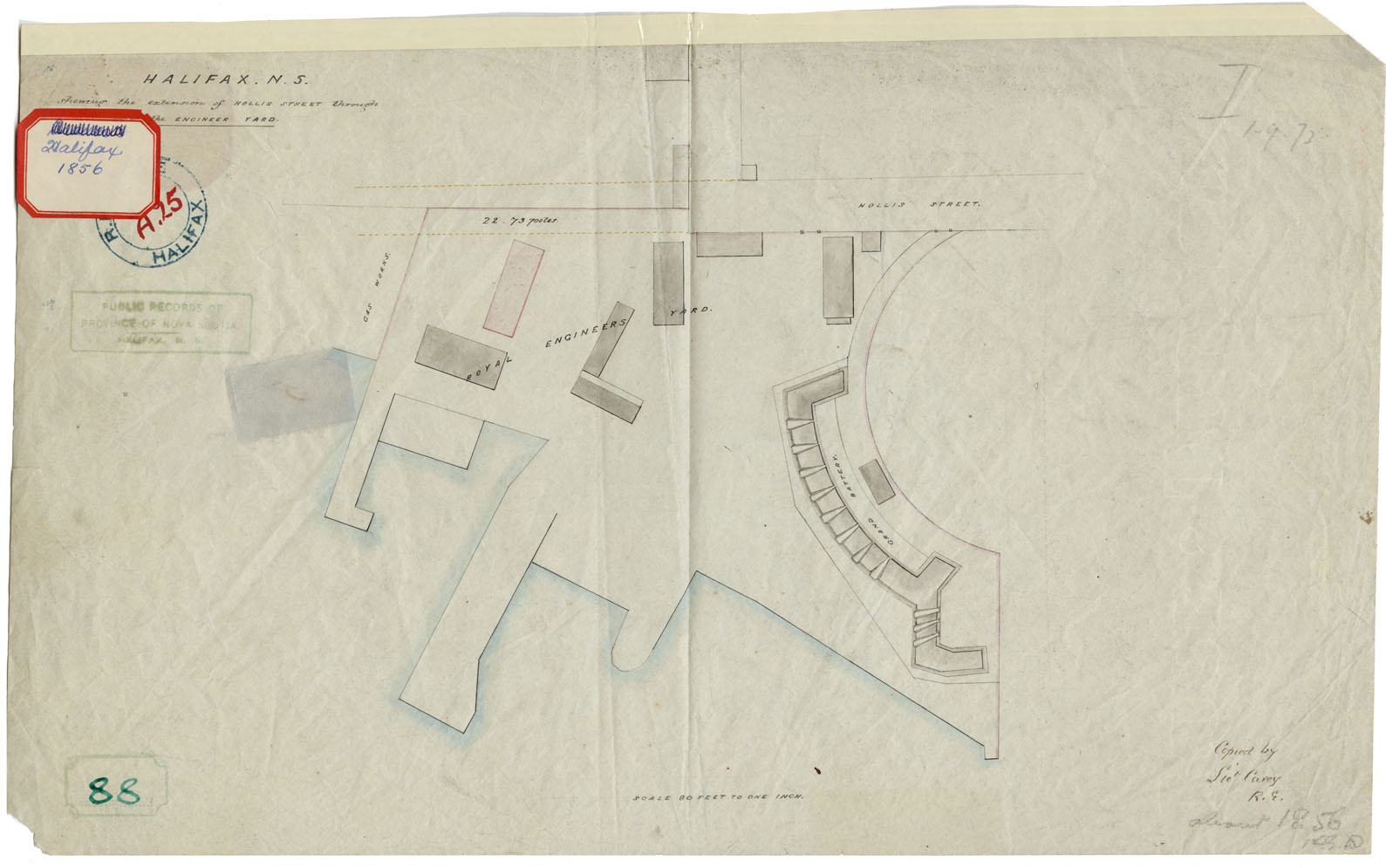
Halifax, N.S. showing the extension of Hollis Street through the Engineer Yard
Date: 1856
Reference: Nova Scotia Archives Map Collection: F/240 - 1856
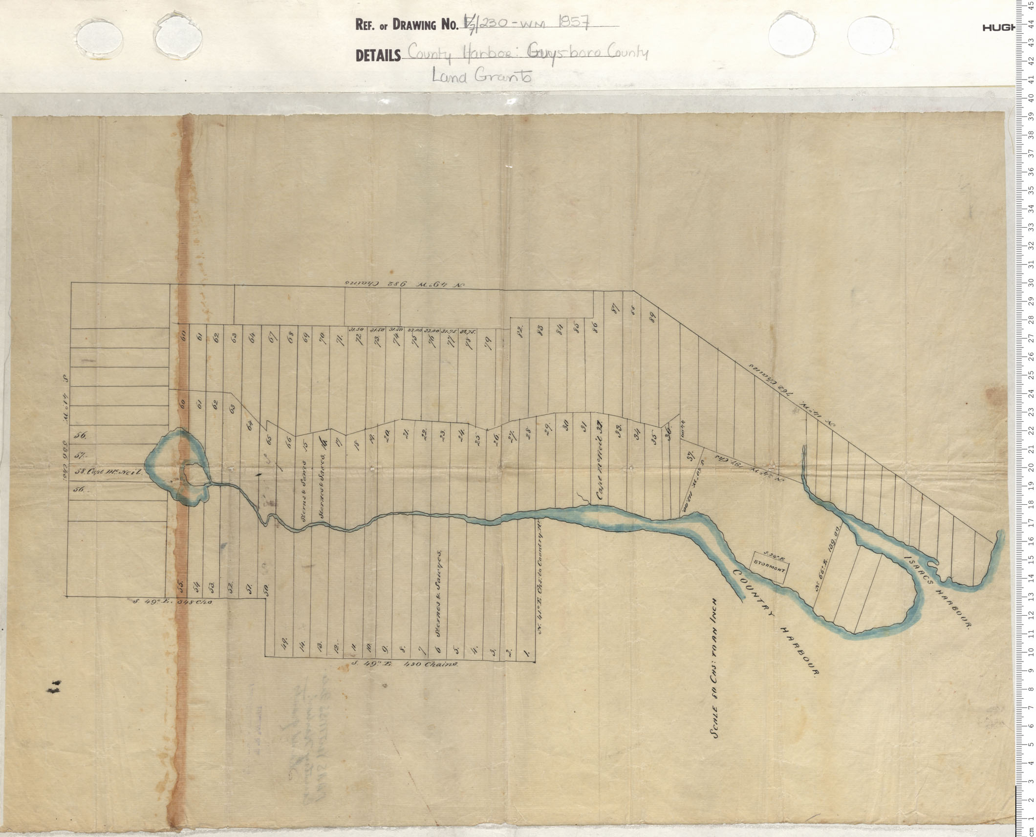
County harbour, Guysborough County, Land Grants
Date: 1857
Reference: Nova Scotia Archives Map Collection: V7 230 County Harbour, Nova Scotia
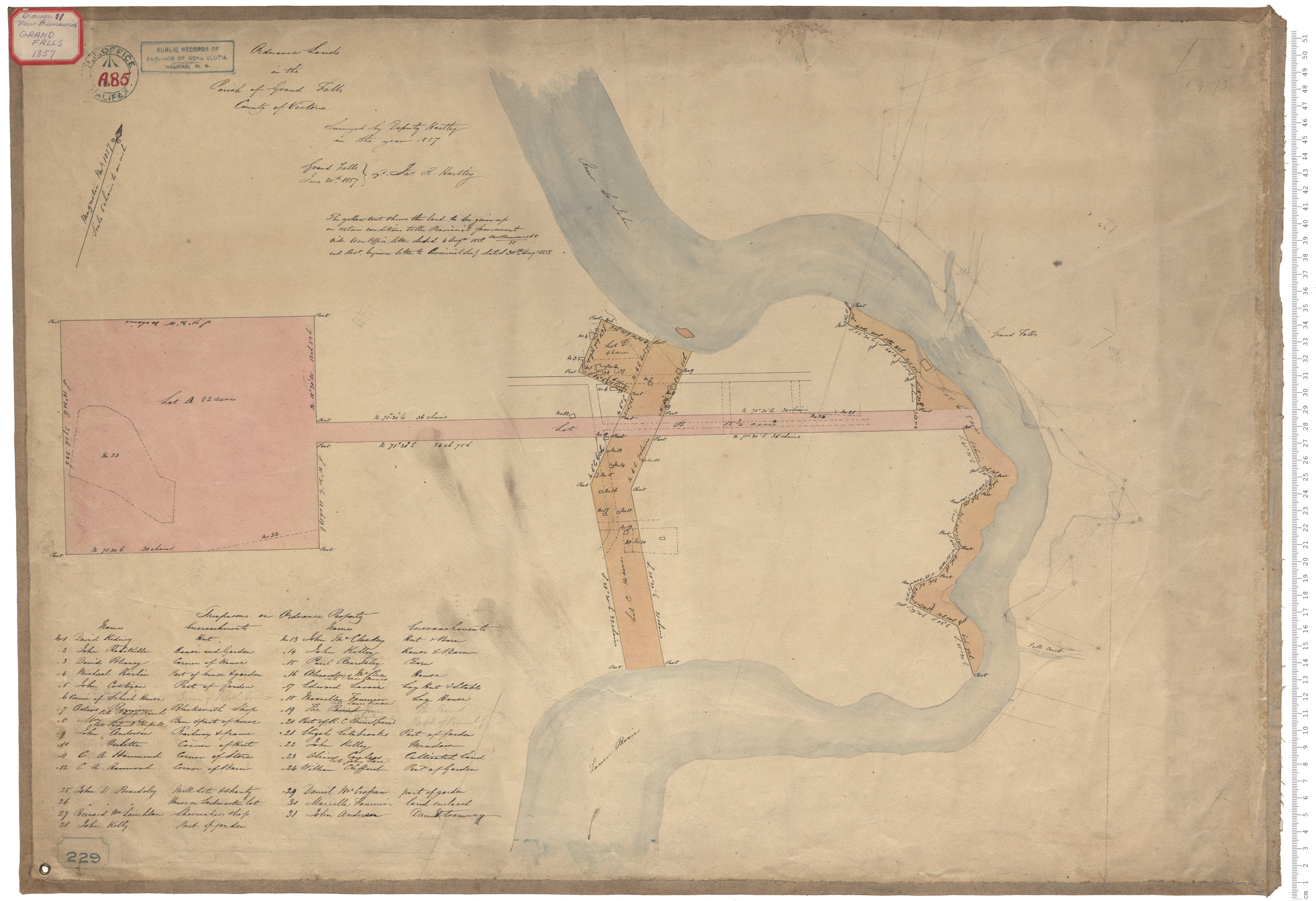
Ordnance Lands
Date: 20 June 1857
Reference: Nova Scotia Archives Royal Engineers Maps and Plans A.85
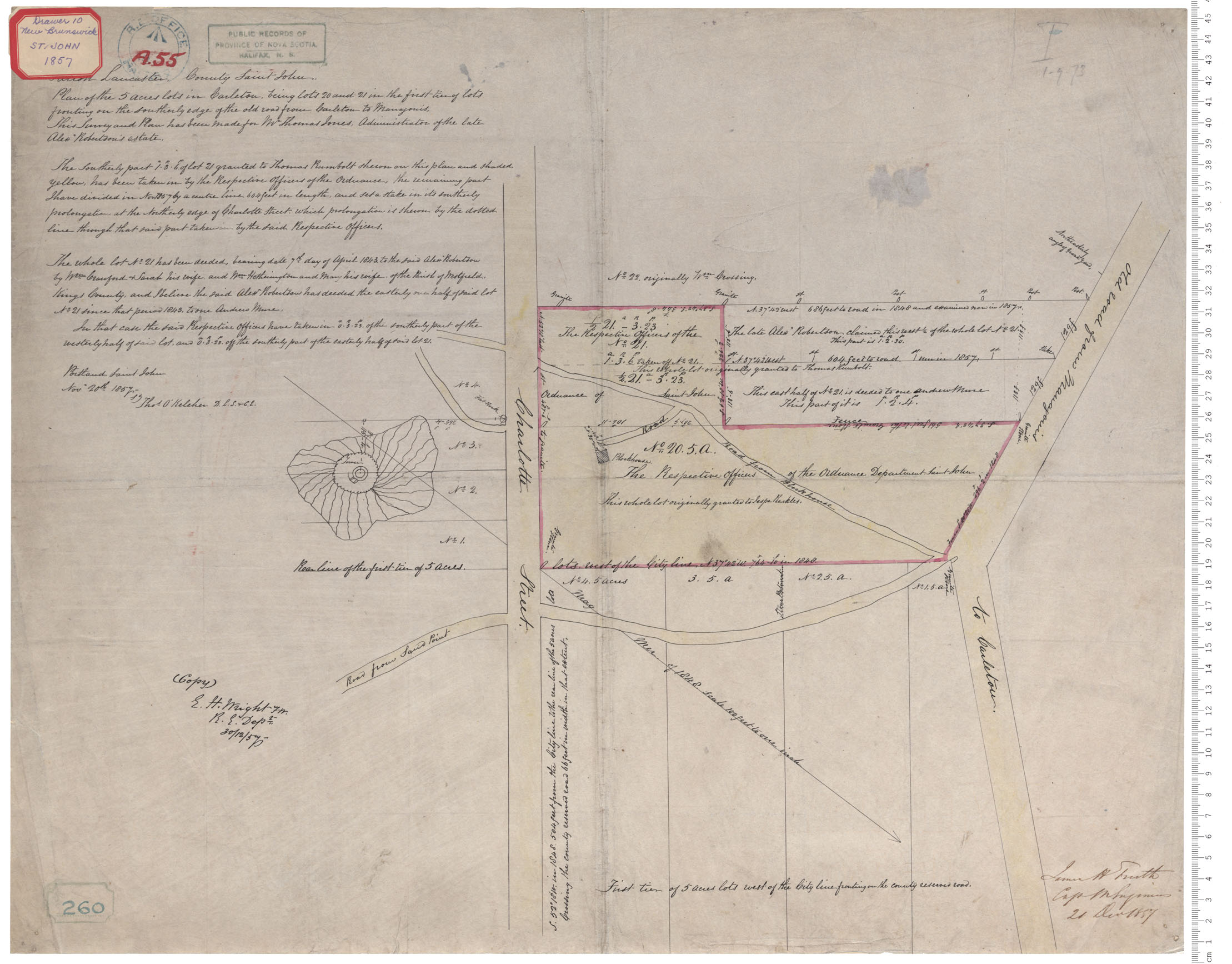
Carleton - Saint John
Date: 20 November 1857
Reference: Nova Scotia Archives Royal Engineers Maps and Plans A.55
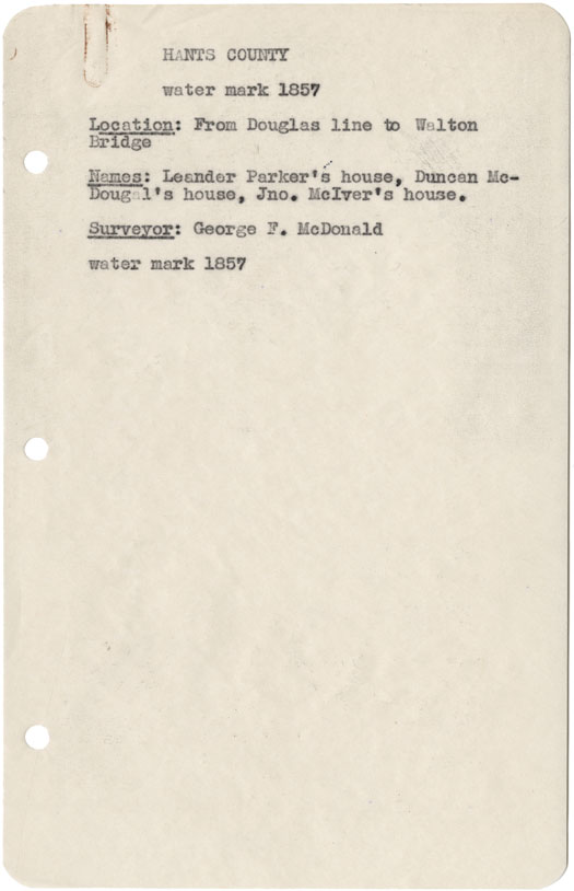
Hants County from Douglas line to Walton Bridge w.m.1857
Date: 1857
Reference: Nova Scotia Archives Map Collection: F/230 - 1857
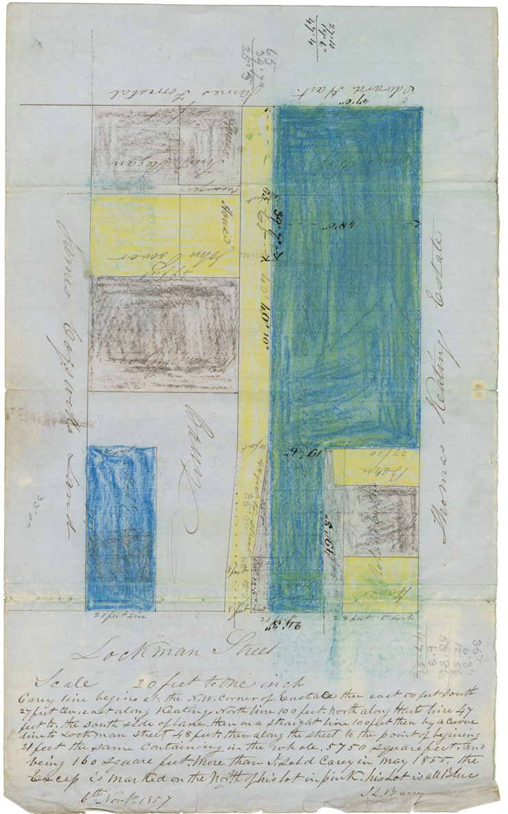
Plan: Mr Barry's Lots Lockman Street
Date: 6 November 1857
Reference: Nova Scotia Archives Map Collection: F/240 - 1857
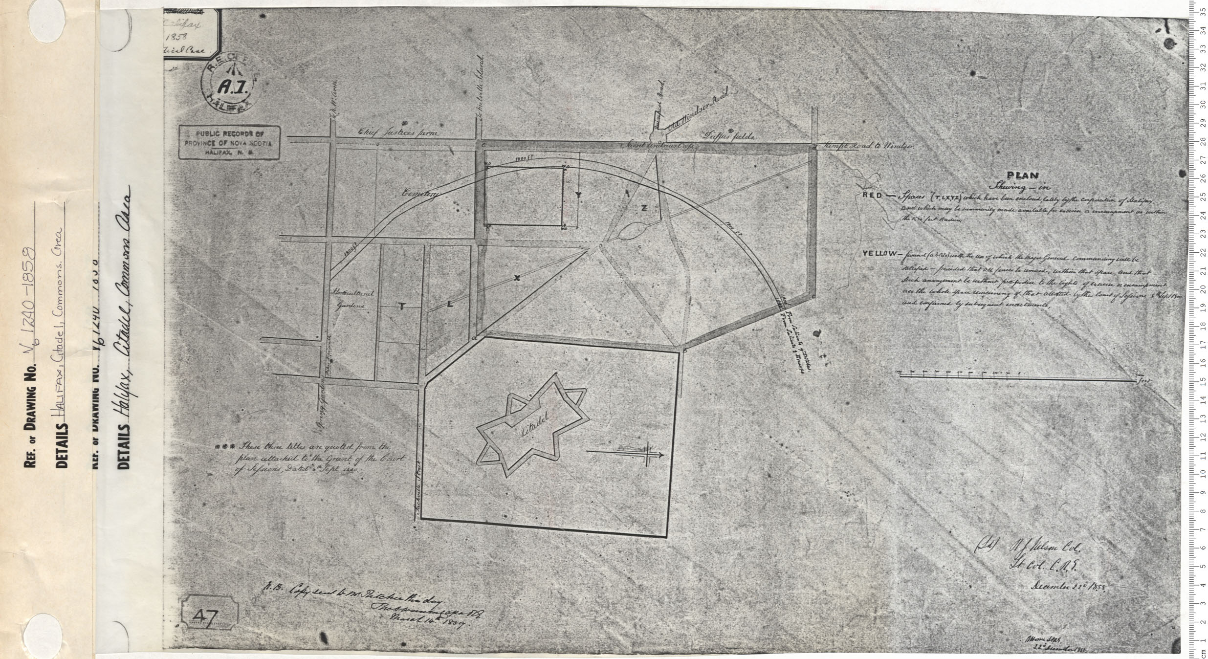
Halifax, Citadel, Commons Area
Date: 1858
Reference: Nova Scotia Archives Map Collection: V6 240 Halifax, Nova Scotia
