Nova Scotia Archives
Historical Maps of Nova Scotia
Results 1726 to 1740 of 2074 from your search:
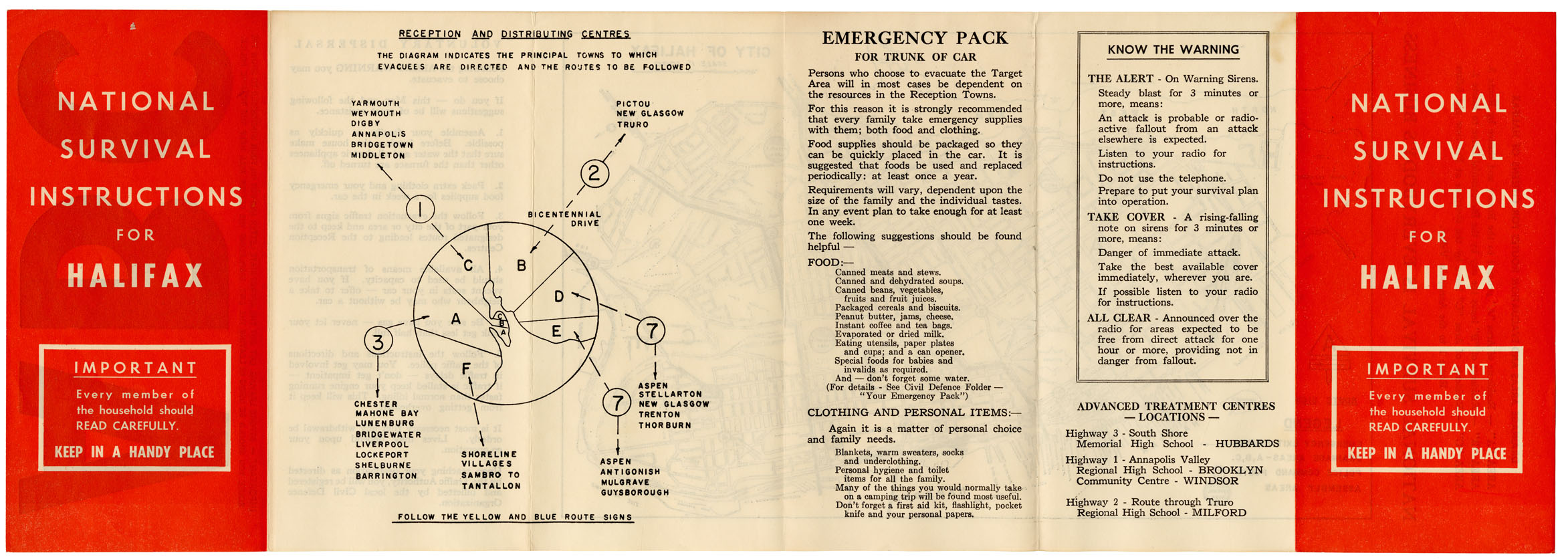
National Survival [Map] Instructions for Halifax
Date: 1960
Reference: Nova Scotia Archives Map Collection: F/240 - 1960
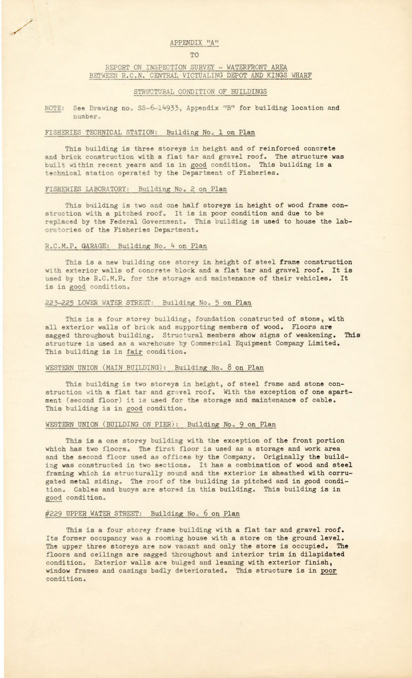
Inspection Survey Waterfront Area
Date: 26 September 1960
Reference: Nova Scotia Archives Map Collection: F/240 - 1960
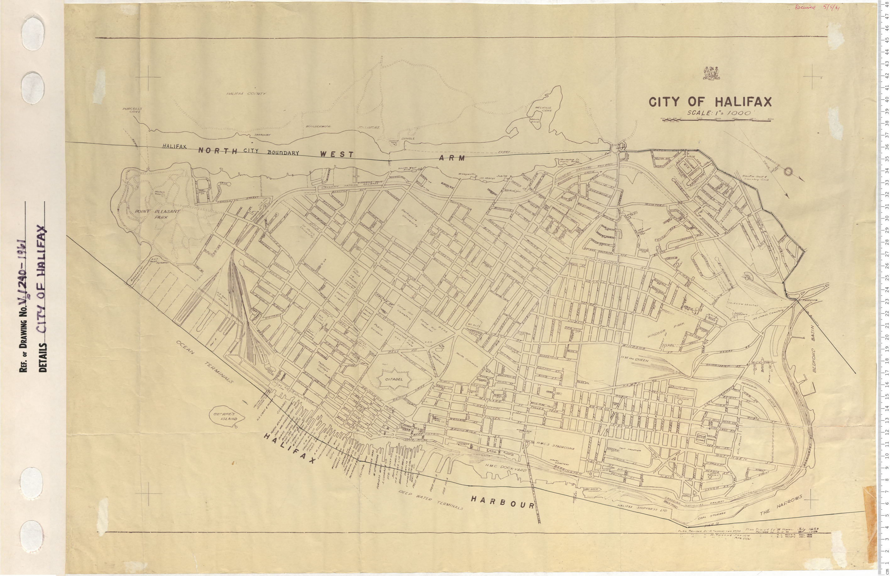
City of Halifax
Date: 1961
Reference: Nova Scotia Archives Map Collection: V6 240 Halifax, Nova Scotia
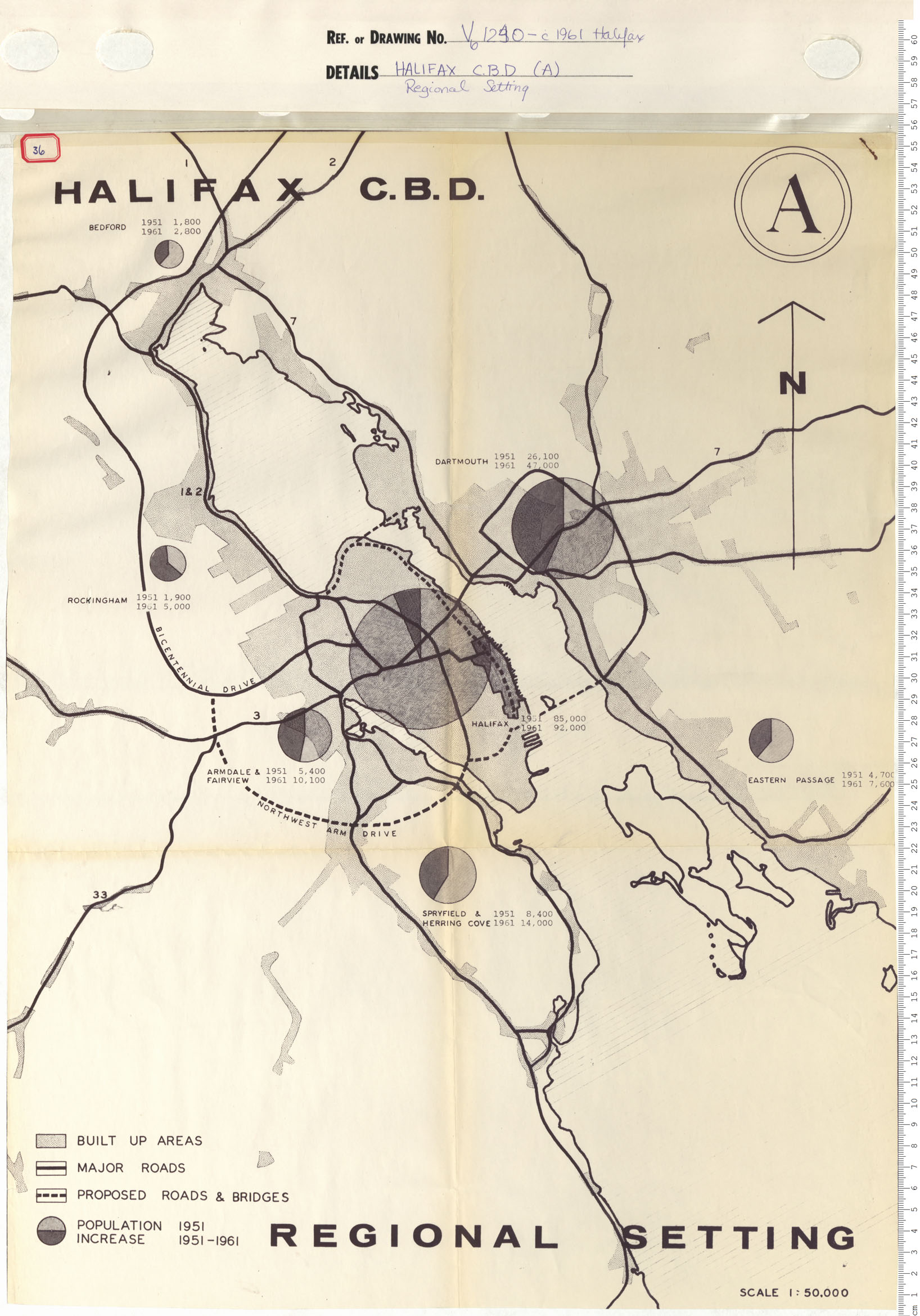
Halifax C.B.D. (A) Regional Setting
Date: 1961
Reference: Nova Scotia Archives Map Collection: V6 240 Halifax, Nova Scotia
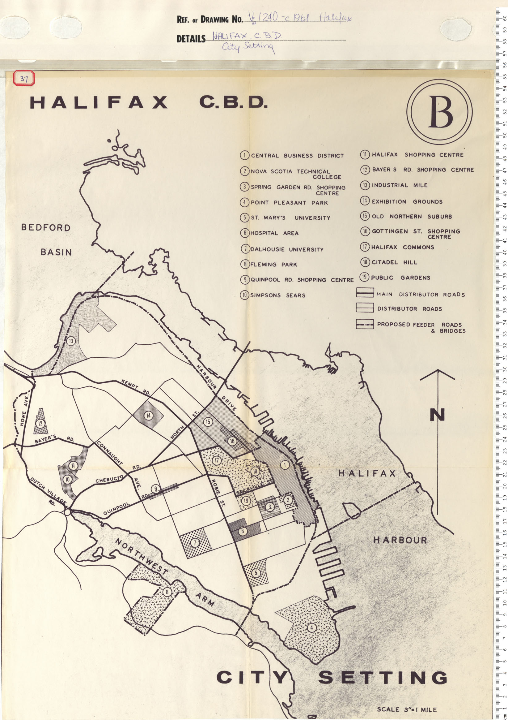
Halifax C.B.D. (B) City Setting
Date: 1961
Reference: Nova Scotia Archives Map Collection: V6 240 Halifax, Nova Scotia
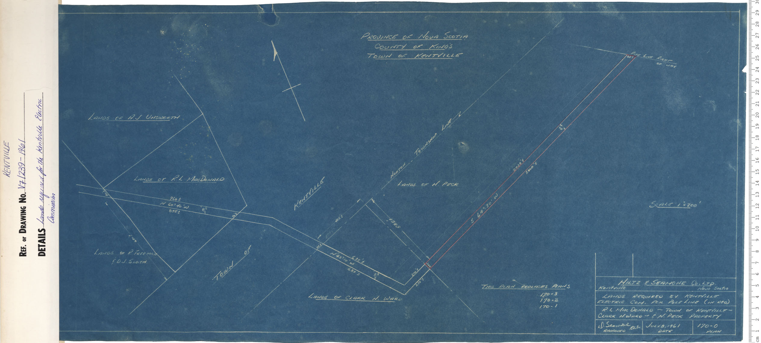
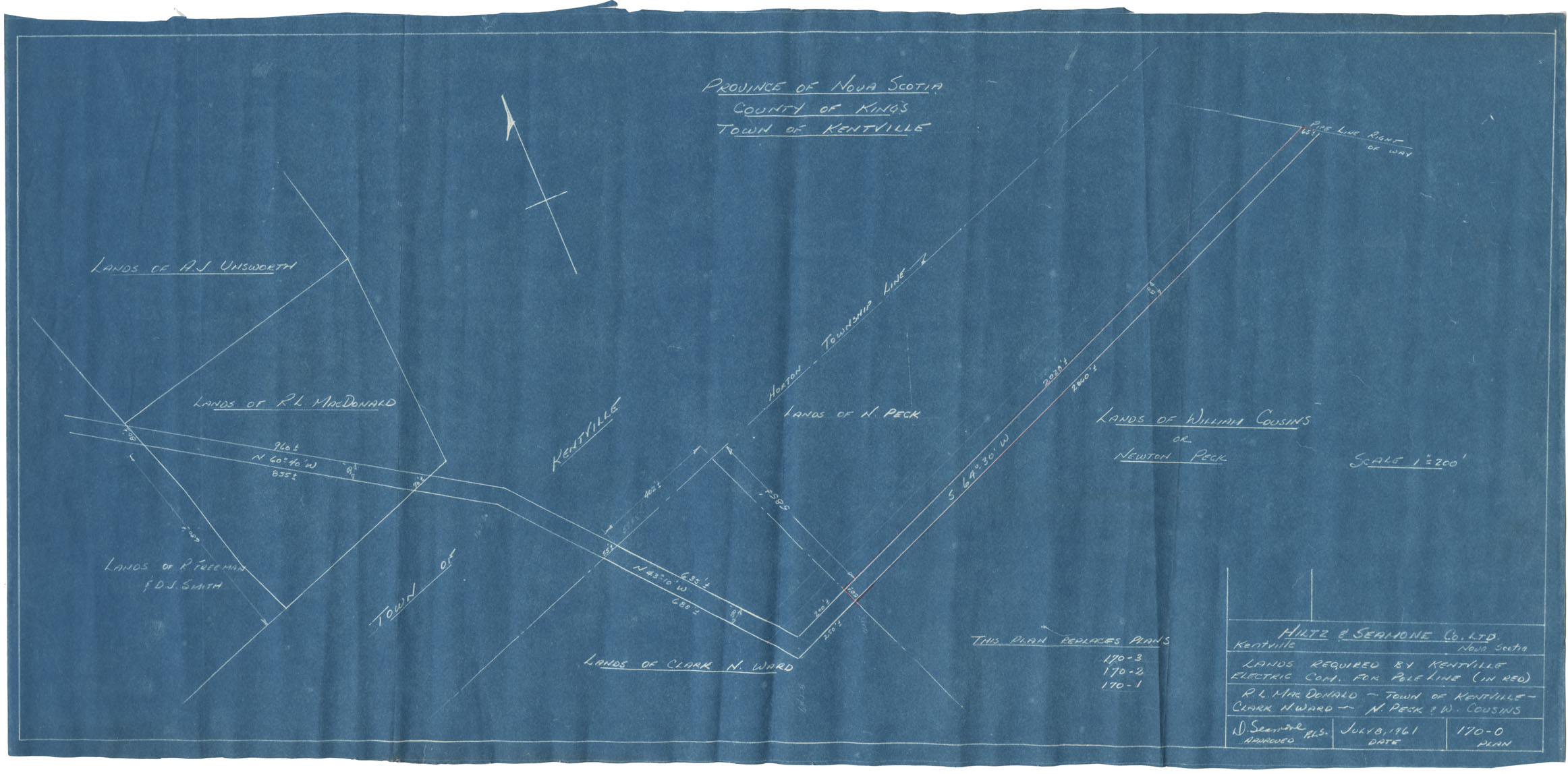
Lands required for Kentville Electric Commission
Date: 1961
Reference: Nova Scotia Archives Map Collection: V7 239 Kentville, Nova Scotia
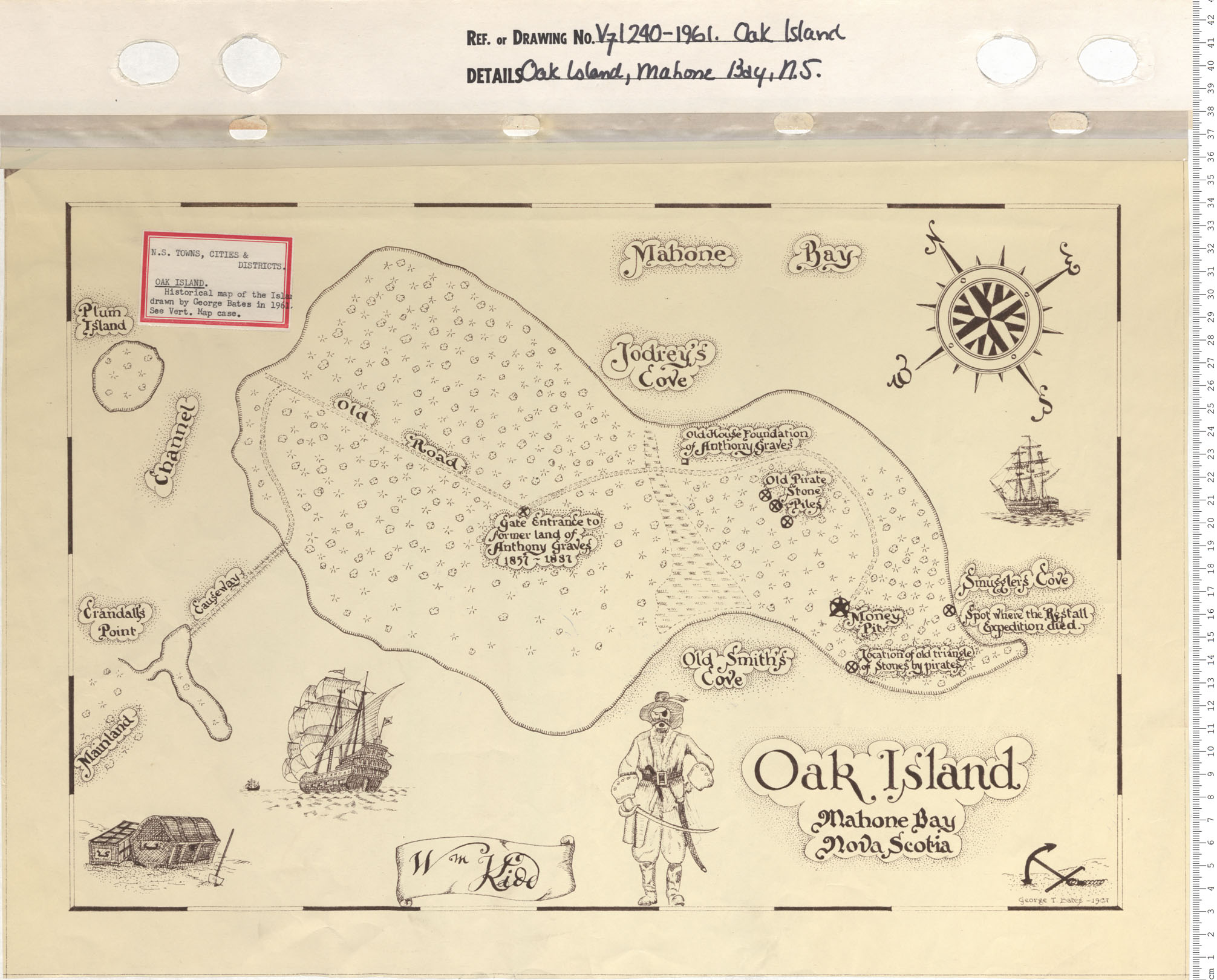
Oak Island, Mahone Bay, N.S.
Date: 1961
Reference: Nova Scotia Archives Map Collection: V7 240 Oak Island, Nova Scotia
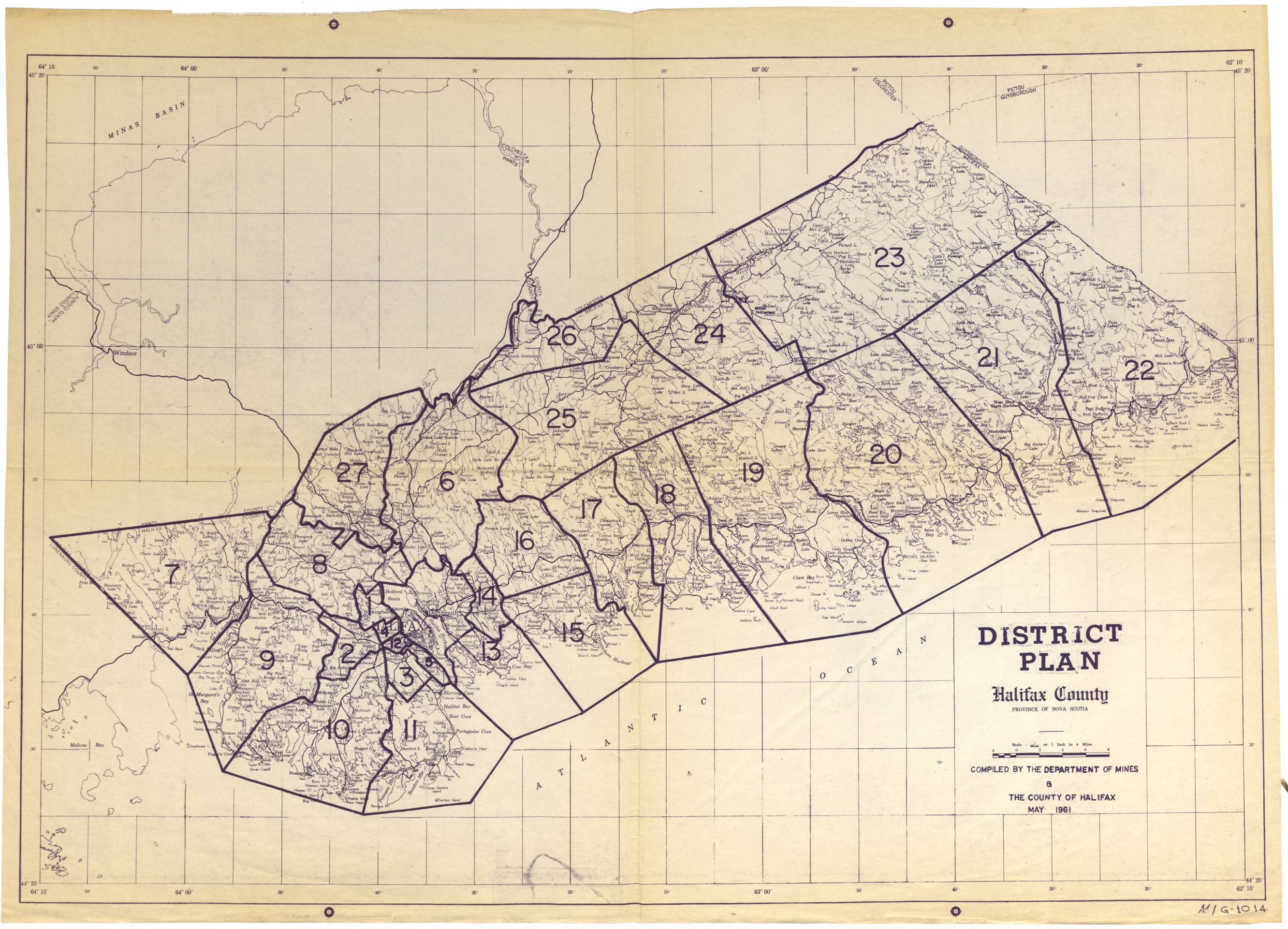
District Plan Halifax County Electrical Map
Date: 1961
Reference: Nova Scotia Archives Map Collection: F/220 - 1961
Town of Kentville Lands Required by Kentville Electrical Com. For Pole Line
Date: 8 July 1961
Reference: Nova Scotia Archives Map Collection: F/239 - 1961
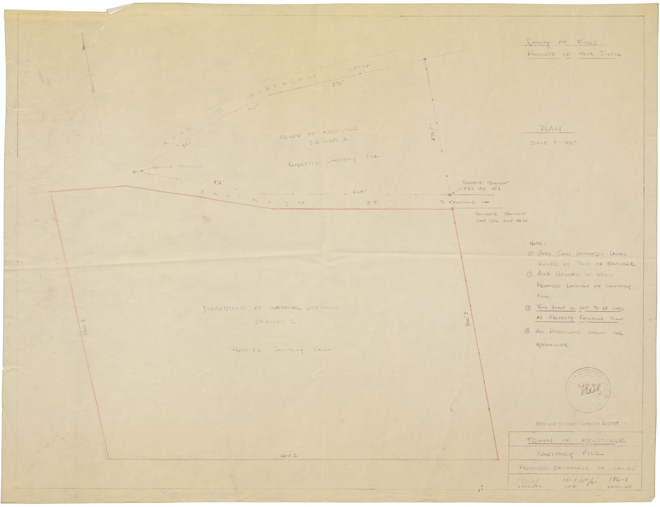
Town of Kentville Sanitary Fill Proposed Exchange of Land
Date: 30 May 1961
Reference: Nova Scotia Archives Map Collection: F/239 - 1961
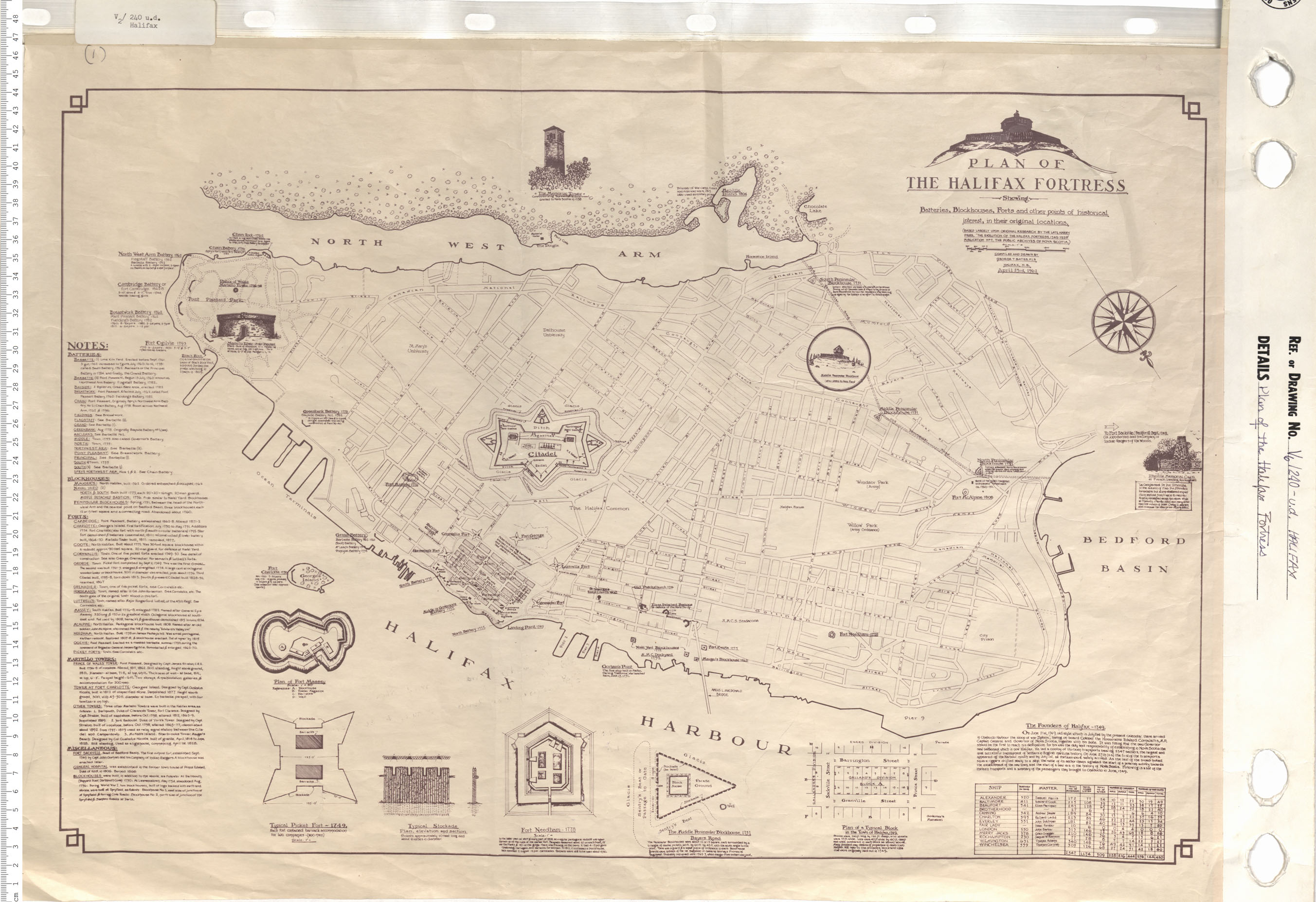
Plan of the Halifax Fortress Showing Batteries, Blockhouses, Forts and other points of historical intrest, in their original locations.
Date: April 23 1962
Reference: Nova Scotia Archives Map Collection: V6 240 Halifax, Nova Scotia
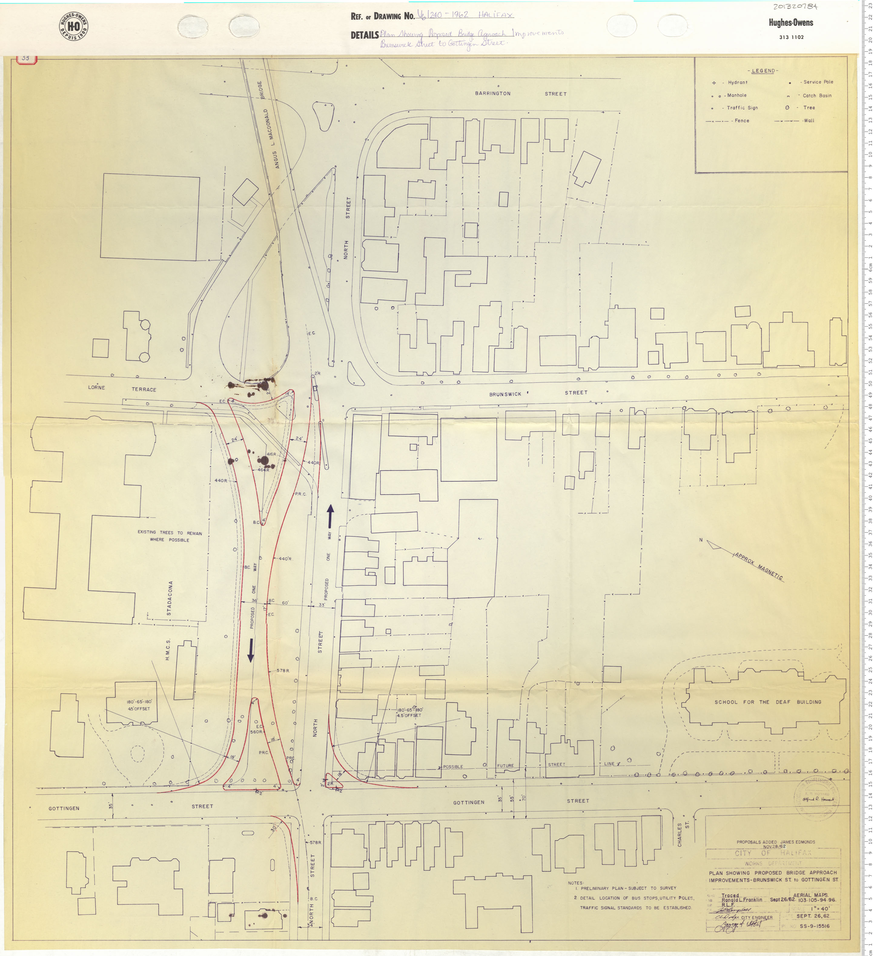
Plan Showing Proposed Bridge Approach Improvements Brunswick Street to Gottingen Street
Date: 1962
Reference: Nova Scotia Archives Map Collection: V6 240 Halifax, Nova Scotia
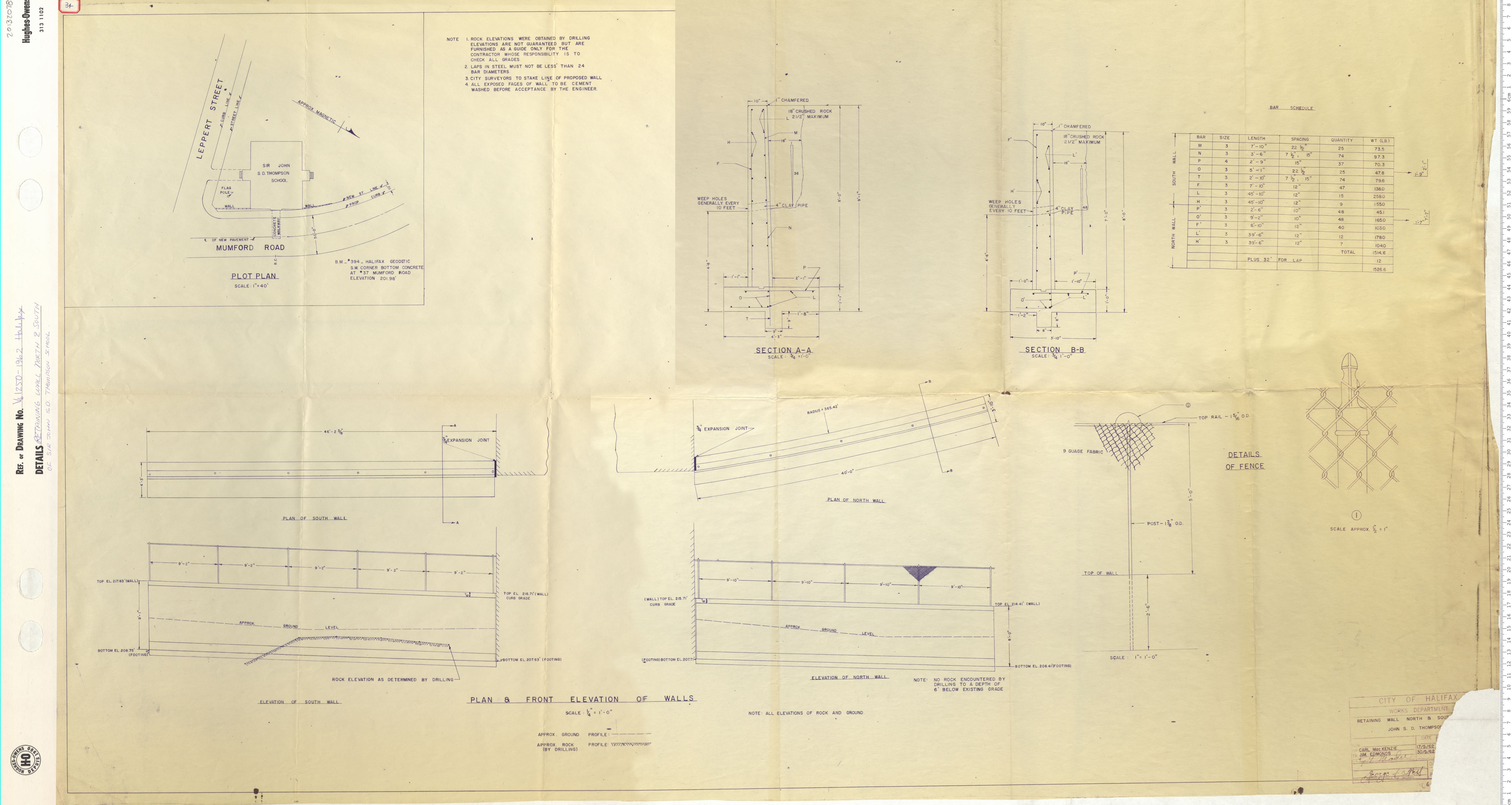
Retaining Wall North And South of Sir John S.D. Thompson School
Date: 1962
Reference: Nova Scotia Archives Map Collection: V6 250 Halifax, Nova Scotia
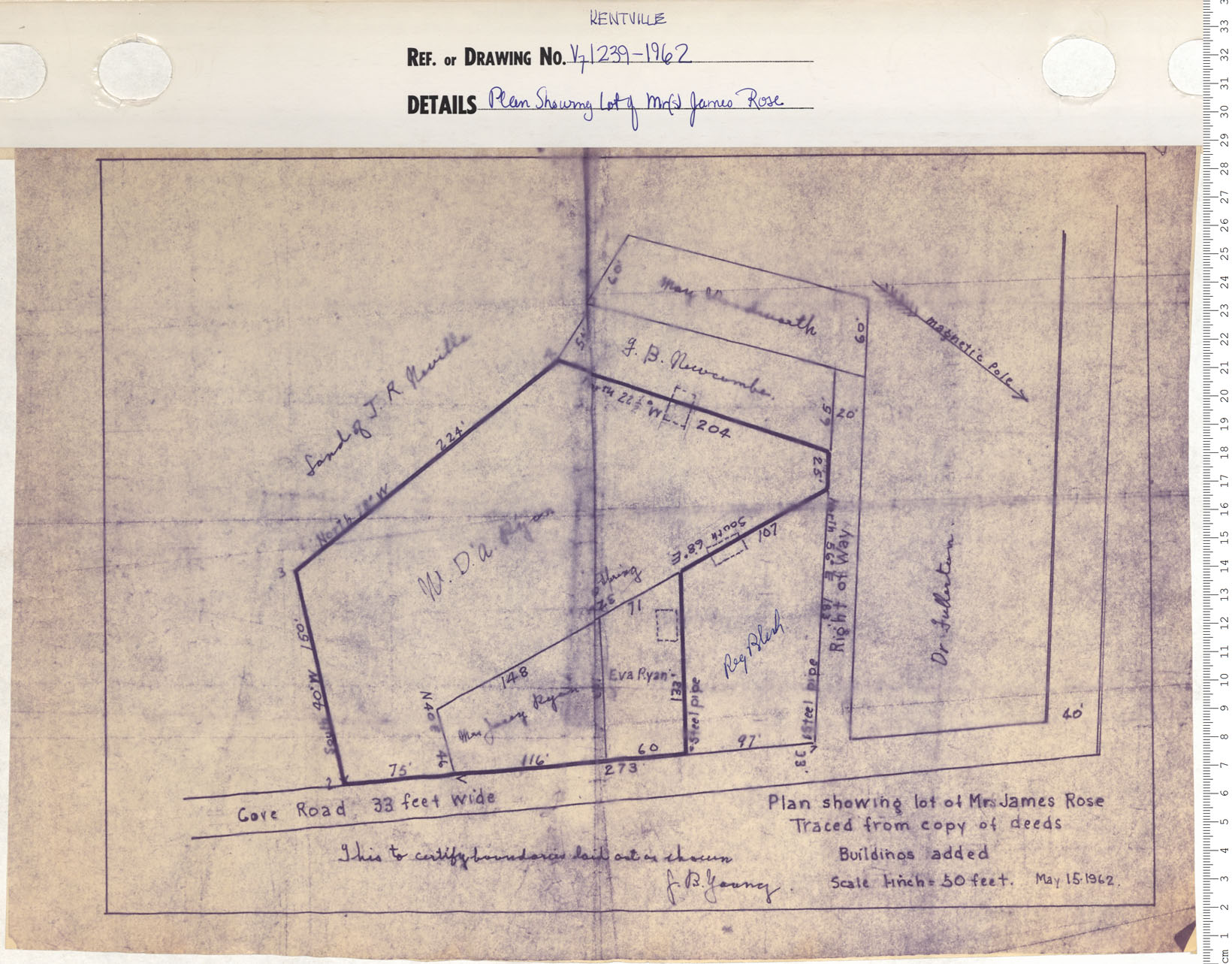
Plan Showing Lot of Mr(s) James Rose
Date: 1962
Reference: Nova Scotia Archives Map Collection: V7 239 Kentville, Nova Scotia
