Nova Scotia Archives
Historical Maps of Nova Scotia
Results 1336 to 1350 of 2074 from your search:
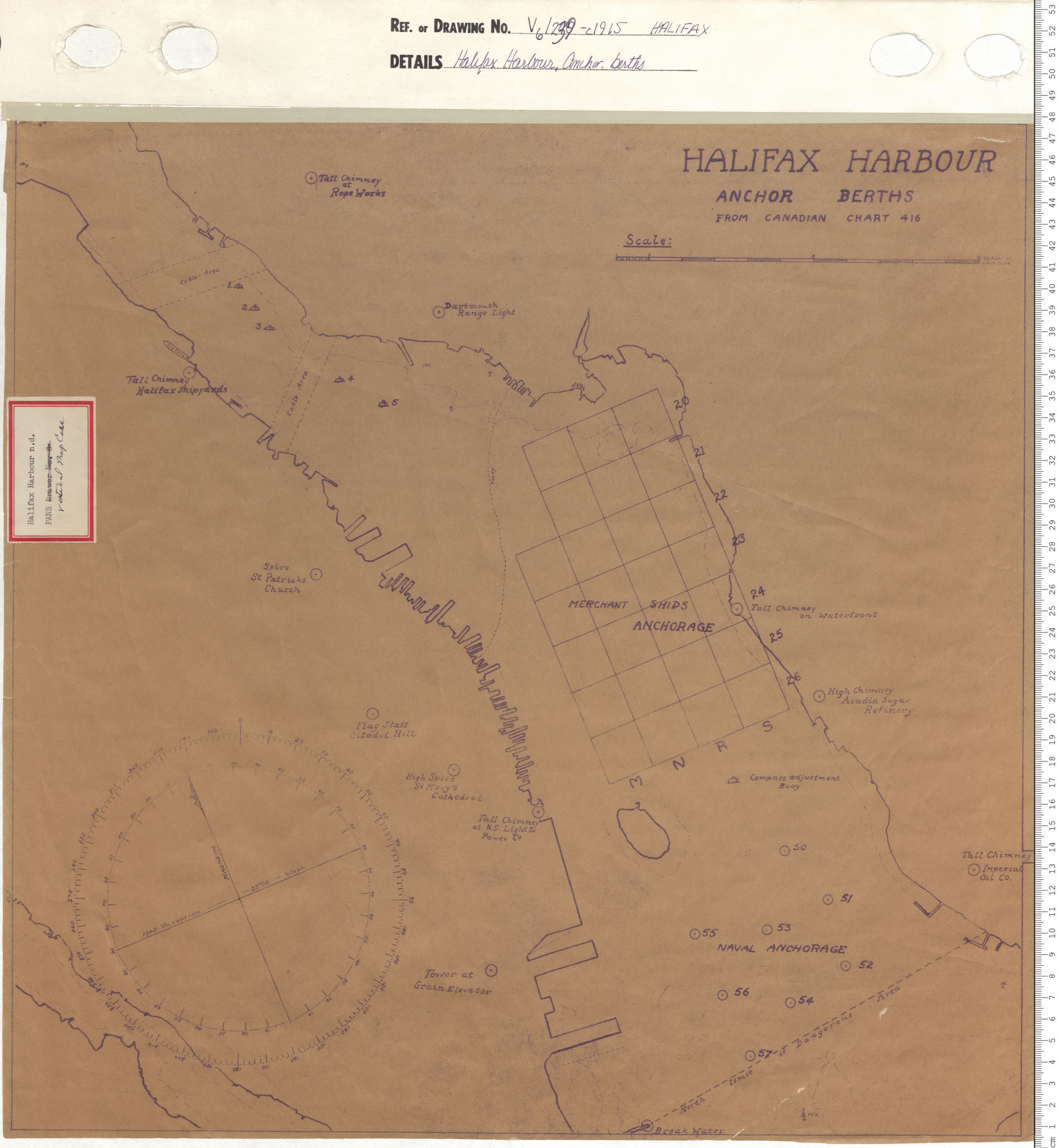
Halifax Harbour Anchor Berths
Date: 1915
Reference: Nova Scotia Archives Map Collection: V6 239 Halifax, Nova Scotia
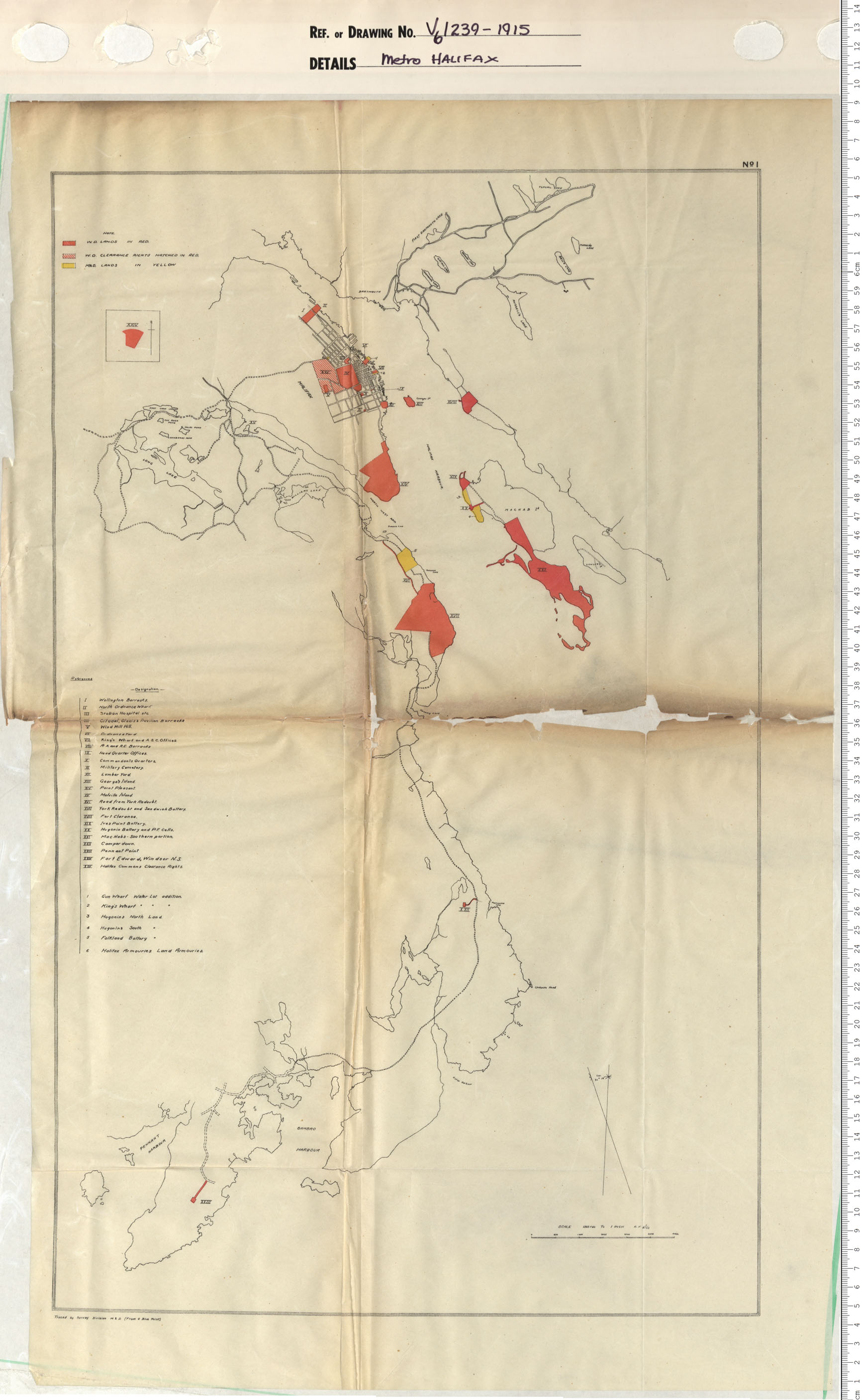
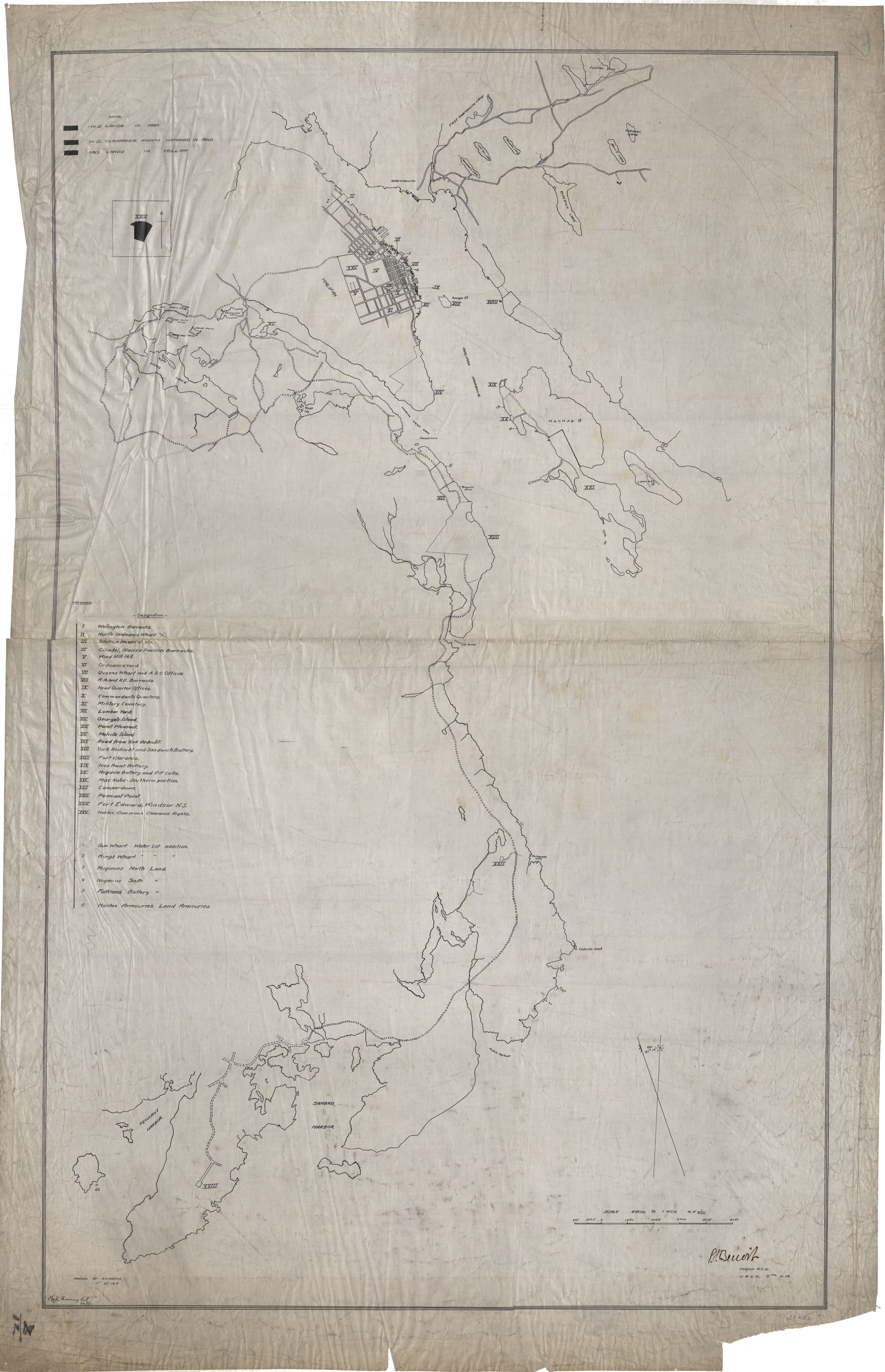
Metro Halifax
Date: 1915
Reference: Nova Scotia Archives Map Collection: V6 239 Halifax, Nova Scotia
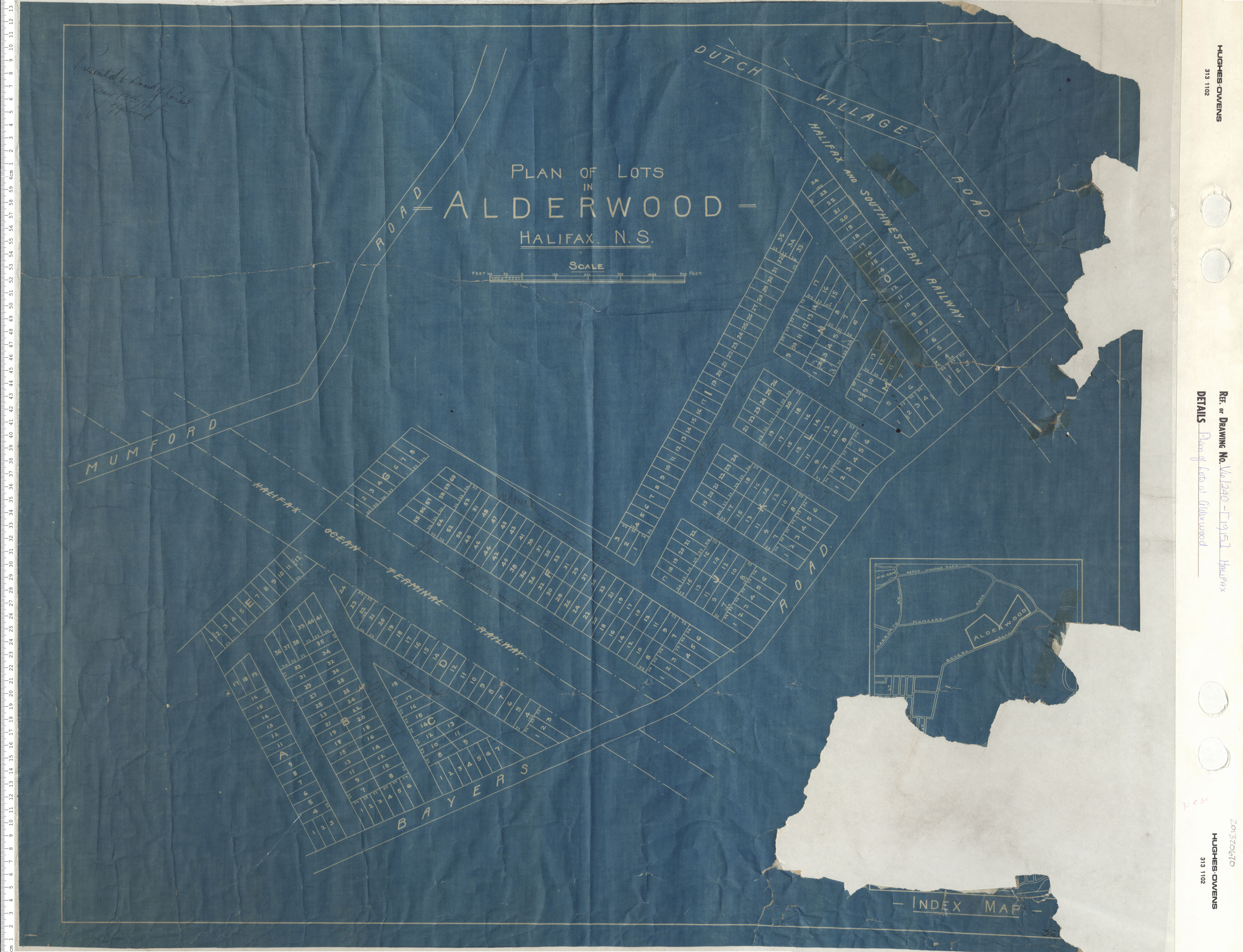
Plan of lots at Alderwood
Date: 1915
Reference: Nova Scotia Archives Map Collection: V6 240 Halifax, Nova Scotia
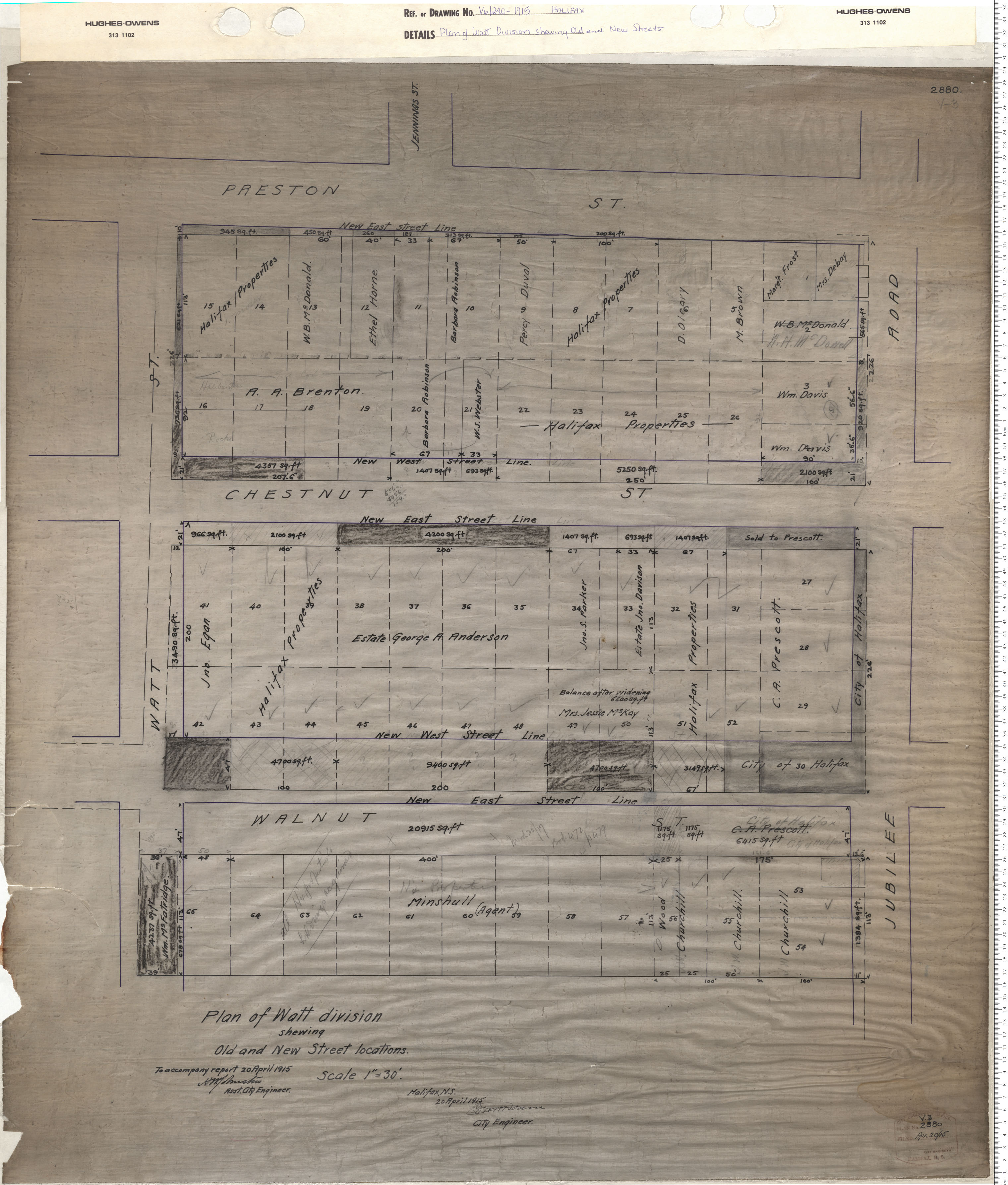
Plan of Watt Division Shewing Old and New Street locations
Date: 1915
Reference: Nova Scotia Archives Map Collection: V6 240 Halifax, Nova Scotia
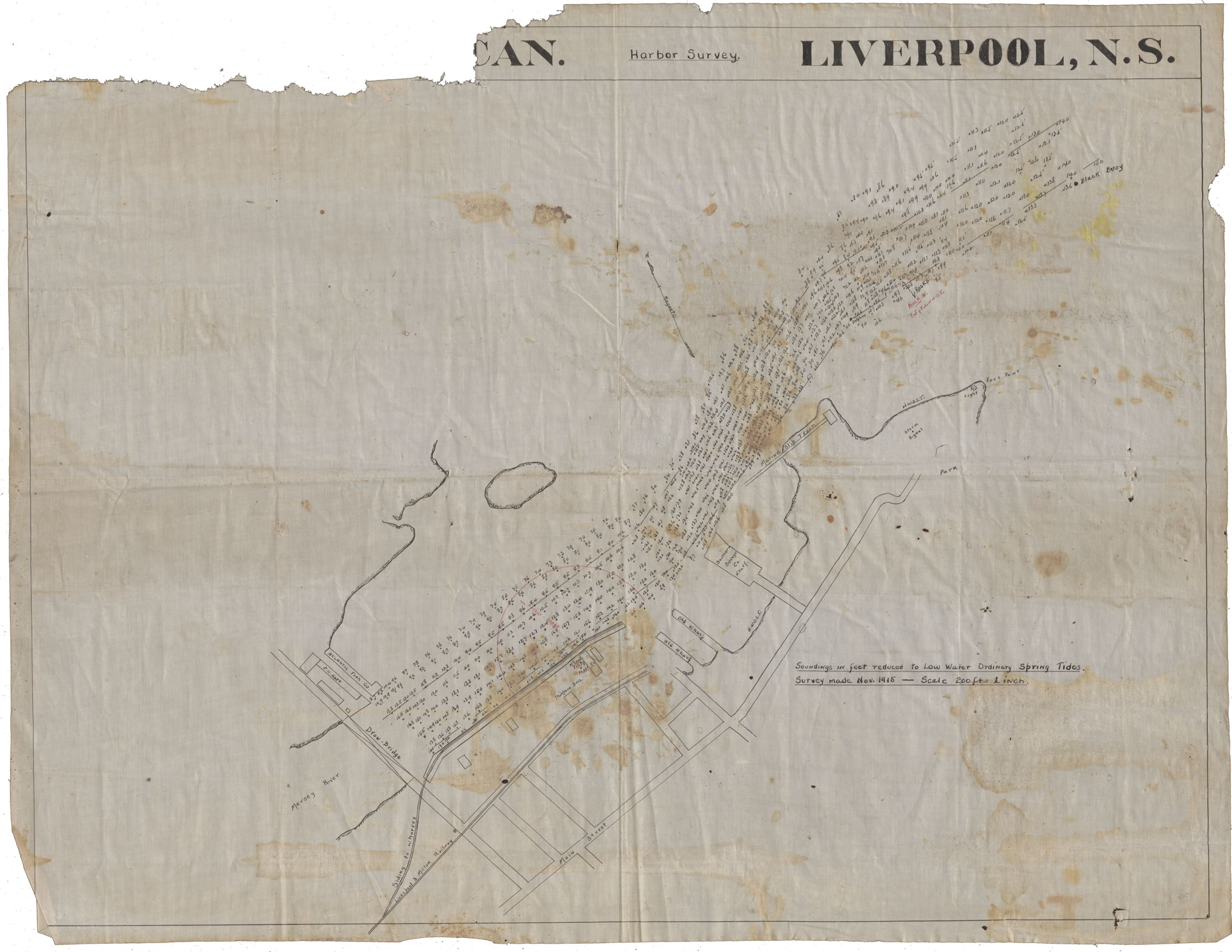
Harbour Survey Liverpool
Date: November 1915
Reference: Nova Scotia Archives Map Collection: F/239 - 1915
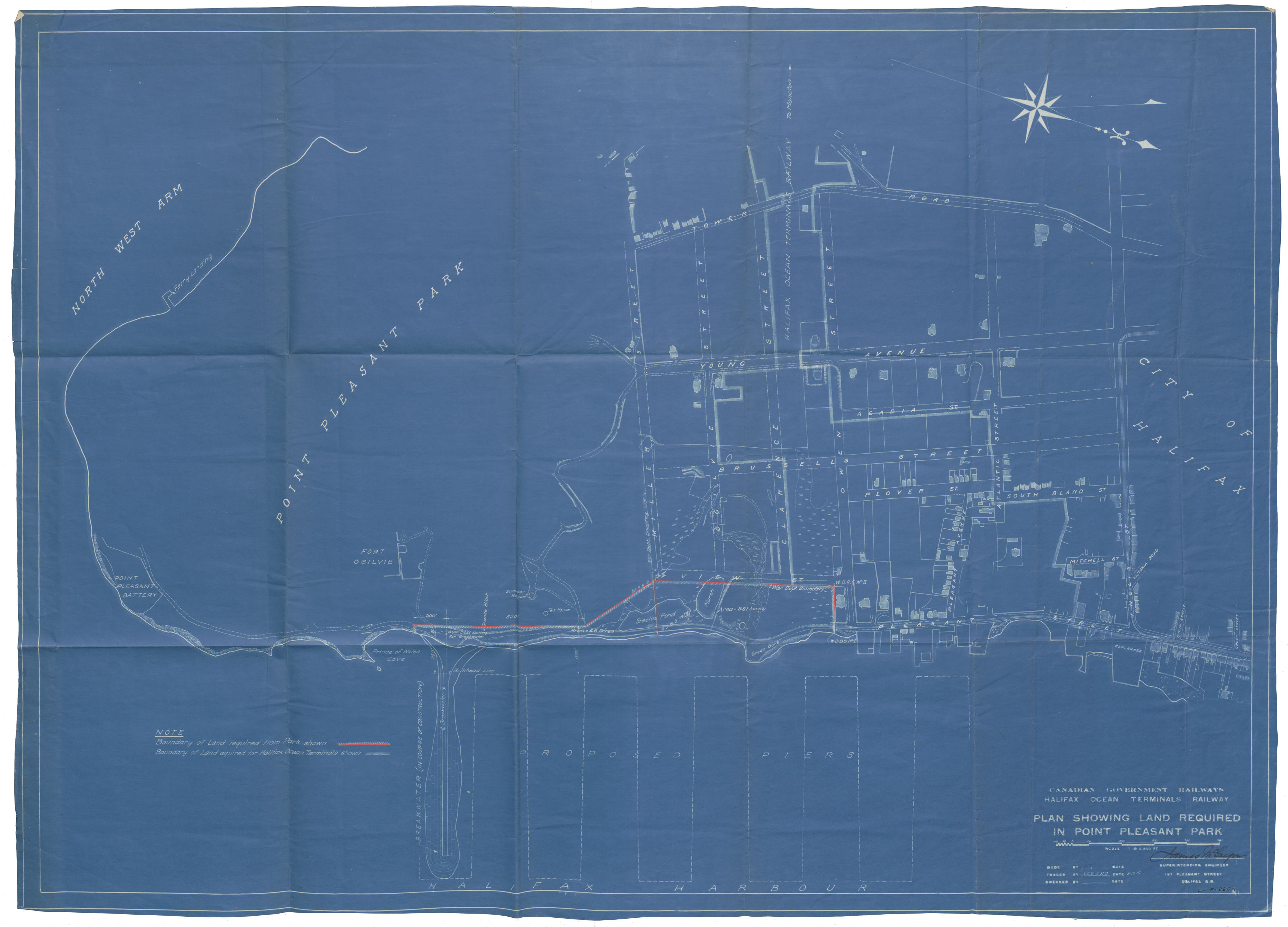
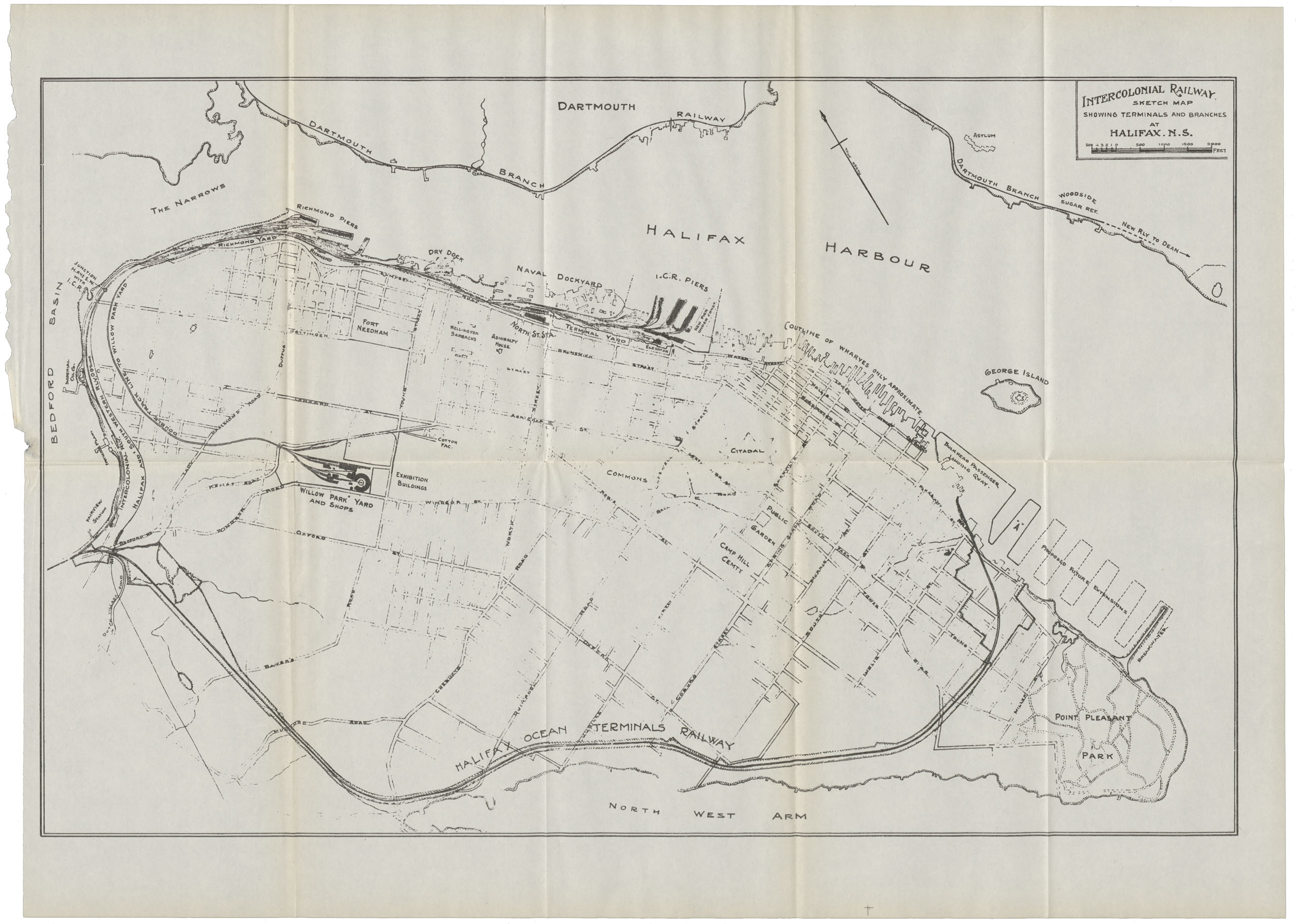
Canadian Governemnt Railways Halifax Ocean Terminals Railway Plan showing Land Required in Point Pleasant Park Copy 1
Date: 8 December 1915
Reference: Nova Scotia Archives Map Collection: F/240 - 1915
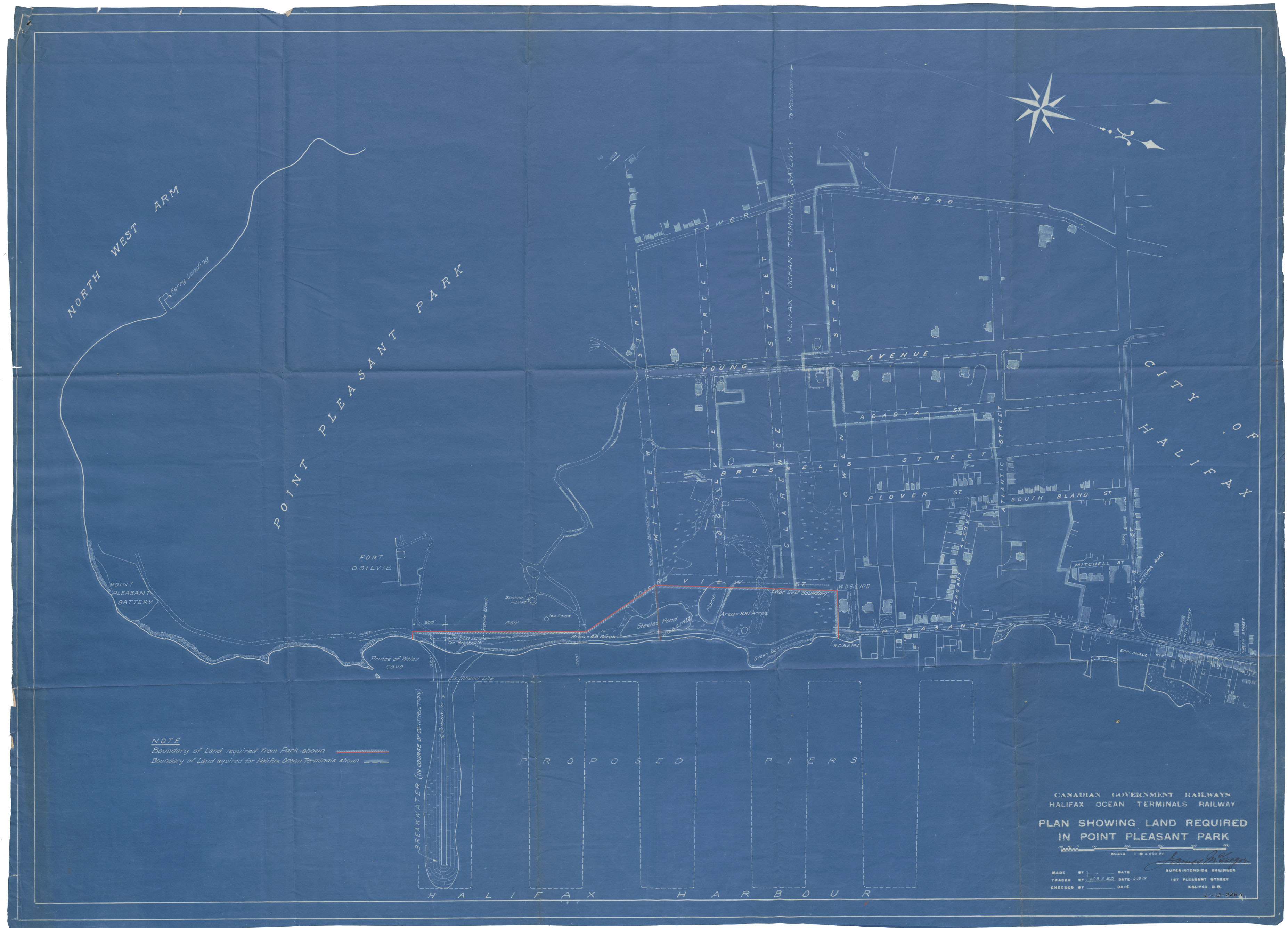
Canadian Governemnt Railways Halifax Ocean Terminals Railway Plan showing Land Required in Point Pleasant Park
Date: 8 December 1915
Reference: Nova Scotia Archives Map Collection: F/240 - 1915
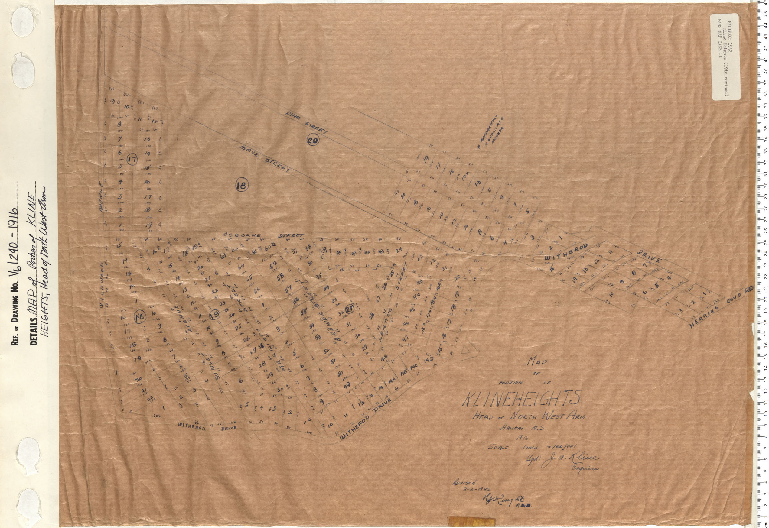
MAP of the Portion of KLINE HEIGHTS Head of North West Arm
Date: 1916
Reference: Nova Scotia Archives Map Collection: V6 240 Halifax, Nova Scotia
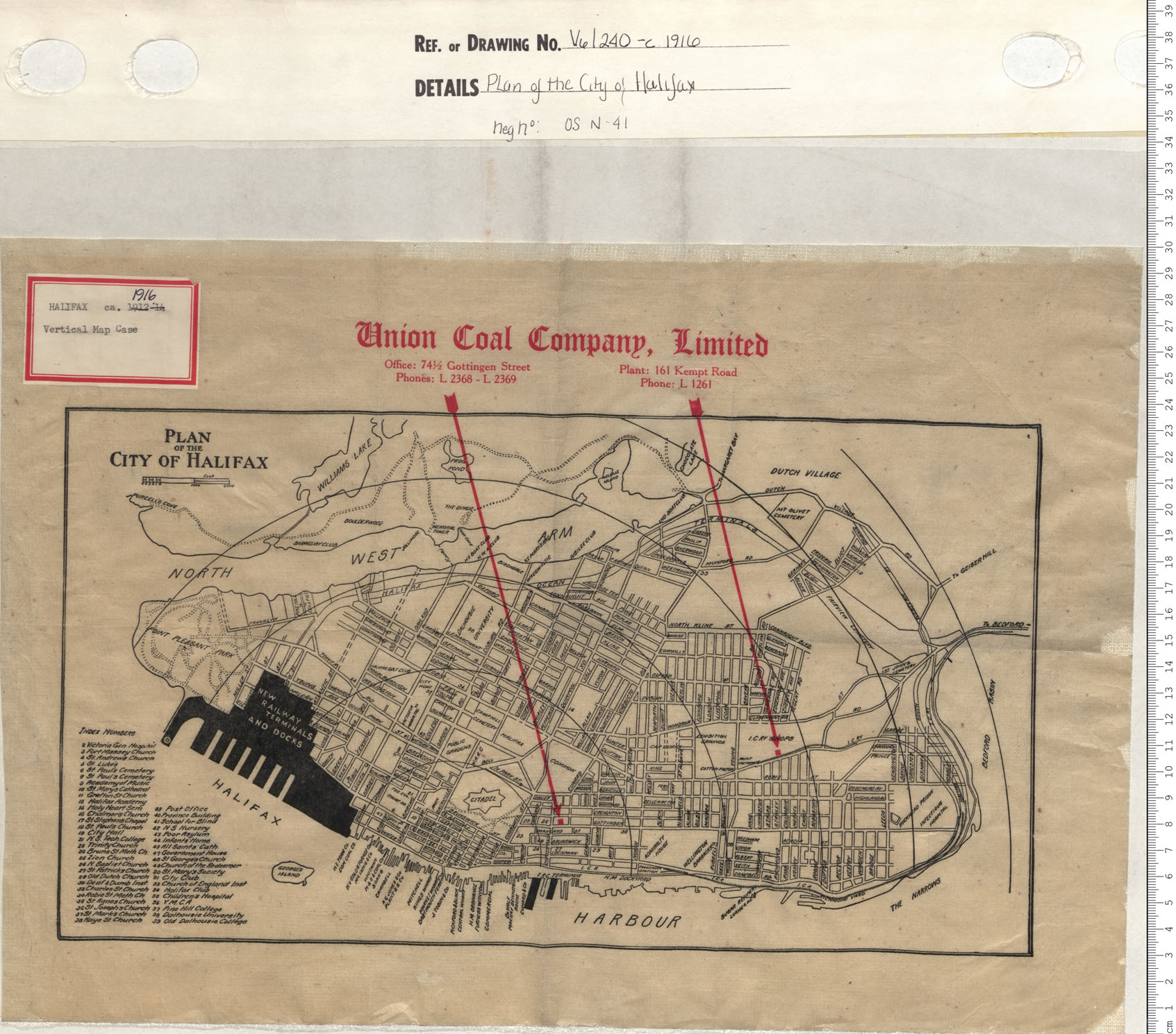
Plan of the City of Halifax
Date: 1916
Reference: Nova Scotia Archives Map Collection: V6 240 Halifax, Nova Scotia
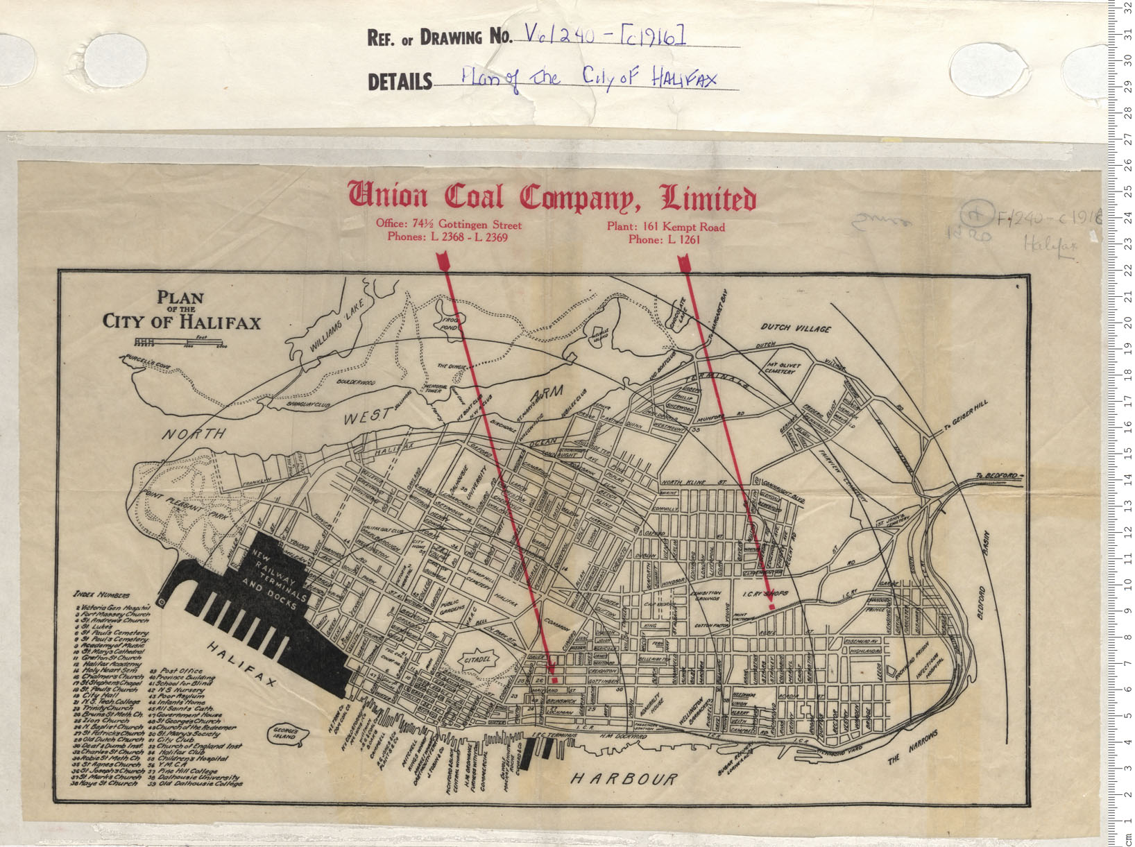
Plan of the City of Halifax
Date: 1916
Reference: Nova Scotia Archives Map Collection: V6 240 Halifax, Nova Scotia
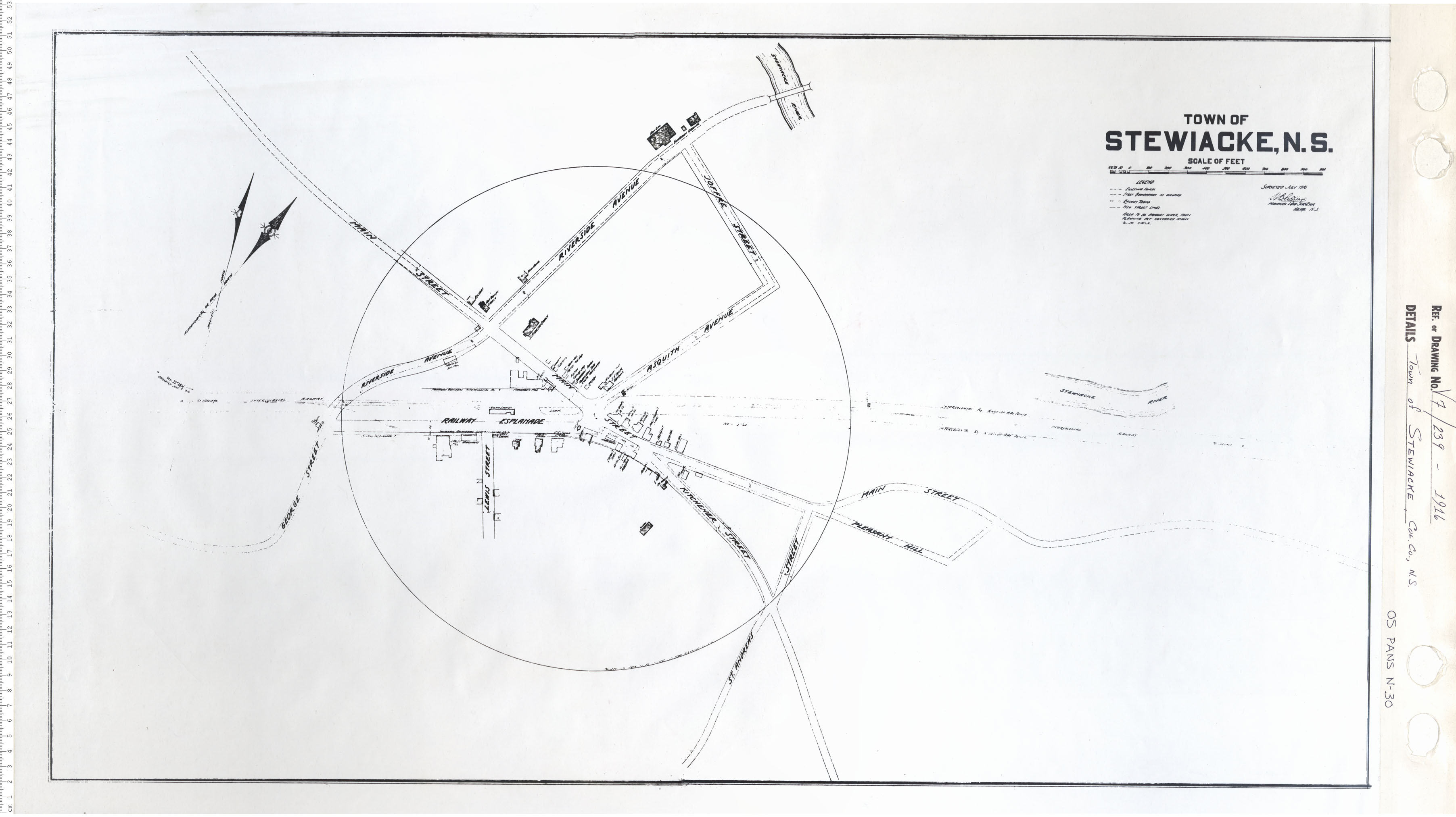
Town of Stewiacke
Date: 1916
Reference: Nova Scotia Archives Map Collection: V7 239 Stewiacke, Nova Scotia
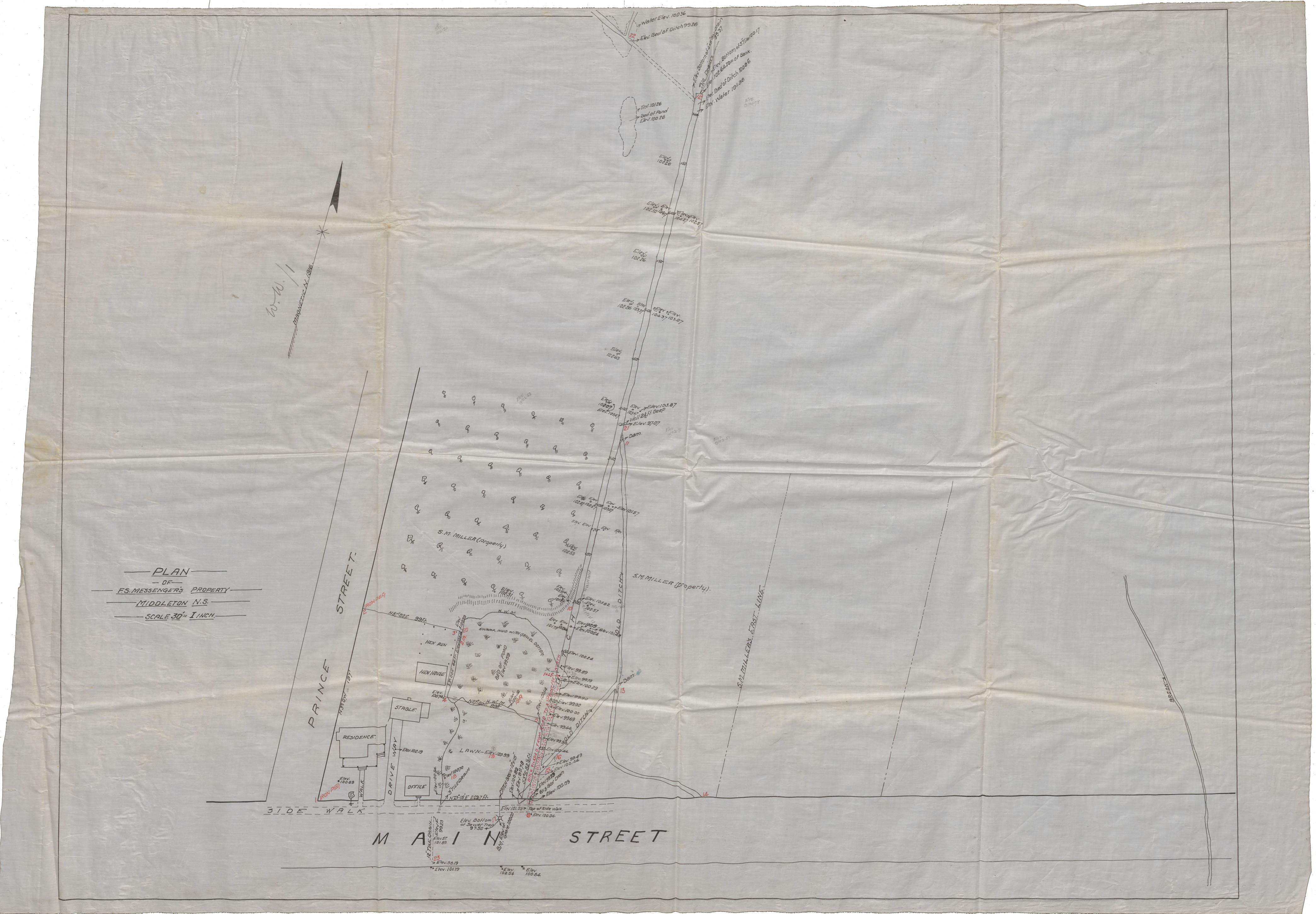
Plan of F.S.Messenger's Property Middleton, N.S. Located on Main Street, Middleton
Date: 1916
Reference: Nova Scotia Archives Map Collection: F/239 - 1916
Plan of A.C.Thompson Property South Charlotte St Sydney C.B.
Date: 10 April 1916
Reference: Nova Scotia Archives Map Collection: F/240 - 1916
