Nova Scotia Archives
Historical Maps of Nova Scotia
Results 736 to 750 of 827 from your search: 1900
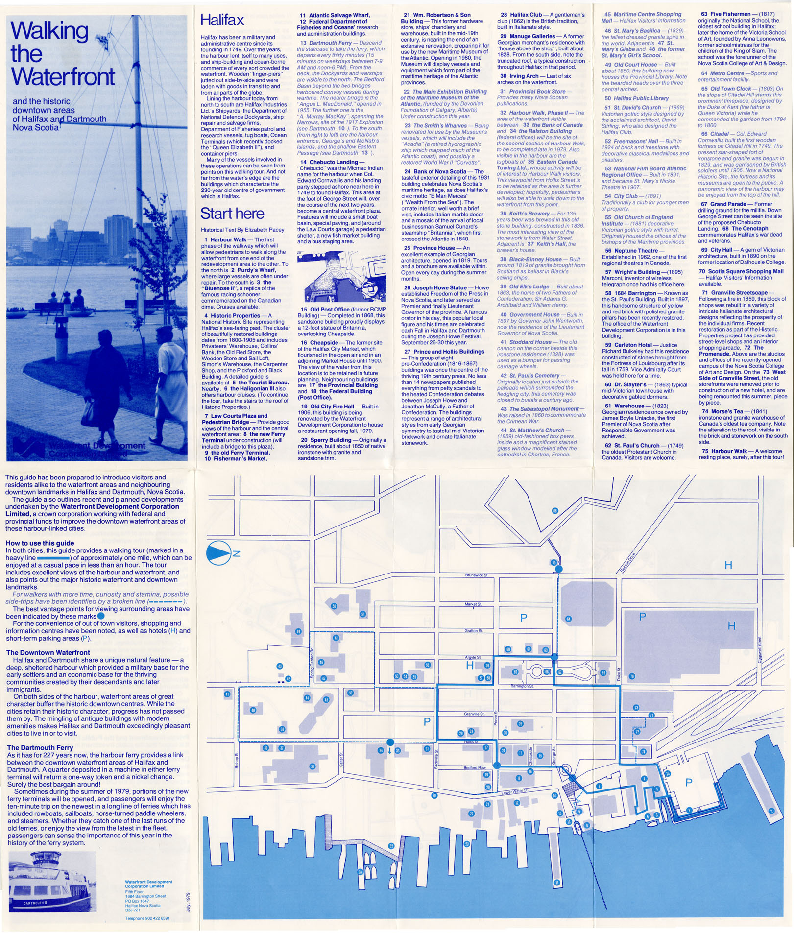
Walking the Waterfront and the Historic Downtown Areas Halifax & Dartmouth, NS
Date: 1979
Reference: Nova Scotia Archives Map Collection: F/240 - 1979
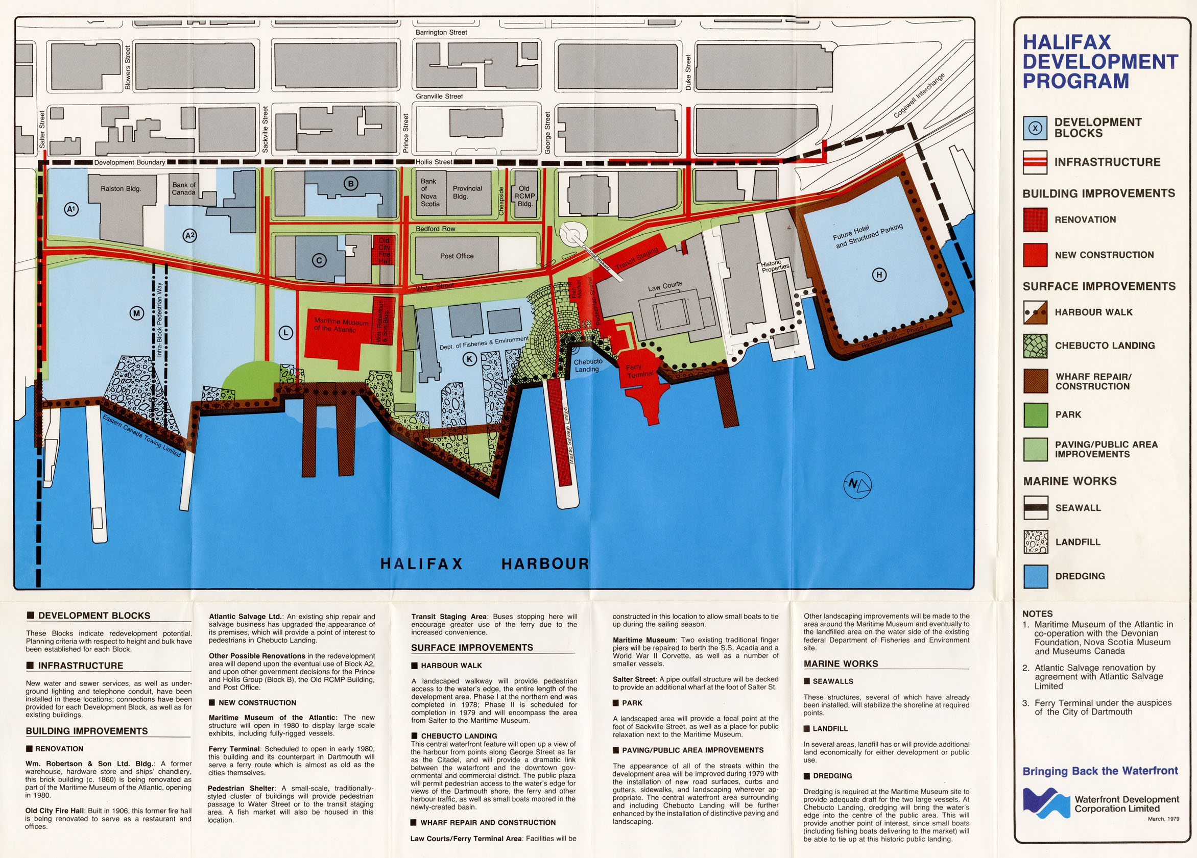
Halifax Development Program
Date: March 1979
Reference: Nova Scotia Archives Map Collection: F/240 - 1979
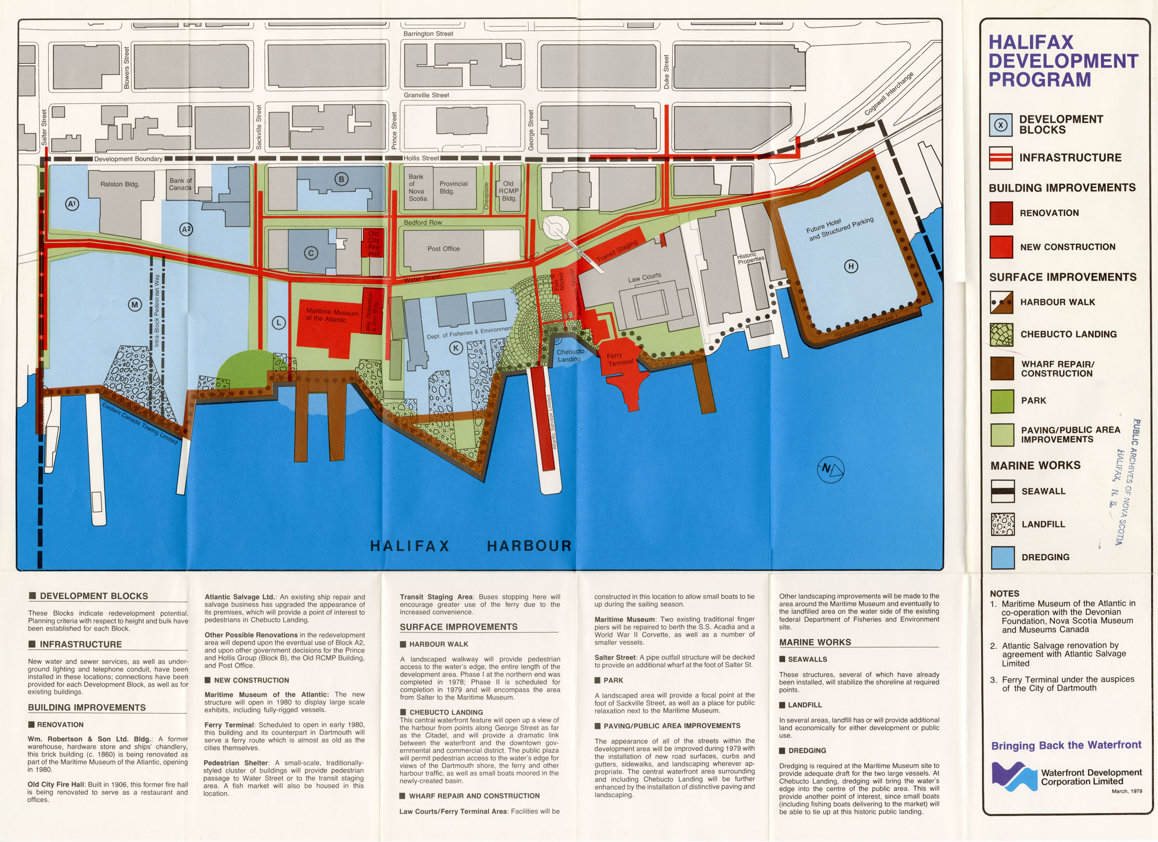
Duplicate Copies Halifax Development Program of the W.O.C.
Date: March 1979
Reference: Nova Scotia Archives Map Collection: F/240 - 1979
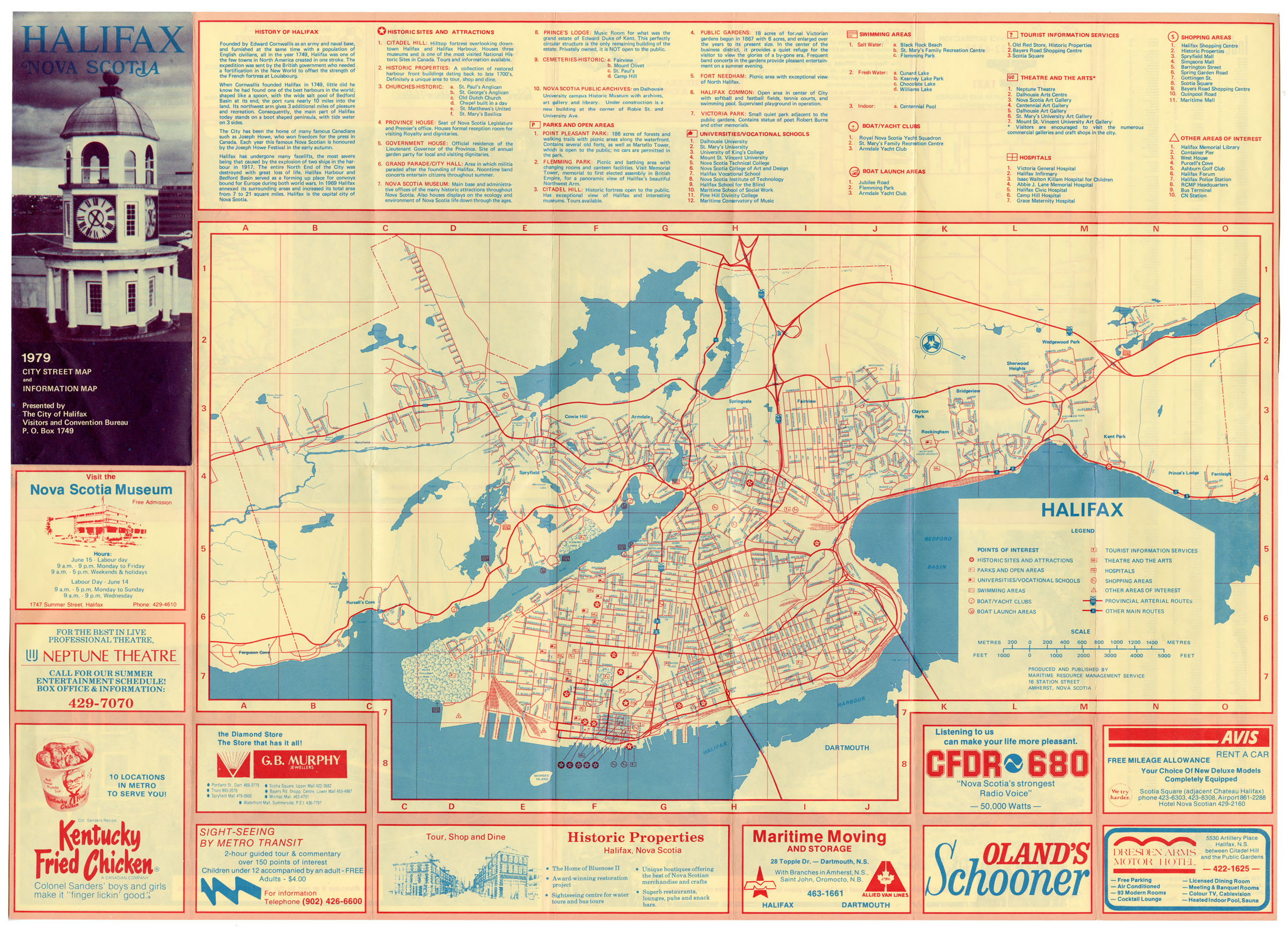
Halifax N.S. 1979 City Street Map and Information Map
Date: 1979
Reference: Nova Scotia Archives Map Collection: F/240 - 1979
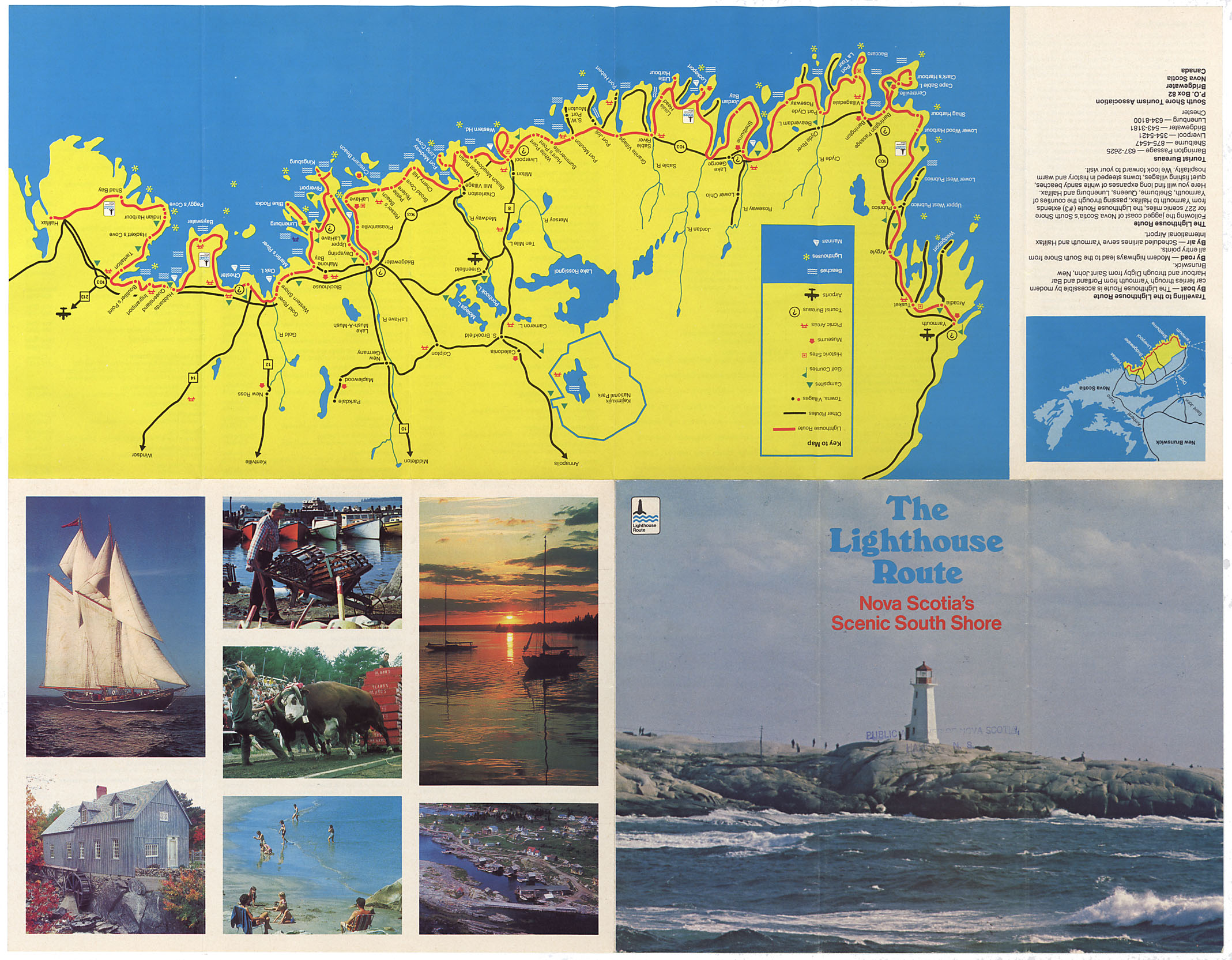
The Lighthouse Route-NS South Shore
Date: 1980
Reference: Nova Scotia Archives Map Collection: F/202
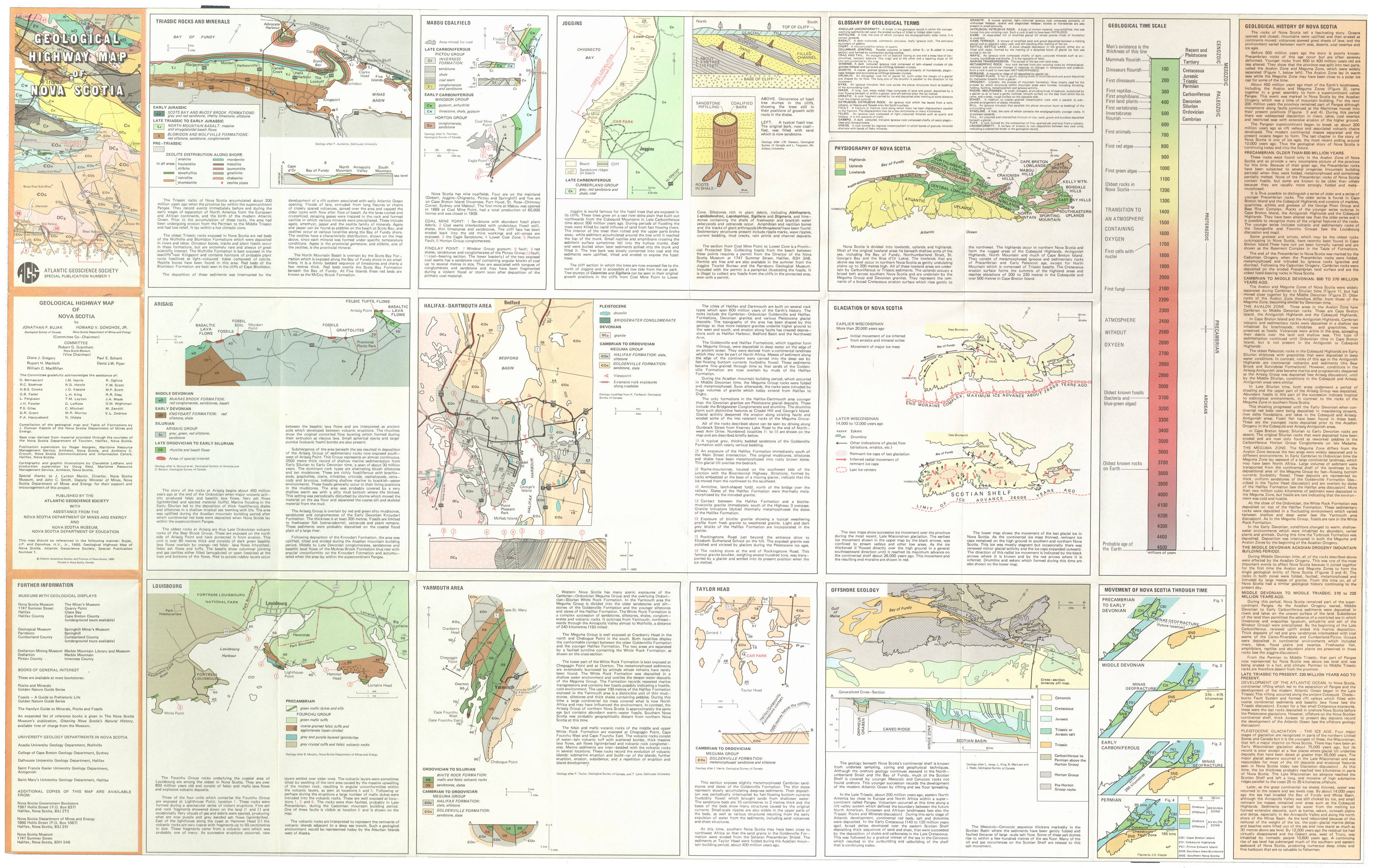
Geological Highway Map of Nova Scotia
Date: 1980
Reference: Nova Scotia Archives Map Collection: F/202 - 1980
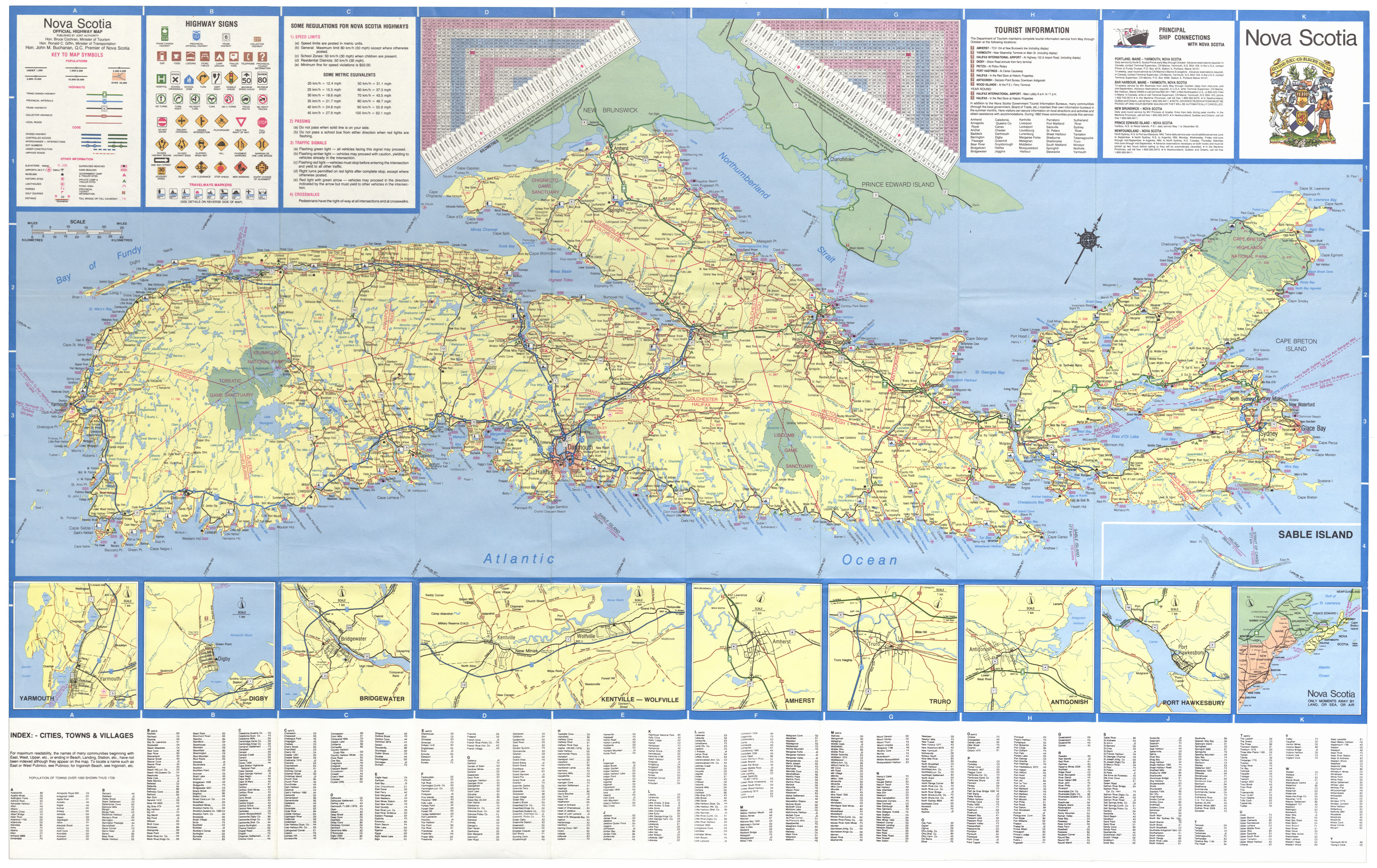
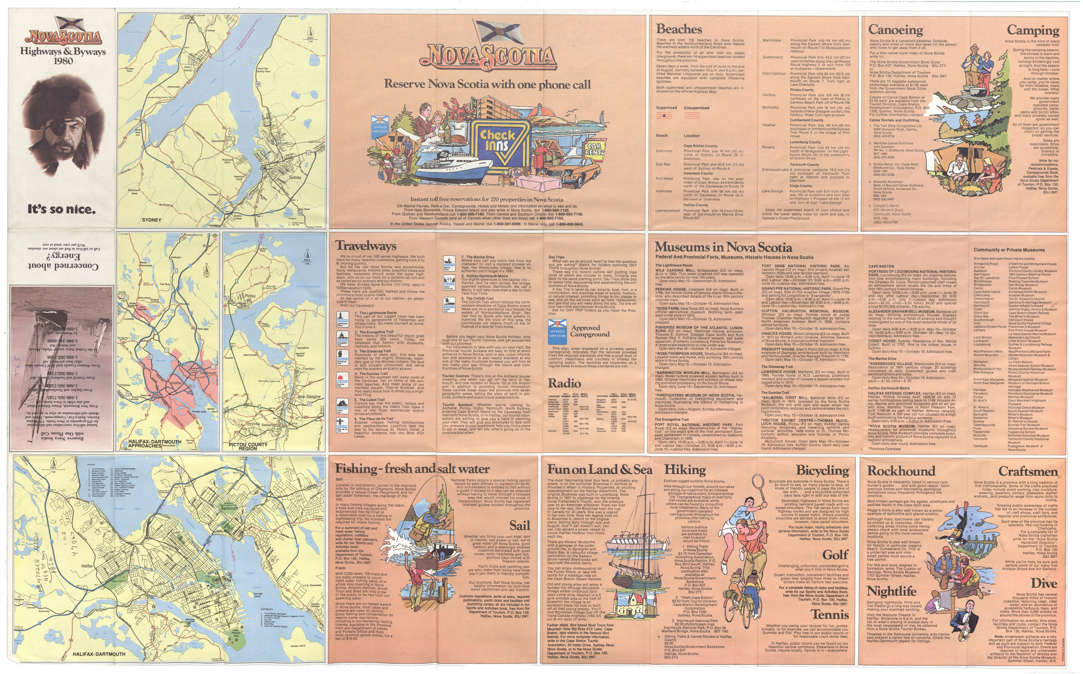
Nova Scotia Highways & Byways
Date: 1980
Reference: Nova Scotia Archives Map Collection: F/202 - 1980
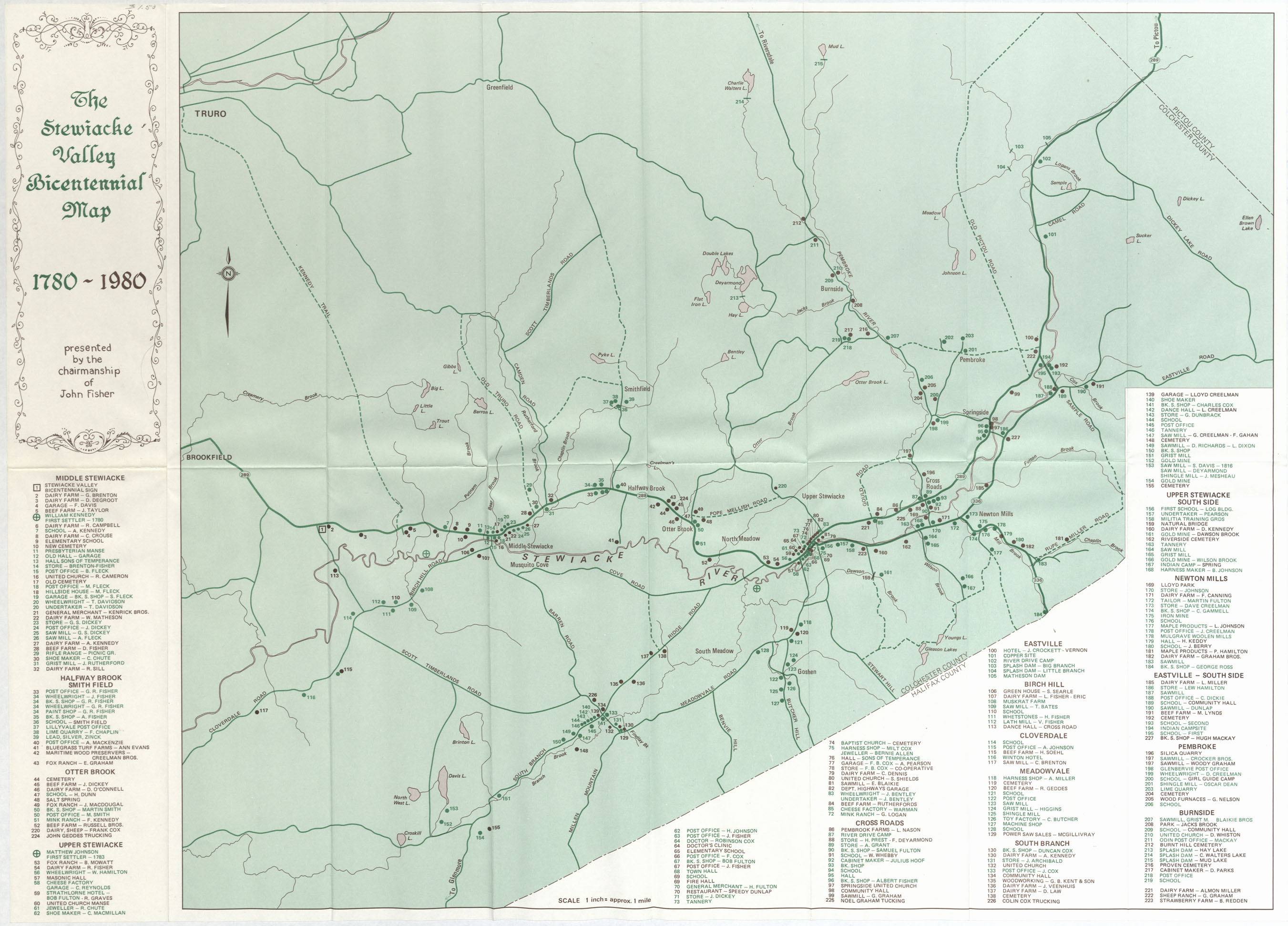
The Stewiacke Valley Bicentennial map 1780-1980
Date: 1980
Reference: Nova Scotia Archives Map Collection: F/210 - 1980
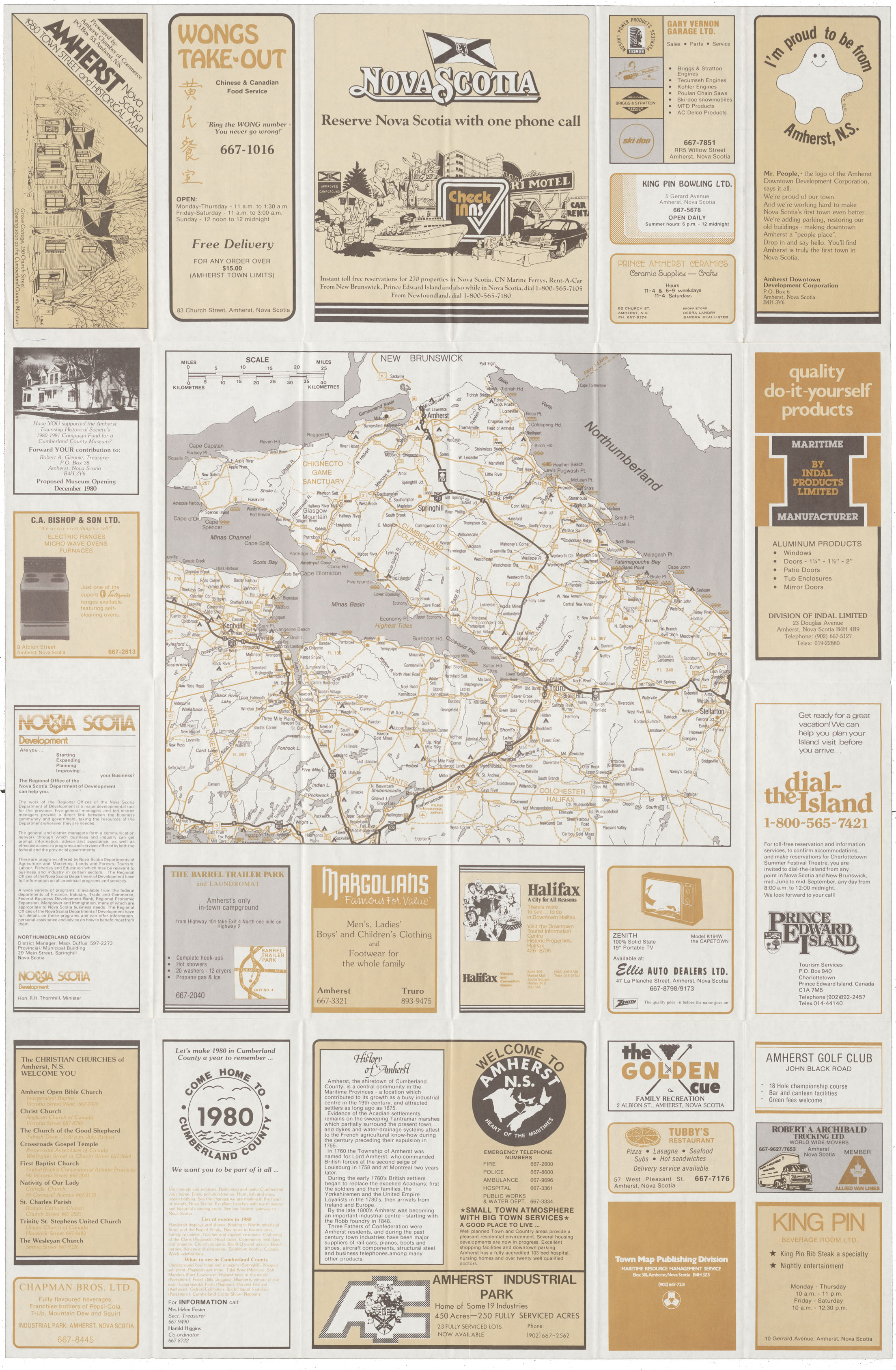
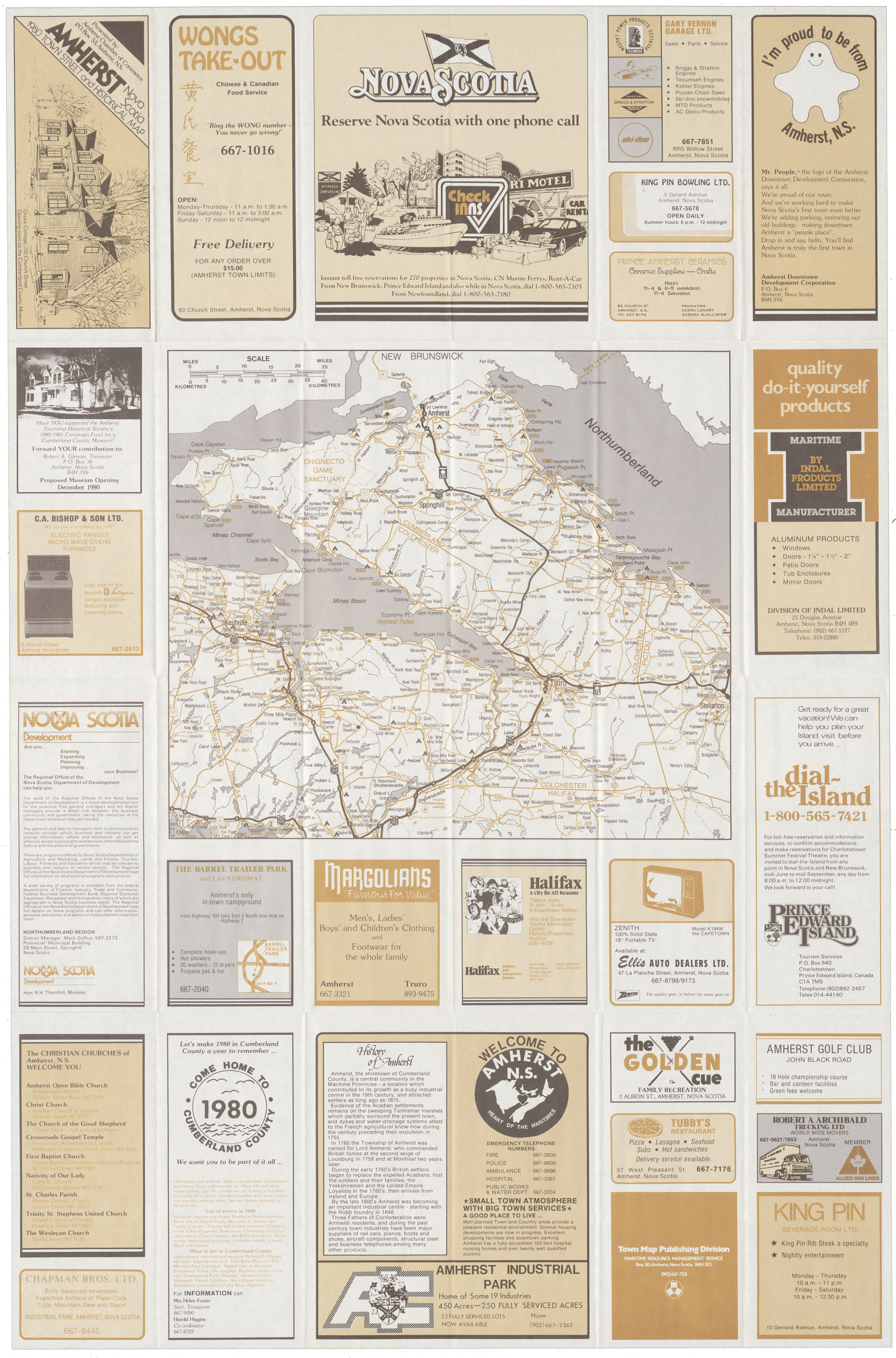
Amherst, NS 1980 Town and Street map
Date: 1980
Reference: Nova Scotia Archives Map Collection: F/239
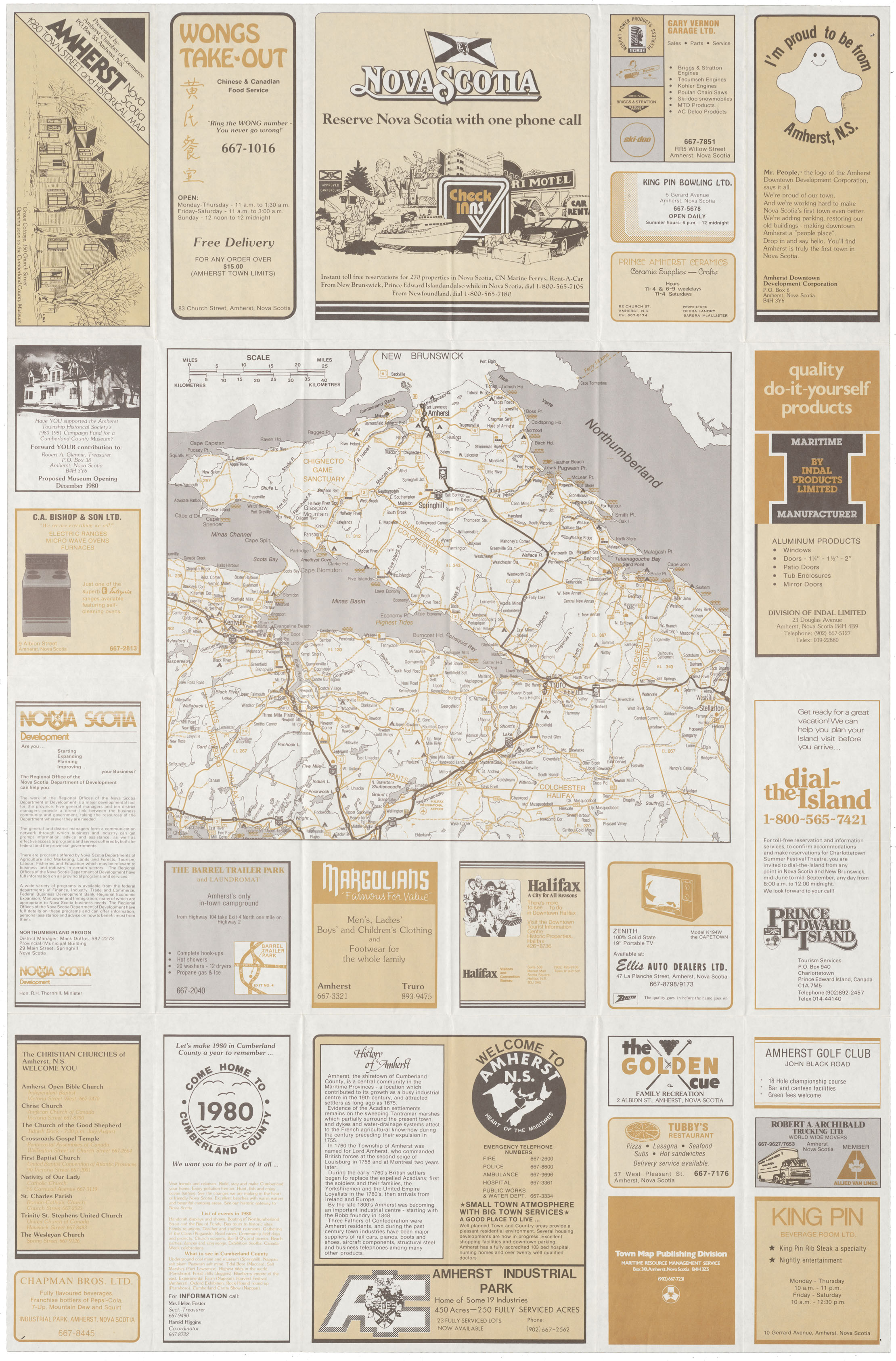
Amherst, NS Town & Street & Historical map
Date: 1980
Reference: Nova Scotia Archives Map Collection: F/239 - 1980
Amherst Amherst Town Street & Historical Map
Date: 1980
Reference: Nova Scotia Archives Map Collection: F/239 - 1980
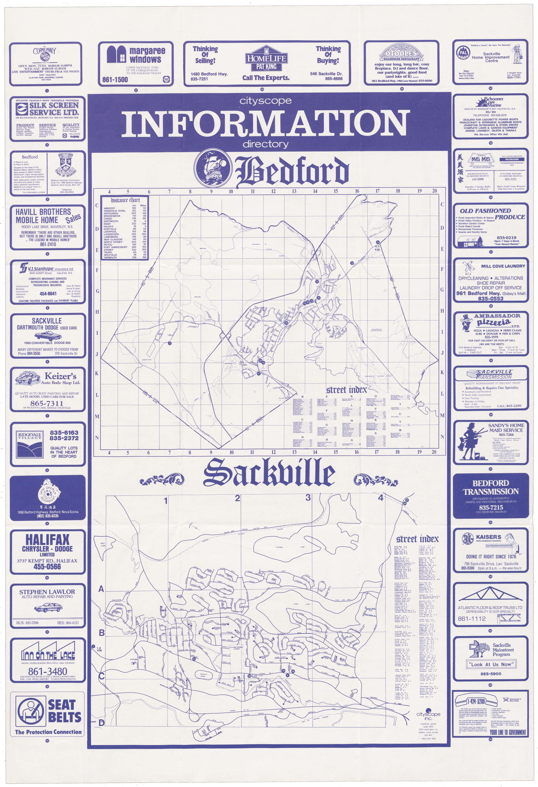
Map of Bedford/Sackville, N.S.
Date: 1980
Reference: Nova Scotia Archives Map Collection: F/239 - 1980
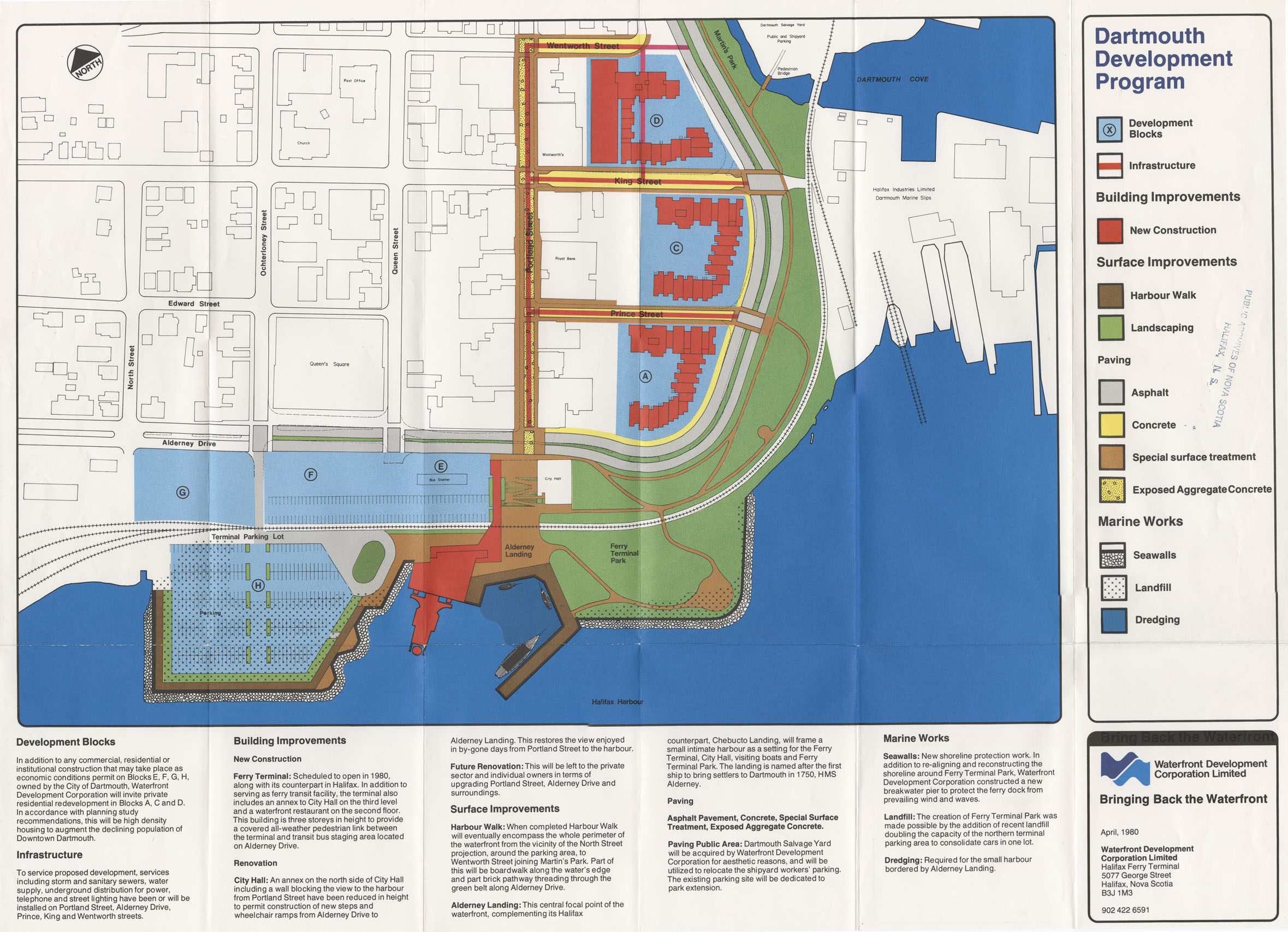
Dartmouth Development Program, Halifax Developments Limited
Date: April 1980
Reference: Nova Scotia Archives Map Collection: F/239 - 1980
