Nova Scotia Archives
Historical Maps of Nova Scotia
Results 721 to 735 of 827 from your search: 1900
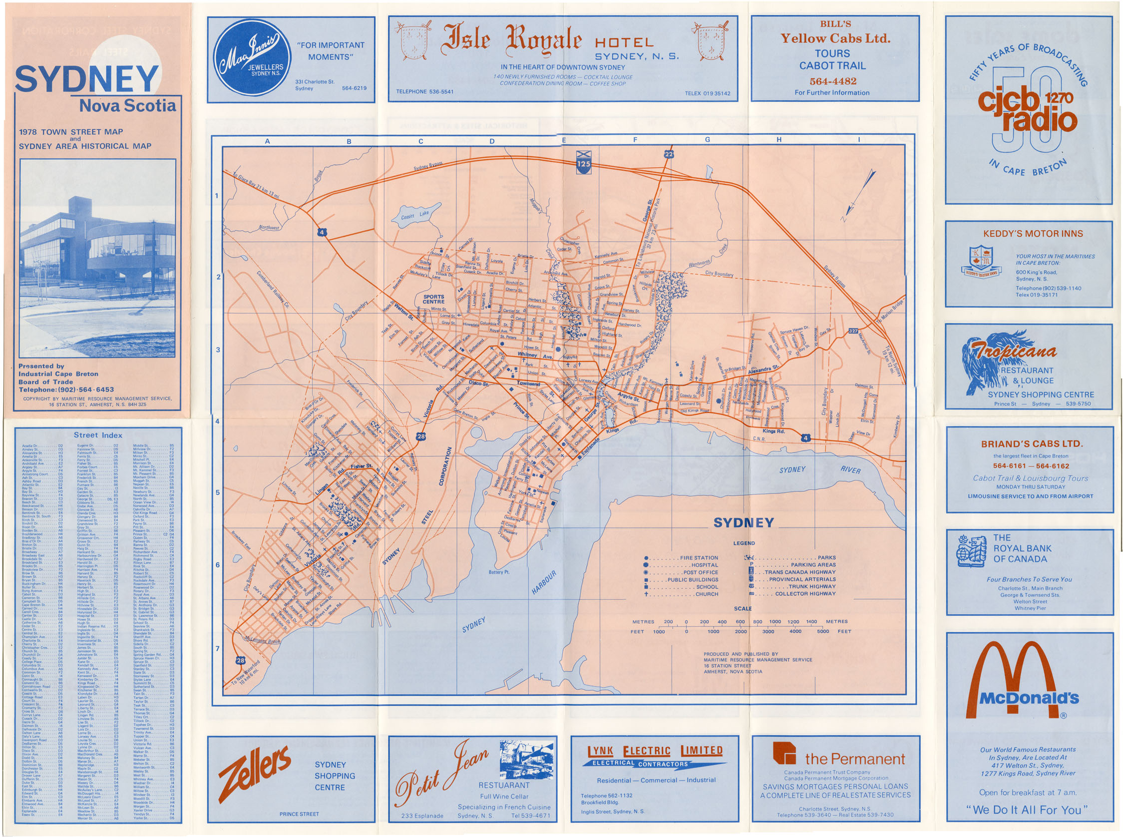
Sydney, NS 1978 Town Street Map & Sydney Area Historical Map
Date: 1978
Reference: Nova Scotia Archives Map Collection: F/240 - 1978
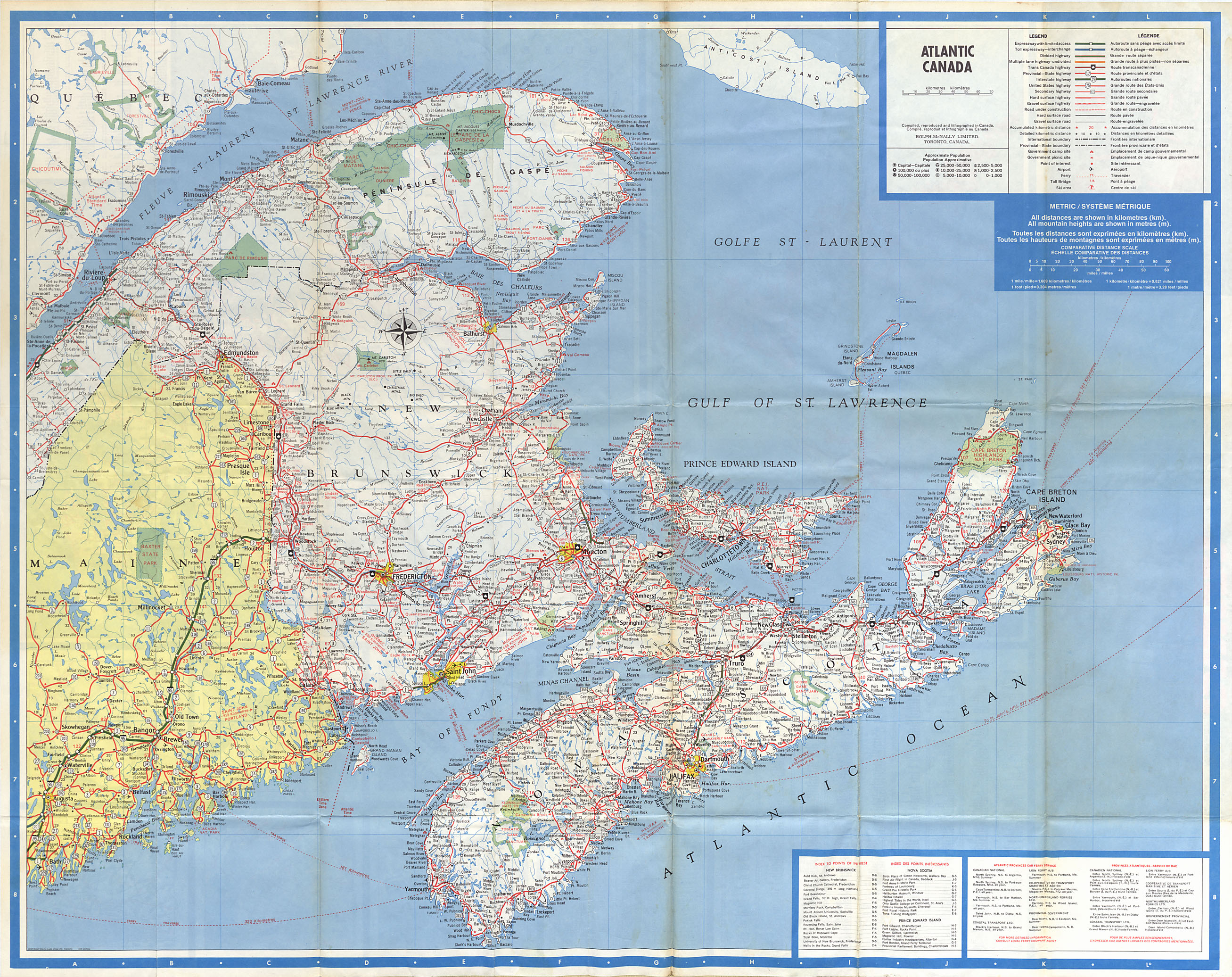
Prince Edward Island-Nova Scotia-New Brunswick-Newfoundland_Atlantic Canada
Date: 1979
Reference: Nova Scotia Archives Map Collection: F/200 - 1979
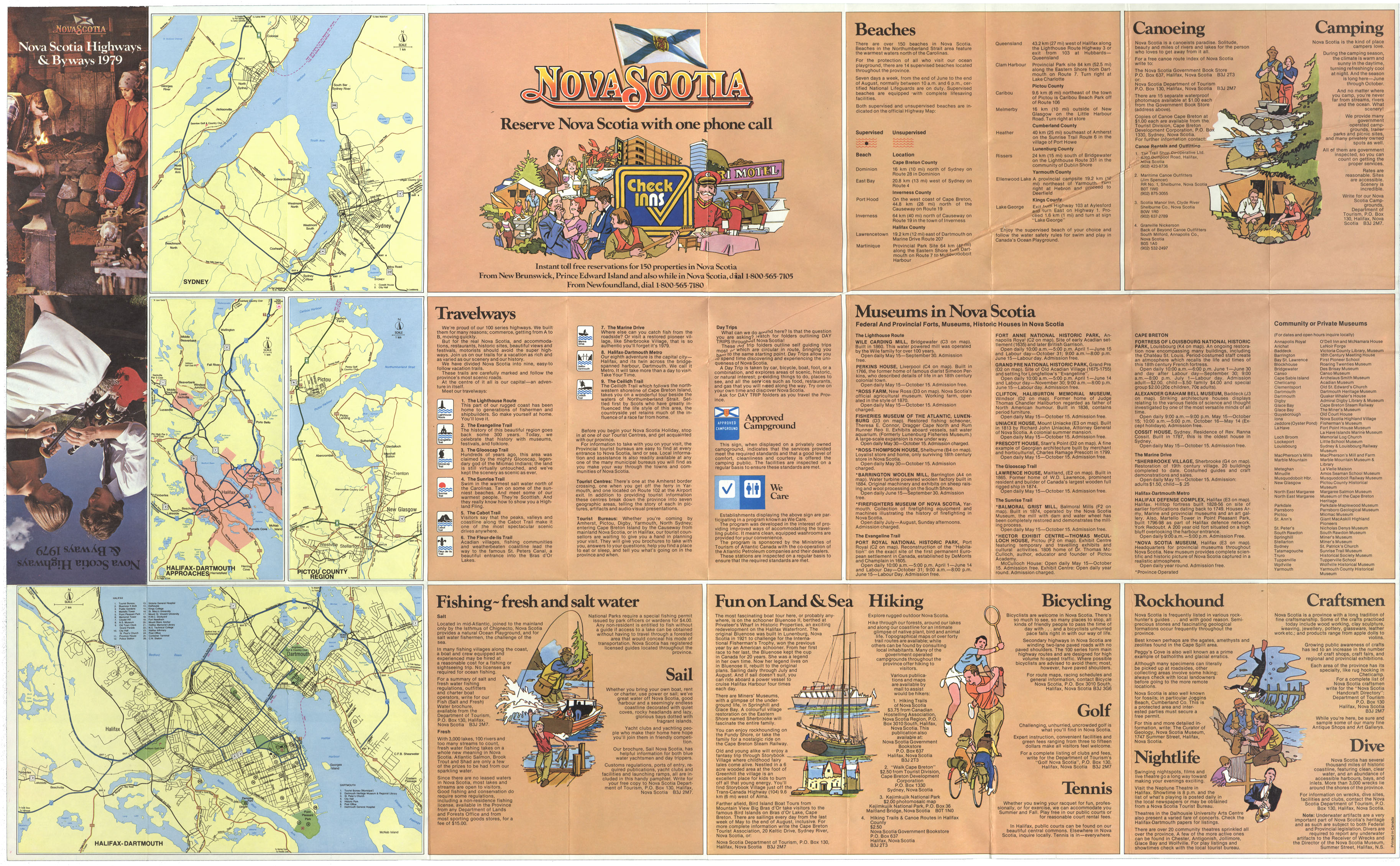
Nova Scotia highways & Byways 1979
Date: 1979
Reference: Nova Scotia Archives Map Collection: F/202 - 1979
Folio of Geological Maps of N.S.
Date: 1979
Reference: Nova Scotia Archives Map Collection: F/202 - 1979
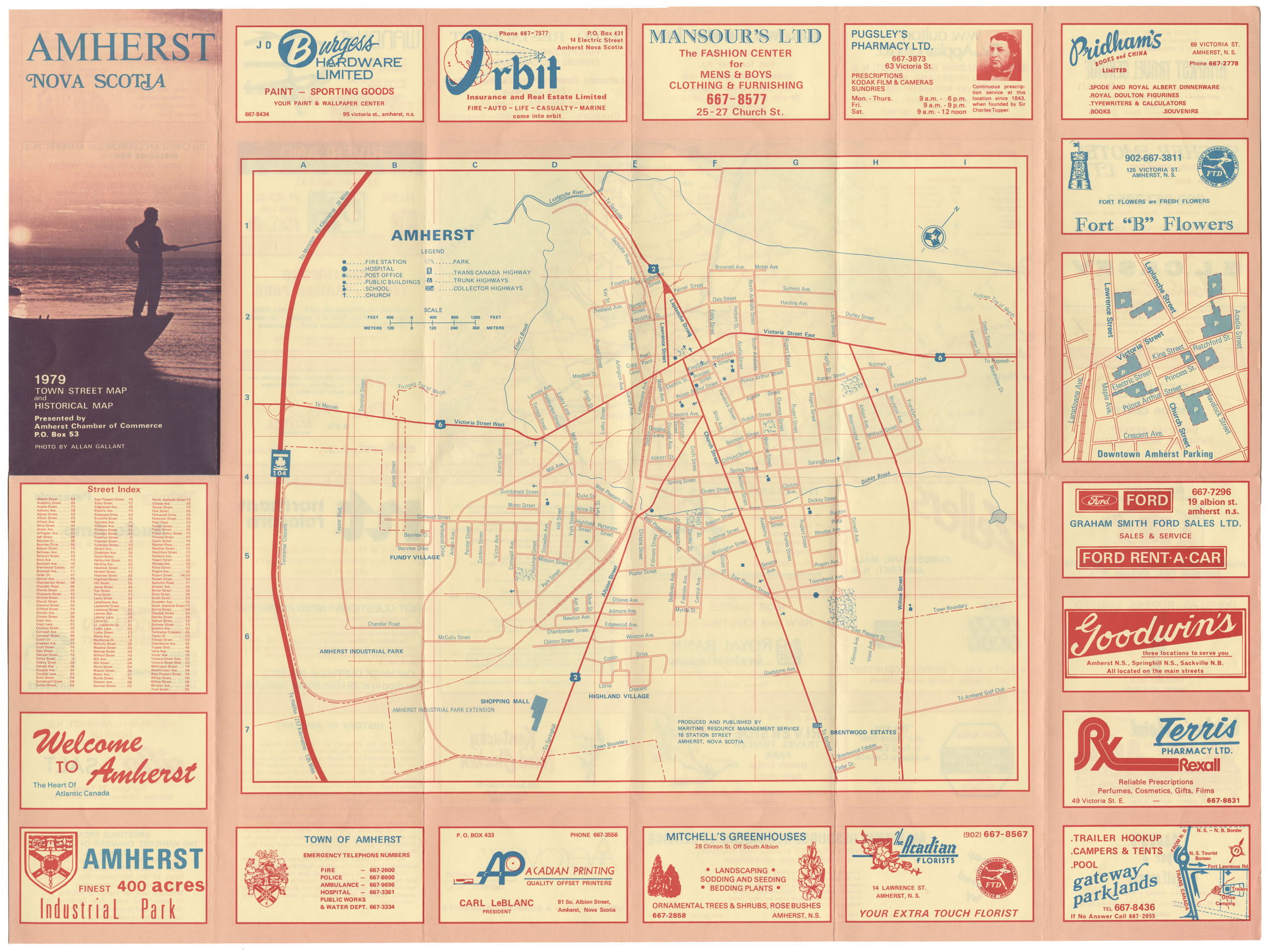
Amherst, NS 1979 Town Street and Historical map
Date: 1979
Reference: Nova Scotia Archives Map Collection: F/239 - 1979
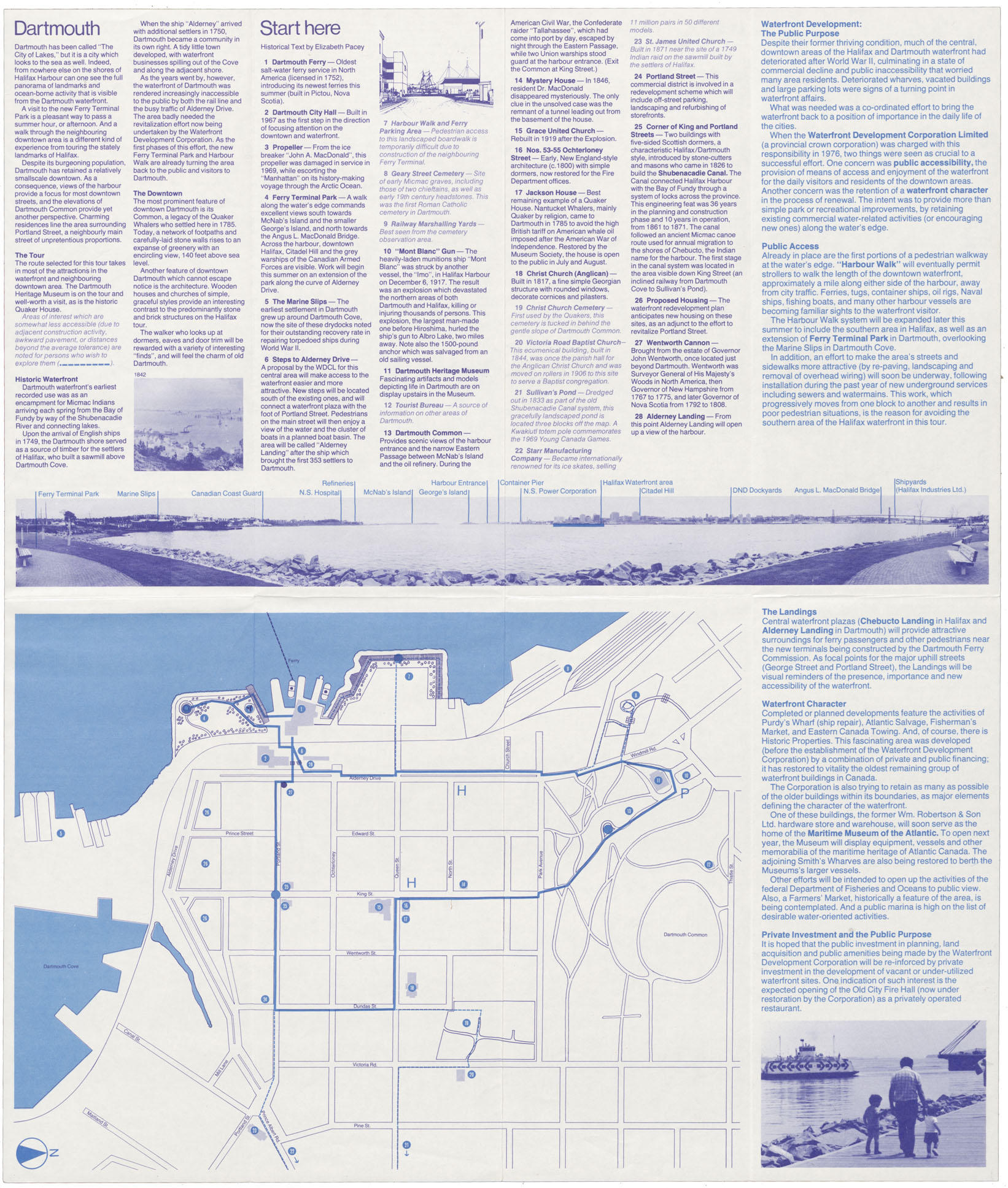
Walking the Waterfront (and) the Historic Downtown Areas of Halifax and Dartmouth, N.S.
Date: 1979
Reference: Nova Scotia Archives Map Collection: F/239 - 1979
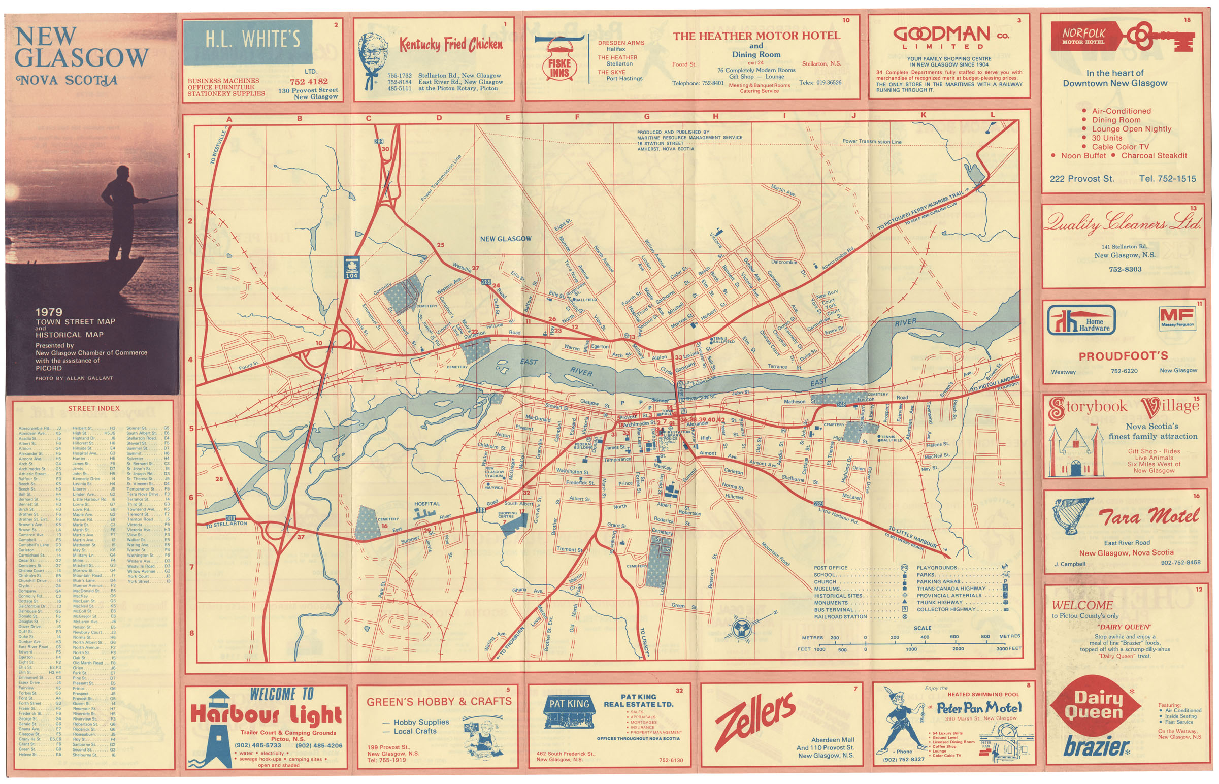
New Glasgow N.S. Town Street map 1979
Date: 1979
Reference: Nova Scotia Archives Map Collection: F/239 - 1979
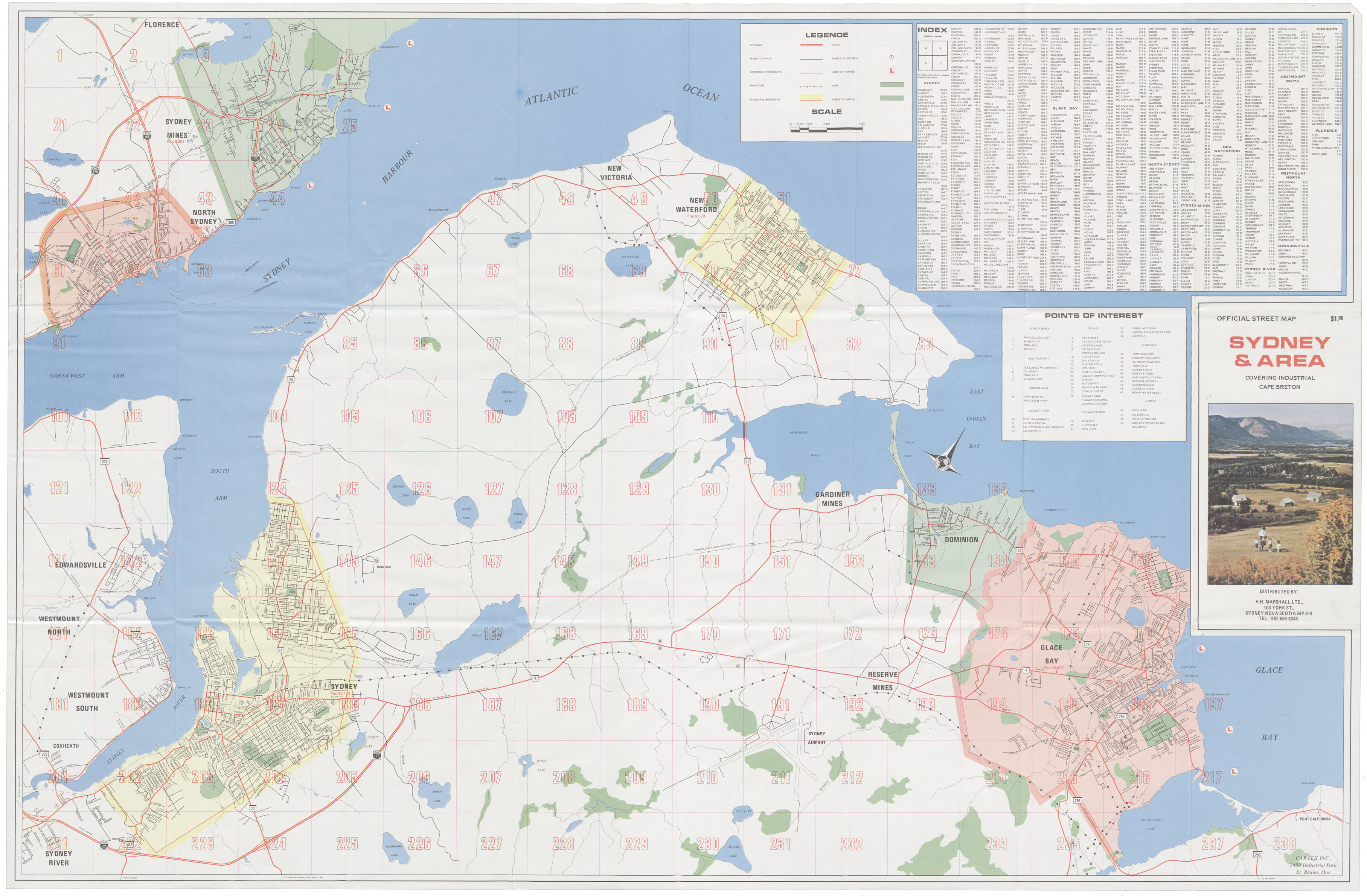
Sydney & Area Covering Industrial Cape Breton
Date: 1979
Reference: Nova Scotia Archives Map Collection: F/239 - 1979
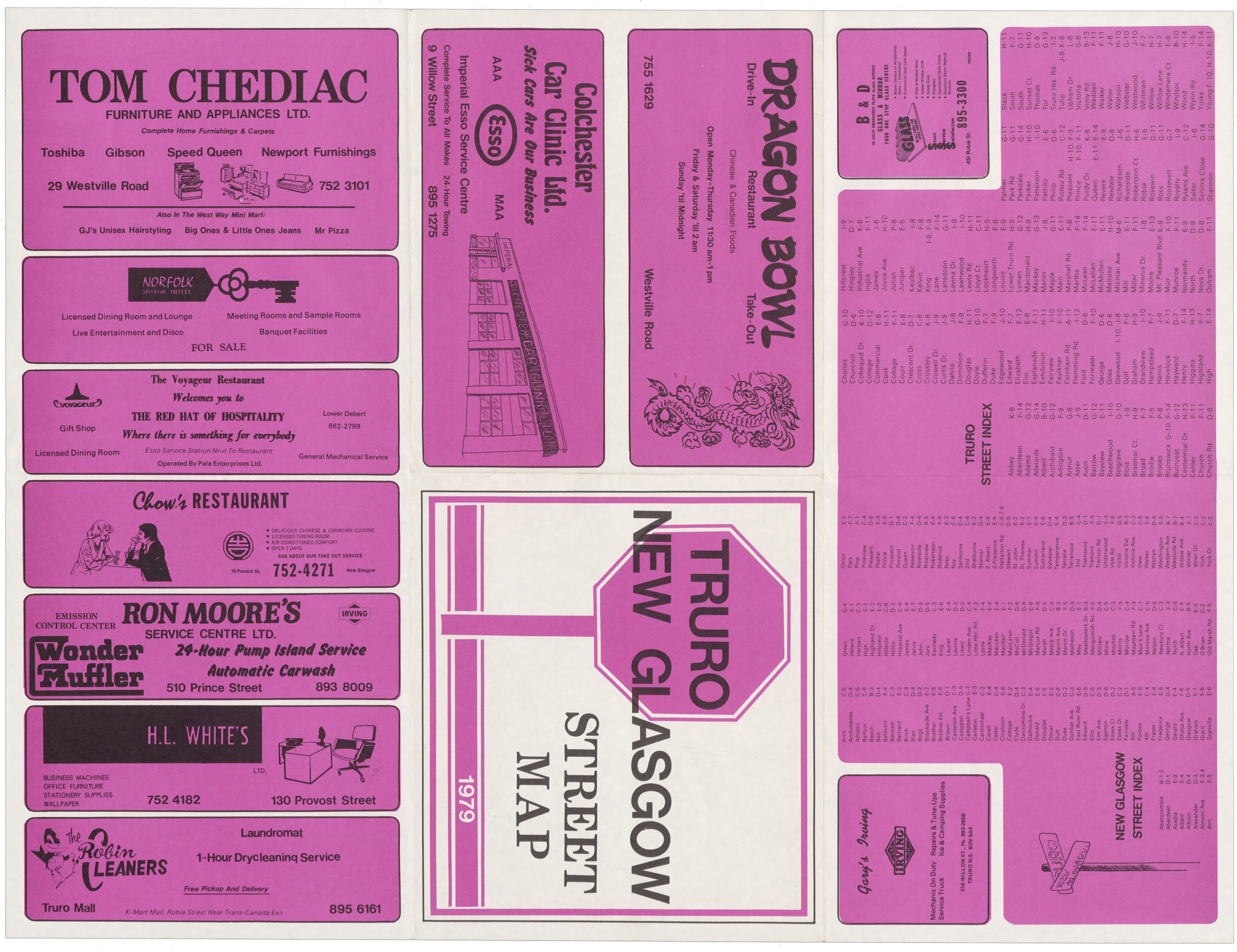
Truro New Glasgow Street map
Date: 1979
Reference: Nova Scotia Archives Map Collection: F/239 - 1979
