Nova Scotia Archives
Historical Maps of Nova Scotia
Results 196 to 210 of 905 from your search: 1800
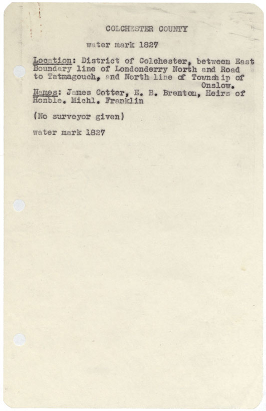
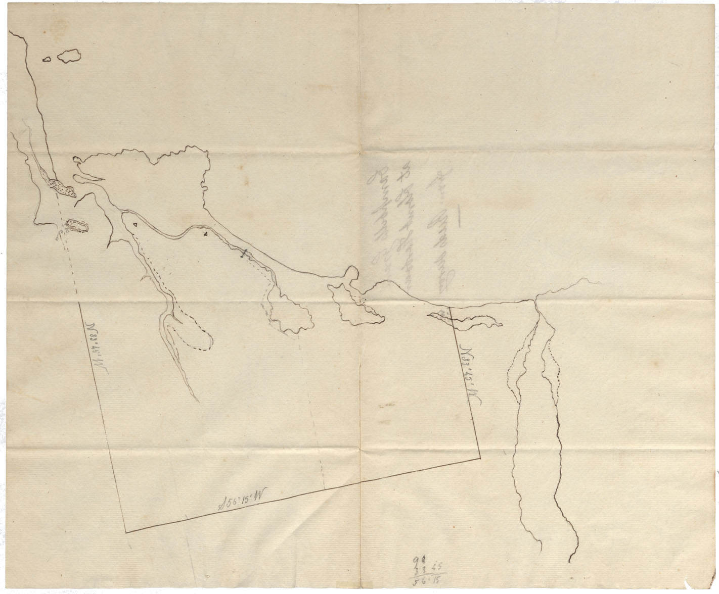
Colchester County District of Colchester between east boundary line of Londonderry north and road to Tatamagouche and north line of Township of Onslw, w.m.1827
Date: 1827
Reference: Nova Scotia Archives Map Collection: F/230 - 1827
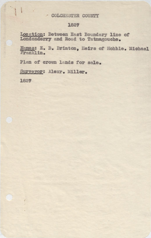
Colchester County Between east boundary line of Londonderry and road to Tatamagouche 1827
Date: 1827
Reference: Nova Scotia Archives Map Collection: F/230 - 1827
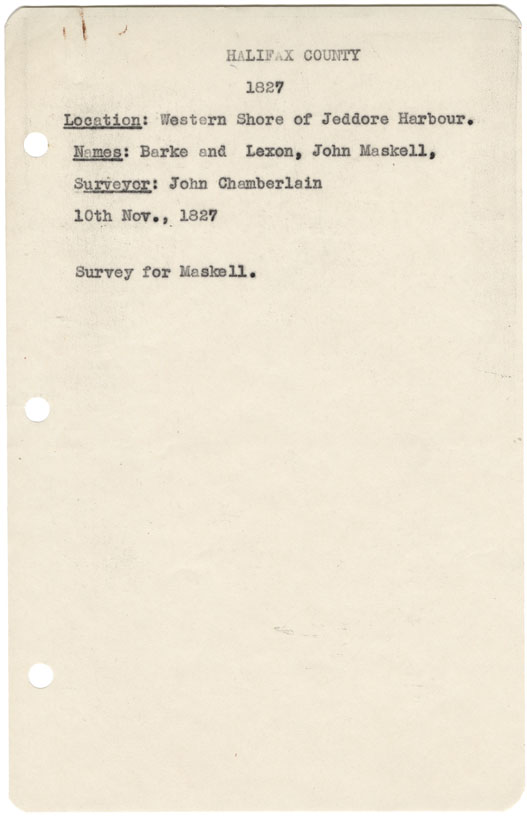
Halifax County Western shore of Jeddore Harbour 1827
Date: 10 November 1827
Reference: Nova Scotia Archives Map Collection: F/230 - 1827
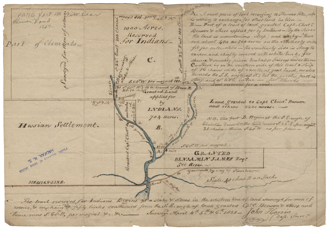
The Tract reserved for Indians at Bear River, Digby County
Date: 4-6 April 1827
Reference: Nova Scotia Archives Map Collection: F/239 - 1827
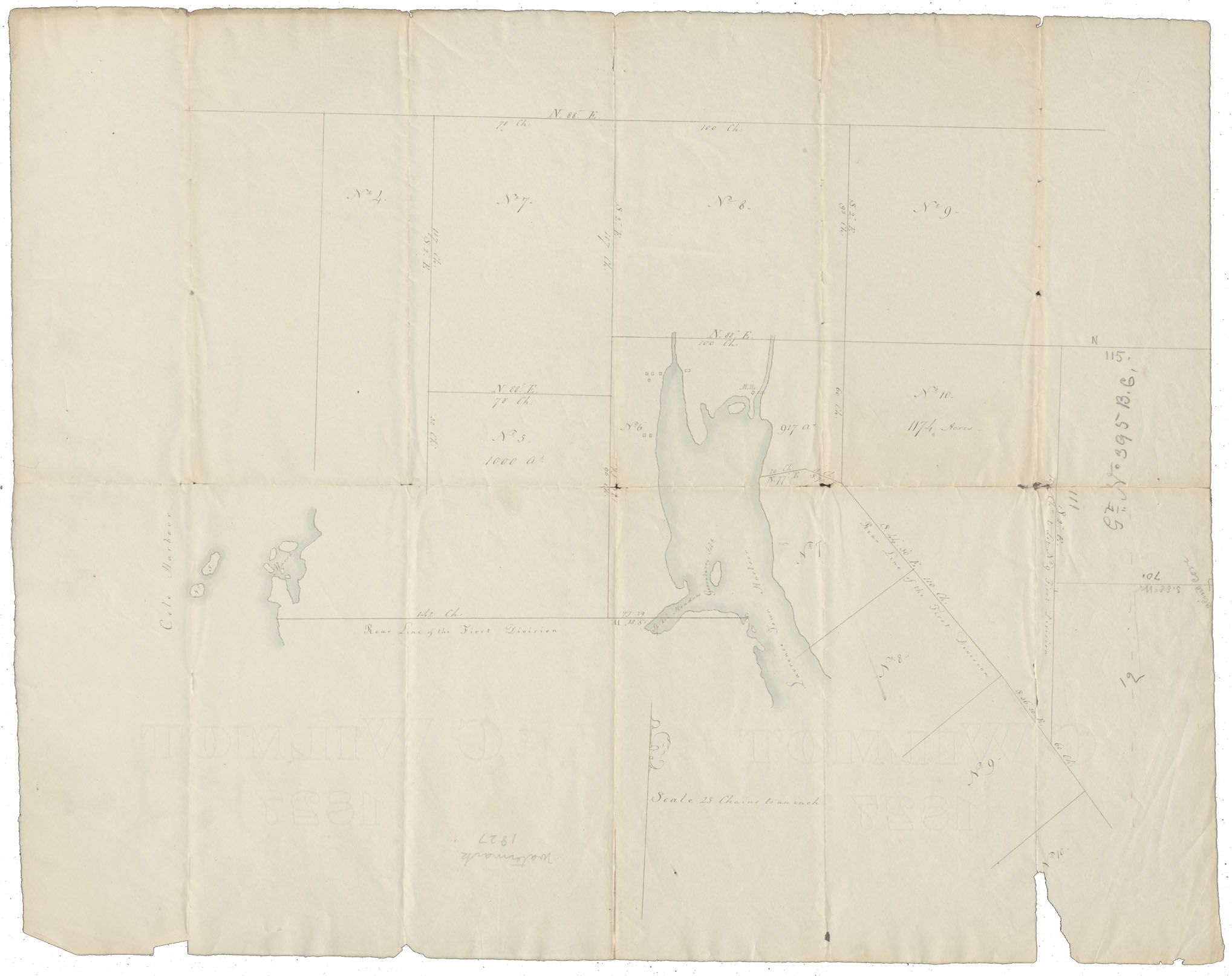
Halifax County Cole harbour and Lawrencetown Harbour, w.m.1827
Date: 1827
Reference: Nova Scotia Archives Map Collection: F/239 - 1827
Cape Breton Plan North Barrasoss Asprey bay, w.m.1827
Date: 1827
Reference: Nova Scotia Archives Map Collection: F/240 - 1827
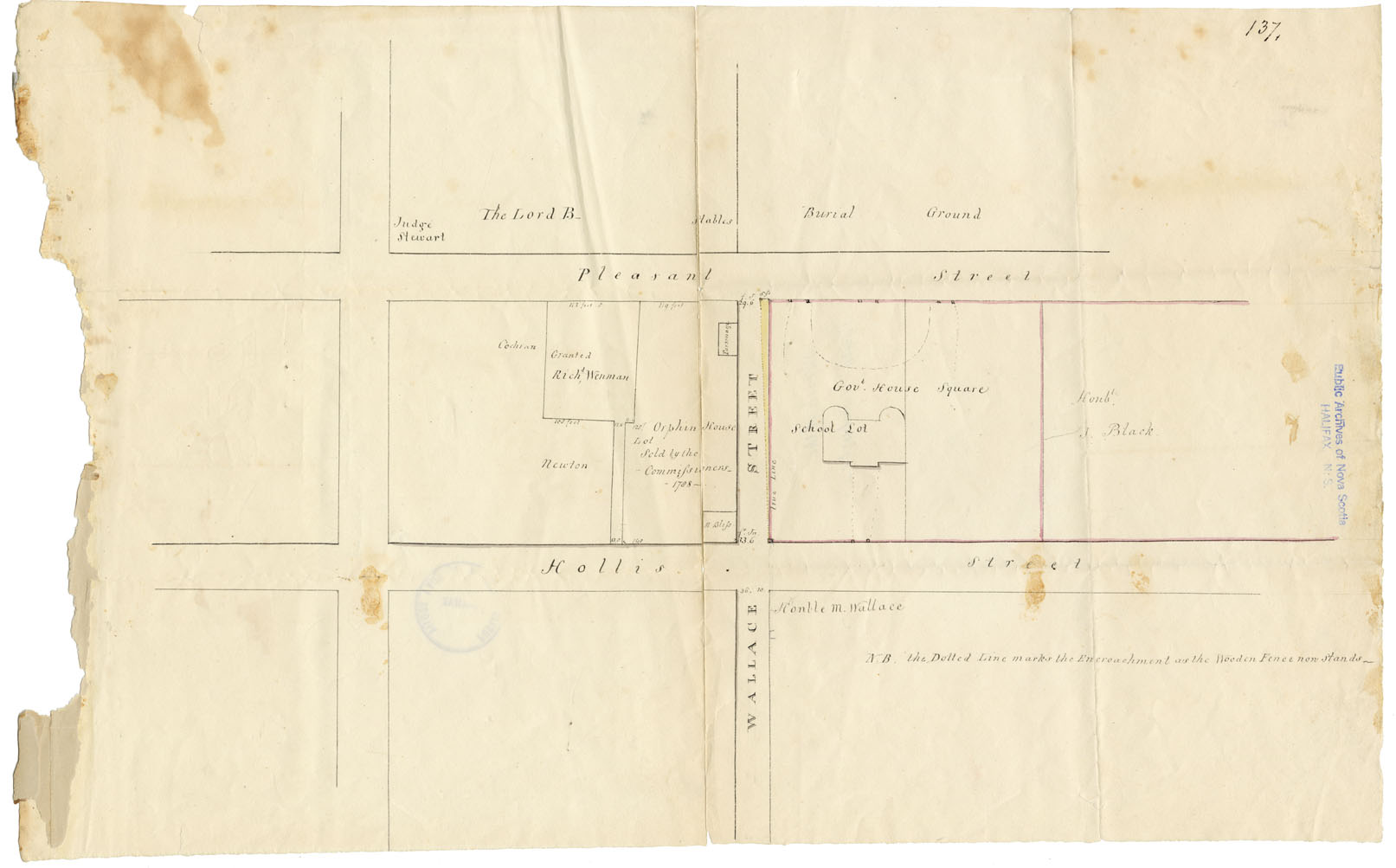
Plan South Suburbs showing Encroachment on Wallace St
Date: 1827
Reference: Nova Scotia Archives Map Collection: F/240 - 1827
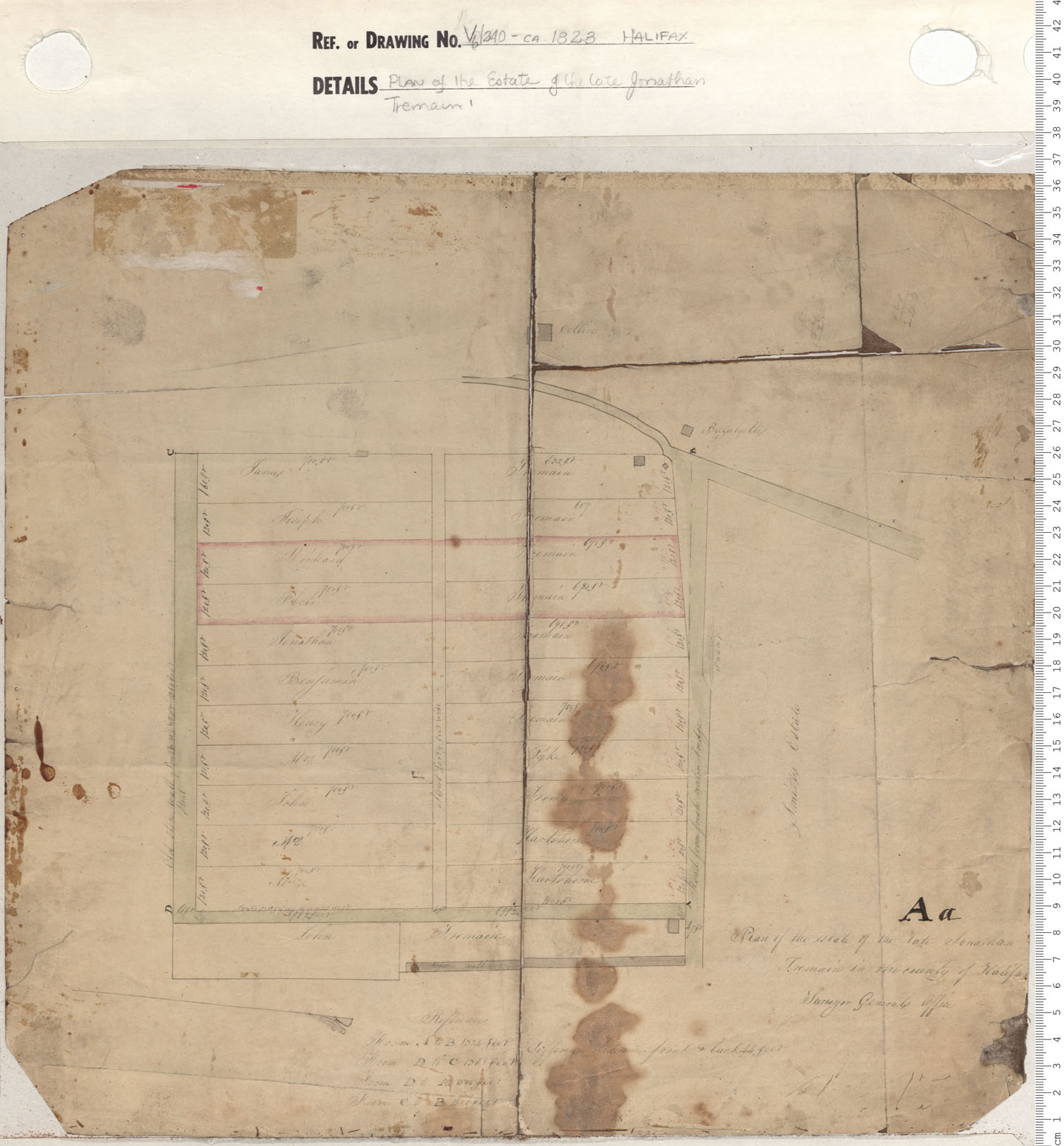
Plan of the Estate of the Late Jonathan Tremain
Date: 1828
Reference: Nova Scotia Archives Map Collection: V6 240 Halifax, Nova Scotia
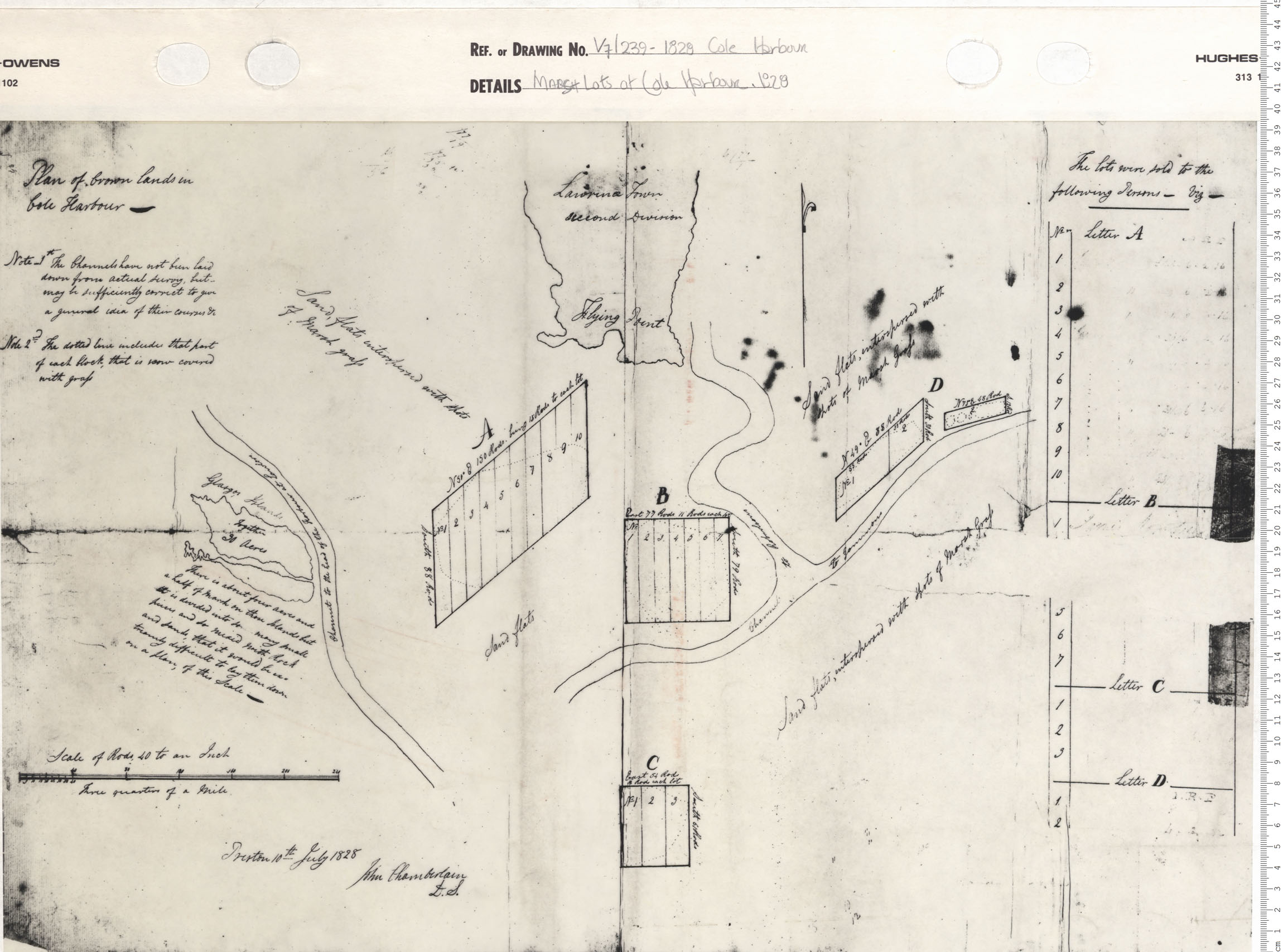
Marsh lots at Cole Harbour, 1828
Date: 1828
Reference: Nova Scotia Archives Map Collection: V7 239 Cole Harbour, Nova Scotia
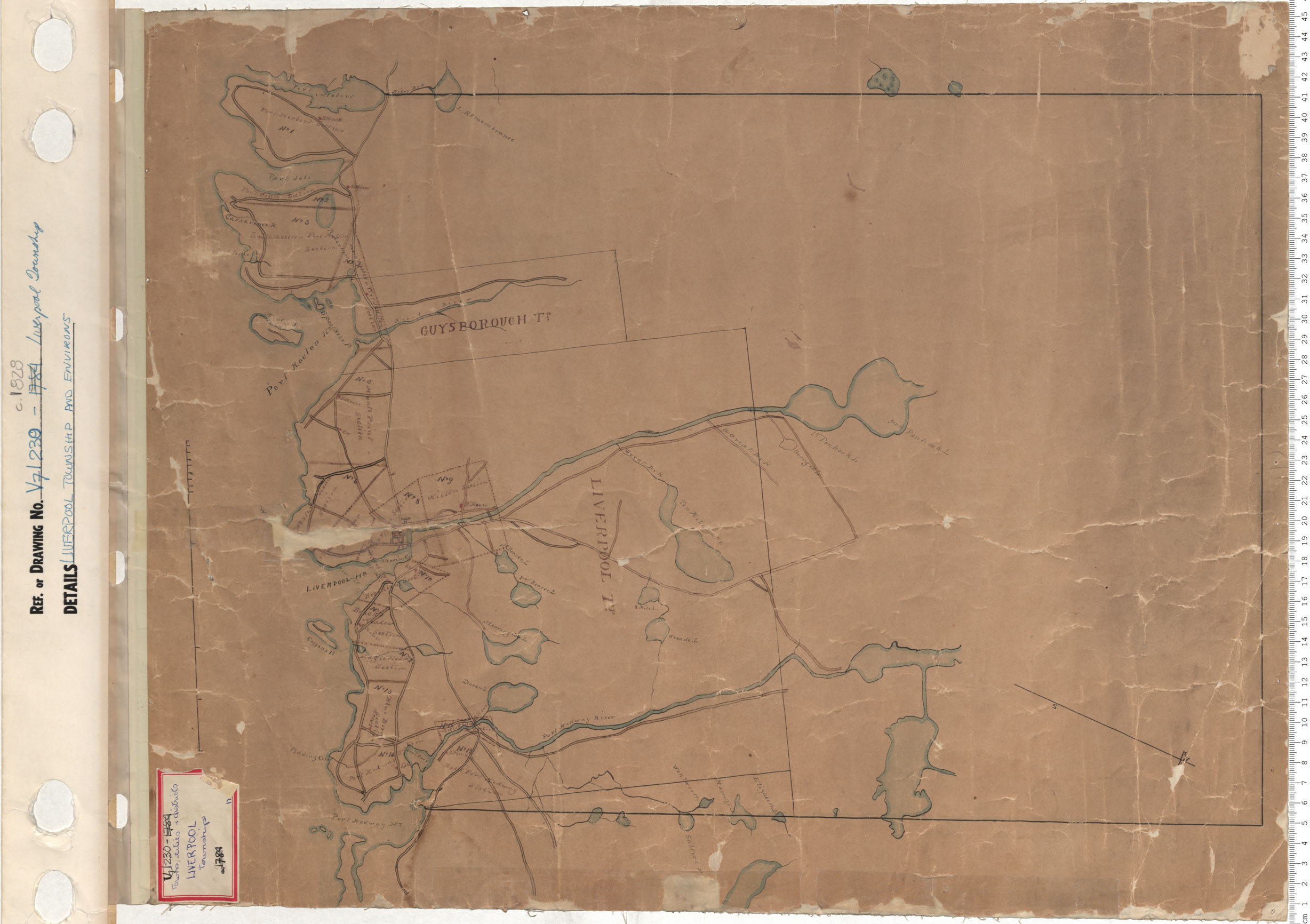
Liverpool Township and Environs
Date: 1828
Reference: Nova Scotia Archives Map Collection: V7 230 Liverpool Township, Nova Scotia
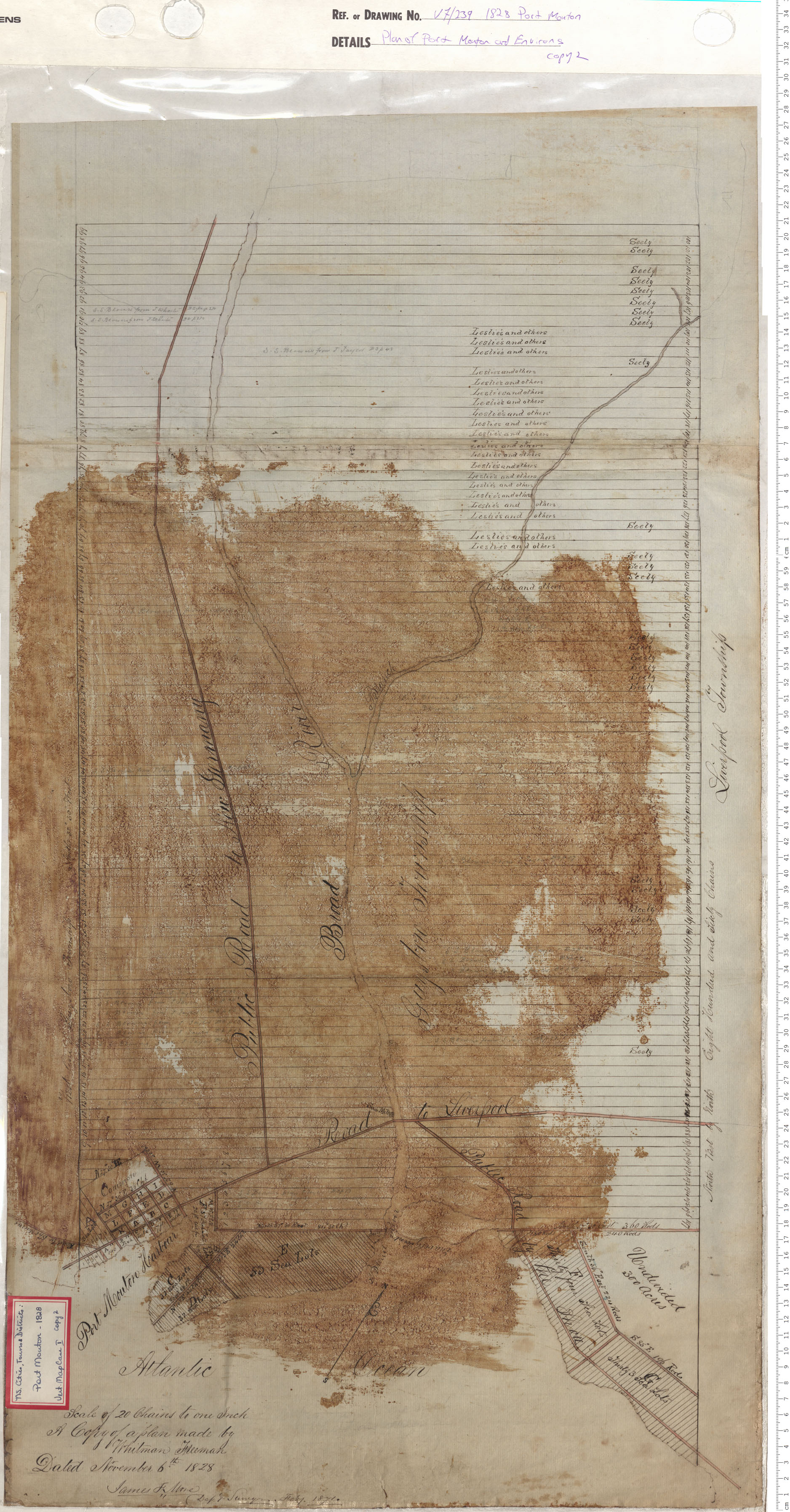
Plan of Port Mouton and Environs
Date: 1828
Reference: Nova Scotia Archives Map Collection: V7 239 Port Mouton, Nova Scotia
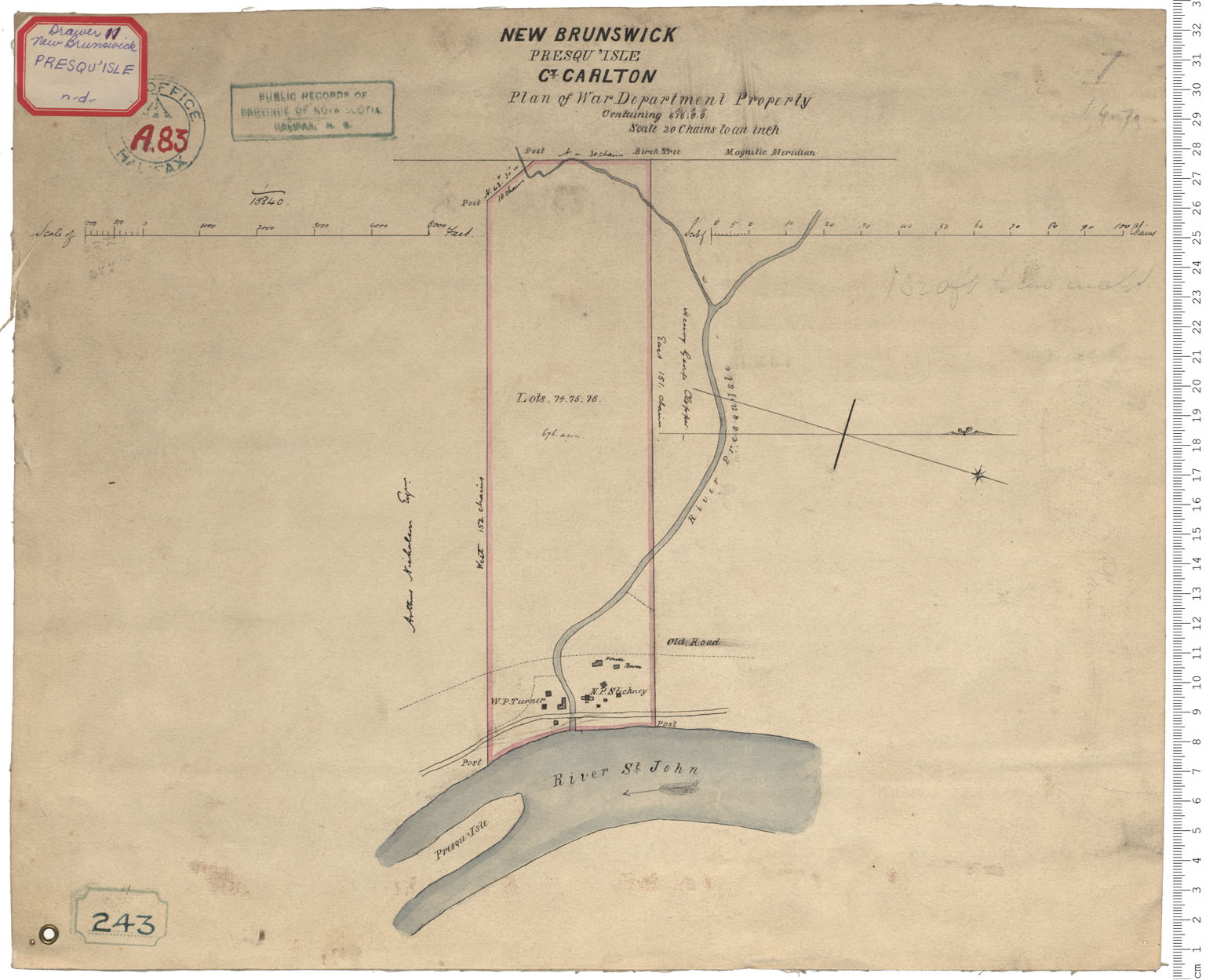
War Department Property - Presqu'Isle
Date:
Reference: Nova Scotia Archives Royal Engineers Maps and Plans A.83
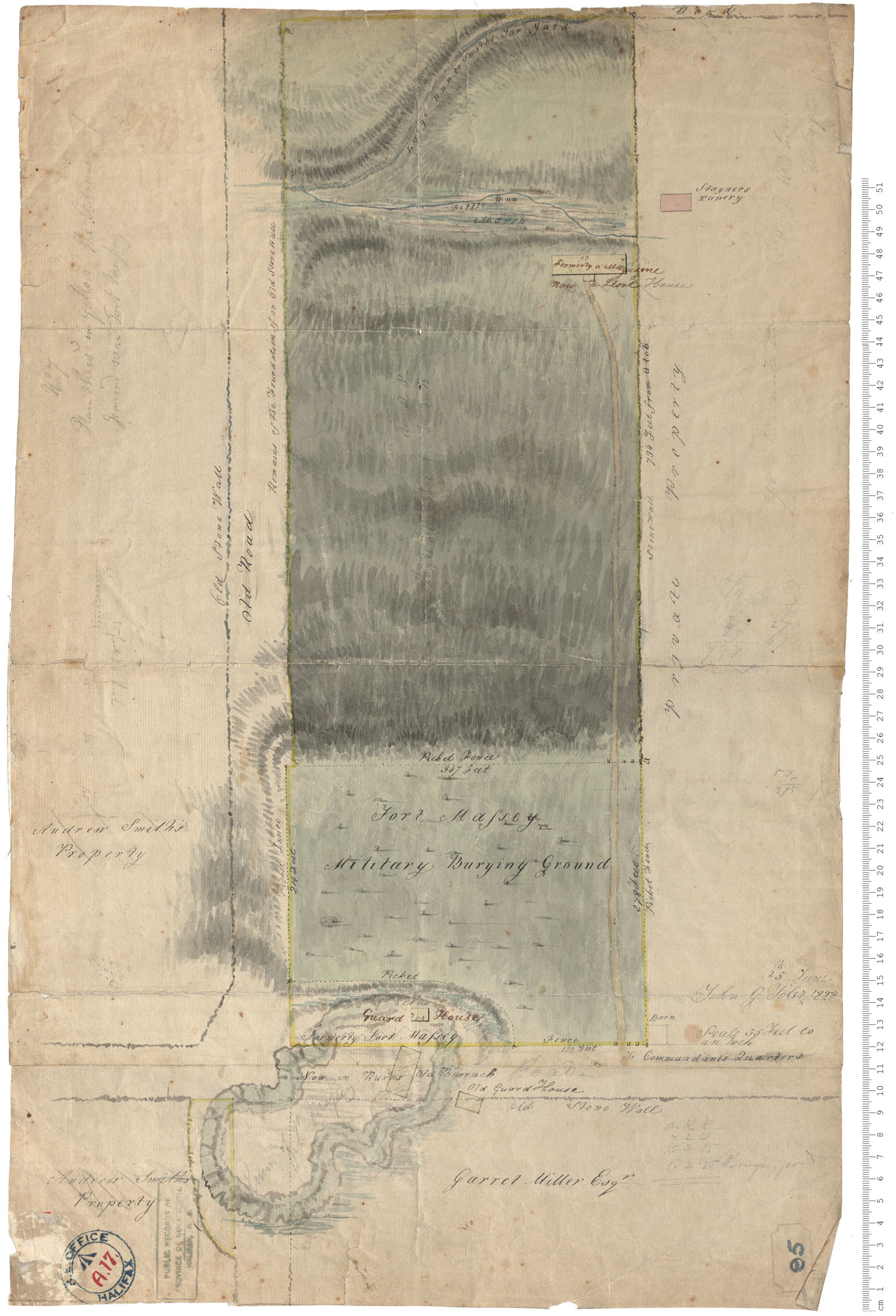
Fort Massey - Military Burying Ground
Date: 25 June 1828
Reference: Nova Scotia Archives Royal Engineers Maps and Plans A.17
Halifax County Clam Harbour w.m. 1828
Date: 1828
Reference: Nova Scotia Archives Map Collection: F/210 - 1828
