Nova Scotia Archives
Les familles Easson et Hoyt
Résultats 1231 de 1237 de 1237 de votre recherche:
sorte a-z titre | date | référence
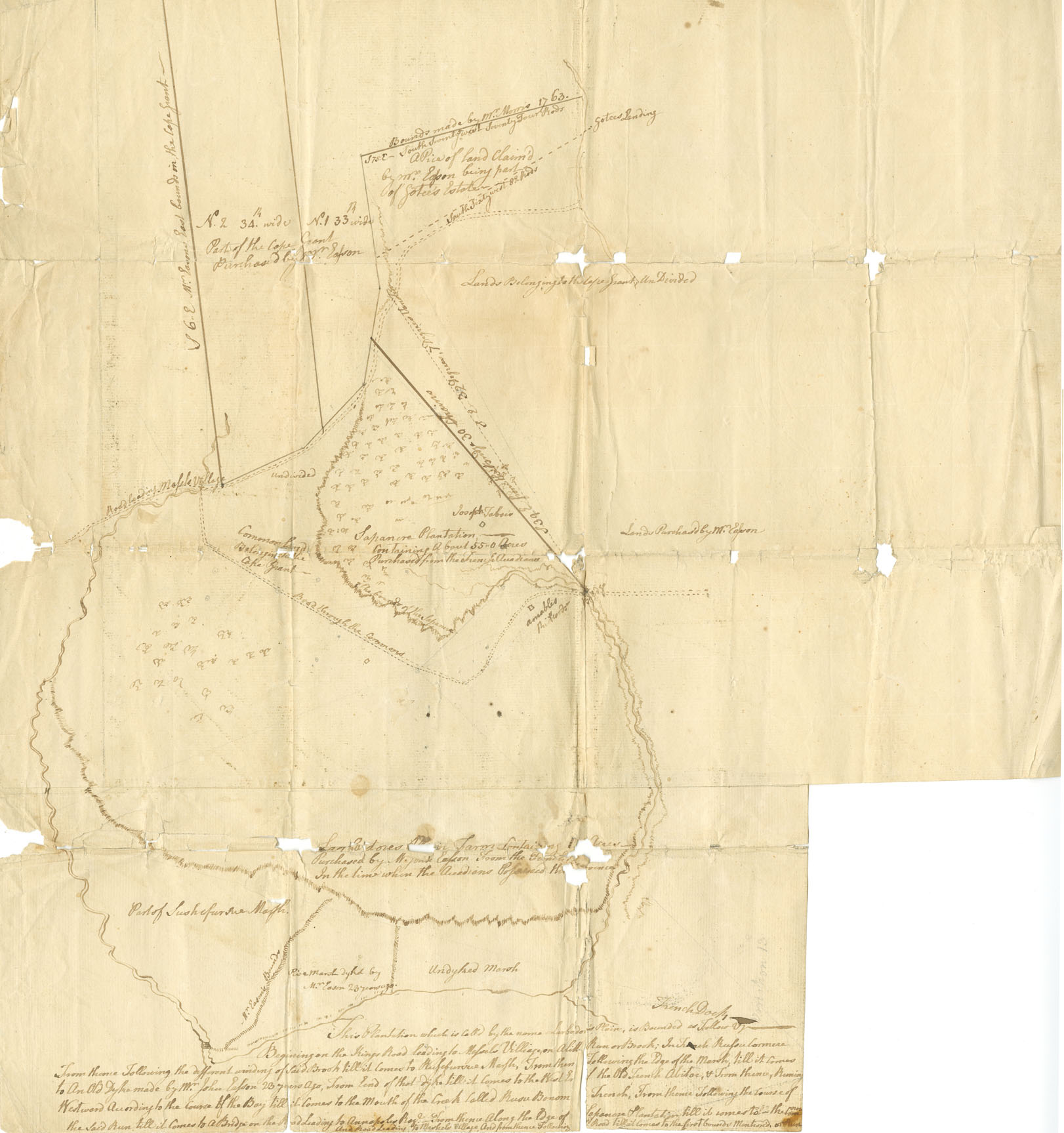
« This Plantation which is called by the name Larbador's Plain »
Survey drawing, land in Annapolis Township.
date: n.d. but ca.1763
numéro de référence: Easson family Nova Scotia Archives V7/230 - ca.1763 M/1
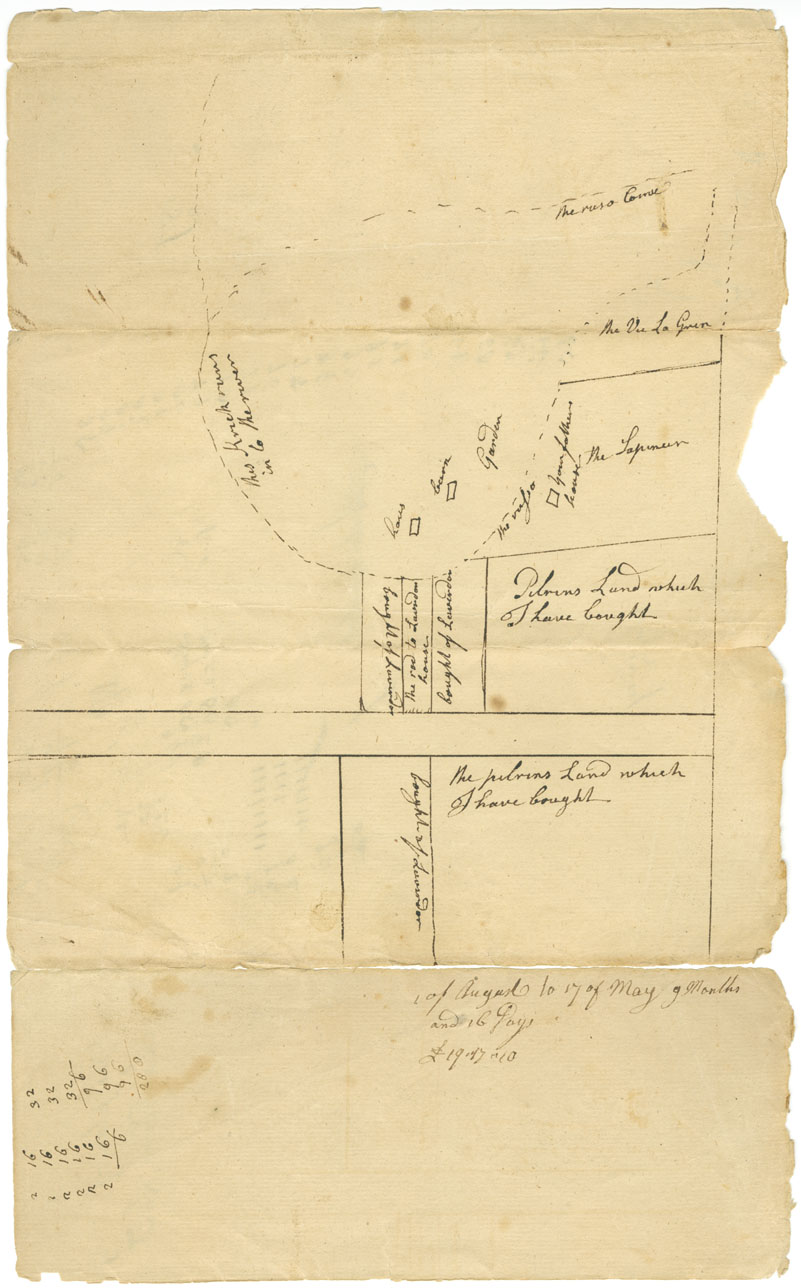
« The plan of Laverdors Land »
Also shows "Pelrins Land which I have bought" ; Annapolis Township.
date: ca.1763
numéro de référence: Easson family Nova Scotia Archives F/230 - ca.1763 M/2
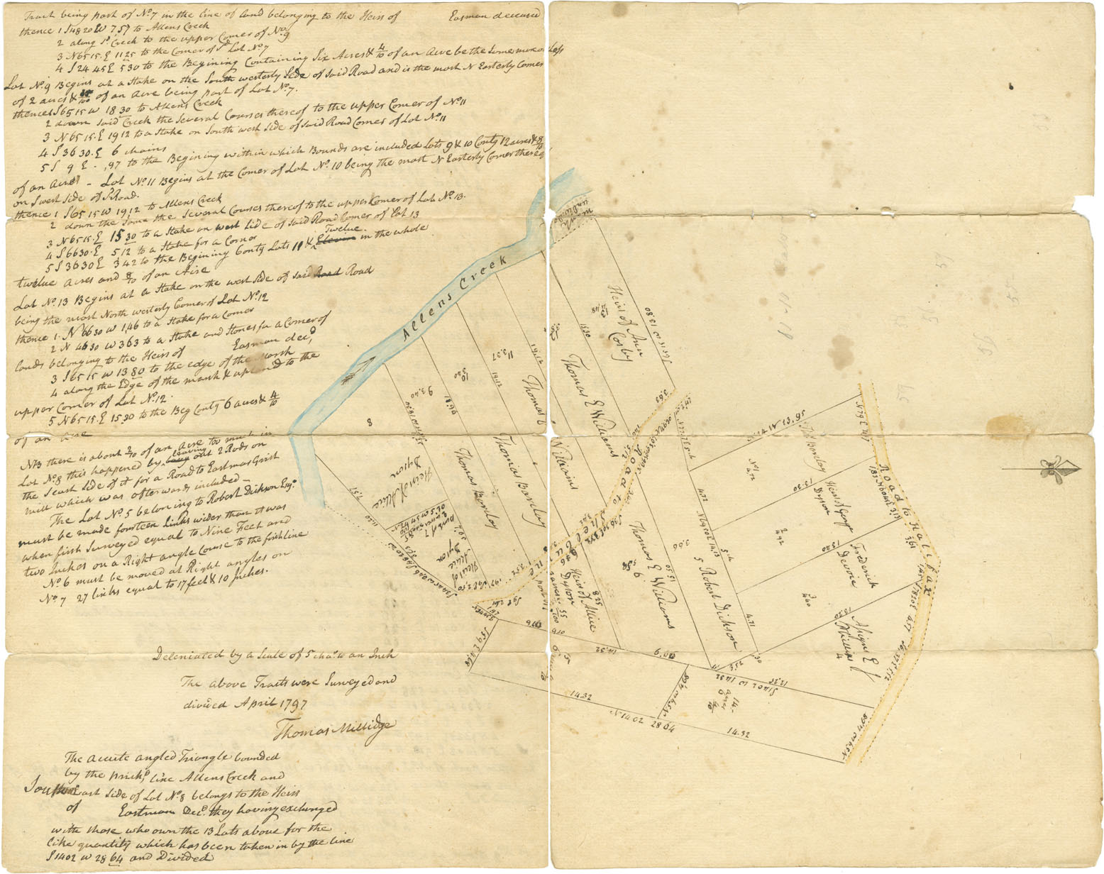
« A Map of 15 Lots of Land near the Cape in Township of Annapolis ... »
" ... surveyed and divided for Colonel Barclay and Others" by Thomas Millidge. (Original and copy)
date: April 1797
numéro de référence: Easson family Nova Scotia Archives F/230 - ca.1797 M/3
« Plan of Lands at Annapolis belonging to Heirs of the late John Easson »
Surveyed by John Harris, Deputy Surveyor. Shows "the true situation and content of lands near the town of Annapolis, belonging to the Heirs…."
date: May 1797
numéro de référence: Easson family Nova Scotia Archives V7/230 - ca.1797 M/4
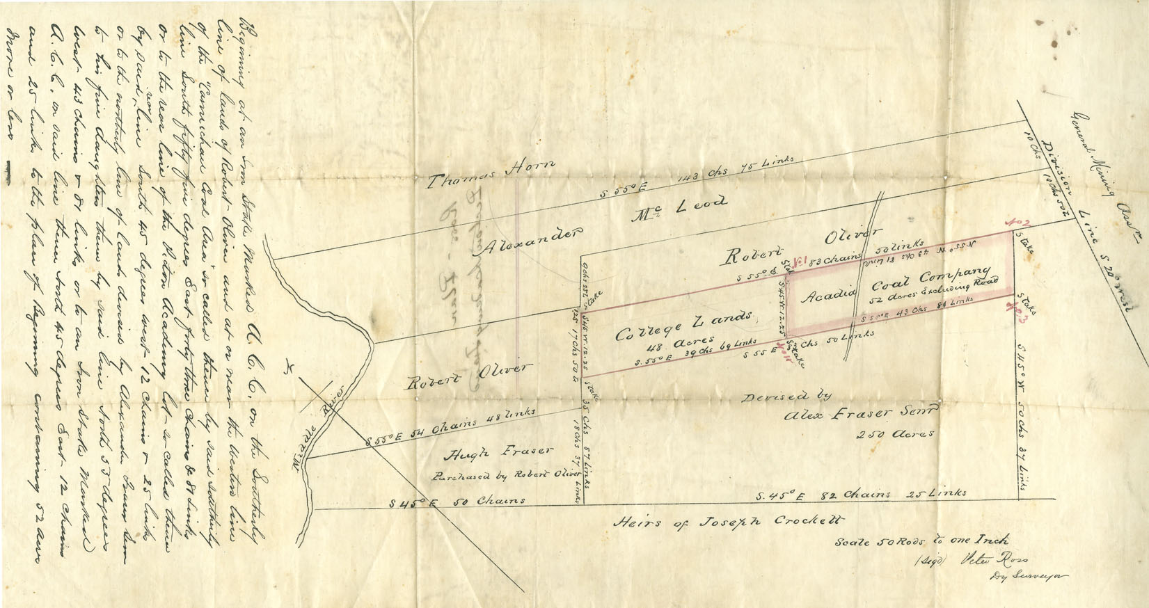
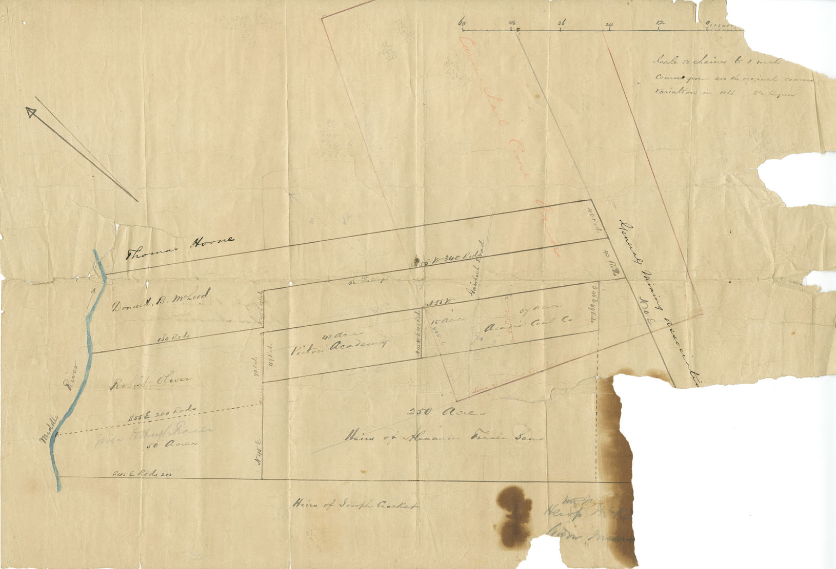
« Ross' Plan Pictou Academy Land »
Showing College Lands and those of Acadia Coal Company and the General Mining Association; Pictou County; drawn by Peter Ross, Deputy Surveyor.
date: n.d. but ca.1866
numéro de référence: Easson family Nova Scotia Archives V7/239 - ca.1866 M/5
« Hoyt Plan Pictou Academy Land »
And those of Acacia Coal Company and General Mining Association, drawn by Jesse Hoyt; Pictou County.
date: n.d. but ca.1866
numéro de référence: Easson family Nova Scotia Archives V7/239 - ca.1866 M/6
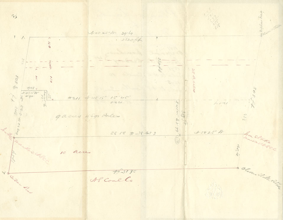
« Plan of Lands at Westville, NS »
Hand-drawn plan showing original purchase of lands from Pictou Academy in 1871 and lots sold to NS Coal Company in 1875.
date: n.d. but ca.1875
numéro de référence: Easson family Nova Scotia Archives F/239-1875 M/7
