Nova Scotia Archives
Historical Maps of Nova Scotia
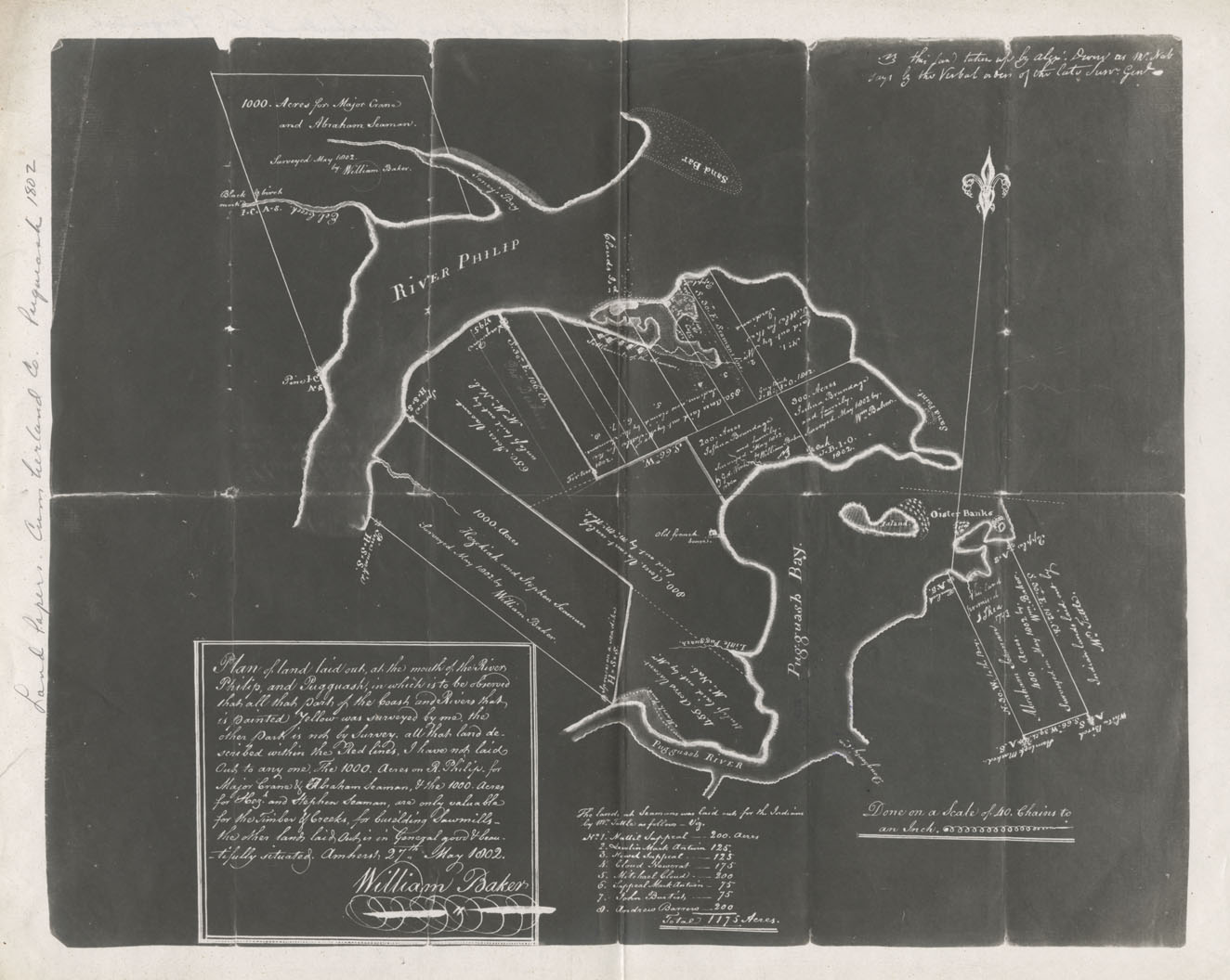
Land Papers: Cumberland County: Pugwash
Plan of land laid out at the mouth of the River Philip and Puggwash, in which is to be observed that all that part of the coast and rivers that is painted yellow was surveyed by me the other part is not by survey all that land described within the red lin
Date: 27 May 1802
Reference: Nova Scotia Archives Map Collection: F/230 - 1802

