Nova Scotia Archives
Historical Maps of Nova Scotia
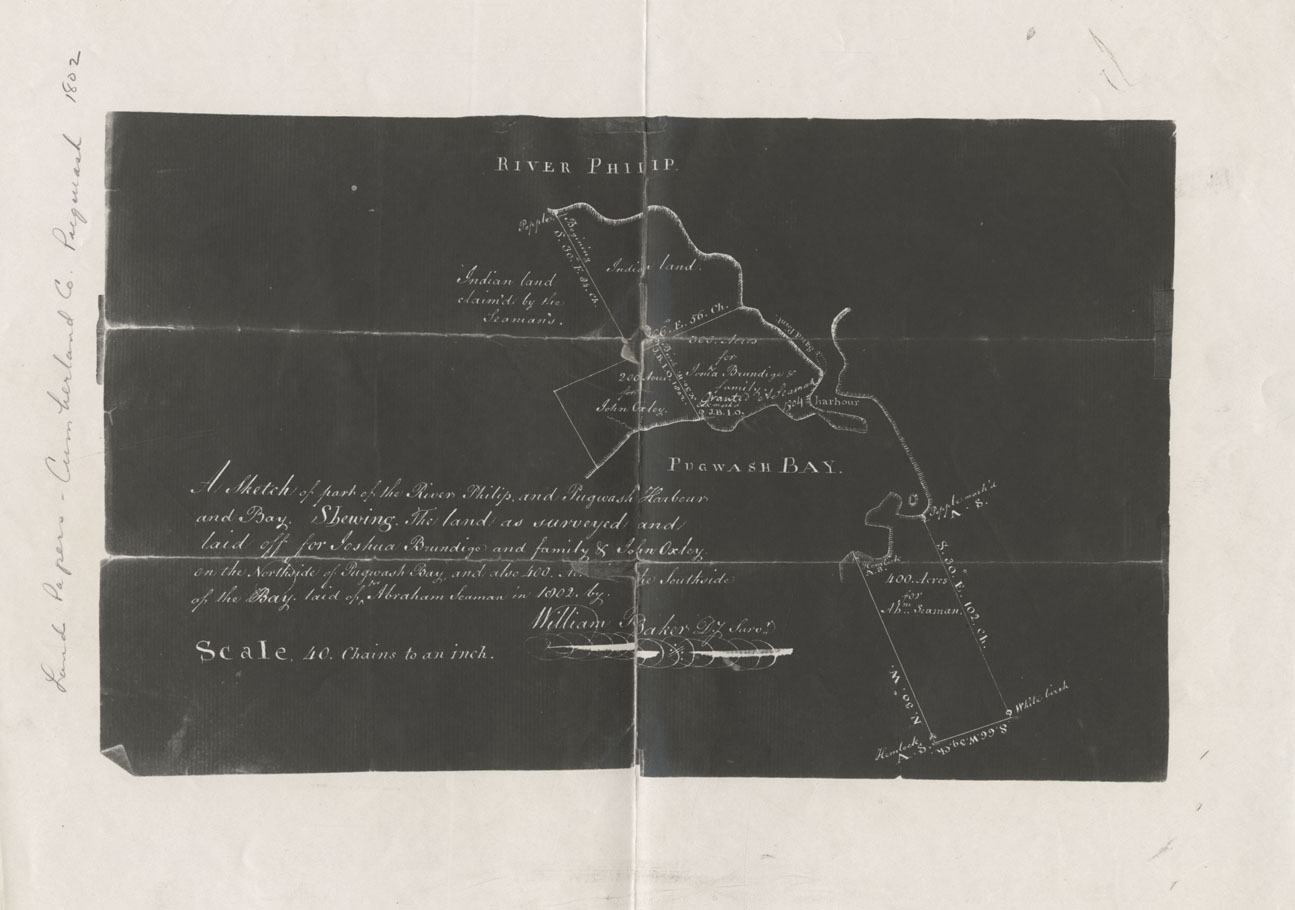
Land Papers: Cumberland County: Pugwash
A Sketch of part of the River Philip and Pugwash Harbour and Bay. Showing the land as surveyed and laid off for Joshua Brundigo and family & John Oxley on the north side of Pugwash Bay and also 400 acres on the south side of the bay laid of for Abraham S
Date: 1802
Reference: Nova Scotia Archives Map Collection: F/230 - 1802

